Welcome to The Bearded Pug — part adventure journal, part campfire story, and 100% off the beaten path, with a new Adventure Pug, “Lola”!


 I’m T.B. Pug — a scruffy-bearded, pug-obsessed wanderer. I have a soft spot for mountain air, open water, and sunsets that no Instagram filter can improve. This little corner of the internet is where I document the good stuff. For instance, that means camping deep in the Appalachians and hiking trails that make my knees question our friendship. It also means kayaking, snorkeling, and snapping photos along the way. Additionally, you might catch an honest, no-frills take on the gear I use. No sponsors, no fluff — just real talk from someone who’s actually out there in it.
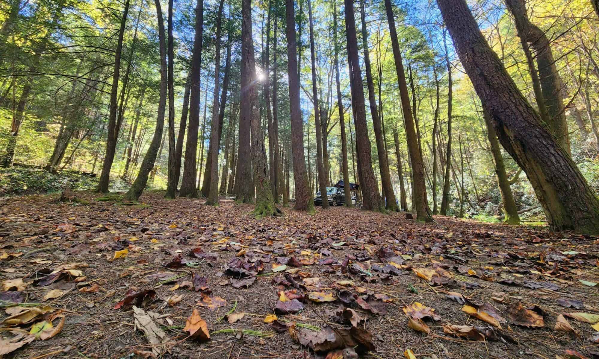
The original plan was to thru-hike the Appalachian Trail. After nearly a year of getting my body and mind trail-ready, my journey kicked off at Unicoi Gap on September 6th, 2024. However, life had other plans — surgery has a way of rewriting your itinerary. So the dream shifted. These days, I section hike when I can. Meanwhile, I spend as much time as possible camping in and around the Appalachians. Turns out, slowing down isn’t so bad when the view is this good.
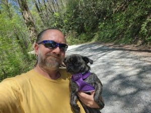
You’ll also be seeing a lot more of my pug, Lola, as she joins me on these adventures. Fair warning: she has four legs, zero trail etiquette, and an alarming amount of charisma. She may steal the show.
This site is mostly for friends and family — a way to share the journey without needing an algorithm to do it. But if you stumbled in from somewhere else, welcome. Pull up a camp chair, the coffee’s on.
~T.B. Pug