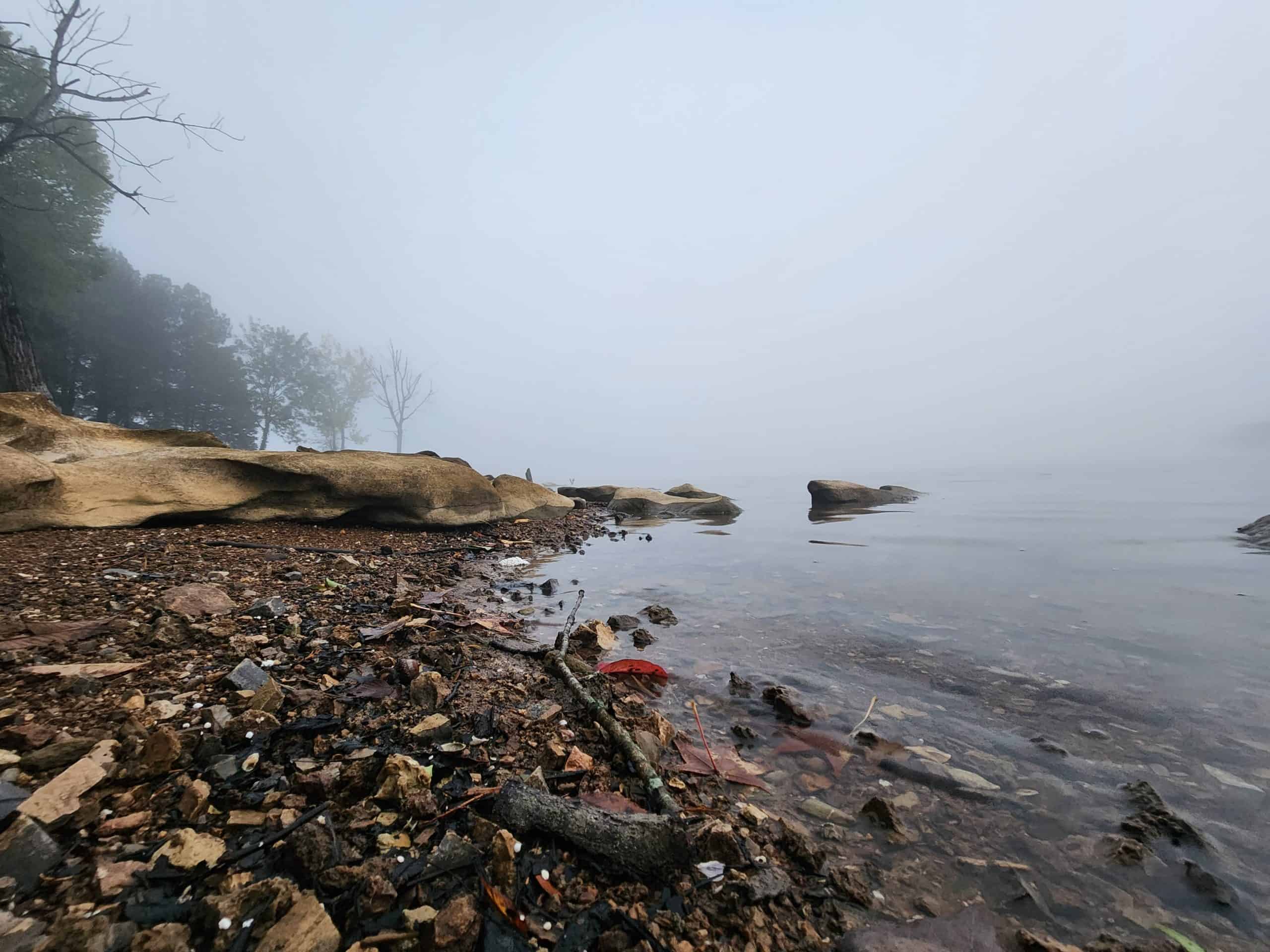
Location: Edgar Evins
Address: 1630 Edgar Evins State Park Rd, Silver Point, TN 38582
Telephone: (888) 867-2757
Lat/Long: 36.082730, -85.832353
Website: https://tnstateparks.com/parks/edgar-evins
Date: September 7th 2025
Hardware used for media: GoPro 10, Insta360 X3, Galaxy S22
This is a multi-part post covering my ride home — a day packed with scenic stops, unexpected detours, and a few genuinely jaw-dropping moments along the way.
I woke up to a crisp 52 degrees — a real test for my new Exped 3-season sleeping bag. I had no idea just how cold it had gotten overnight until I finally crawled out of the tent.
The water was absolutely blanketed in fog. It looked like a scene straight out of The Mist. I packed up camp, grabbed every camera I had, and made a beeline for the water. The stillness was eerie, but beautiful.


Location: Barnes Creek Falls
Address: None, it’s a F.S. Road! Use the coordinates.
Telephone: N/A
Lat/Long: 34.825979, -84.582195
Website: https://www.gawaterfalls.com/barnes-creek-falls.html
Date: September 7th 2025
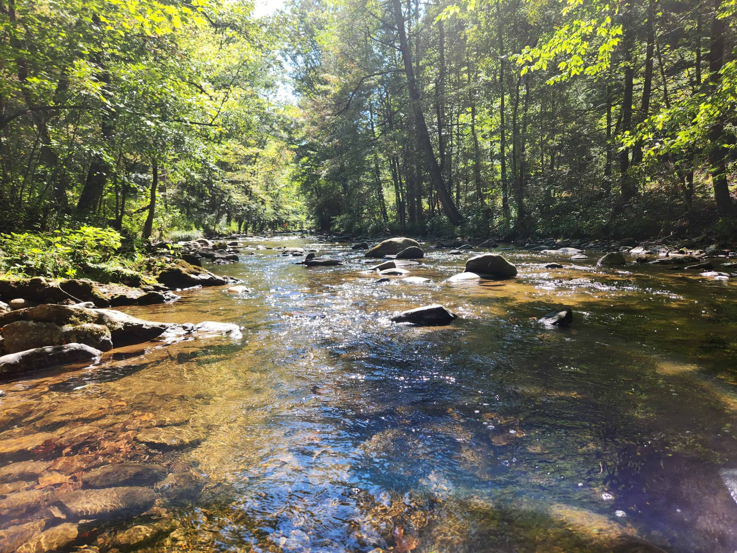
Barnes Creek was on my way (somewhat) and I had almost talked myself out of it since I was already running behind. This waterfall was extremely calming. The forest service road runs alongside Barnes Creek for a good stretch on the way up, and I even spotted a couple of fly fishermen working the water.


Once I reached the falls, it did not disappoint. I managed to get one video of this beauty, which was my goal for this small detour. (Click the mute/unmute button for audio.)
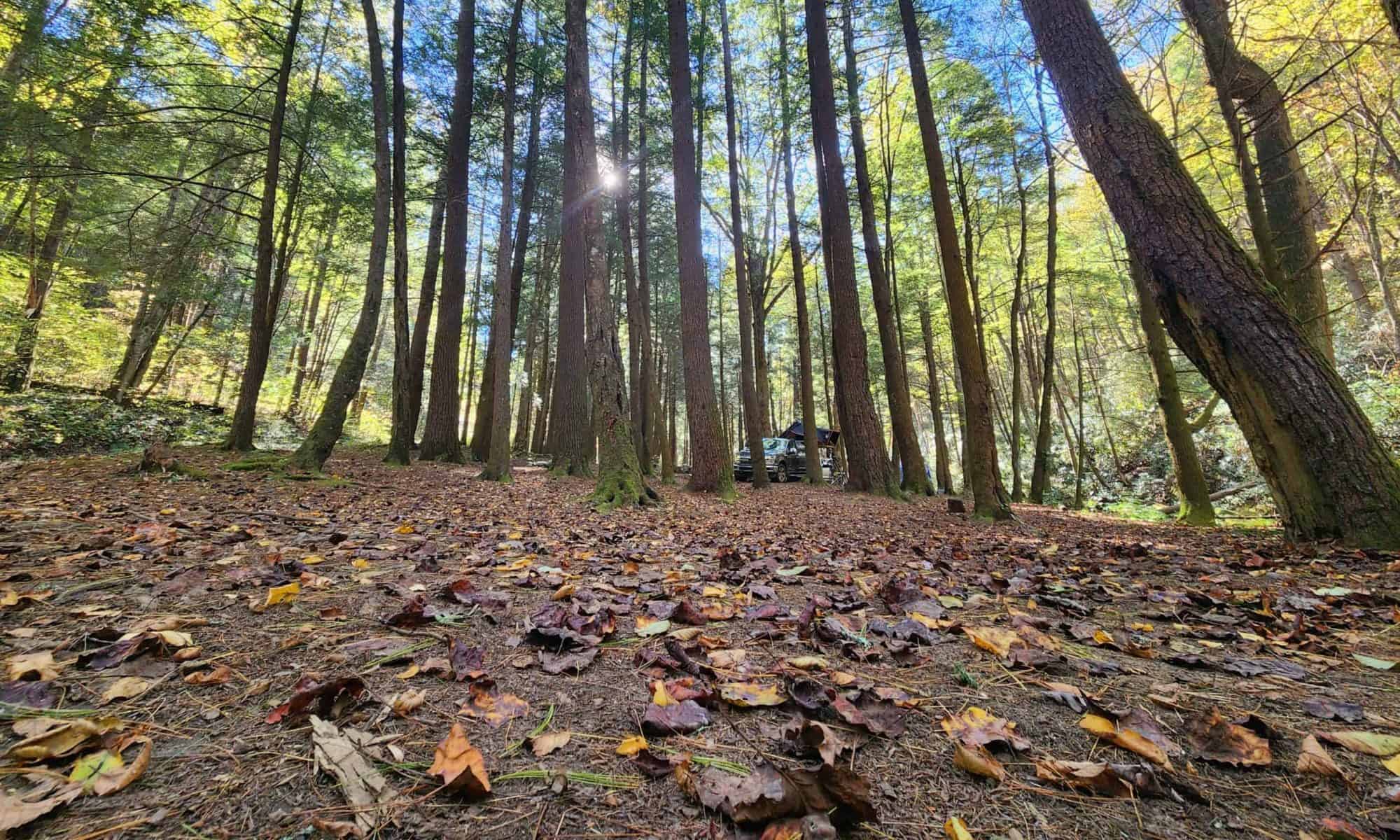
Location: Tray Mountain Wilderness
Address: None, it’s a F.S. Road! Use the coordinates.
Telephone: N/A
Lat/Long: 34.831496, -83.677064
Website: https://exploregeorgia.org/helen/outdoors-nature/hiking/tray-mountain-wilderness-area-cnf
Date: September 7th 2025
This was the real reason for the detour. To any serious backcountry campers in this area: please don’t come for me. I know this spot is something of an open secret, and I respect that.
While I was up there, I marked the coordinates of a few other sites in the area as well. They were smaller spots — room for maybe one to three vehicles.
This is a 15+ mile forest service road that hugs the side of the mountain, and for most of its length, it’s barely wide enough to squeeze a full-size truck through. It was an experience.


The FS road was rough today due to the previous few days weather. Potholes the size of tree trunks, rocks and boulders rivaling a Galápagos tortoise, and a road that offers a sheer drop on one side and a cliff face on the other for most of the way. That said, the payoff was absolutely worth it. The campsite itself is massive — easily enough room for 10 to 15 trucks — and Corbin Creek runs right alongside it.


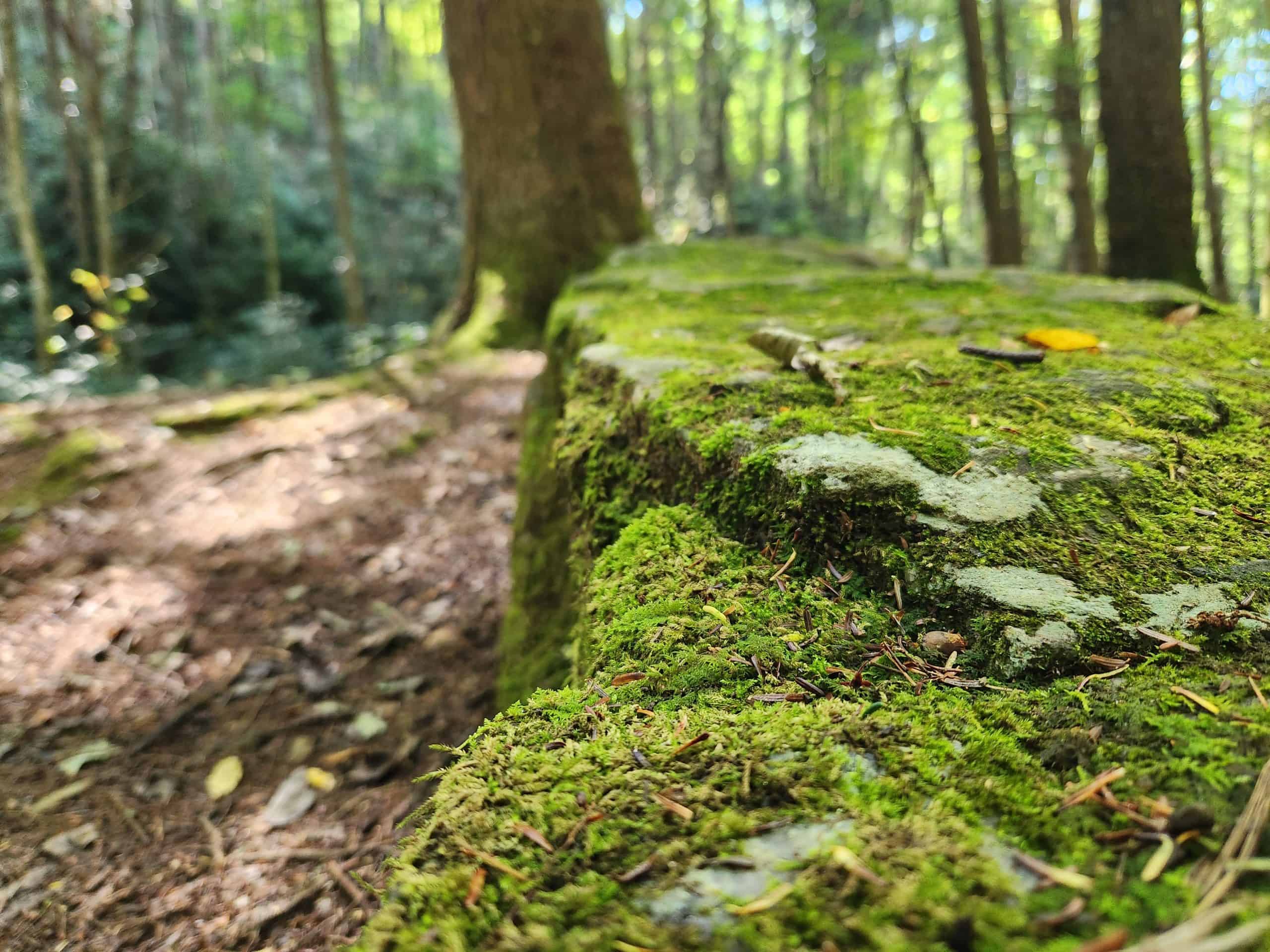
I also made a quick stop at Tray Gap on the way out. The Tray Mountain shelter is a short — roughly one-hour — hike up the path you can see cutting through the trees in the image below.
With everything checked off the list I pointed the truck toward home. Six hours of highway stretched ahead of me, and I finally pulled into my driveway at 12:15 AM Monday morning — tired, muddy, and already planning the next one.
Happy Camping!
See you on the trail!
~T.B. Pug