
Location: Edgar Evins
Address: 1630 Edgar Evins State Park Rd, Silver Point, TN 38582
Telephone: (888) 867-2757
Lat/Long: 36.082730, -85.832353
Website: https://tnstateparks.com/parks/edgar-evins
Date: September 7th 2025
Hardware used for media: GoPro 10, Insta360 X3, Galaxy S22
This will be a multi-post, as this was my ride back home day, with several stops along the way.
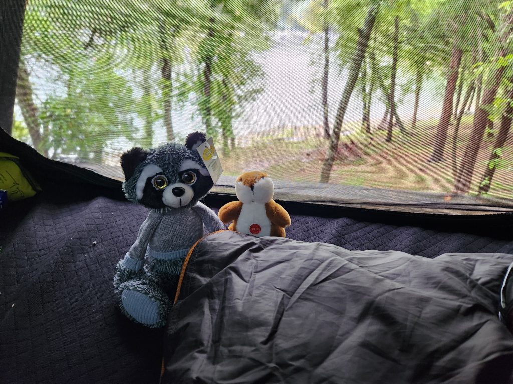
I woke up to an extremely chilly 52 degrees. Great test of my new Exped 3 season sleeping bag. It worked great. I didn’t realize how cold it was, even with all my windows open or slightly open, until I moved out of the sleeping bag! Going from 90+ degree temps in FL to the 50’s in 2 days was a bit of a shocker, but a wonderful bonus!
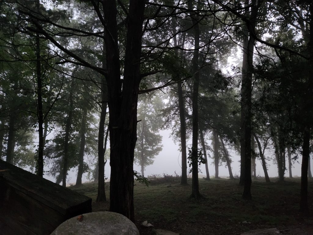
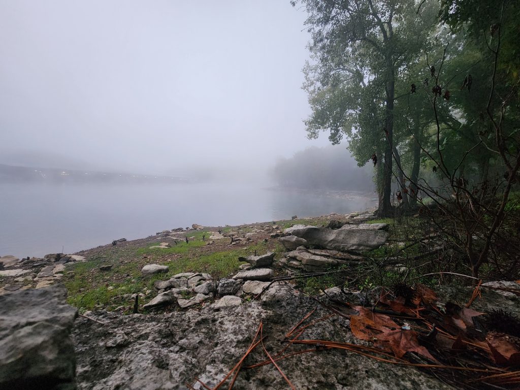
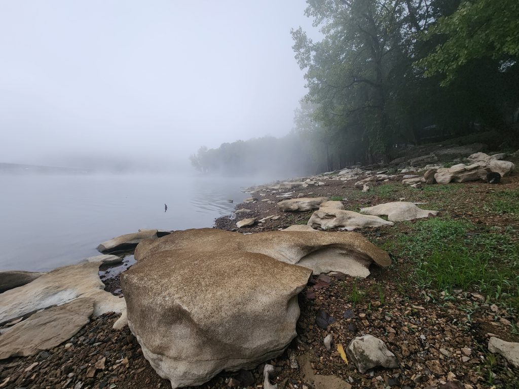
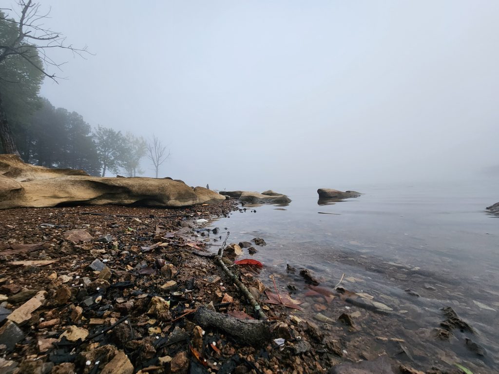
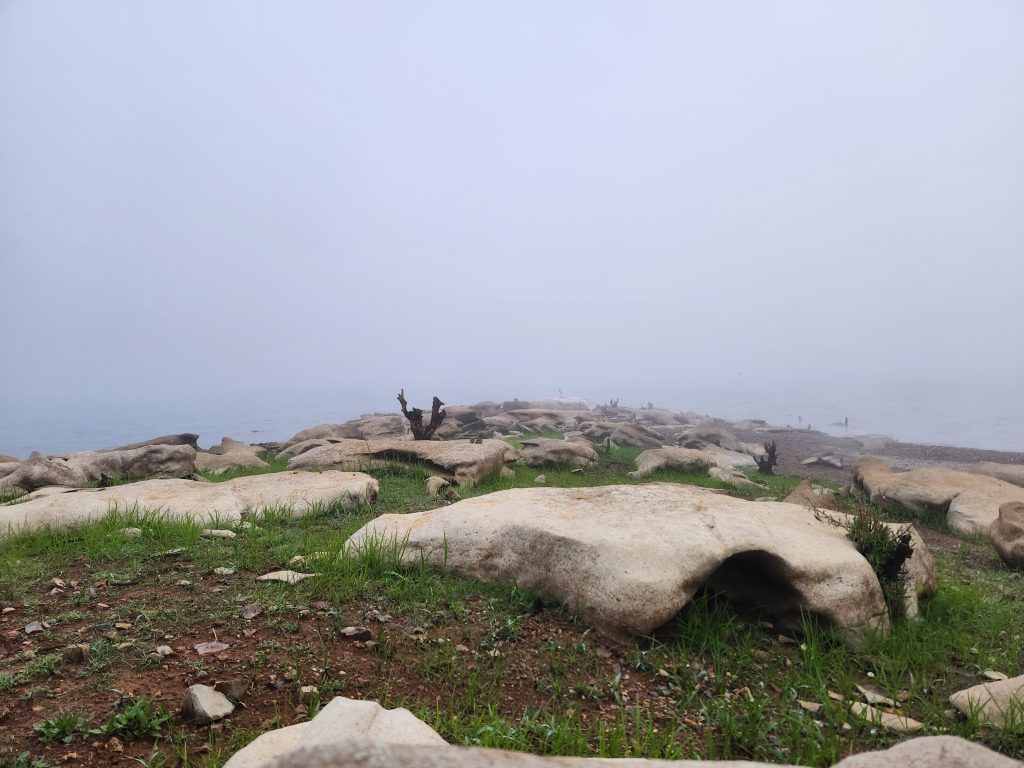
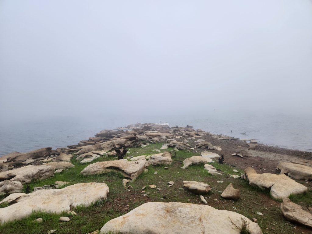
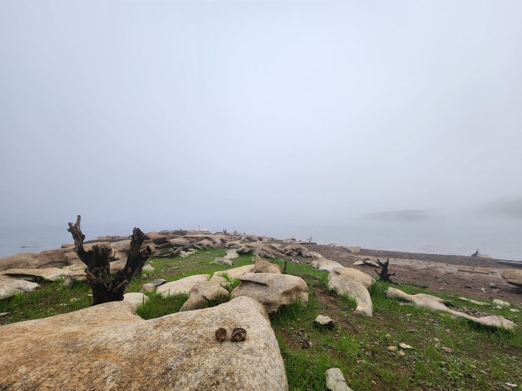
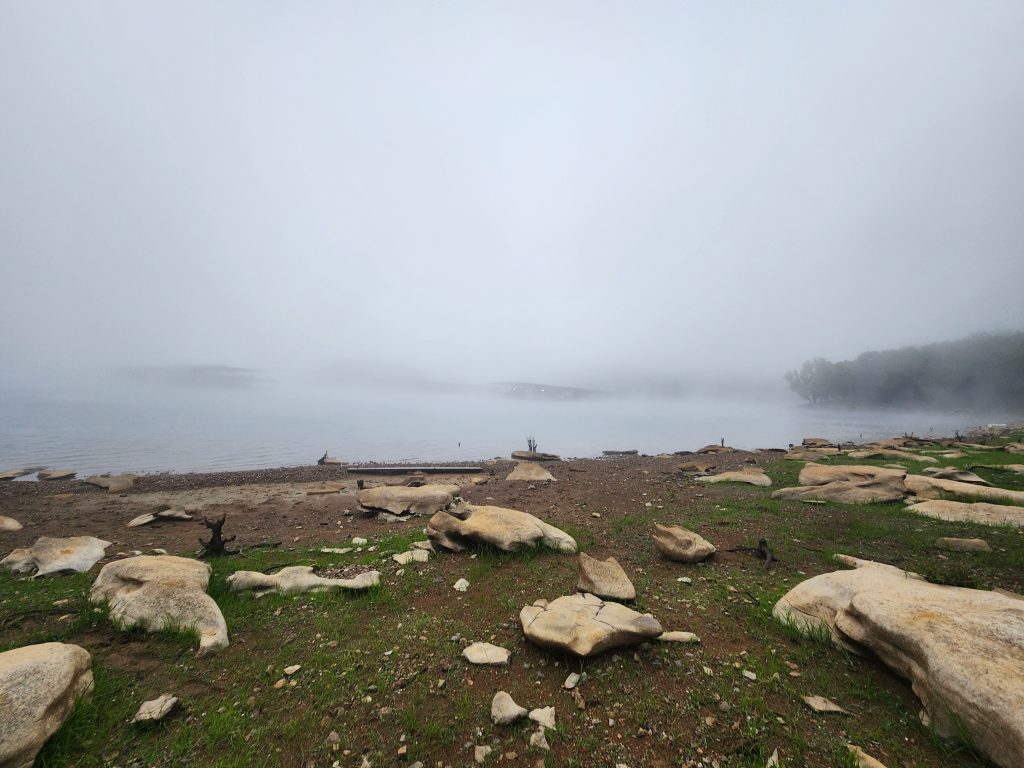
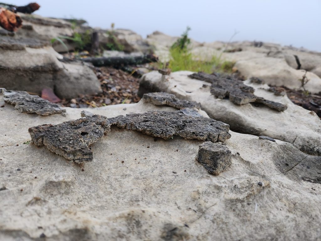
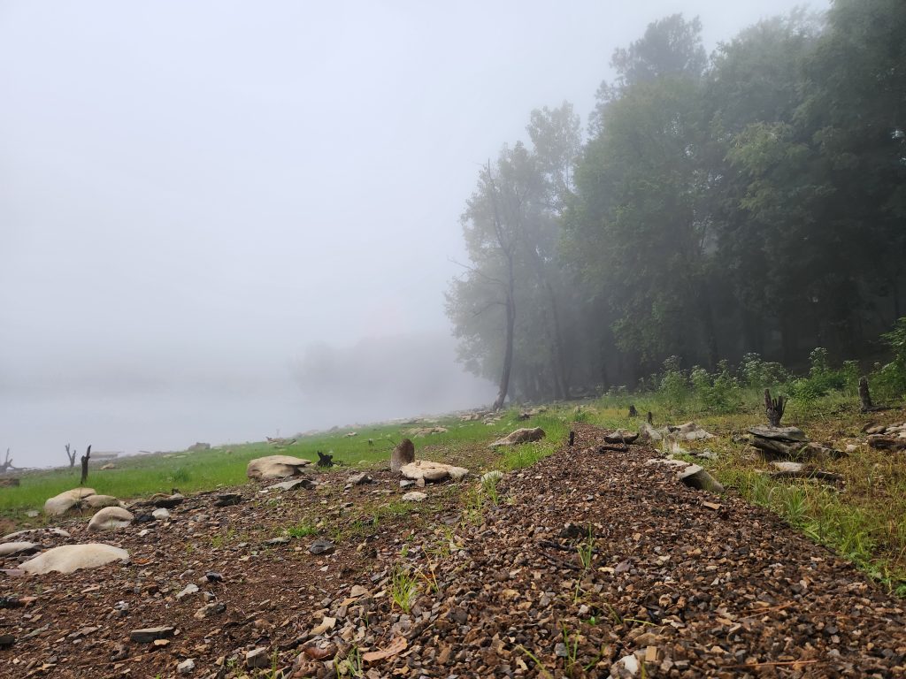
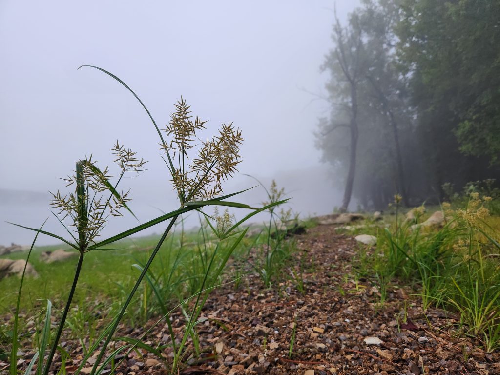
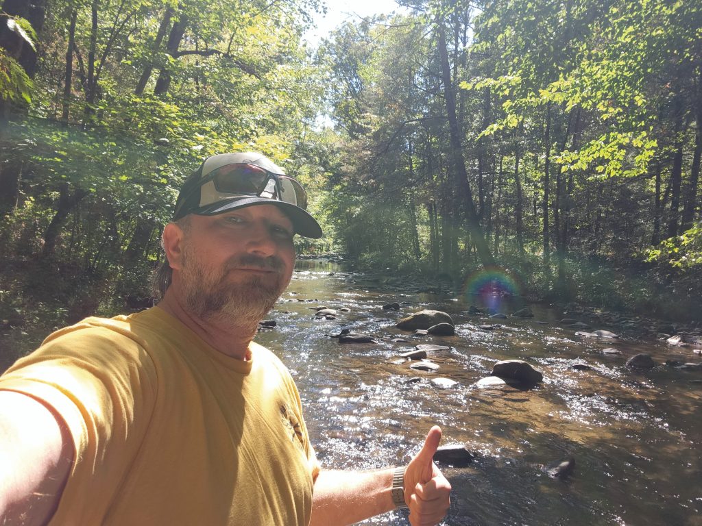
After I made myself some breakfast (oatmeal and crasins) I noticed while I was eating that the lake was EXTREMELY foggy! Felt like I was in the film “The Mist”. So I quickly ate my breakfast, packed most of my camp up, grabbed all my cameras and headed down to the water to see what kind of images I could grab. HOLY HELL, it was so calm and serine, not a single sound. LITERALLY, you could hear a pin drop. Course, it was around 6am, and I’m sure I annoyed someone while I was packing my camp up, but ya know what, that’s payback for keeping me up till 1am!!! This was a quick 30-60 minutes because I had several places to check out on my way home.
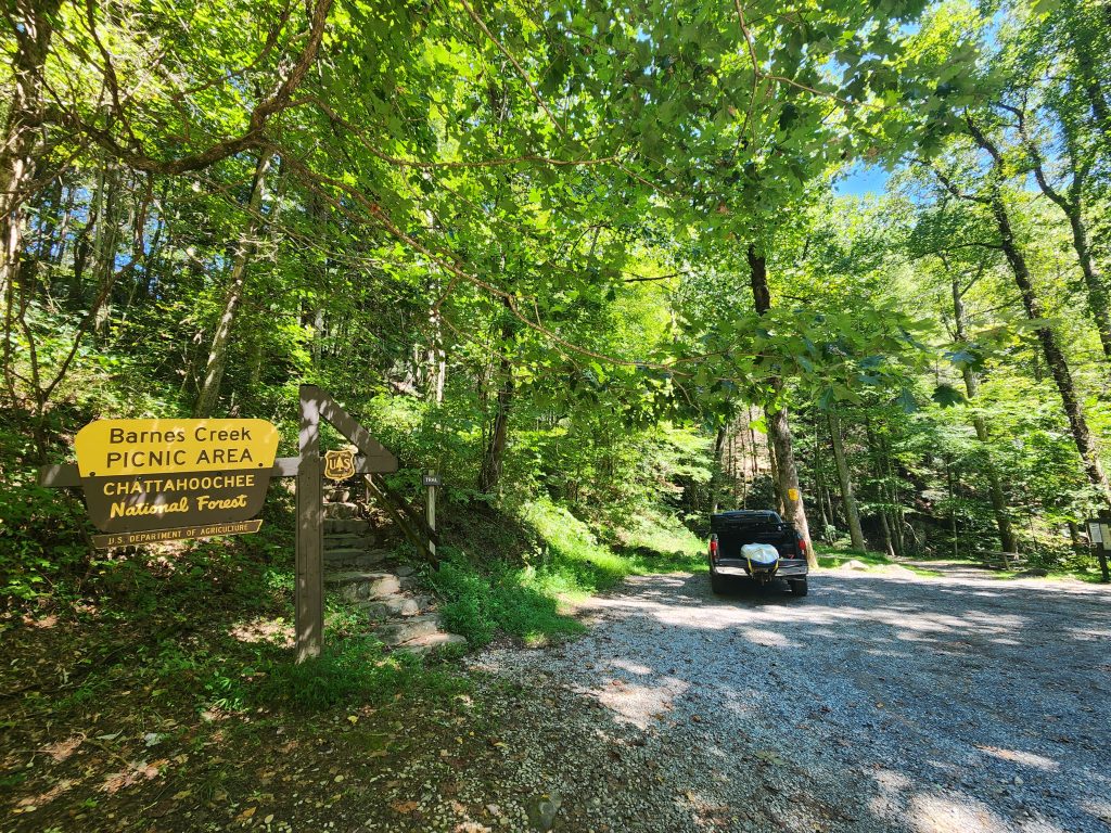
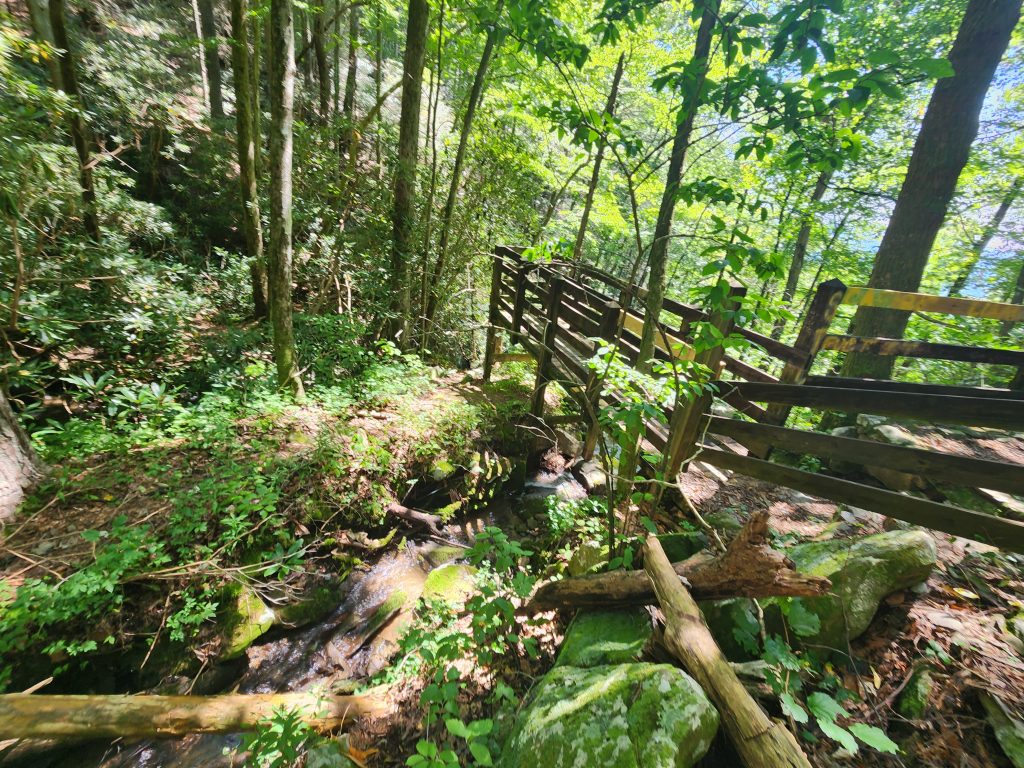
Location: Barnes Creek Falls
Address: None, it’s a F.S. Road! Use the coordinates.
Telephone: N/A
Lat/Long: 34.825979, -84.582195
Website: https://www.gawaterfalls.com/barnes-creek-falls.html
Date: September 7th 2025
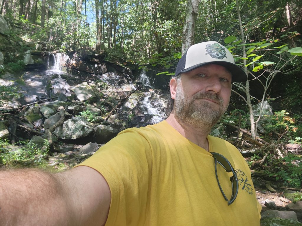
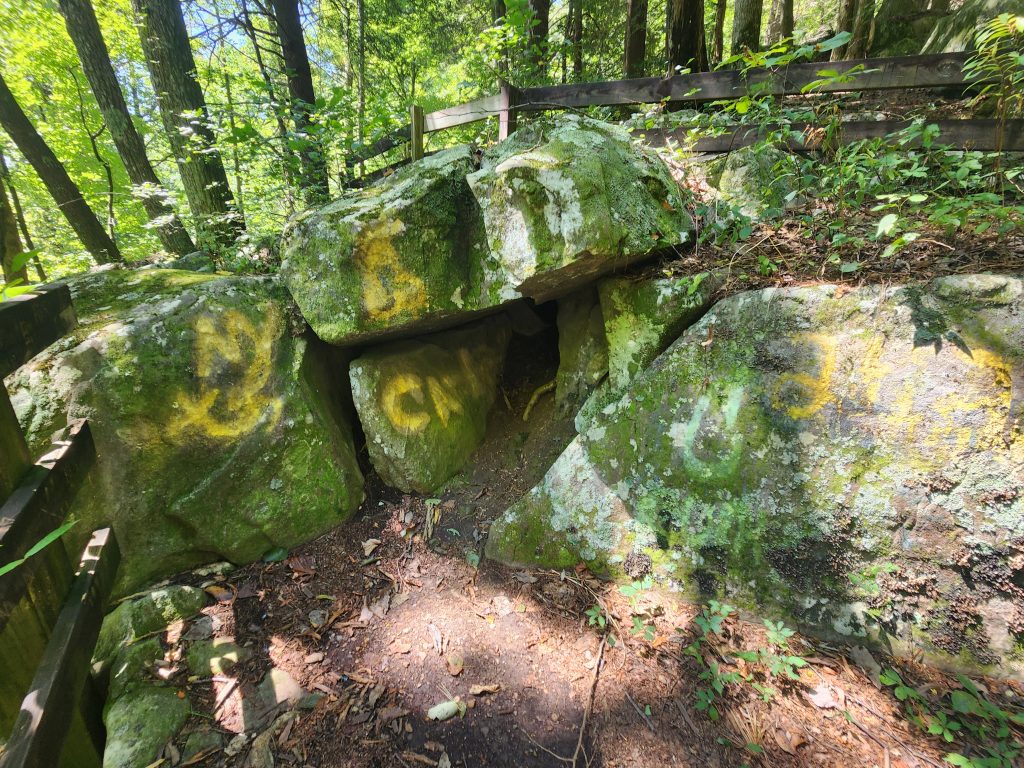
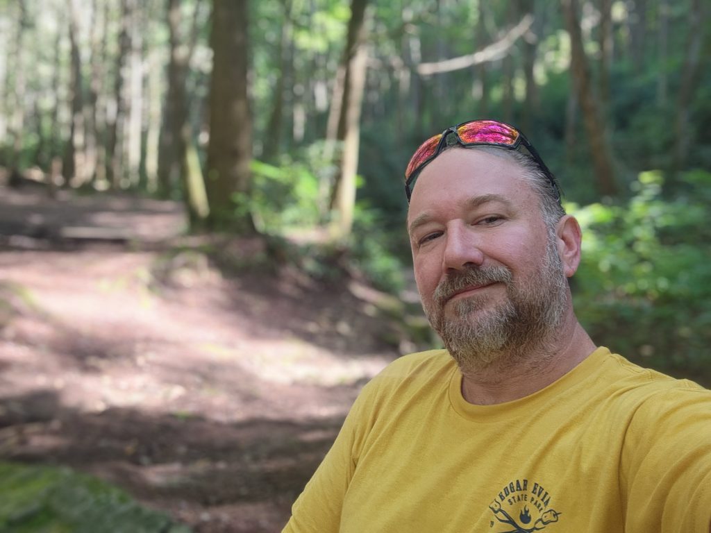
*Don’t mind my lack of smile, I’m in bliss here!
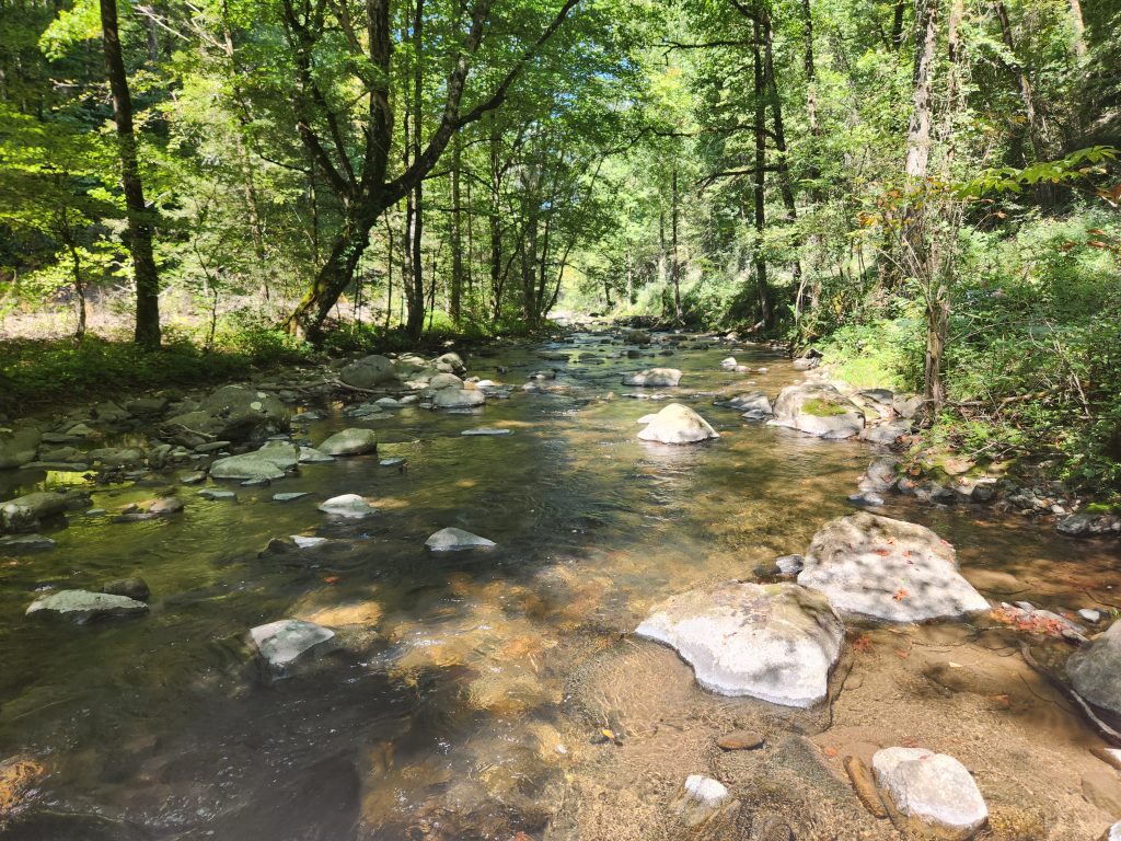
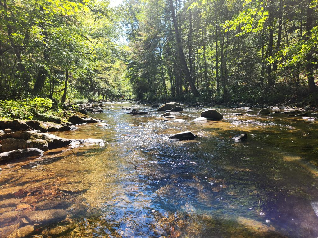
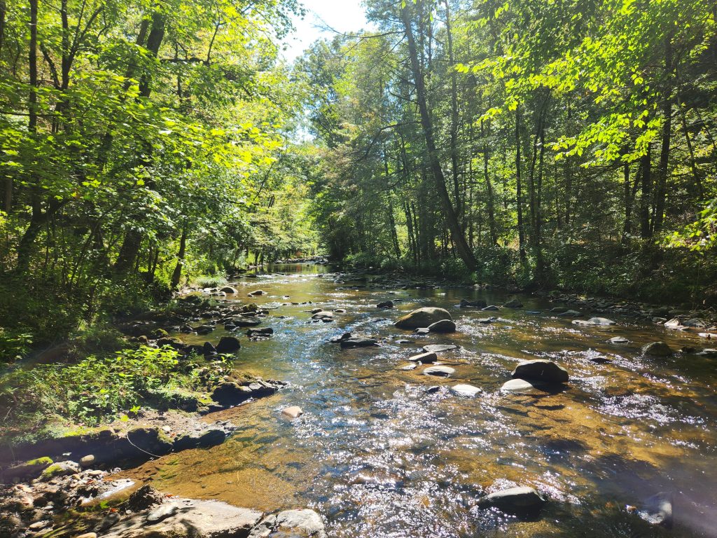
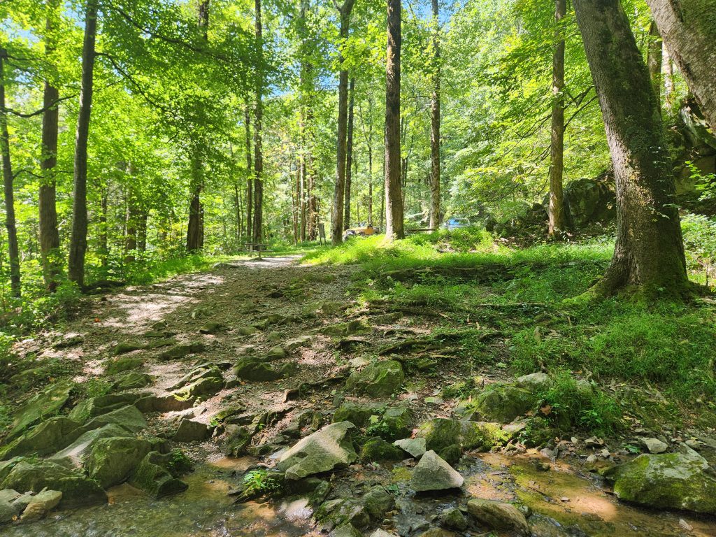
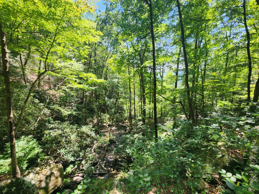
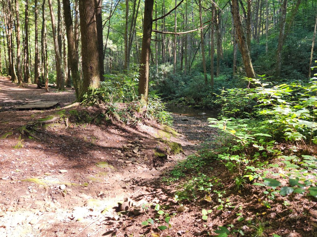
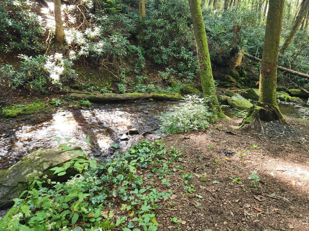
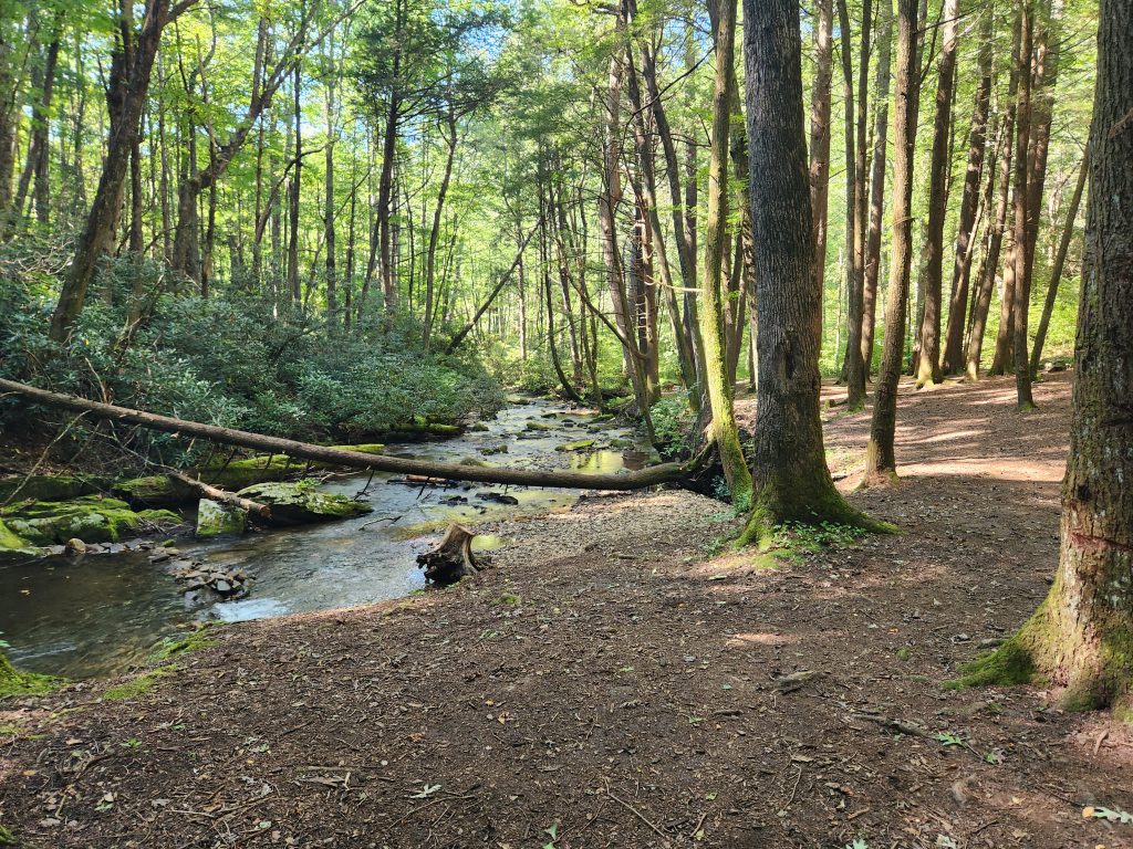
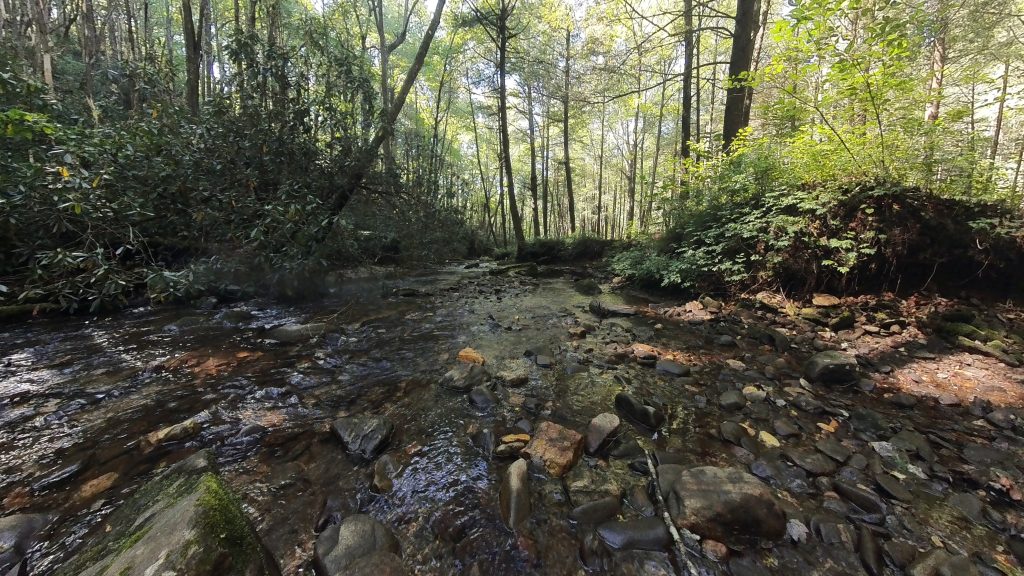
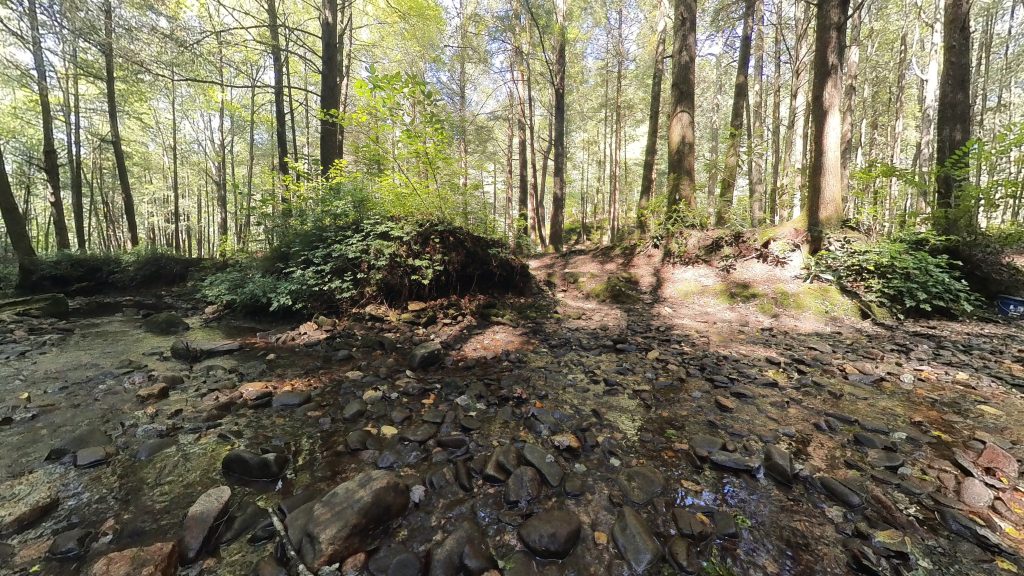
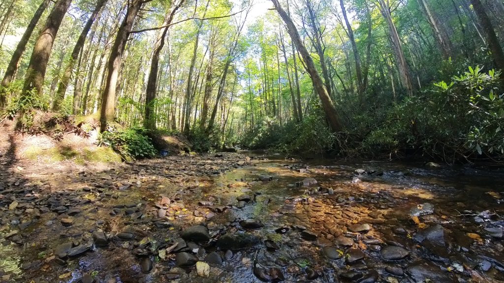
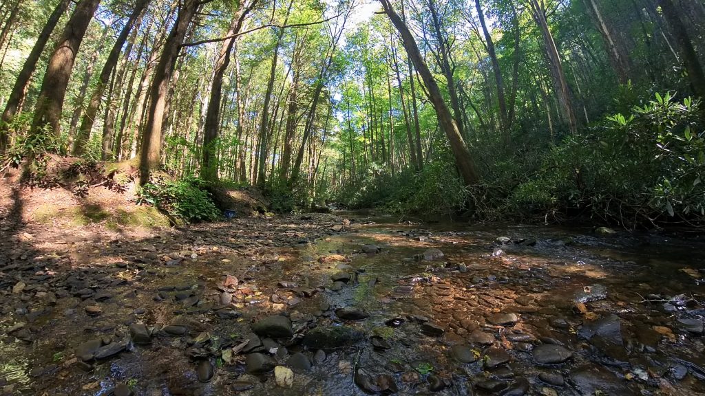
HO-LY-CRAP! I’m so glad I made this a pit-stop! It was sort of on my way to Tray Mountain (read further down) and I was on the fence about going, seeing as I was already running a bit late. This waterfall was AMAZING!!! It may be small, but any falls that I can set my camera(s) right in the middle of, is, in my opinion, a perfect waterfall! On the way up the F.S. Road this creek runs alongside for some ways, and I saw a couple of fly fishermen out in the creek.
Once I got to the waterfall, it was amazing!
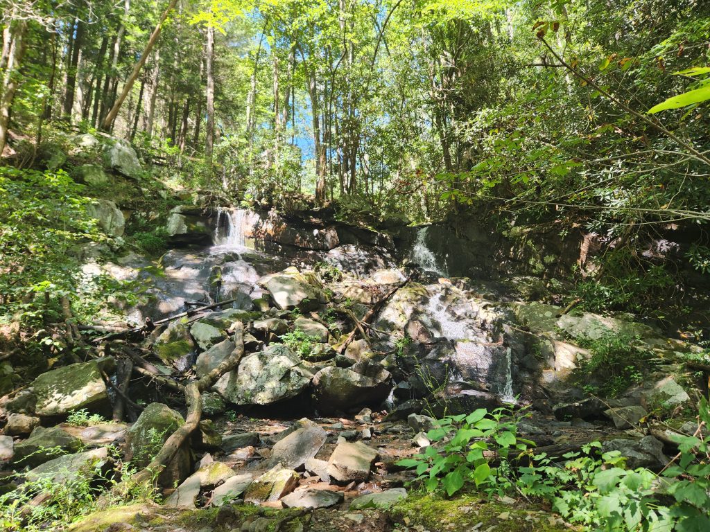
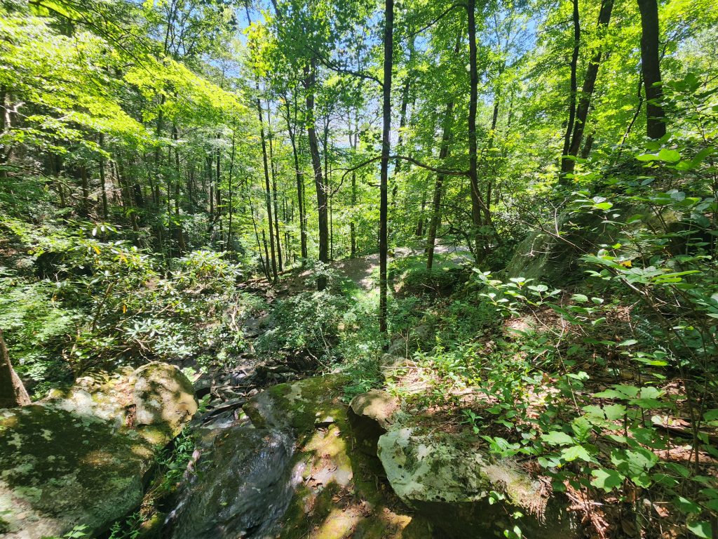
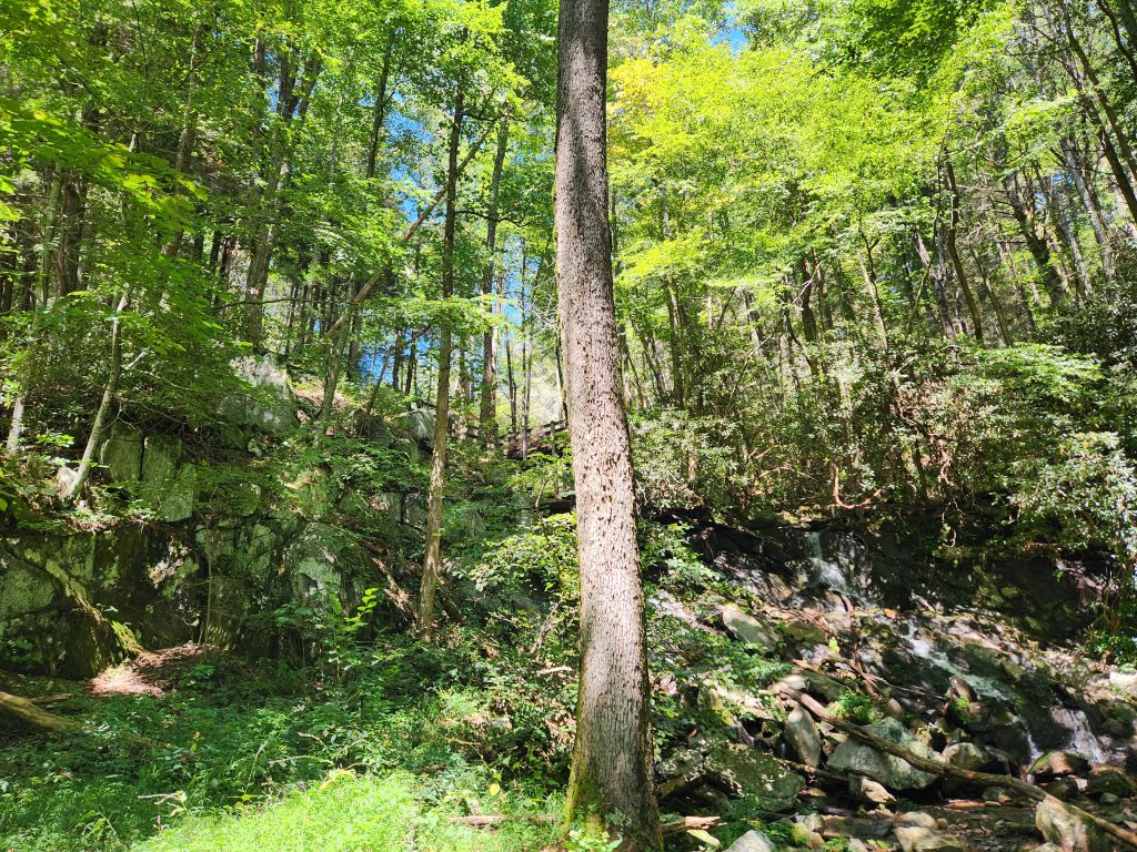
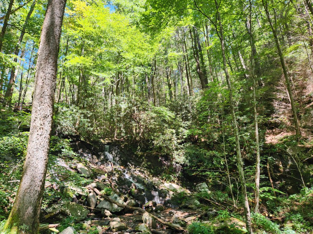
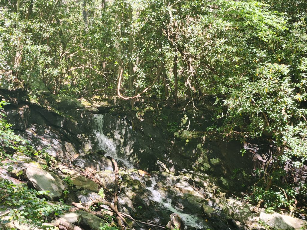
I managed to make one video of this fall, which was my sole intent for visiting. *Also located in my relaxation section. (Click the mute/unmute button for audio)
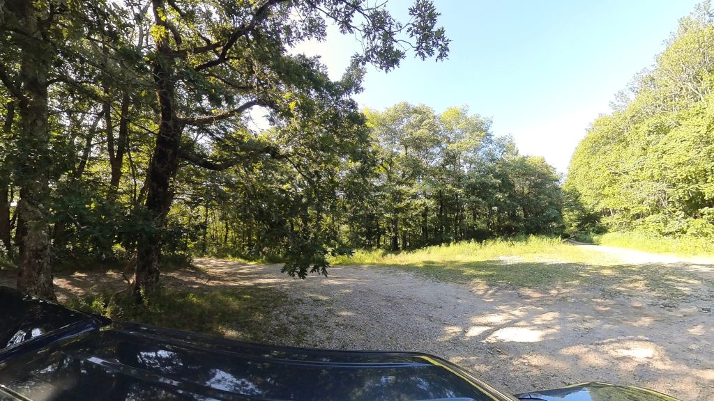
Location: Tray Mountain Wilderness
Address: None, it’s a F.S. Road! Use the coordinates.
Telephone: N/A
Lat/Long: 34.831496, -83.677064
Website: https://exploregeorgia.org/helen/outdoors-nature/hiking/tray-mountain-wilderness-area-cnf
Date: September 7th 2025
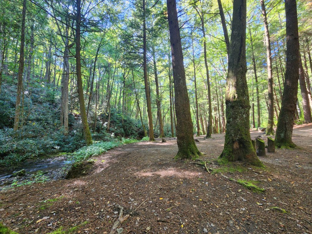
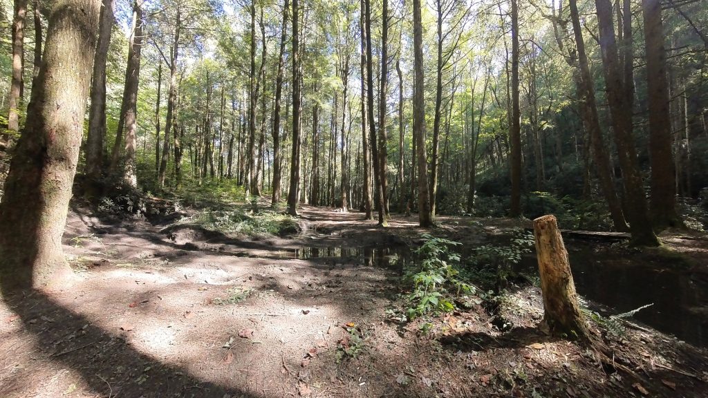
My entire purpose for making this trek is that I wanted to grab the exact location of a particular campsite that’s right on the mountain I’m currently working on completing. The Appalachian Trail on Tray Mountain from Unicoi to Dicks Creek Gap. And if you’re a serious camper, don’t shoot me, because I know people try to hide this camp site. I know, because I’ve been googling for the exact location ever since I got back from my section hike in 2024. This is also a continuation of my 2024 AT Adventure, you can view that trek here!
Along the way, I wanted to try and mark the coordinates of the other sites as well. They were smaller sites that could fit anywhere from 1 to 3 vehicles and not a lot of space for camping. Ignore the dropped points on the Garmin Explore screenshot below. Those are not of these sites! I accidentally left my Garmin GPSMAP in the bed of my truck and I guess all the bouncing around kept adding points! *It’s literally 1 button to add points and really annoying because I add them accidentally all the time. These sites are north of the Tray Mountain label on the map.
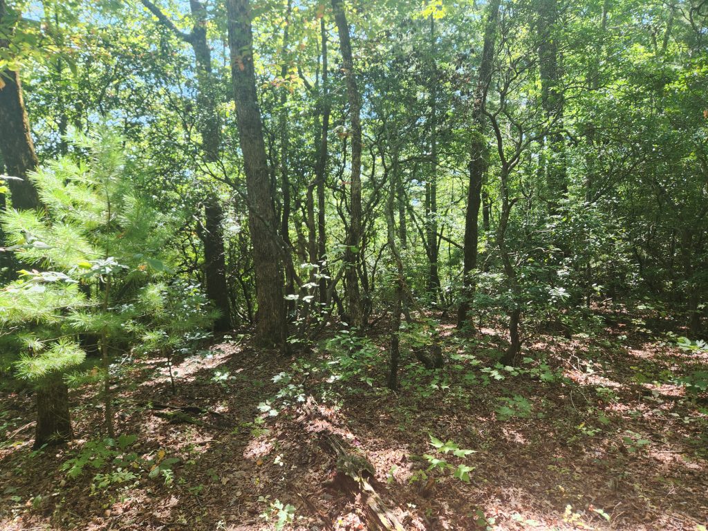
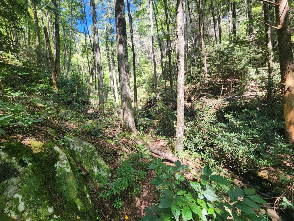
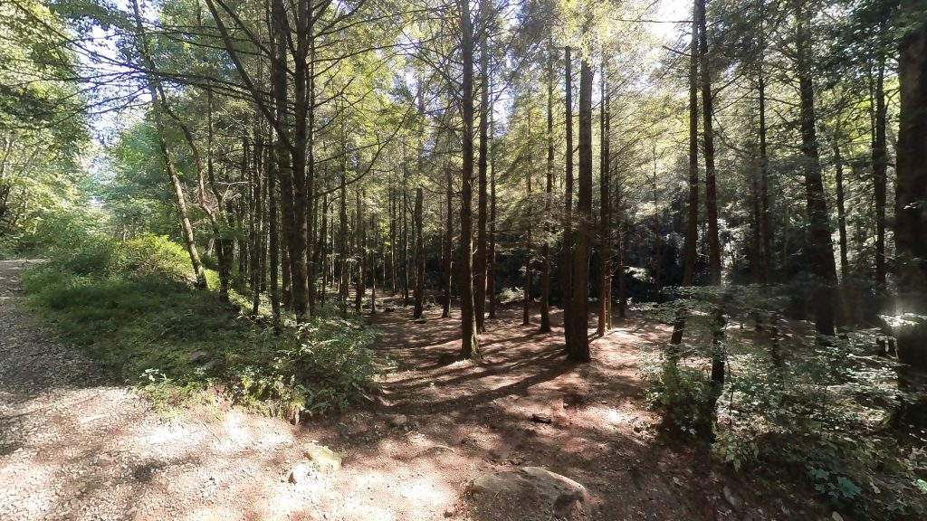
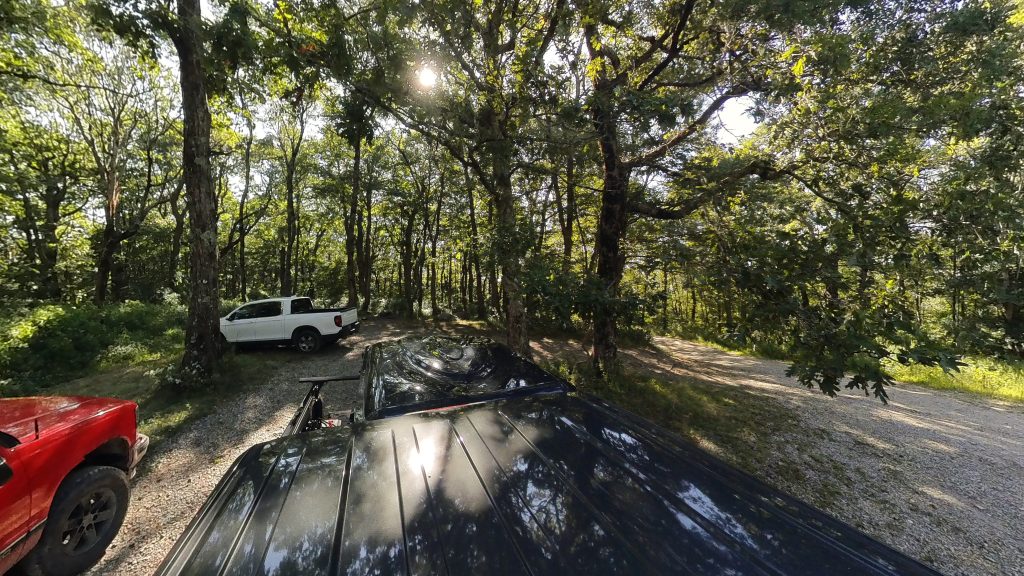
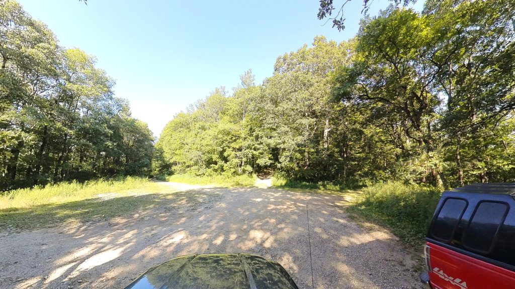
I knew what I was getting into, however what I failed to take into account was current road conditions. The path I had to take was an 8+ mile, side-of-the-mountain forest service road that’s barely large enough to fit a full-size truck most of the way. I did record the entire drive up and down the mountain, it was insane, and as soon as I get to that I’ll add some screen captures or a video or two from it.
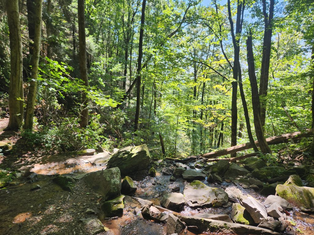
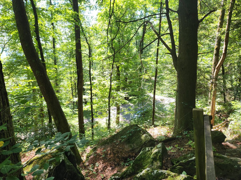
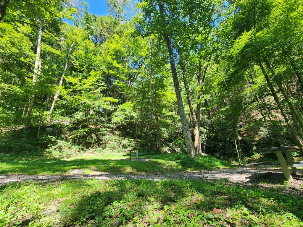
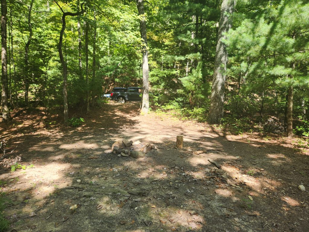
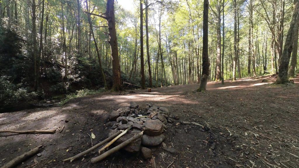
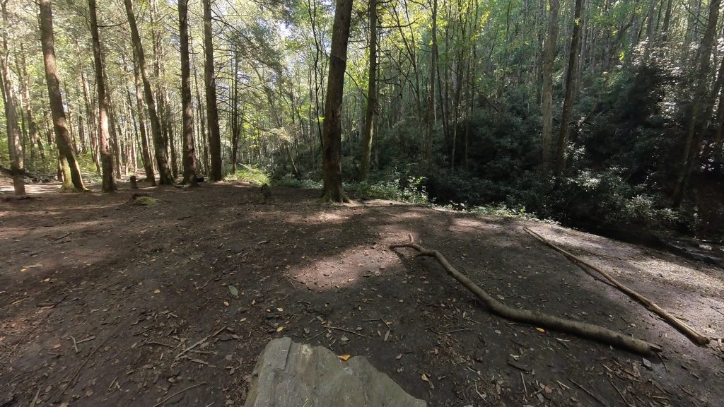
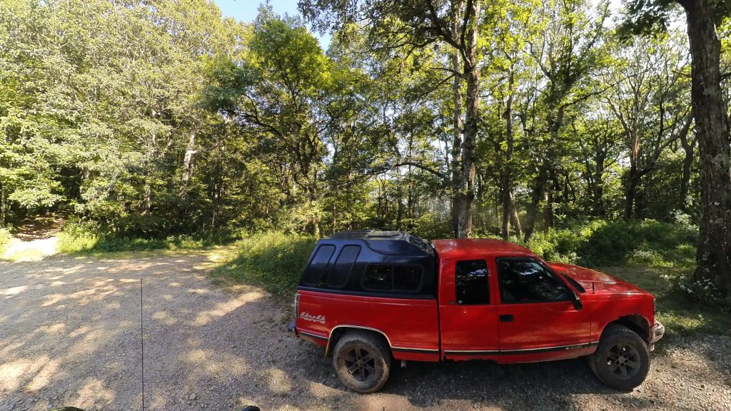
I left my GPS recording my route all the way from Barnes creek falls, dropping a point every 0.01 of a mile for accuracy, there were holes and divots in the Forest road the size of an adult tree trunk and rocks and boulders the size of a Galapagos turtle! I’m giving everyone fair warning, this path is not for the lighthearted! Most of the forest road was a 90° drop on one side and a 90° cliff face on the other. But once I got to the campsite, I was amazed at how big it actually is. There’s enough room there to park like 10-15 trucks! Not to mention (and I didn’t know this previously) Corbin creek (I believe that’s the name of this one, there’s so many) runs right next to the campsite! I have GOT to come back and camp here!!!
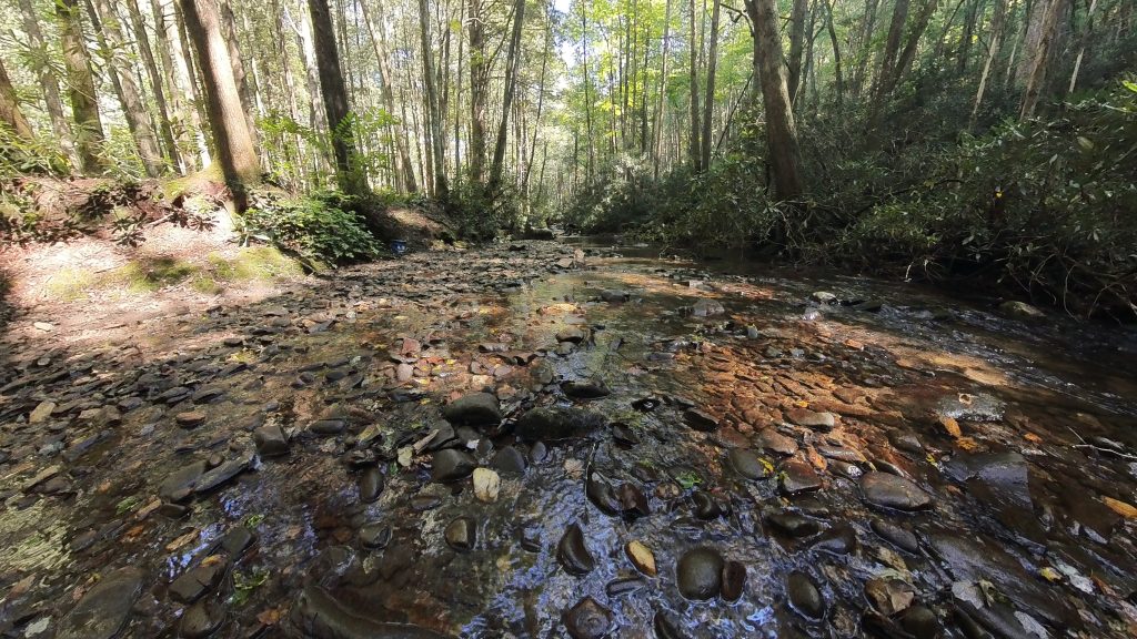
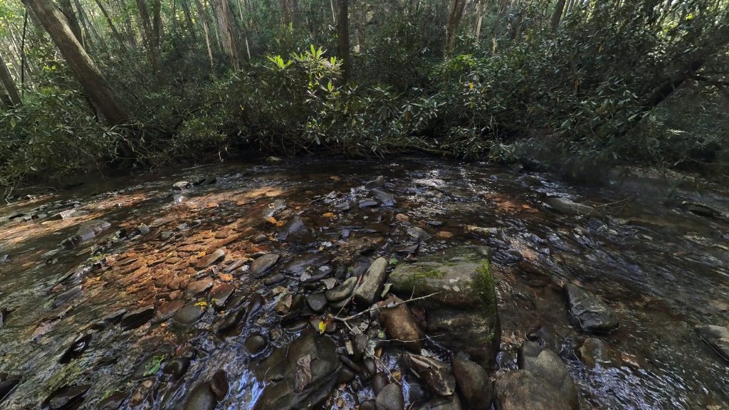
I managed to make one video of this creek. *It’s also located under my relaxation section for easier access. (Click the mute/unmute button for audio)
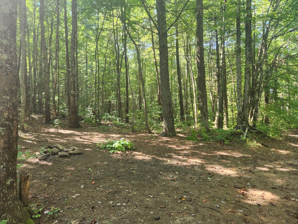
I did also make a quick pit stop at Tray Gap, this was the location Bandit, my GA trail guide came to rescue my injured ass! 🤣 I can’t thank him enough for being there when I needed him! Tray Mountain shelter (and an absolutely gorgeous view) are quite literally a short hour hike up the path through the trees on the right in the last image. I would have went back up there to take a few more pics but eh, I already have those! My main background image is from that lookout, you can view that trek here!
After completing my tasks and feeling very accomplished, I started heading home. It was gonna be a long 6 hour drive. I wound up pulling in my driveway at 12:15 am Monday morning.
Happy Camping!
See you on the trail!
~T.B. Pug