A Little History
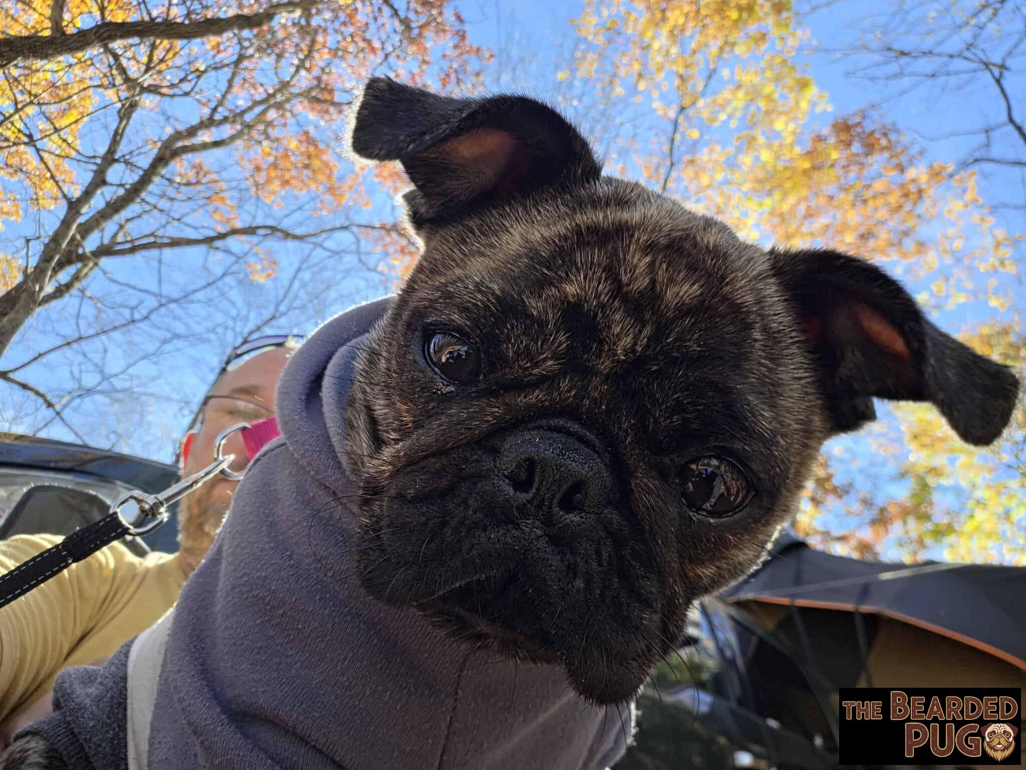
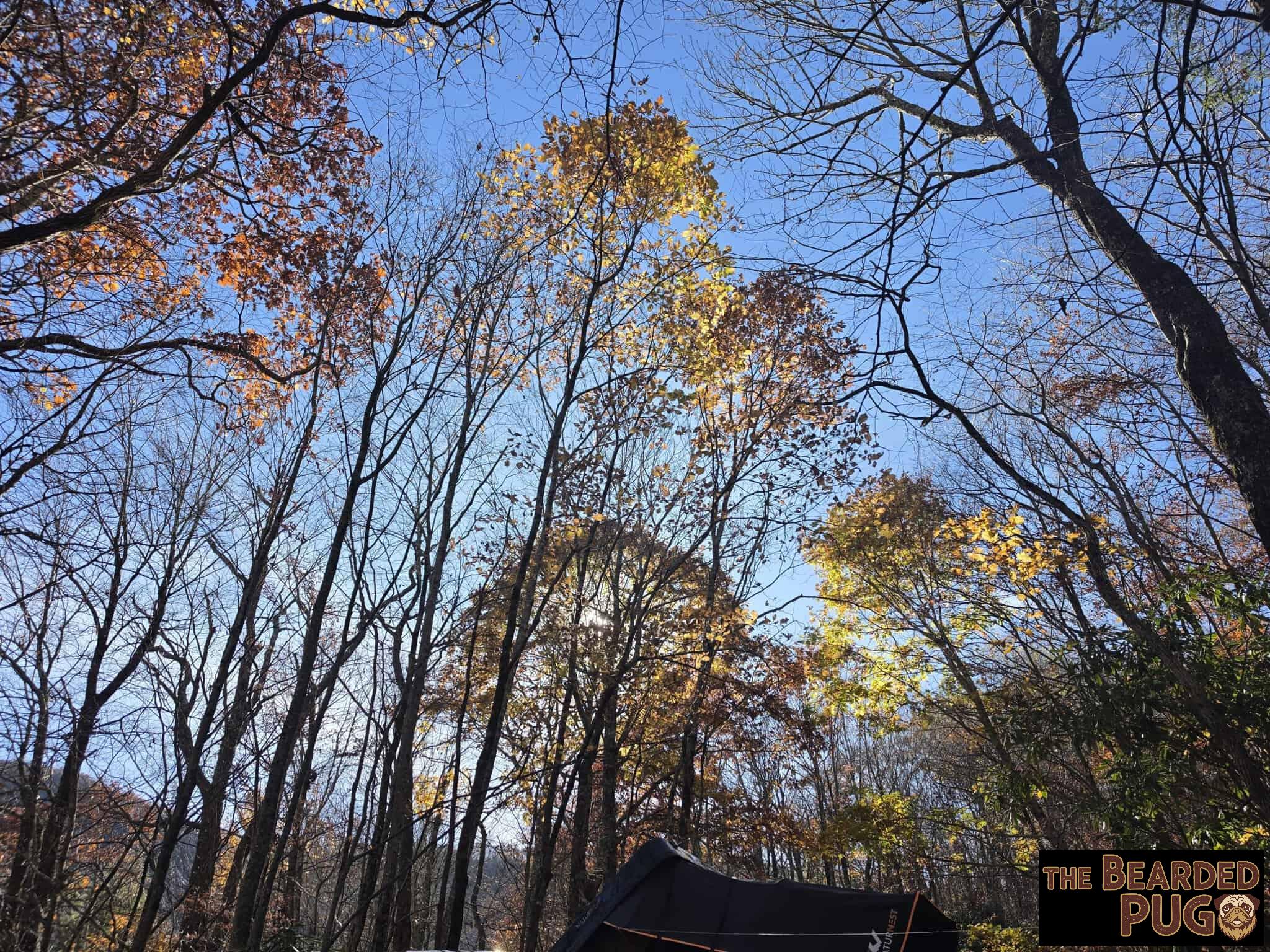
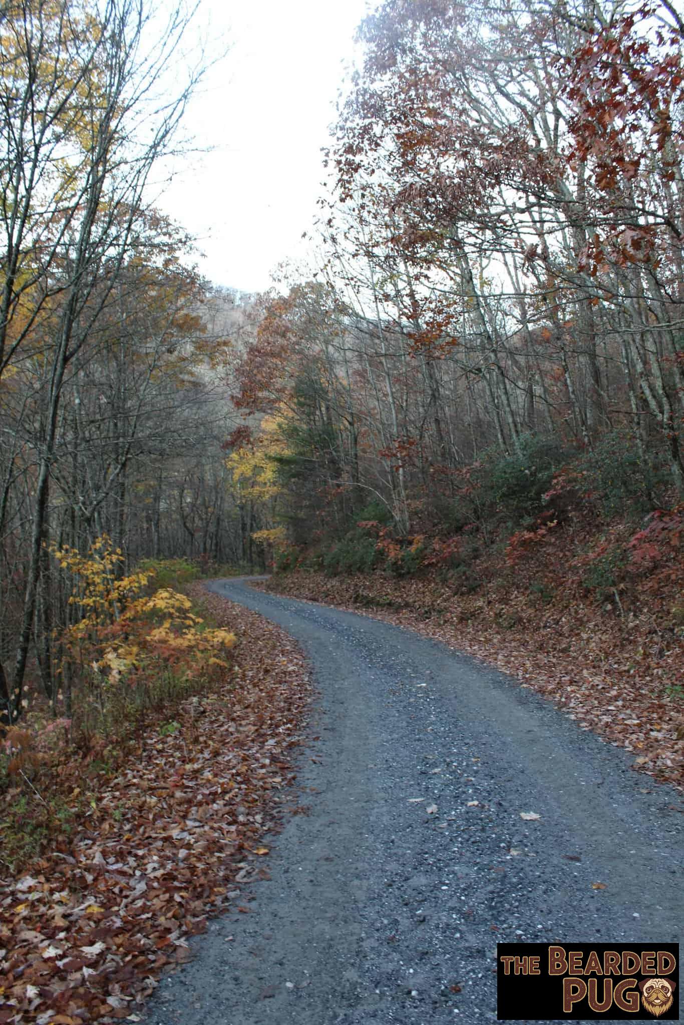
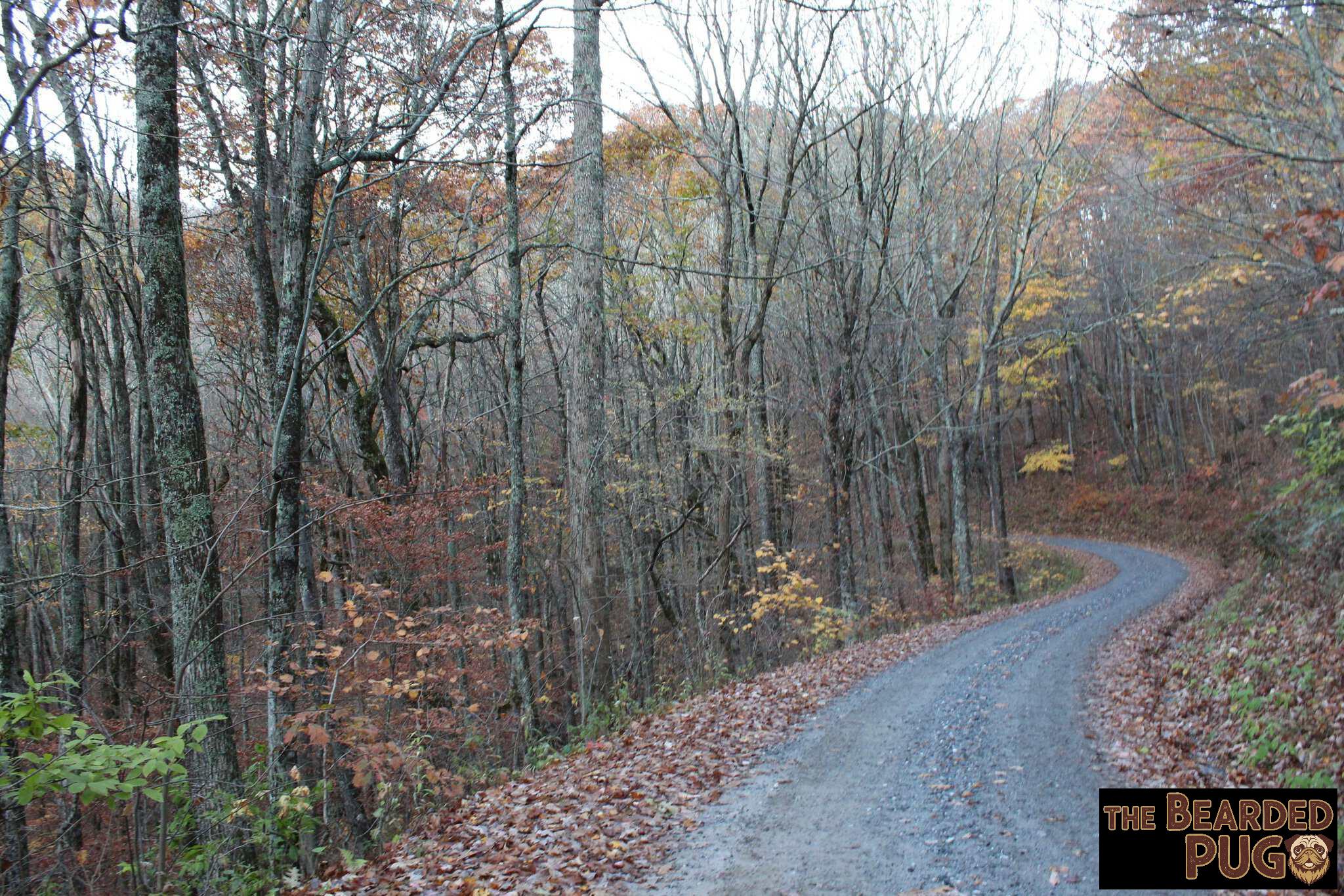
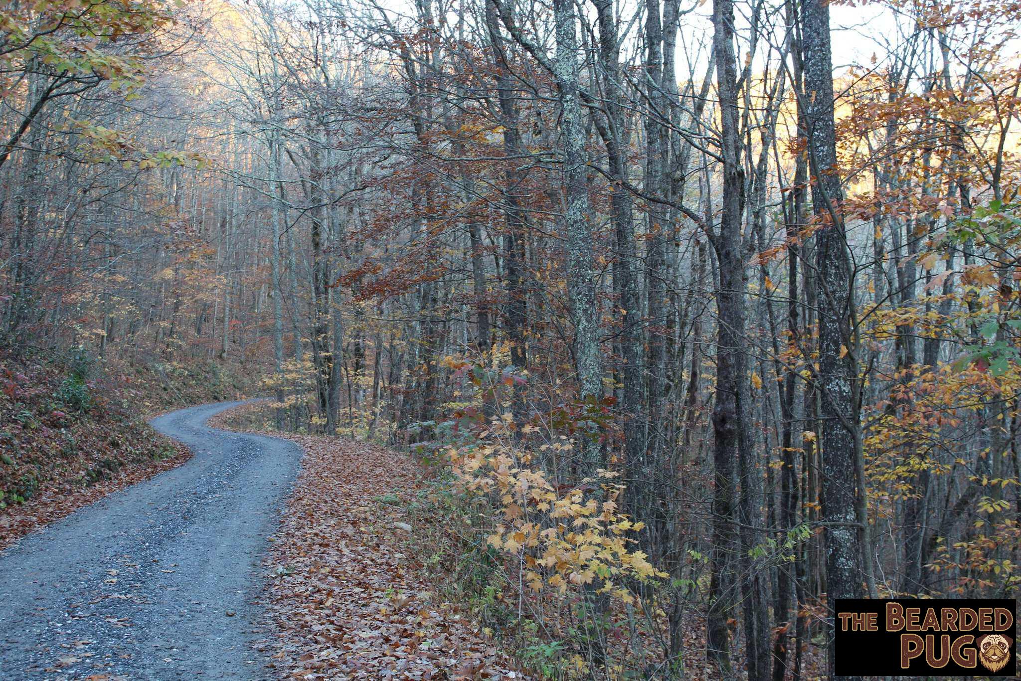
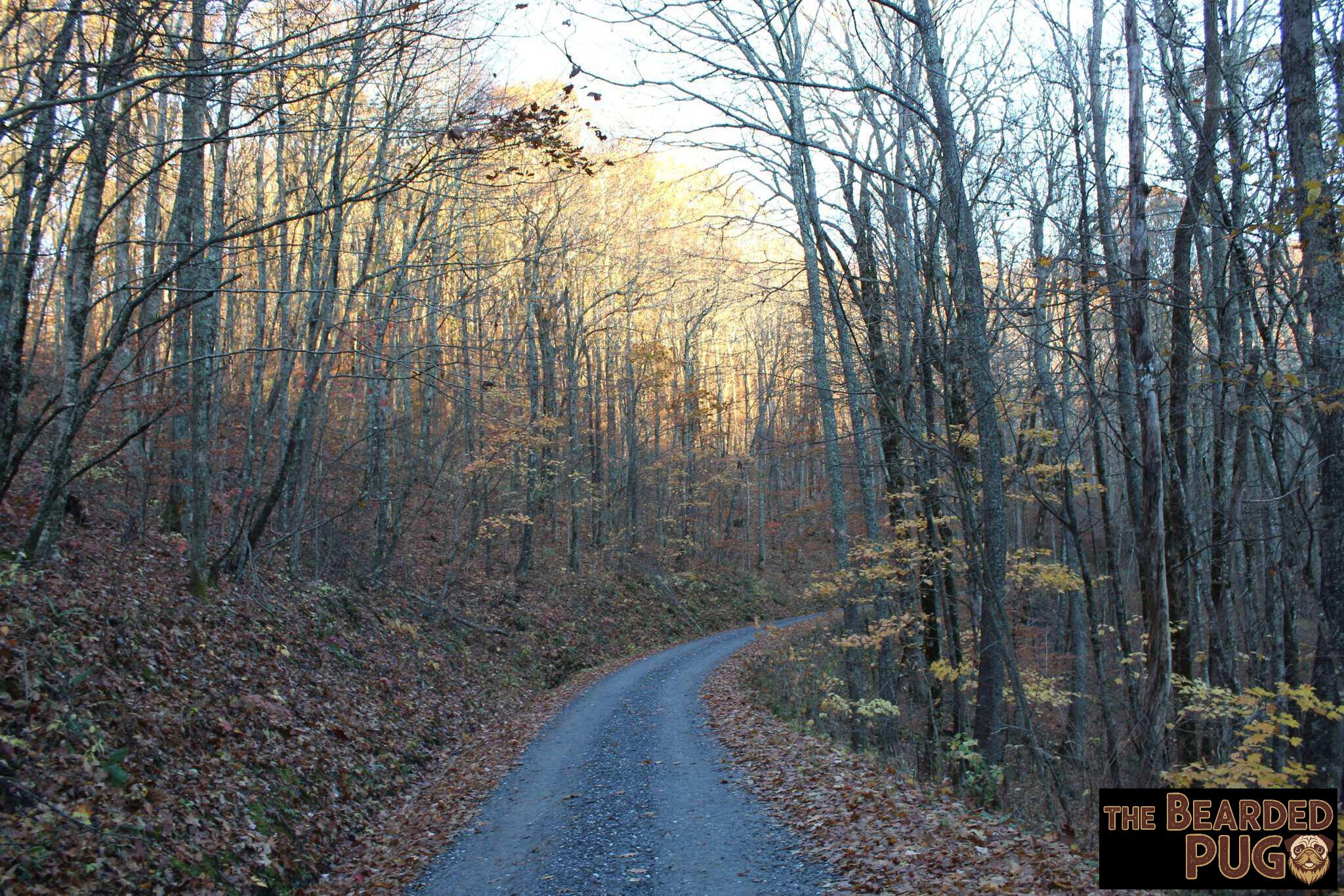
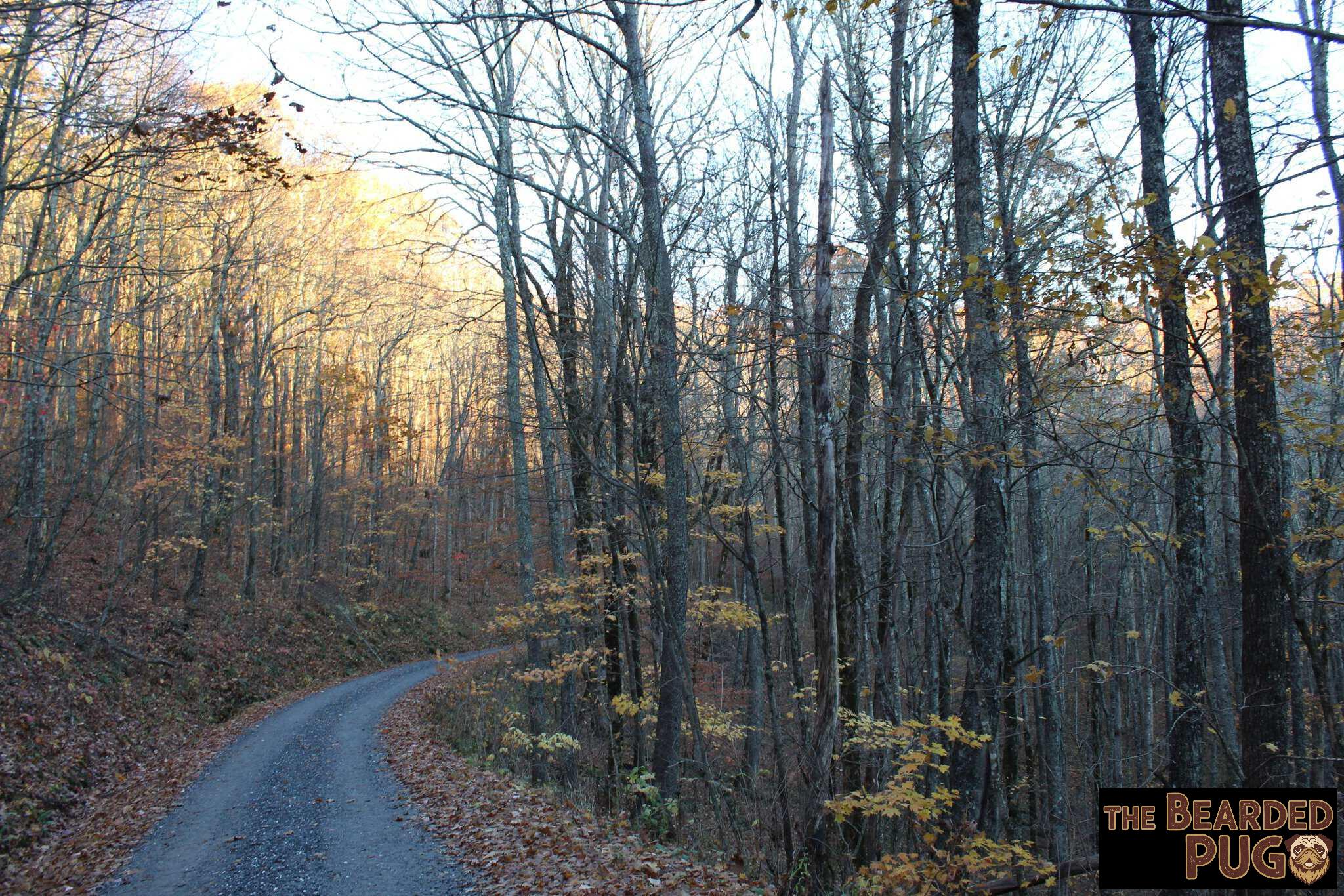
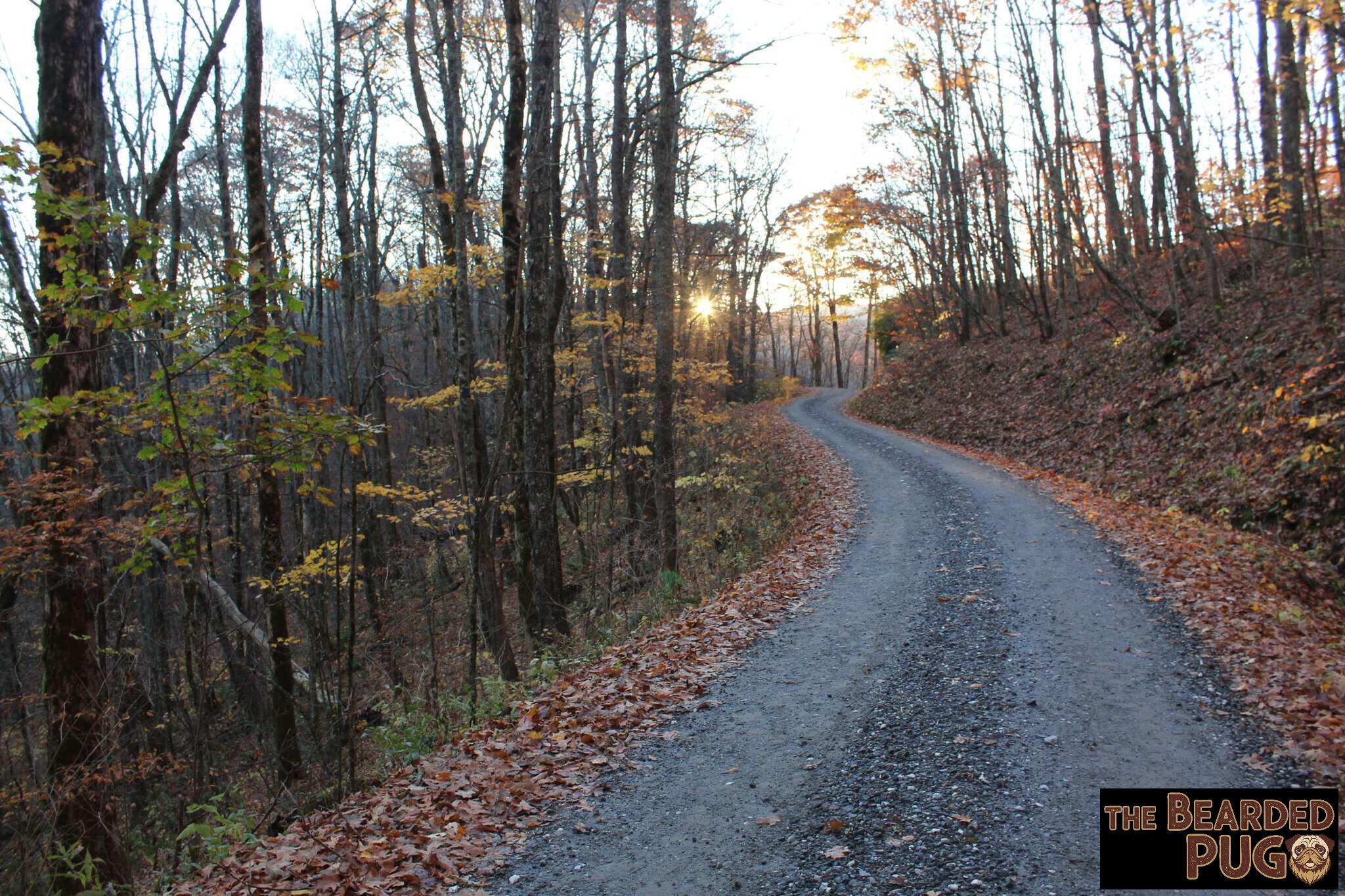
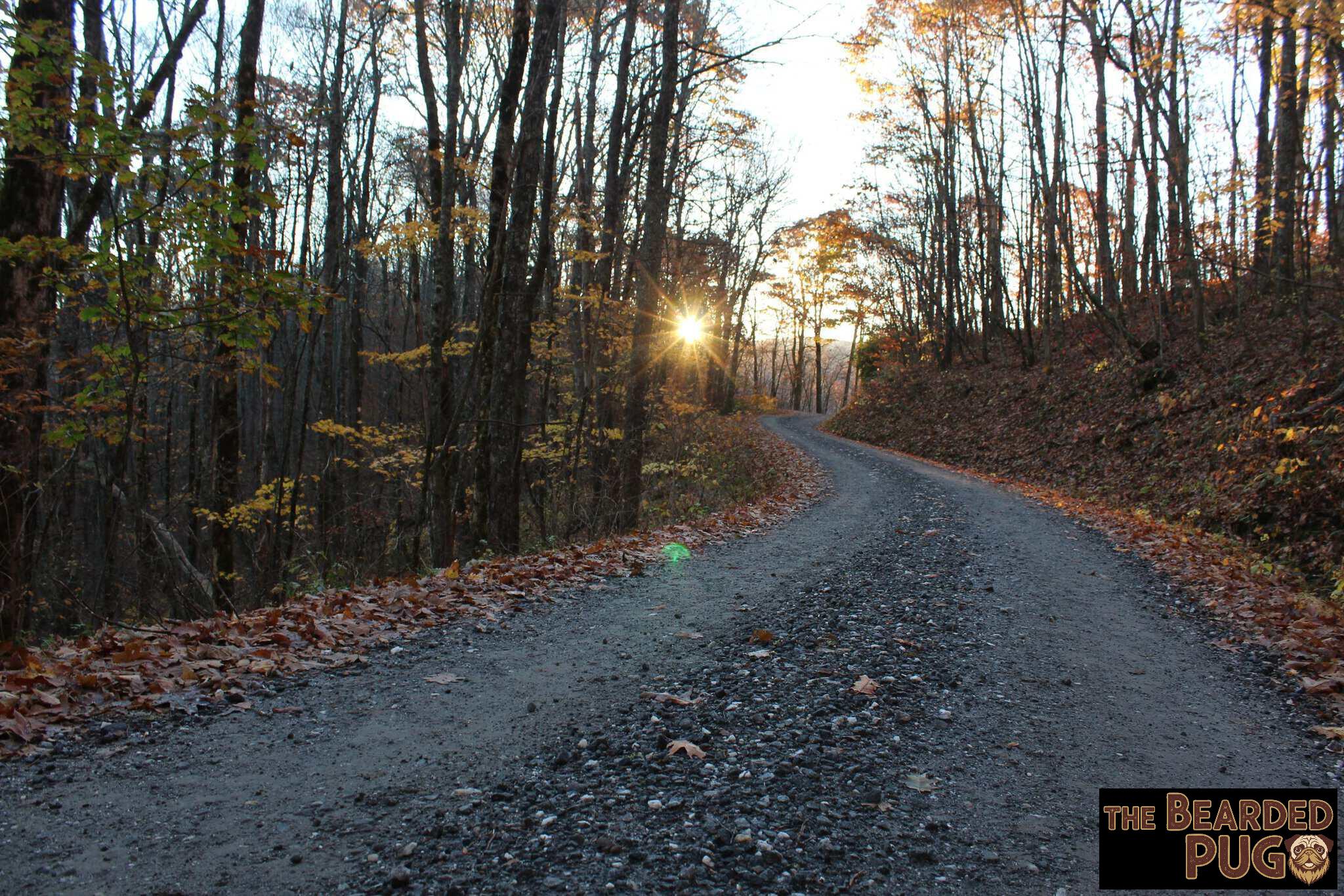
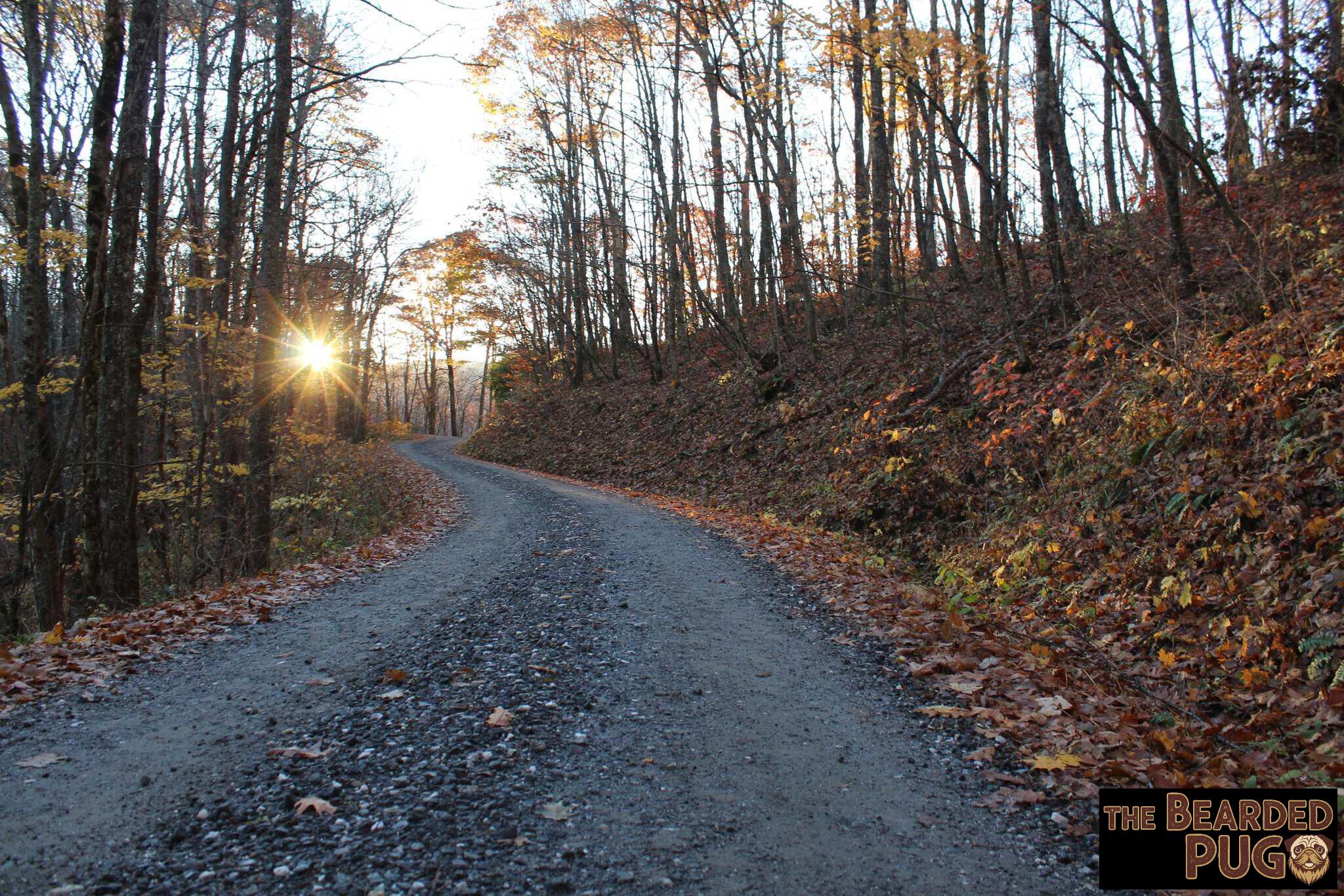
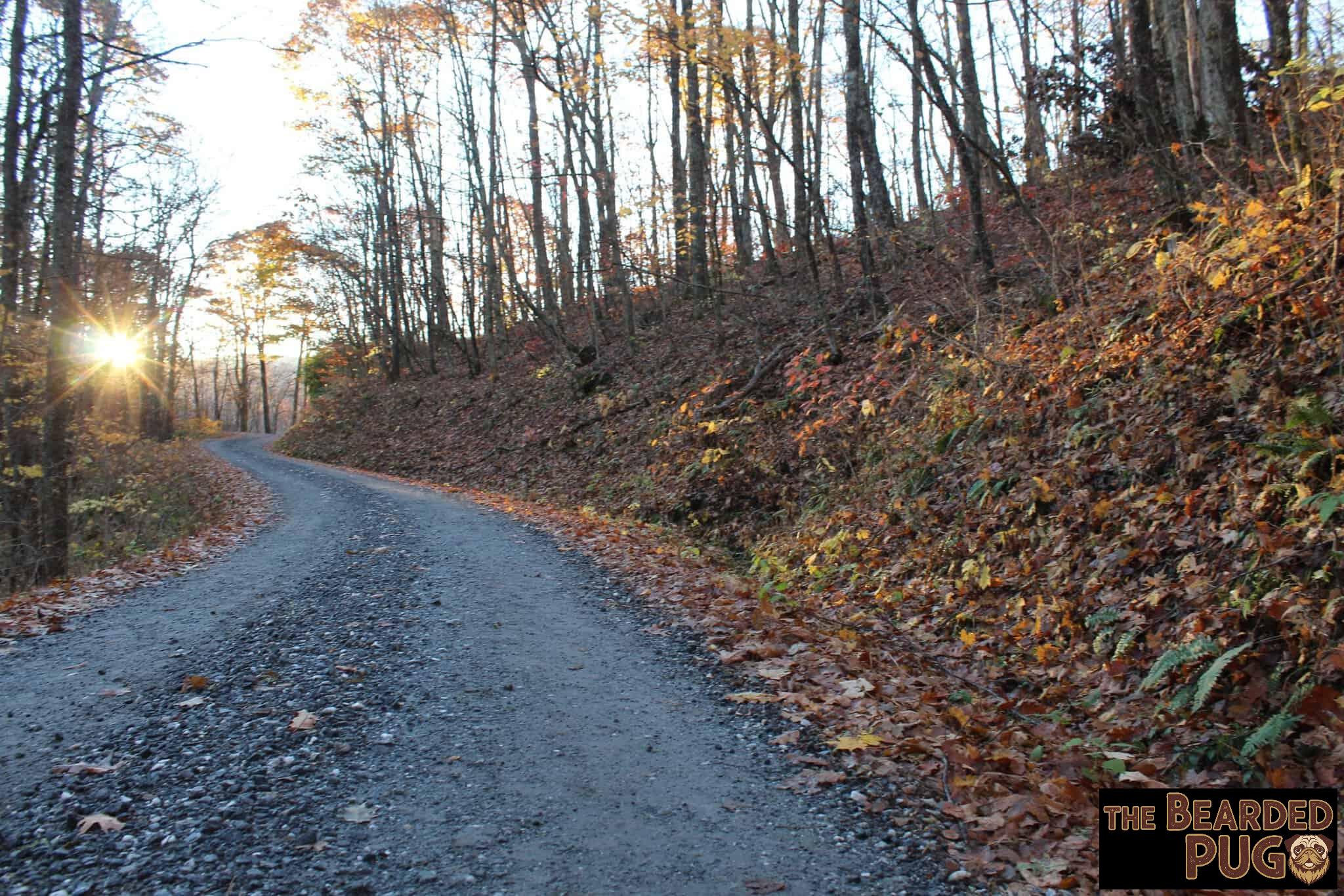
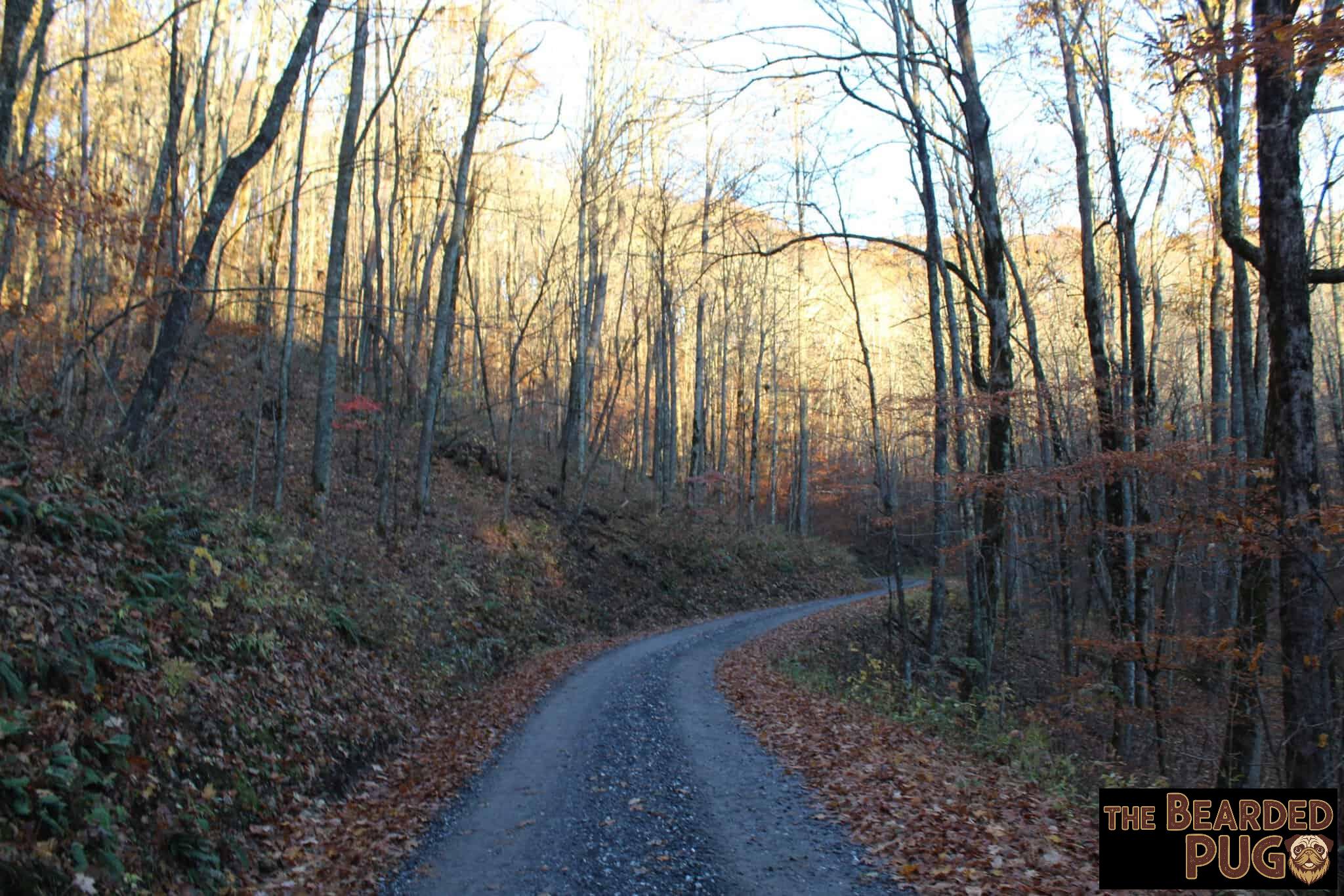
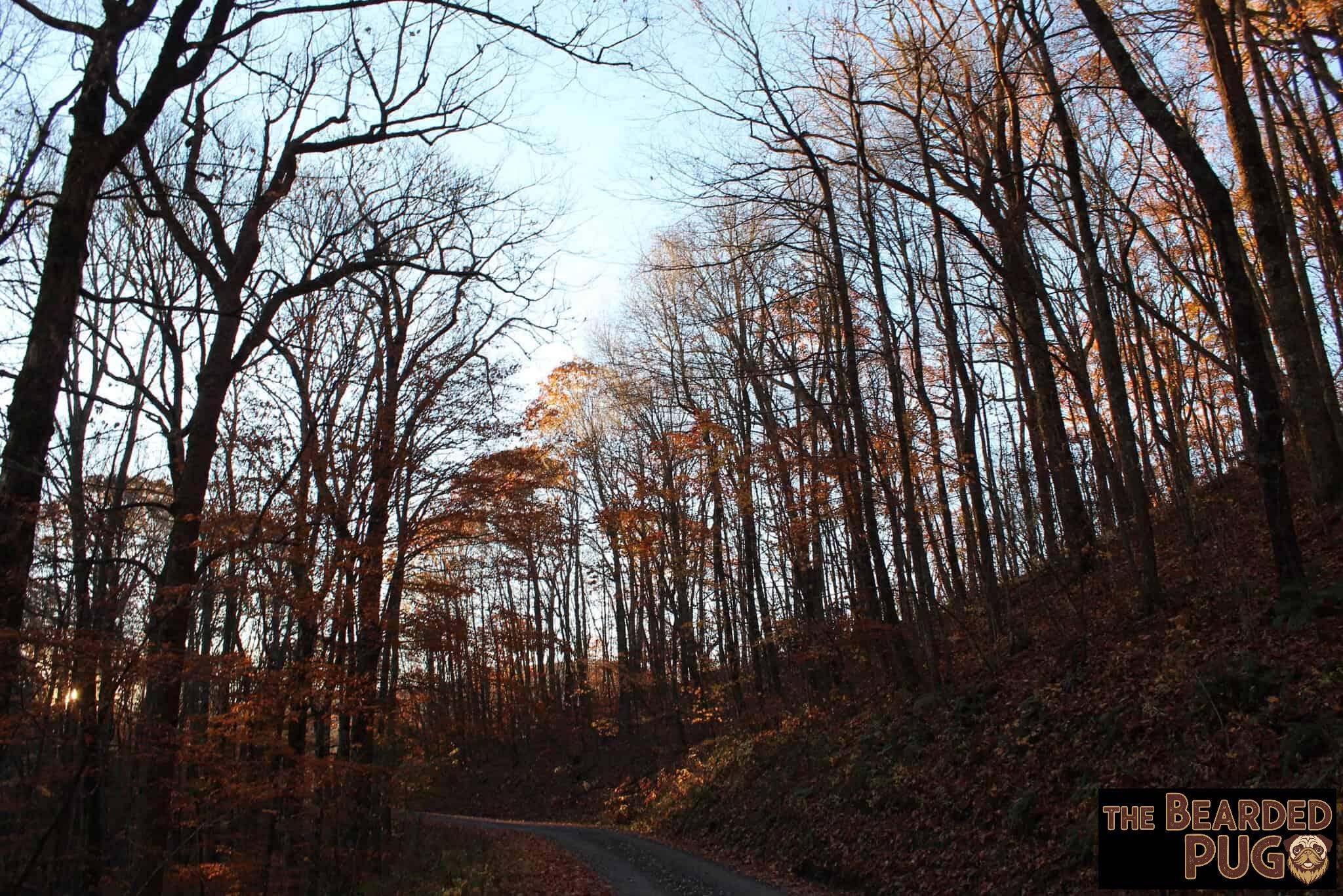
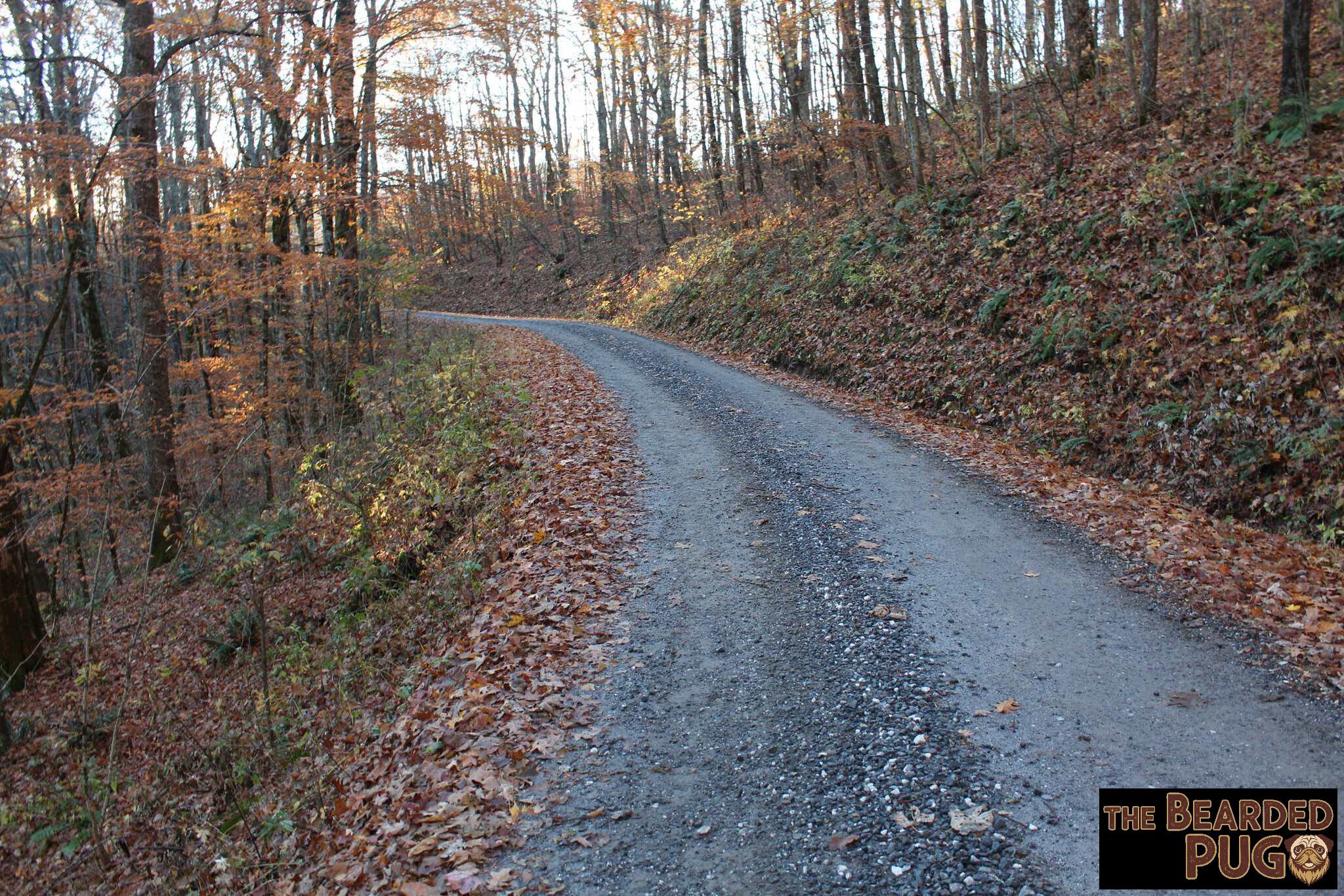
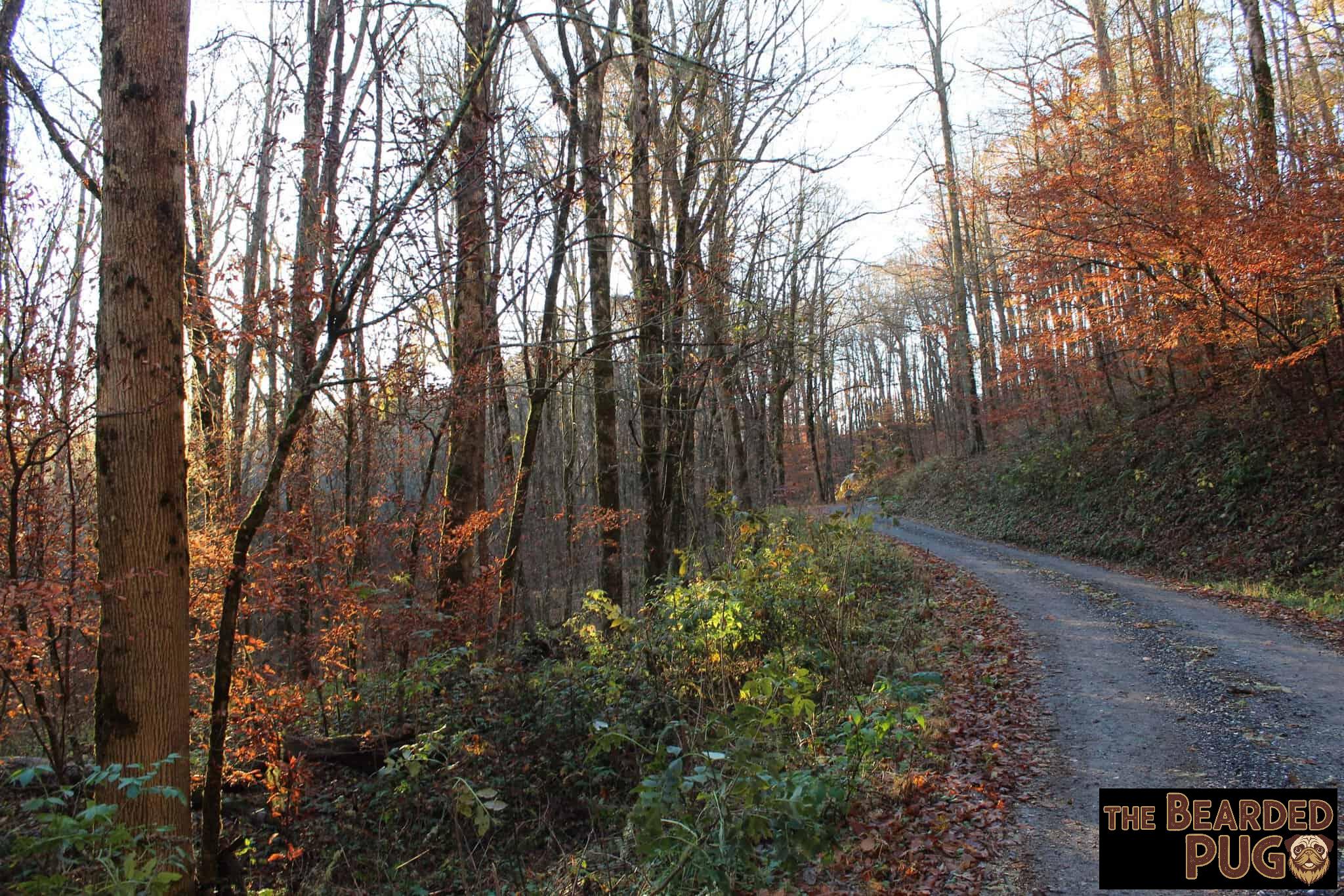
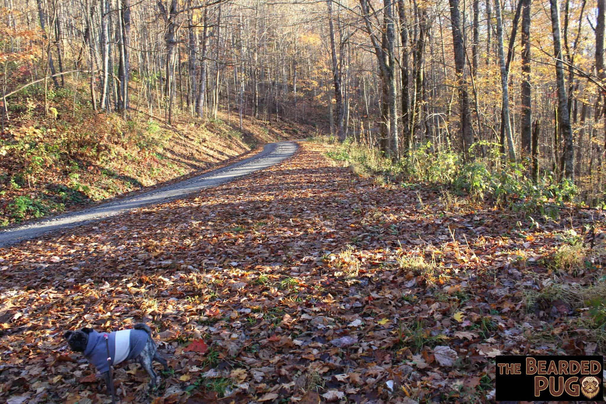
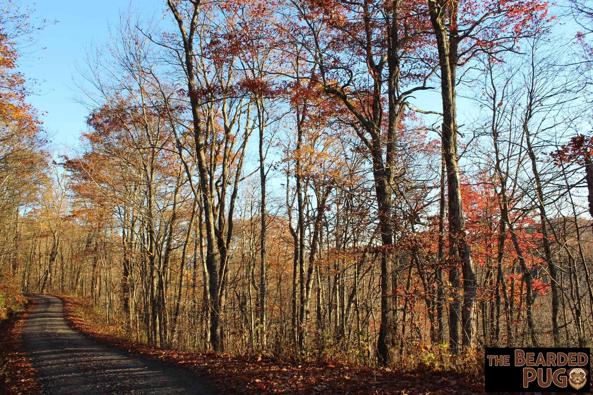
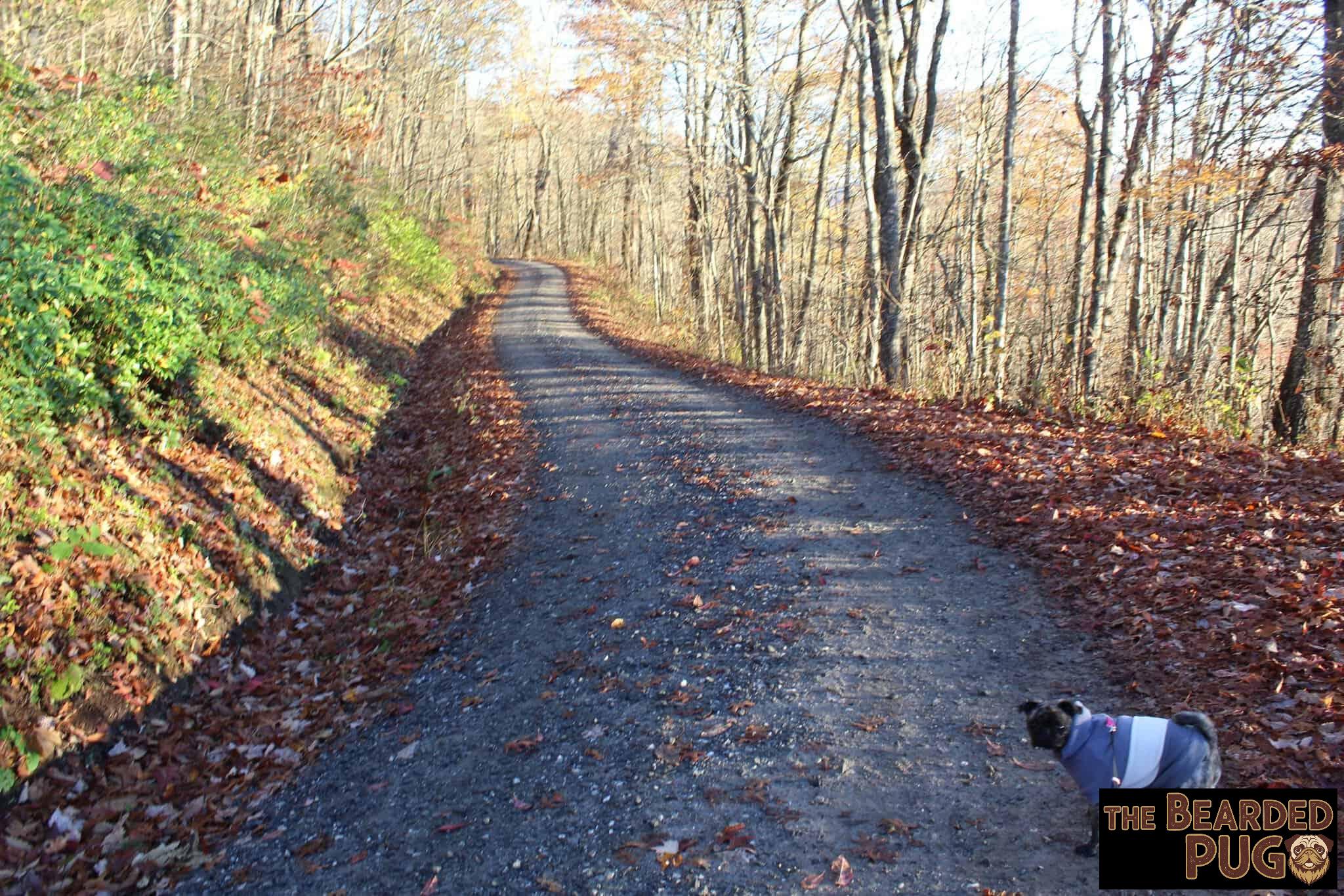
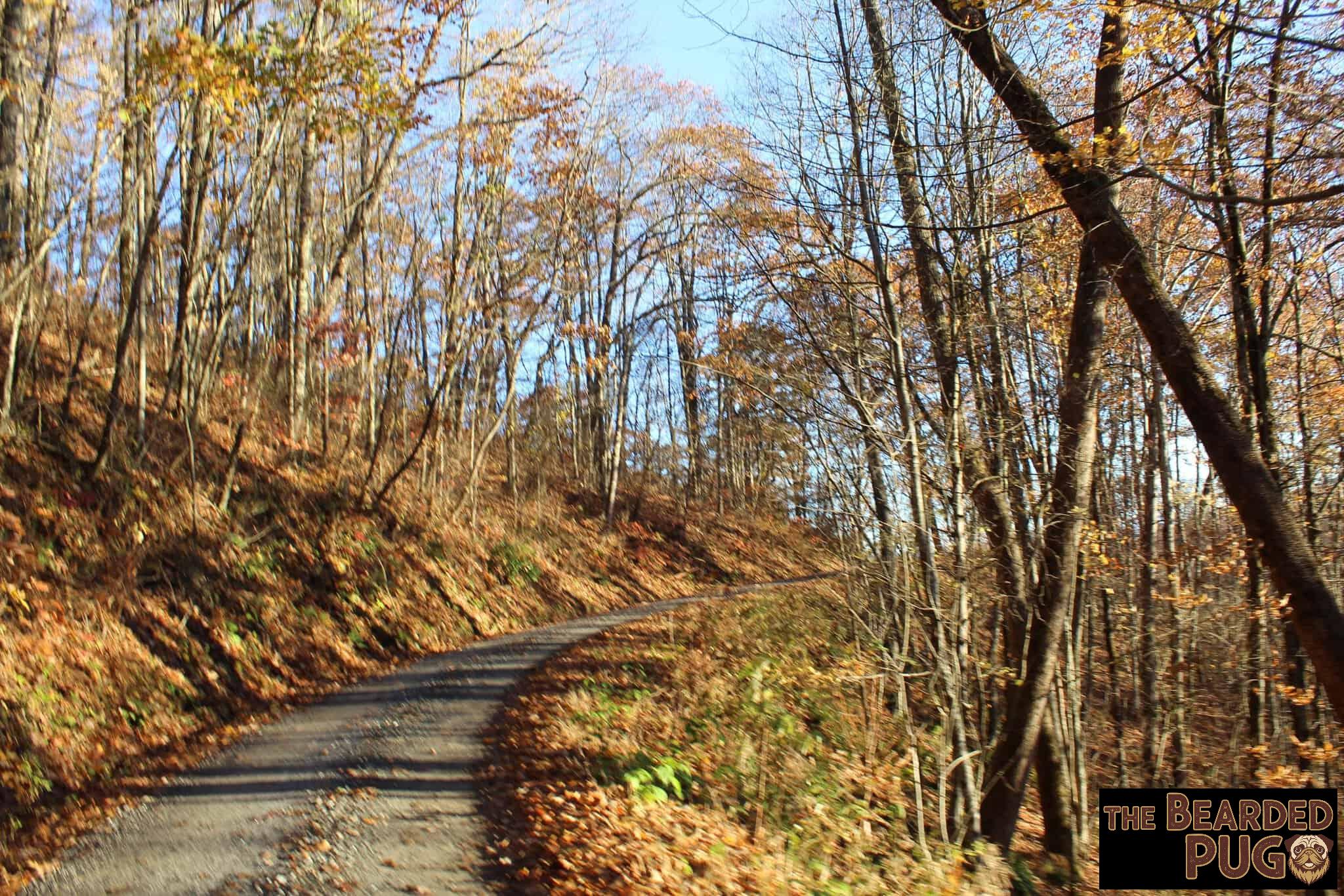
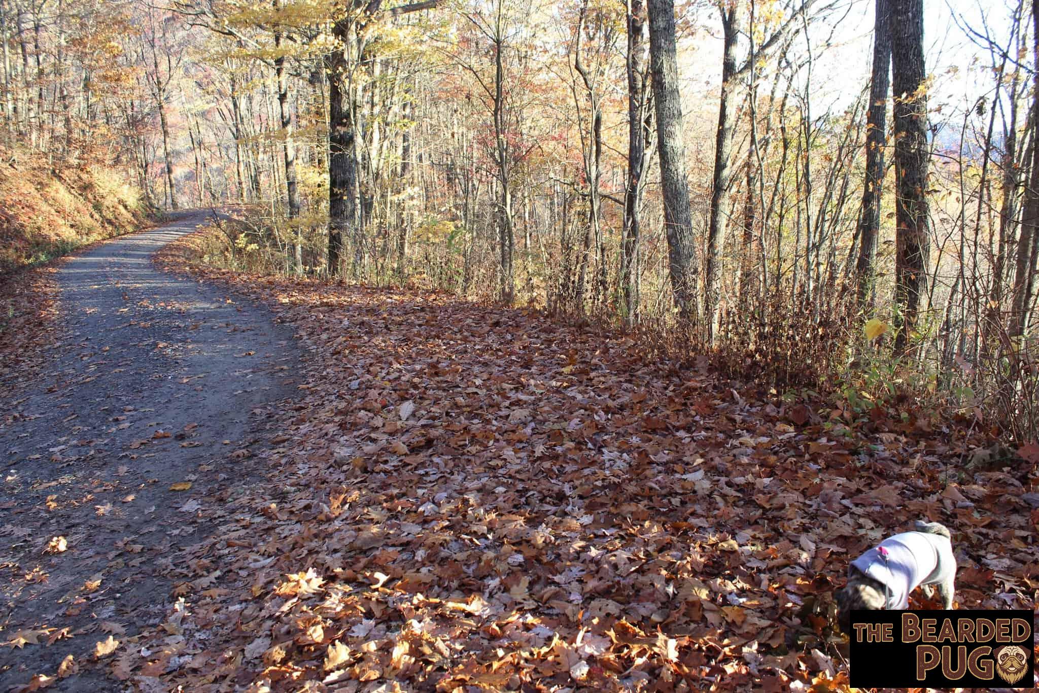
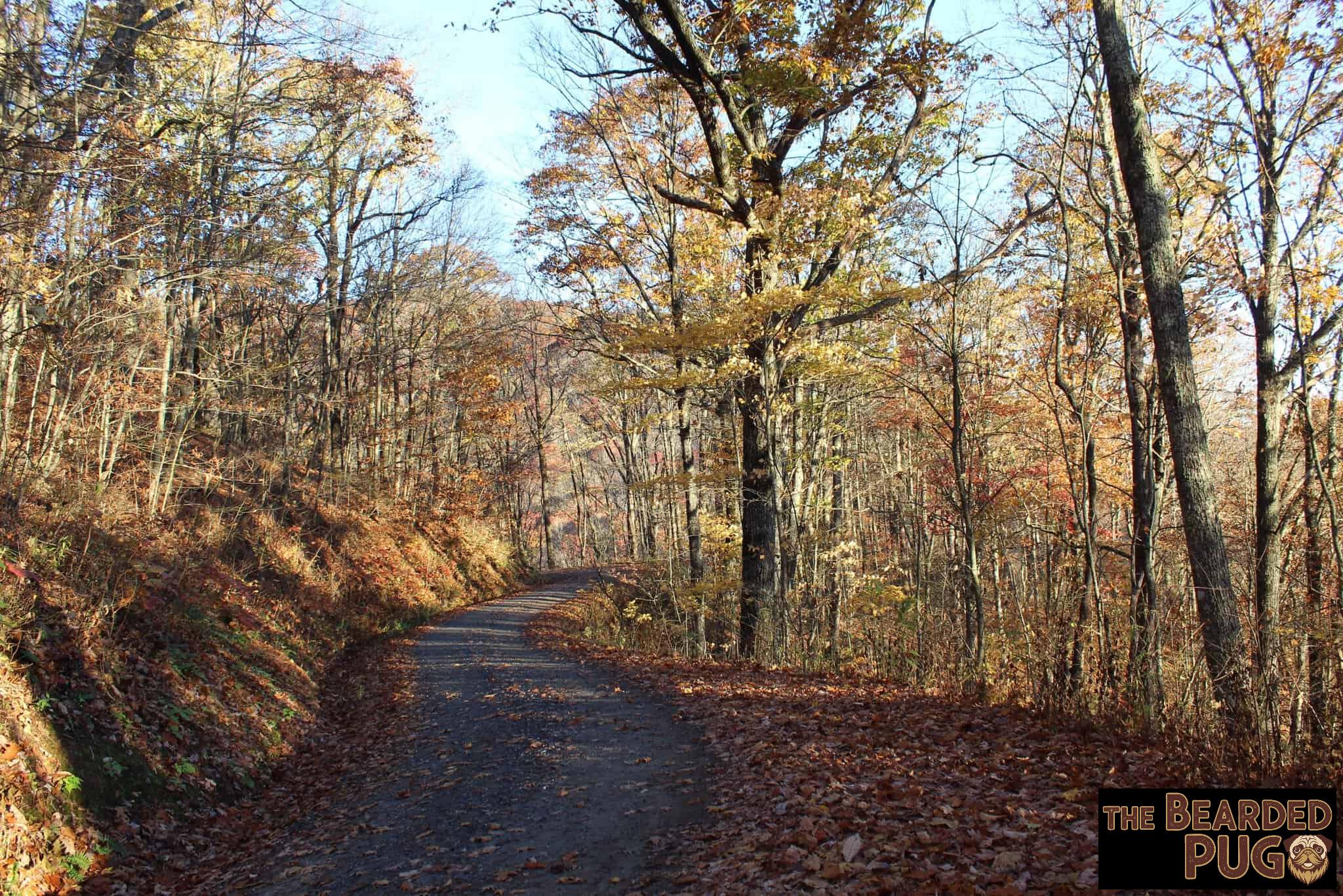
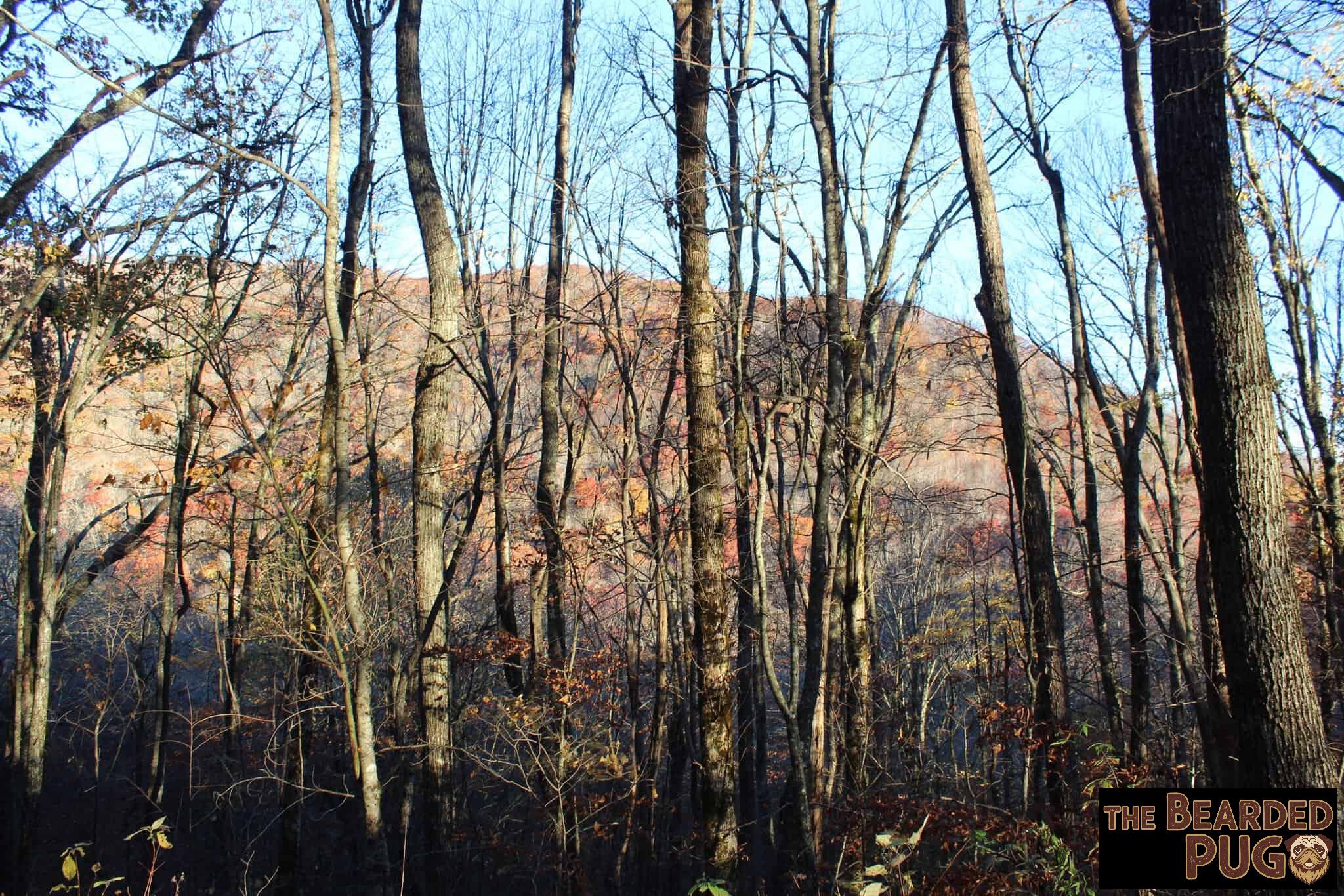
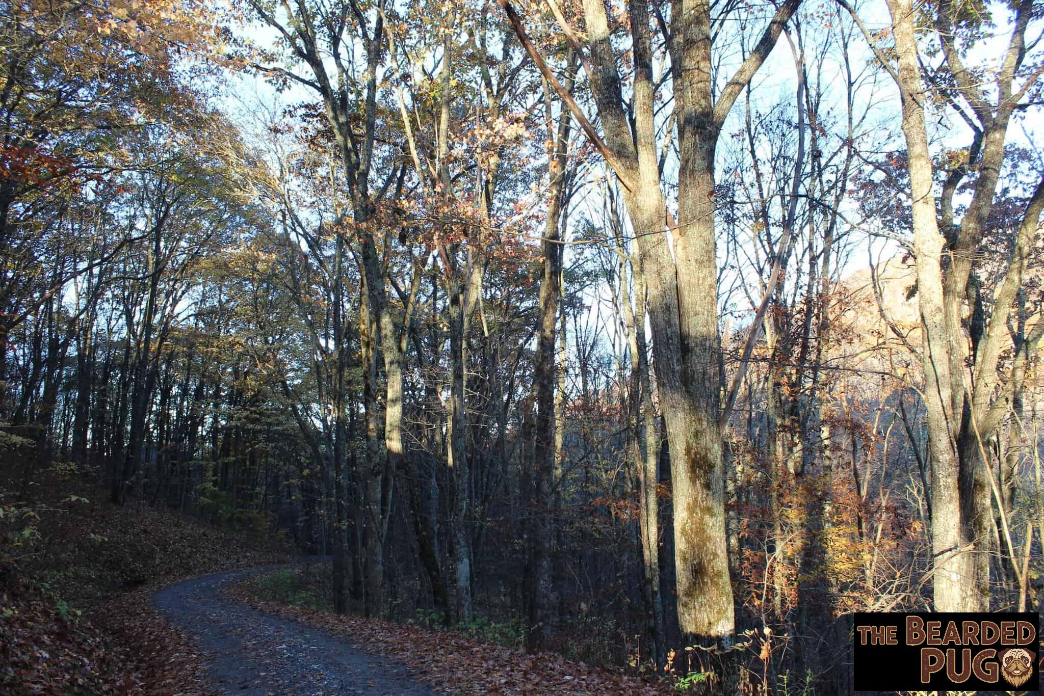
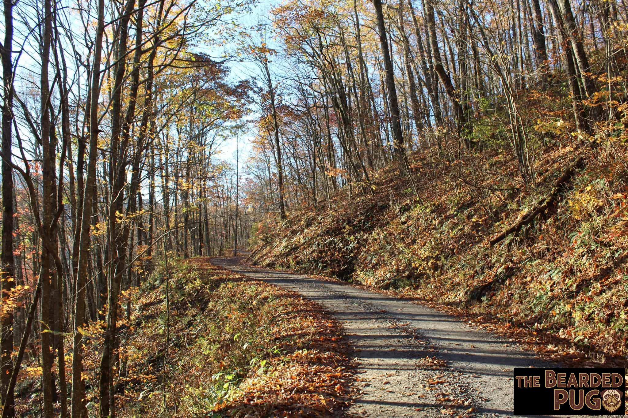
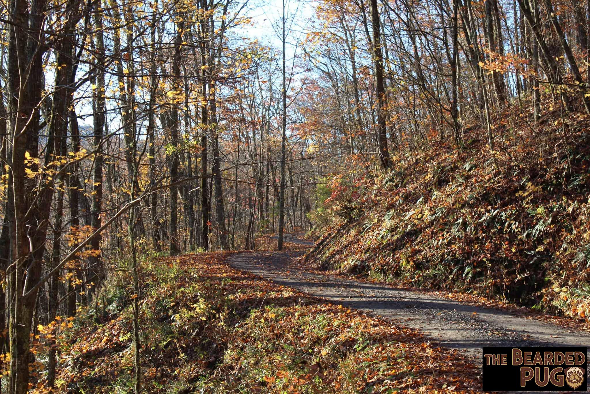
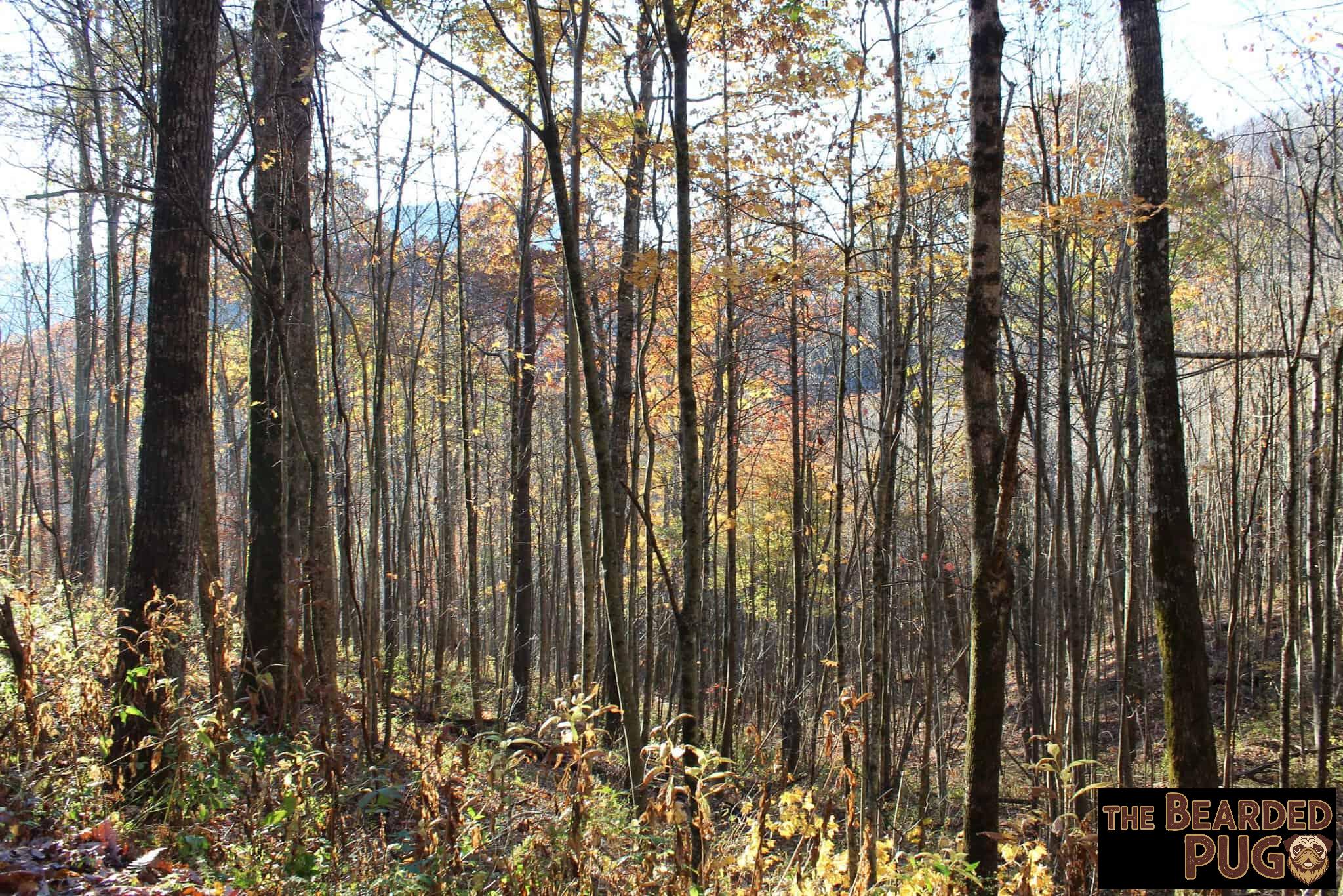
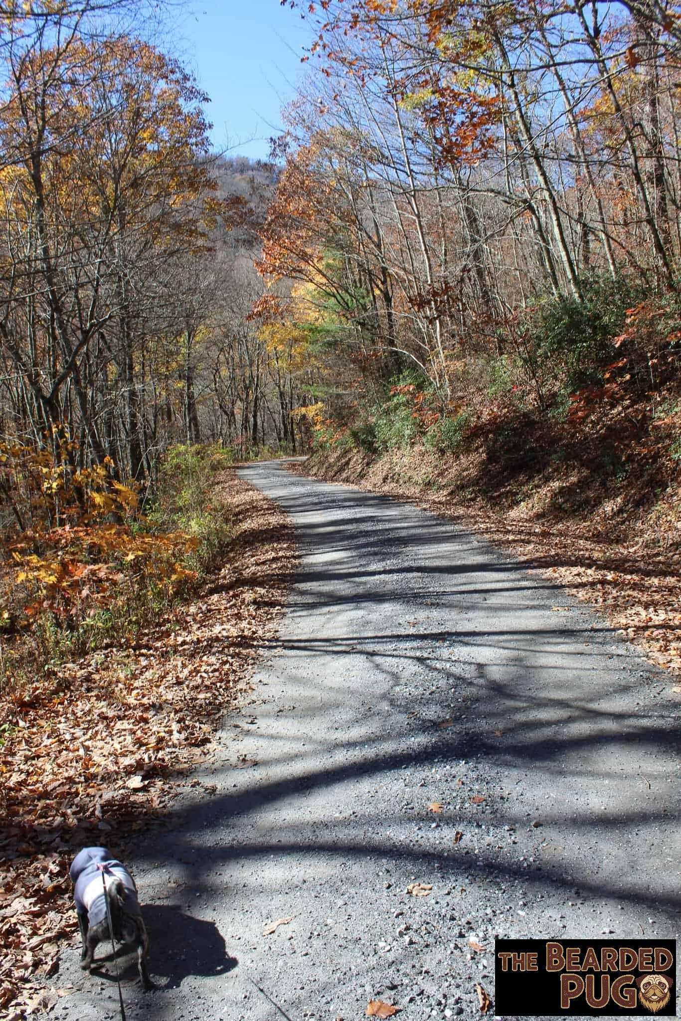
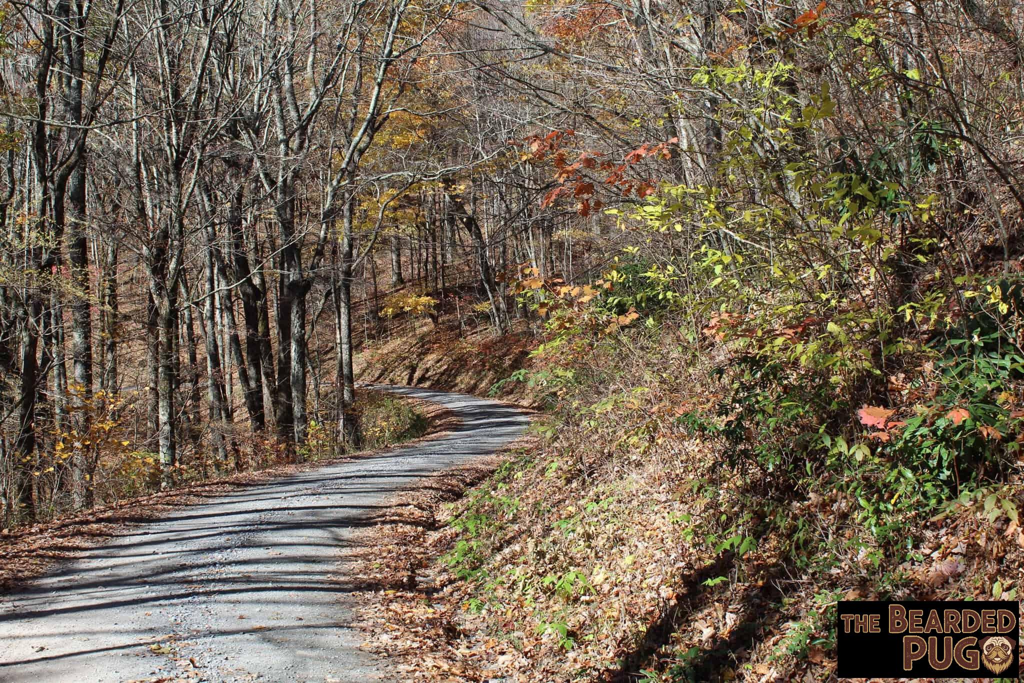
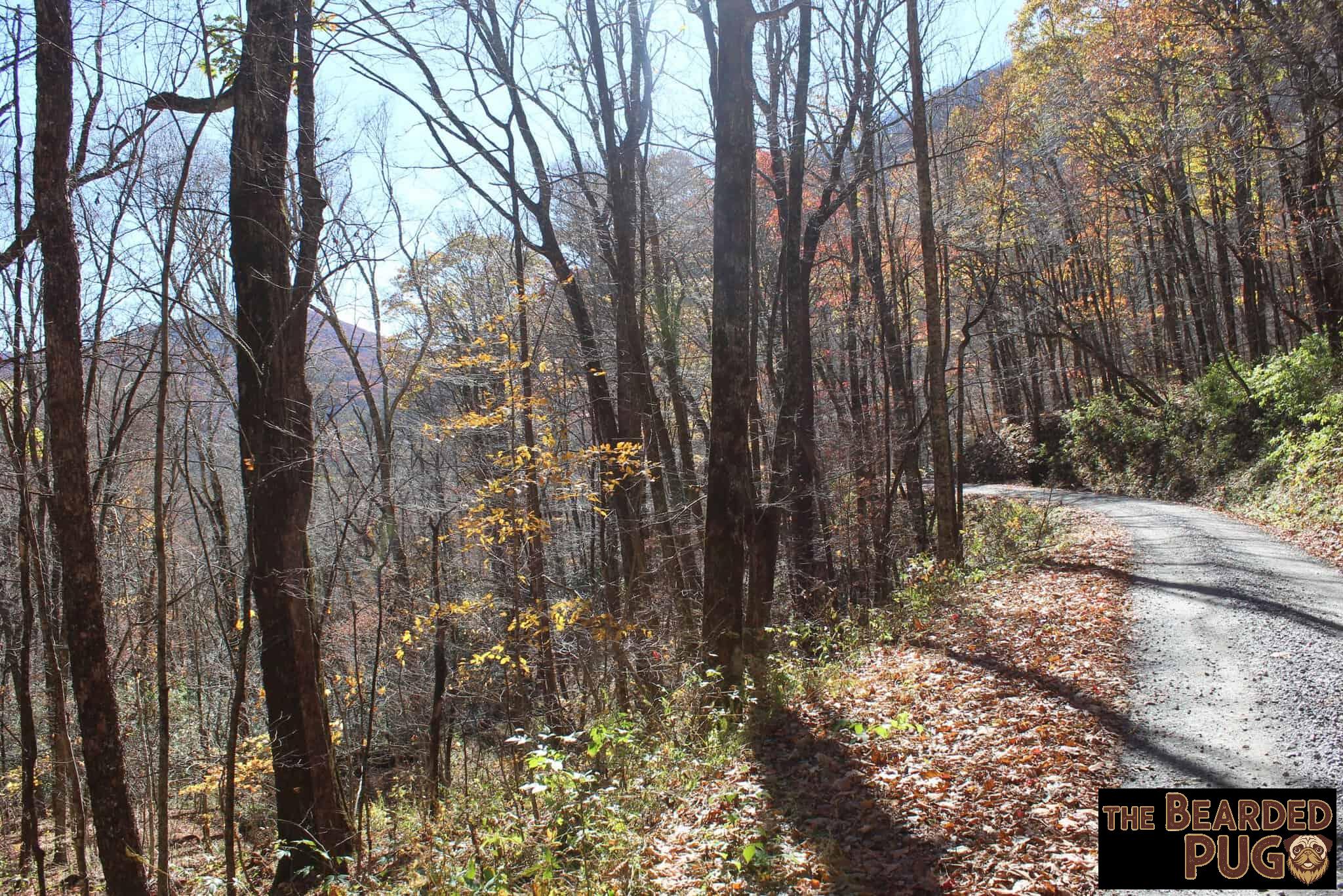
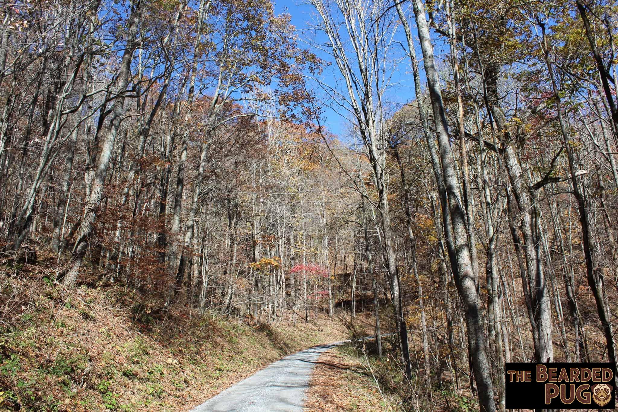
Deep in the Nantahala National Forest, west of Franklin, a gravel forest service road winds up to Deep Gap. It’s a low saddle where the Appalachian Trail crosses on its way over Standing Indian Mountain. At about 5,500 feet, Standing Indian is the highest point on the A.T. south of the Smokies, and it’s sometimes called the “Grandstand of the Southern Appalachians.” Cherokee legend says the summit is a warrior who was turned to stone while keeping watch over the valley. The whole area sits in the Southern Nantahala Wilderness, so there are no hookups and no bathhouse. It’s just you, the trees, and whatever you hauled up the mountain. Lola and I were all in. 🏕️🐶
Finding Our Spot
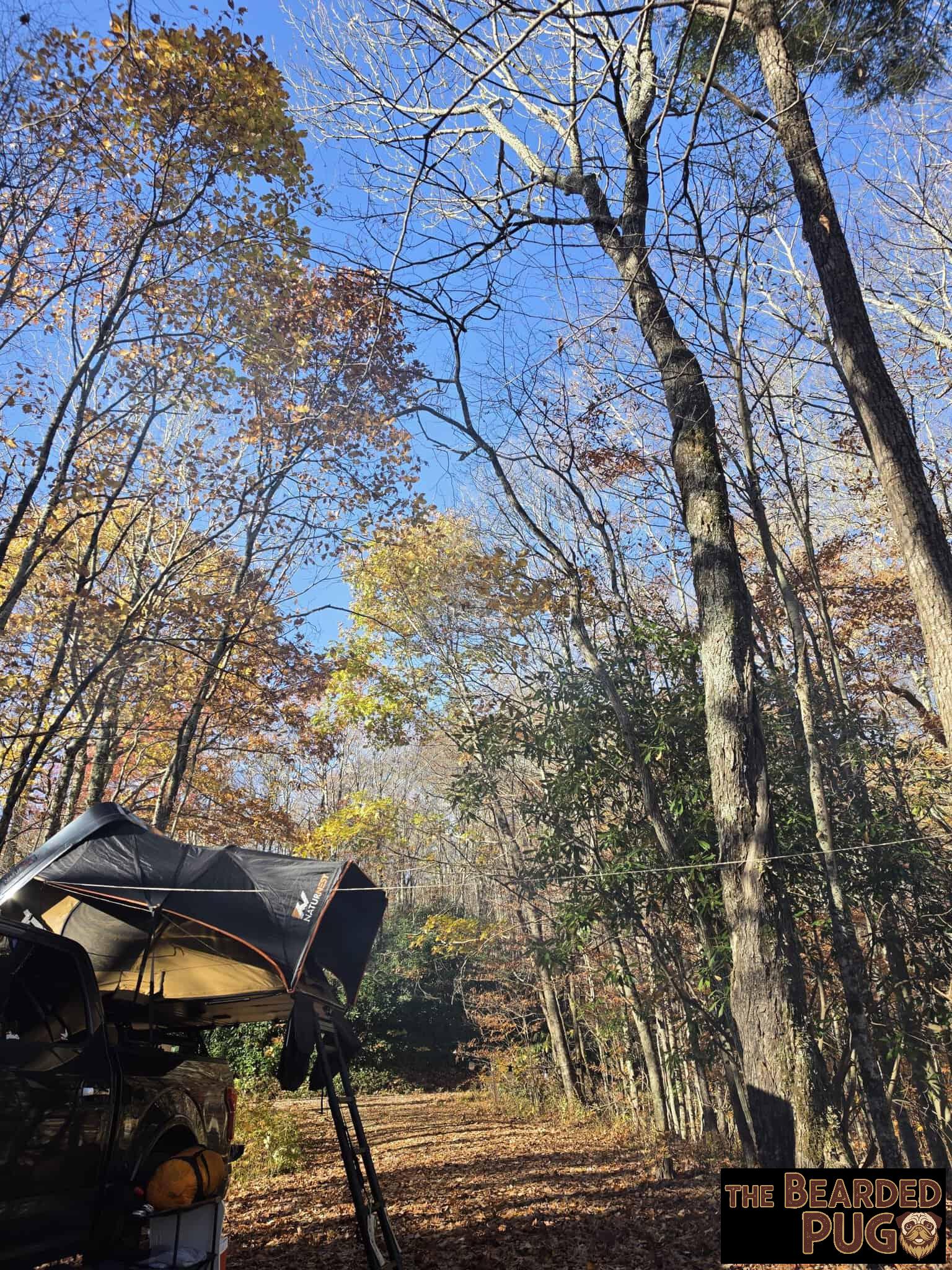
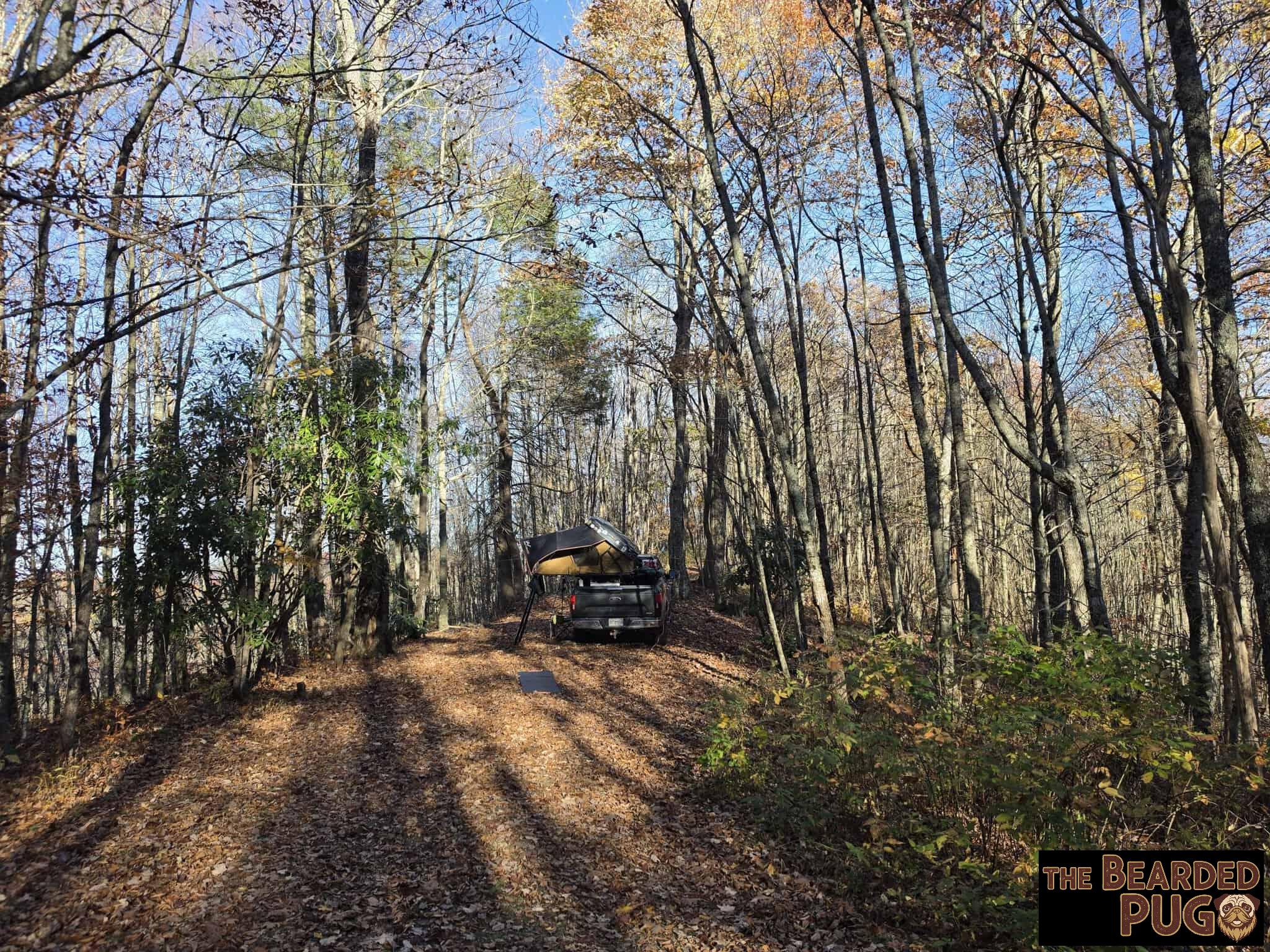
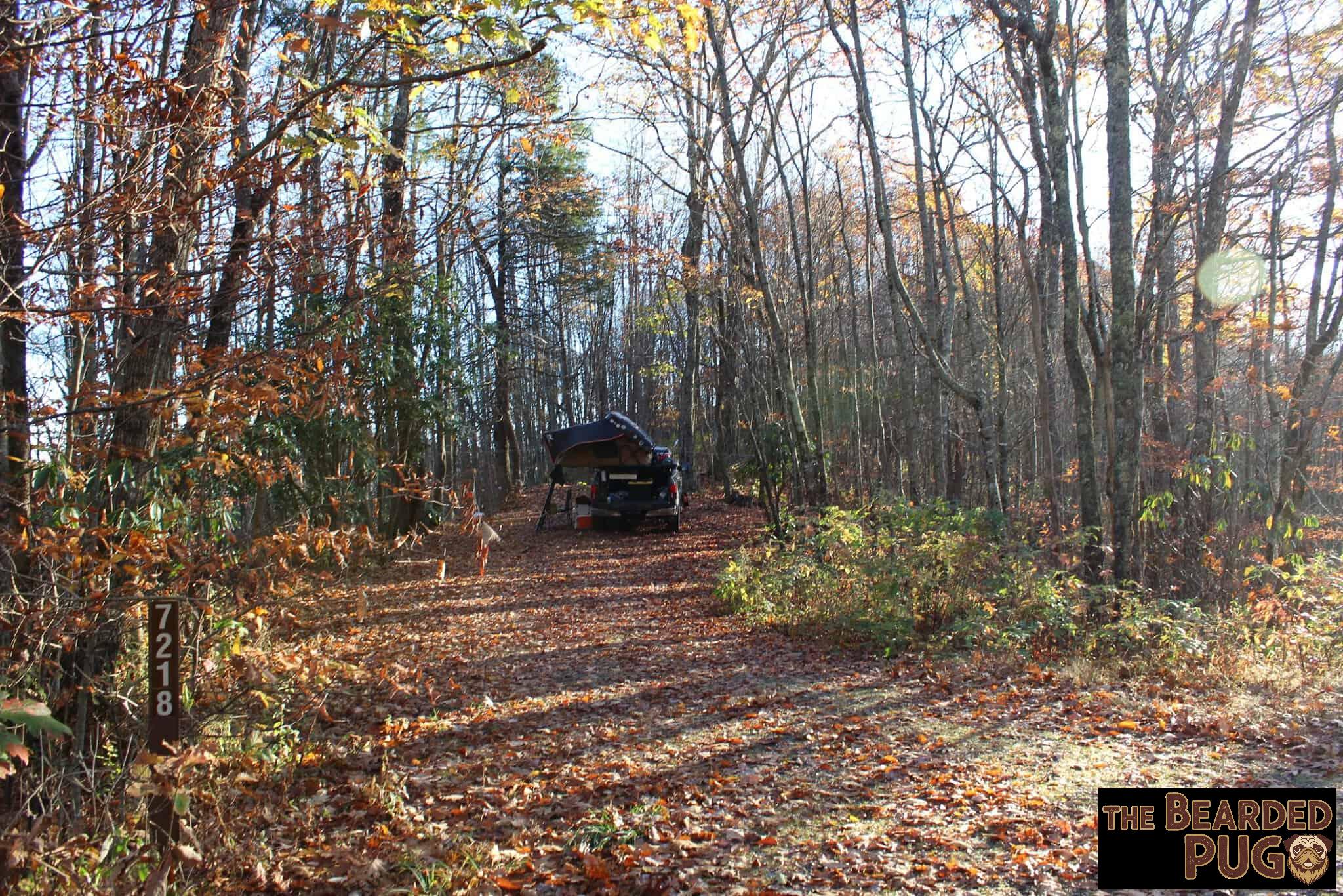
We rolled in around 12:30 and drove all the way to the end of the road, hoping for a campsite with a view. No luck. There’s a parking area, and if you hang a hard left there’s a flat spot to camp, but it didn’t do much for me.
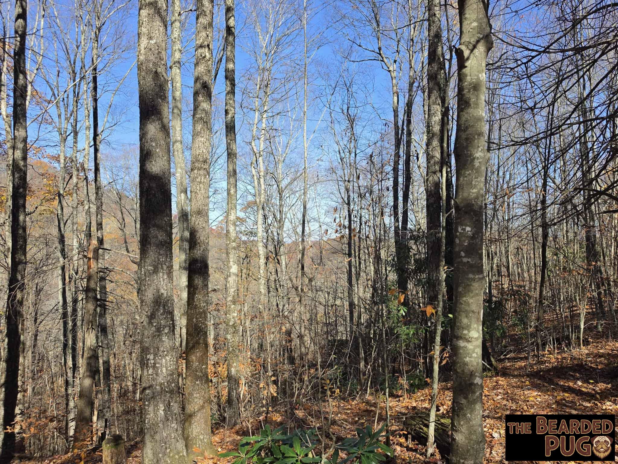
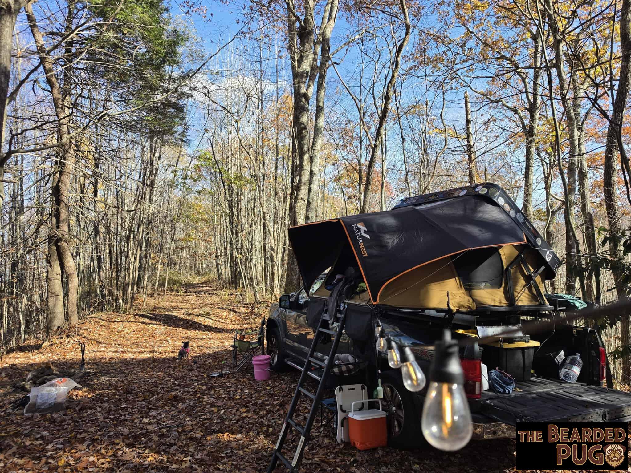
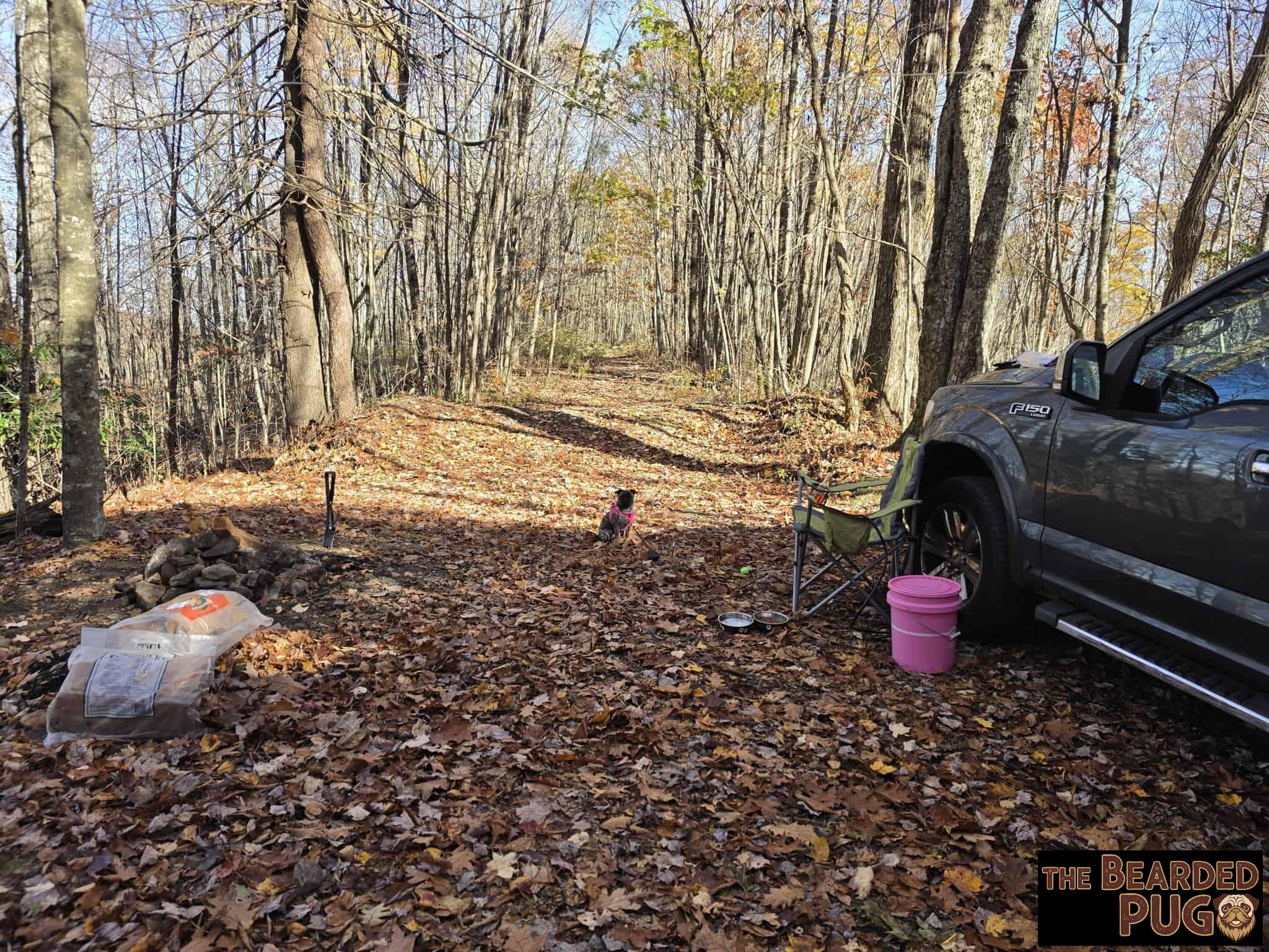
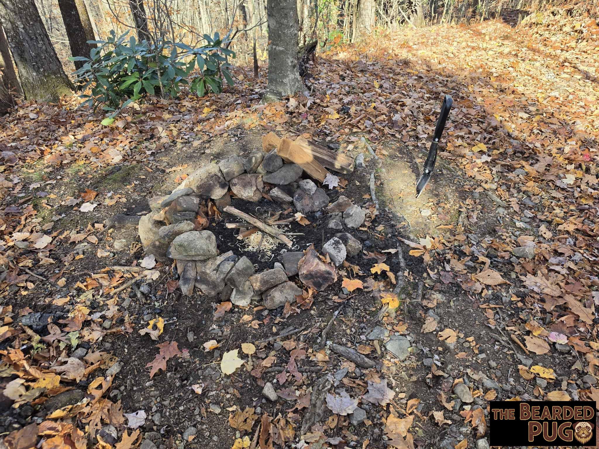
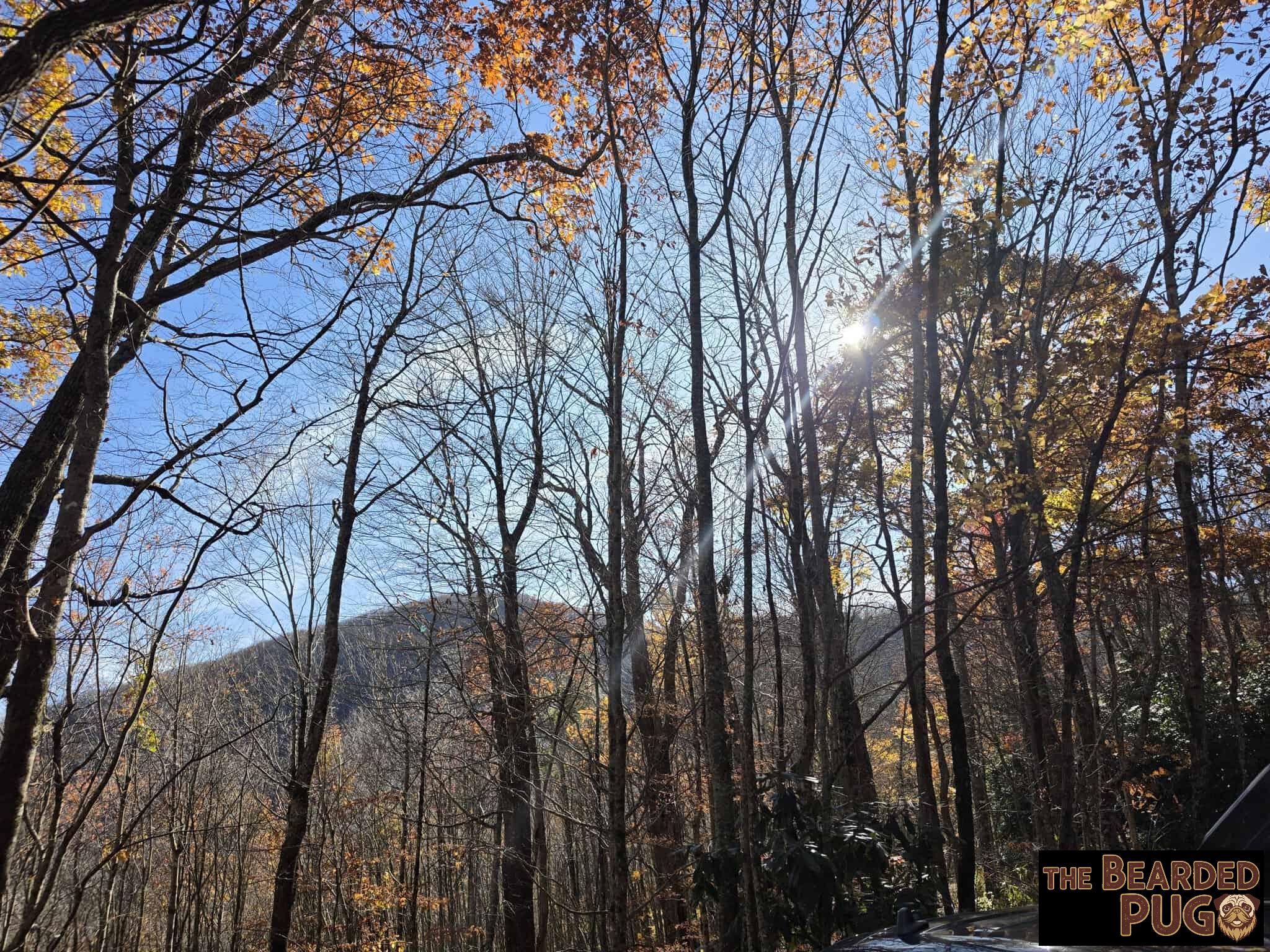
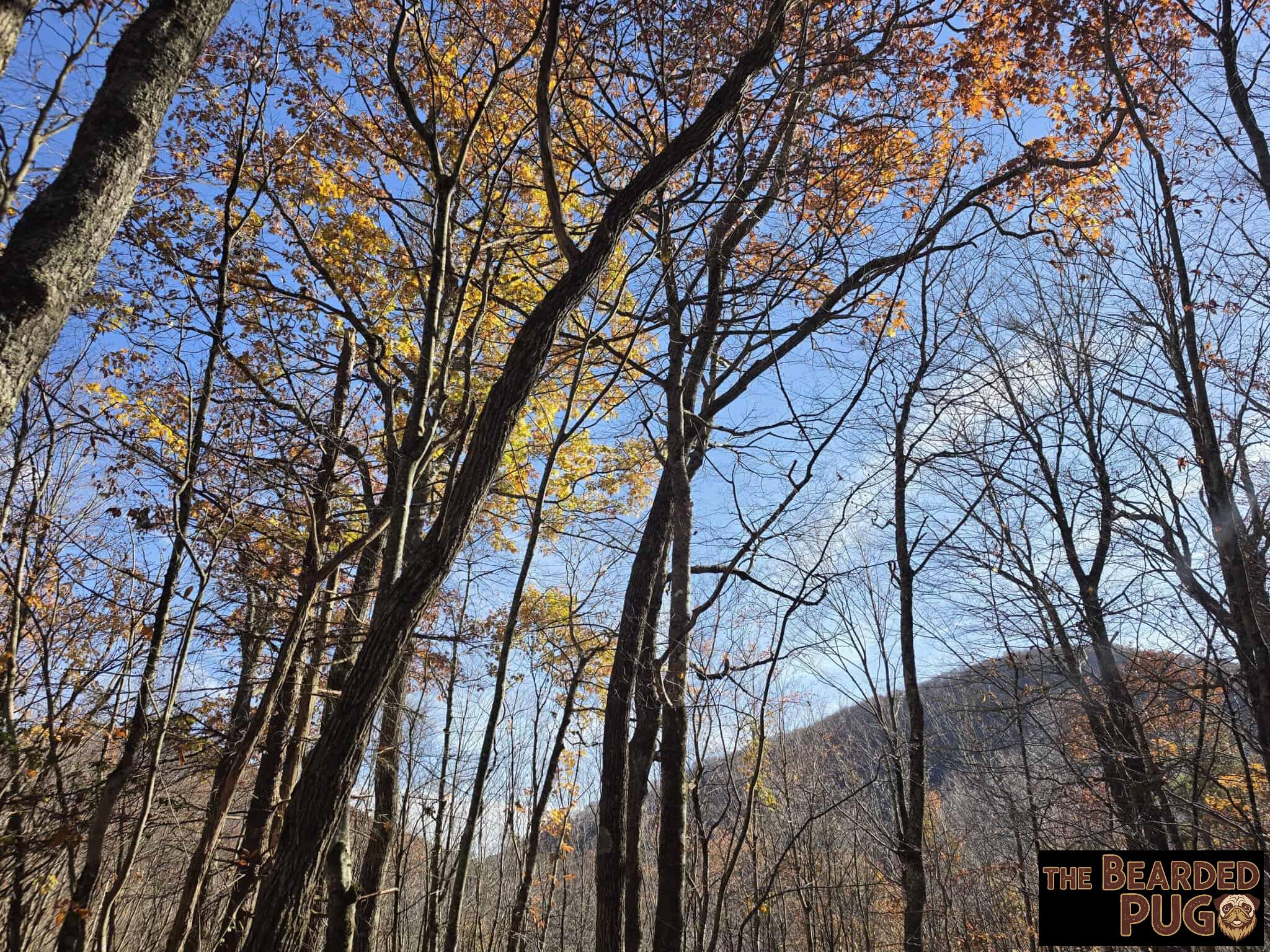
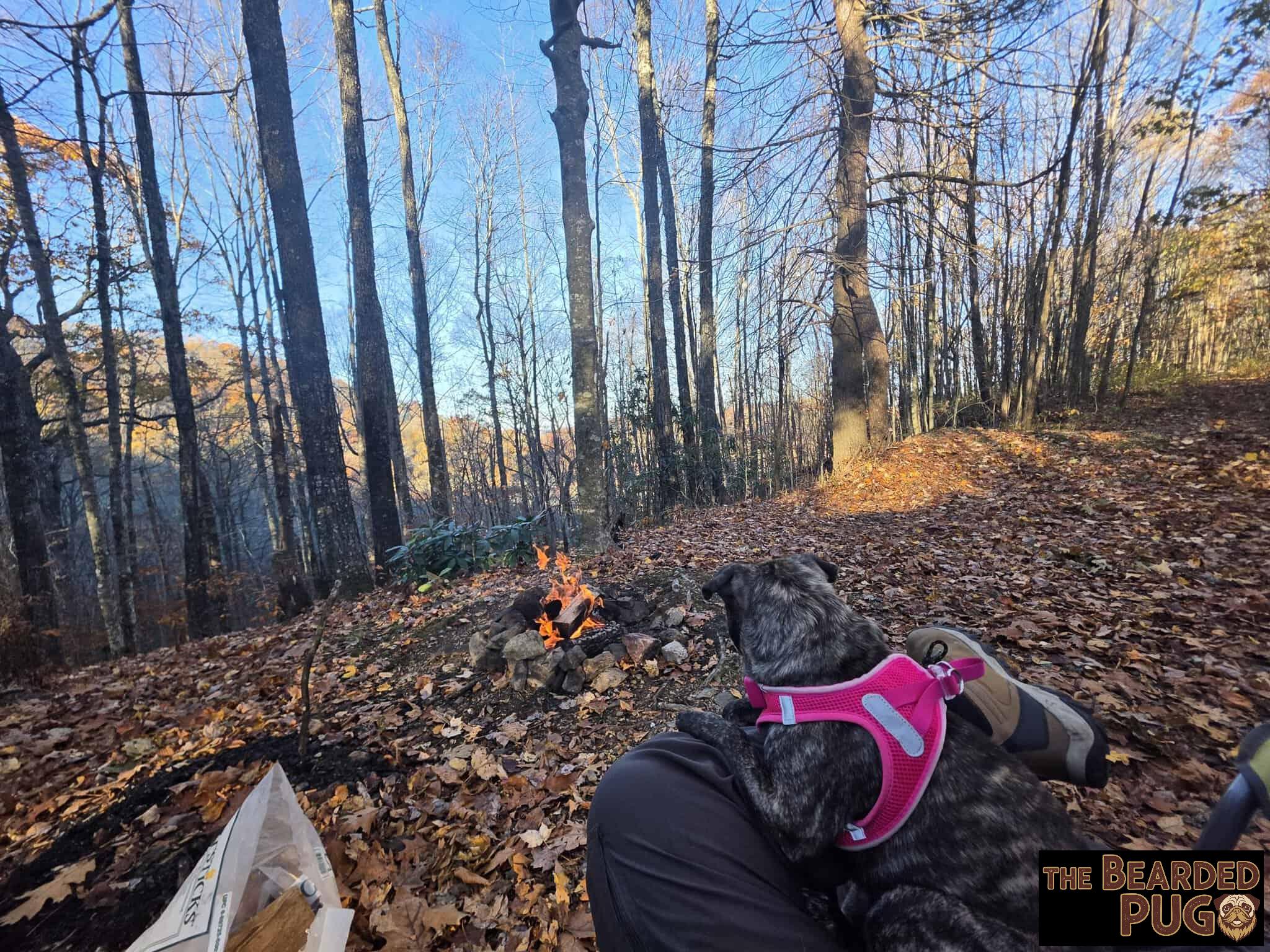
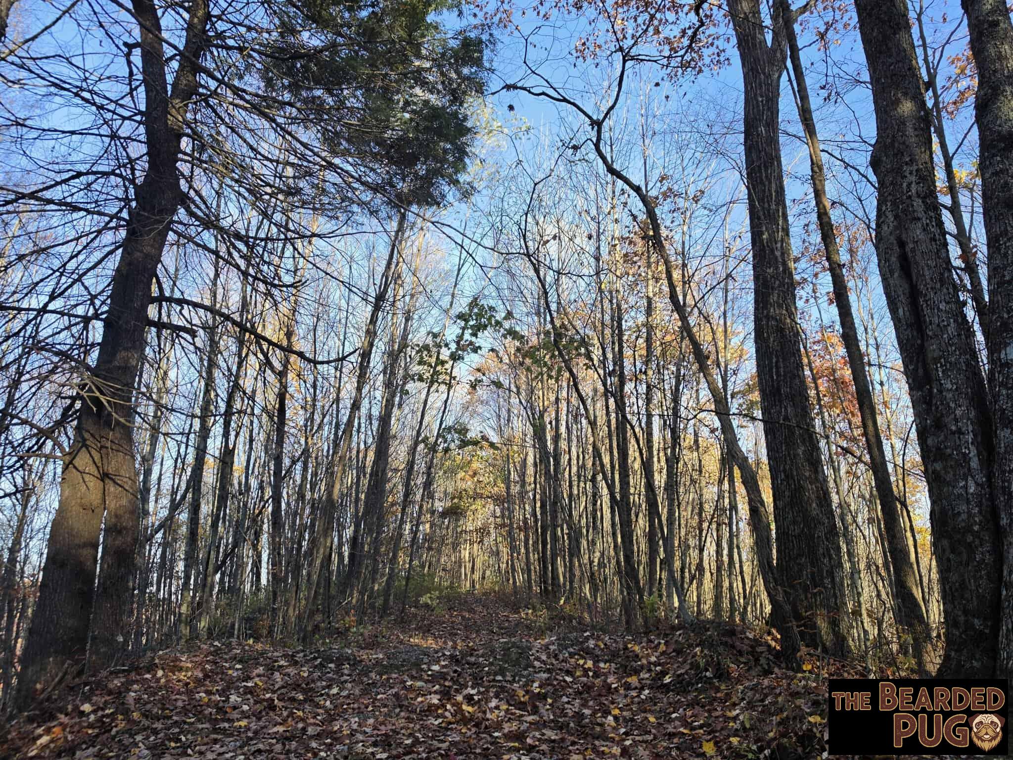
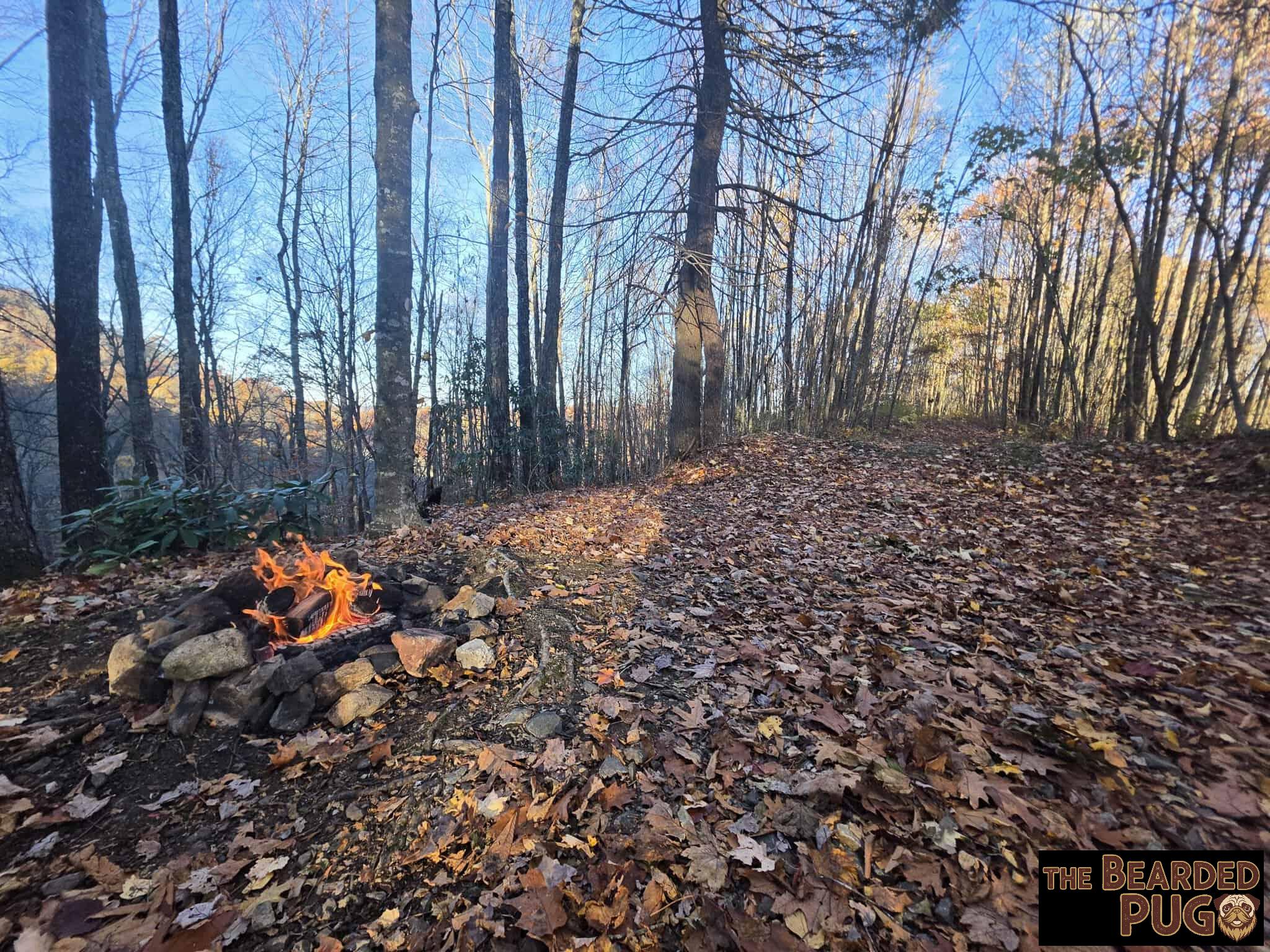
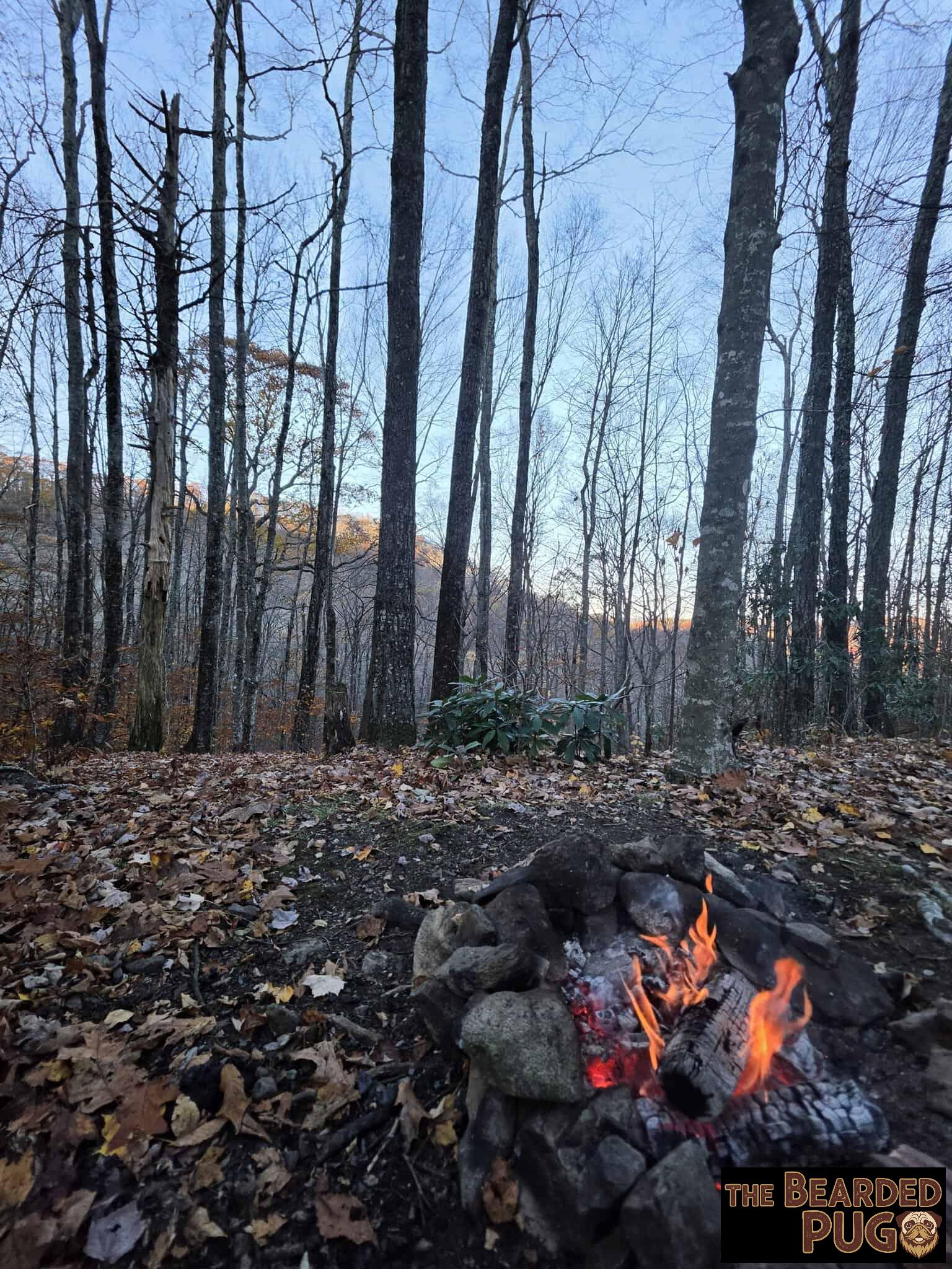
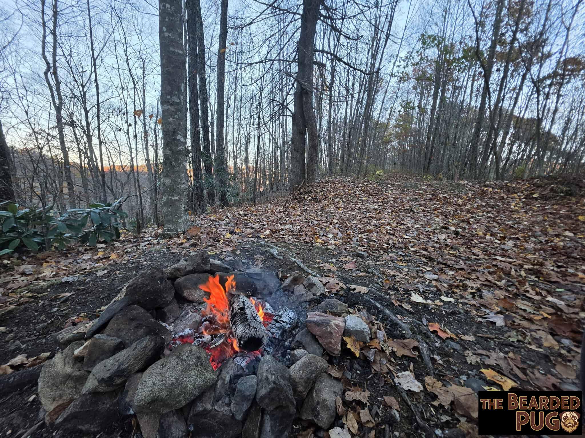
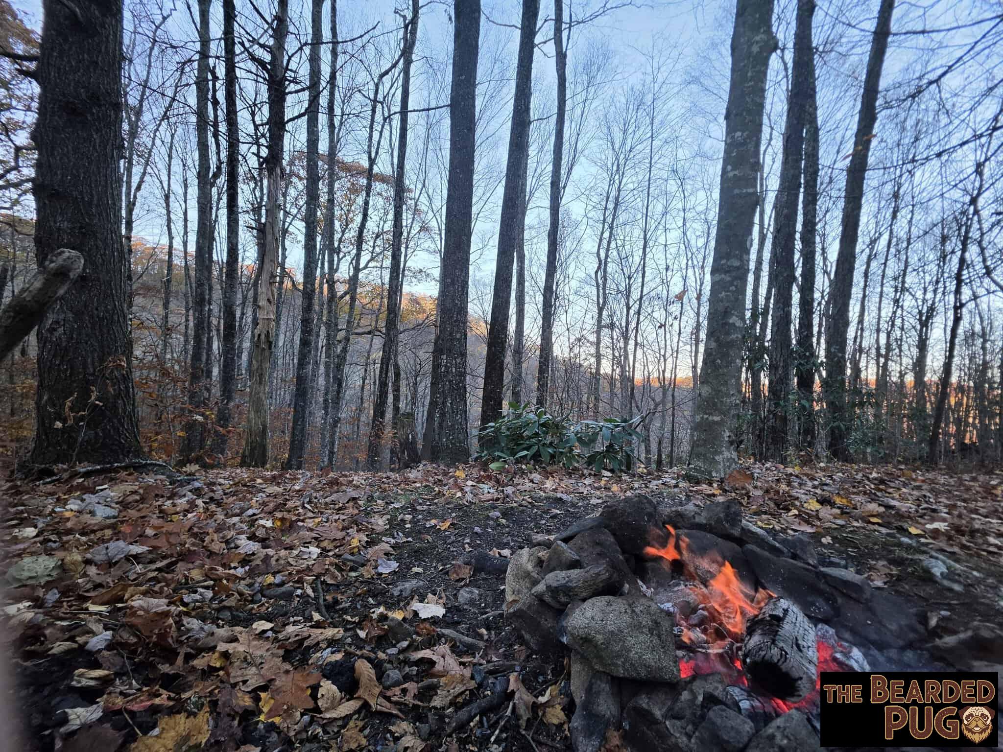
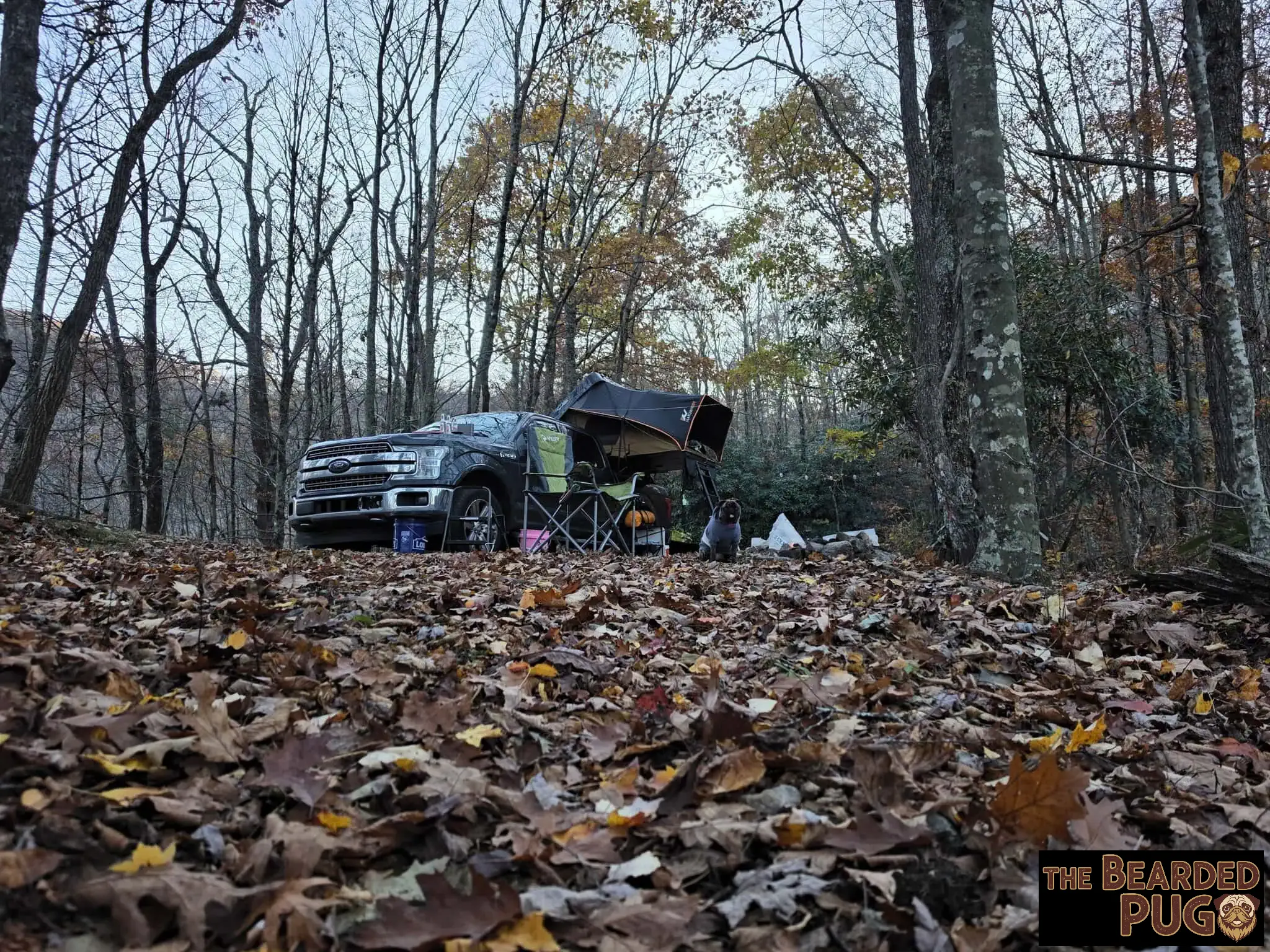
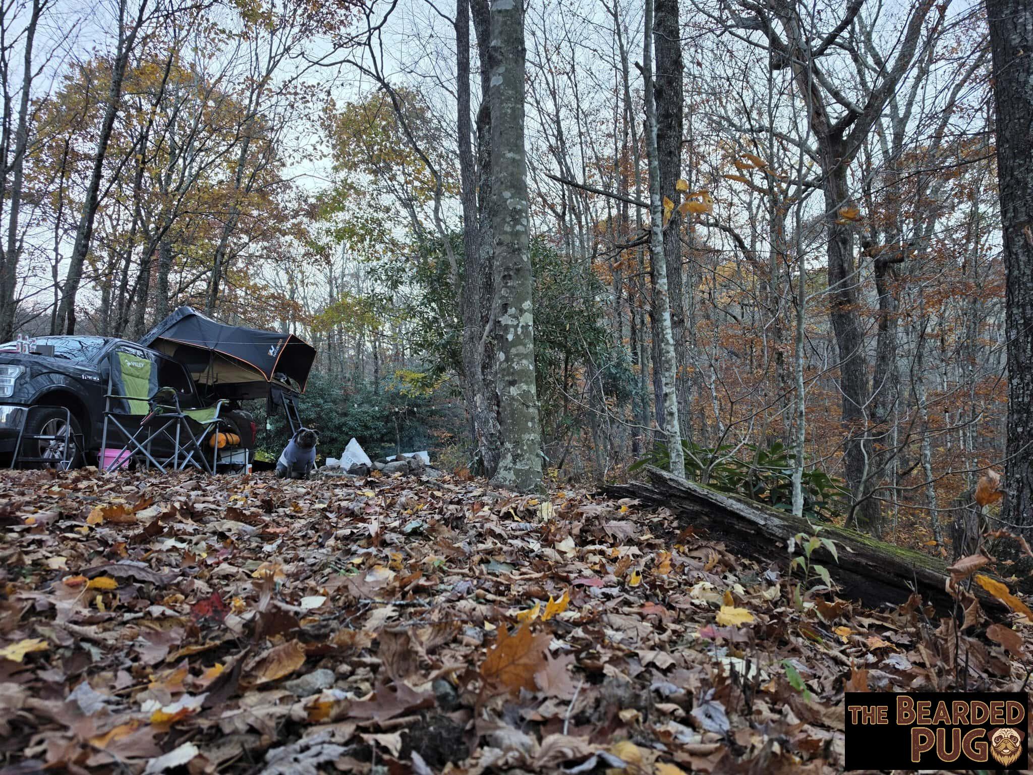
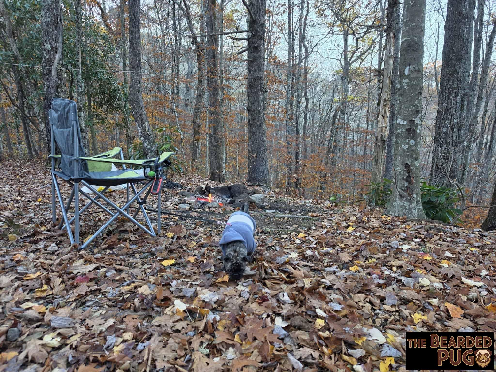
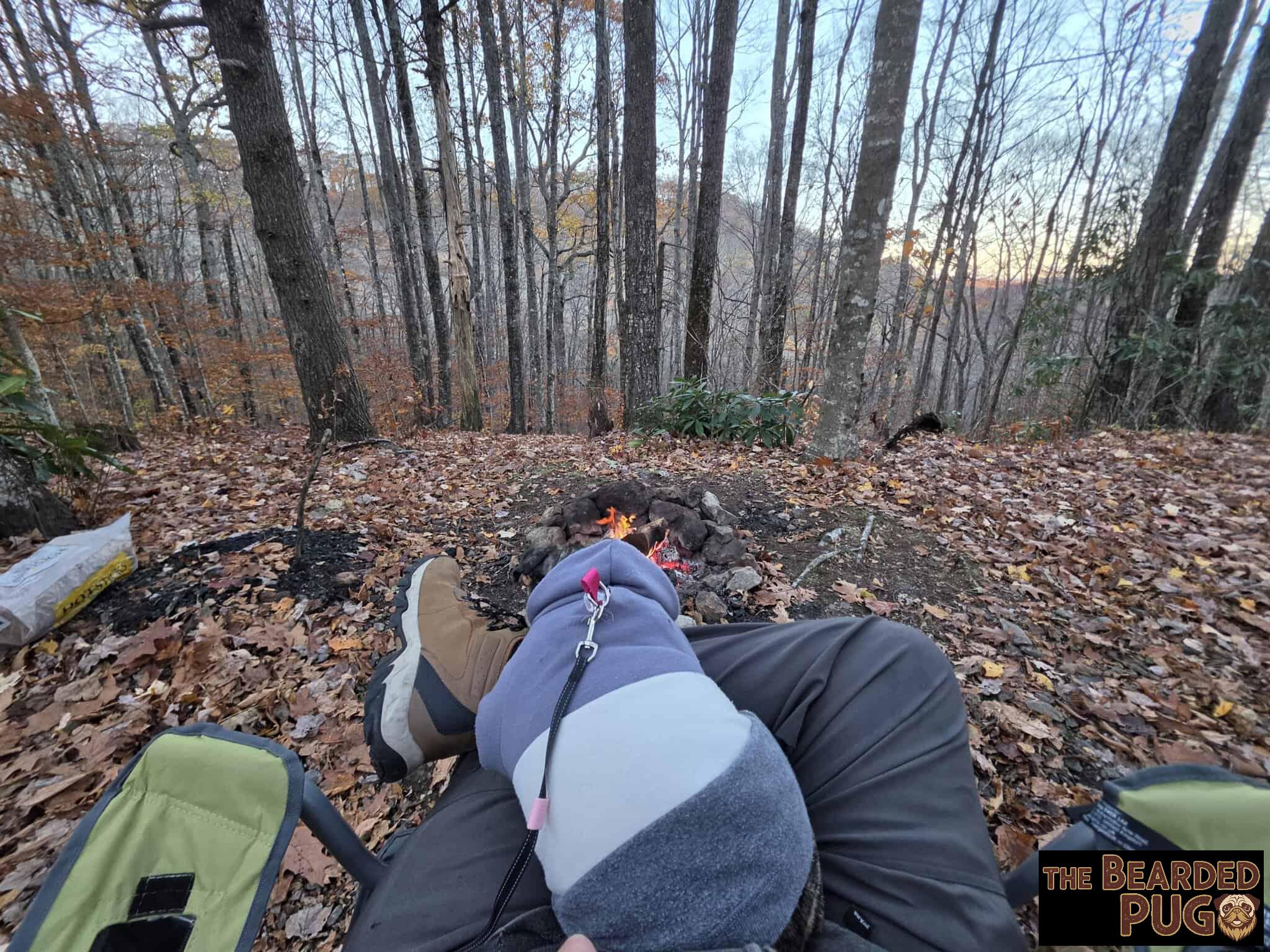
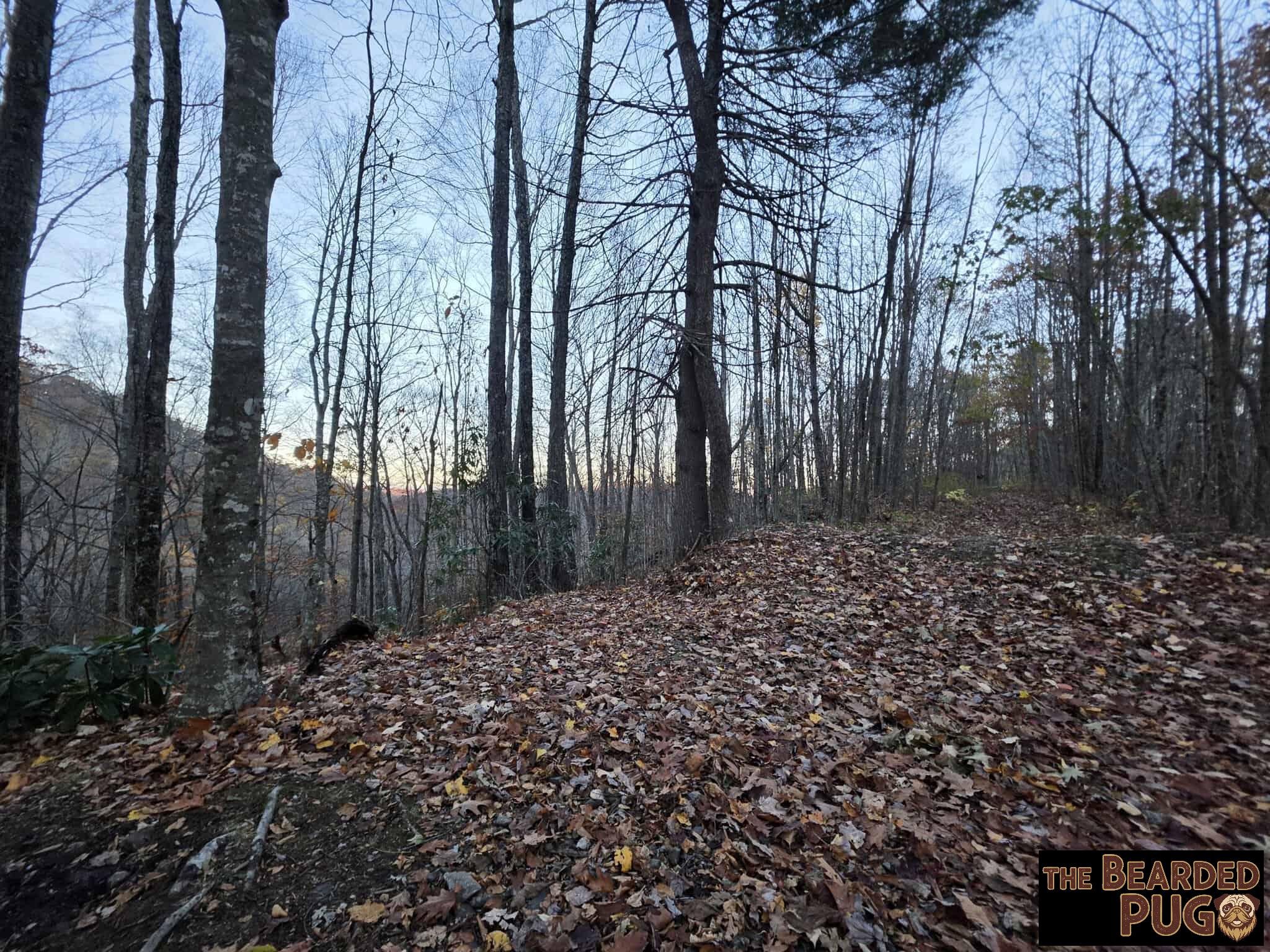
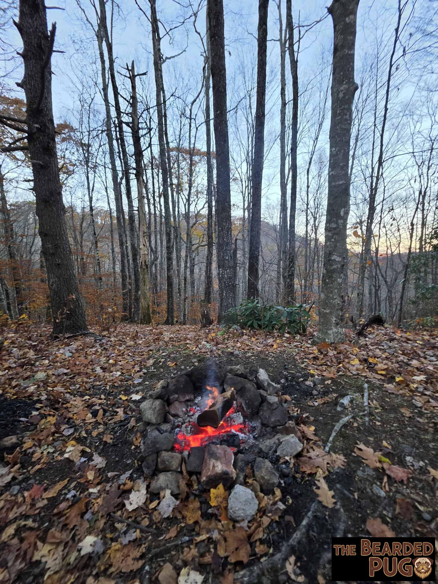
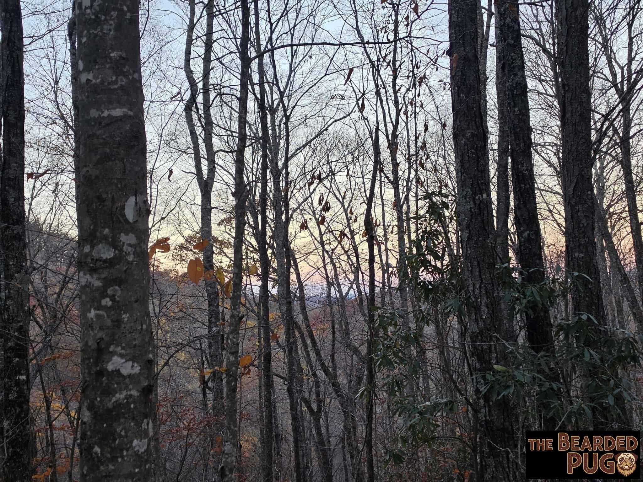
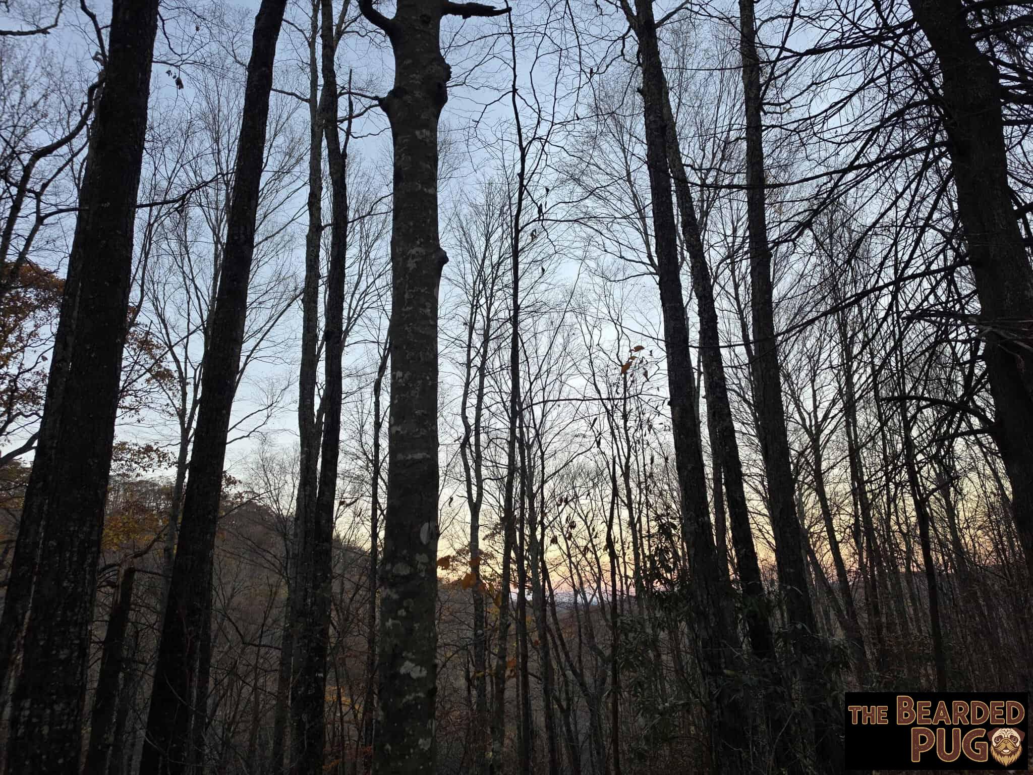
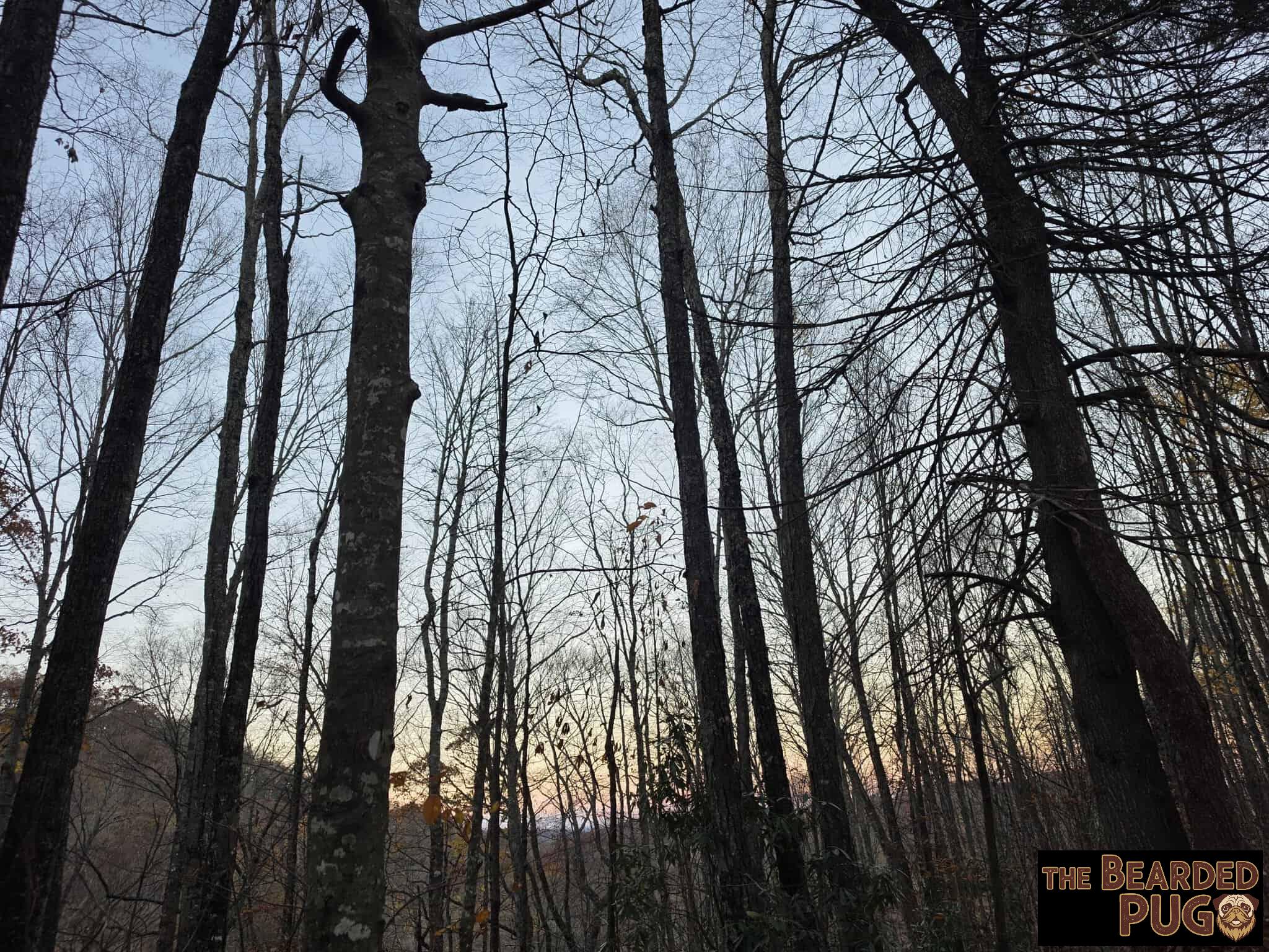
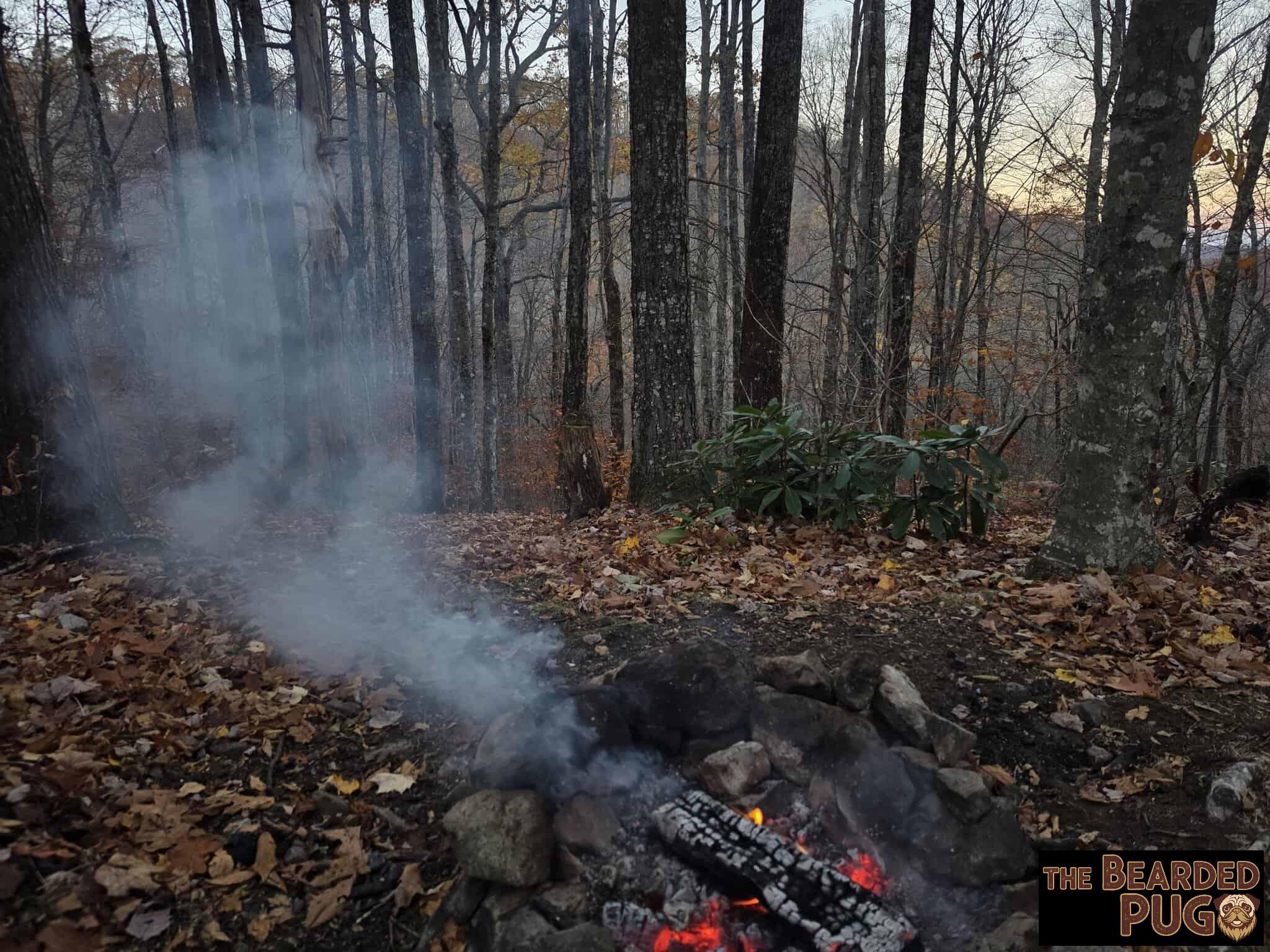
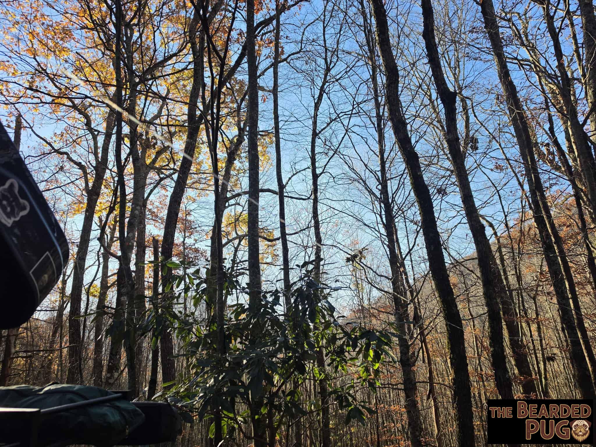
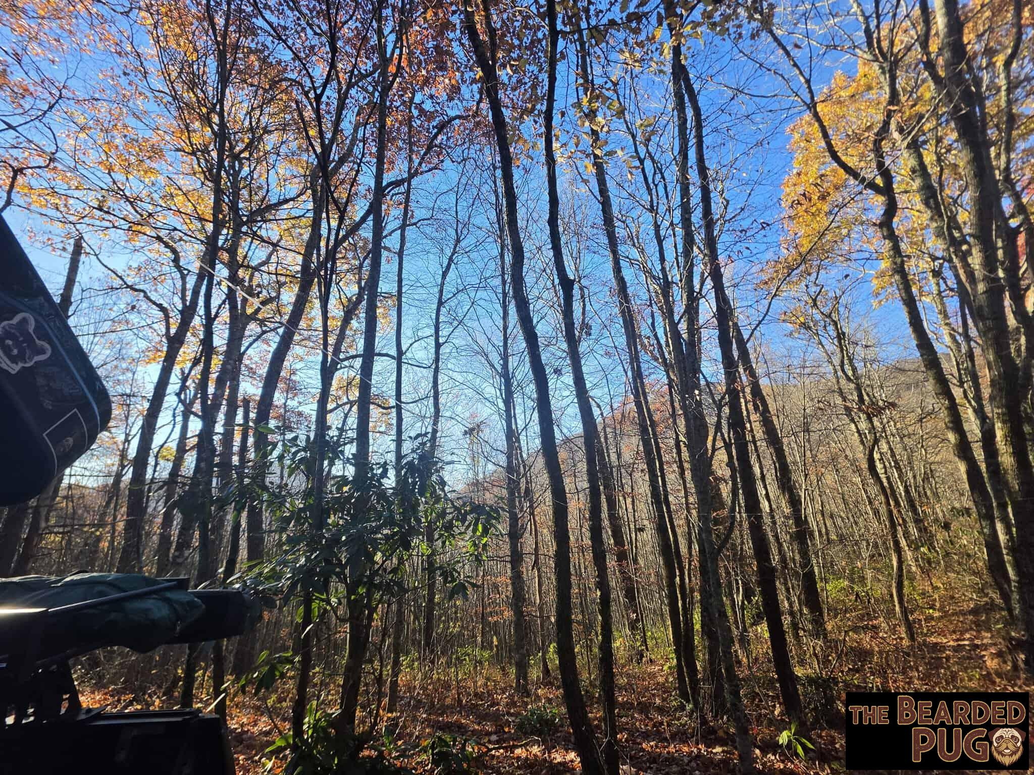
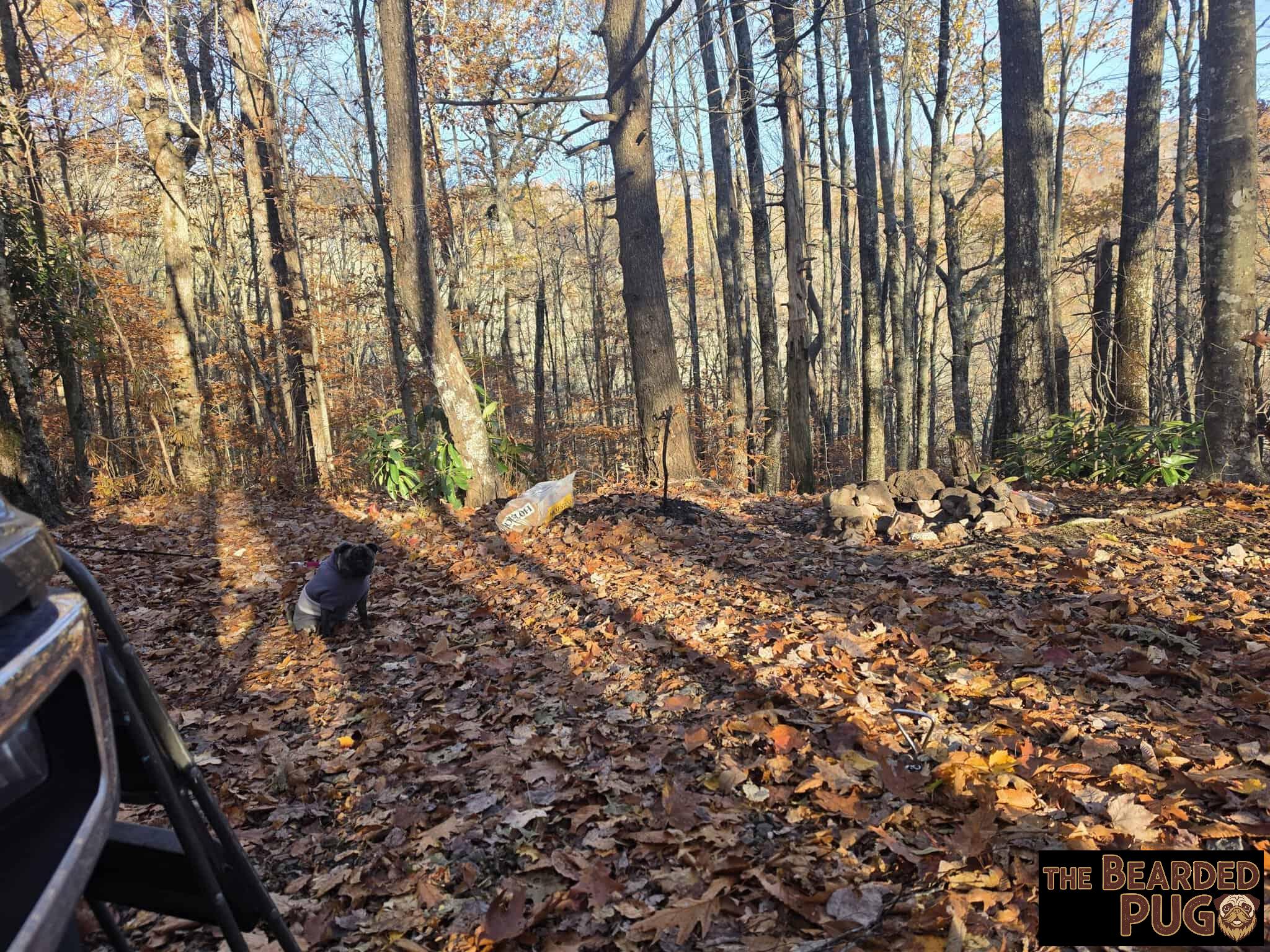
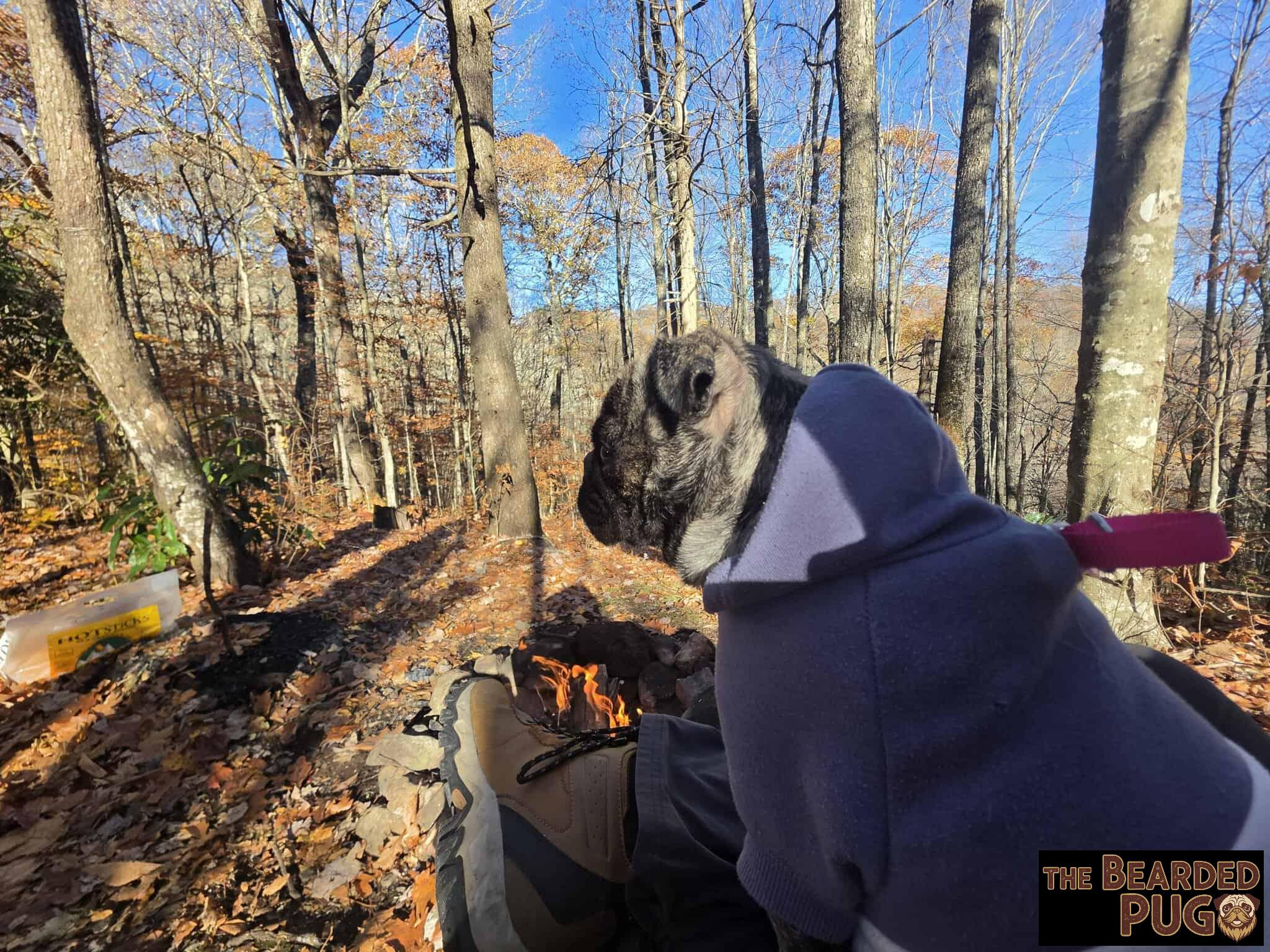
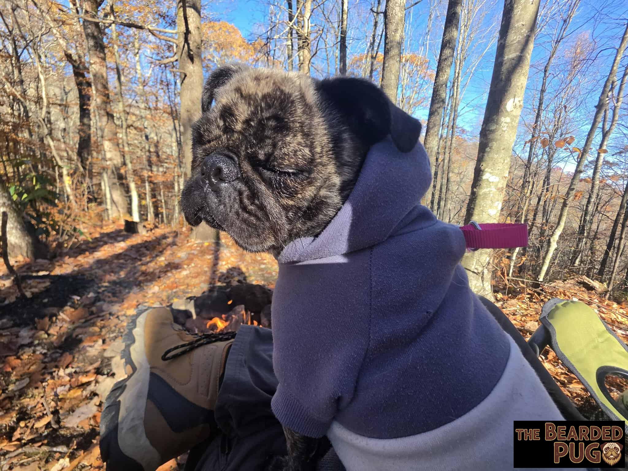
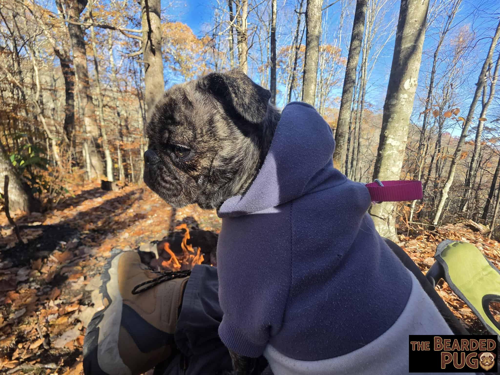
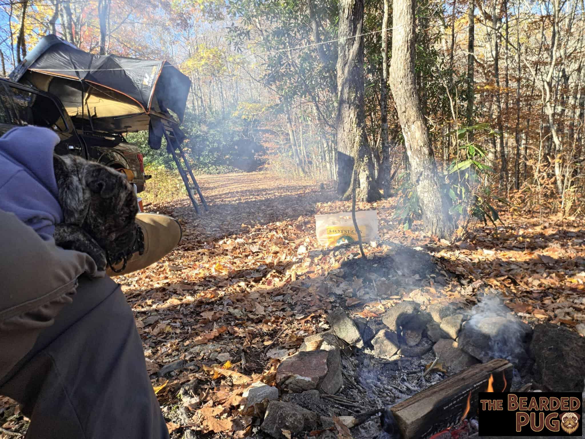
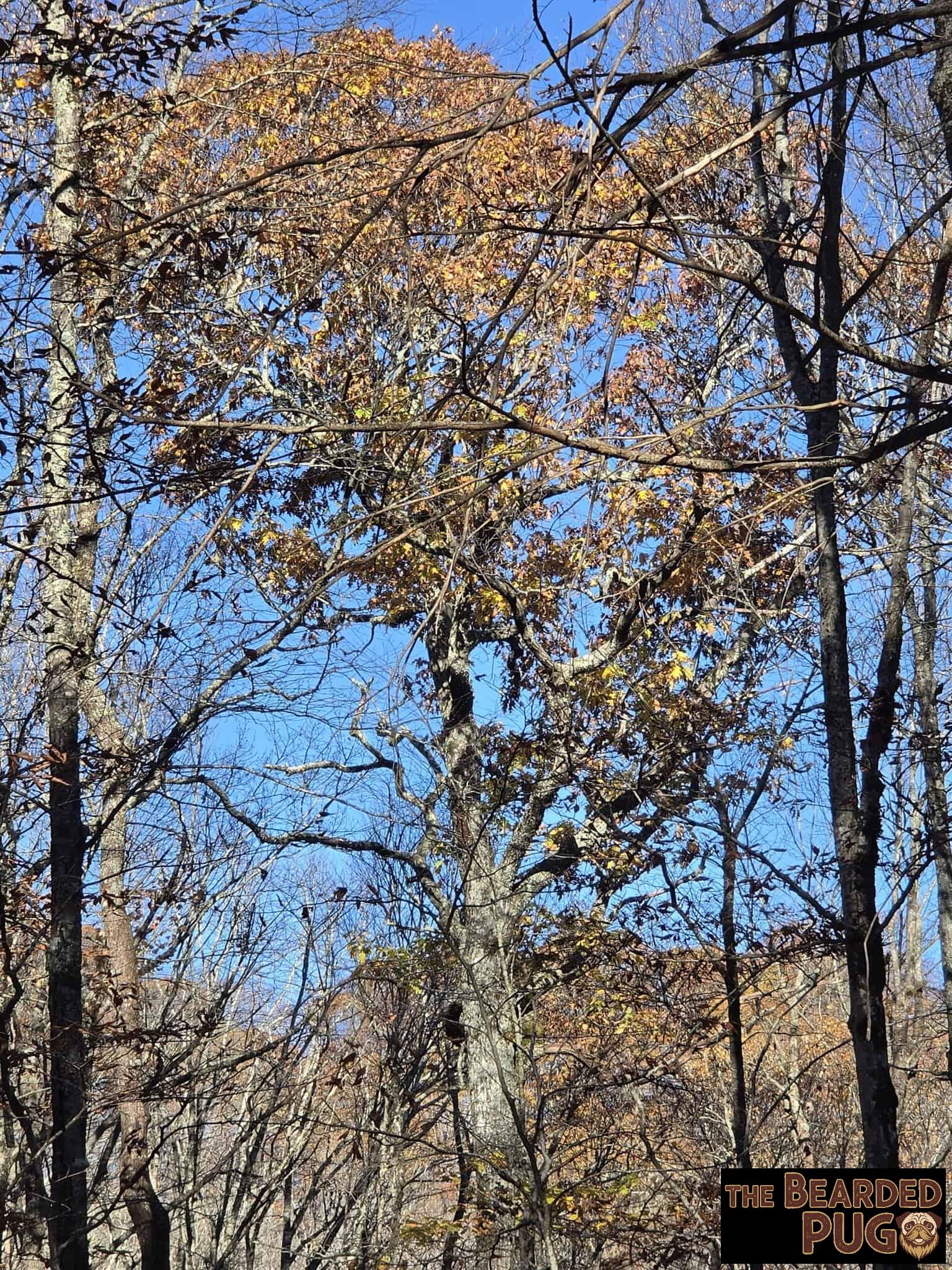
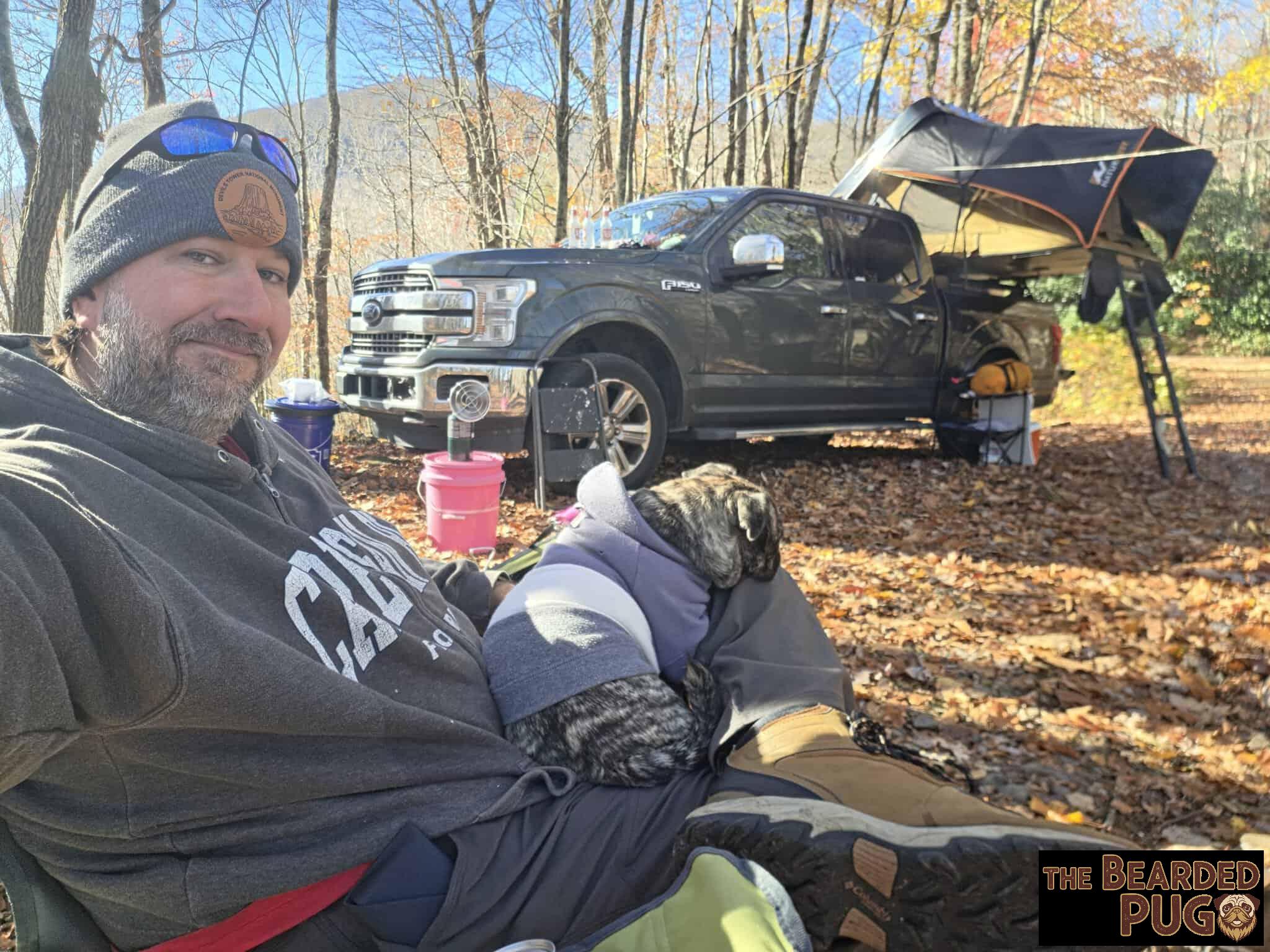
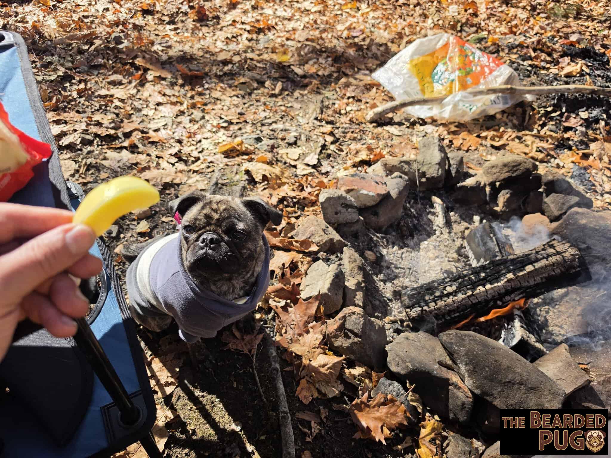
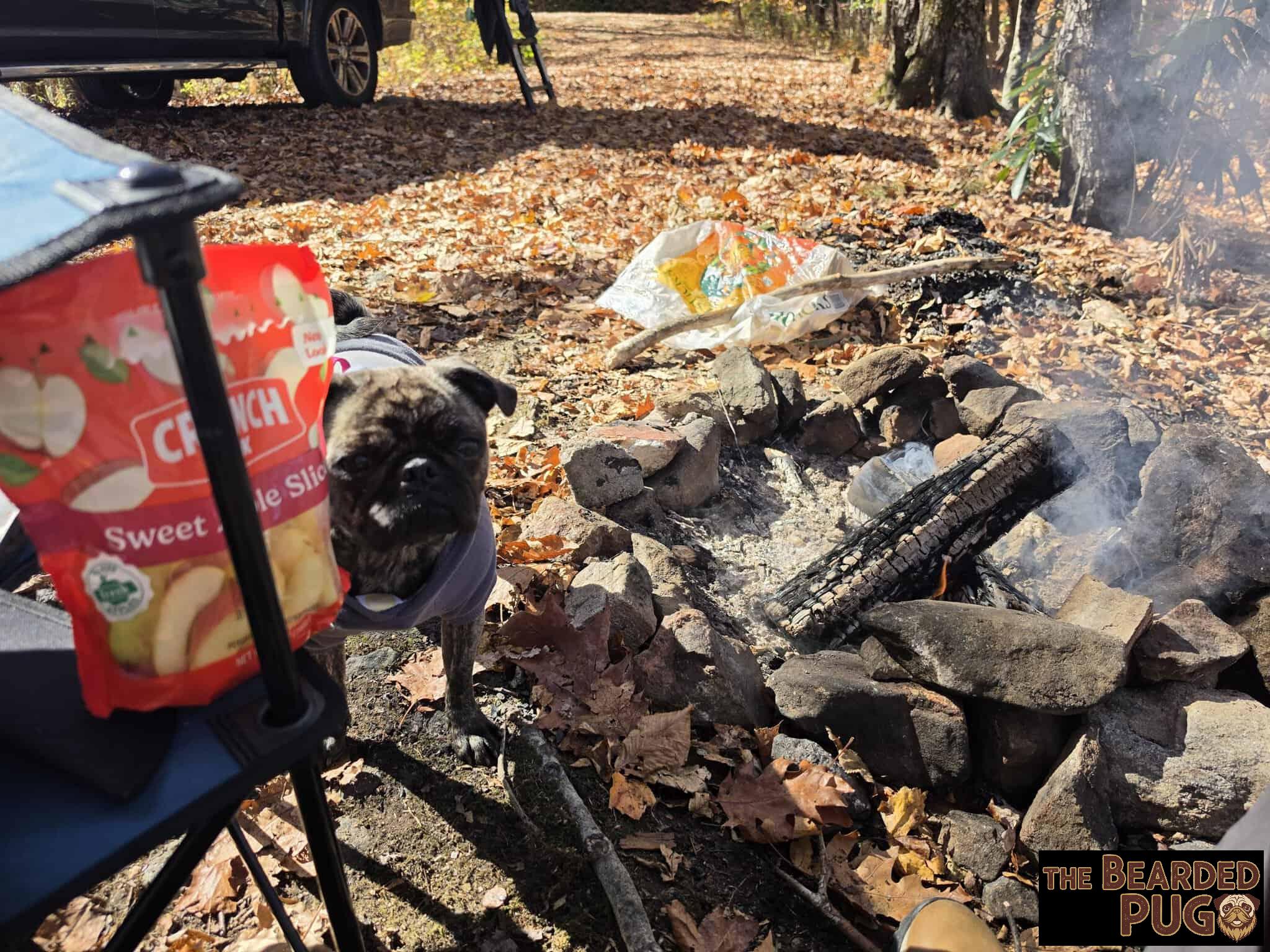
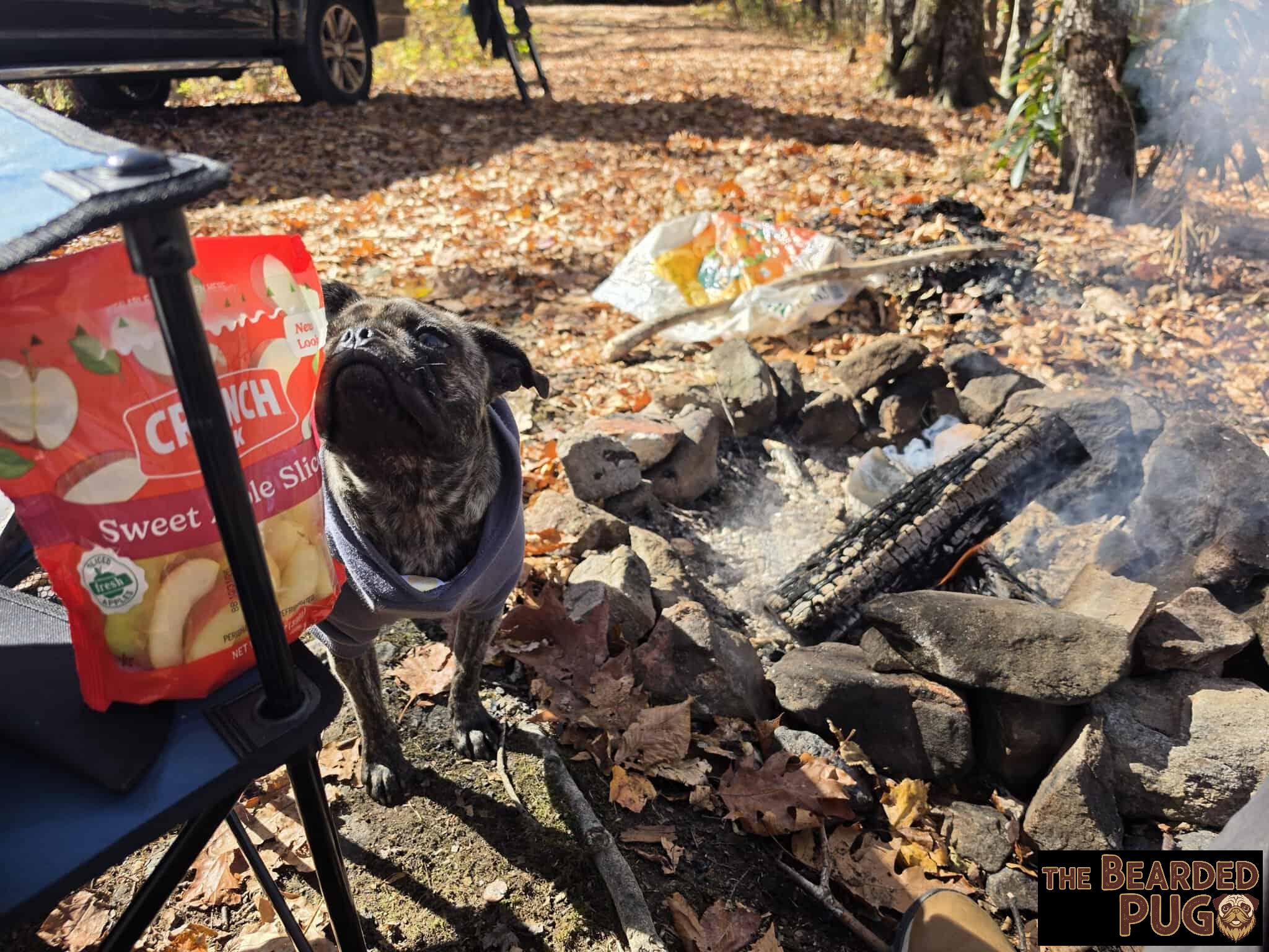
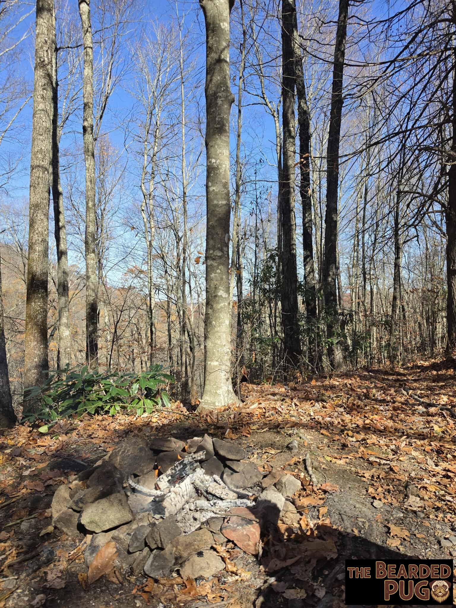
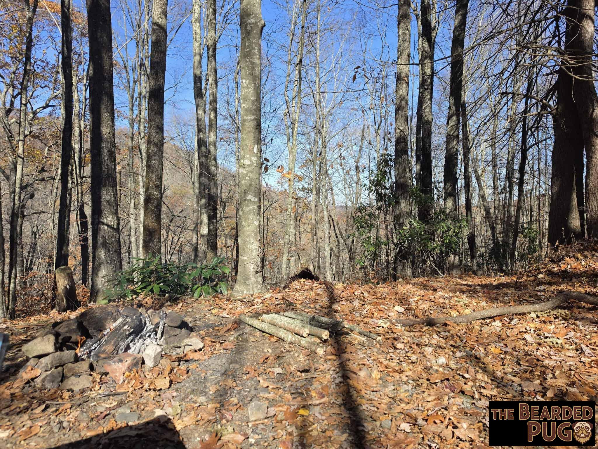
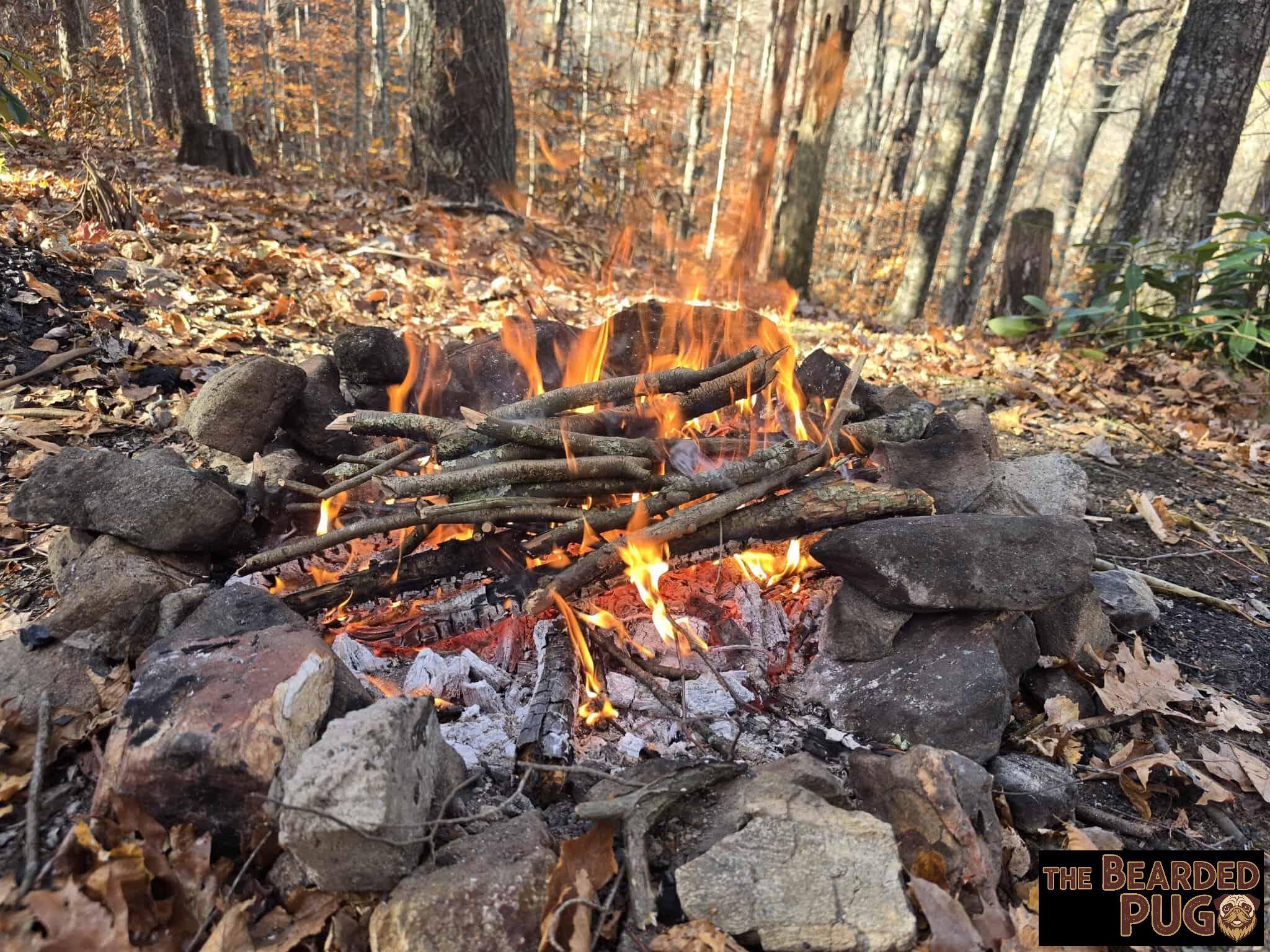
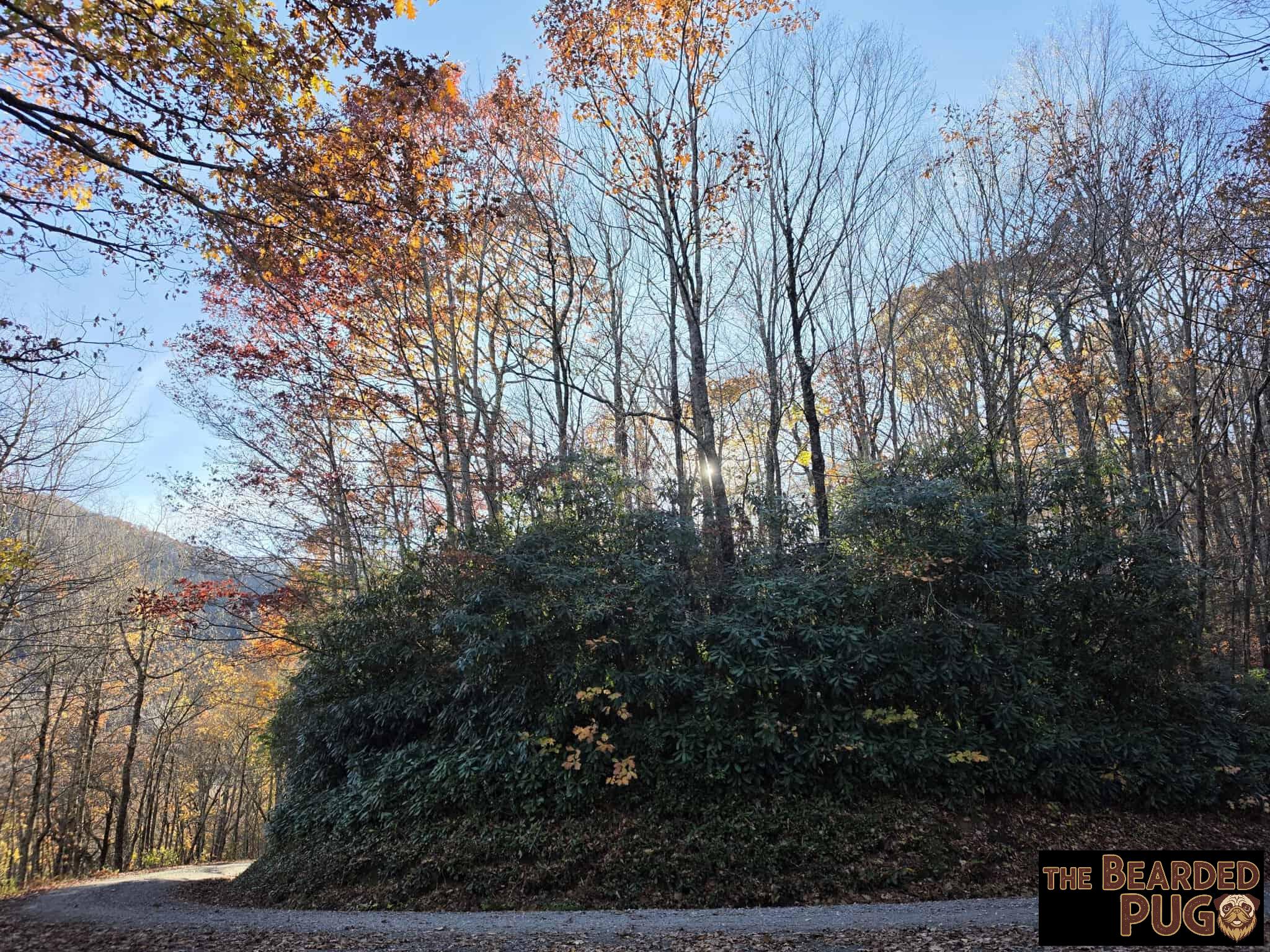
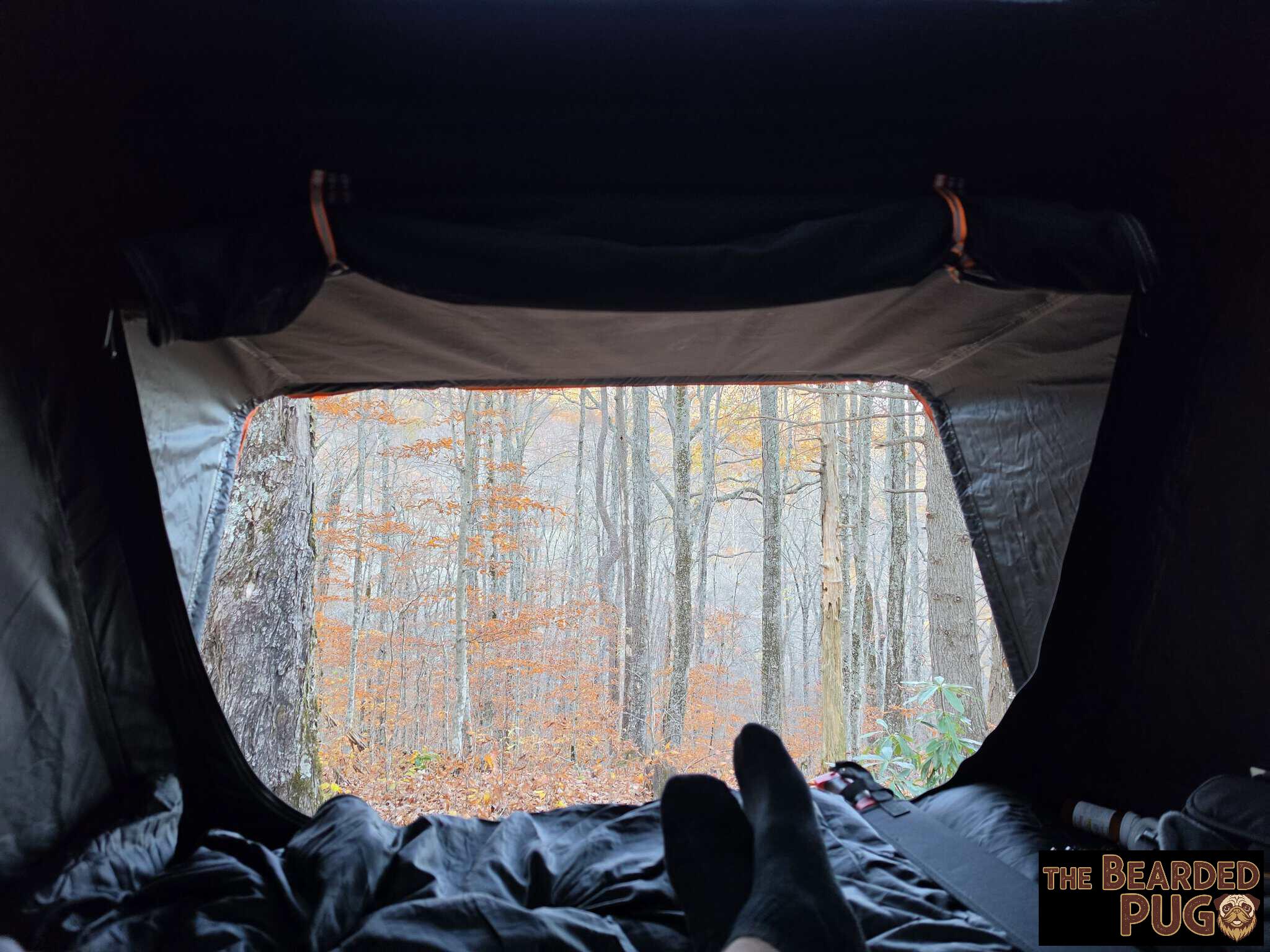
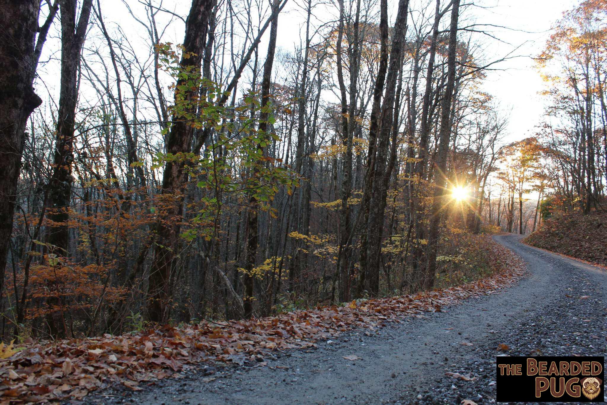
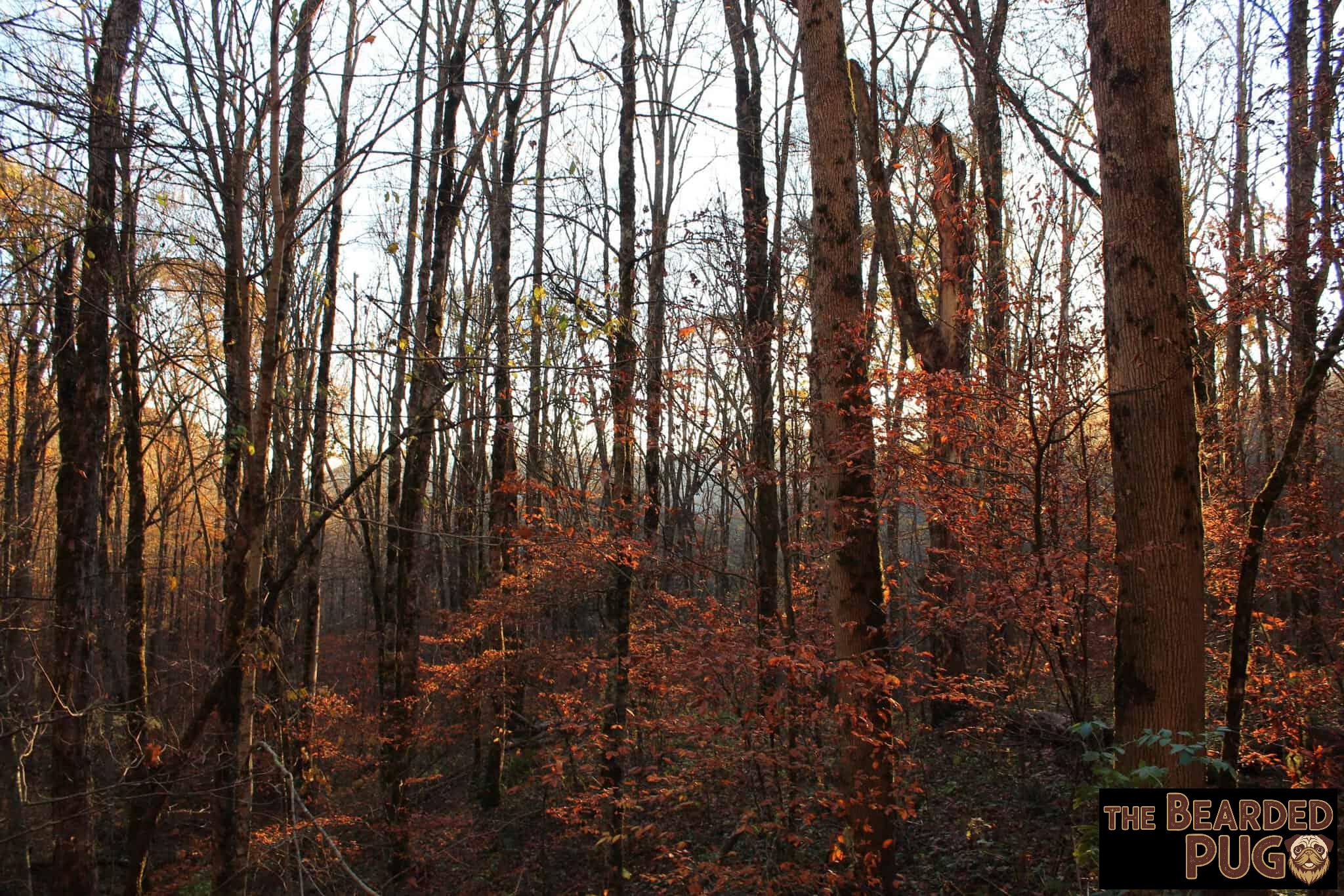
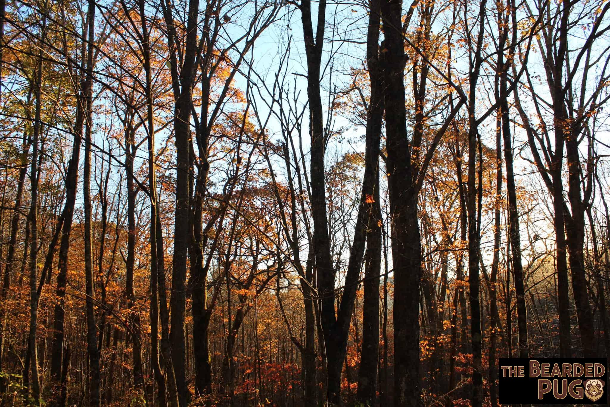
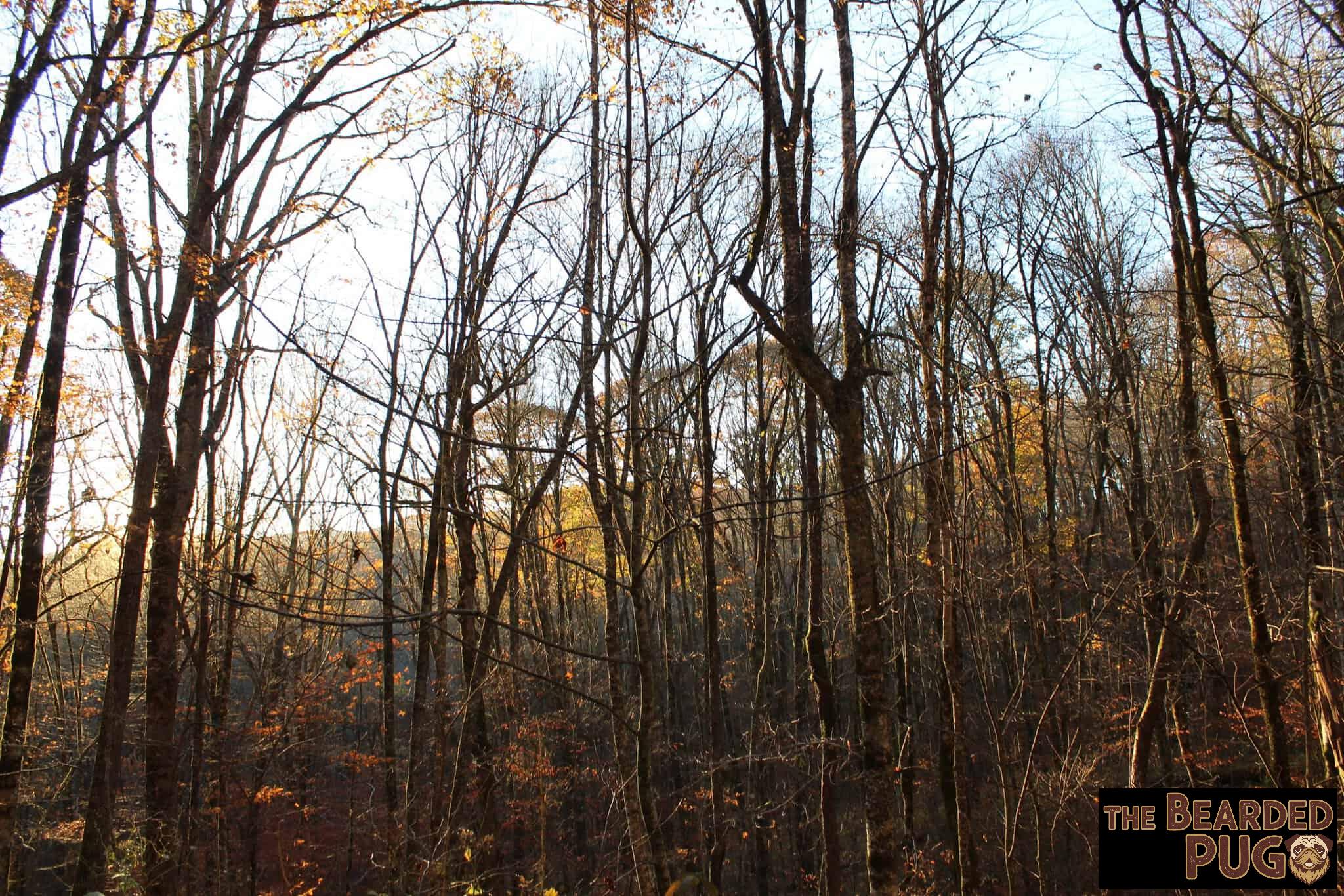
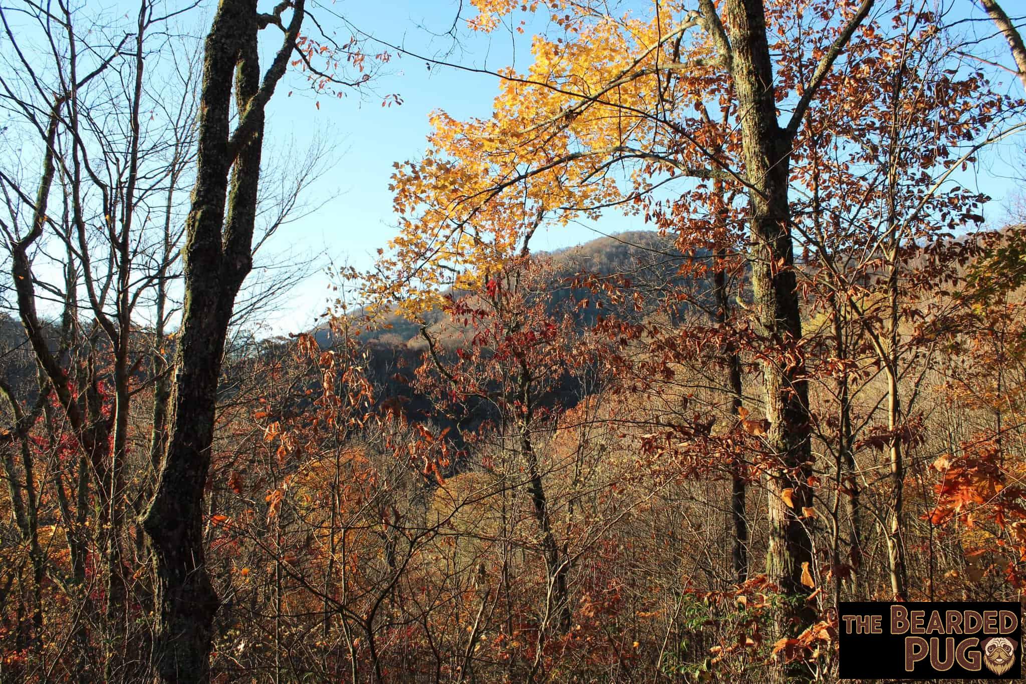
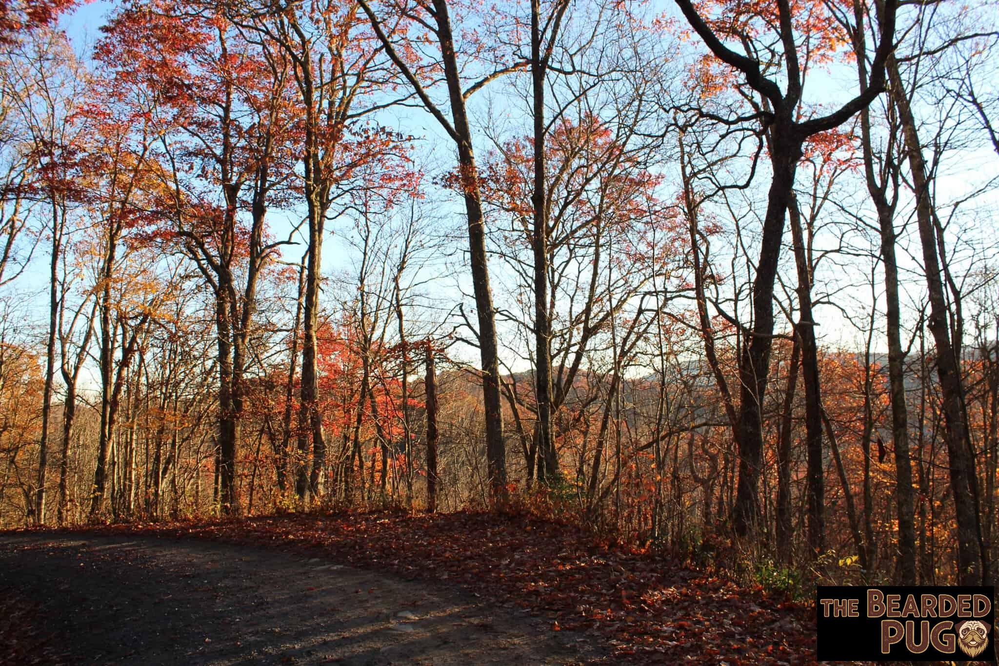
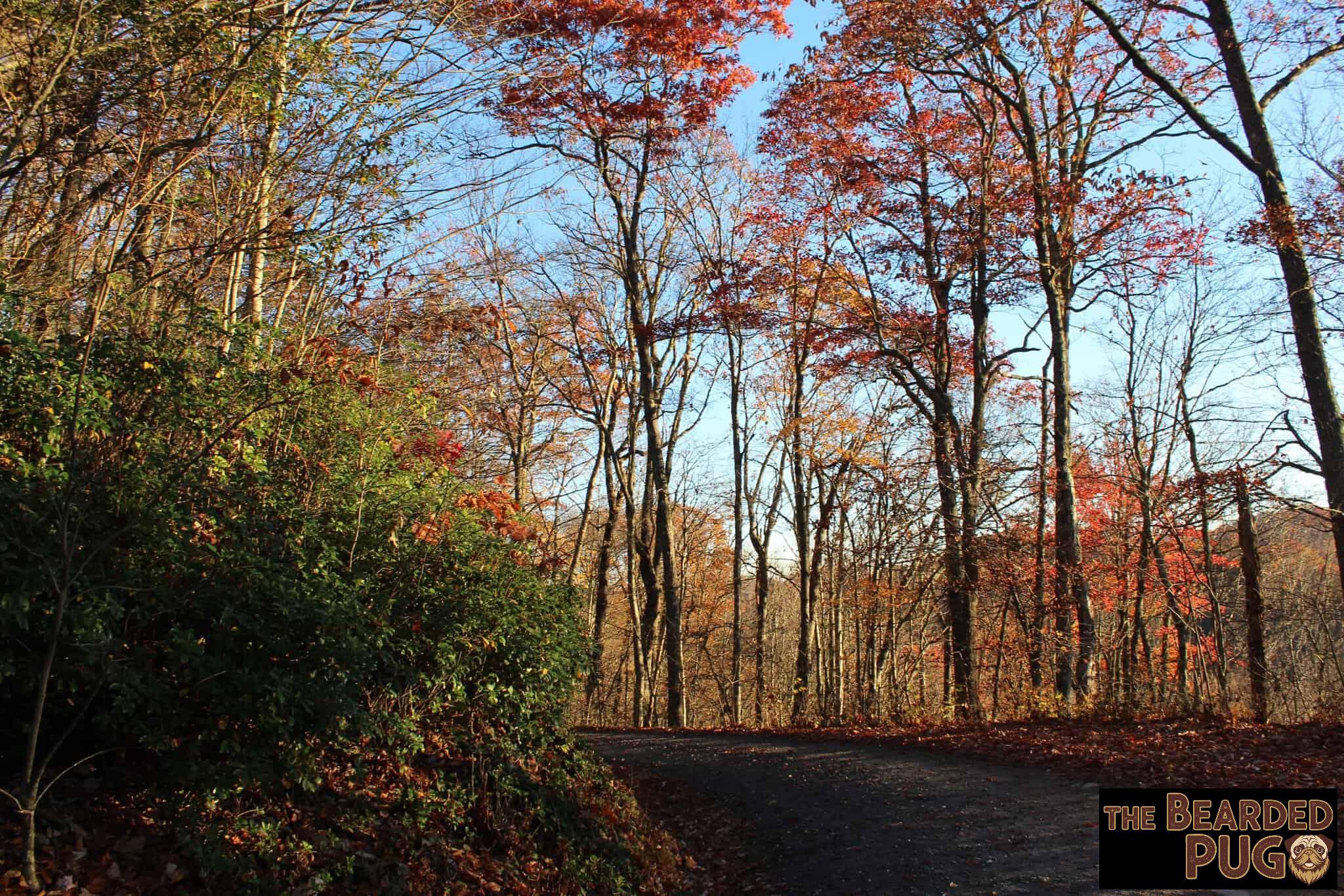
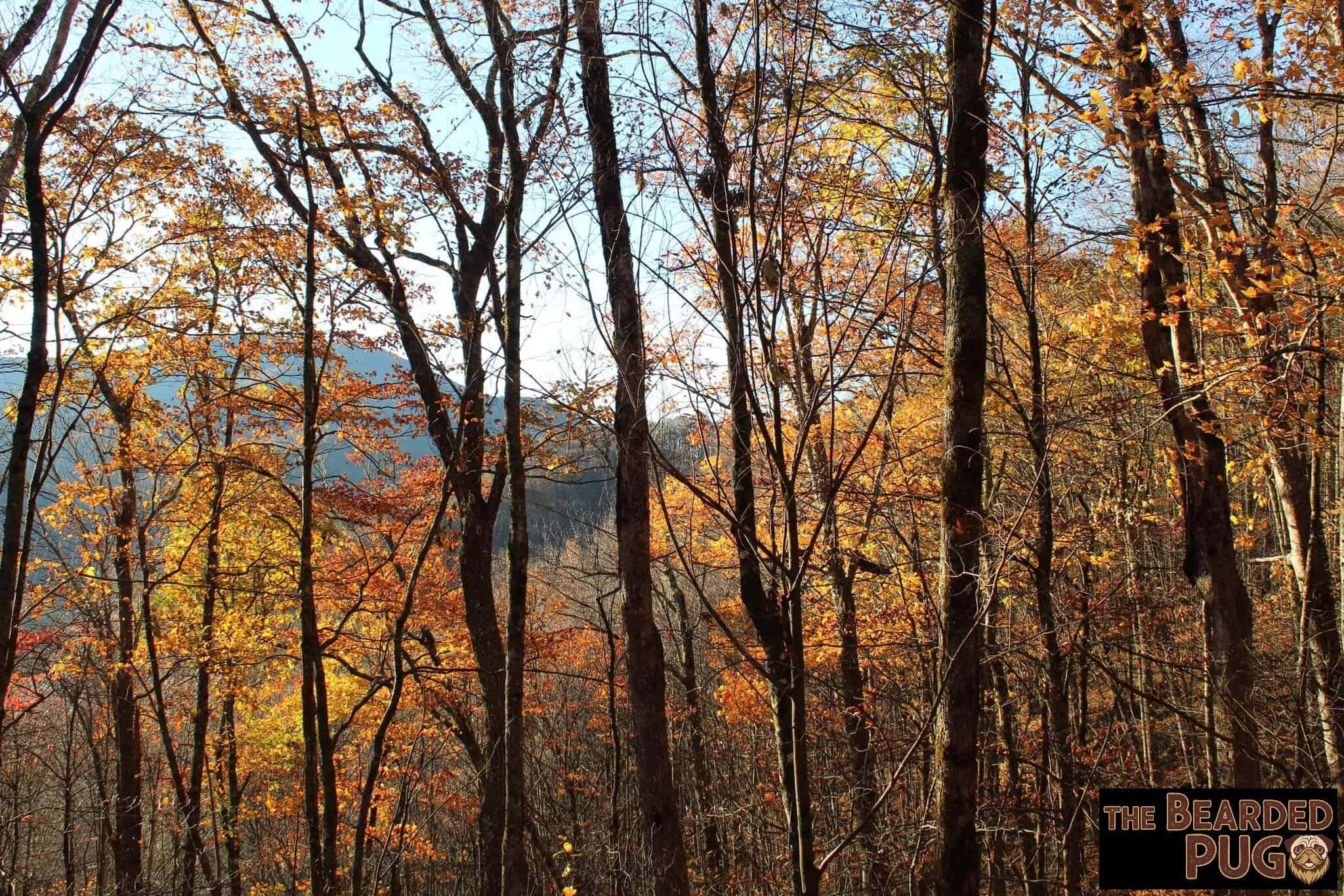
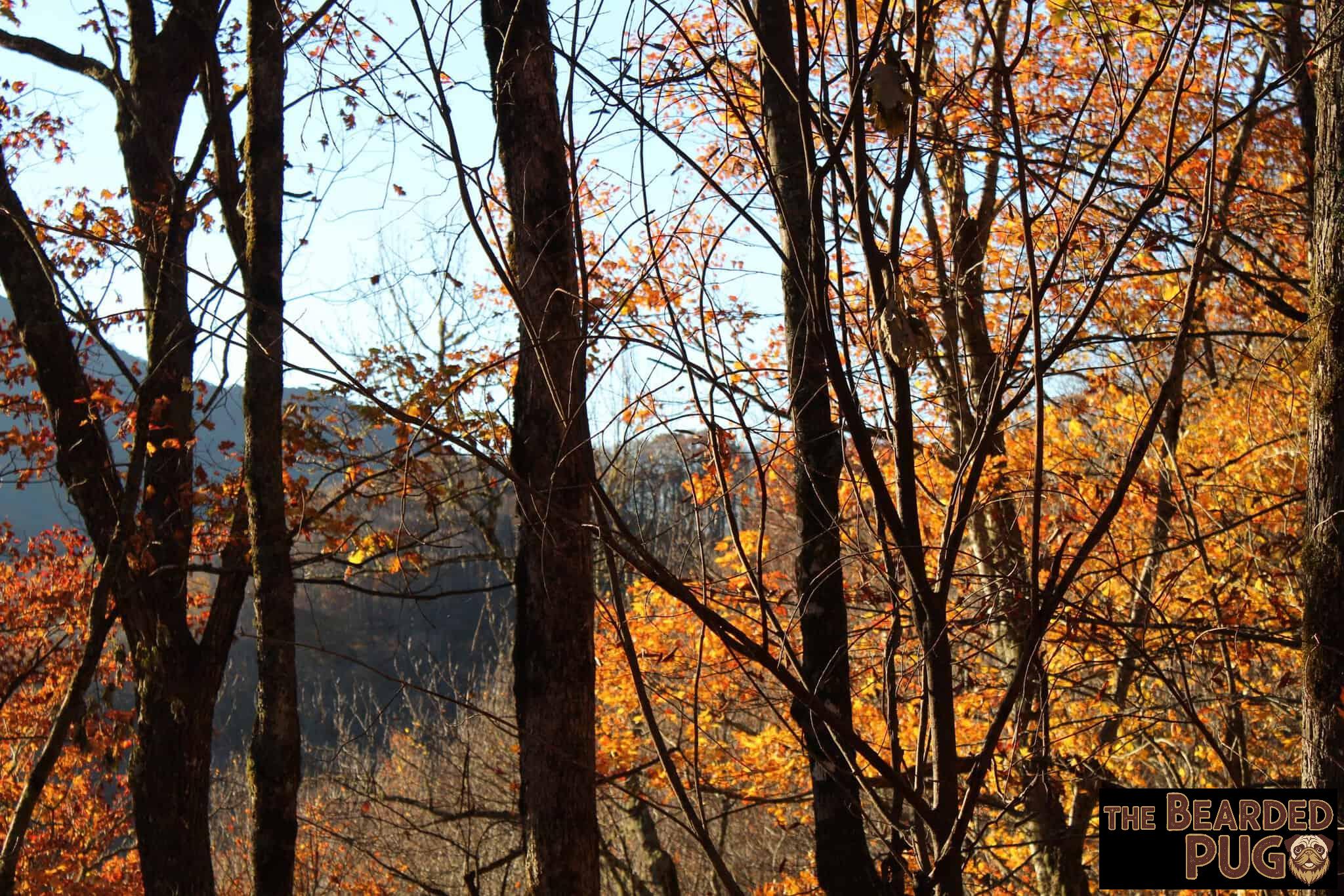
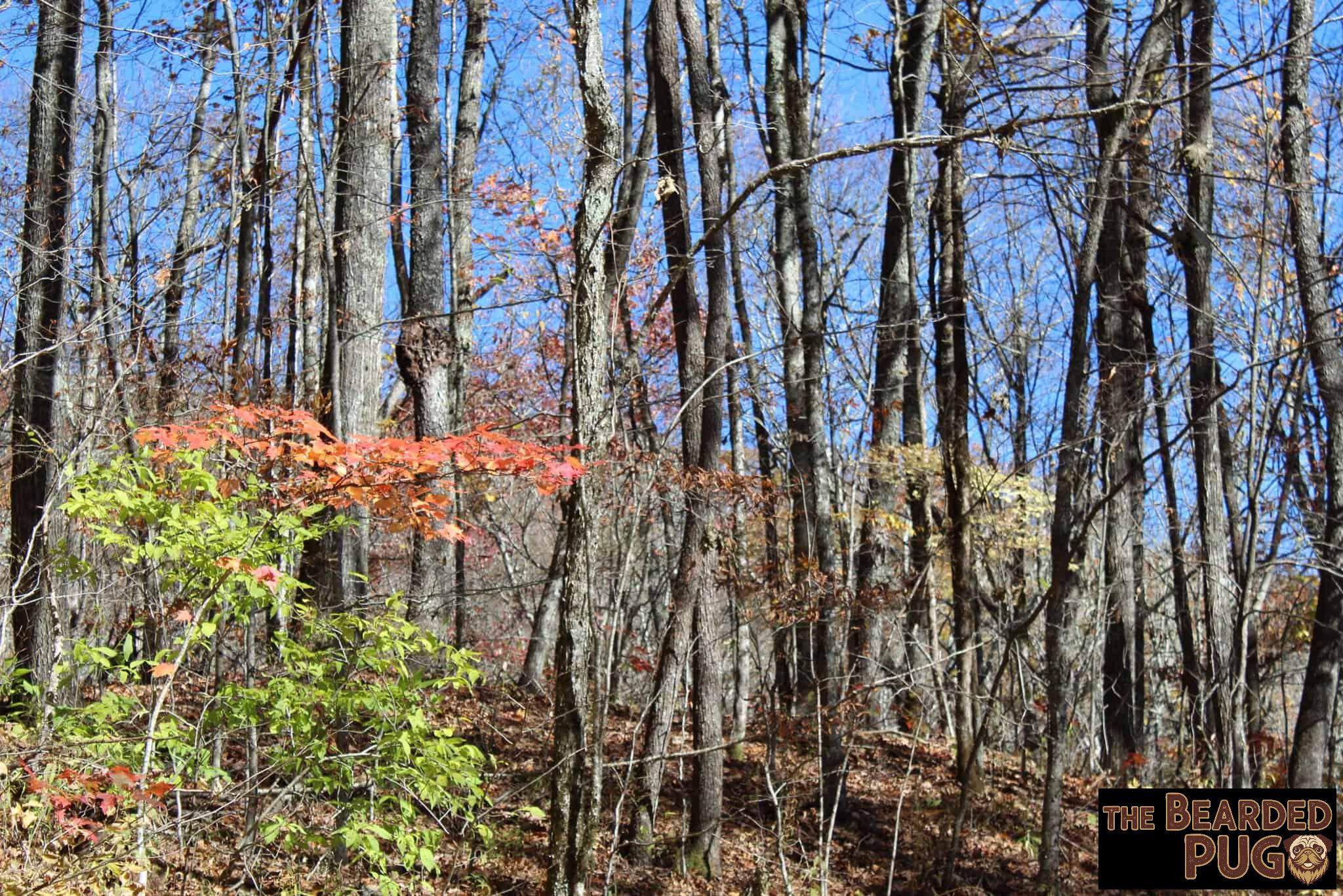
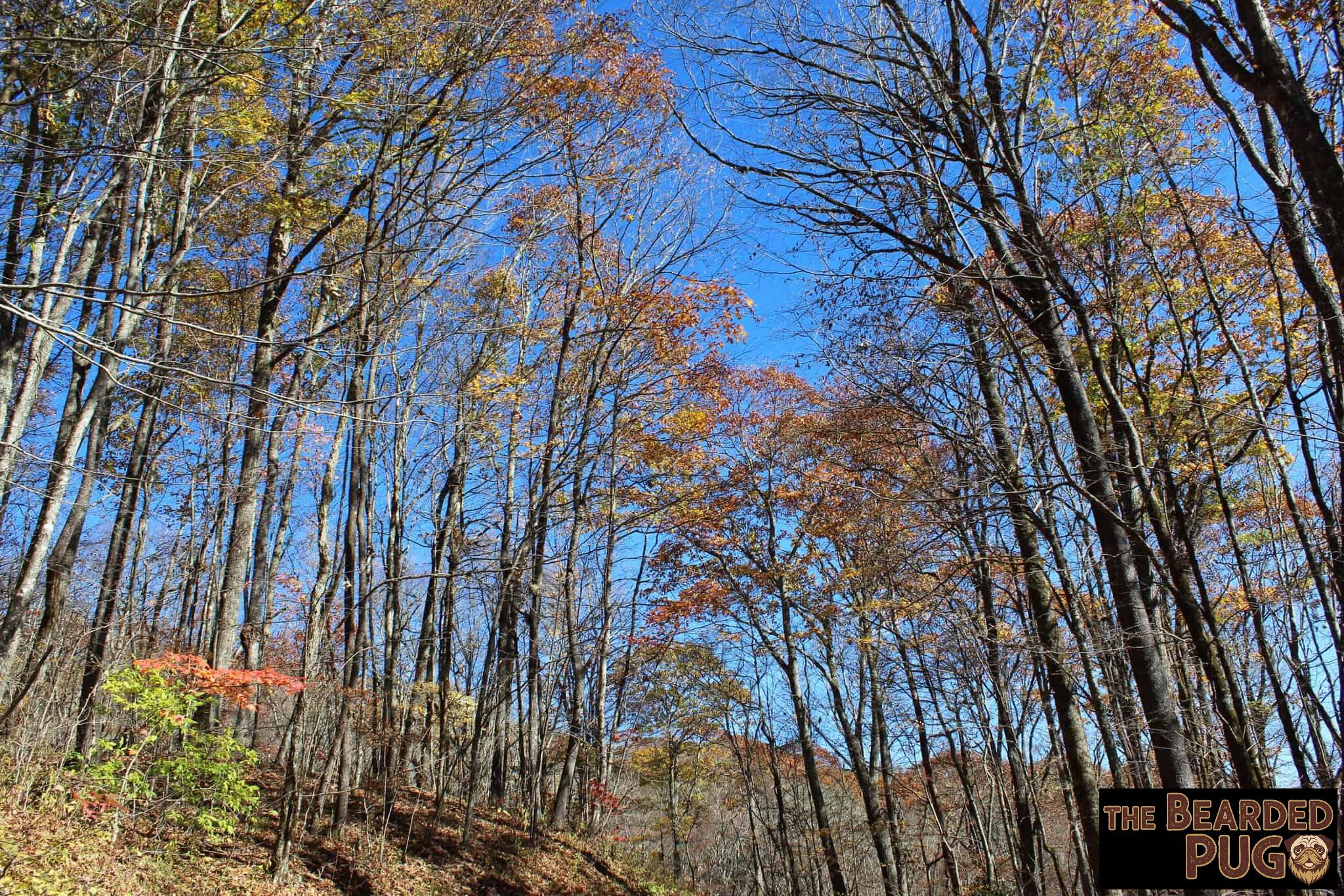
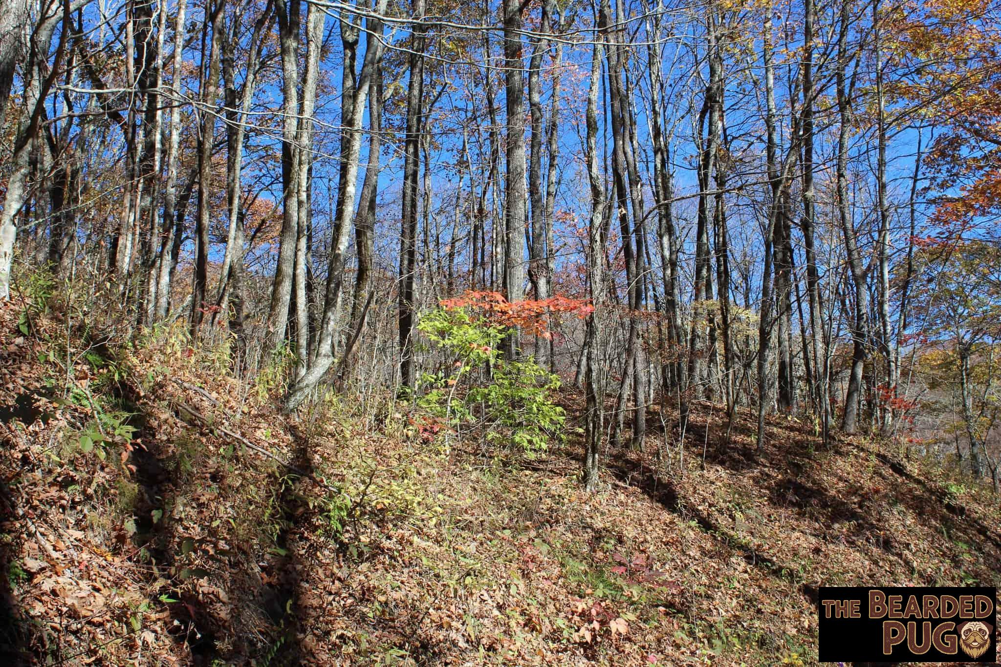
On the way up, though, I’d spotted something better: a spot where part of the mountain juts out, and you can pull a few meters off the road. We turned around and claimed it. It took some work to sweep a thick pile of dry leaves away from the fire pit, but the view? Priceless. 🤩

Wind, Fire & a Fading Sun
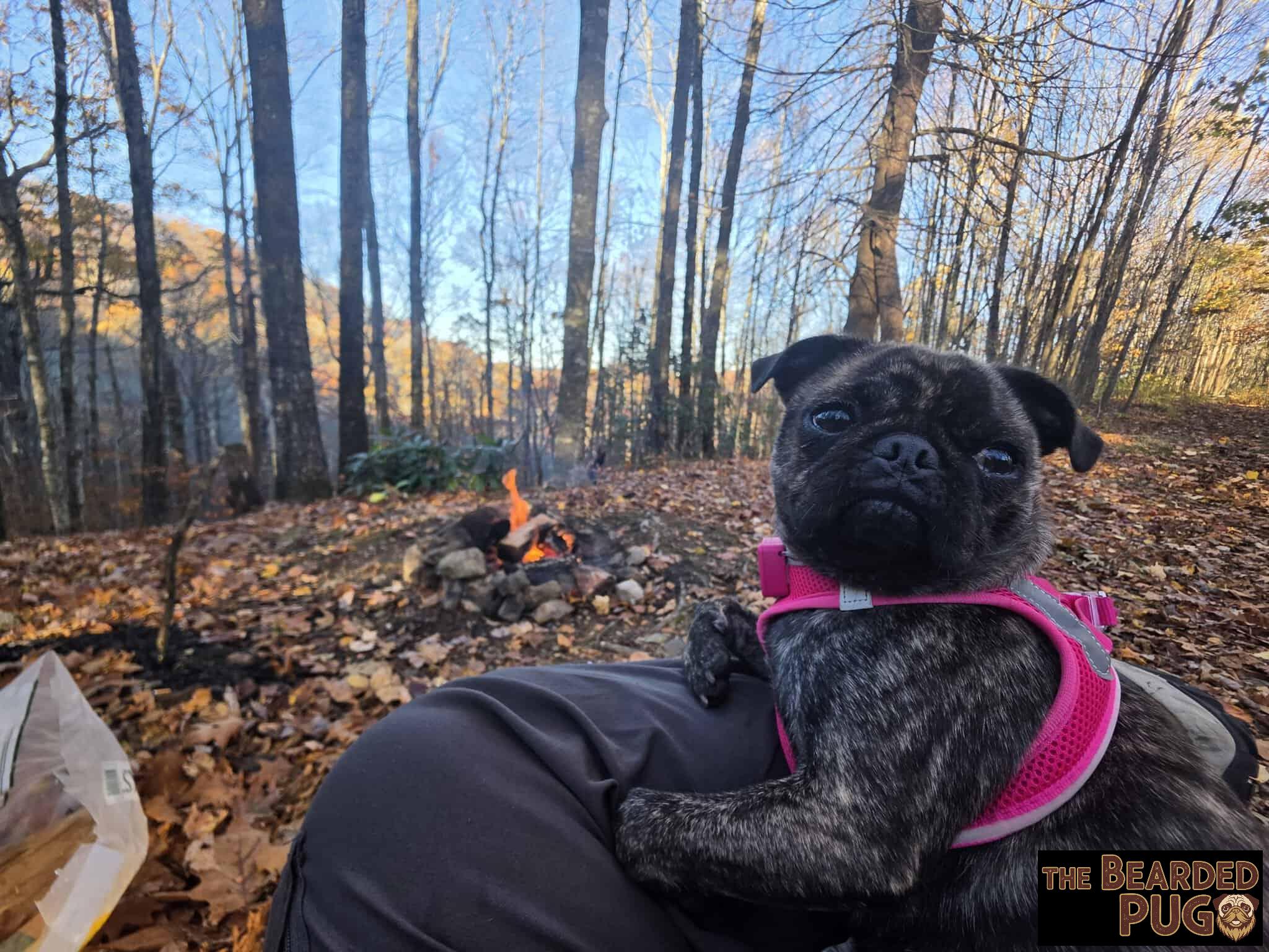
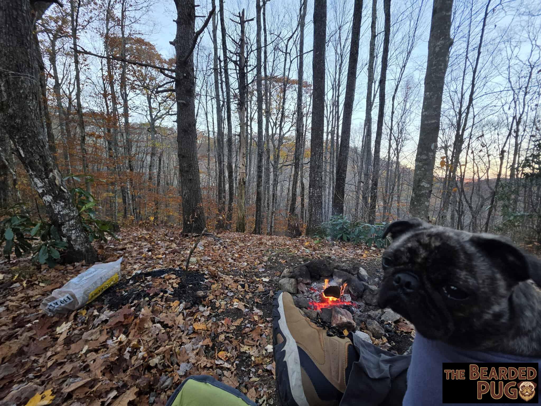
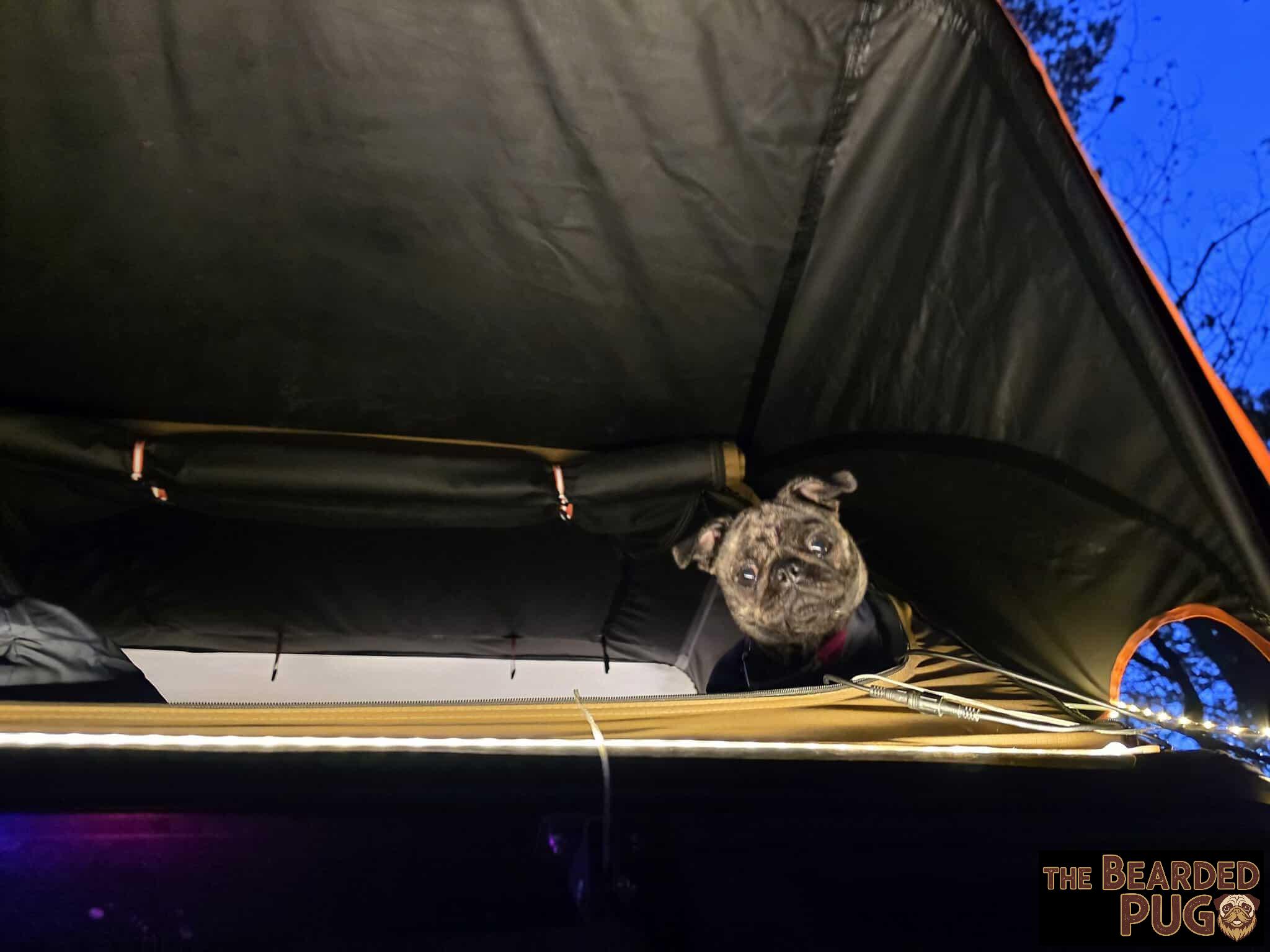
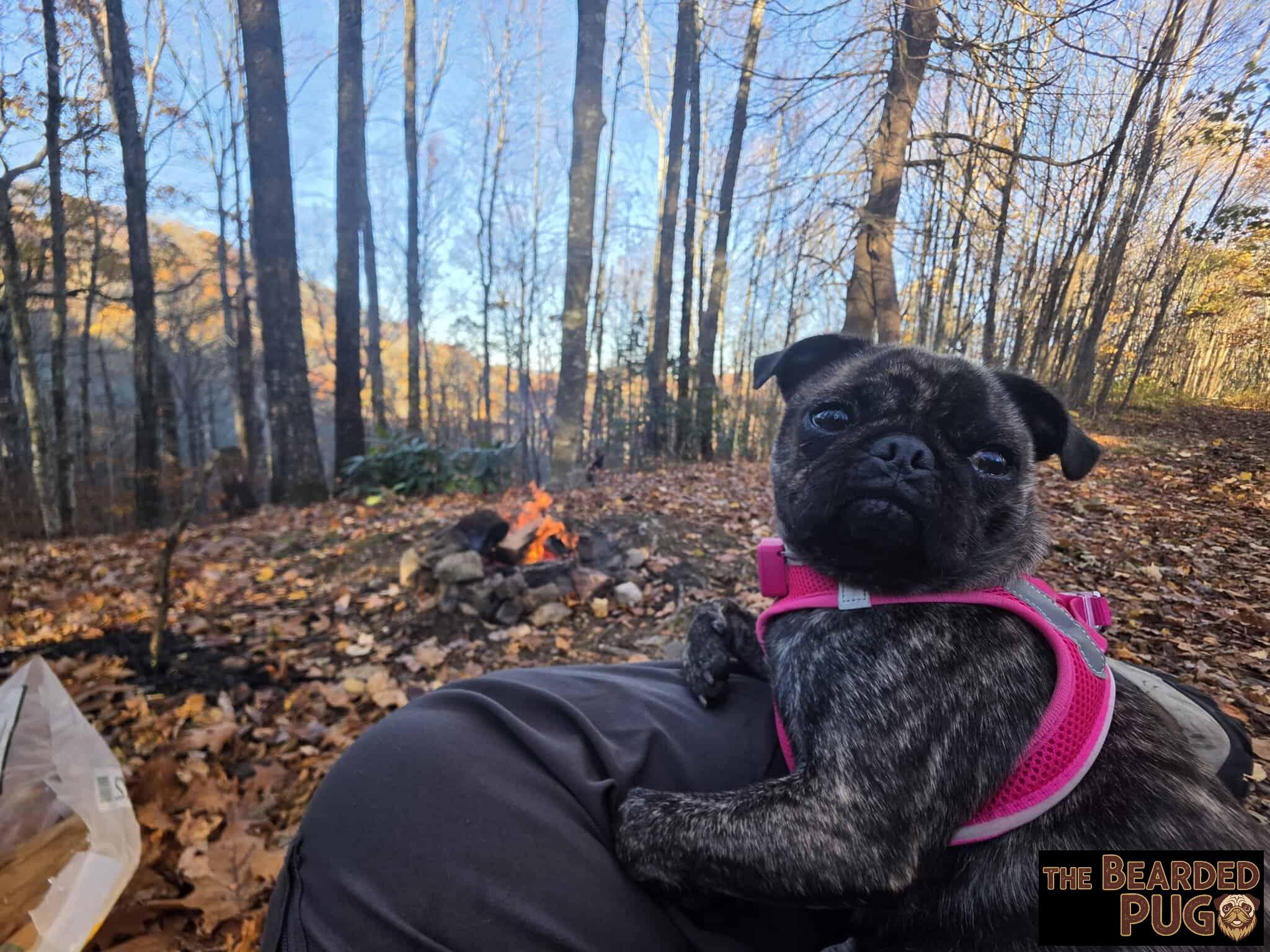
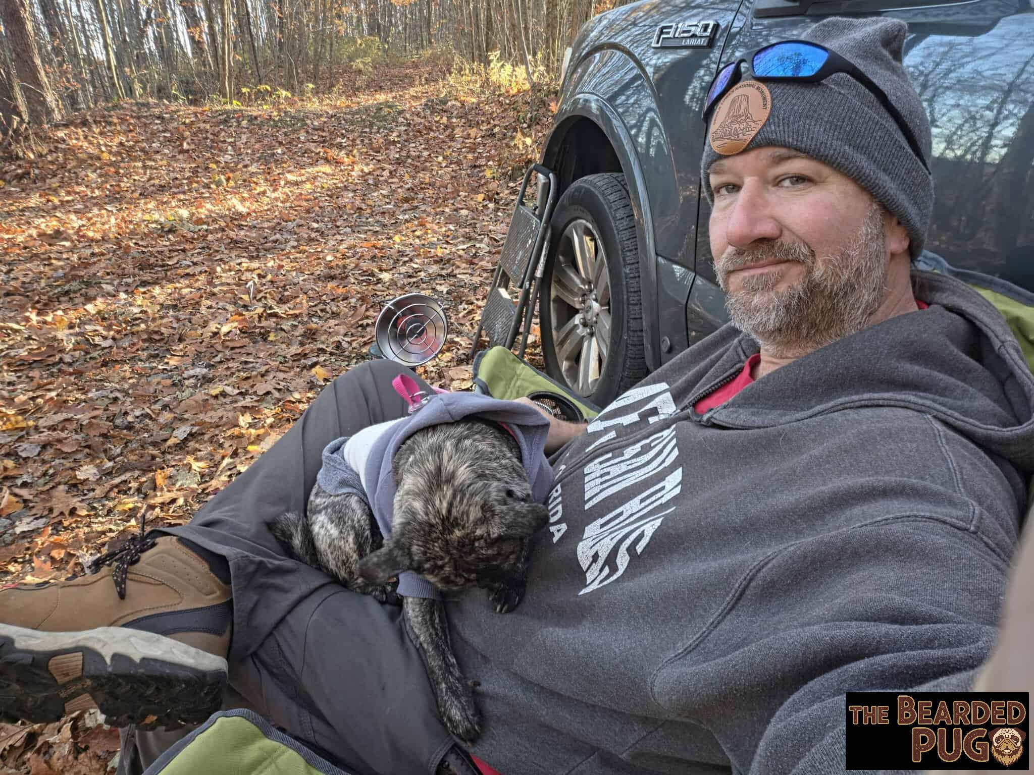
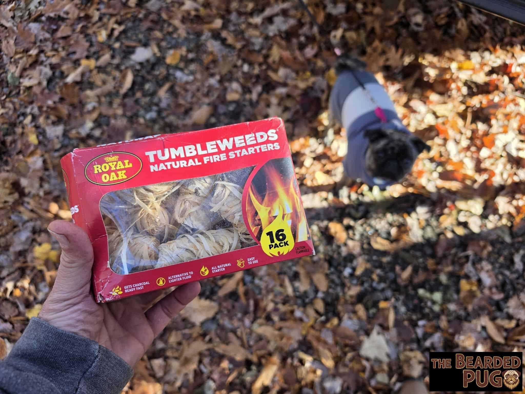
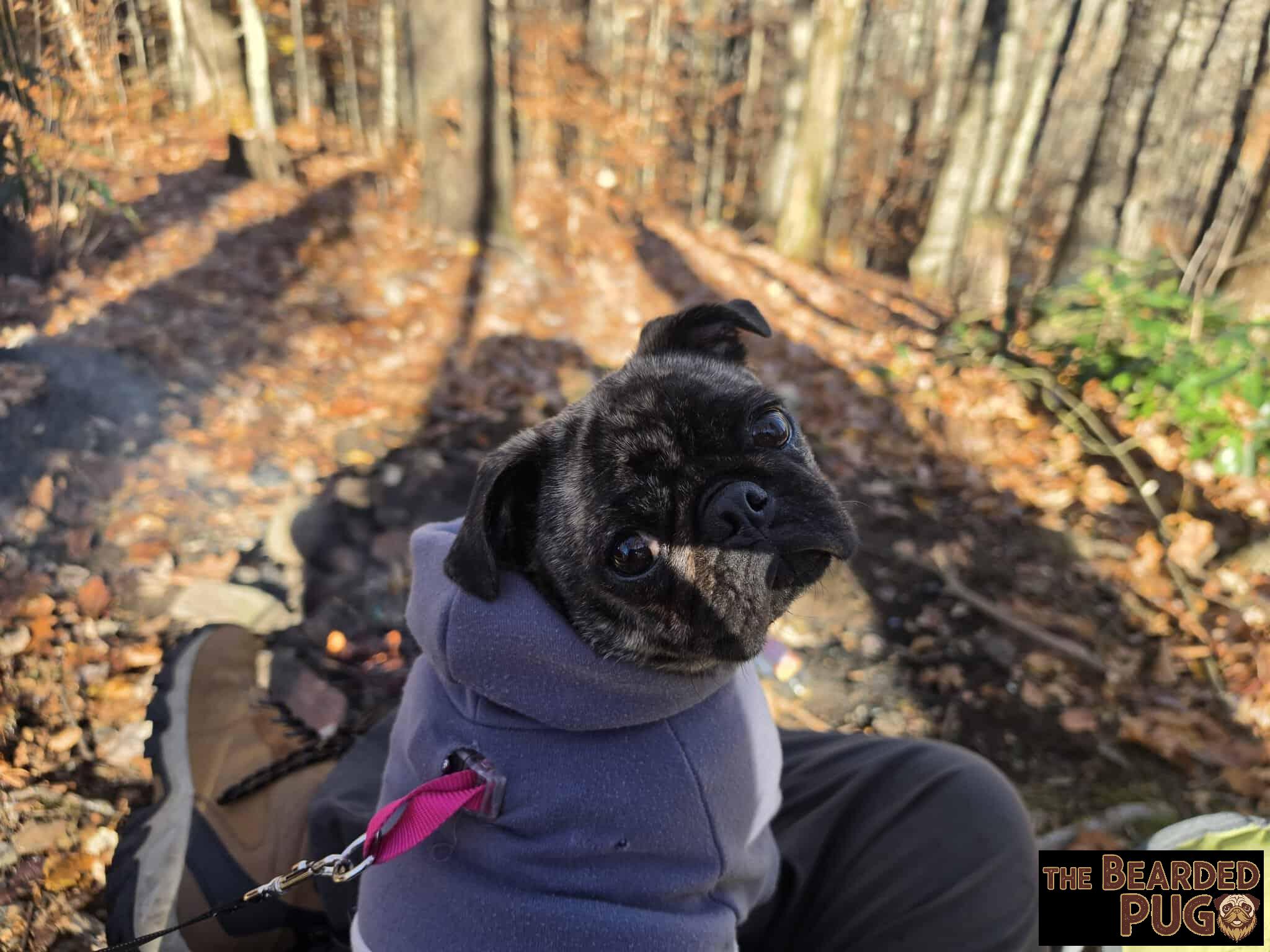
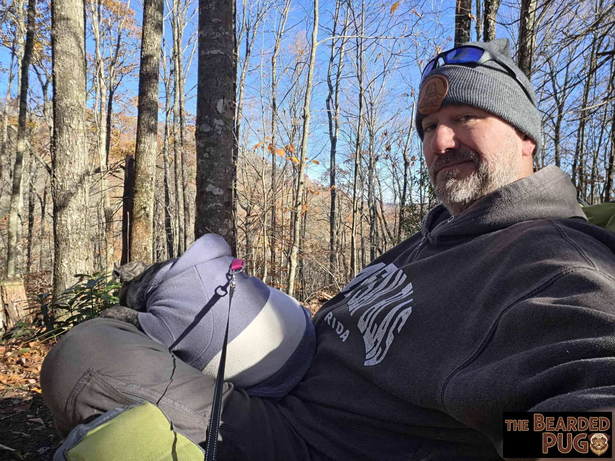
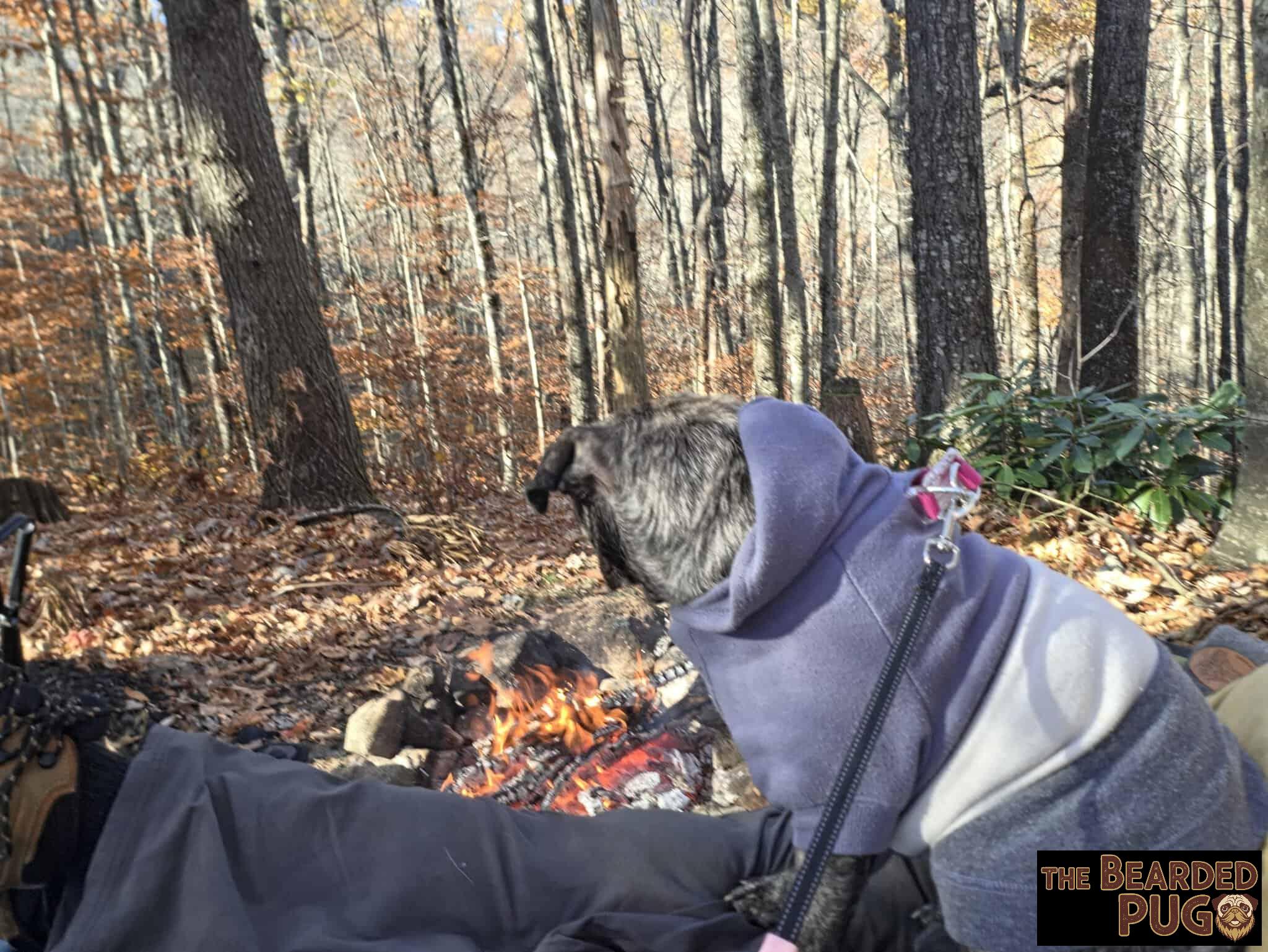
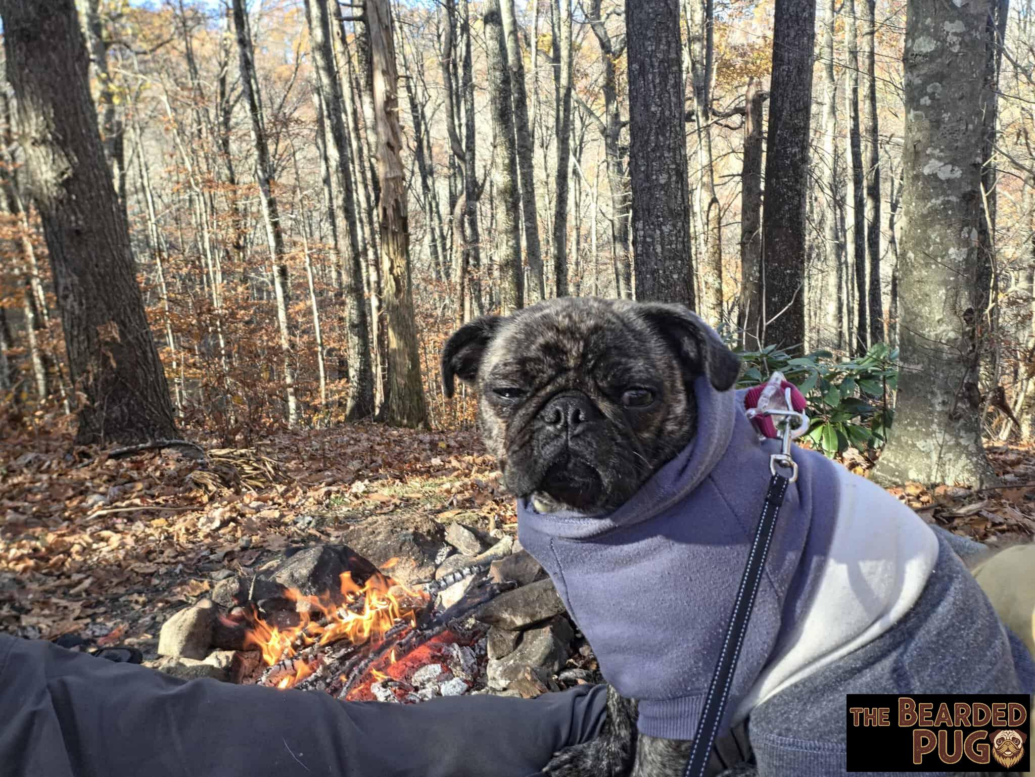
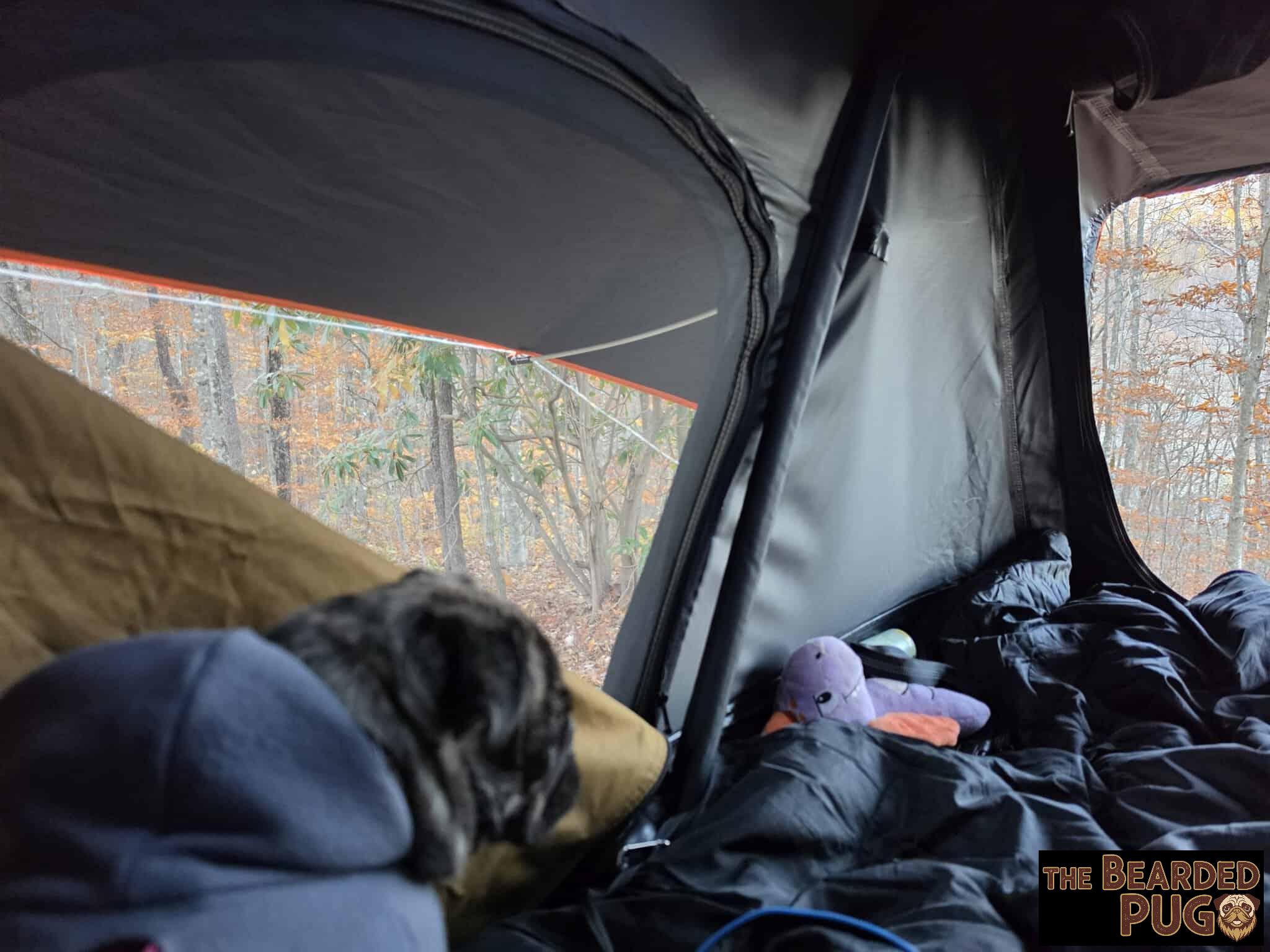
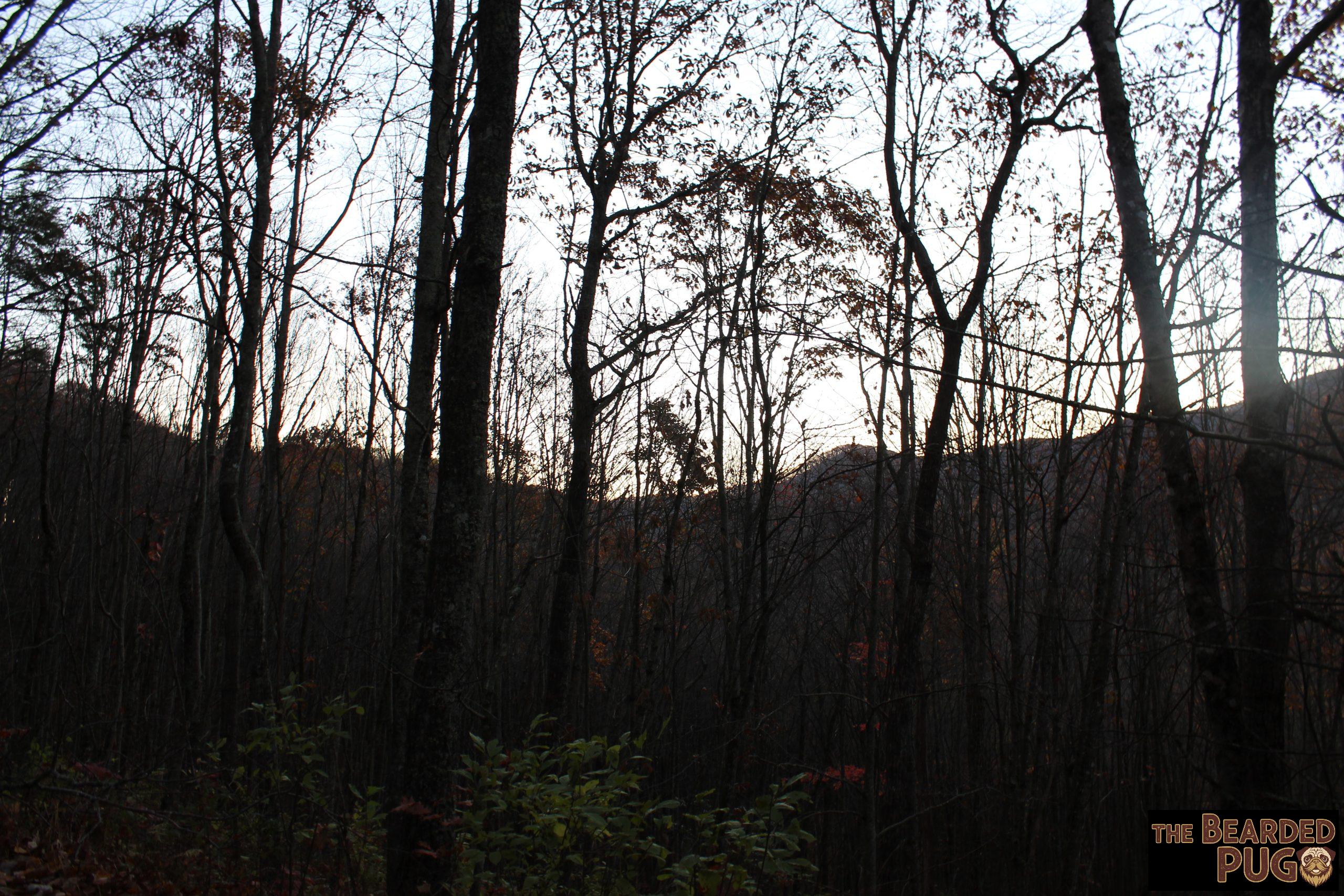
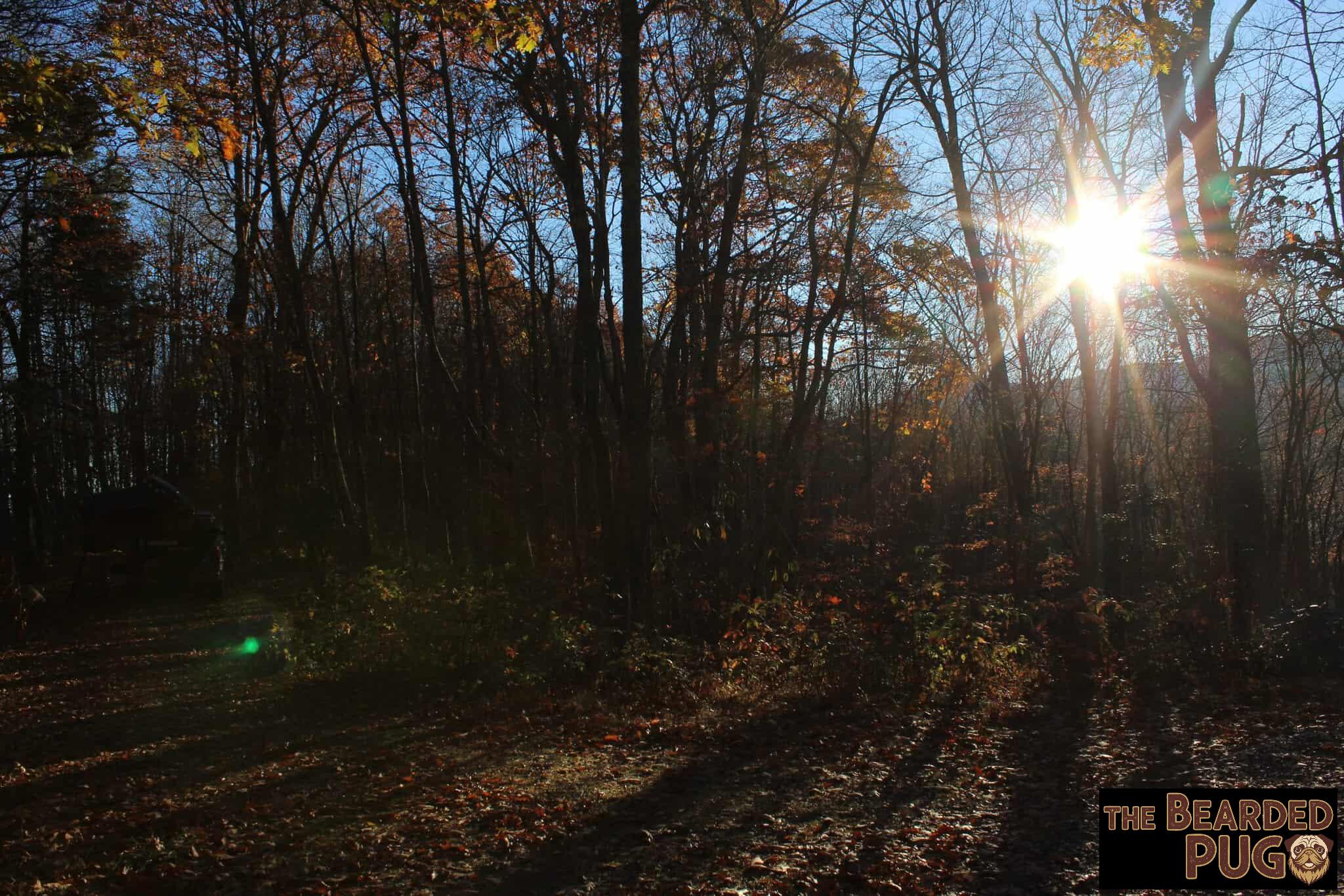
It was windy from the moment we arrived until evening. We built a fire, and Lola and I cuddled up next to it to watch the sun drop behind the ridges. Once the fire burned down, I turned on the camp lights and we got ready for the tent.
We tried to get some campside chat videos too. I was sure I’d lost my tripod, but it turned up the next morning (of course it did).
A Sky Full of Stars ✨
The night was crystal clear so I opened the sunroof on the tent, and the stars were unreal. My dim LED lights usually get left on overnight to keep curious critters away, but this time I couldn’t resist. I switched everything off because I wanted to see just the stars.
There’s something oddly comforting about sleeping next to a forest service road that leads to an A.T. shuttle point. Every set of headlights after dark had me picturing a worn-out thru-hiker finally getting a ride to a hot meal and a real bed.
Brisk Mornings & Missing Waterfalls
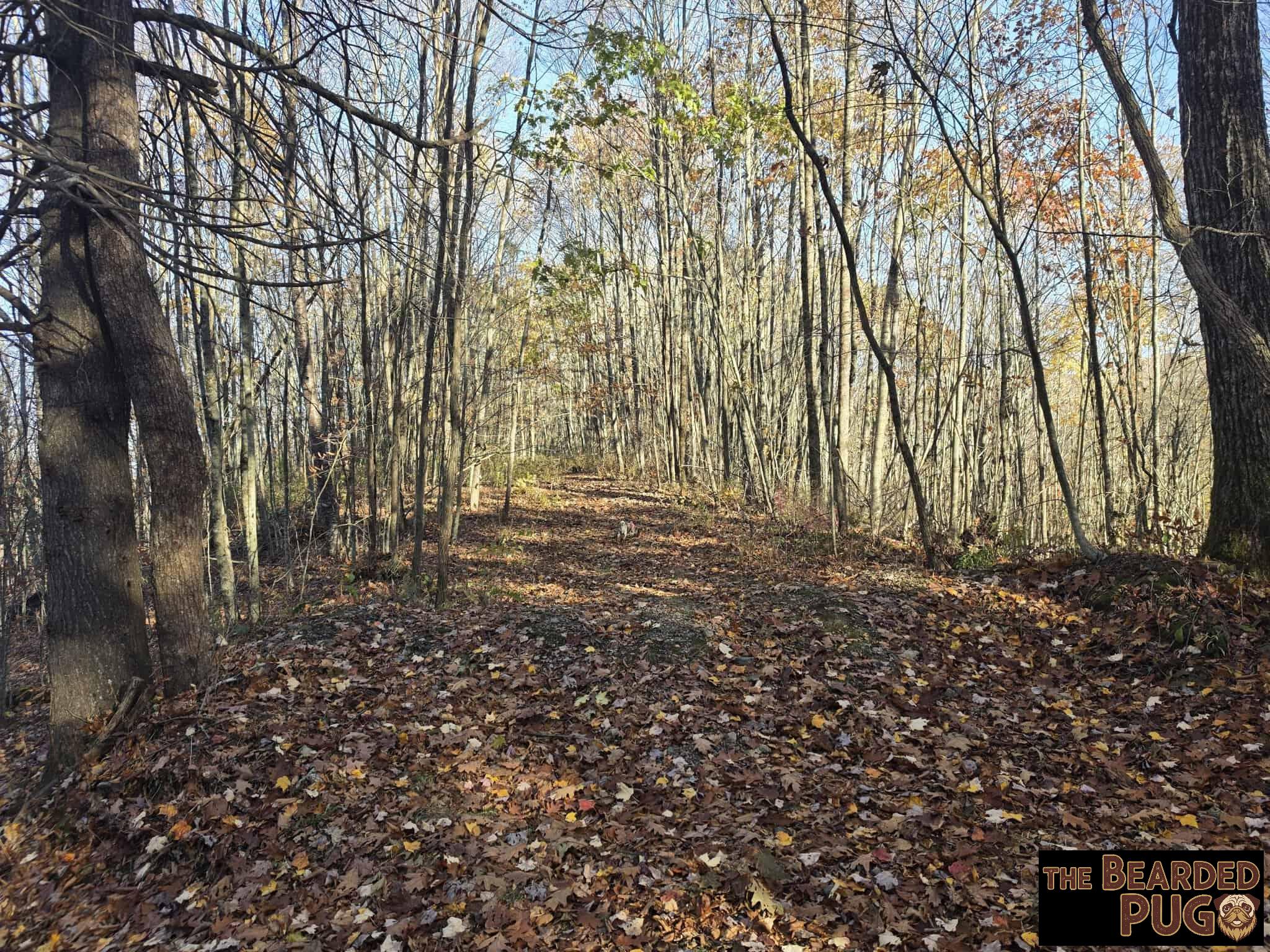
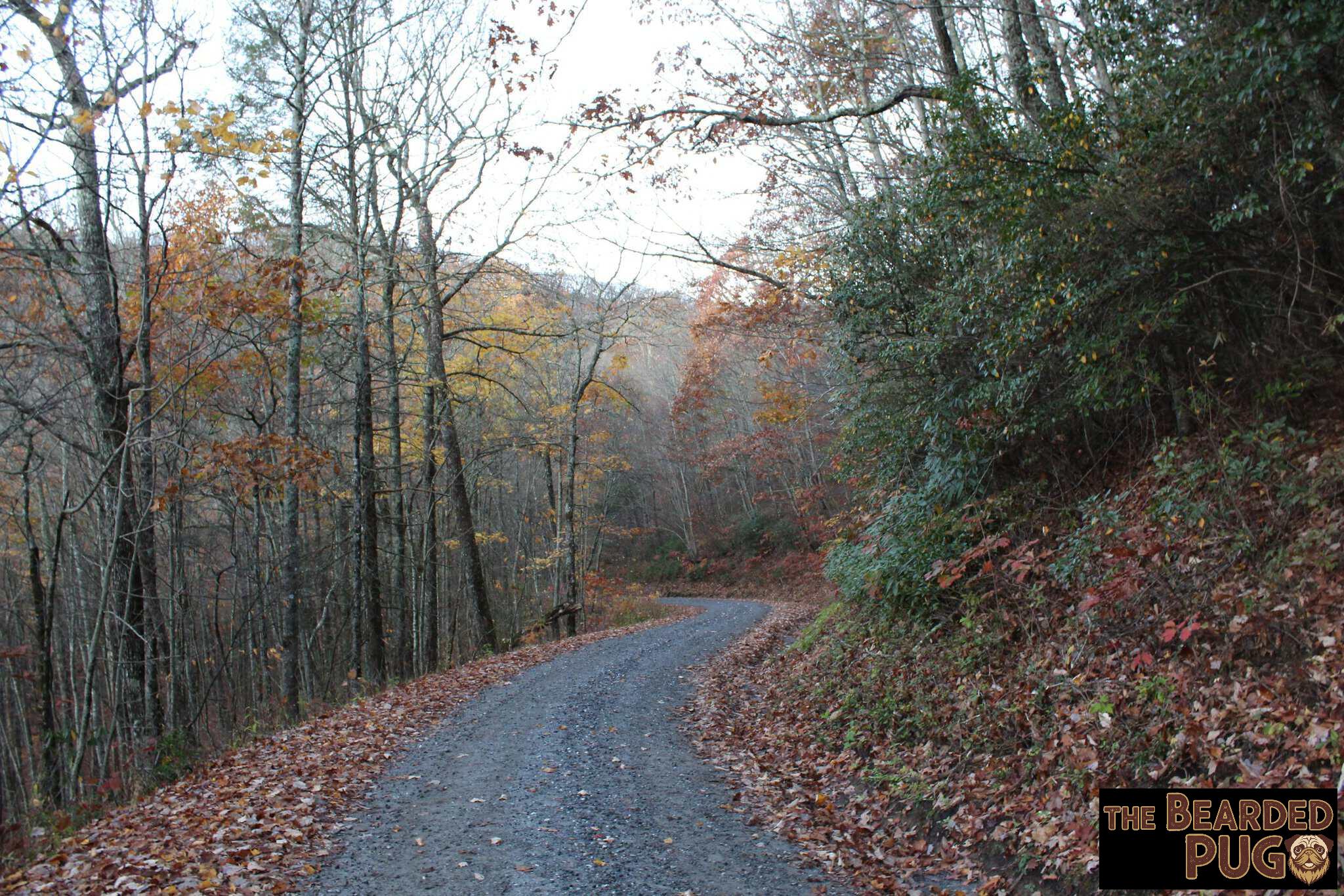
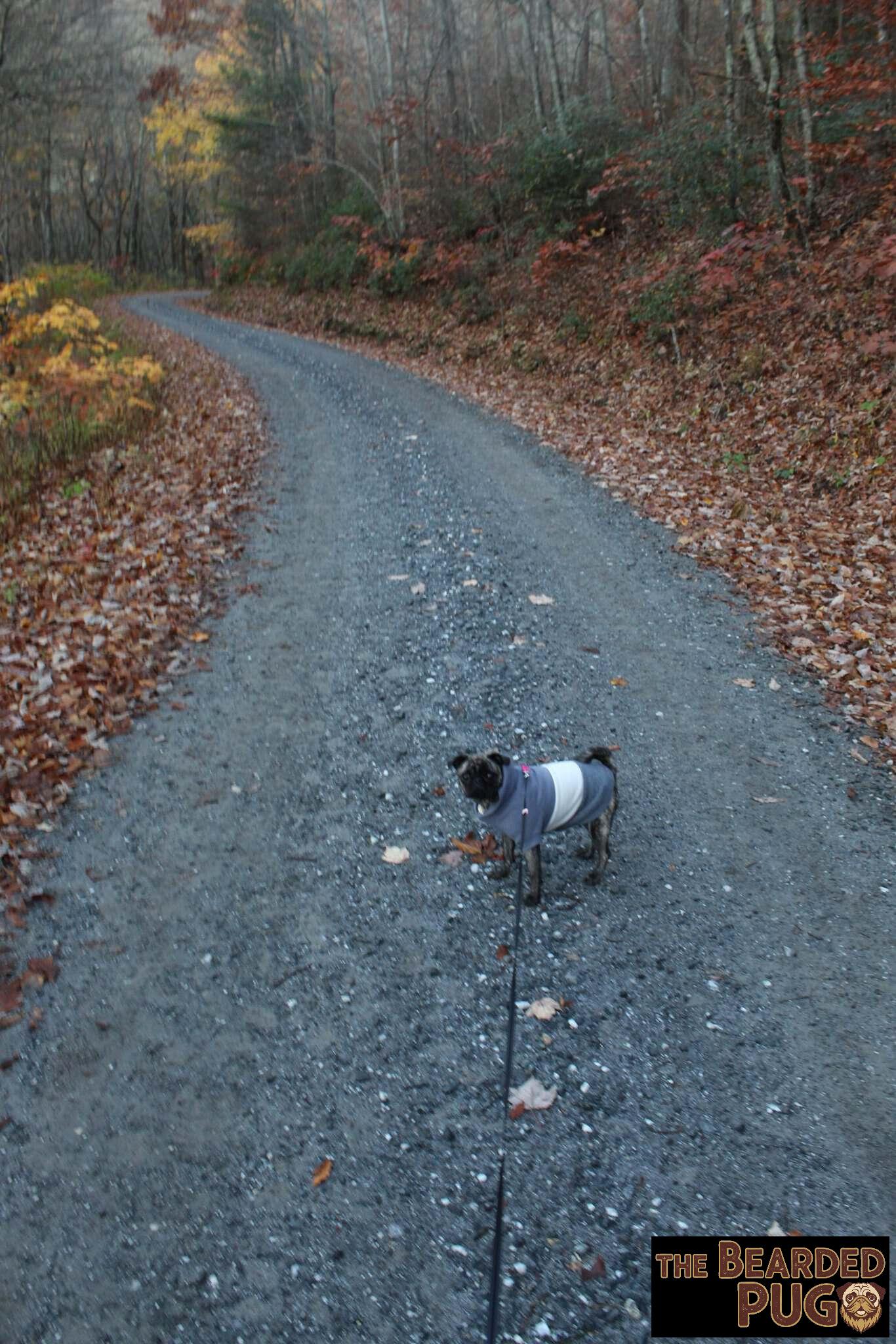
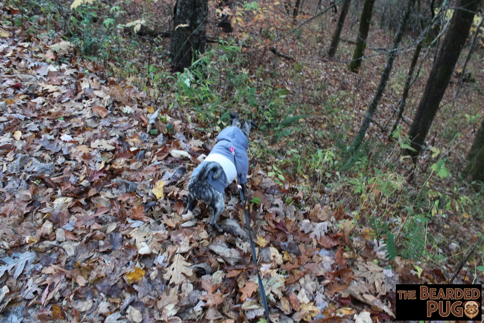
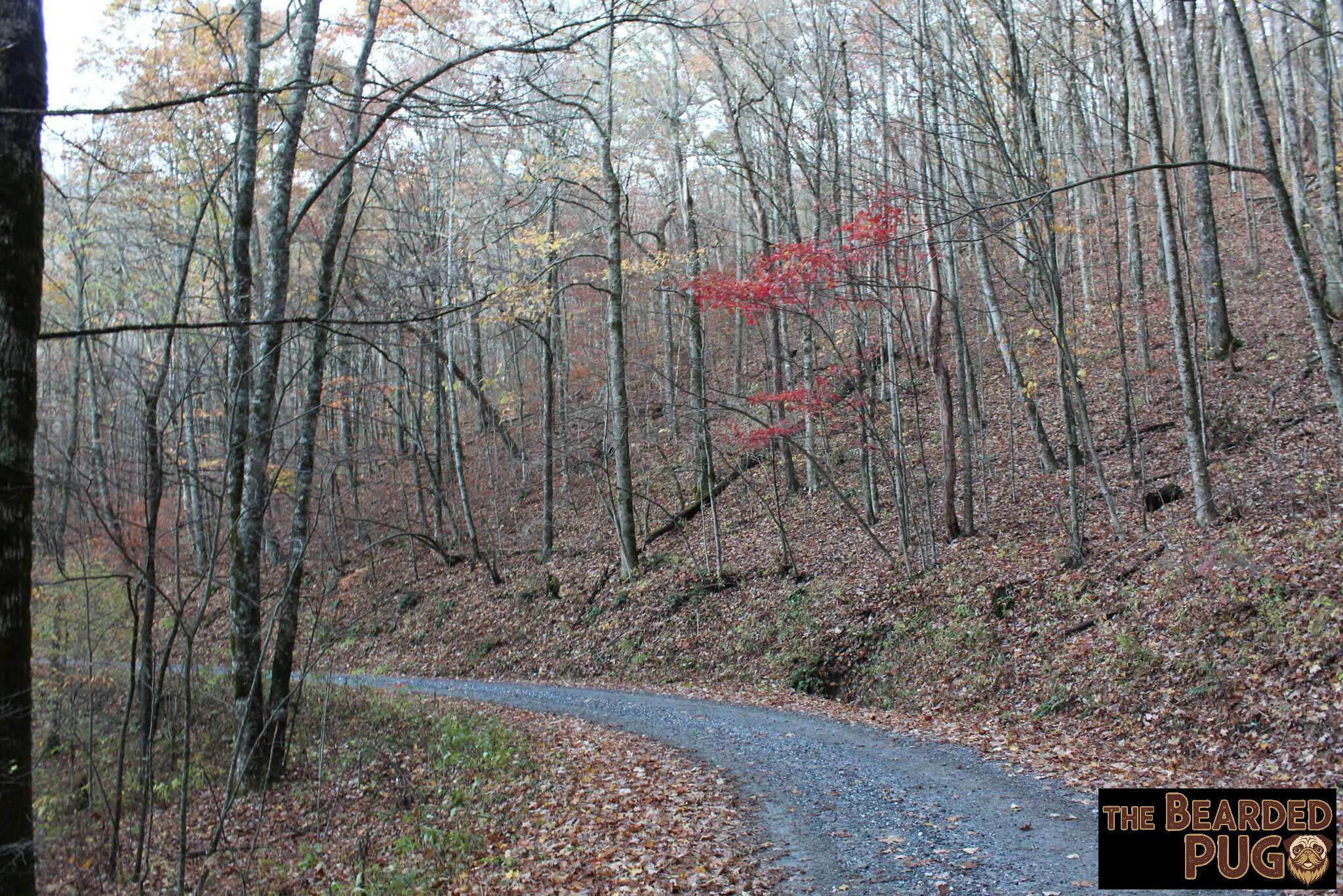
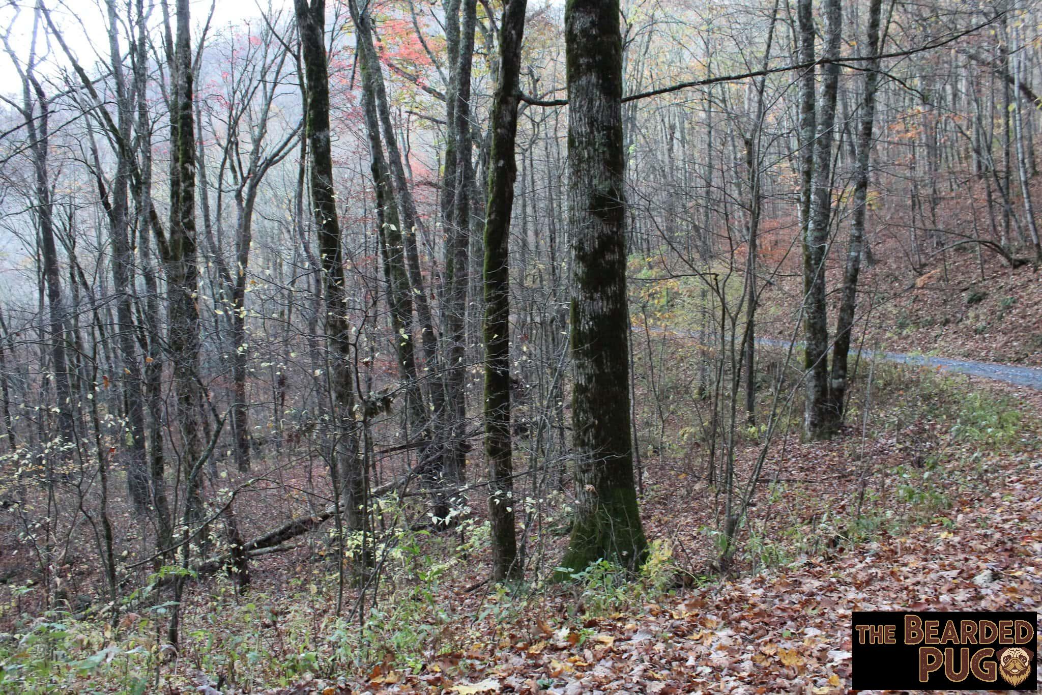
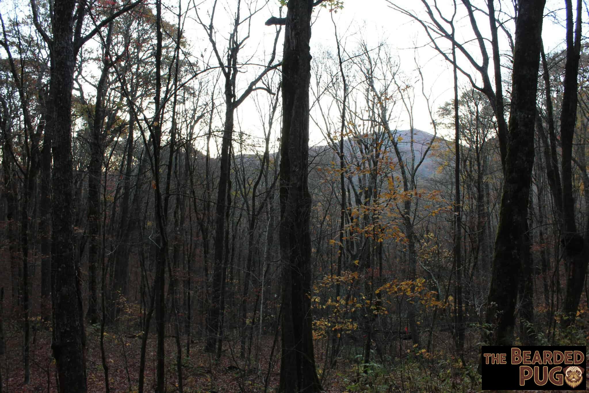
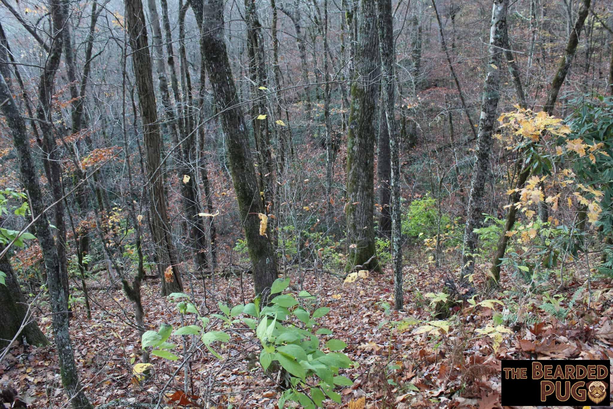
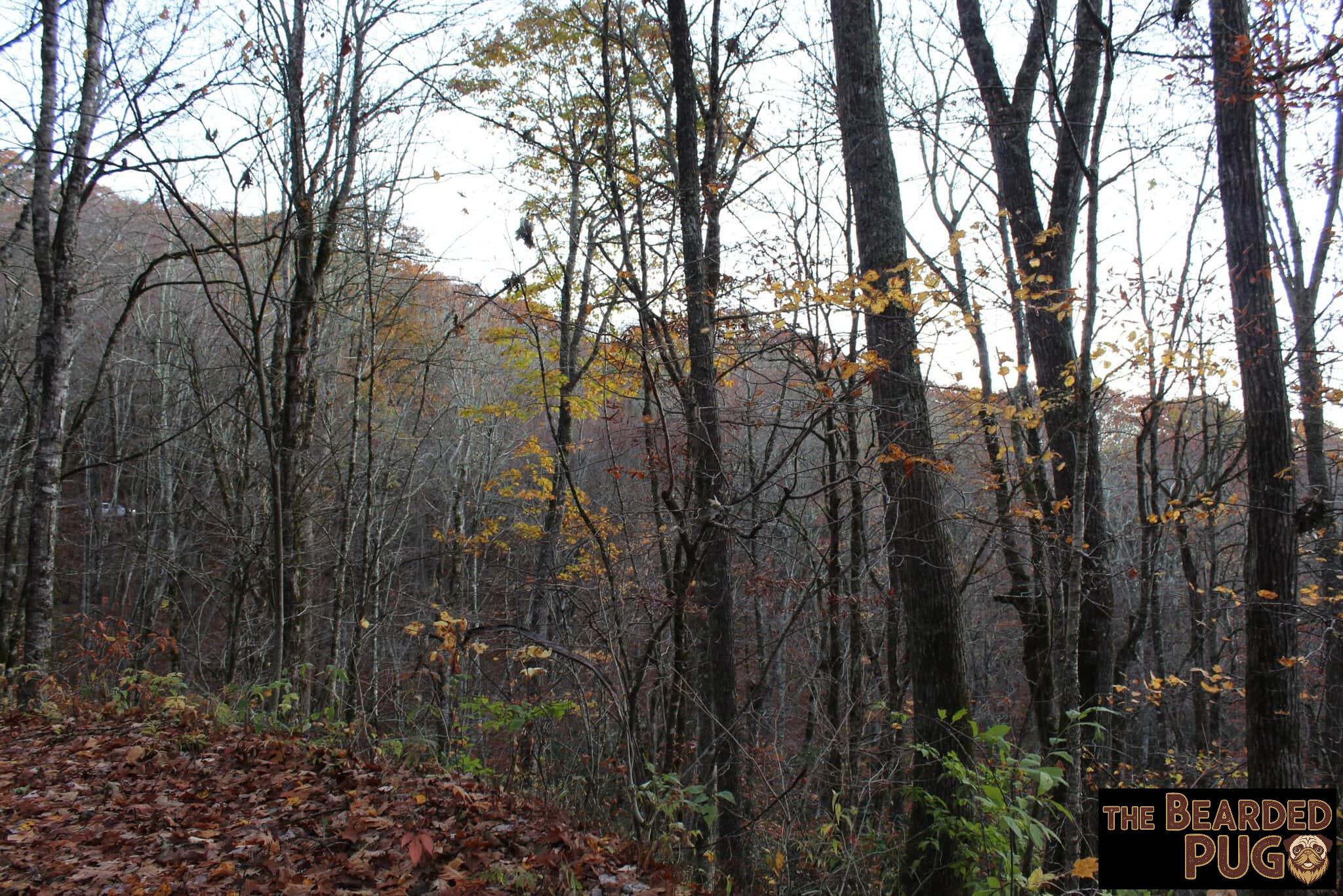
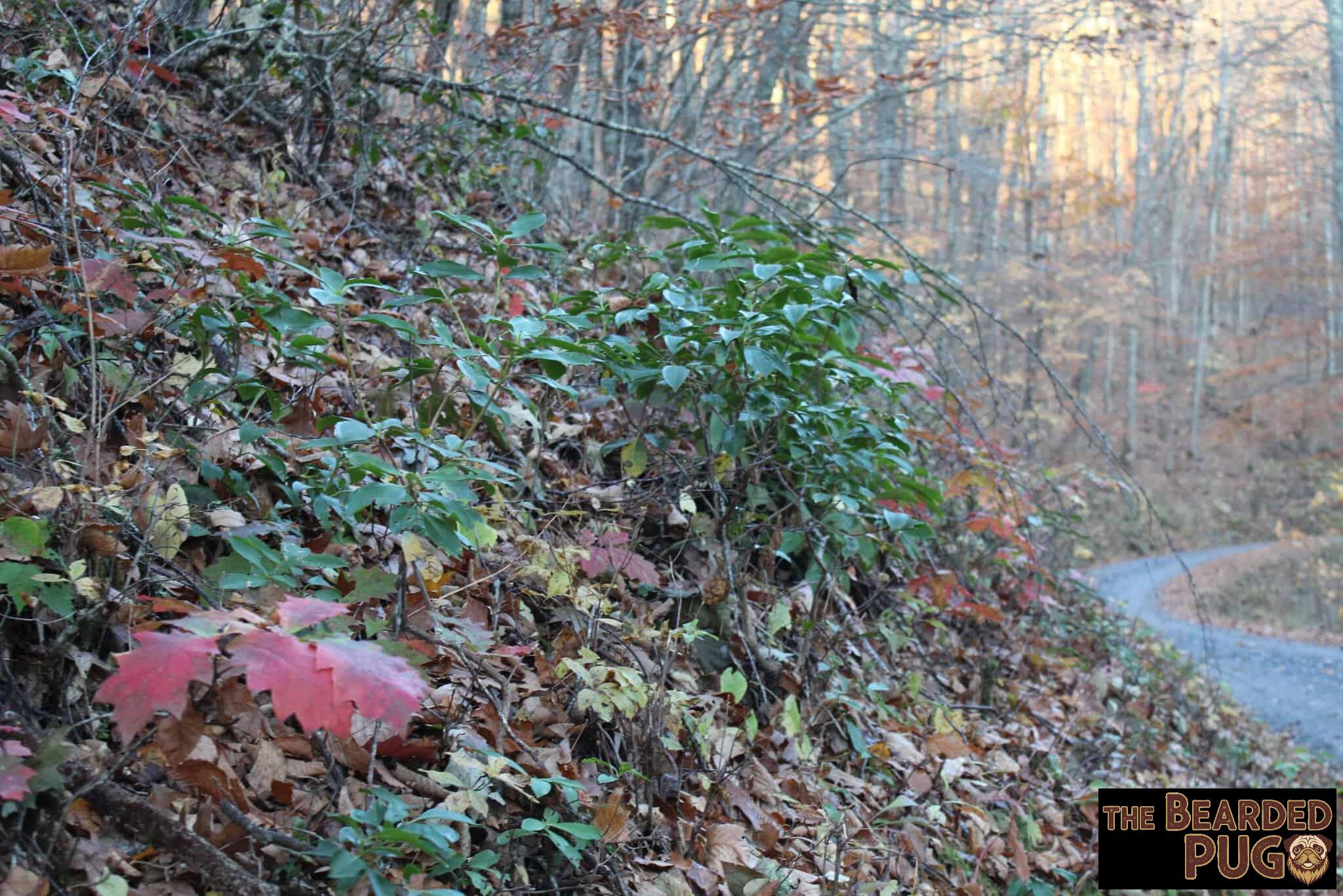
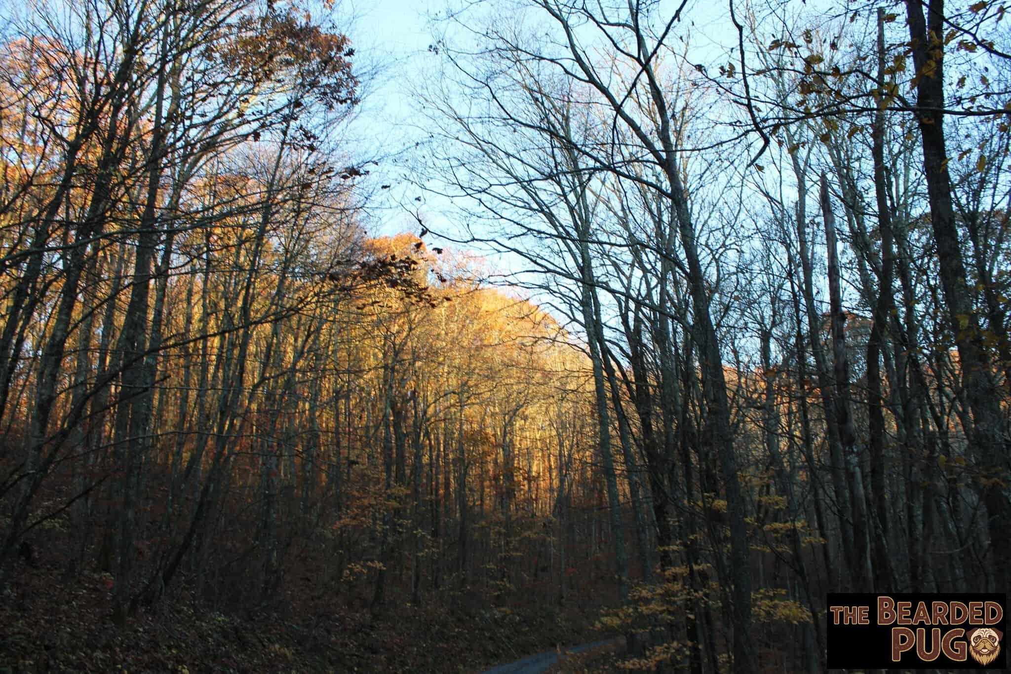
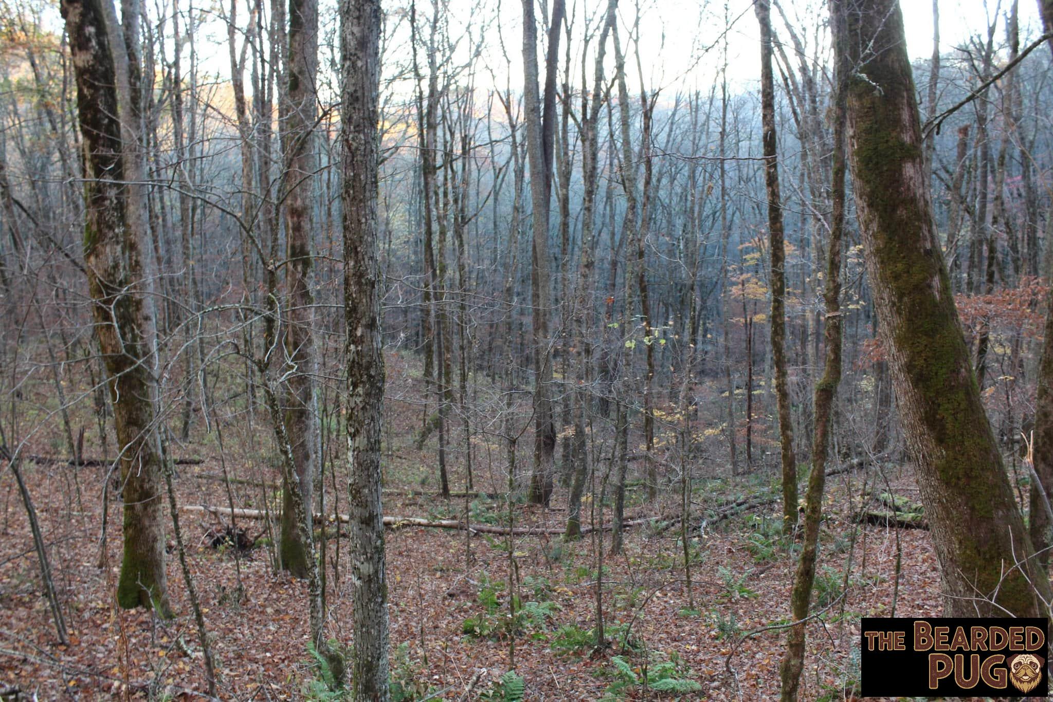
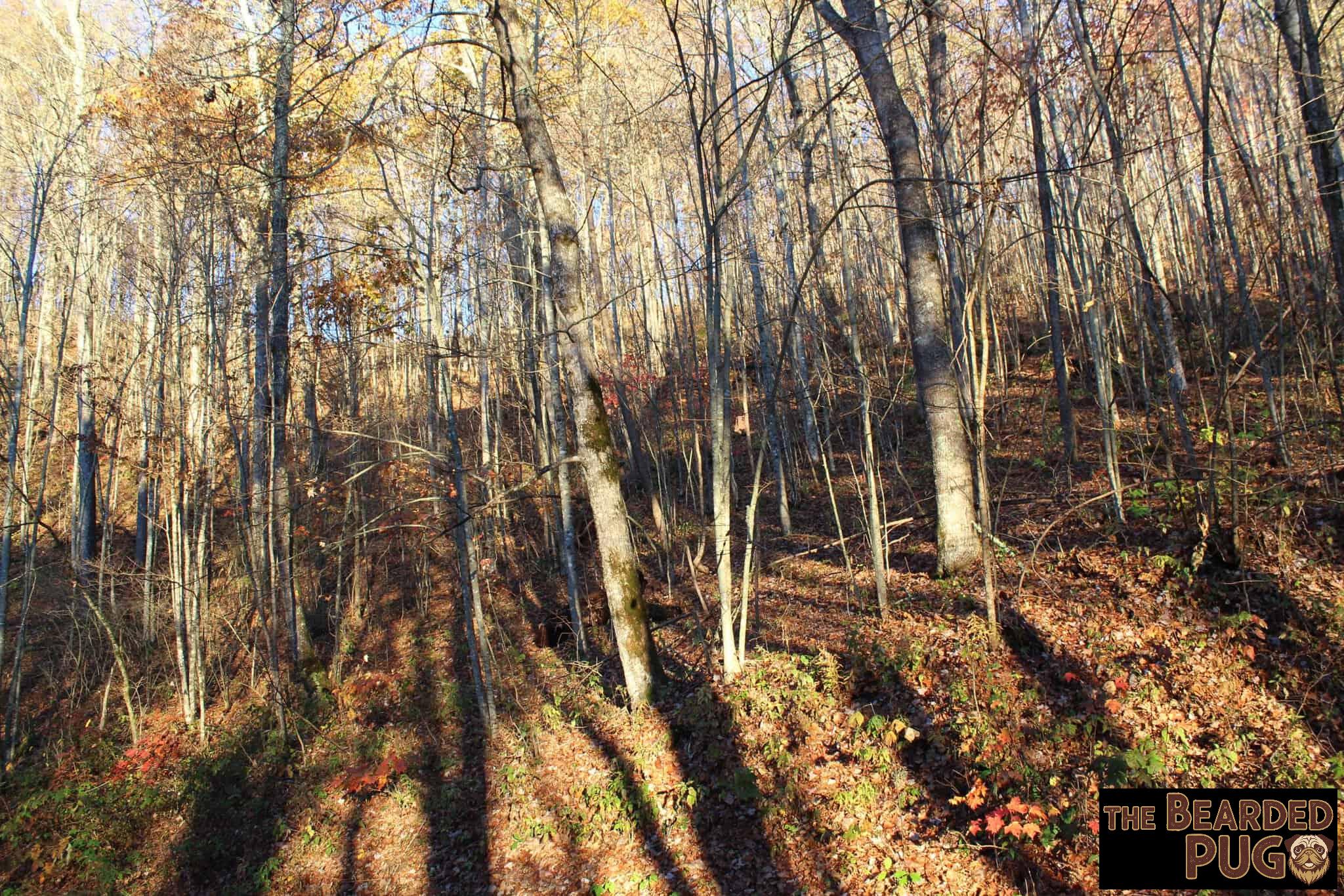
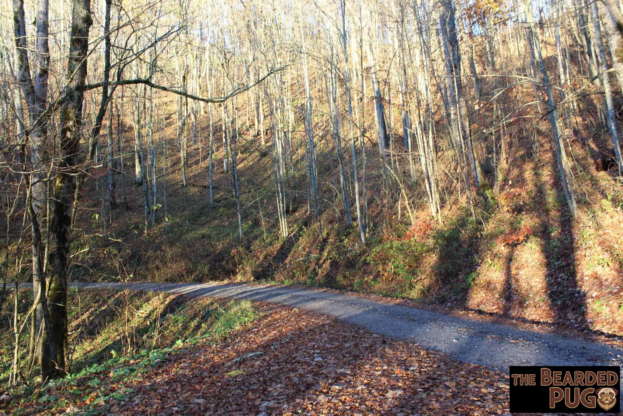
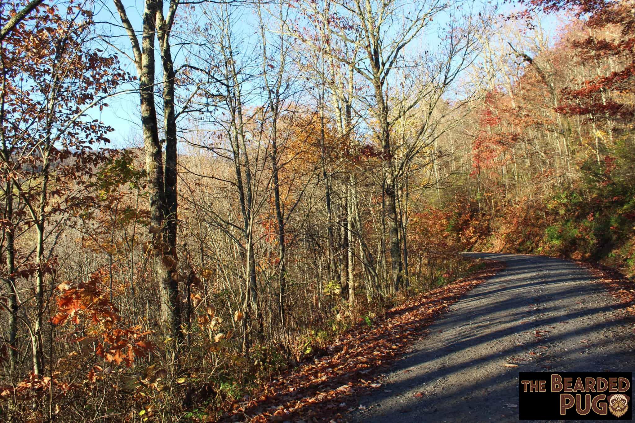
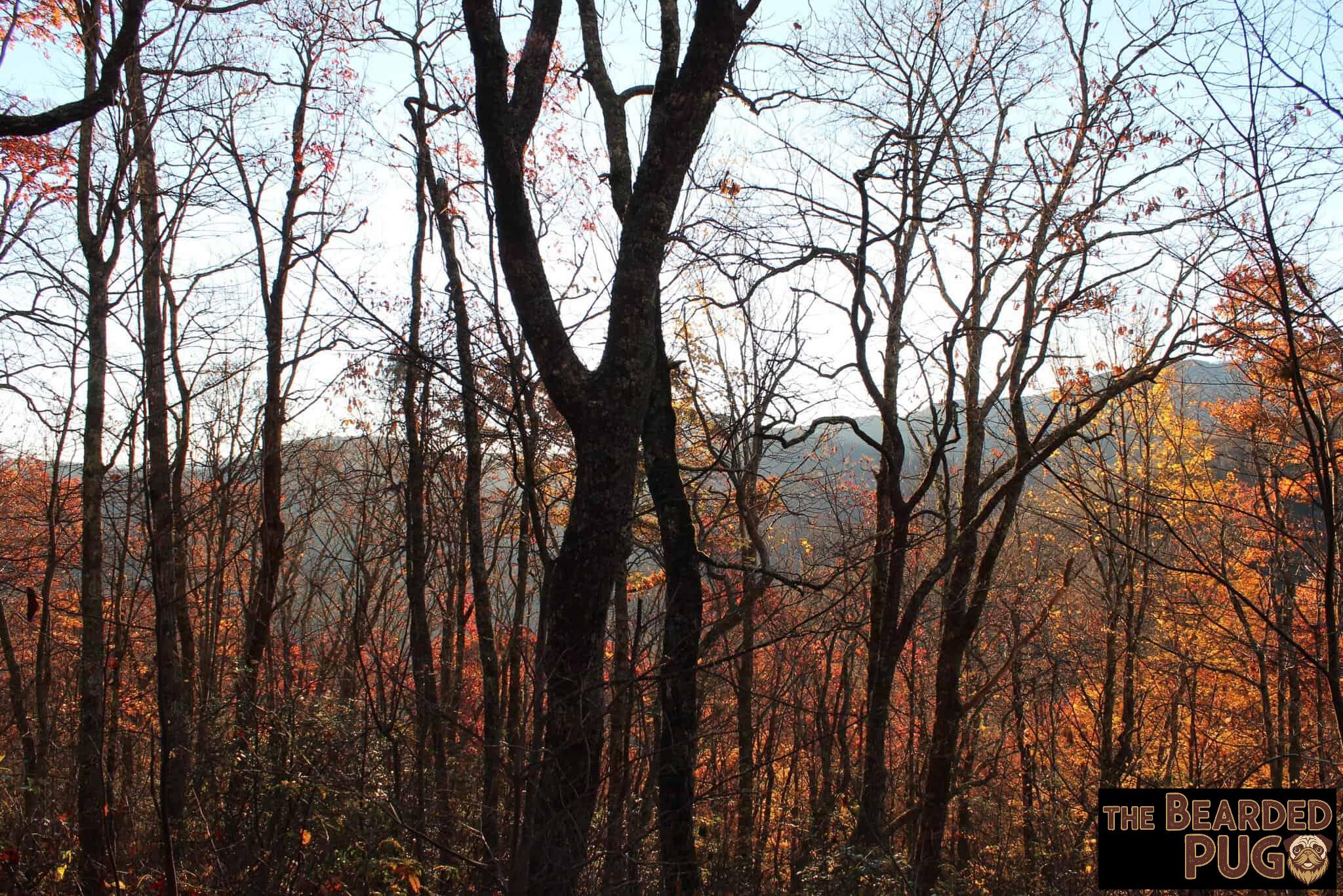
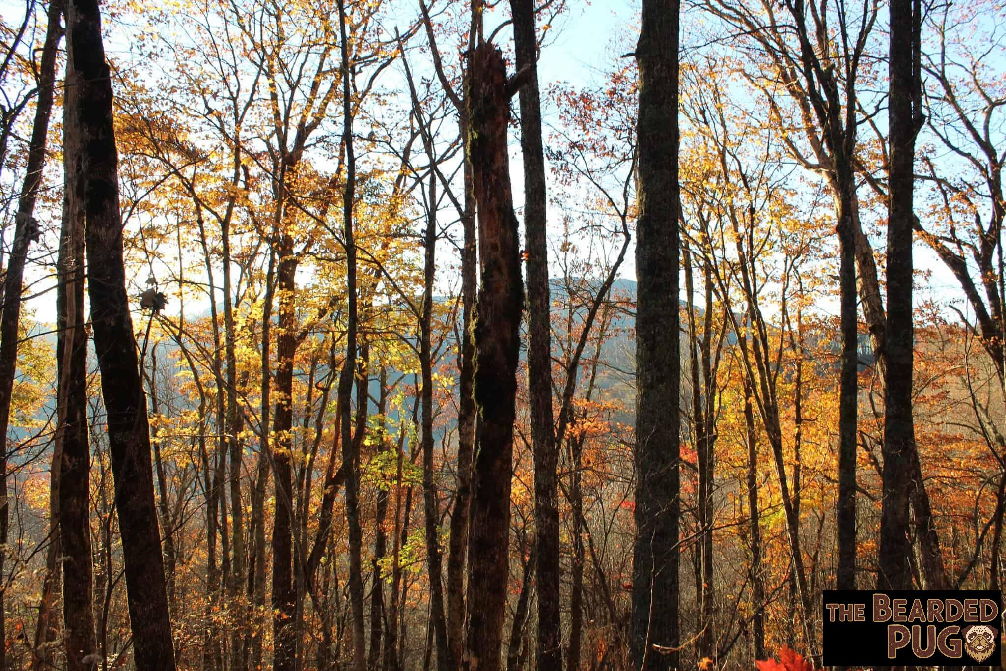
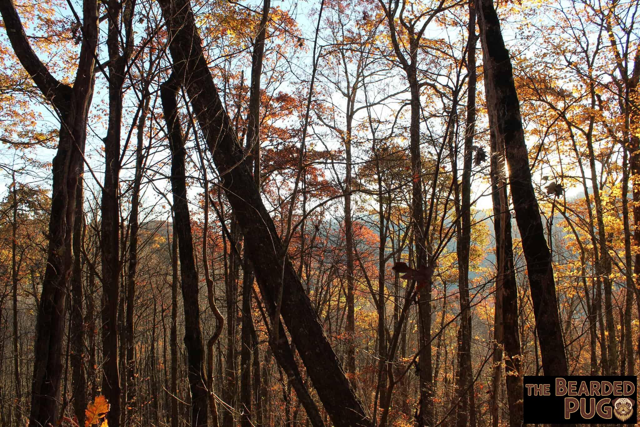
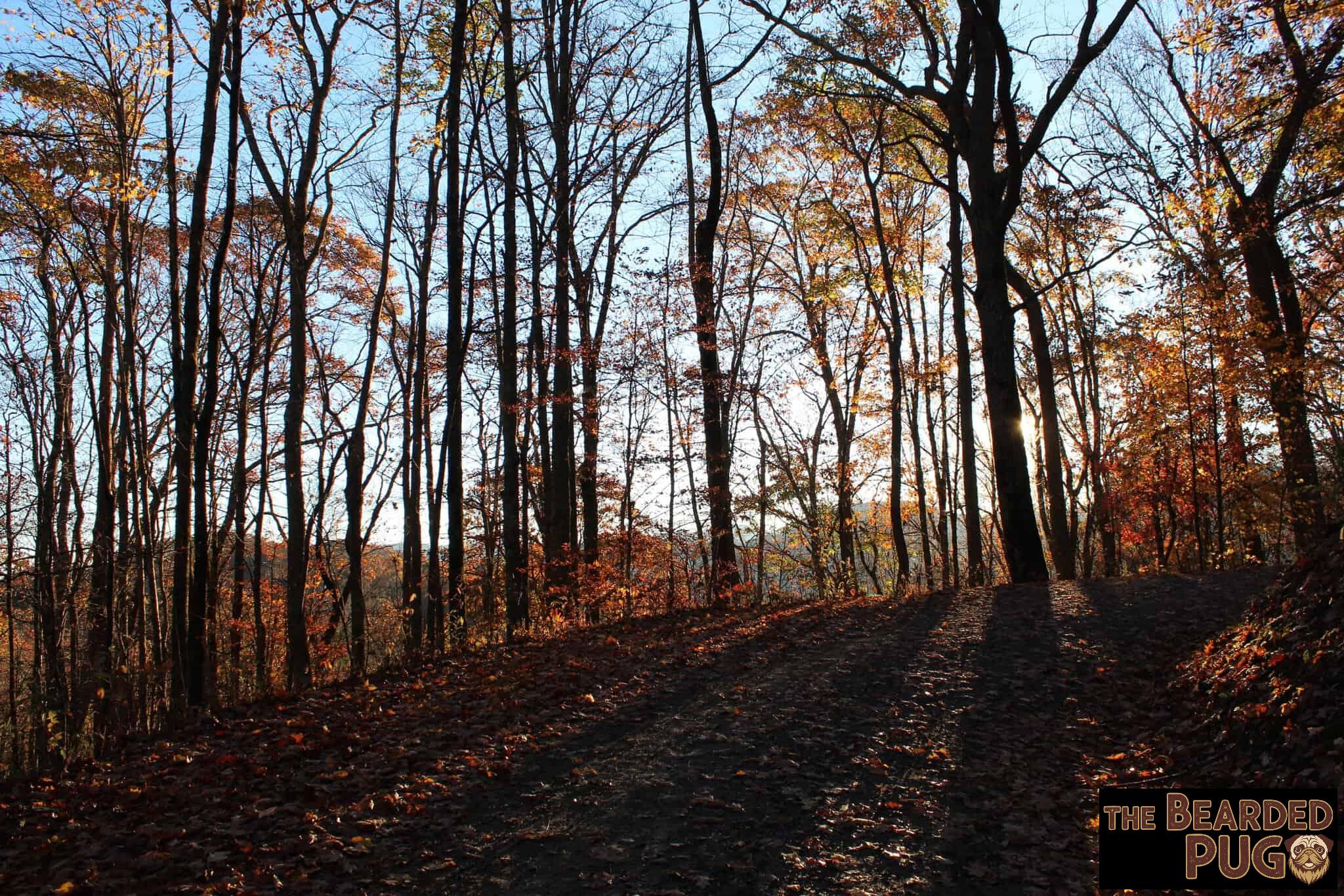
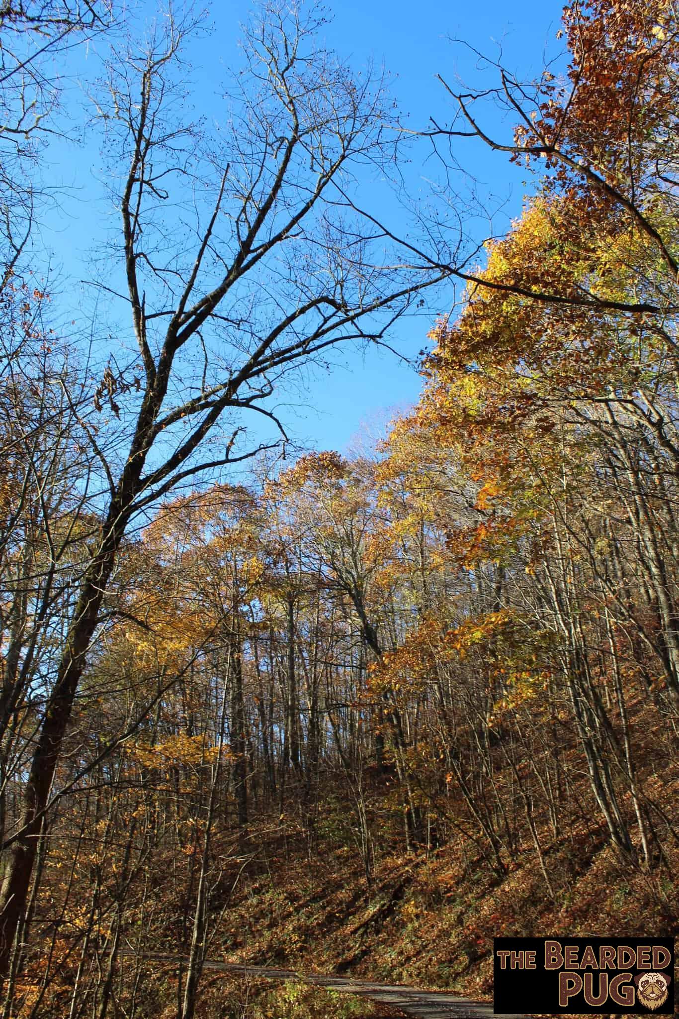
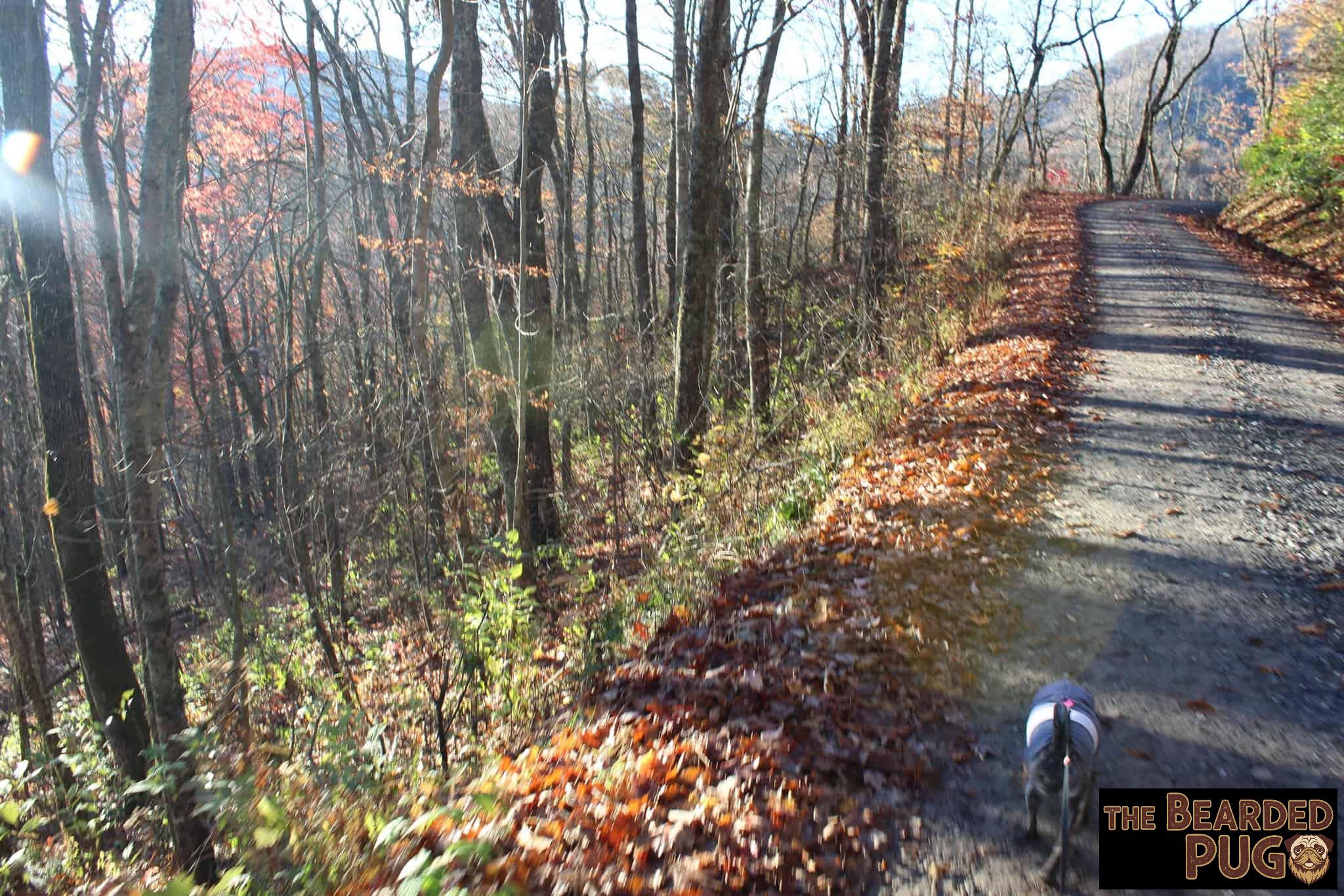
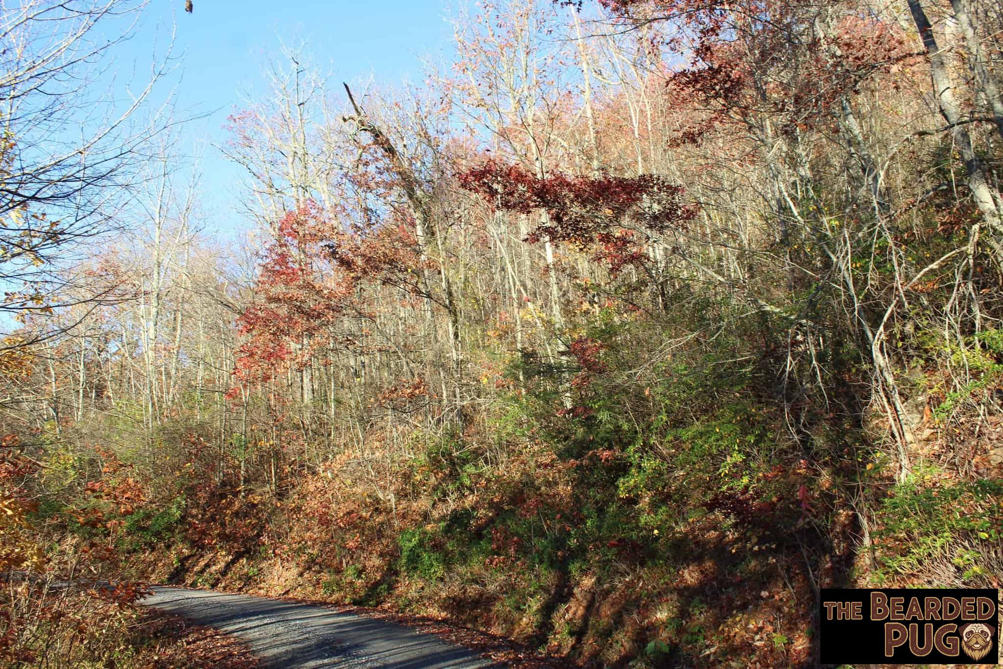
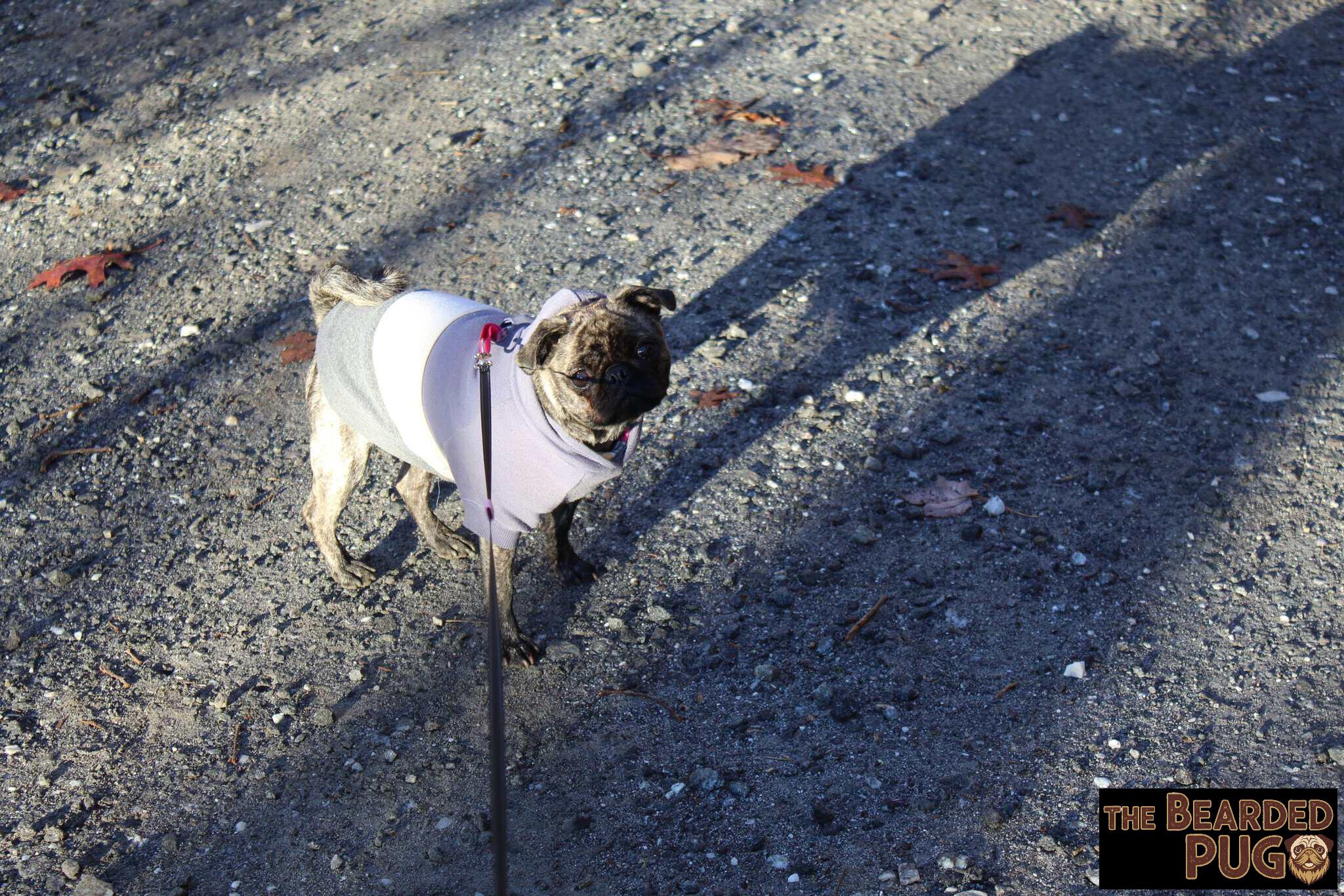
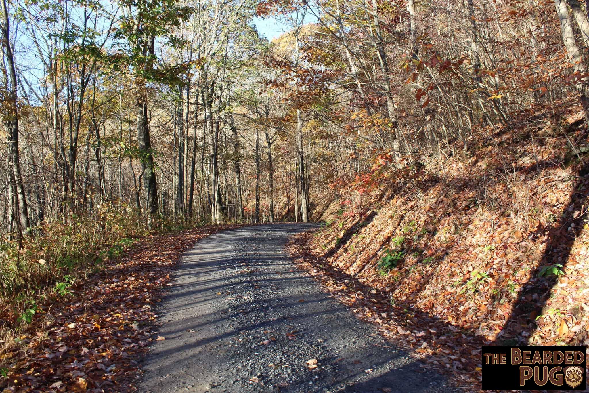
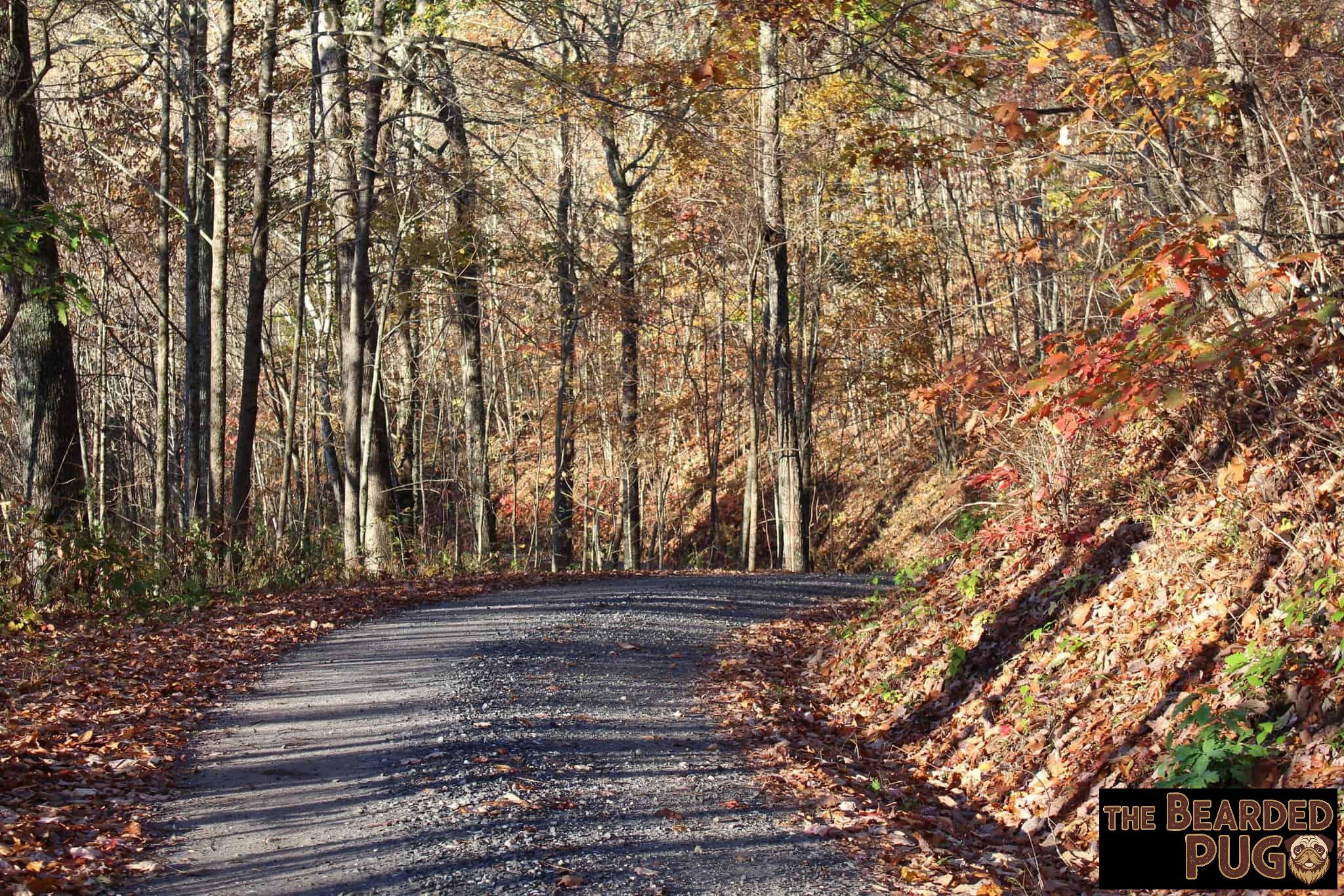
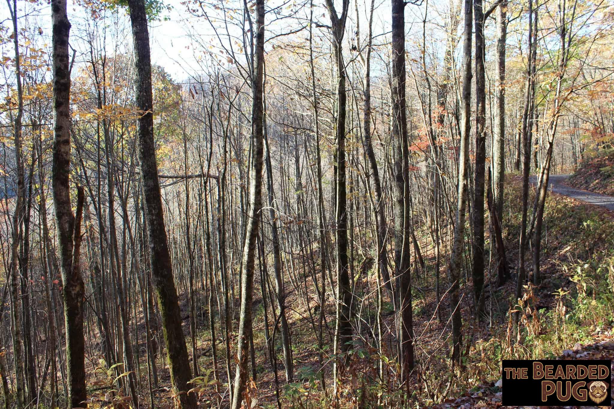
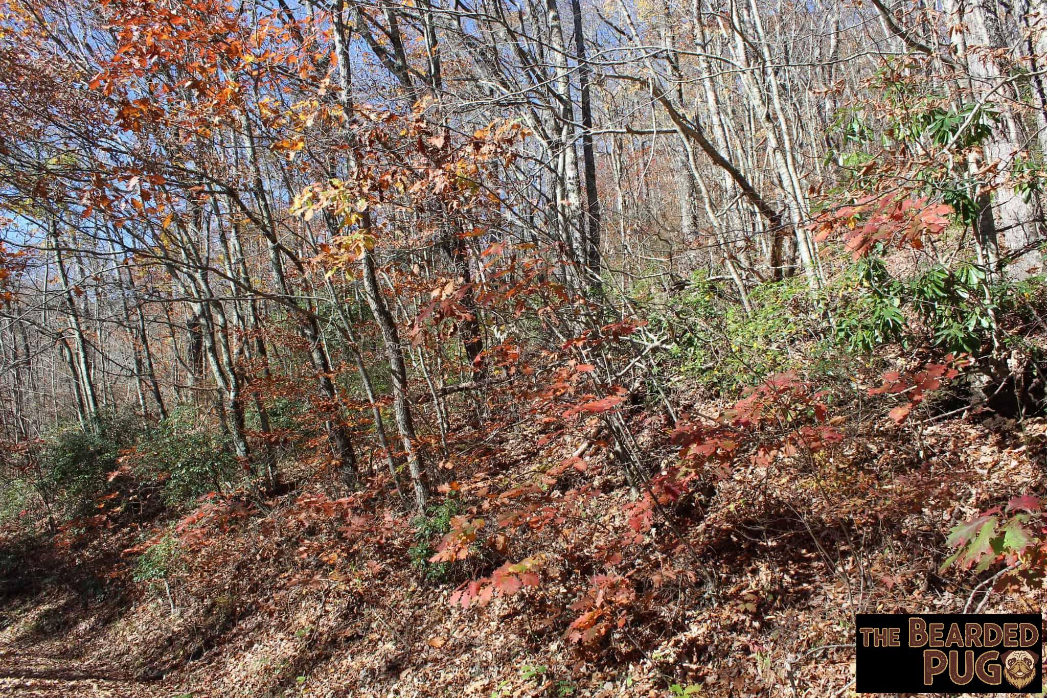
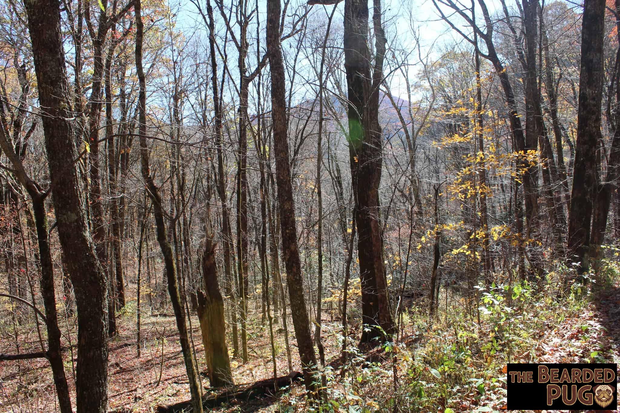
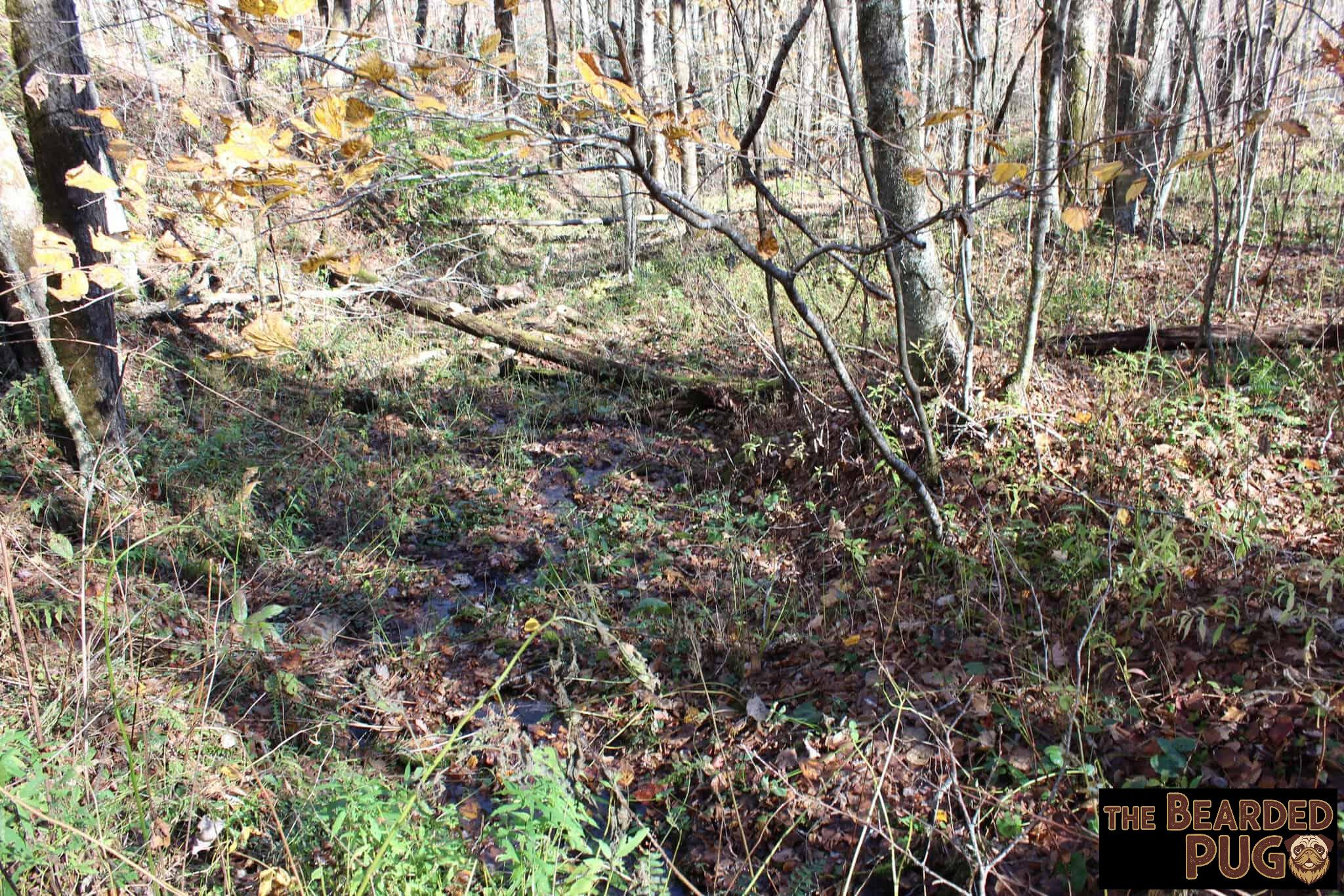
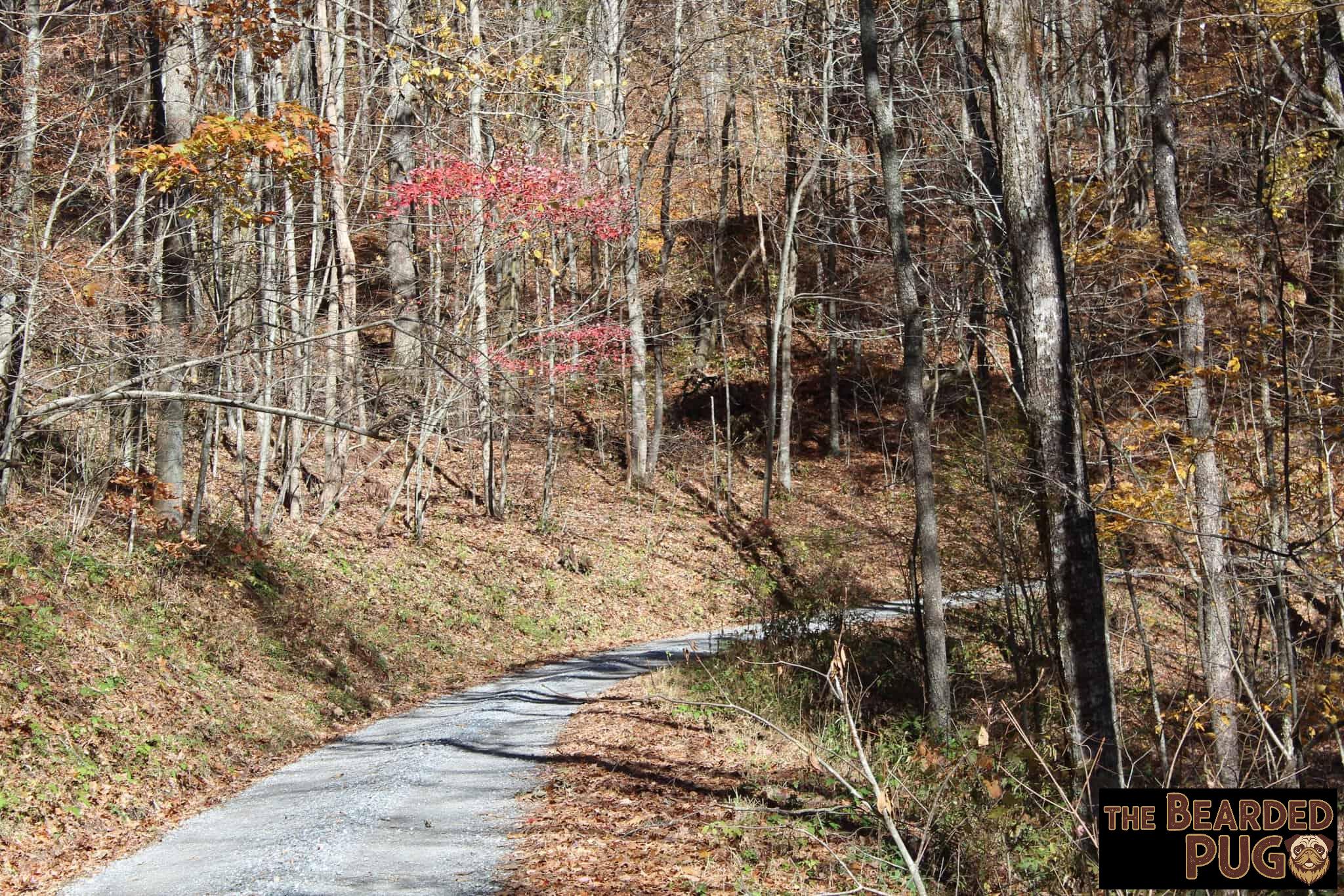
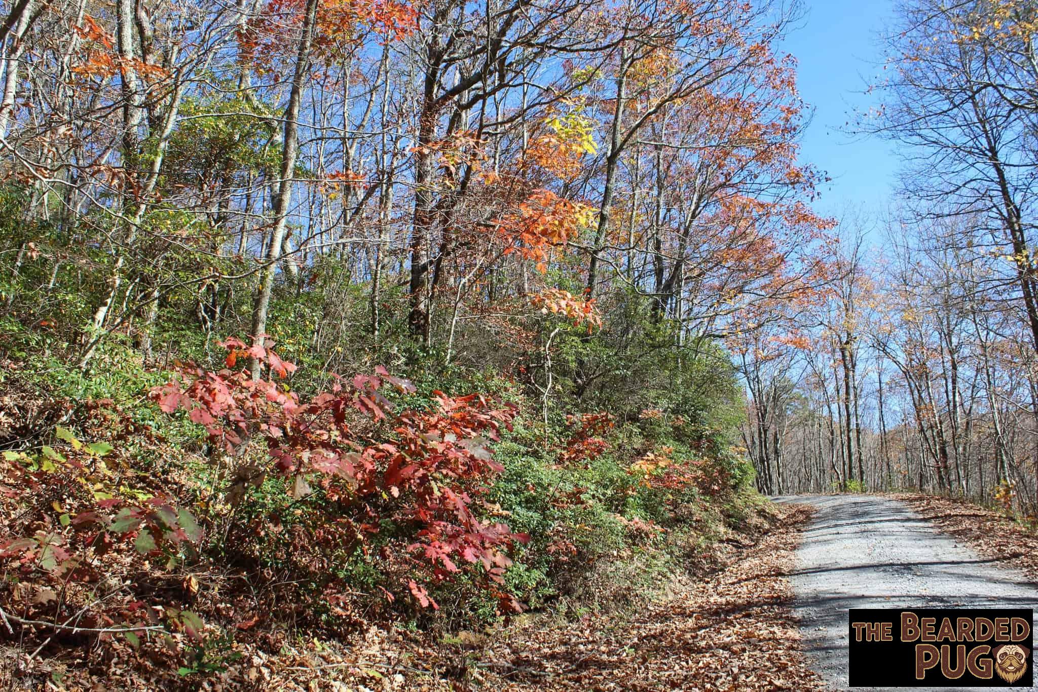
We woke up to a crisp 40°F, a long way from the 70° we’d arrived in. 🥶 I grabbed my camera gear and the drone, fed Lola, and we set off down the forest road. Because we didn’t end up camping where I’d planned, there weren’t any trails close by. It was just us, the gravel road, and some beautiful hilltop views. I did manage to grab a short video of the small stream coming down the mountain.
Back at camp, I got a midday fire going and we lazed around until things warmed up. Then the drone went up for some aerial views. 🚁
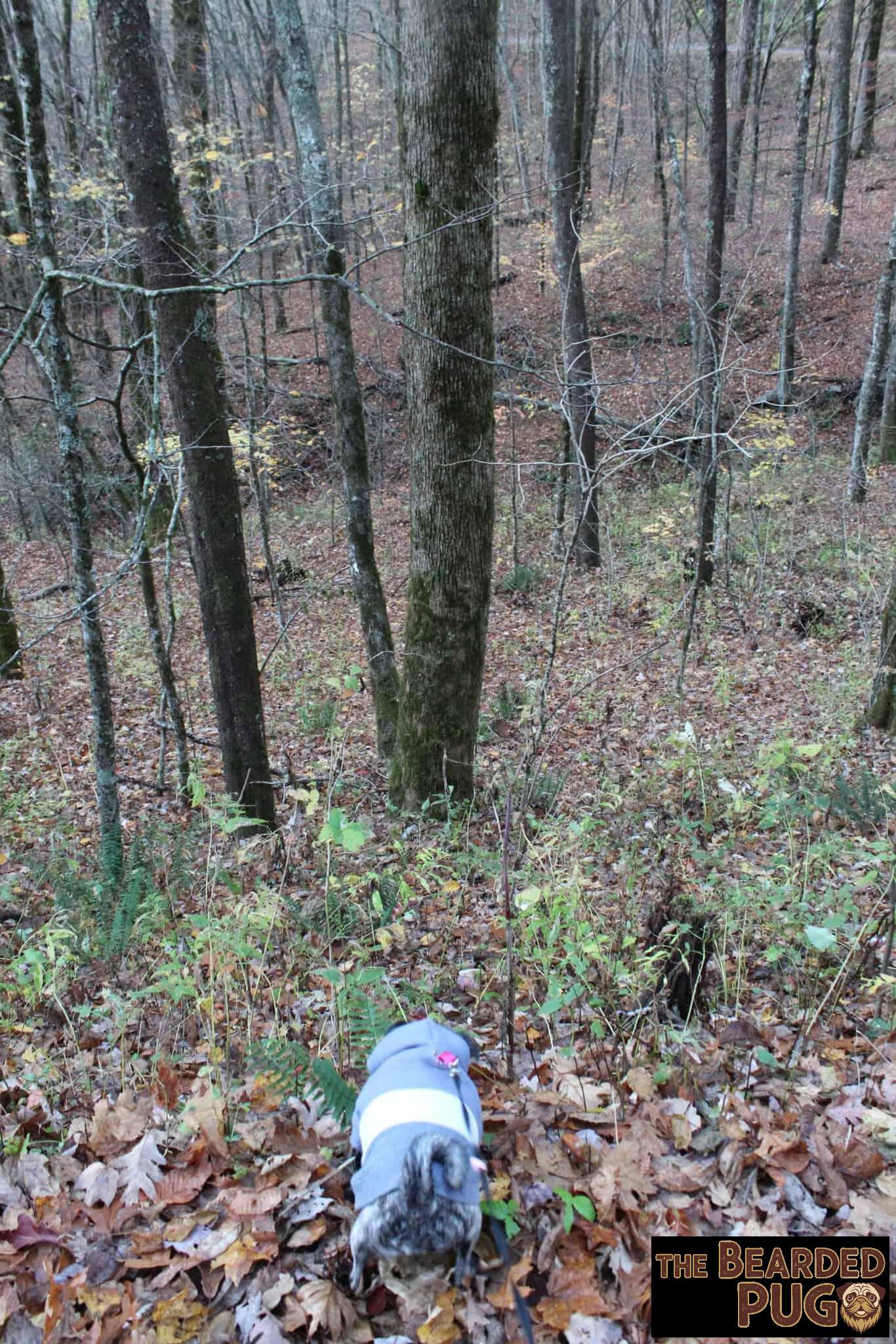
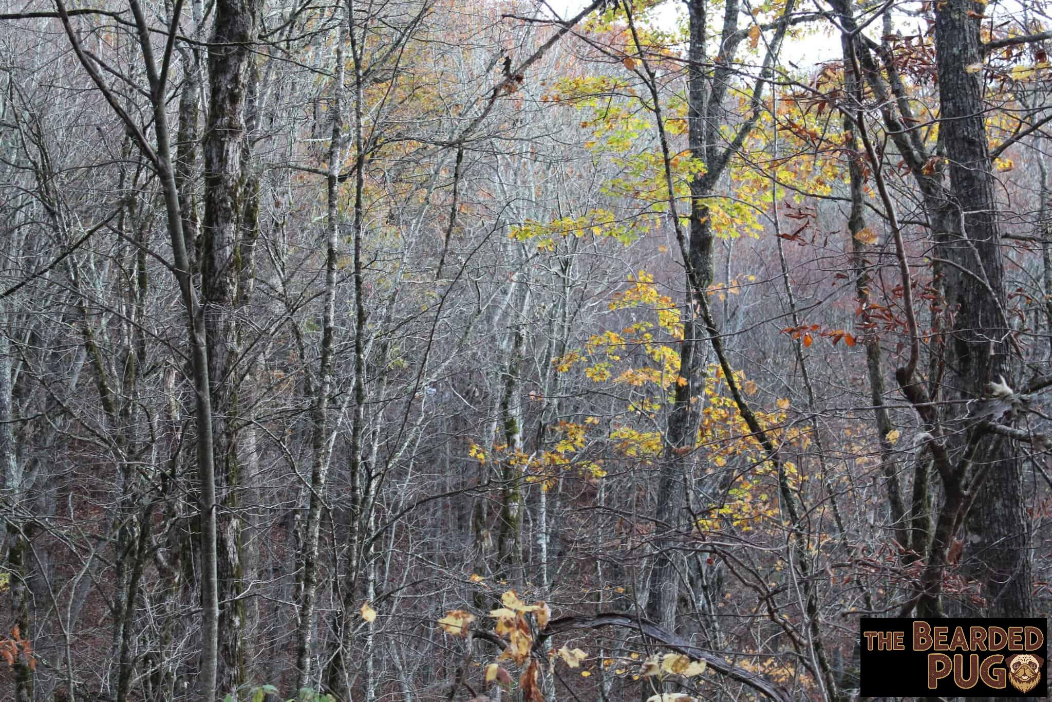
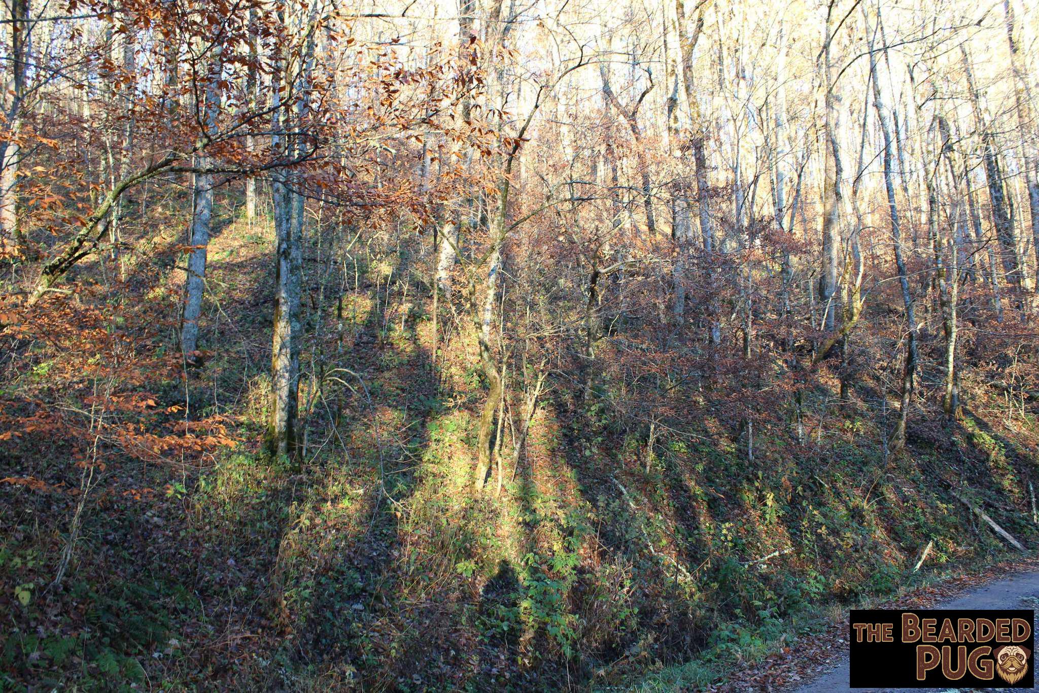
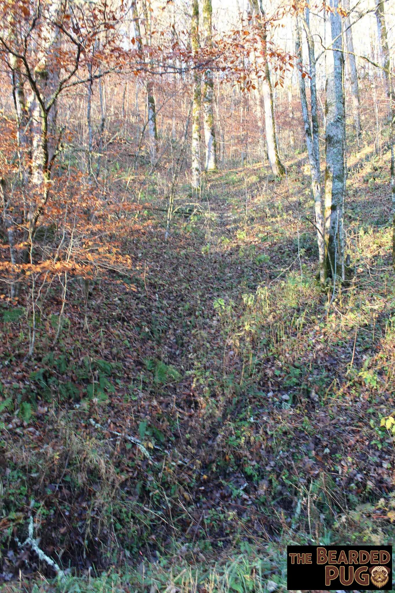
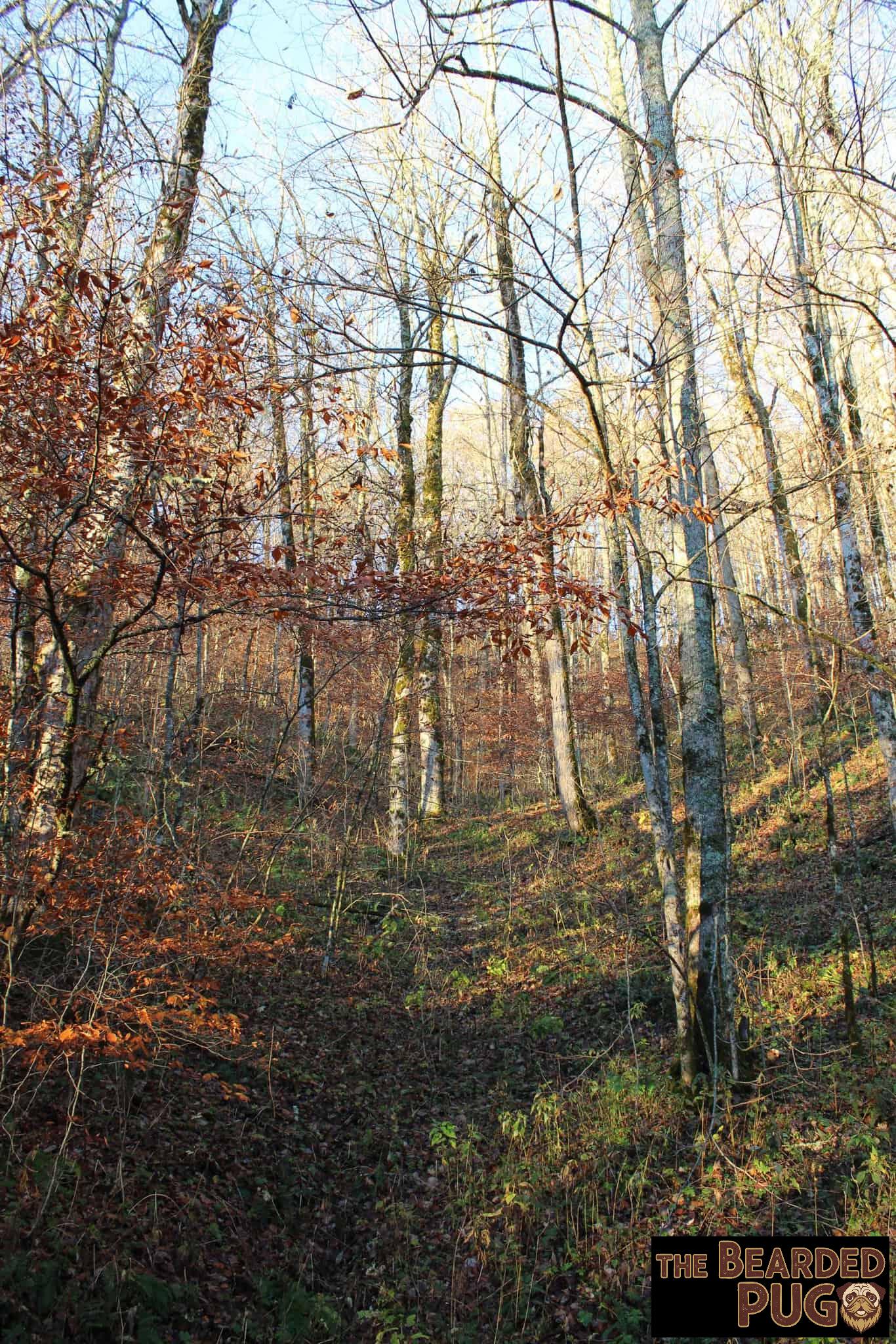
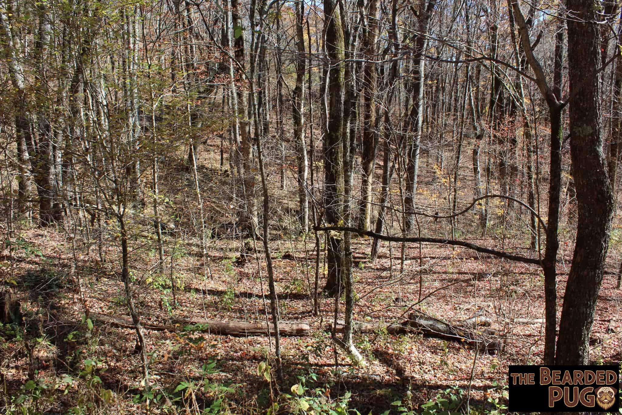
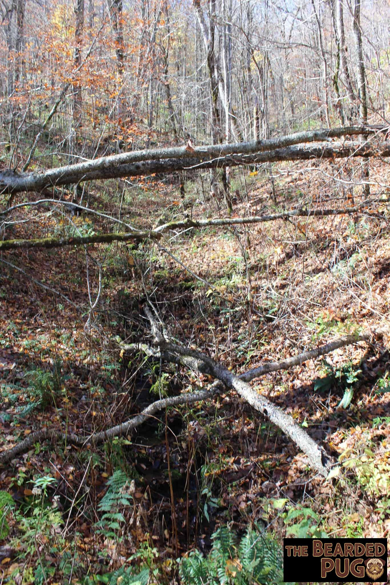
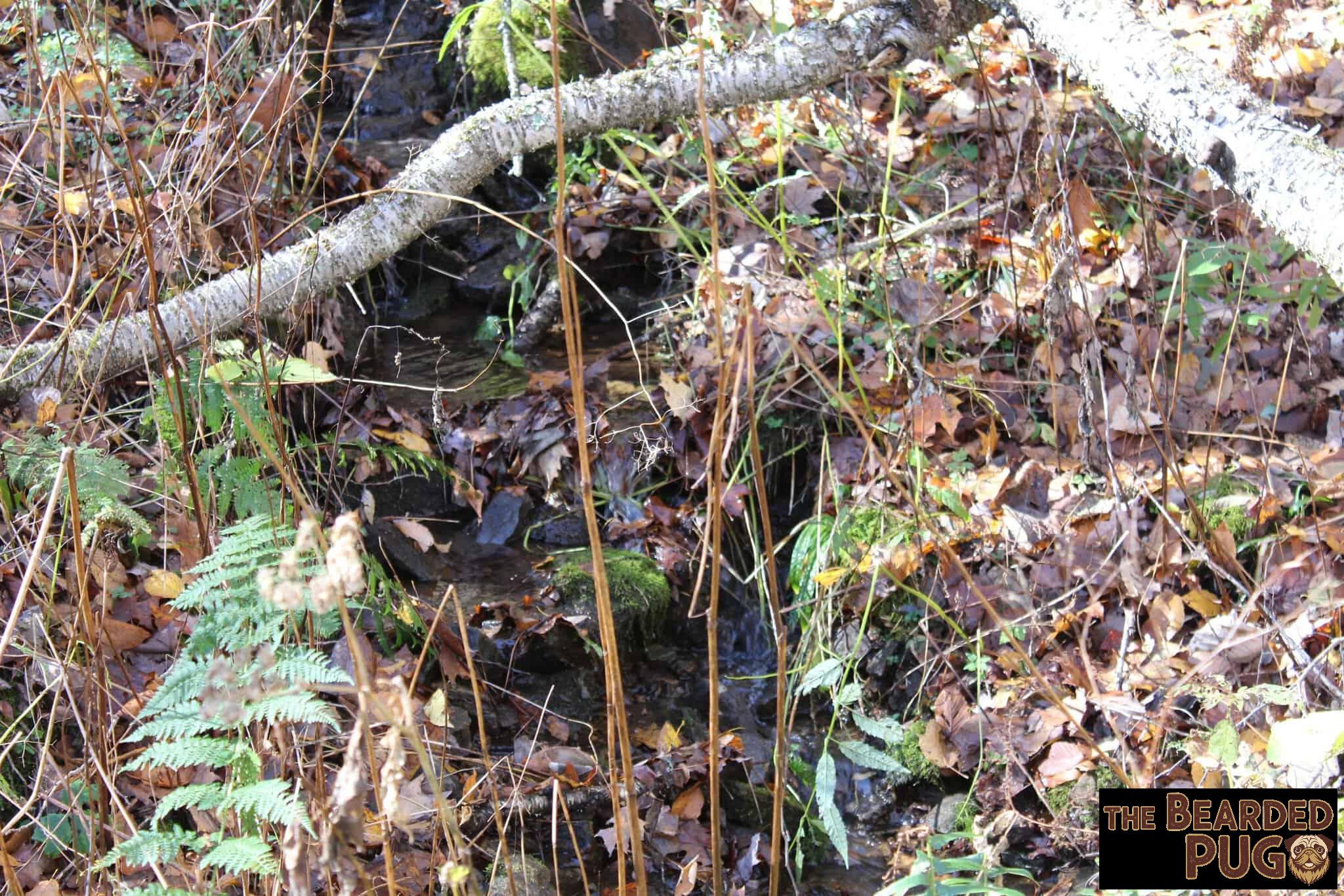
After that, I made sure the fire was completely out, and we headed north to look for a small waterfall I’d heard tumbles down beside the road. We finally found it… after giving up and heading back south. 🙃 Looking up the stream, all I could see was a tangle of branches. Nope. I’m not hiking up the side of a mountain just to get a better look at a small waterfall. 😂
The Fire That Wouldn’t Quit 🔥
We got back, had lunch, and found a few embers still glowing under the morning’s ash. A little coaxing and the old fire roared back to life.
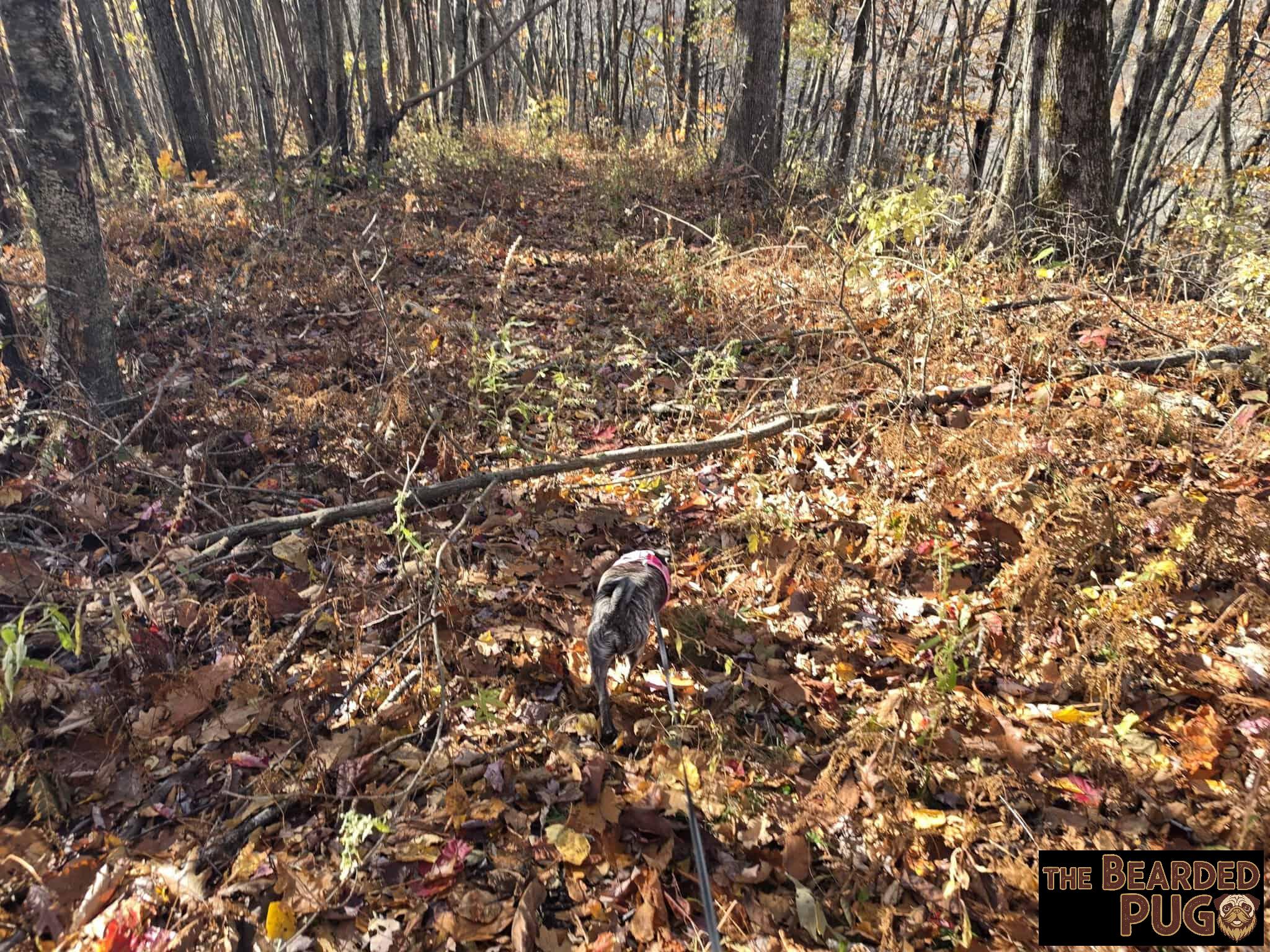
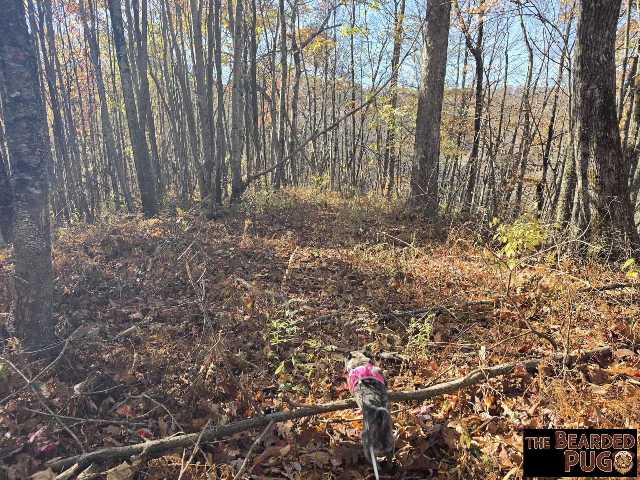
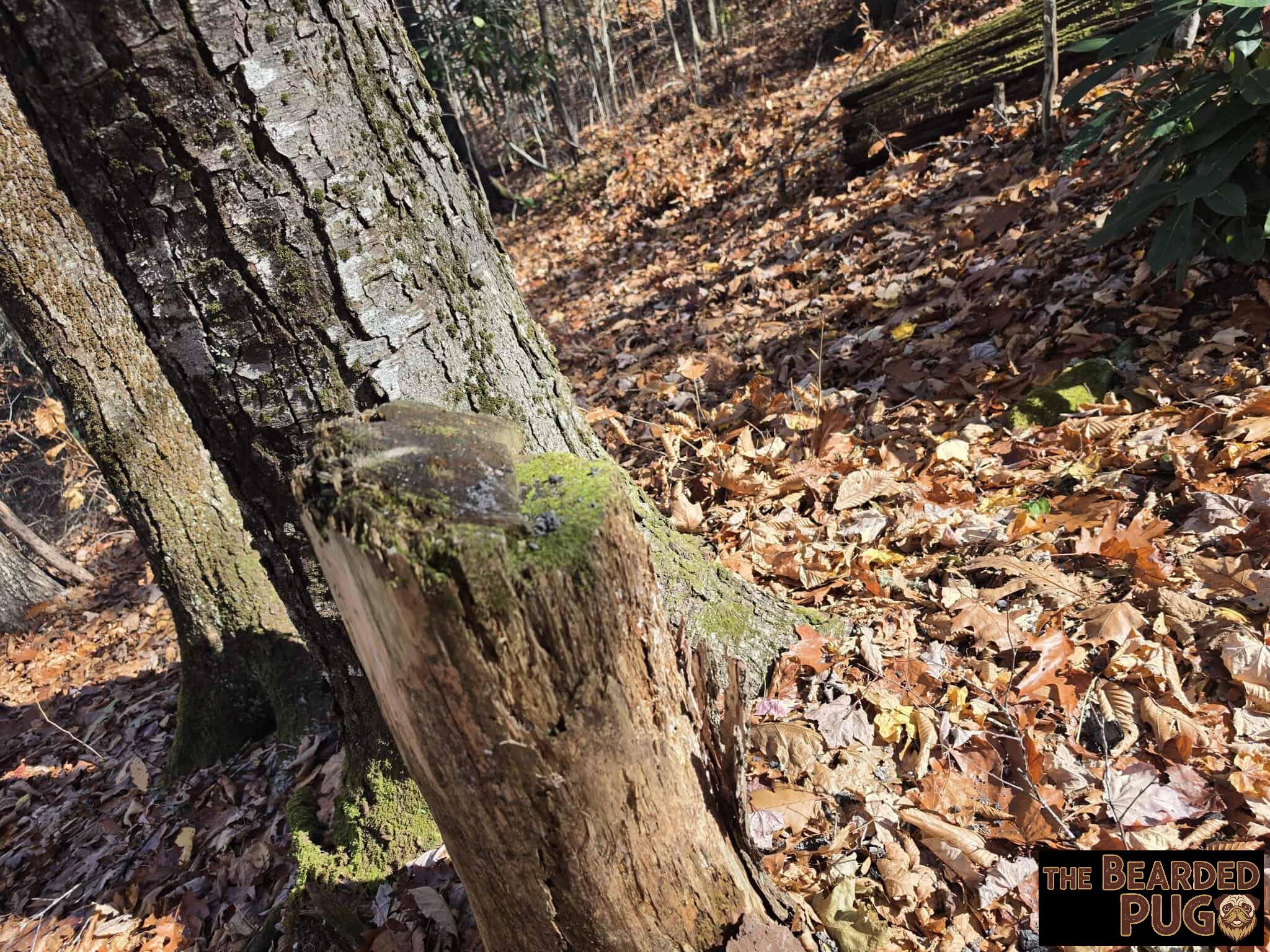
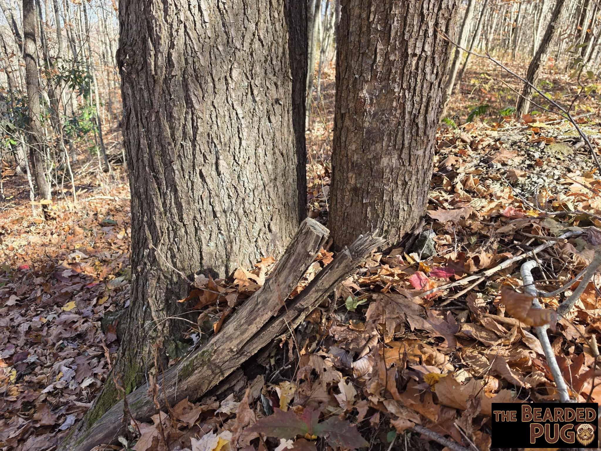
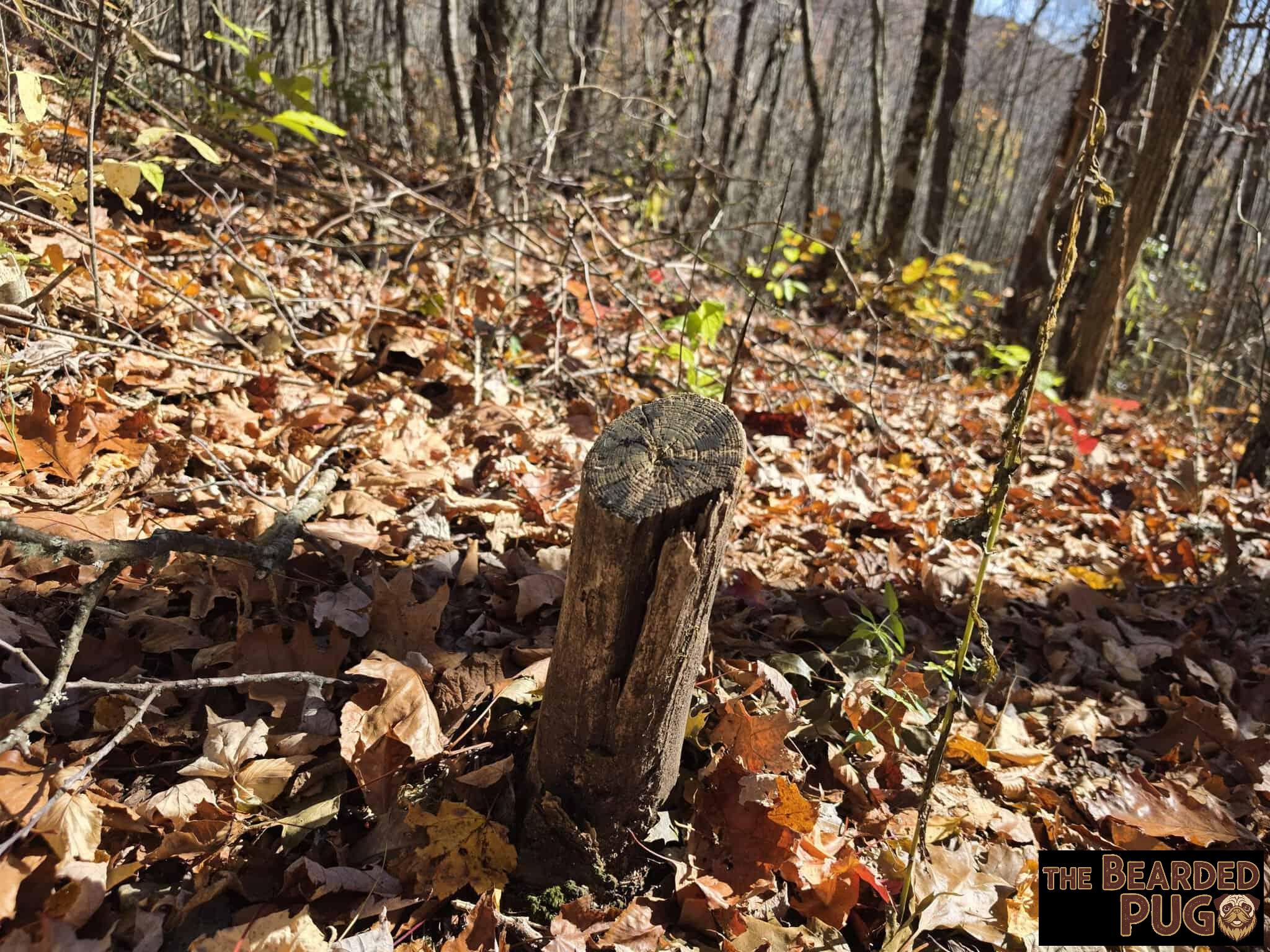
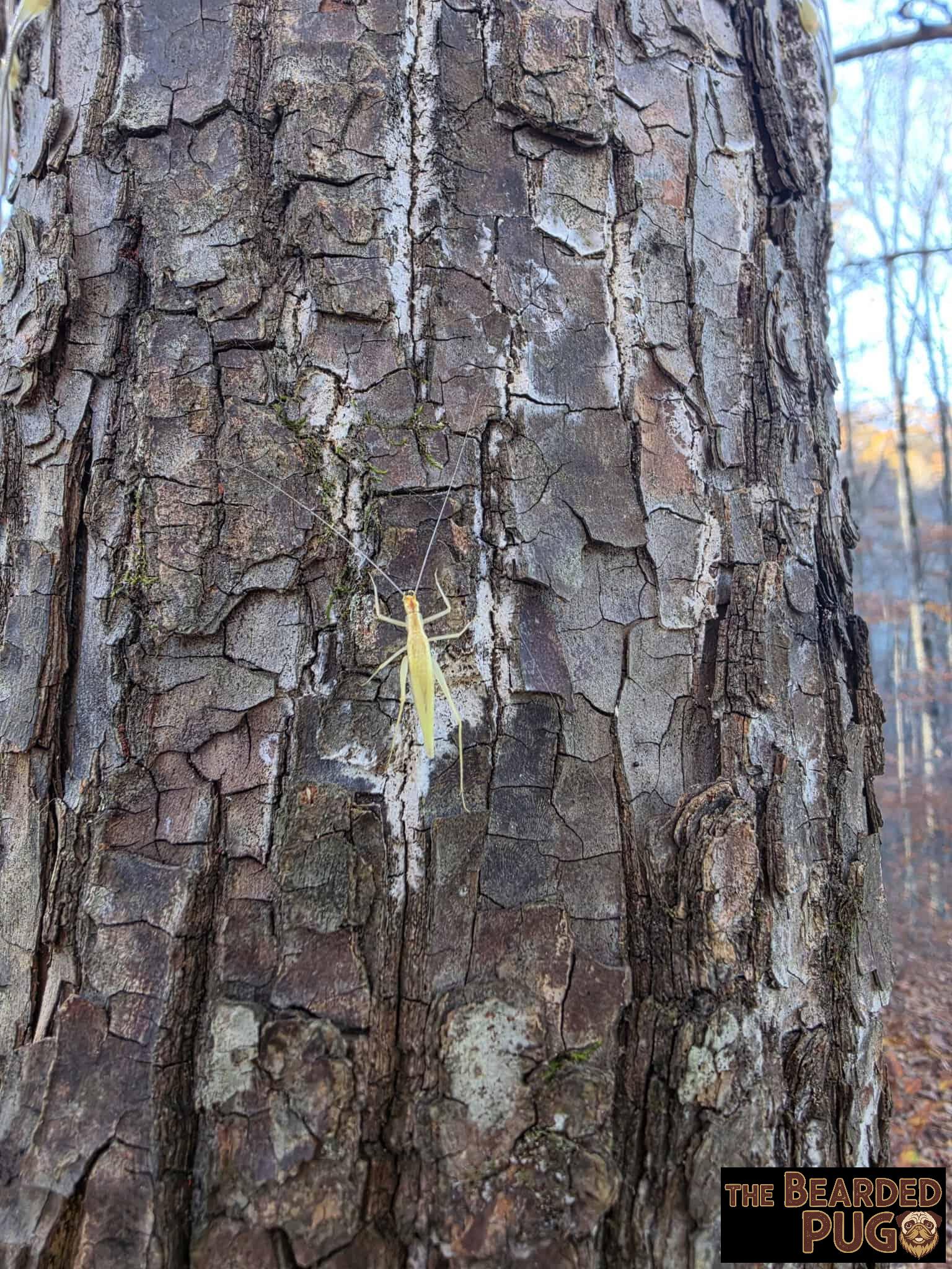
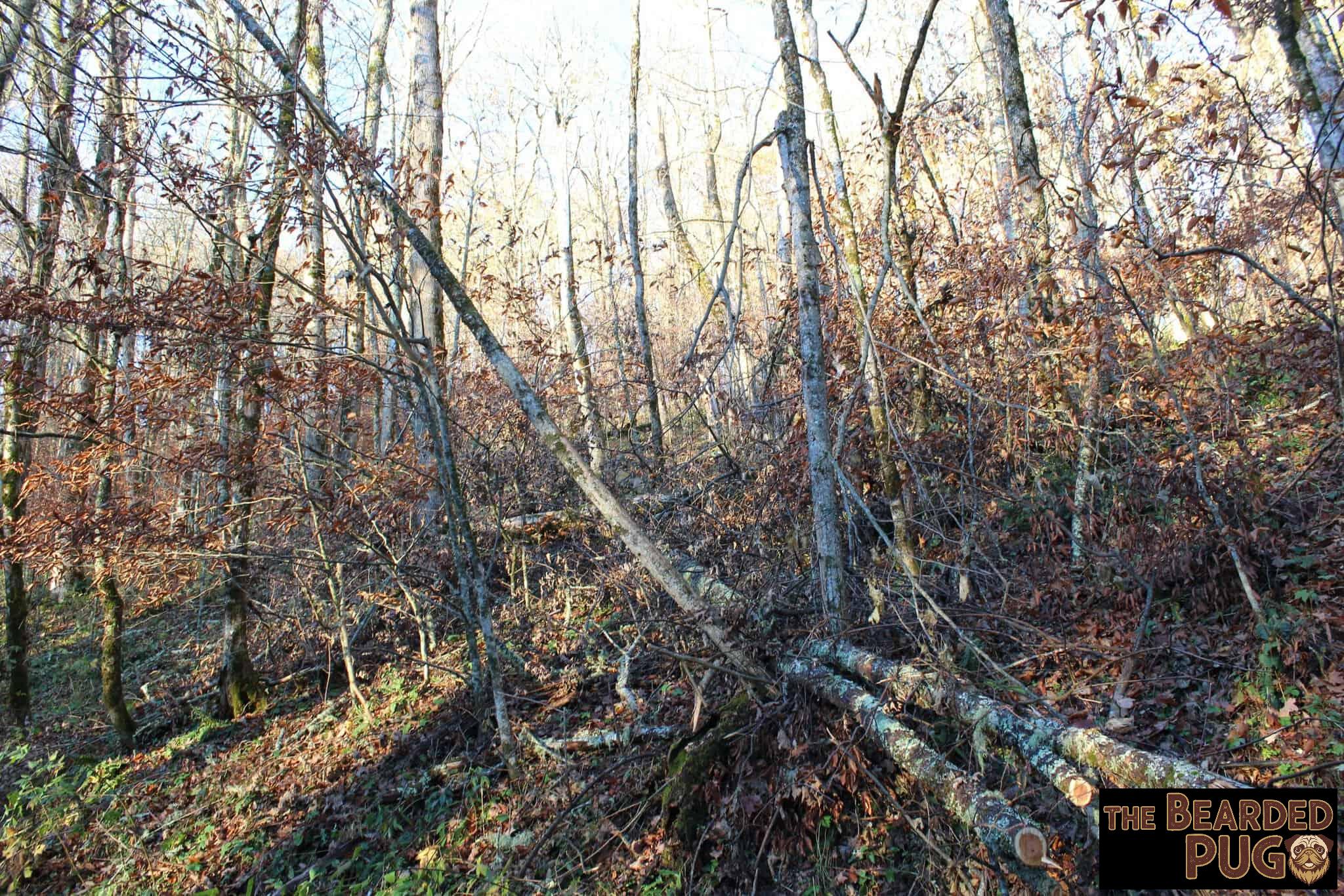
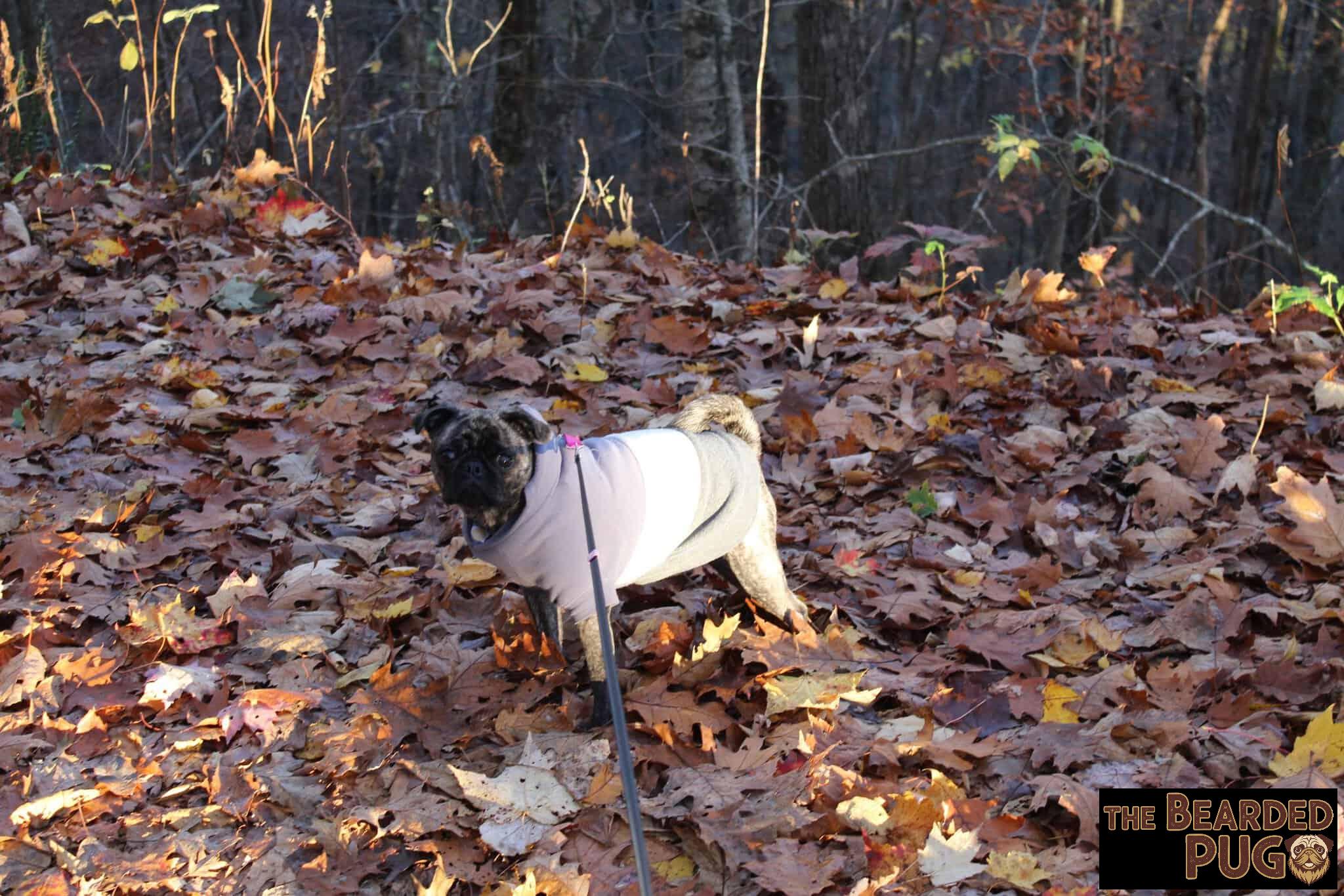
We spent the rest of the afternoon relaxing to the crackle of the campfire and the sounds of the forest. I seriously underestimated how much firewood I’d burn: both bags were gone by 2 PM Saturday. So Lola and I went foraging for deadfall, which is easy to find up here. Here’s the trick: tug on a branch. If it snaps, it’s dead and fair game. If it bends, it’s still alive, so leave it be. I have no idea why a few trees out there had been cut down with chainsaws, but the rule is simple: if it’s live, leave it alive. 🌲
Sunset Timelapse
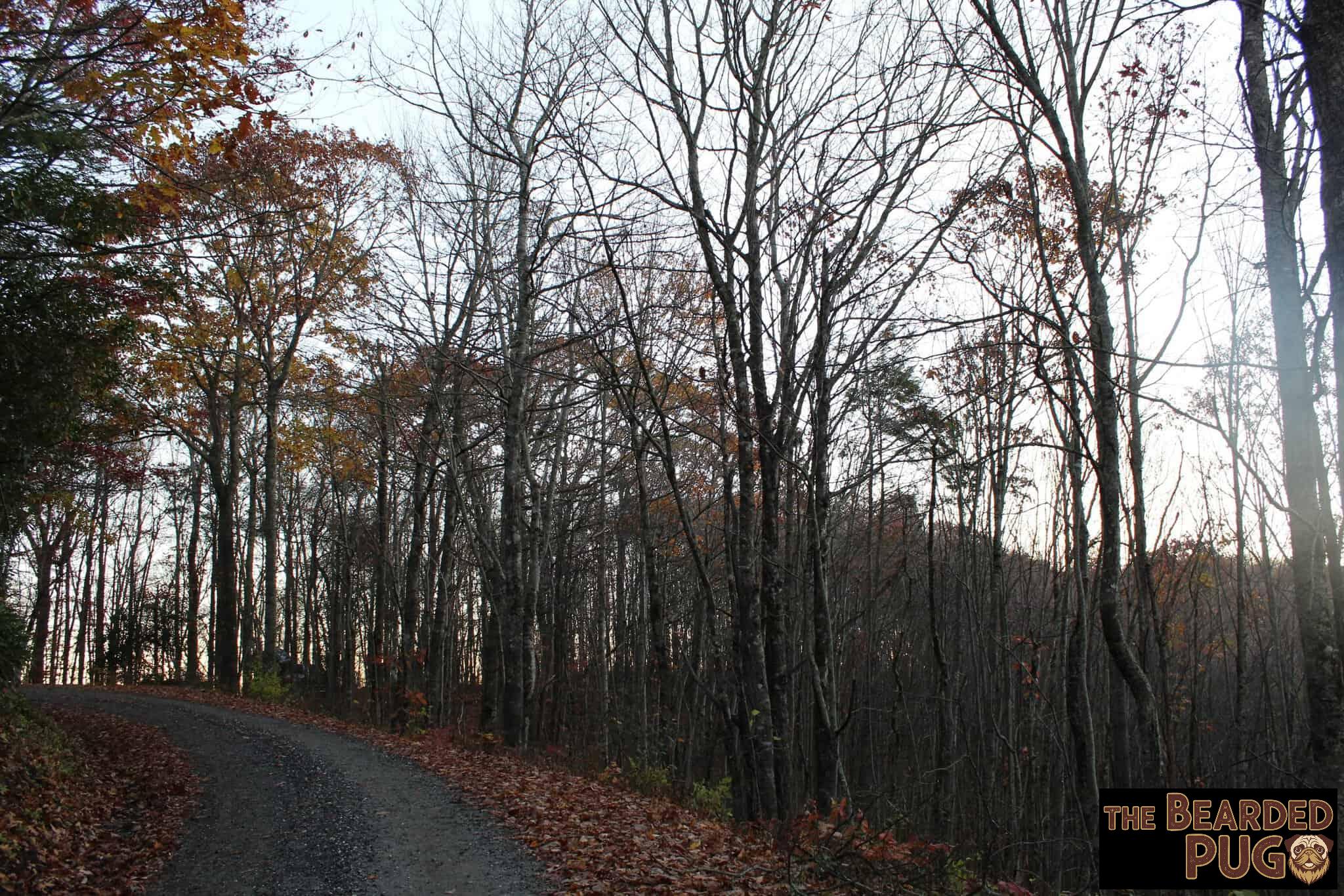
When the sun hit the mountaintop, I started the timelapse, made sure the fire was dying down, grabbed Lola, and we retreated to the tent so I could get some blog work done. We kept the doors and windows open until the cold finally won. The timelapse didn’t catch the stars as well as I’d hoped, but here’s a short look at the sunset. 🌅
Packing Out
I packed up most of our stuff the night before, so in the morning all we had to do was zip up the tent and go. My watch said “sunrise” was 5:34, which turned out to be the first hint of dawn, and with the mountains around us I didn’t see real light until about 6:45.
Deep Gap, you were cold, windy, and totally worth it. It’s officially pinned on our map. We’ll be back. 🐾

Enjoying the adventures?
Buy my human a coffee for the long drives, or buy me a biscuit. 25% of your purchase goes to local rescues & shelters. — Lola 🐾
Leave a Reply