Address: (Parking only) Hiawassee, GA 30546
Telephone: (888) 867-2757
Lat/Long (Corbin Creek): 34.801642, -83.742959
Lat/Long (Tray Gap): 34.799228, -83.691148
Website: https://appalachiantrail.org/
Date: October 10th – 12th 2024
Hardware used for media: GoPro 10, Insta360 X3, Galaxy S22
Internal Resource Links: Destination: Appalachian Trail
*This is a continuation of my Unicoi/Dicks creek blog. Link to that blog.
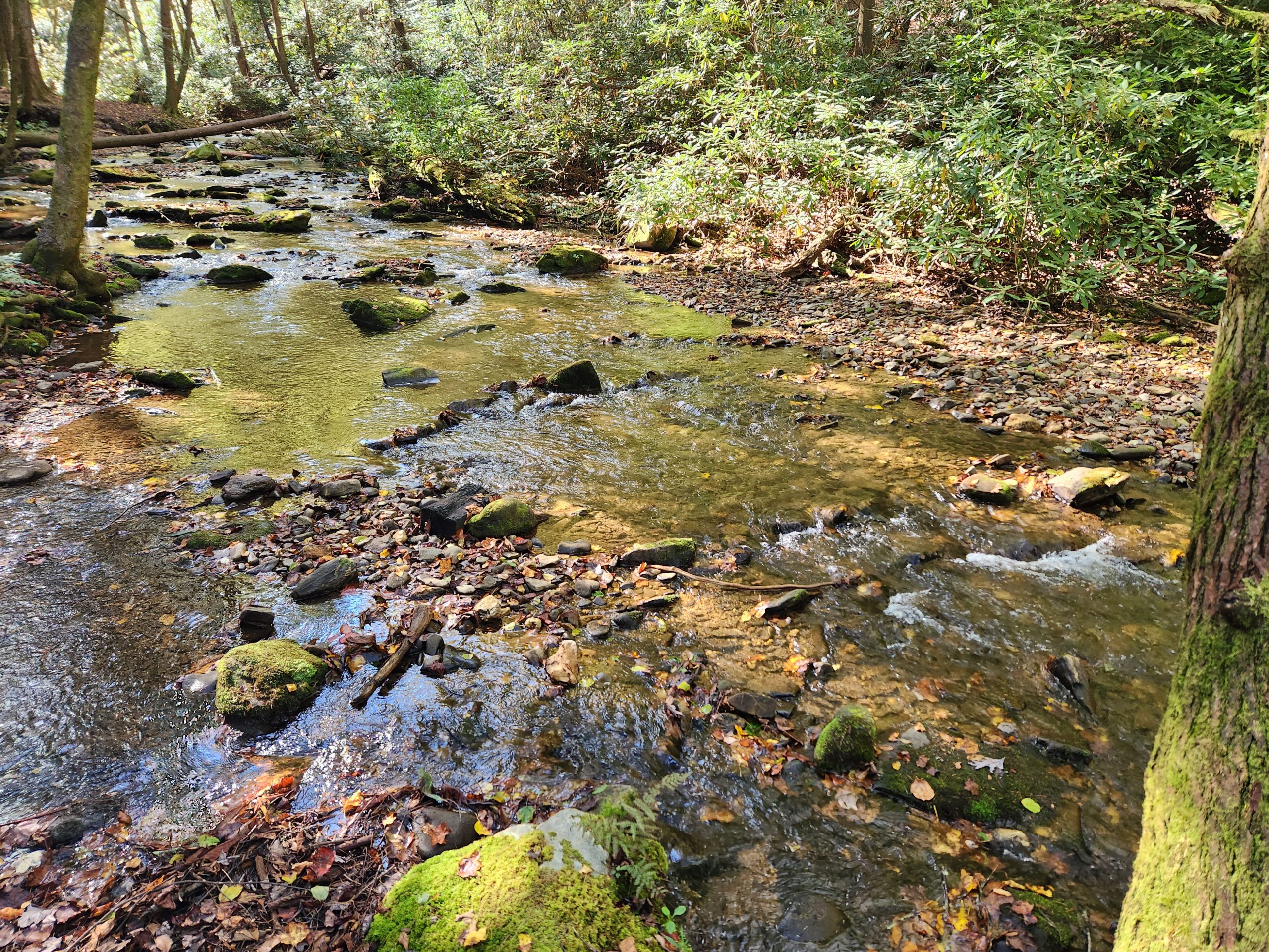
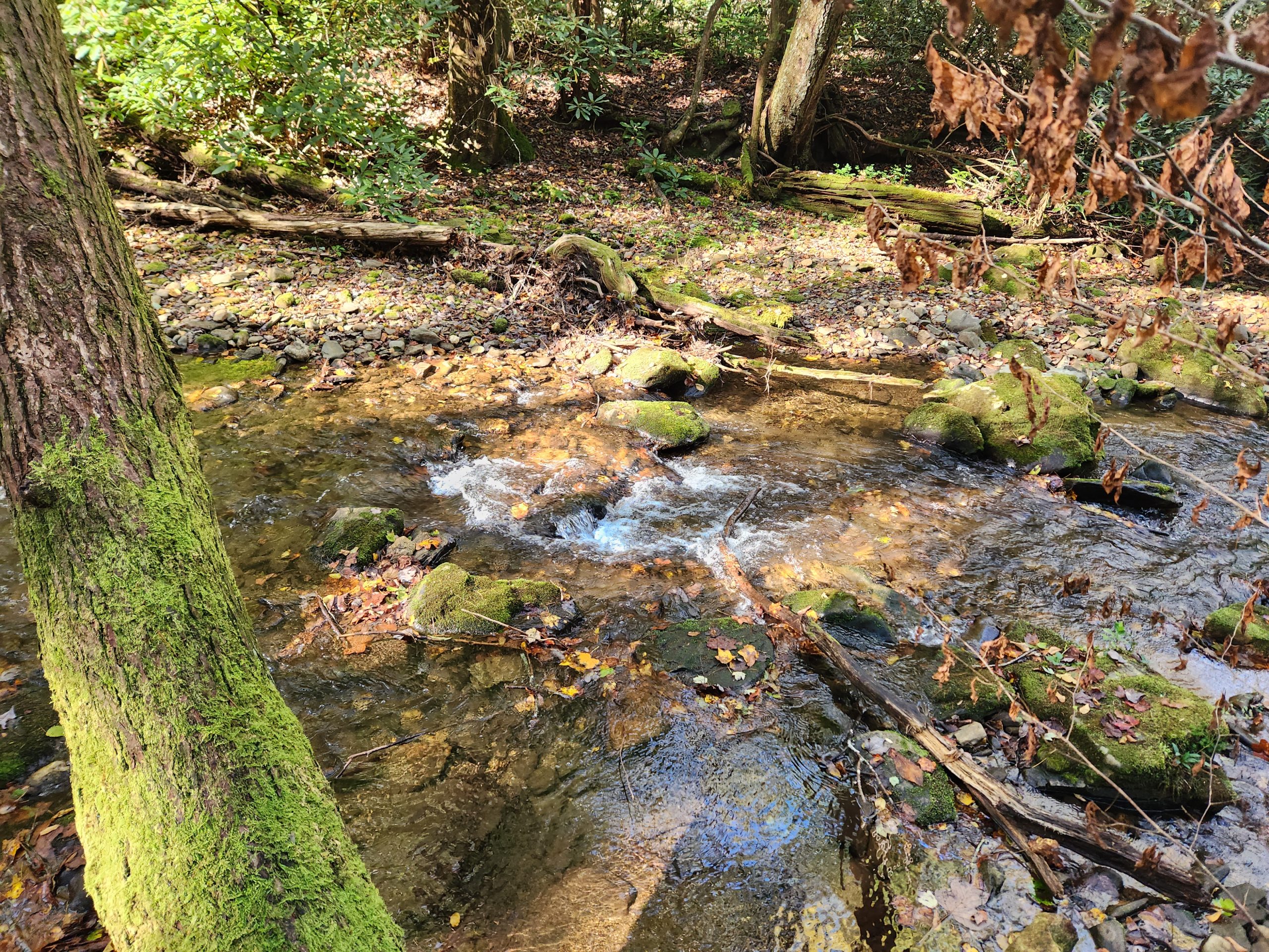
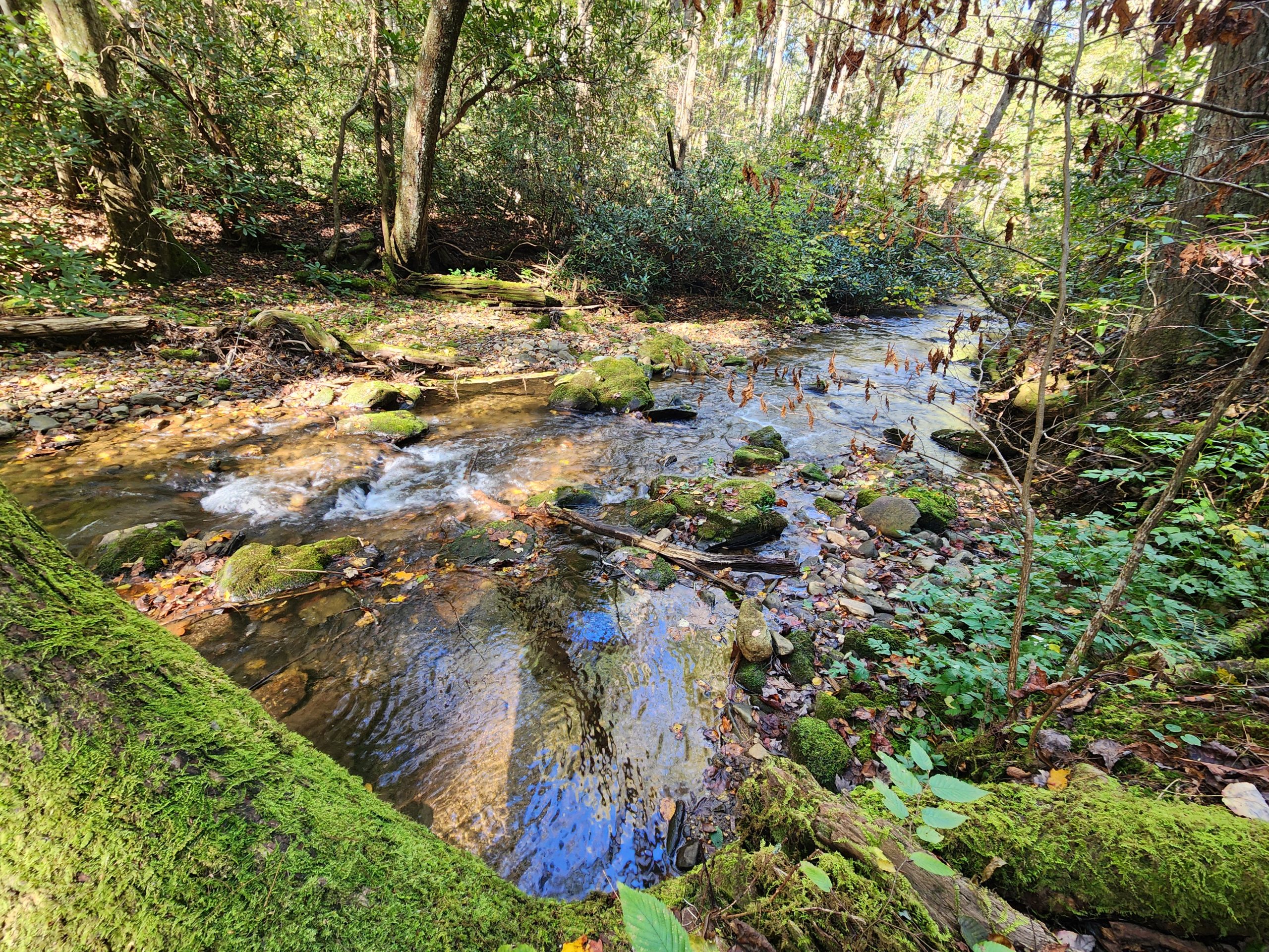
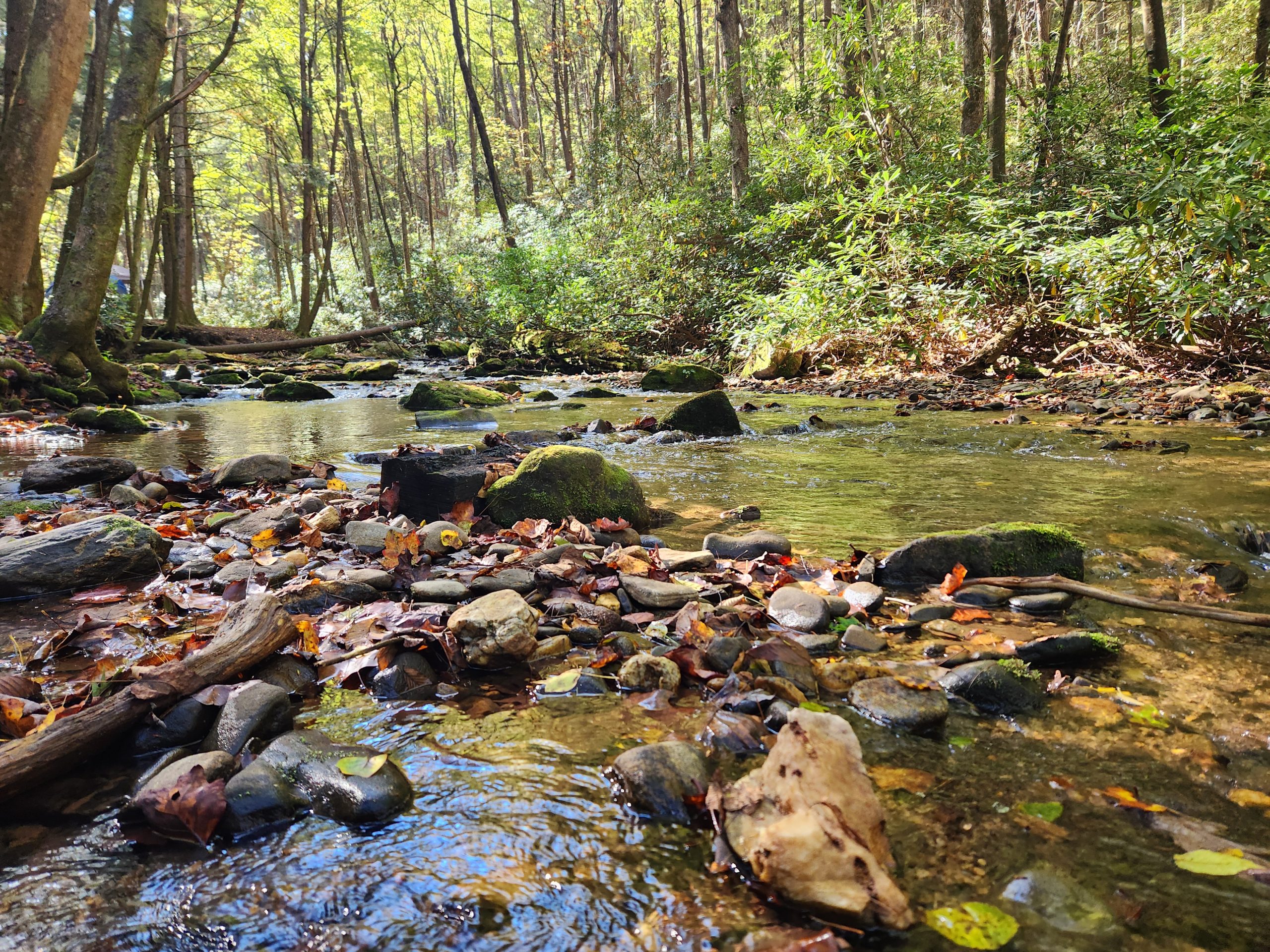
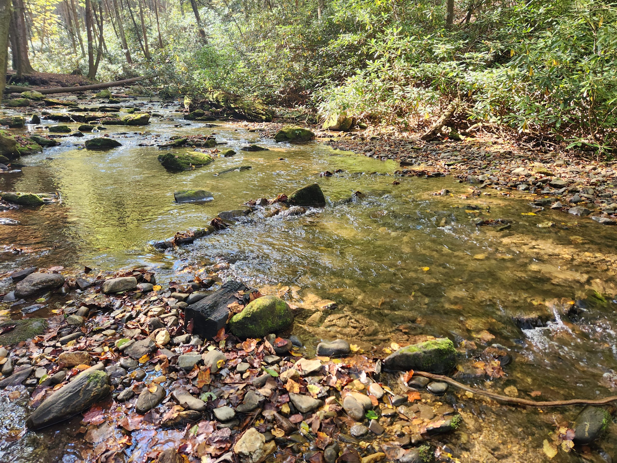
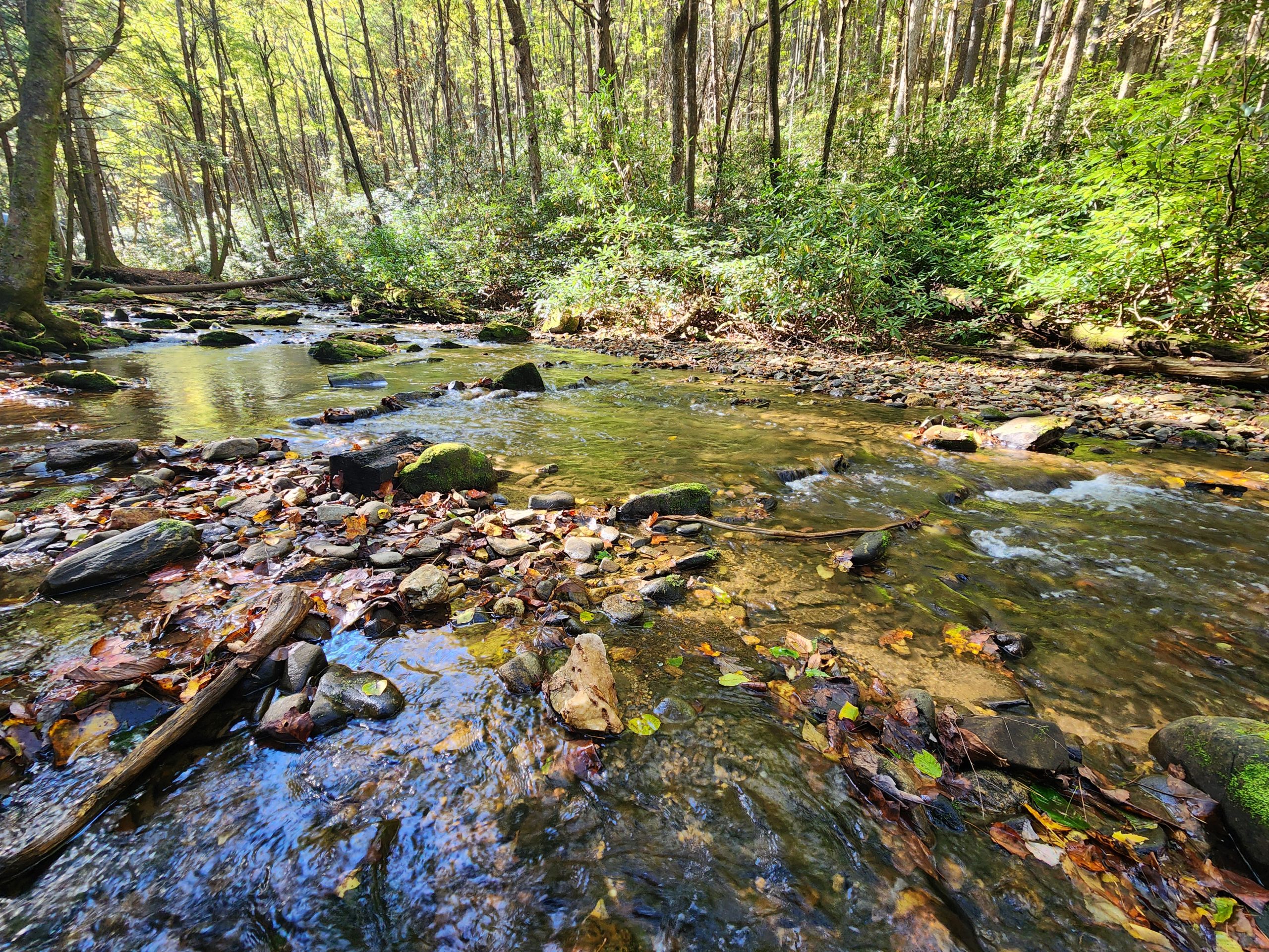
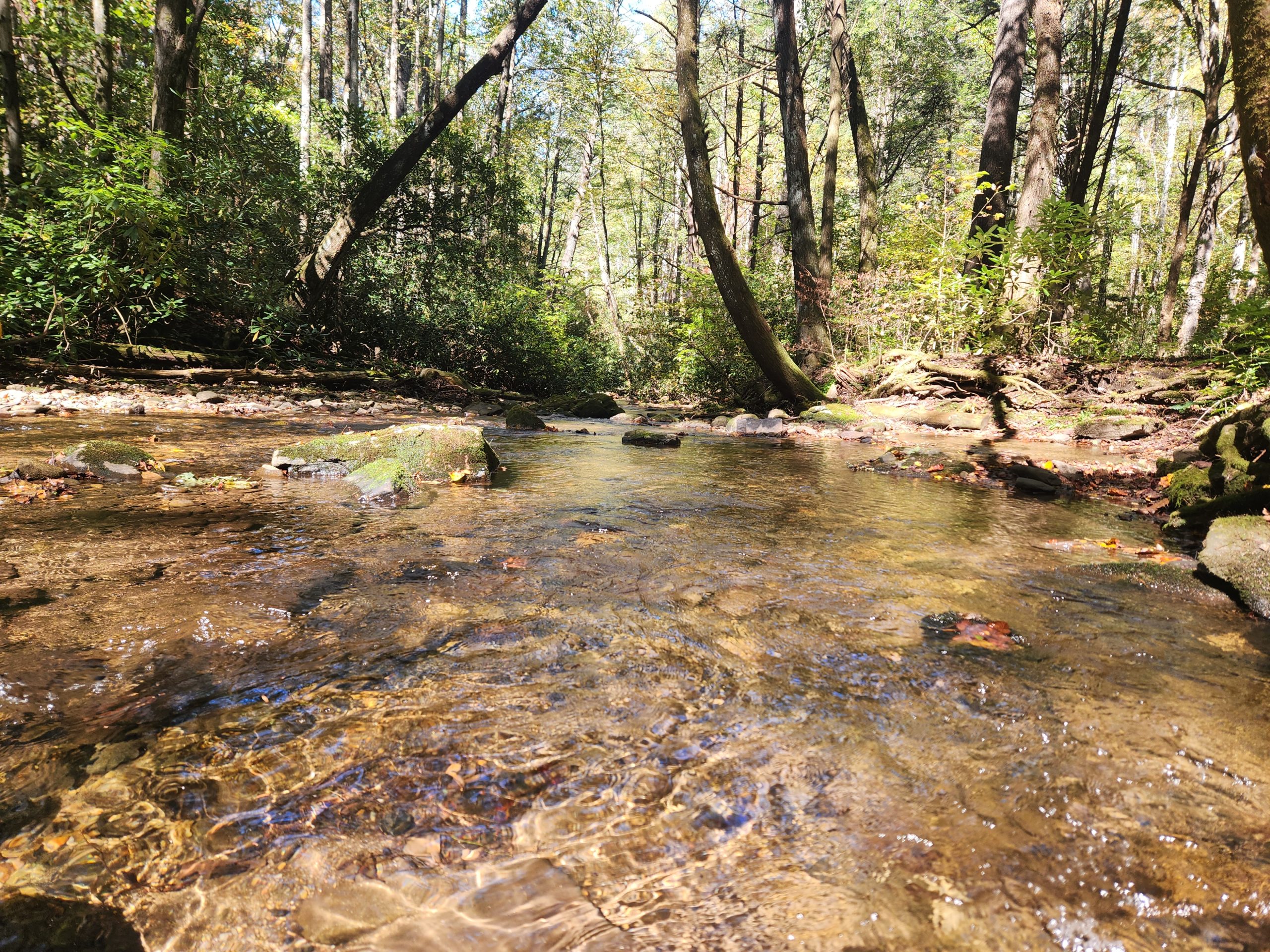
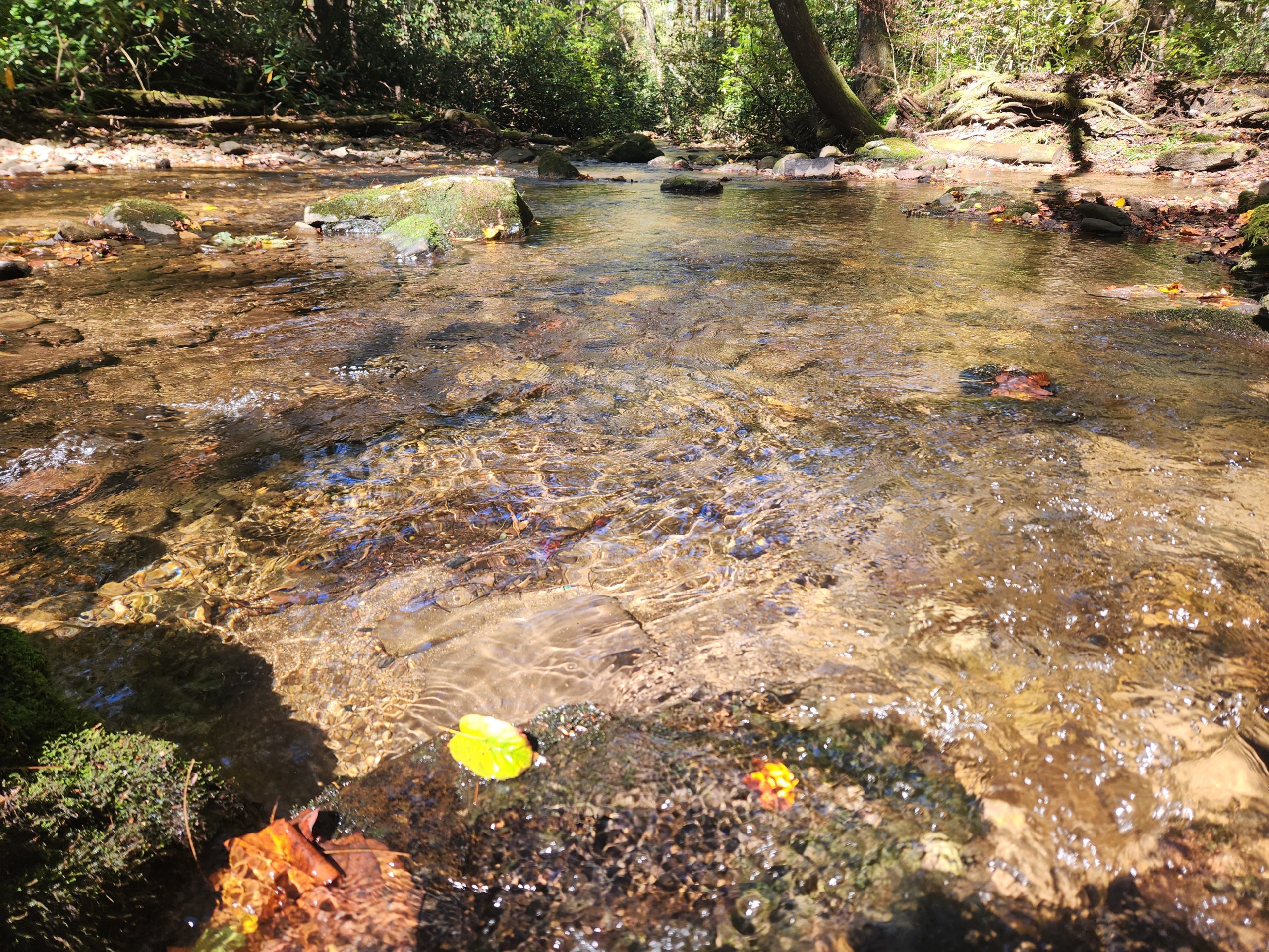
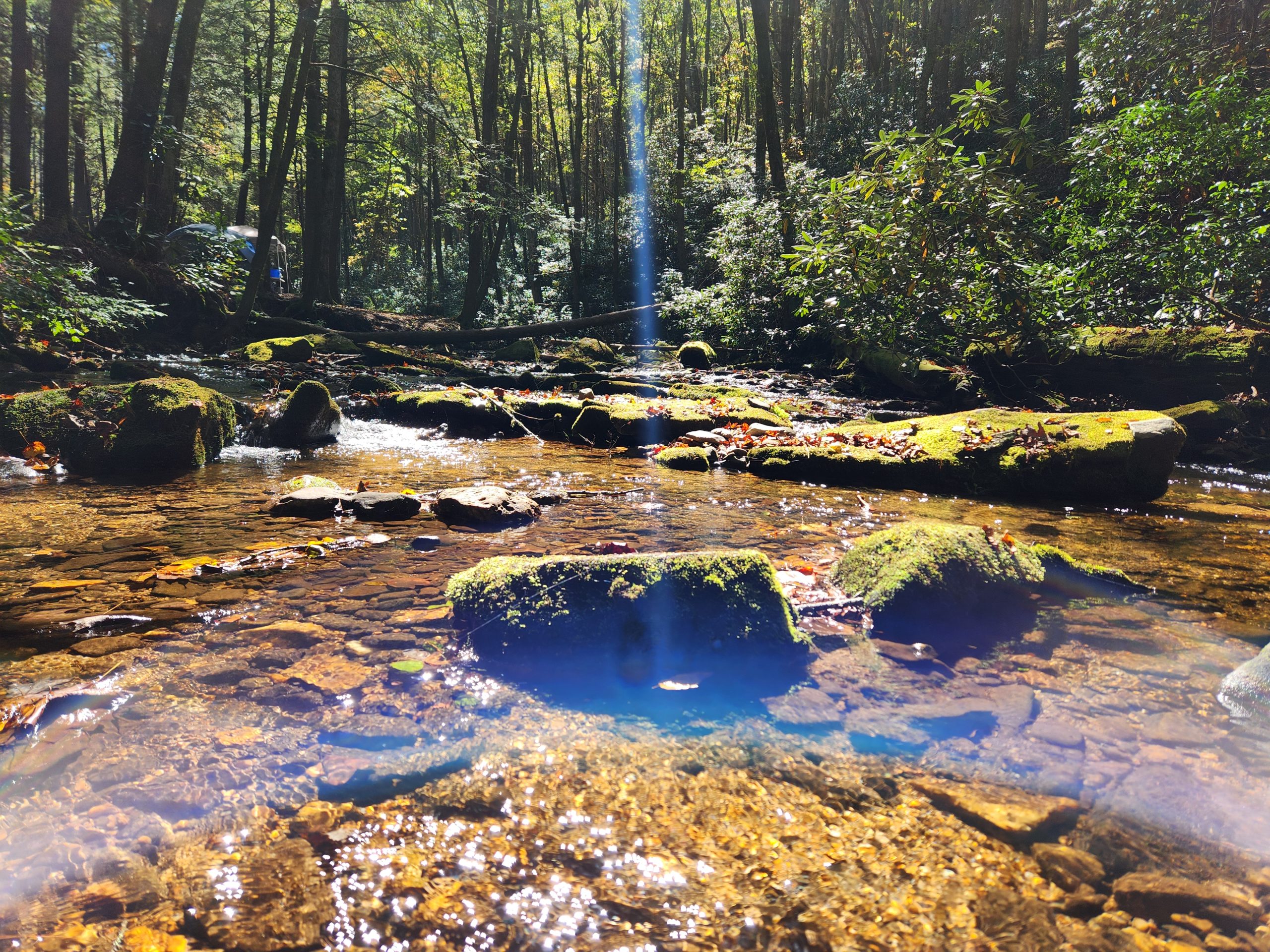
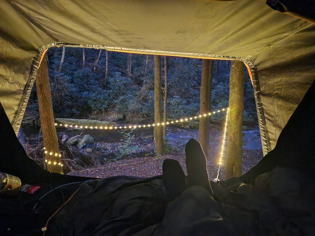
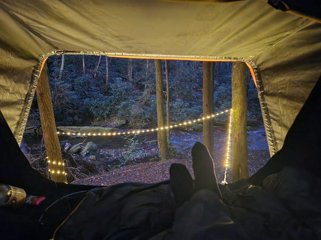
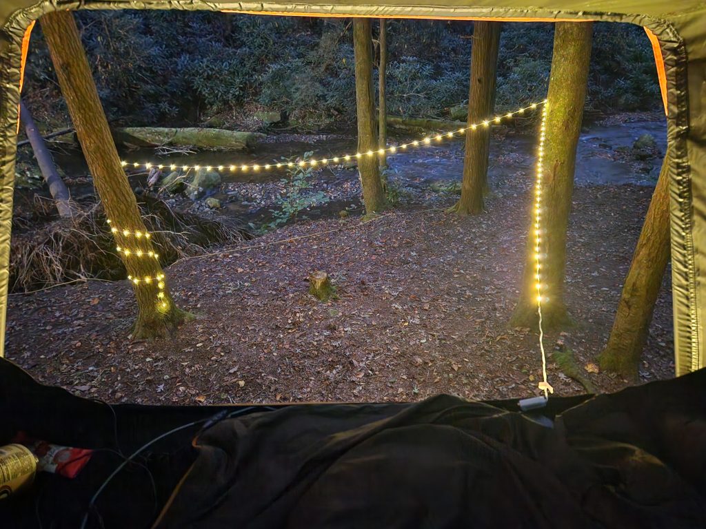
*I took different angles of the creek, 1-5 on my Relaxation Videos page.
I left around 12:30 am on Friday October 10th in hopes of grabbing a premium spot. Not the best idea at my current age! I had to stop several time to splash water on my face to stay awake on the road.
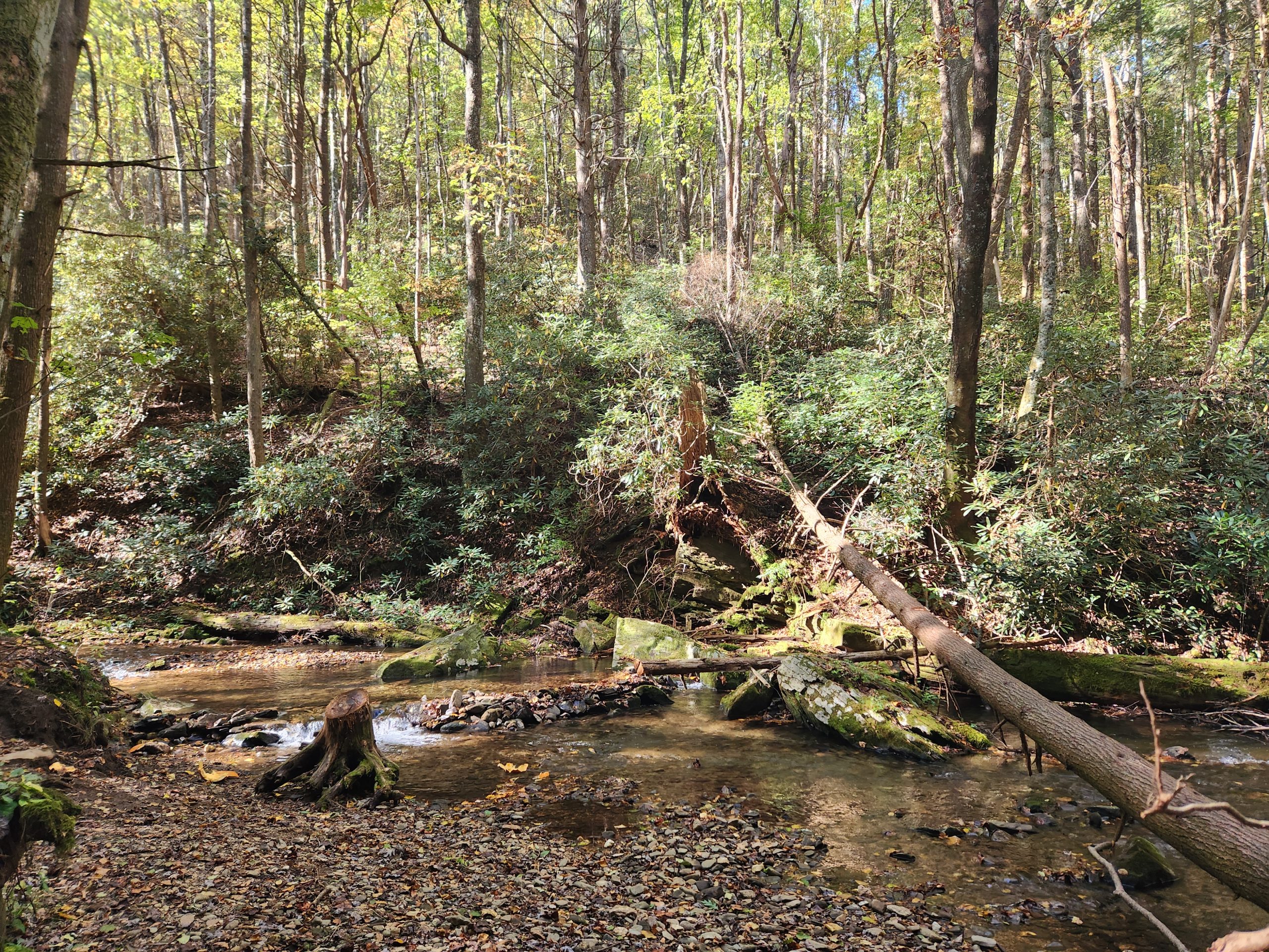
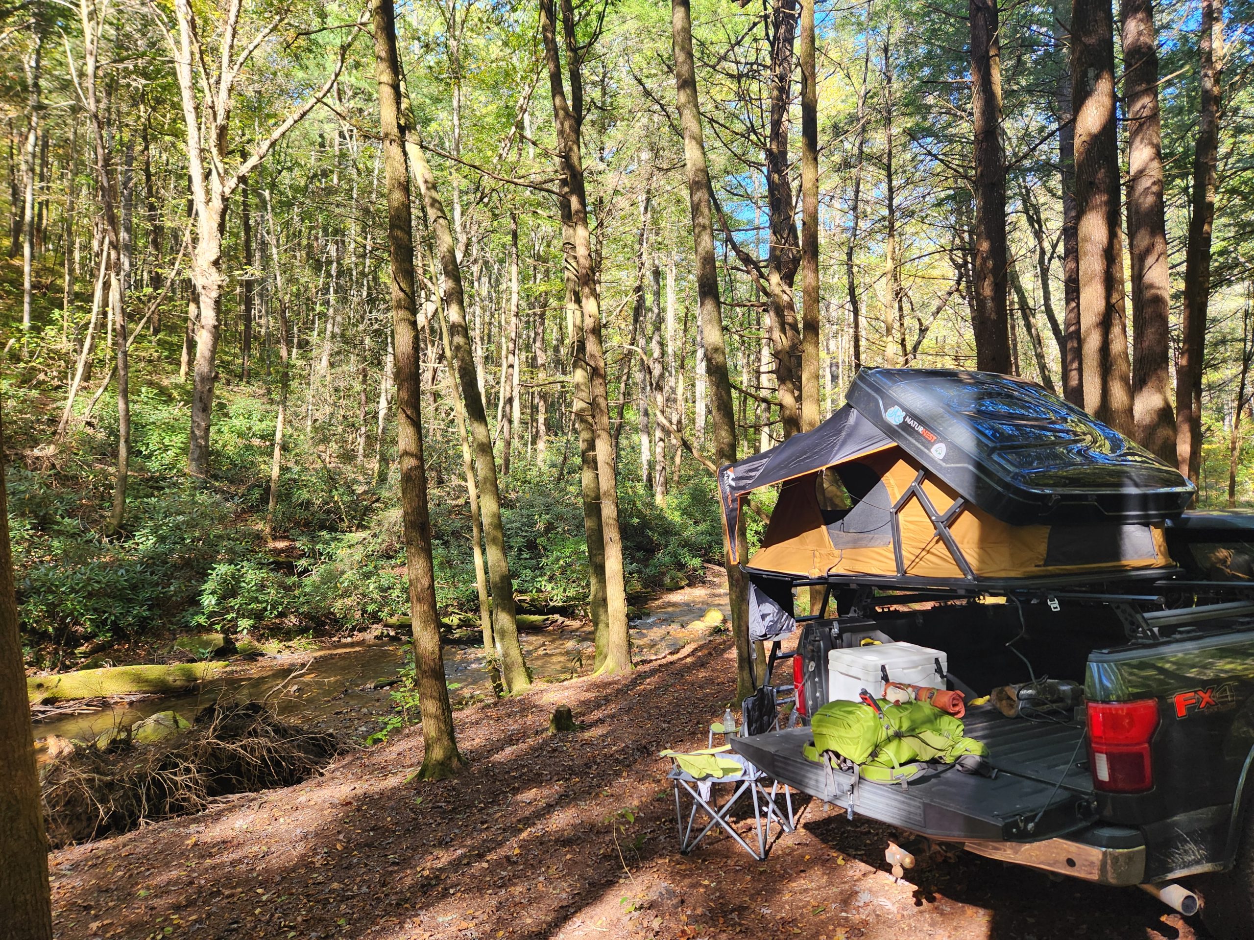
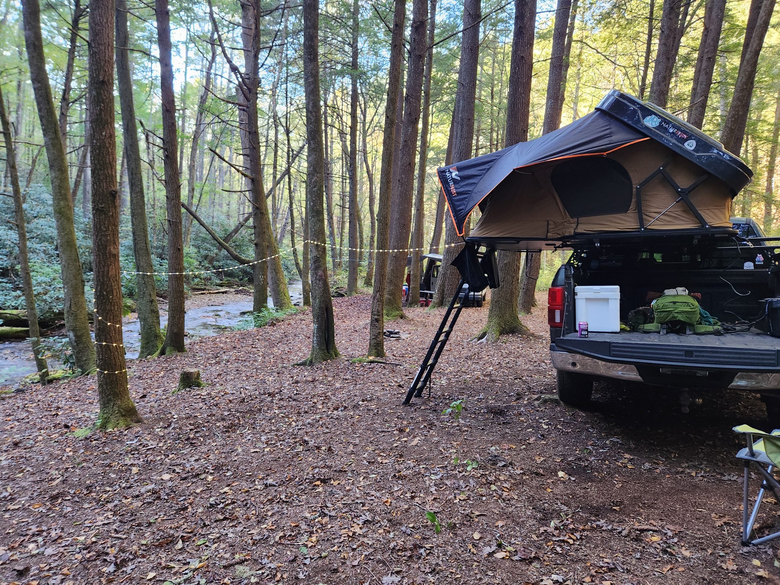
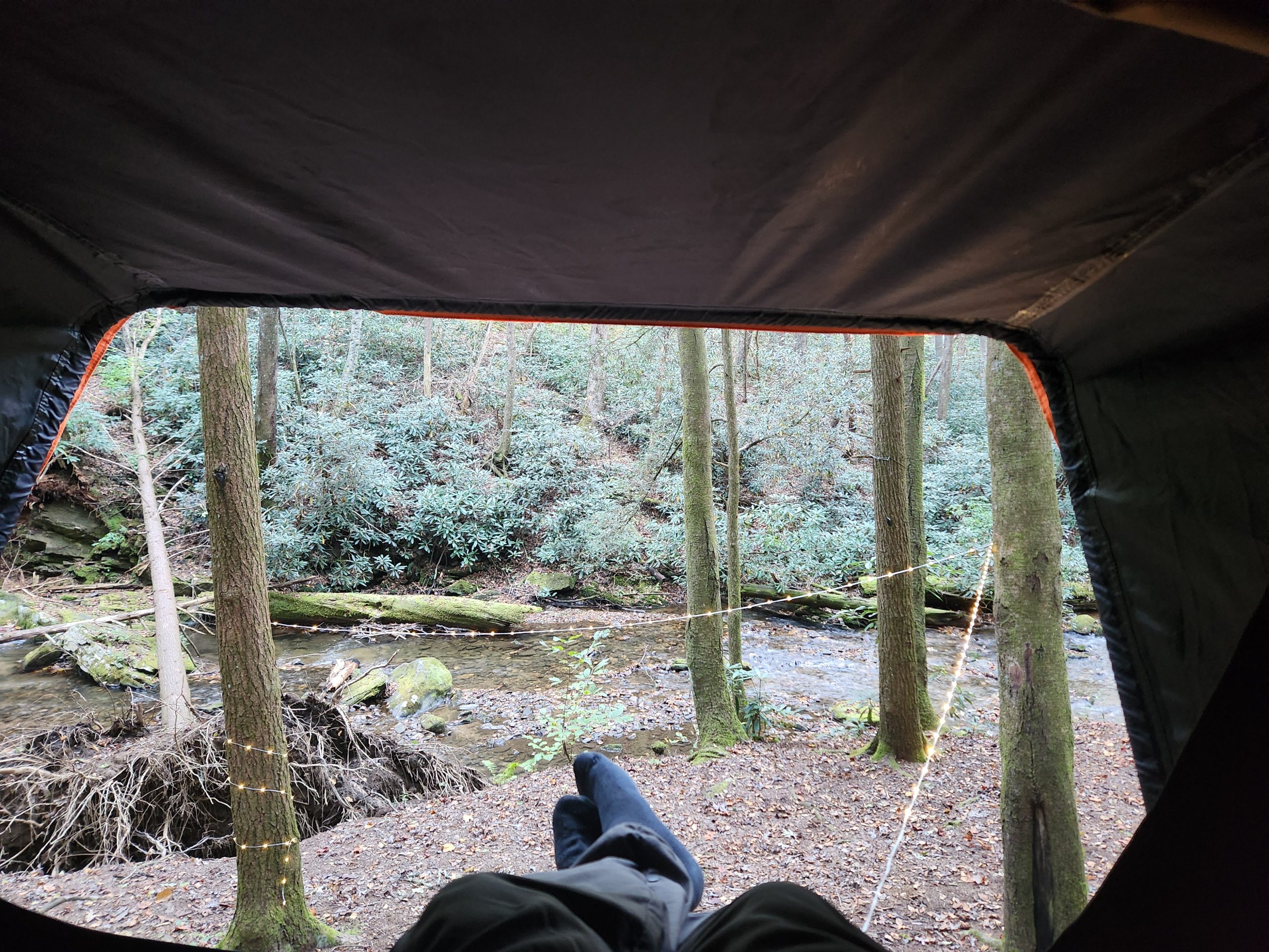
I got to the Forest Service entrance at 8:00 am and it took about an hour & a half to get to Corbin Creek. There were already campers setting up their tents. They wound up with the prime real estate but the spot I grabbed was perfect, right next to the creek. I had planned to pack up and get out by 7am.


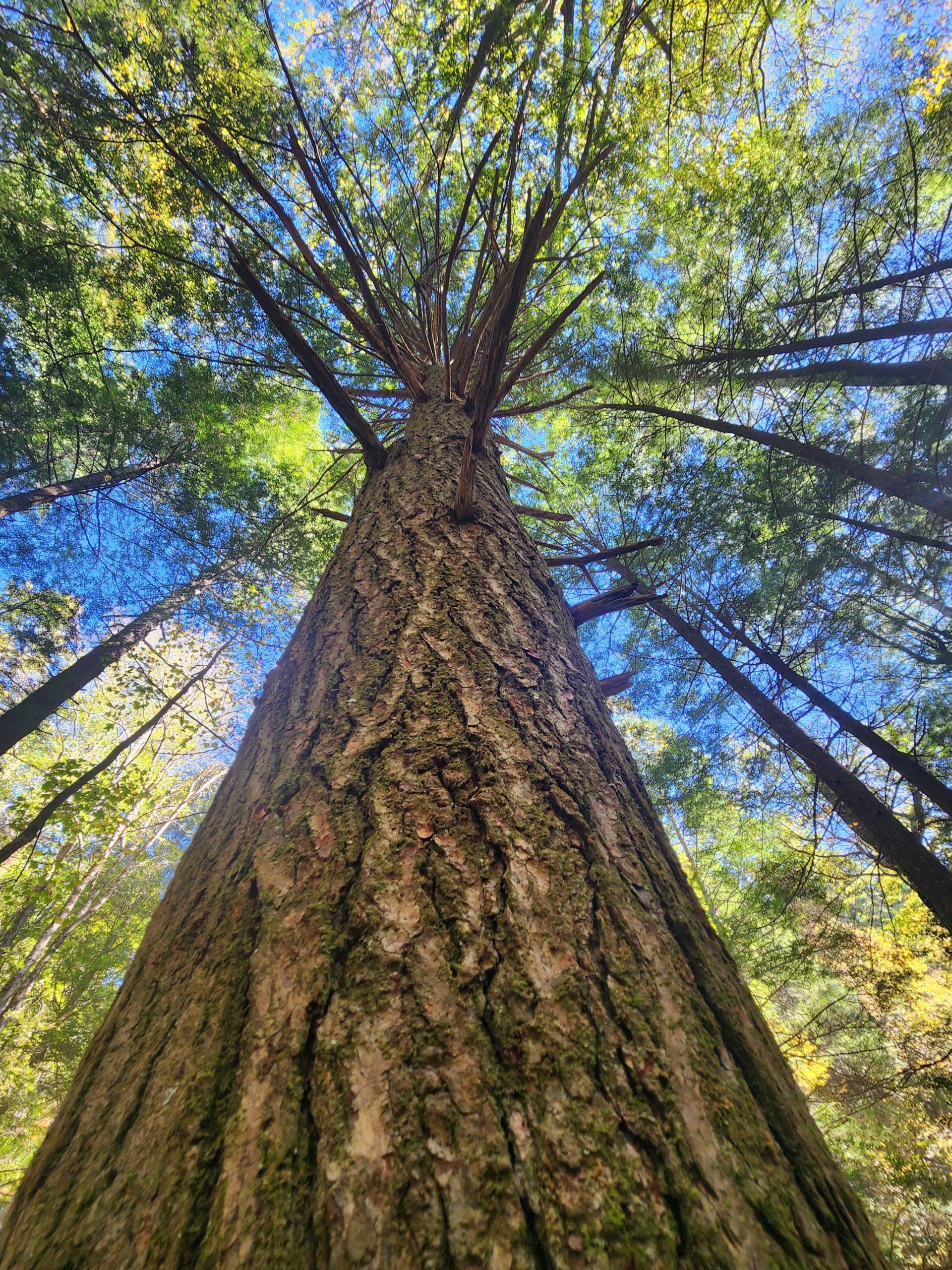
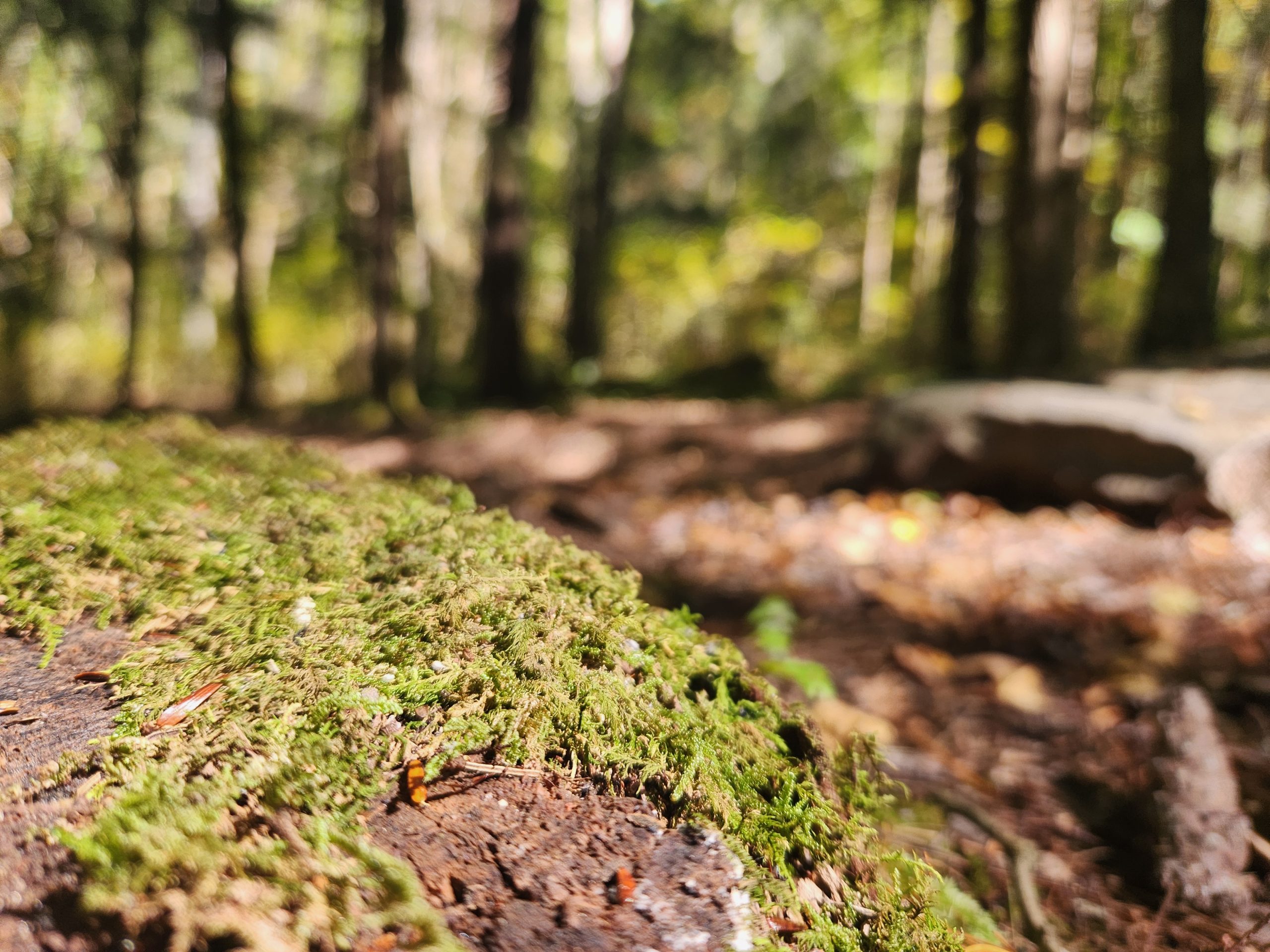
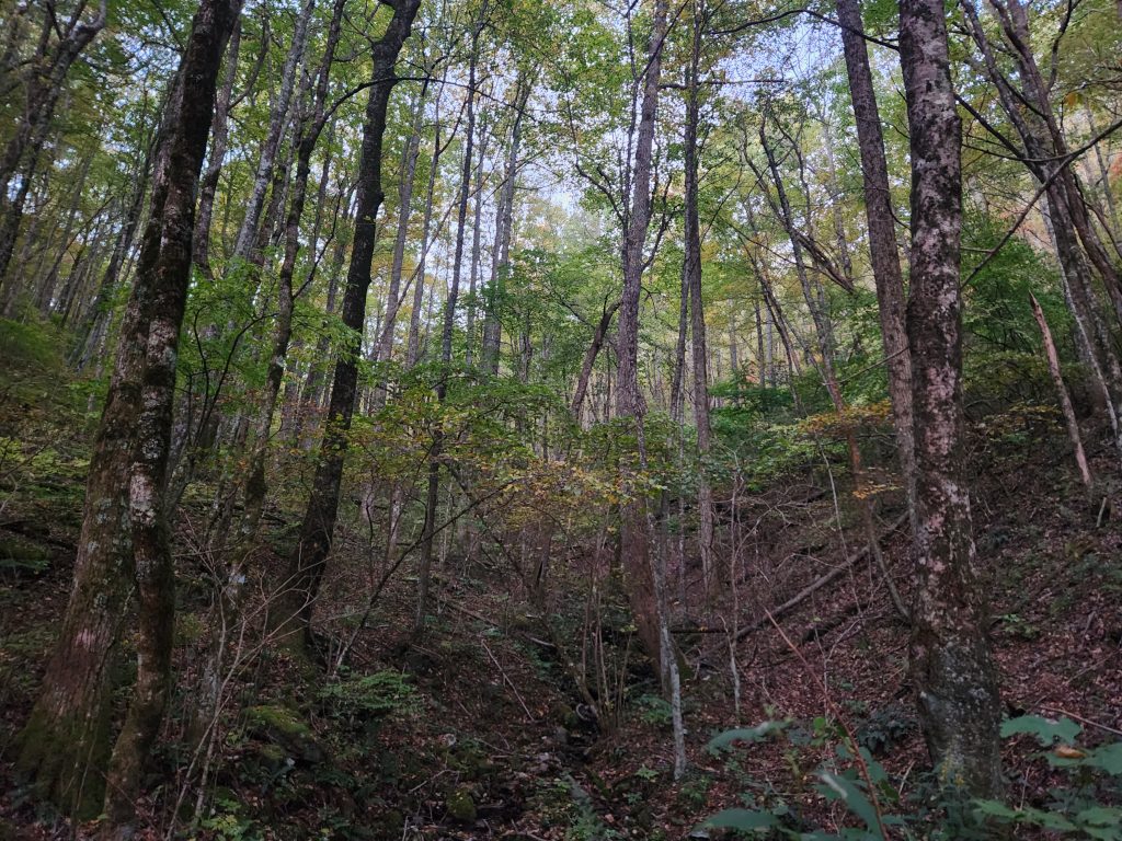
After setting up camp, I took a stroll around the creek to grab videos and also met my neighbors. Nice guys, apparently, they do this (Guys weekend) once or twice a year. It’s a perfect spot for it!


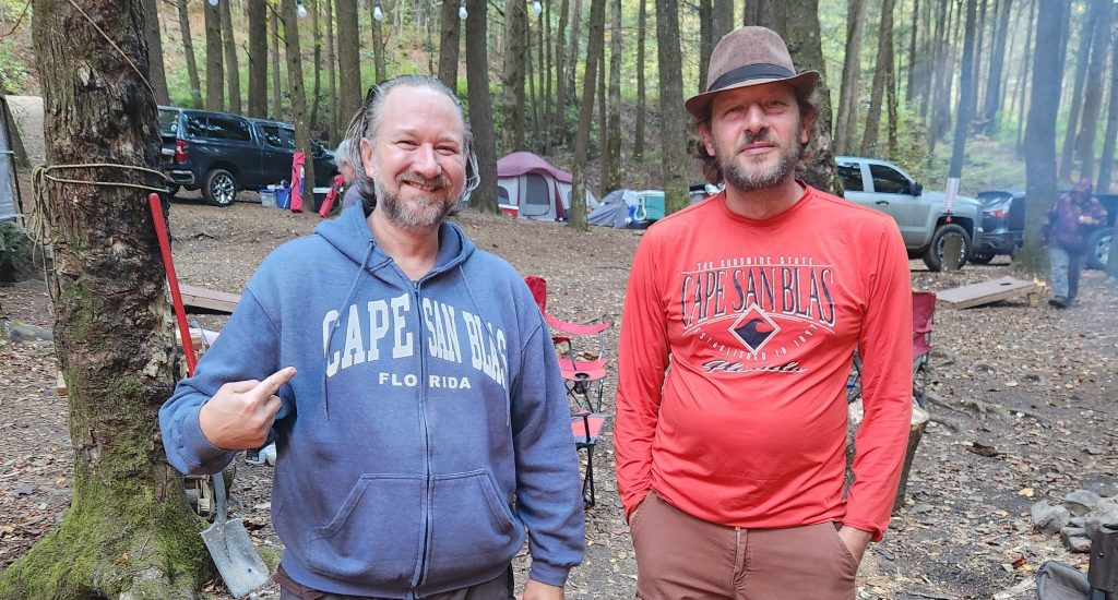
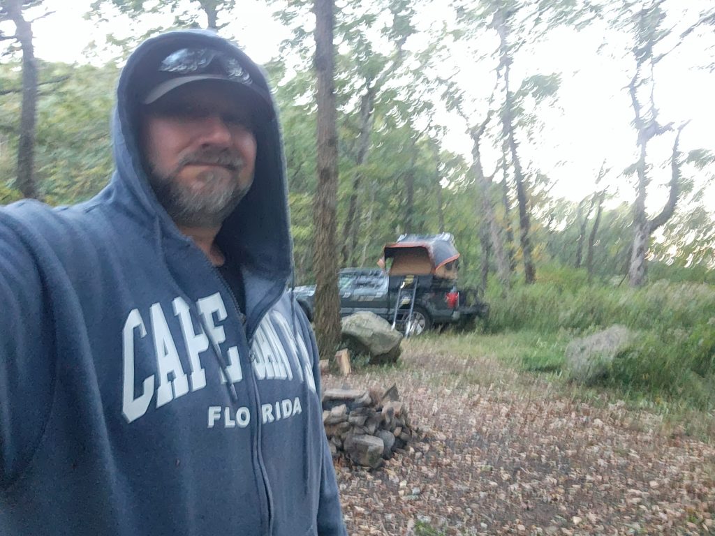
Way up here in North Georgia, I ran across another camper and I just had to get a pic of his and my shirts. What are the odds two people that have never met before, converged in N. GA on the same night and both be wearing a logo from Florida’s Cape San Blas on the Gulf?
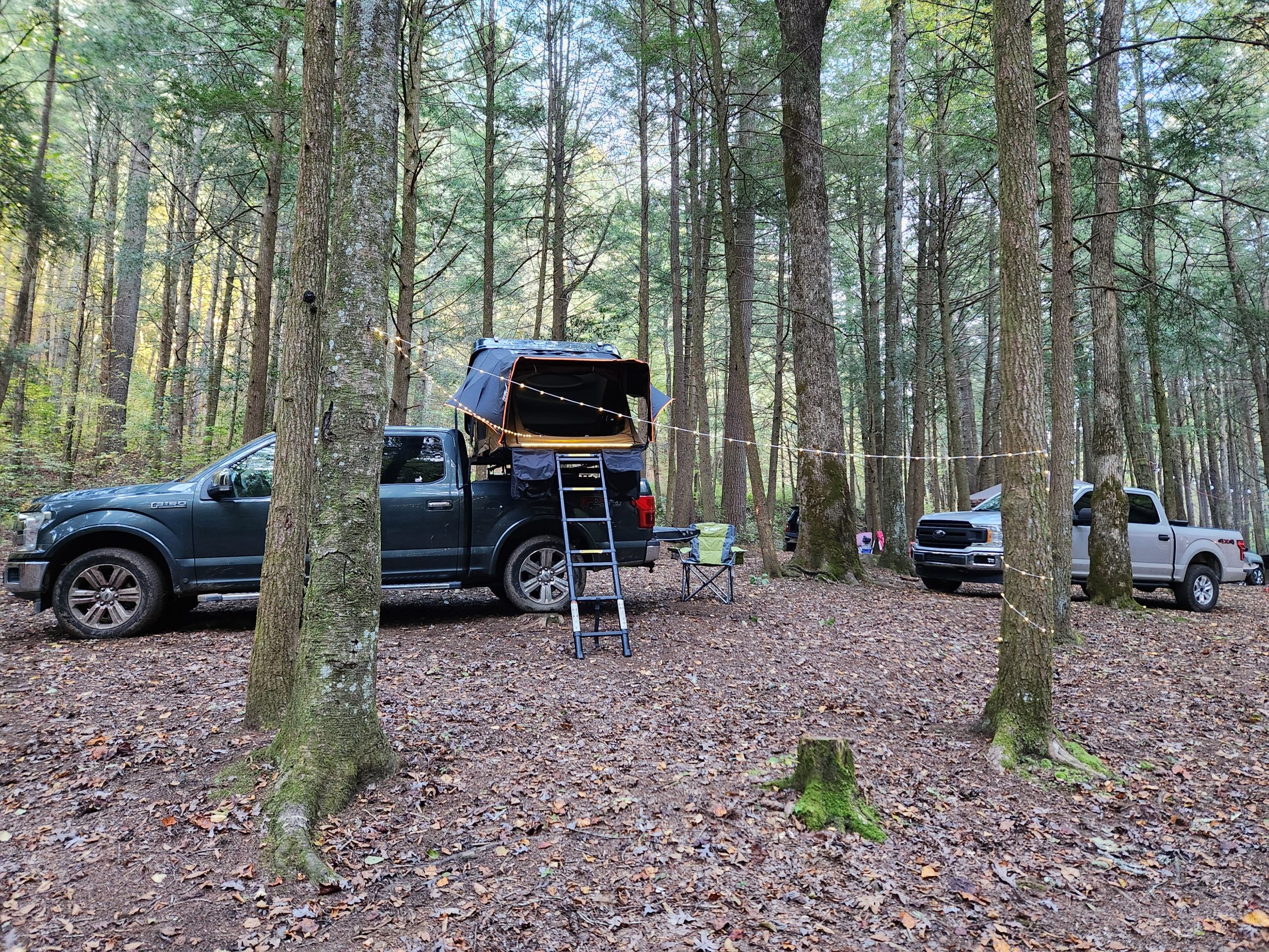
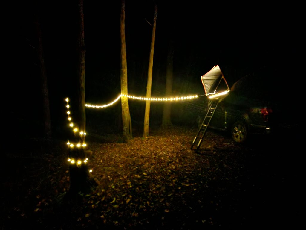
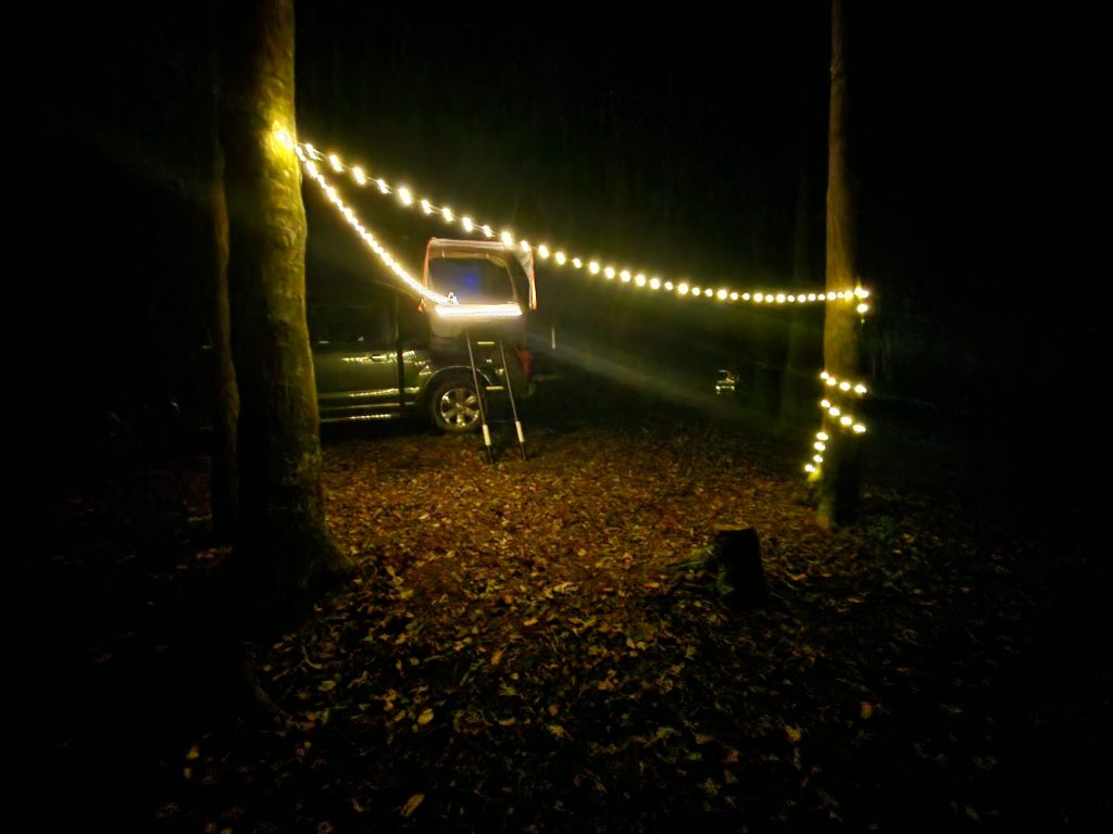
I was going on zero sleep, I took a short nap. When I woke up I went and chatted with the neighbors and a few other friends of theirs showed up later. They cooked a big meal and invited me over, but I wasn’t that hungry. Thanks guys, if you’re reading this! I went back to setup my lights and started writing.
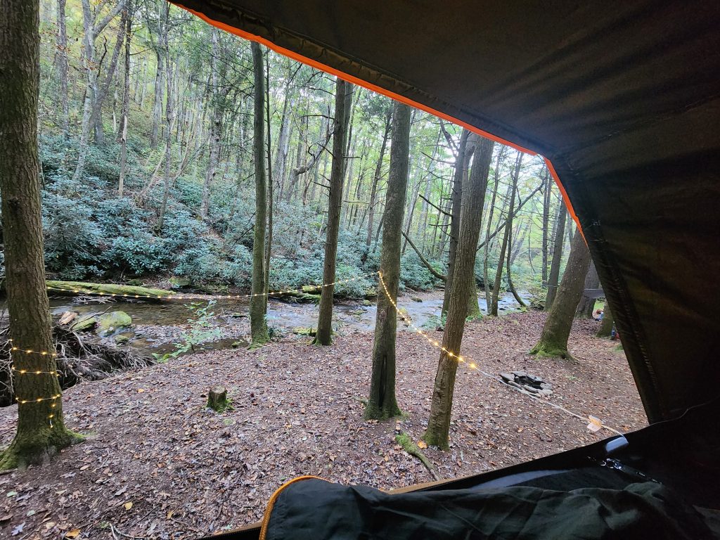
I crashed out around 7/8 pm. The flowing creek, the sound of faint music and kids playing cornhole was quite relaxing, I mean, let’s be honest, dangerous wildlife would likely leave me alone in this scenario. 🤣
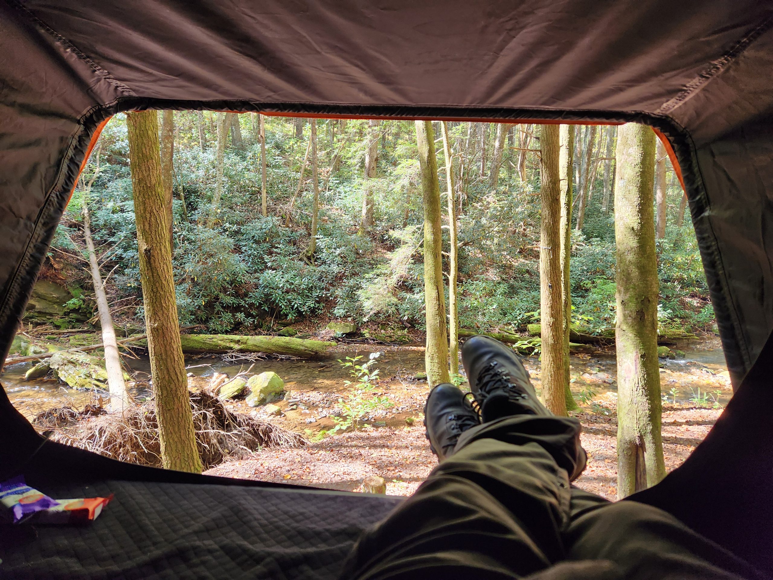
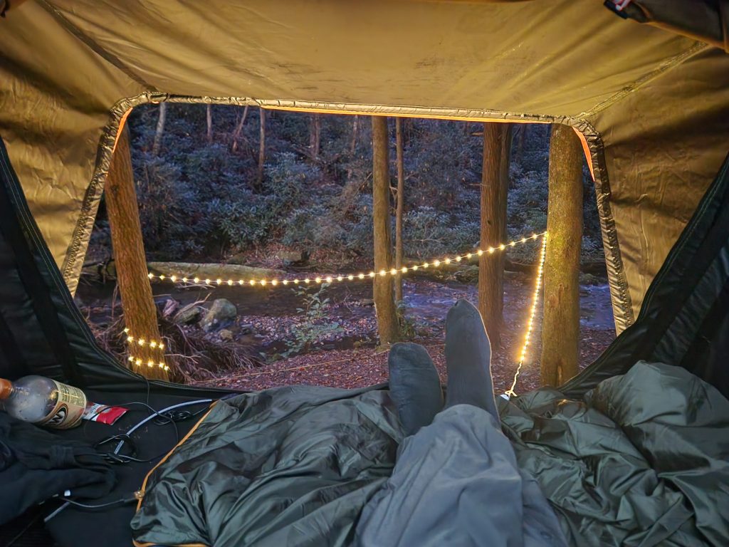
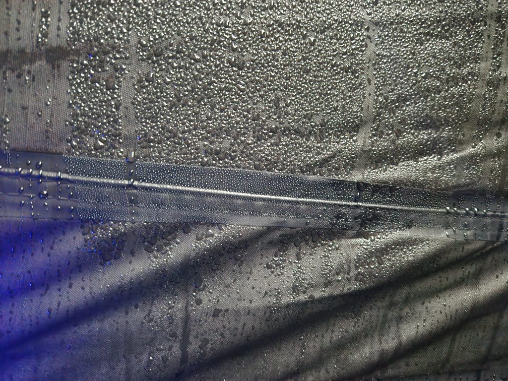
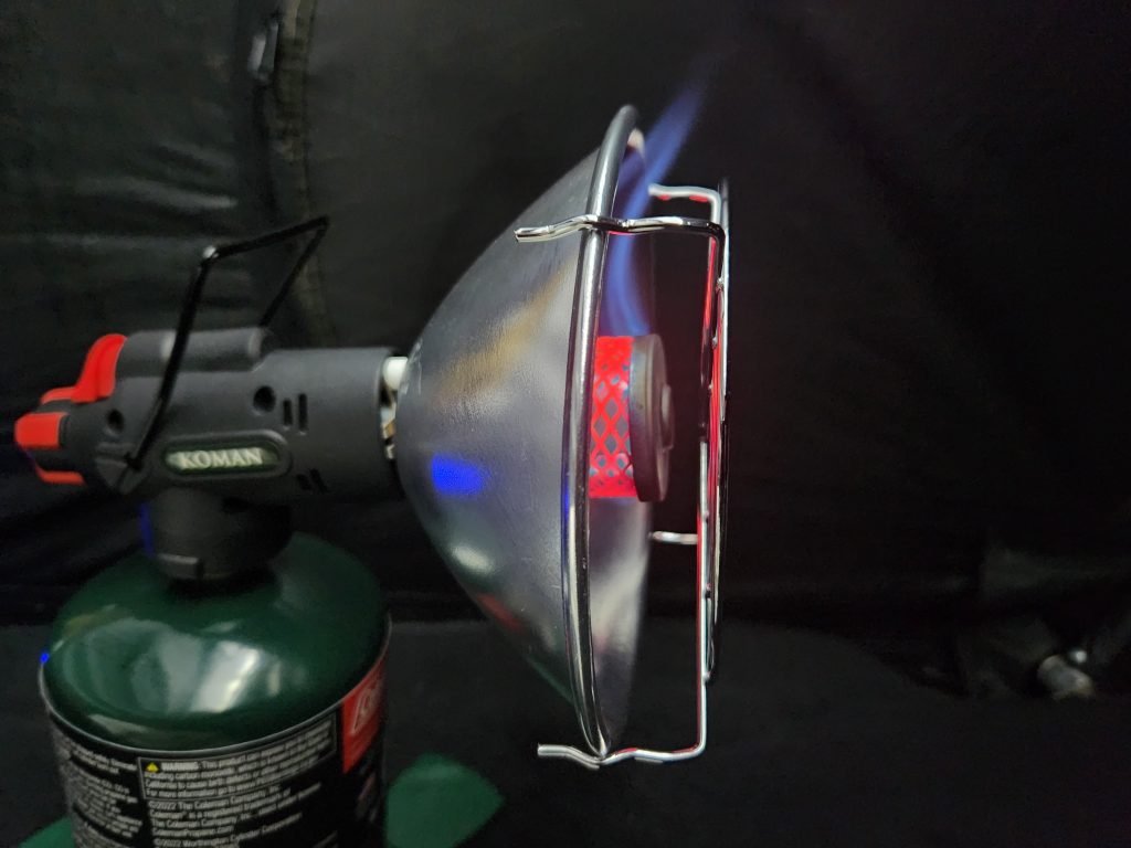
After dusk, the cold came. I was trying to conserve fuel, I would heat the tent for 30 minutes and then shut it off. I didn’t want to knock it over while sleeping! After waking up freezing for the 3rd time, I relocated it and left it on extremely low and went back to sleep. The only drawbacks were, condensation on the lower 1/3rd inside my tent, I only brought one canister, and it was almost entirely used up in one night. But I had plenty of blankets for night #2.
I woke up @ 3:30am, stayed up, cleaned the tent and got packed. My dumbass shut off my Garmin GPSMAP device the night before. The battery seemed like it was draining faster, and I needed a full charge for my hike. Several messages came though from the night before. Sorry about that for any concerned friends & family. Even the satellite service was crappy due to the tree canopy.
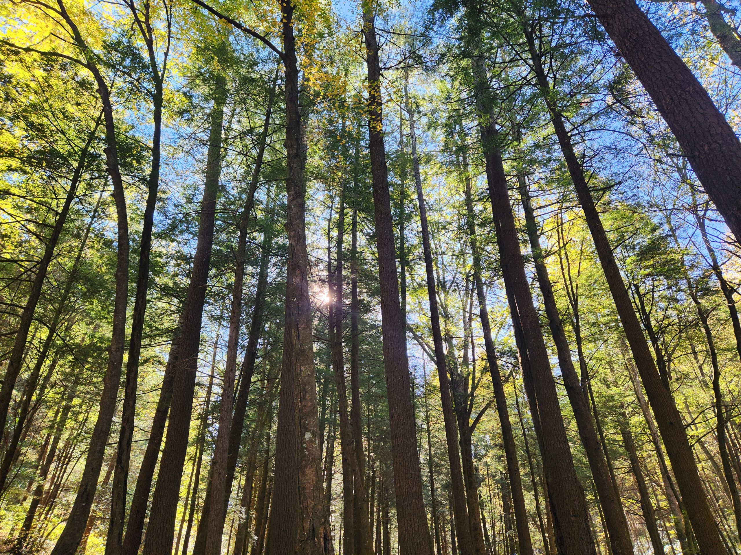
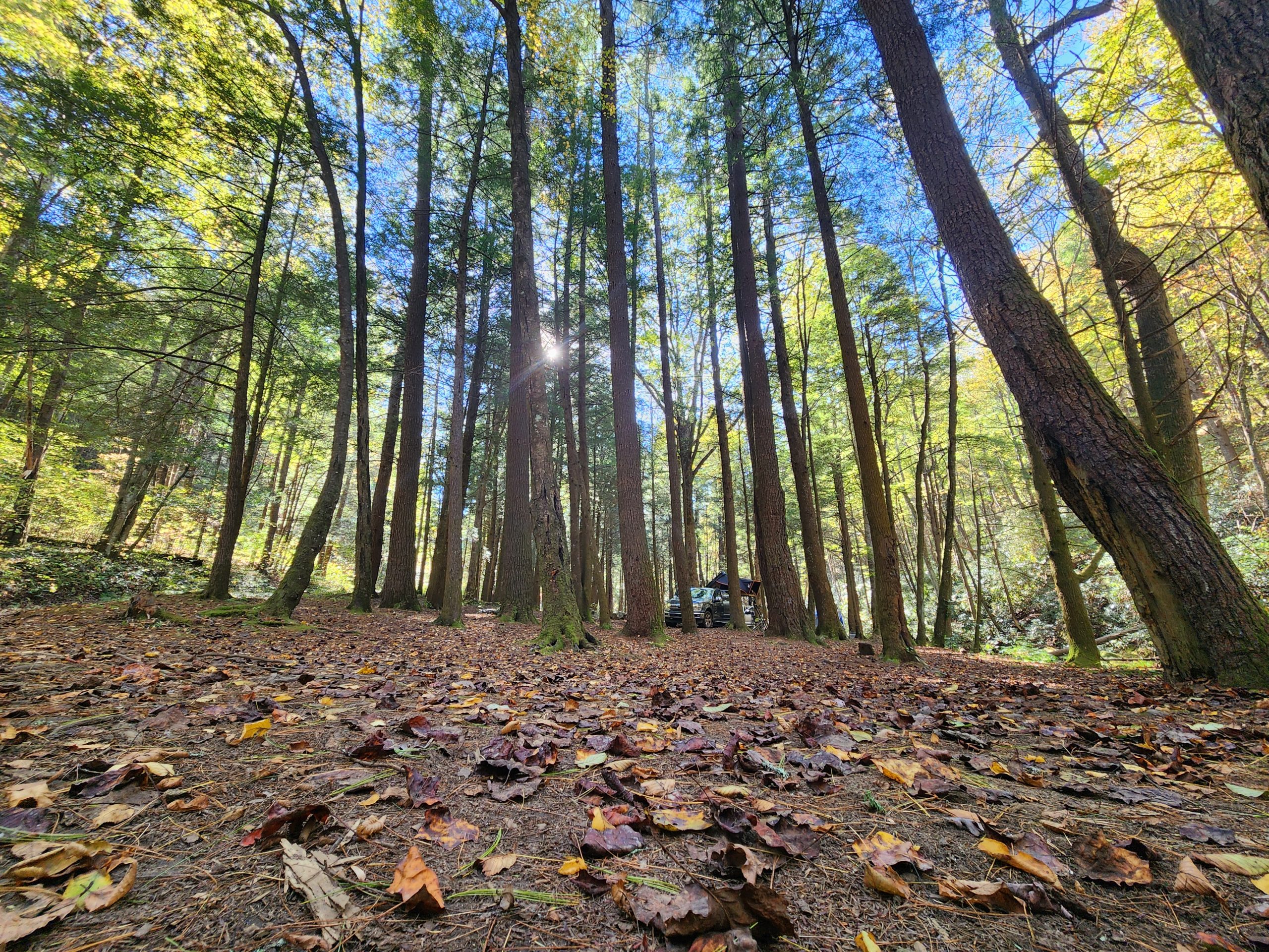
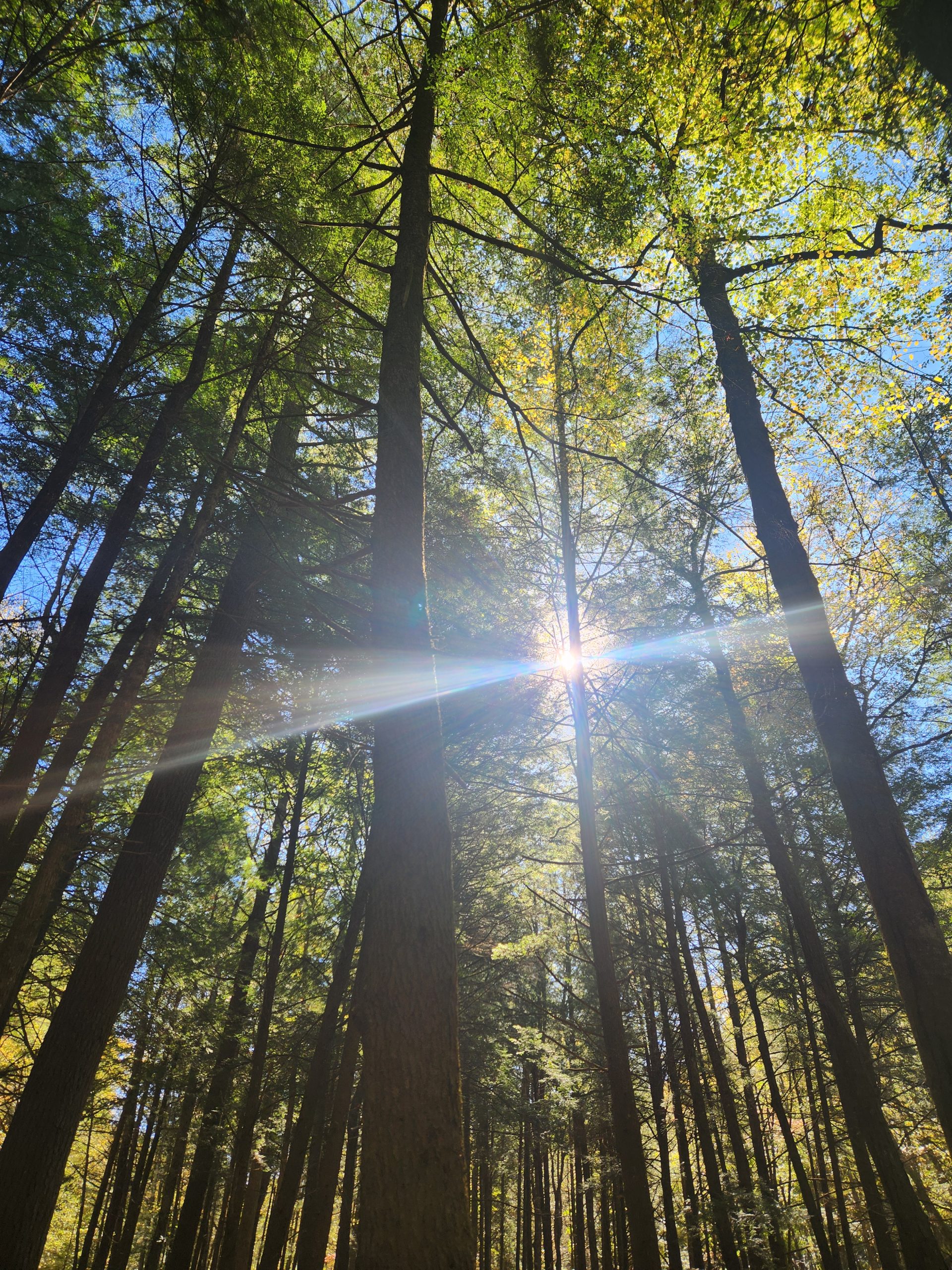
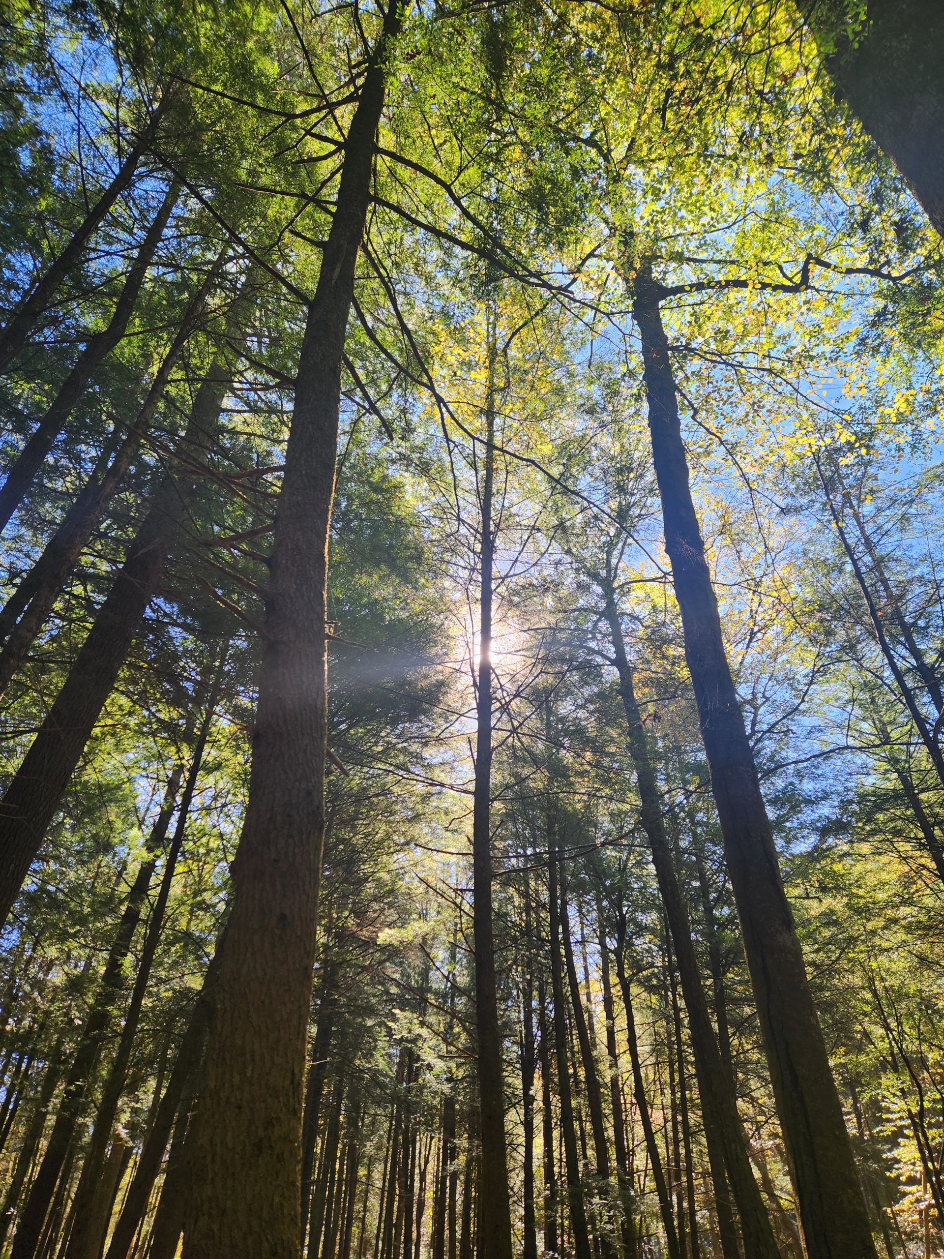
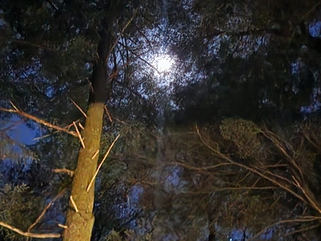
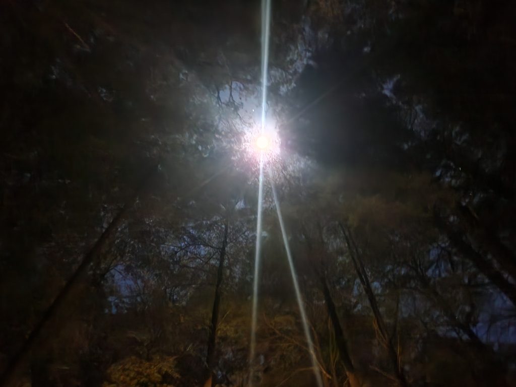
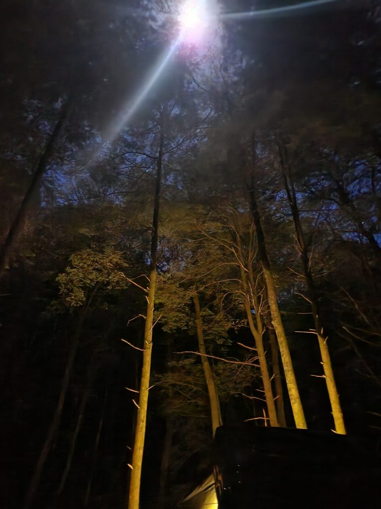
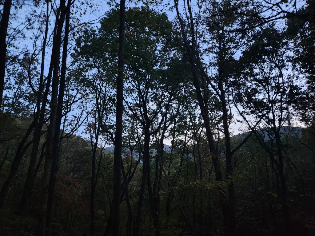
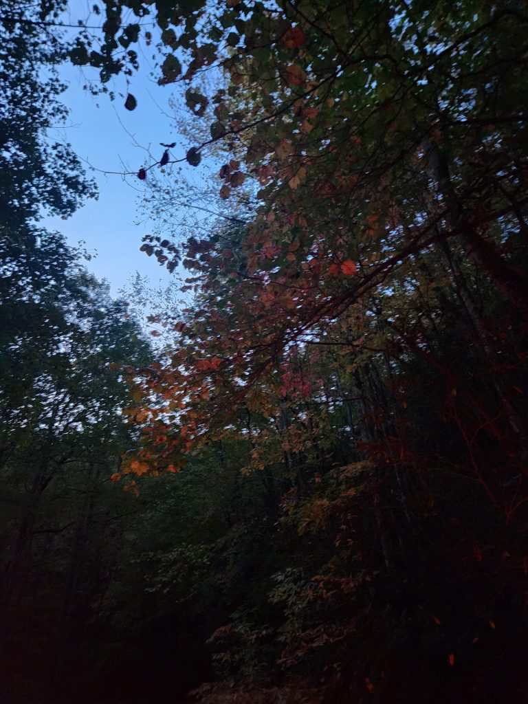
Some of the images below were taken in night mode with a slower shutter speed, hence the reason you can see the tree trunks better in some.
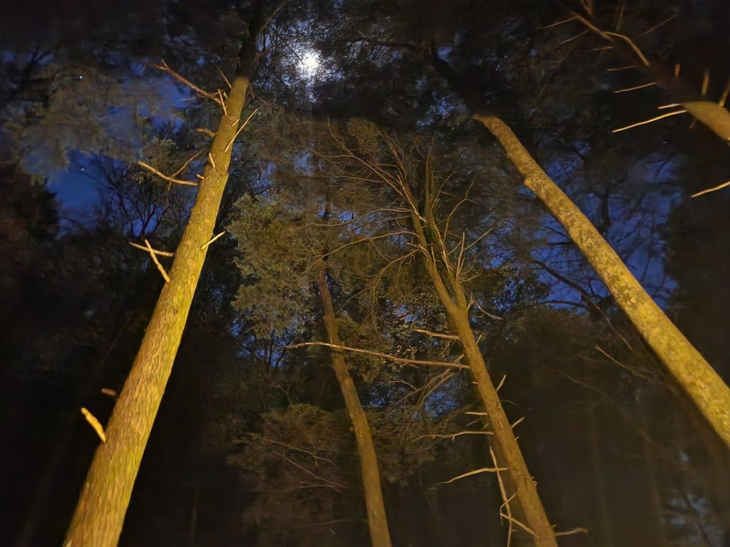
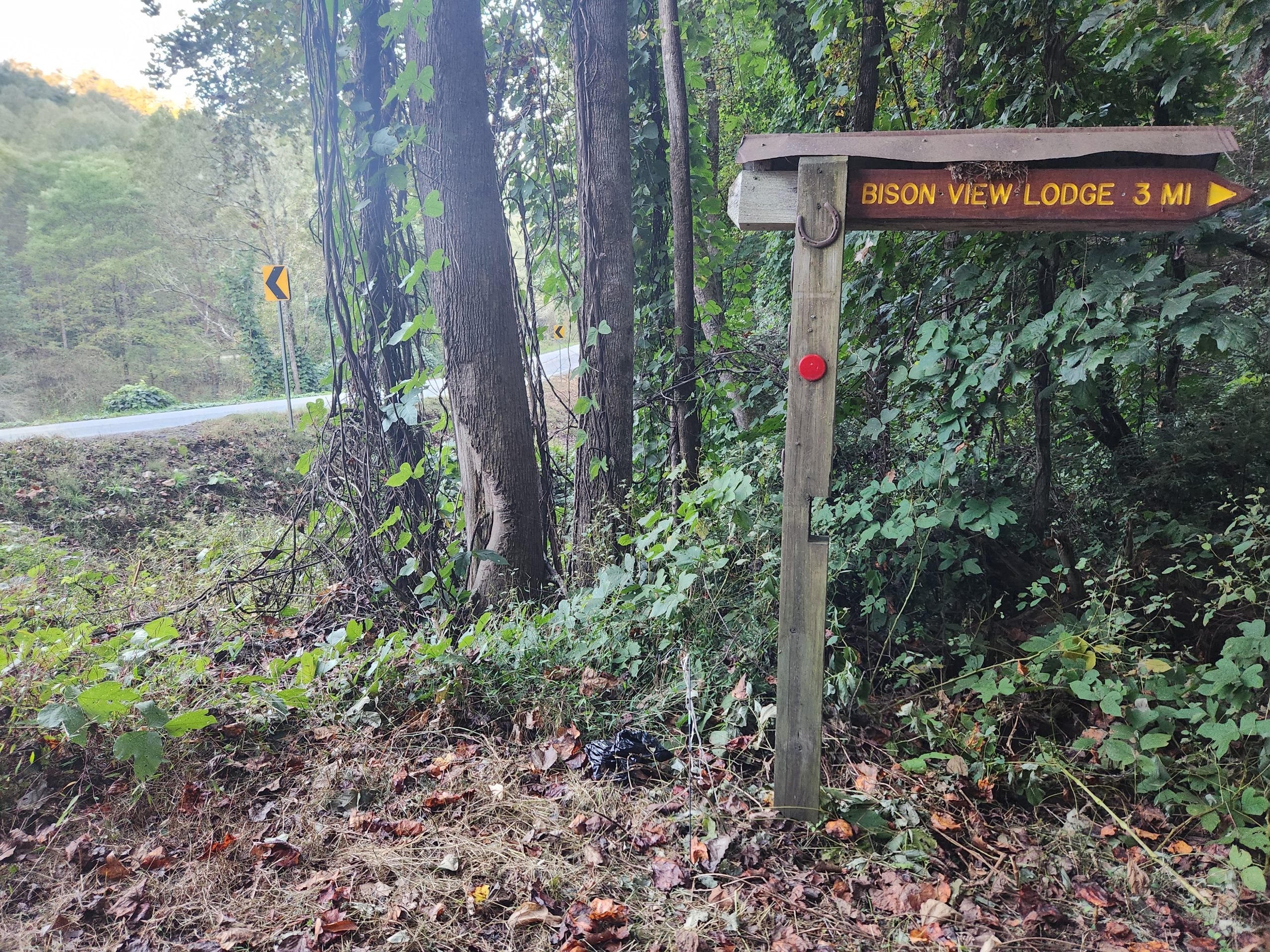
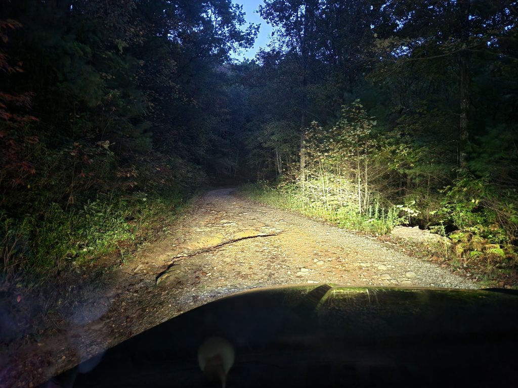
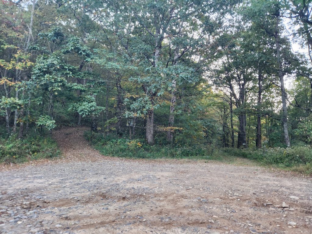
I took some pictures on the ride up the mountain. A huge benefit to going up before the sun is your headlights show how deep the ruts are! I got to Tray Gap at 8am, opened my tent up to let it dry out, had some oatmeal and headed for the trail.
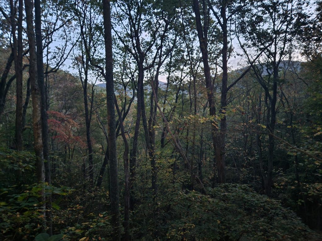
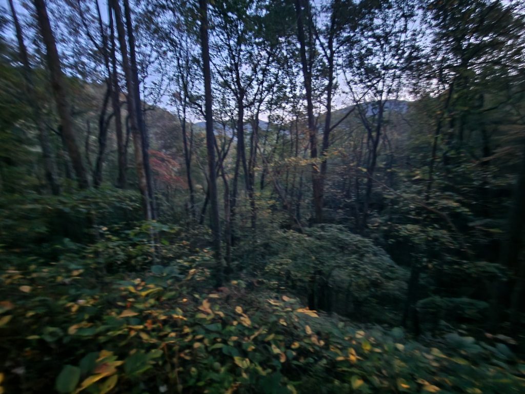
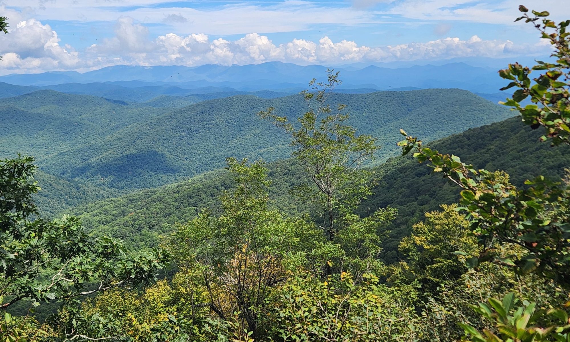
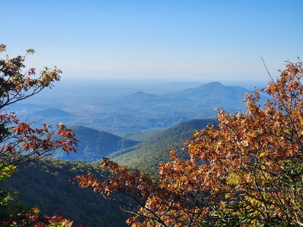
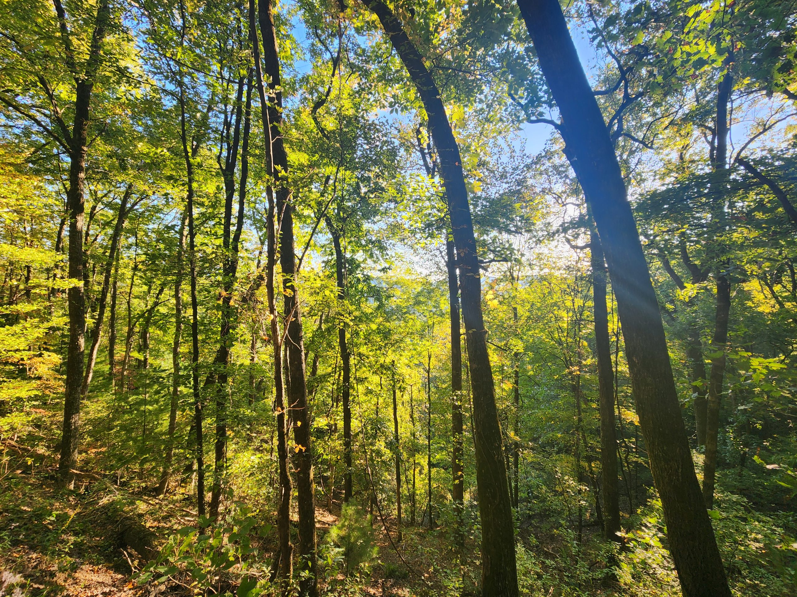
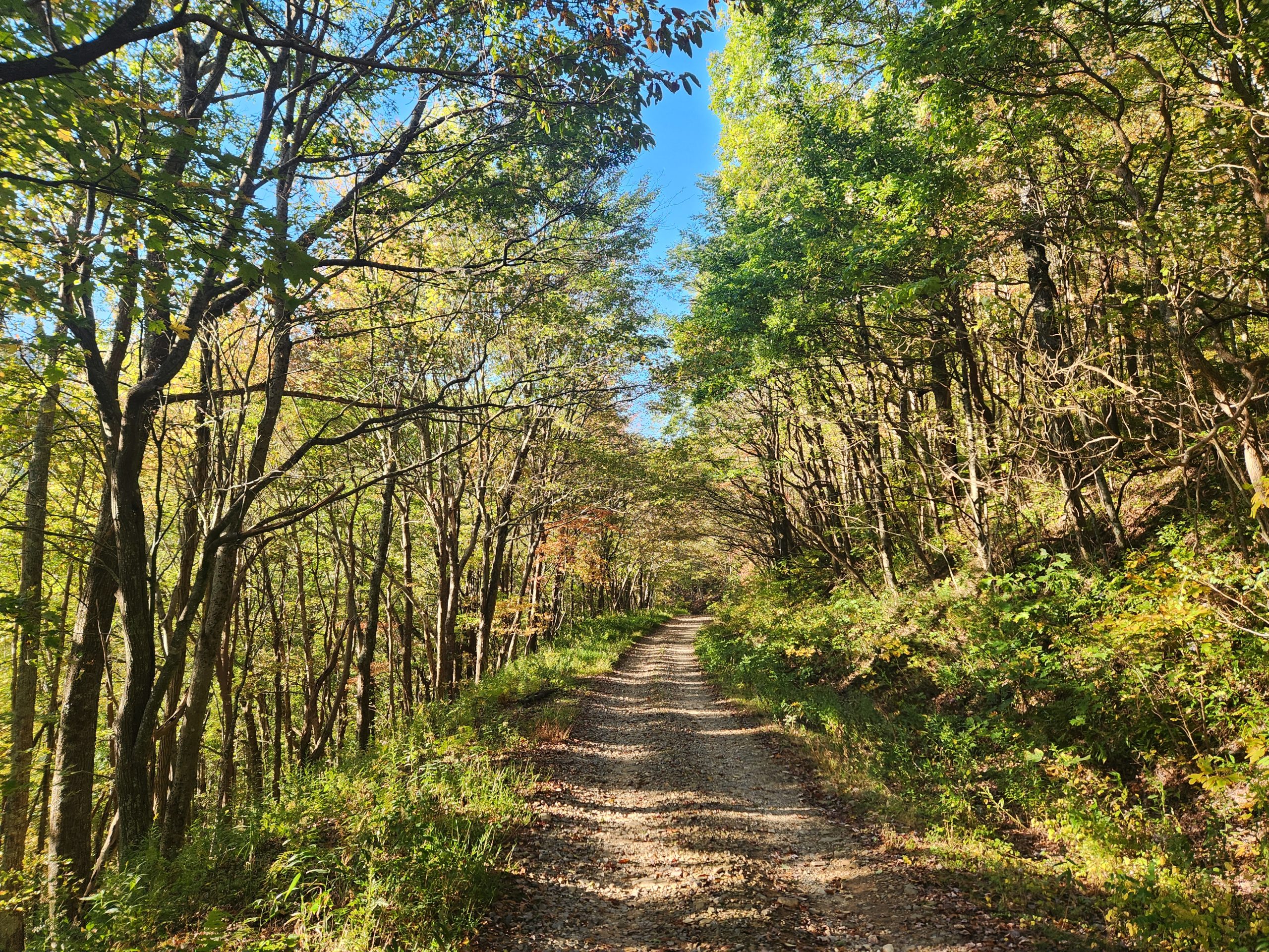
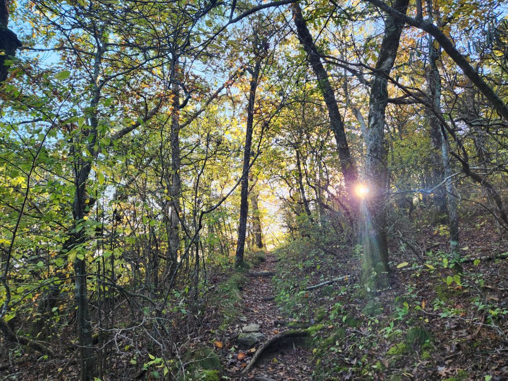
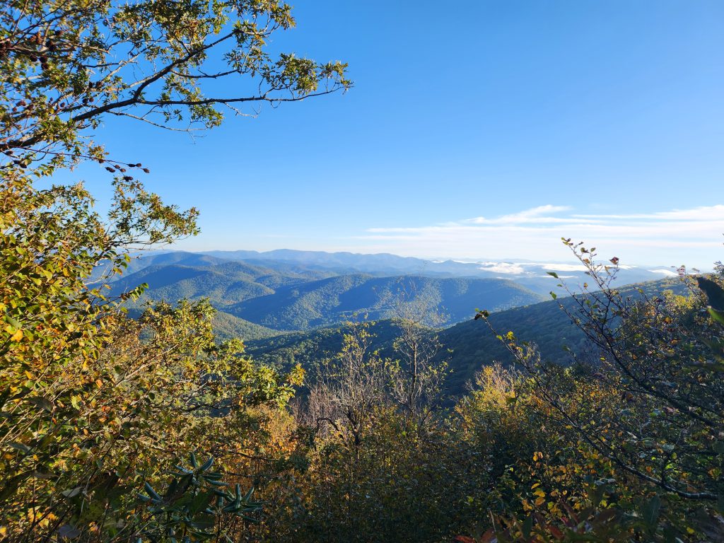
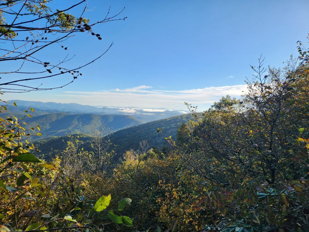
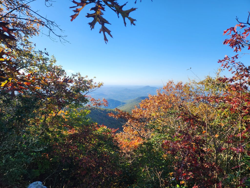
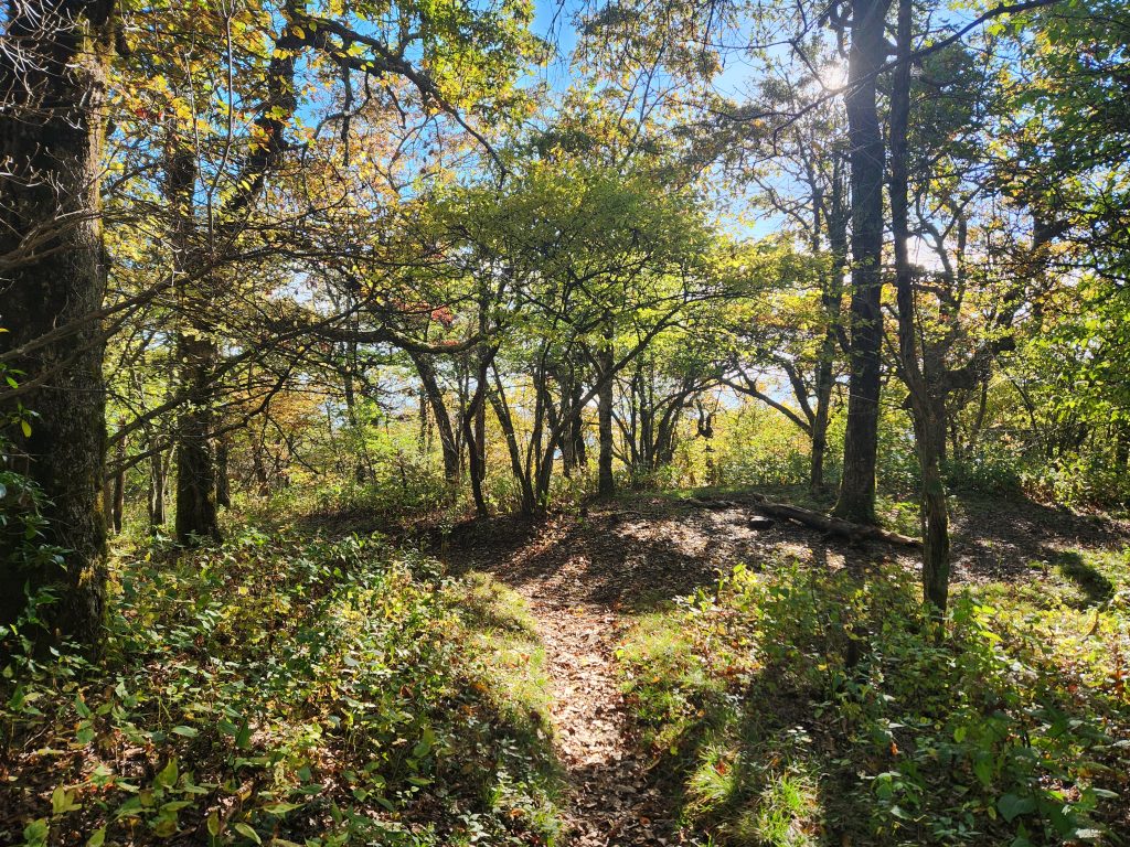
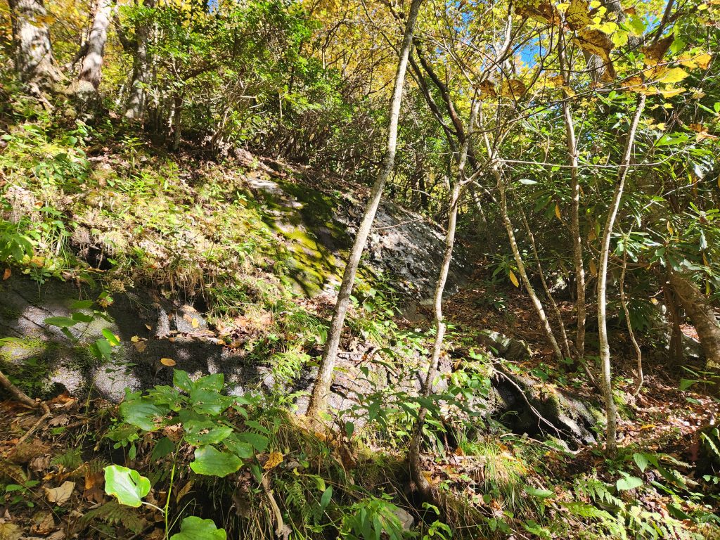
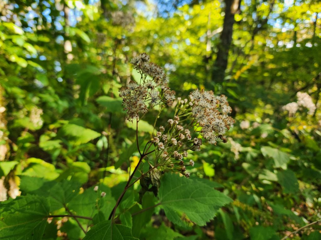
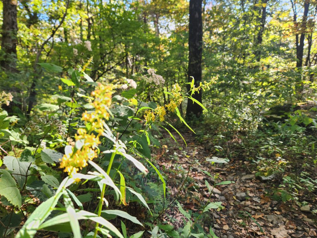
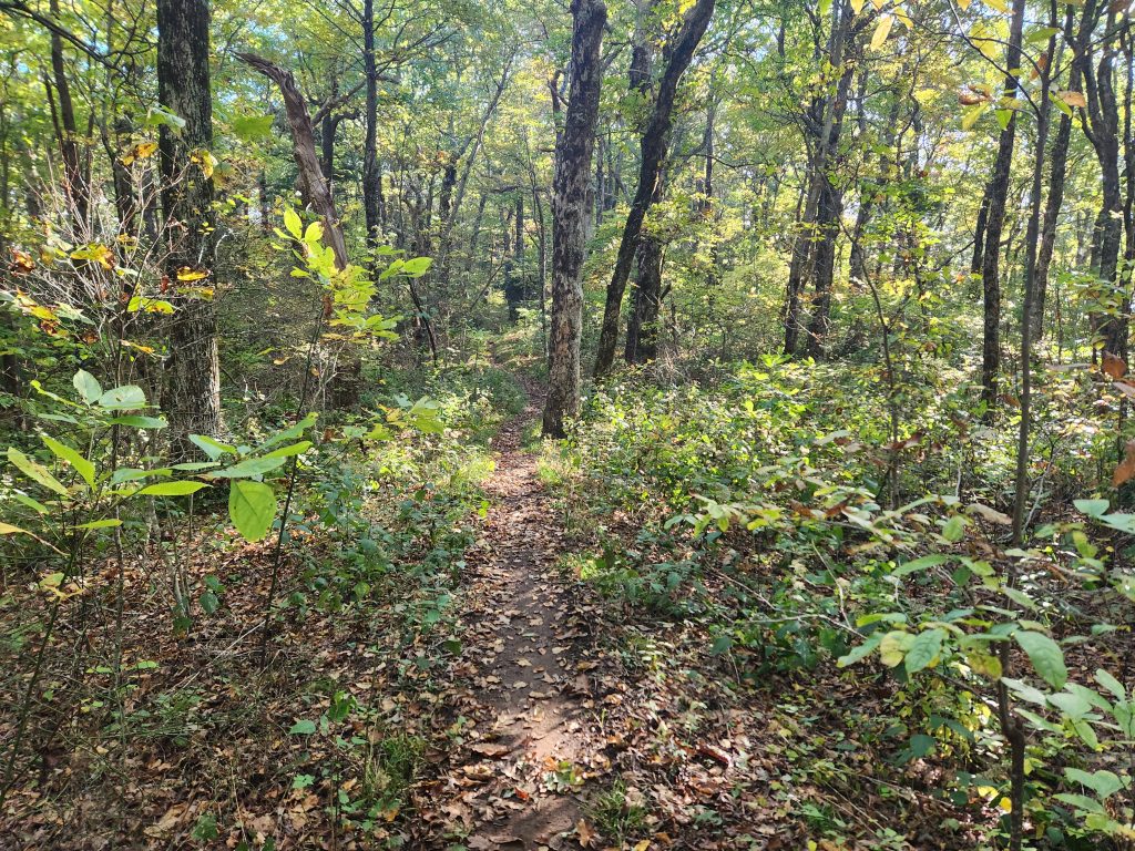
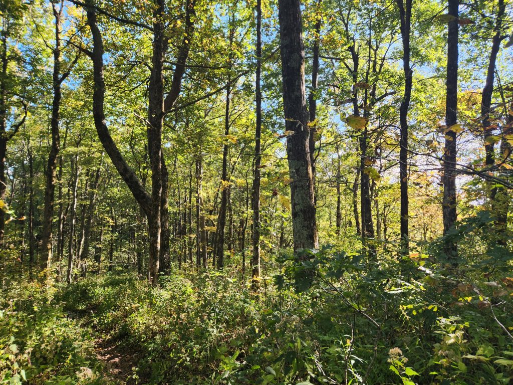
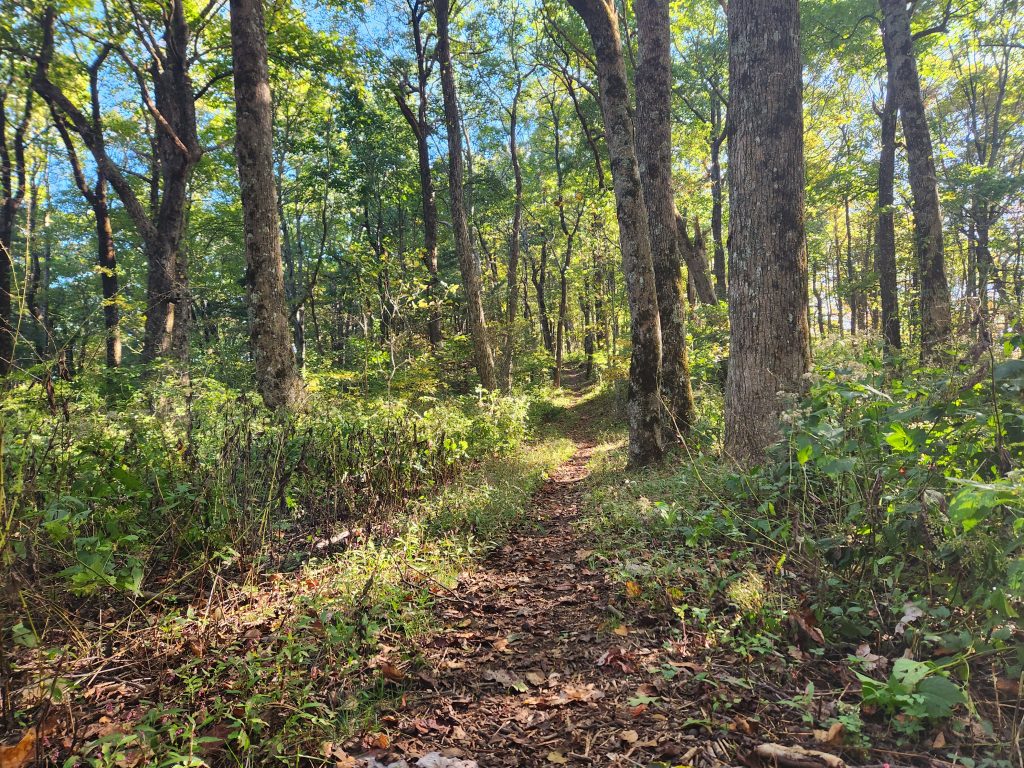
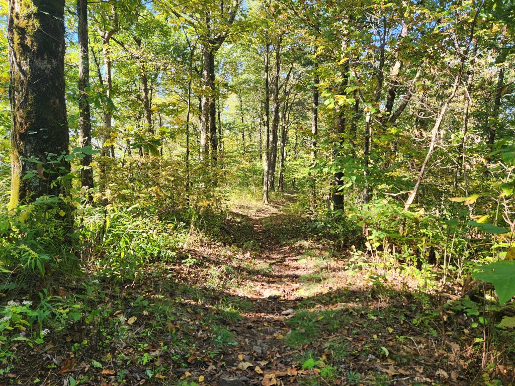
I was amped to finally get this section finished after my surgery & physical therapy! I was a little annoyed though since I had to lug a 1 liter bottle with me. My camelback got a leak. The first mile or so was like climbing a 50 story building but once you make it to the top, the elevations tend to even out. Here’s a few from Tray Gap to Tray Mountain Shelter.
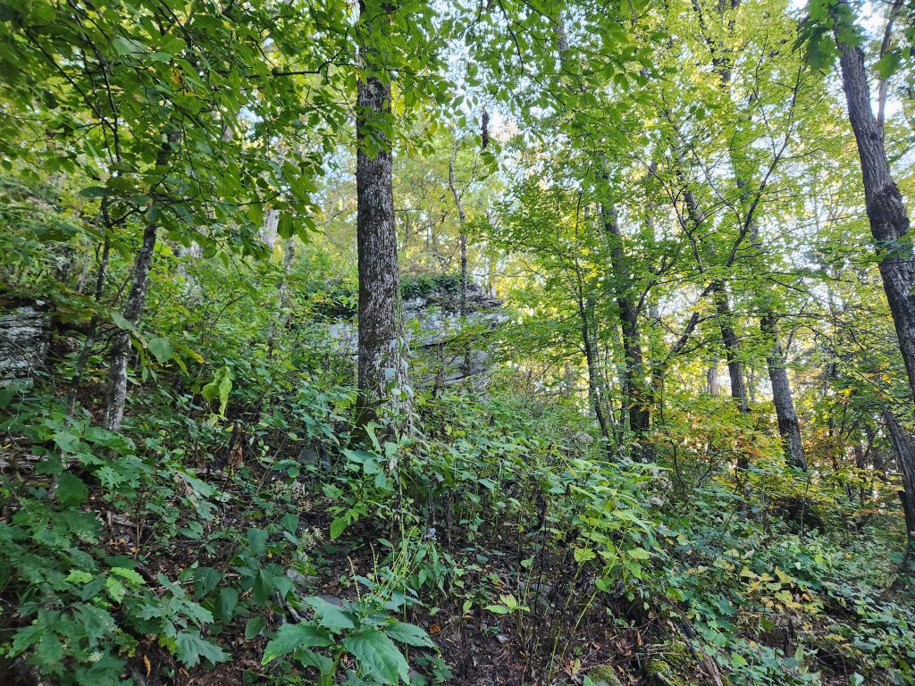
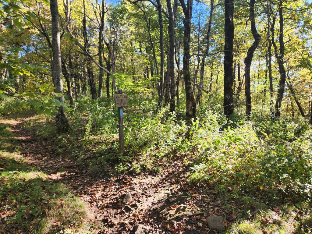
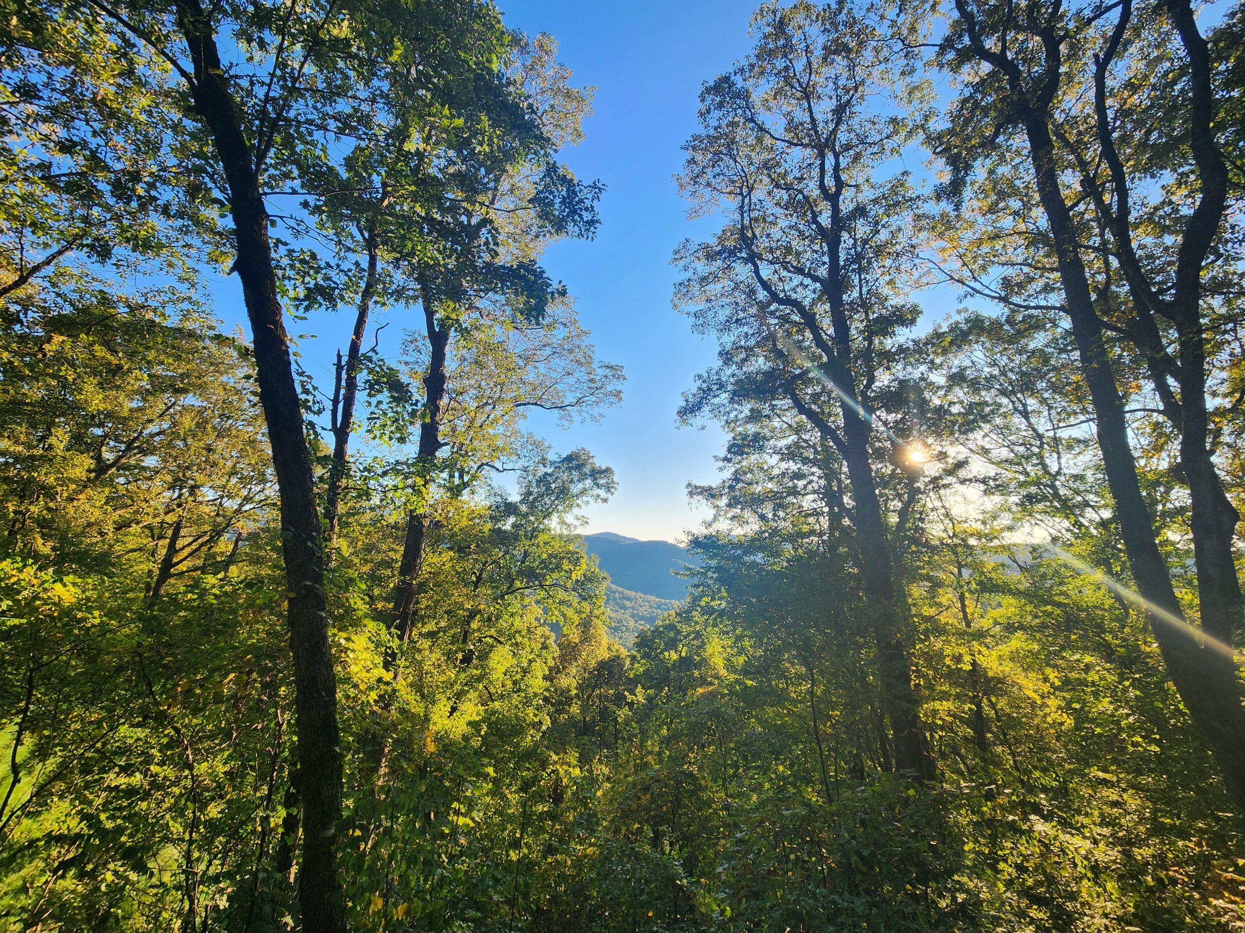
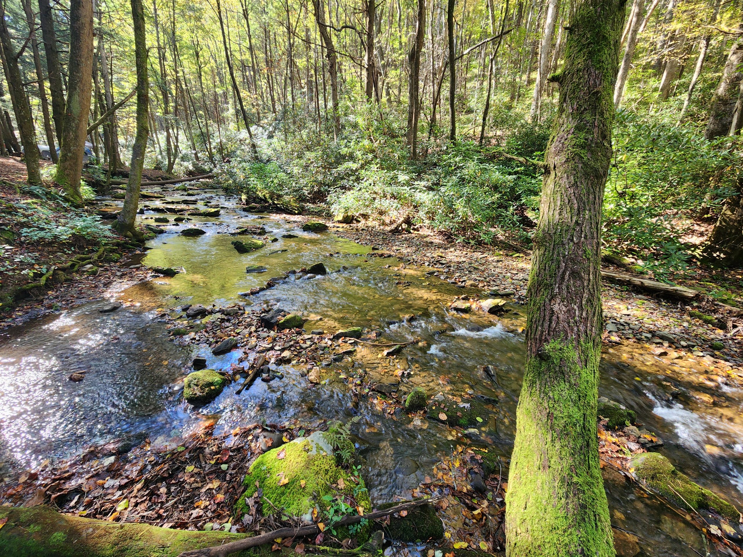
As I passed Tray Mountain Shelter (above me), I came upon the other side of the stream.
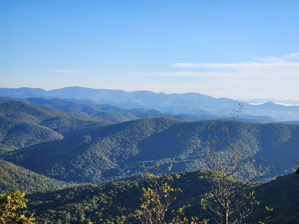
The ridgeline with the sun peaking through looked amazing!
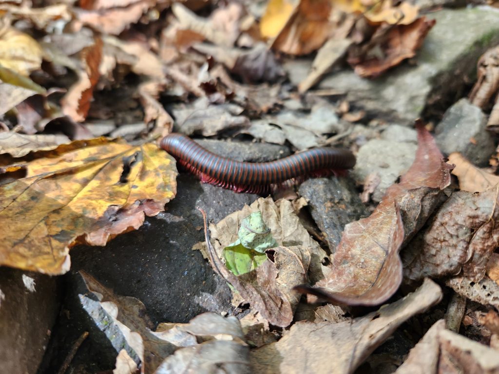
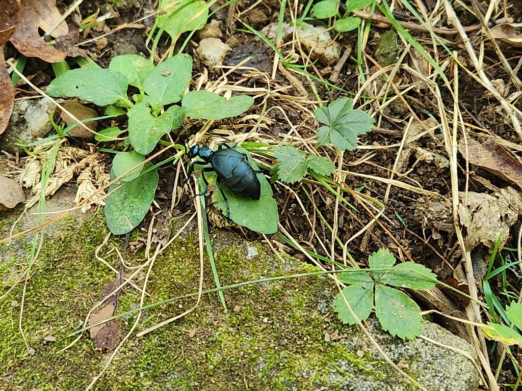
I also came across a few critters. One’s obviously a millipede, but I don’t know what that beetle is.
Warning, a long and somewhat gross story follows.
The ankle surgery held up insanely well. No pain in my ankle whatsoever, my legs on the other hand… jelly! Even though I was determined, I still couldn’t complete it. After about 4.5 miles and 500 or so feet of elevation, I started feeling nauseous and hurled straight up water. I chalked it up to the meds I’m on, but then it happened 2 more times. My brain started thinking about all the nature documentaries I’ve seen, and I recalled someone saying that that process makes you MORE dehydrated. Not sure how true it is, but I started feeling really dizzy and a head cold like fever. I was standing on a trail where 75% of it is a straight drop to one side of me, I paused, took my pack off and pulled out my GPS to see I had 6 miles left, but only 4.5 back to camp. Obviously I opted for the latter.
Once I returned, I decided not to camp on the mountain for a second night and I’m kind of irritated at myself, Tray Gap is a perfect spot for time-lapse videos AND there were no clouds! I’ll tack this spot onto another trip. The guys at my first spot told me about Helen, GA. I passed that quaint little town on the way up so I checked online before I left Tray Gap and holy crap, Hey, Helen GA… no ones spending $700 a night in a tiny town. Change your prices!
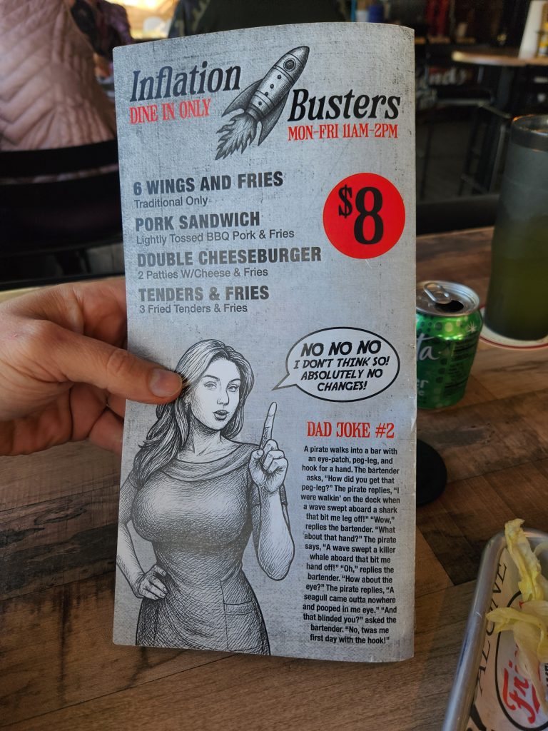
I headed over to Clayton GA, since I’m familiar with it from my first trip up here. I grabbed dinner at a place I’ve visited before, “Friends”. I was here last year and it was great. That day, not so much. Course it was likely because I was feeling a bit off.
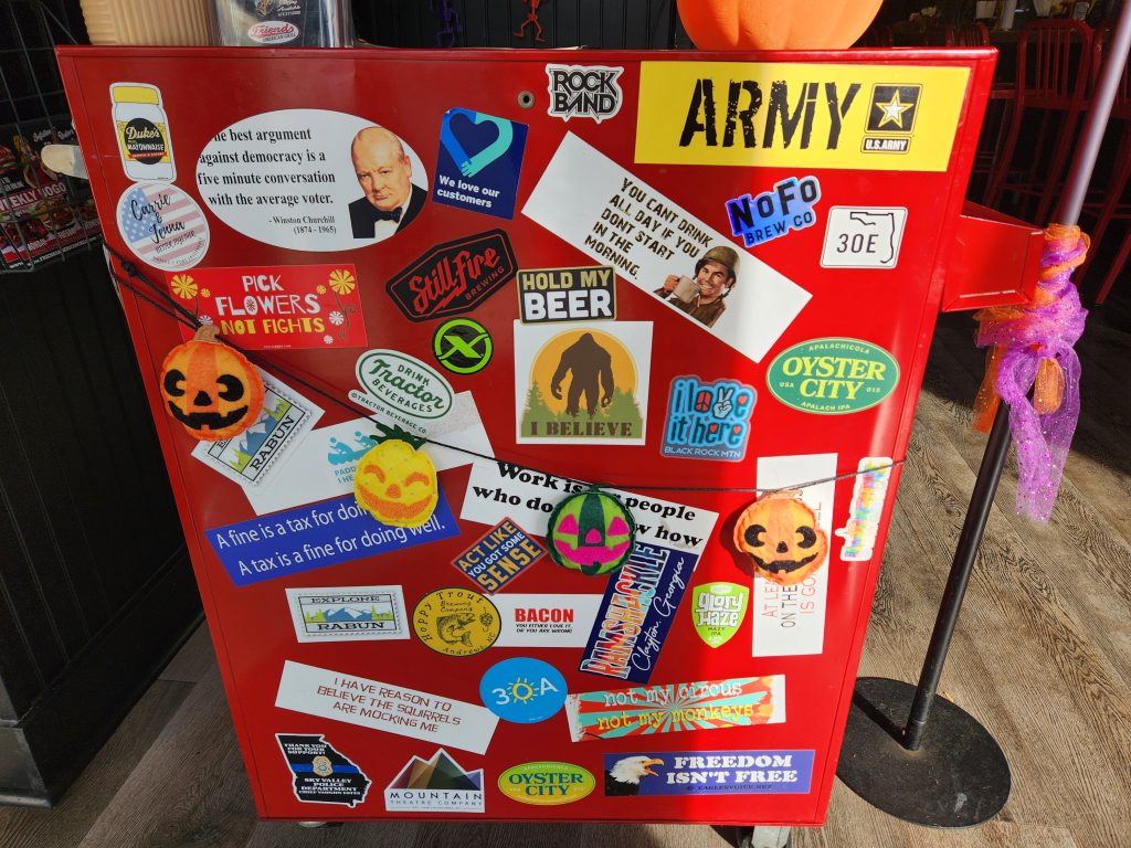
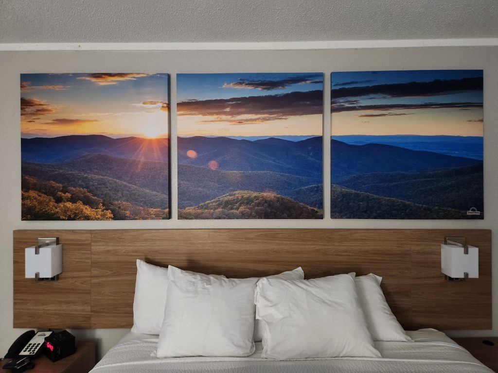
I didn’t notice these stickers last year but the Oyster City sticker caught my eye, since there’s only one place you used to be able to get it from… Oddly enough 30E is the same road as 30A (Googled). Never seen it written like that. This is the 2nd time this trip I’ve seen something from that area. Interesting “Friends” menu, guess ya gotta do what you can to grab attention when your surrounded by beautiful mountains. I just thought that was a pretty cool picture in my hotel room.
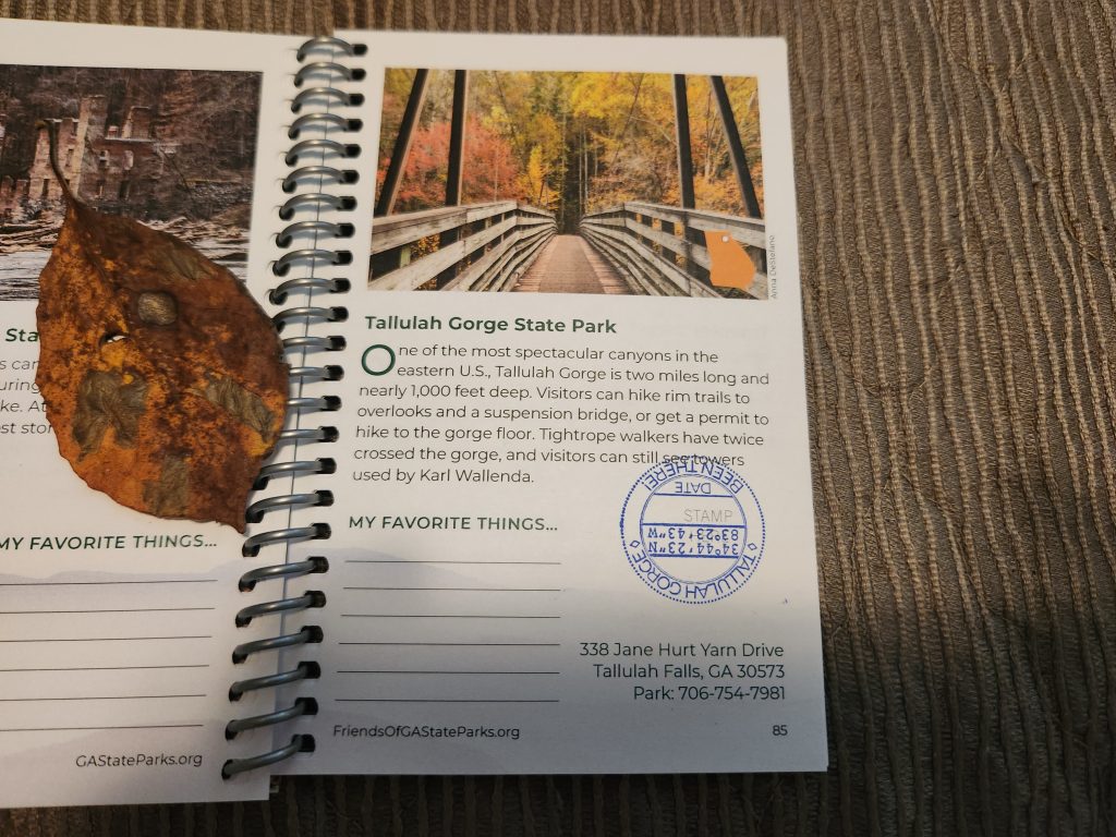
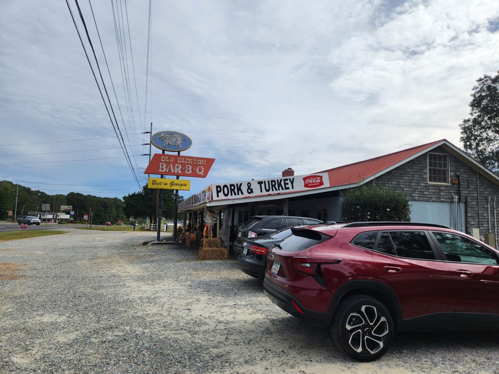
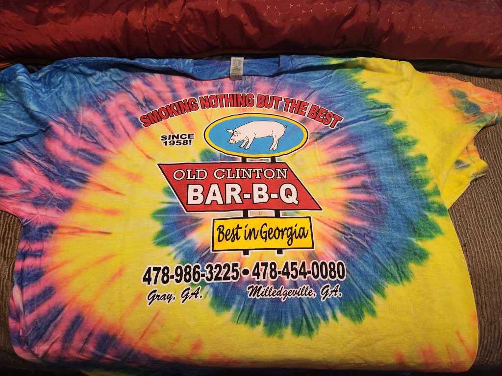
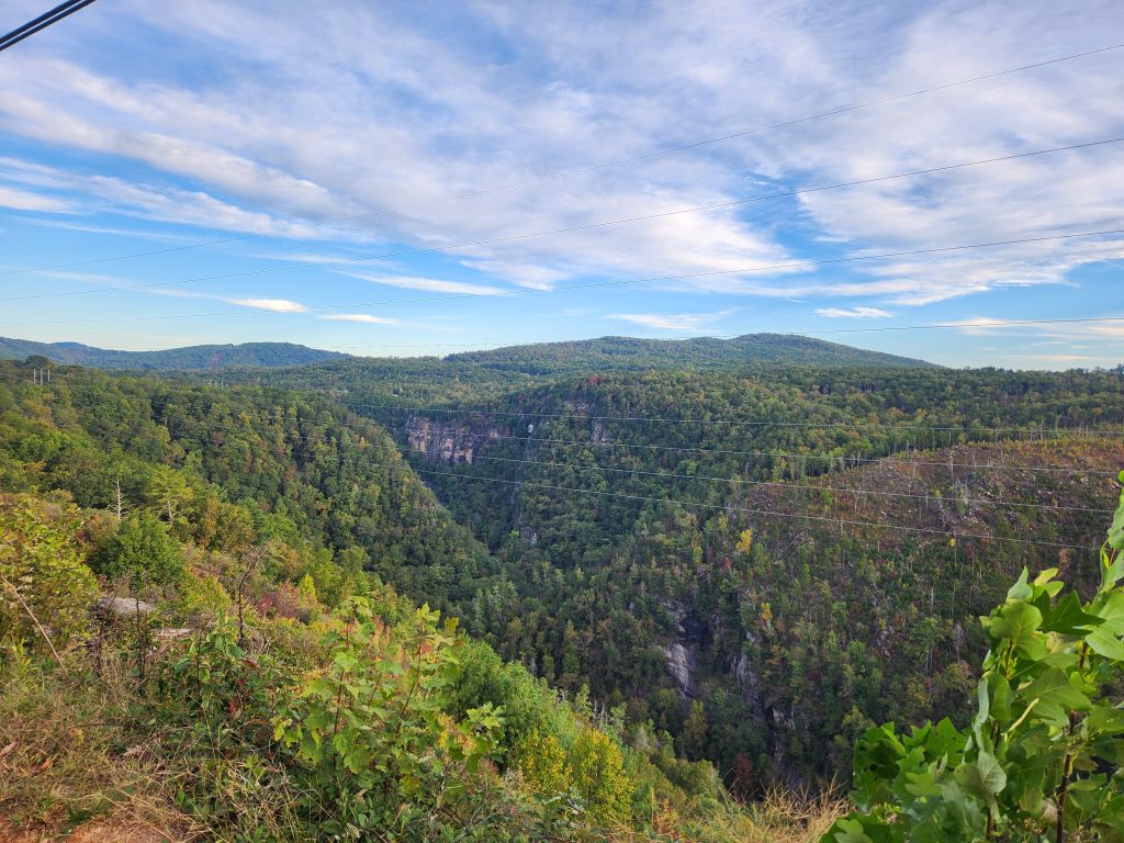
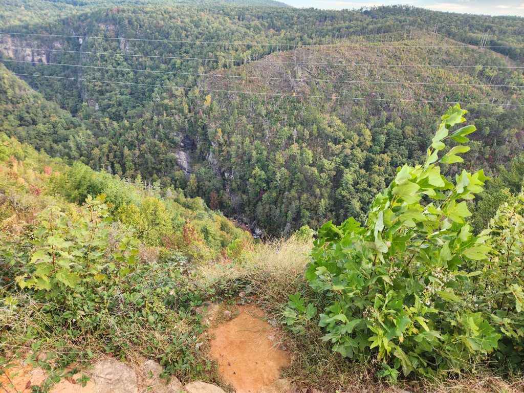
2 objectives today, get my Tallulah Falls stamp in my GA Passport and FINALLY try Old Clinton’s BBQ. They were featured on an old Dirty Jobs tv show and just had to visit. Damned good BBQ! I even got the T-Shirts to prove it! 🤣 Also, I grabbed a few images from a different vantage point of Tallulah Falls. And accidentally stamped my passport upside-down. 🙄 Tallulah will be another blog.
Since I hike solo, I’ll be planning these extreme (for a Floridian) hikes much more thoroughly. That could have gone horribly sideways.
Anyway, on to the next adventure!
Happy Camping!
See you on the trail!
~T.B. Pug