Welcome to The Bearded Pug. Click the blog menu item at the top of the page to view all my posts. They are currently in order of newest to oldest. If you’re looking for serenity, I have relaxation as well as time lapse videos in the top menu.
Happy Camping!
See you on the trail!
~T.B. Pug
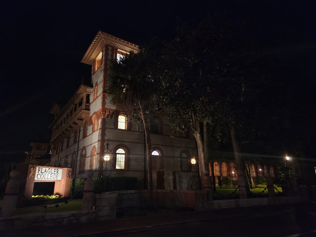
Saint Augustine, FL
Location: Saint Augustine – Historic district
Address: Saint Augustine, FL, 32084
Telephone: 904-825-1000
Lat/Long: 29.892491, -81.311815
Website: https://www.visitstaugustine.com/
Date: September 27th 2025
Media: *Located within and at the bottom of each post
Hardware used for media: Galaxy S22, Garmin GPSMAP 67i
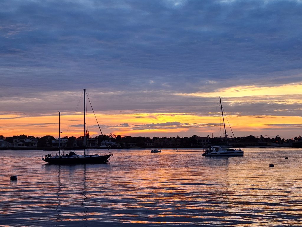
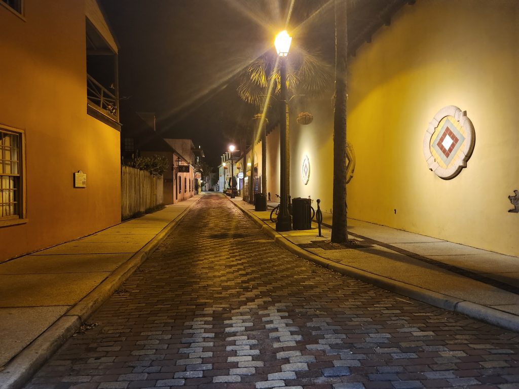
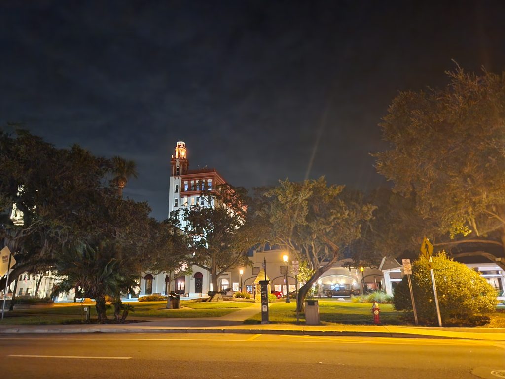
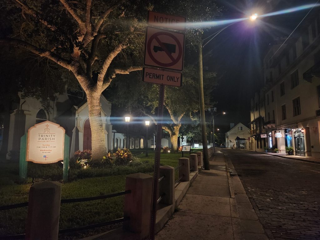
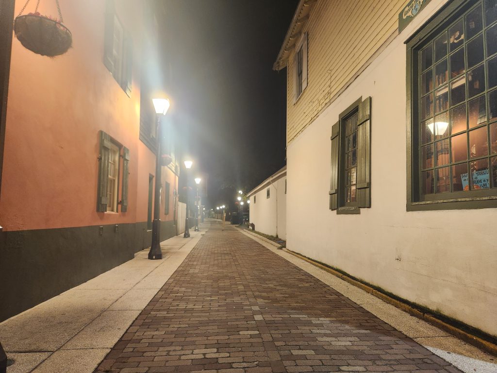
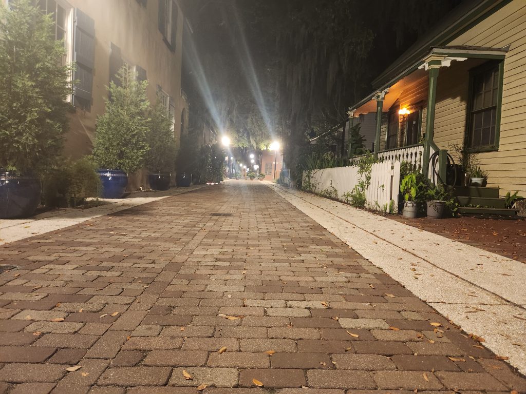
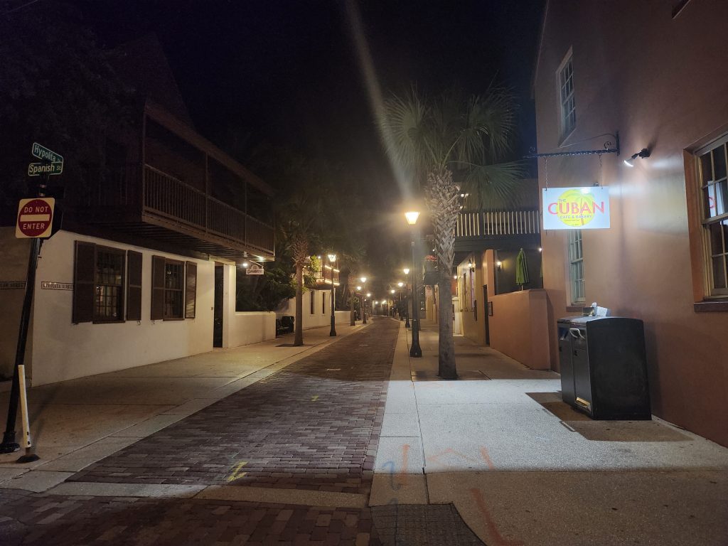
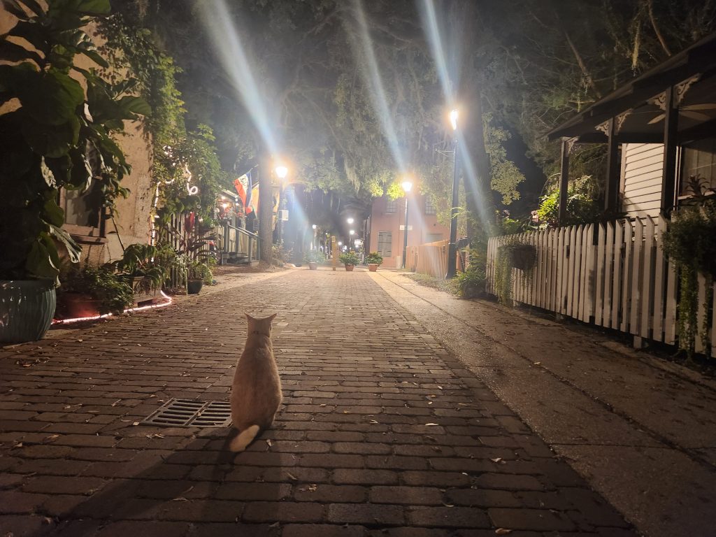
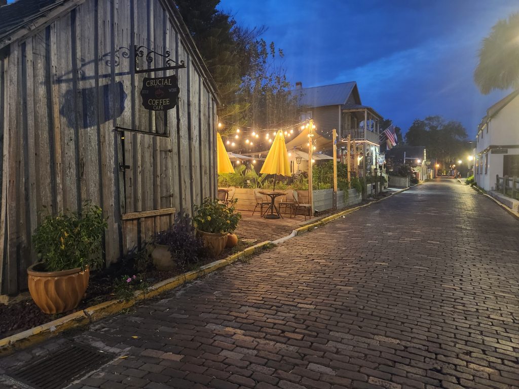
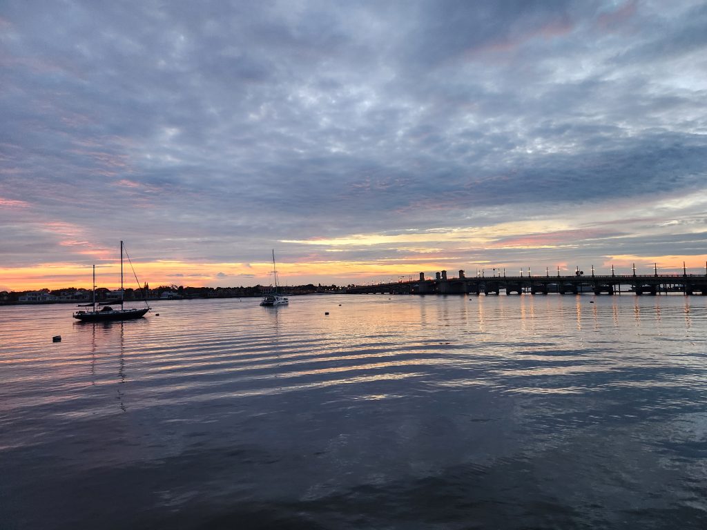
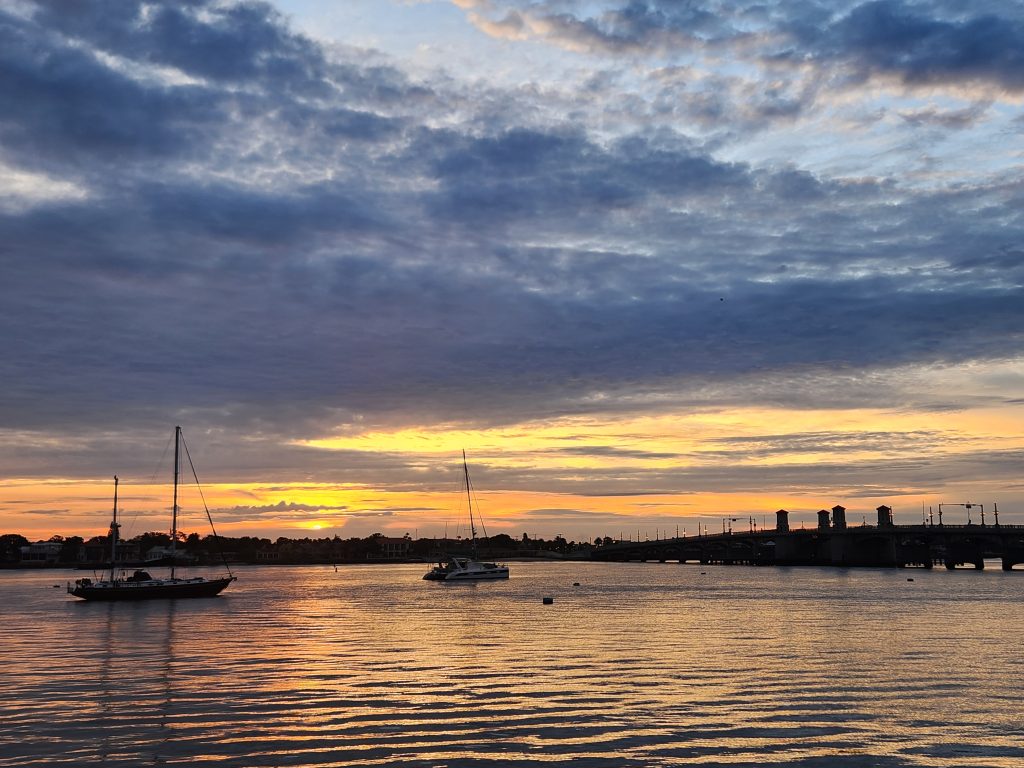
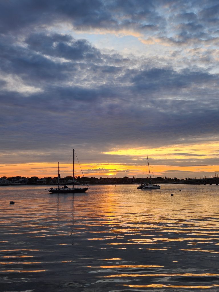
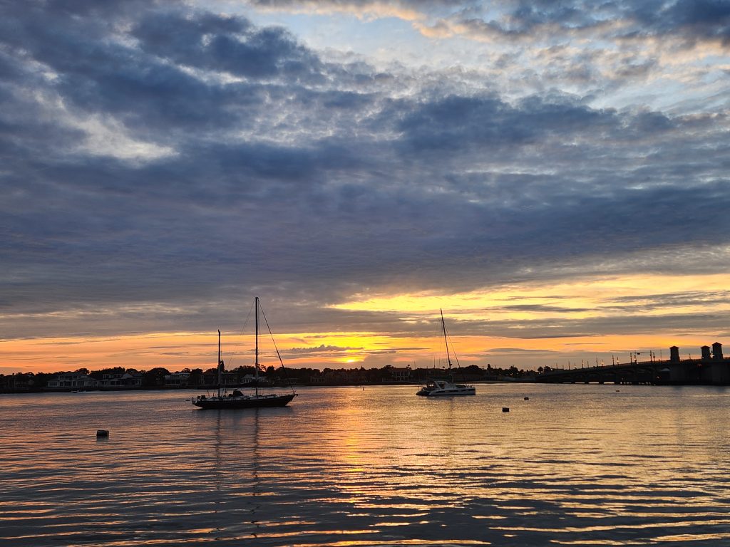
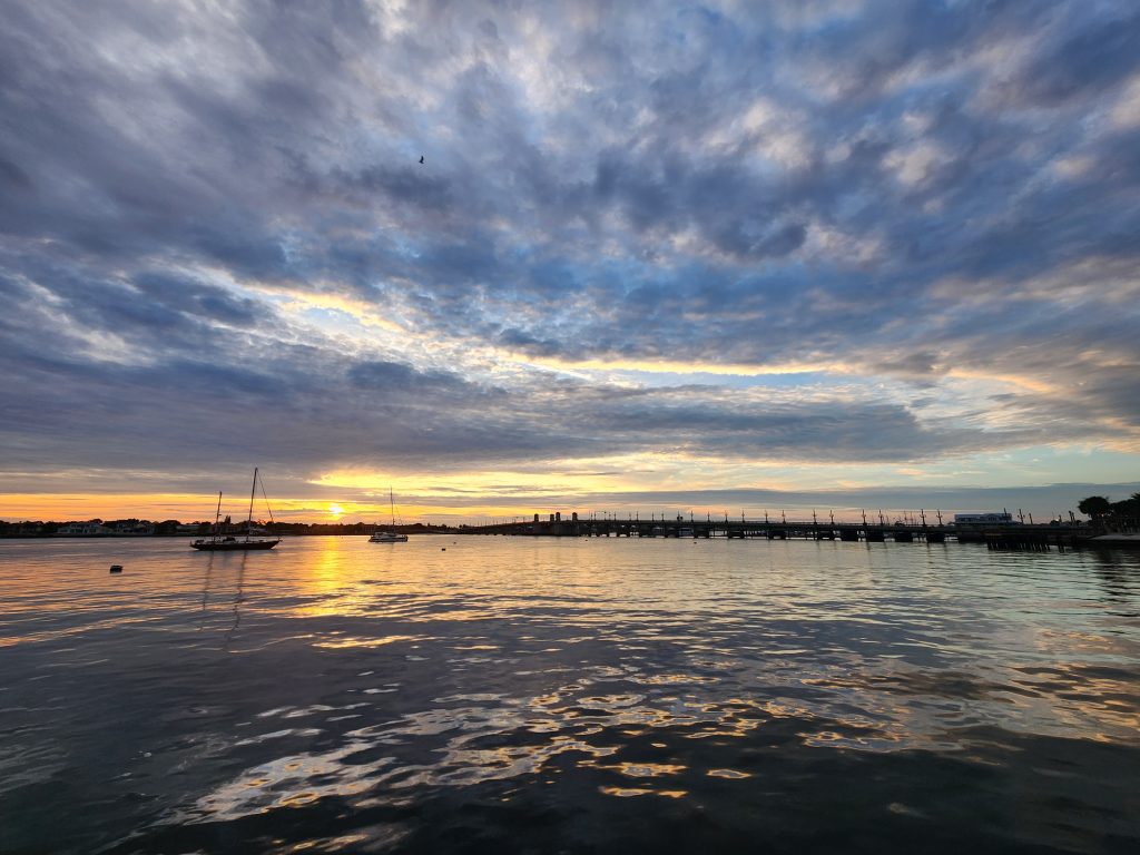
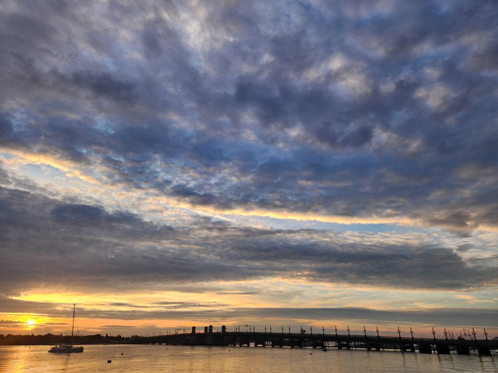
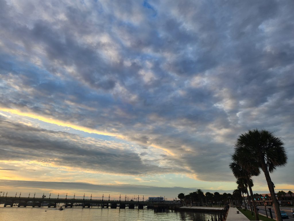
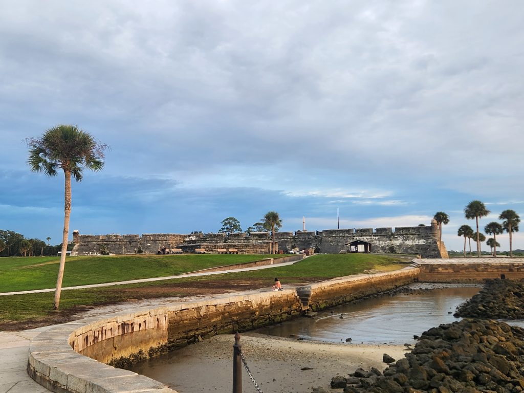
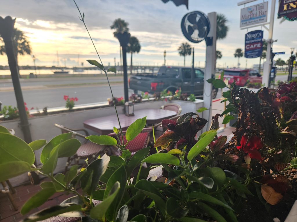
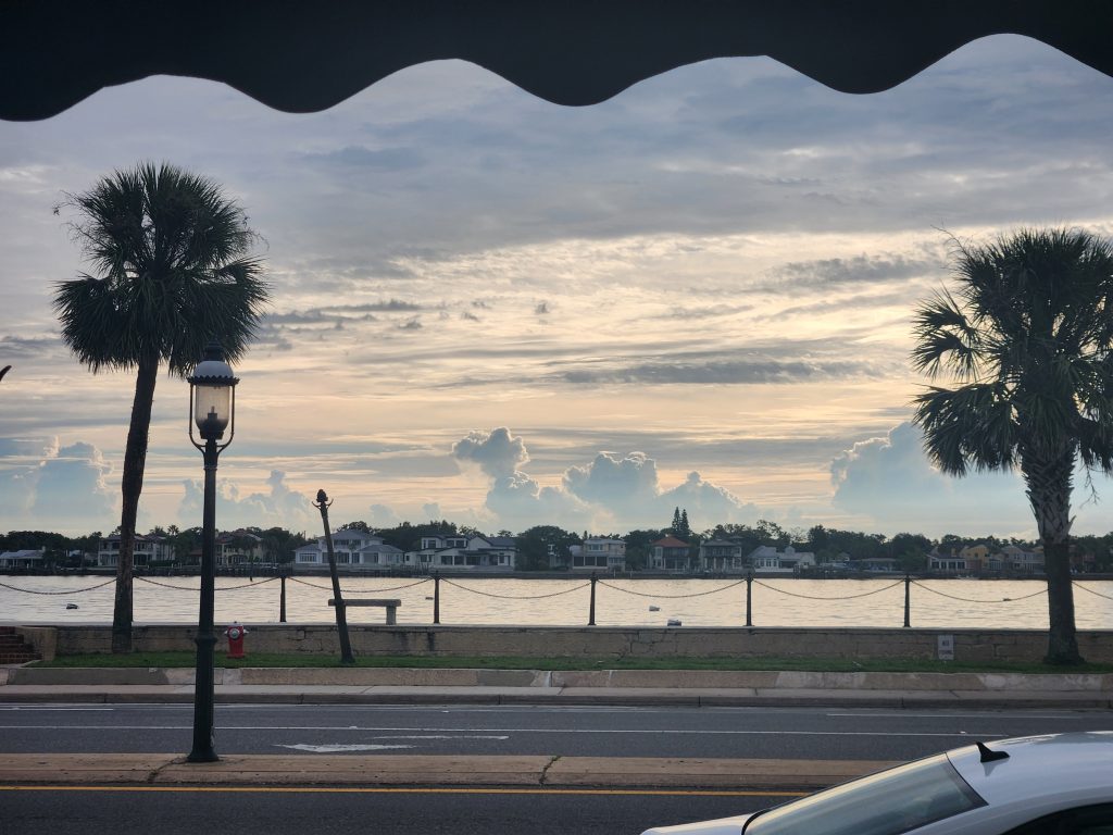
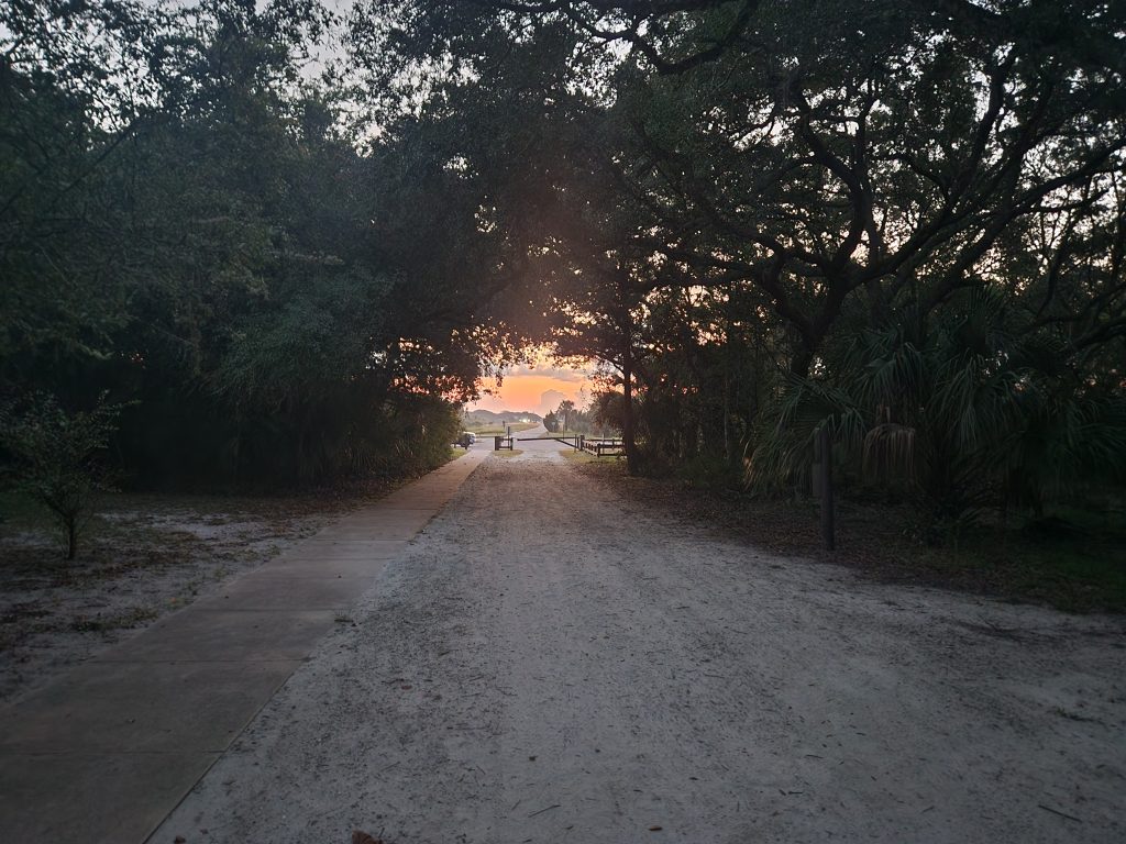
I decided (last minute, because that’s how I roll) to check out Saint Augustine at sunrise this morning, along with a nice quiet walk around historic downtown. I got down there around 6am, sunrise was at 7:27am. Strolling through the streets before sunrise was quite calming. And there were a couple of other people jogging & exercising as well.
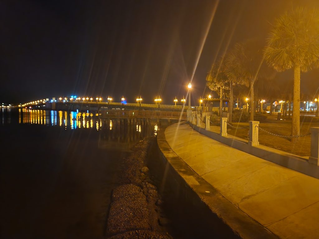

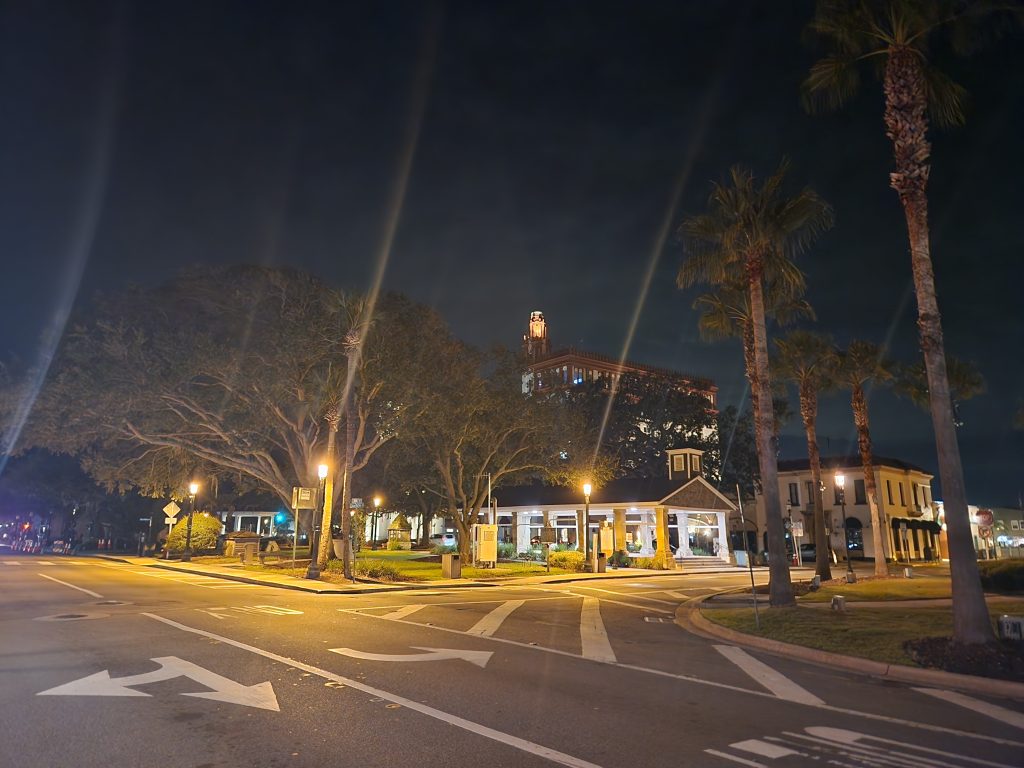
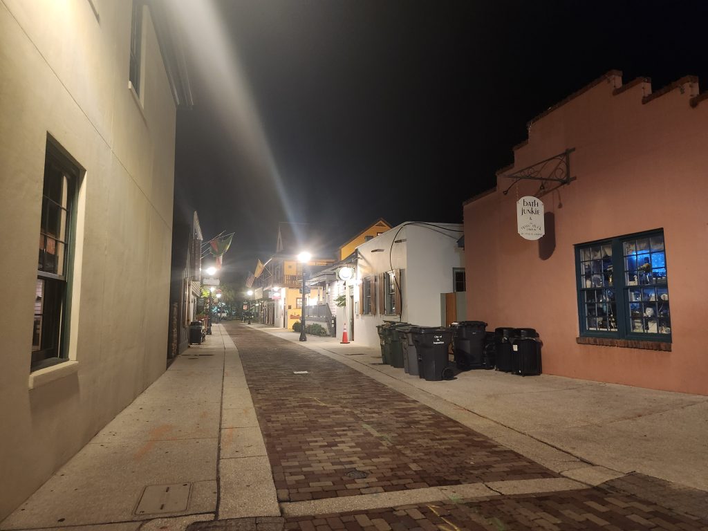
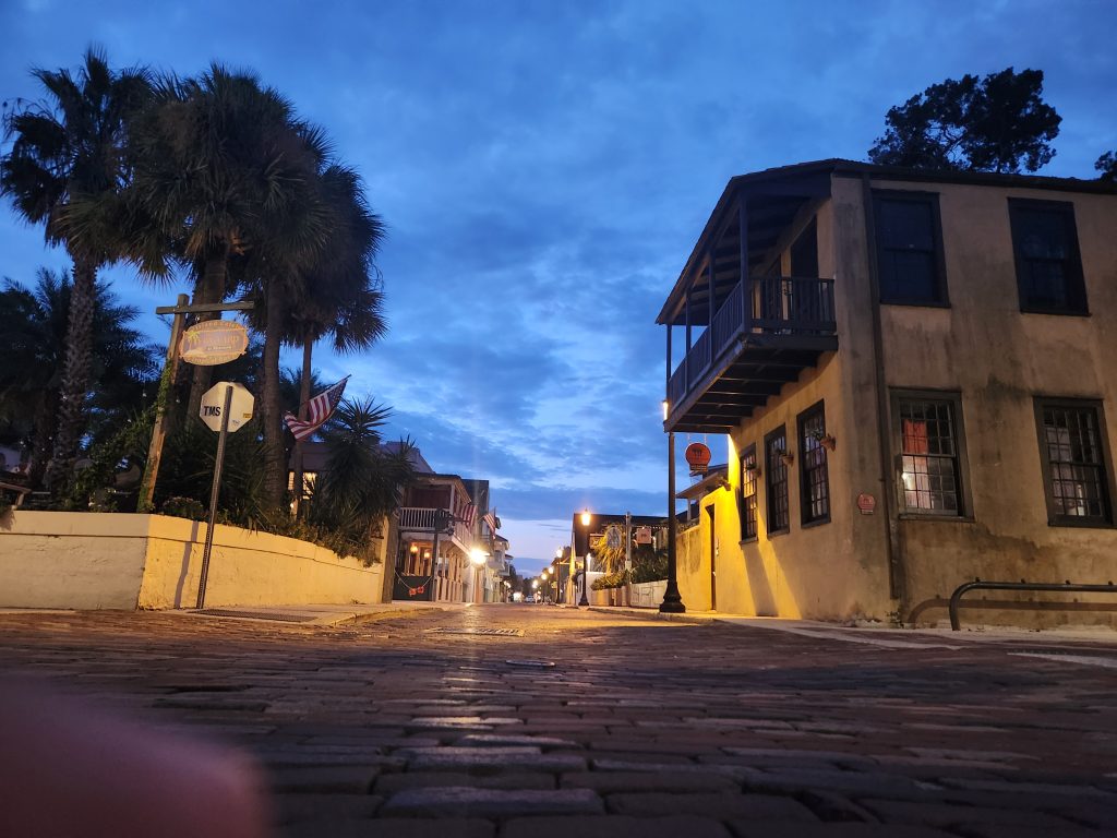
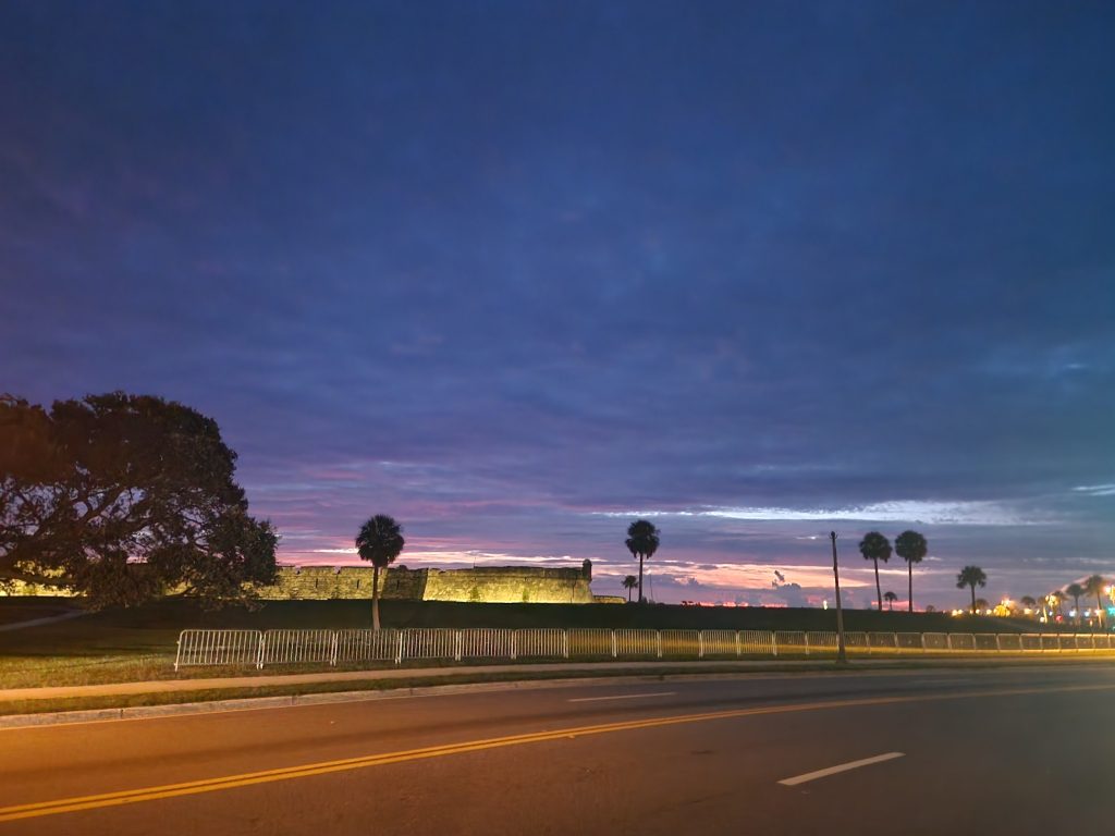
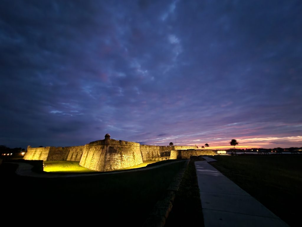
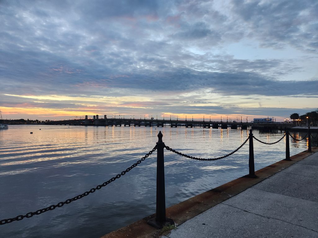
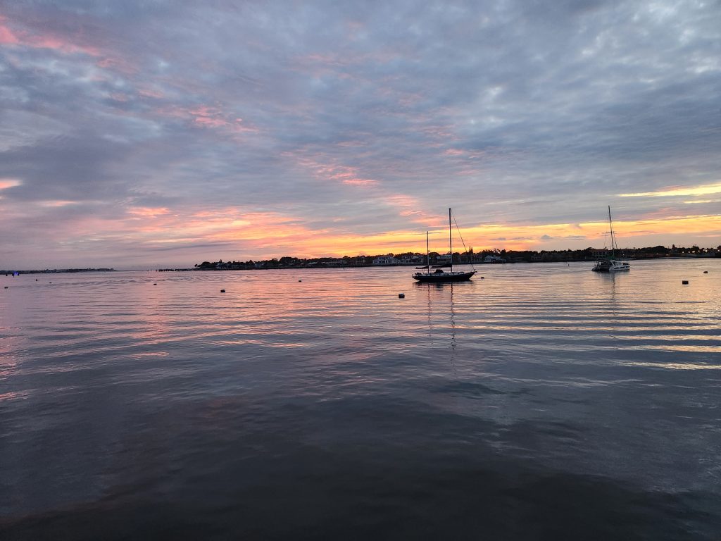
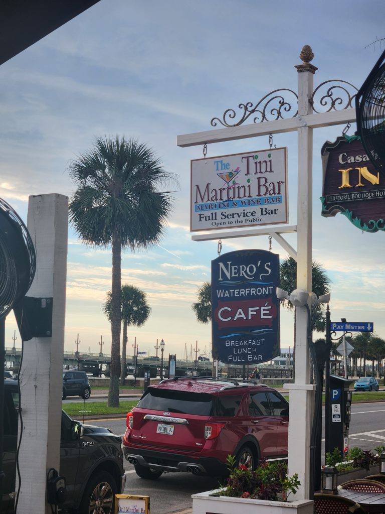
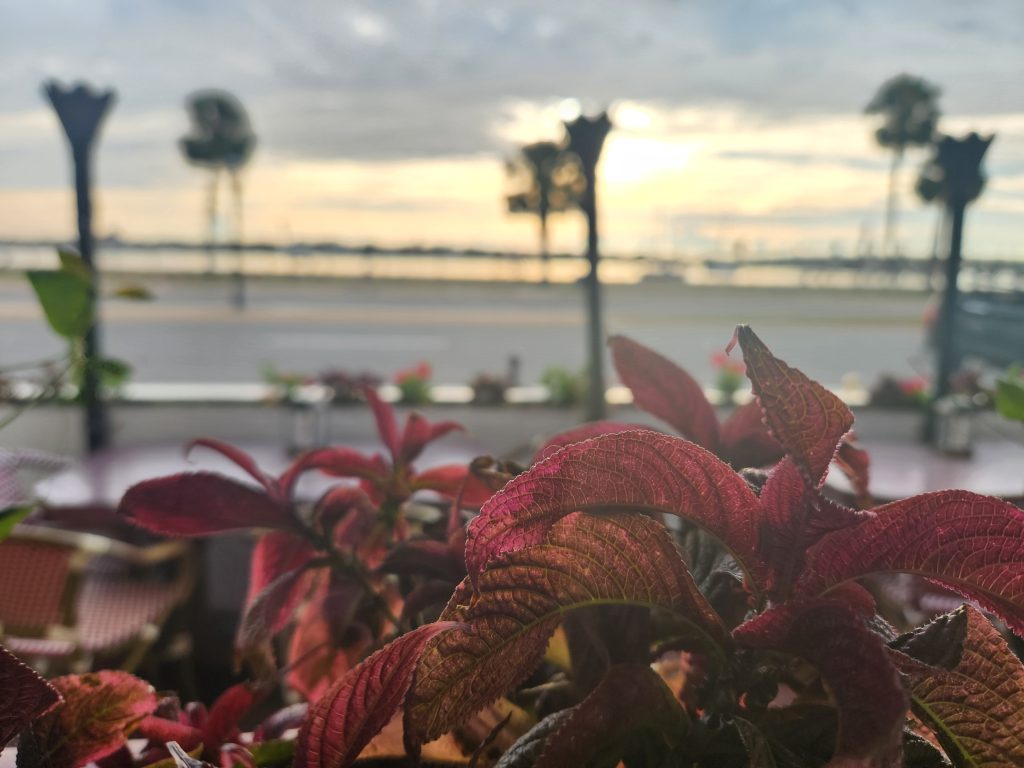
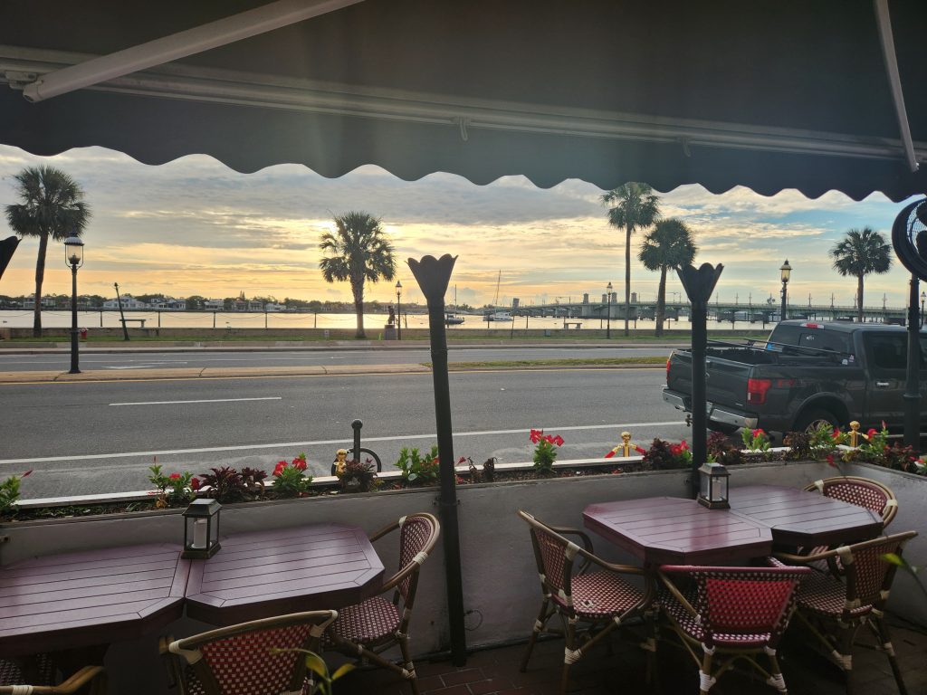
The sunrise over the bay was spectacular! I got back to my truck around 7:30 and since my goto breakfast joint in Saint Auggy, Nero’s Waterfront Cafe doesn’t open till 8am I decided to sit back on the sea wall and take some pictures.
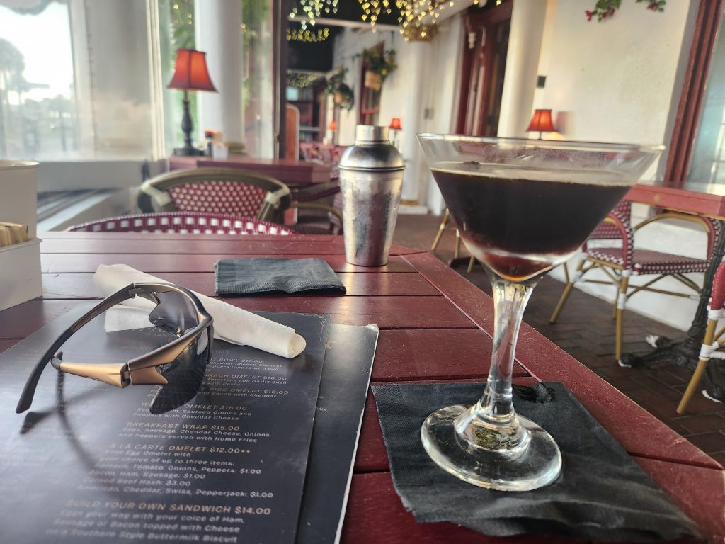
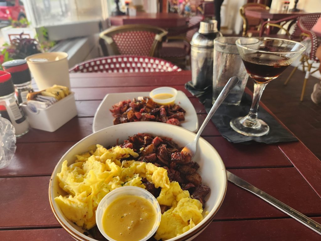
If you want, quite literally, THE BEST corned beef hash, in the entire world, then this is your place. It’s an odd spot because it’s 3 different things in one building, A café, a bed & breakfast and a Martini bar. Needed a little pick-me-up so I decided to try their Expresso Martini. WOW, great drink, but keep it to 1, it’s strong!
I always wonder (but never honestly care) what people think about some single dude, sitting at some restaurant, mindlessly staring over at whatever view is outside the window. When I travel, I tend to pick eateries close to beautiful view.
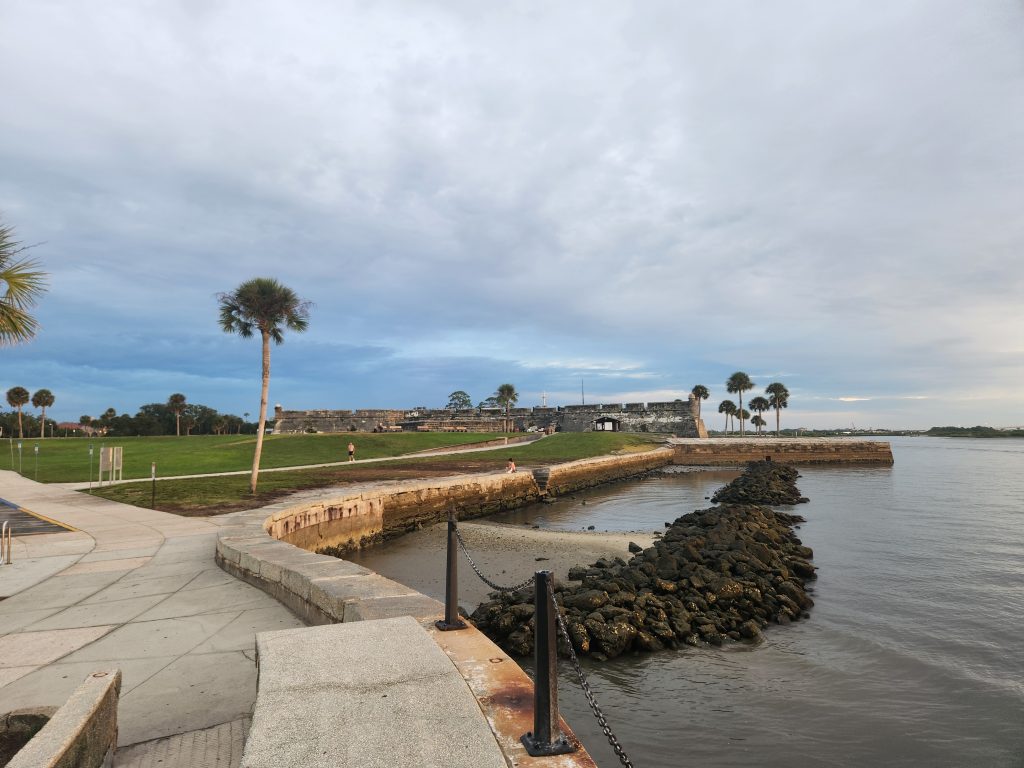
After I was done eating and taking in the view, I was debating heading to walk around the fort since I still had an hour and a half on the parking meter. But I decided to call my buddy to see if he was down for some fishing.
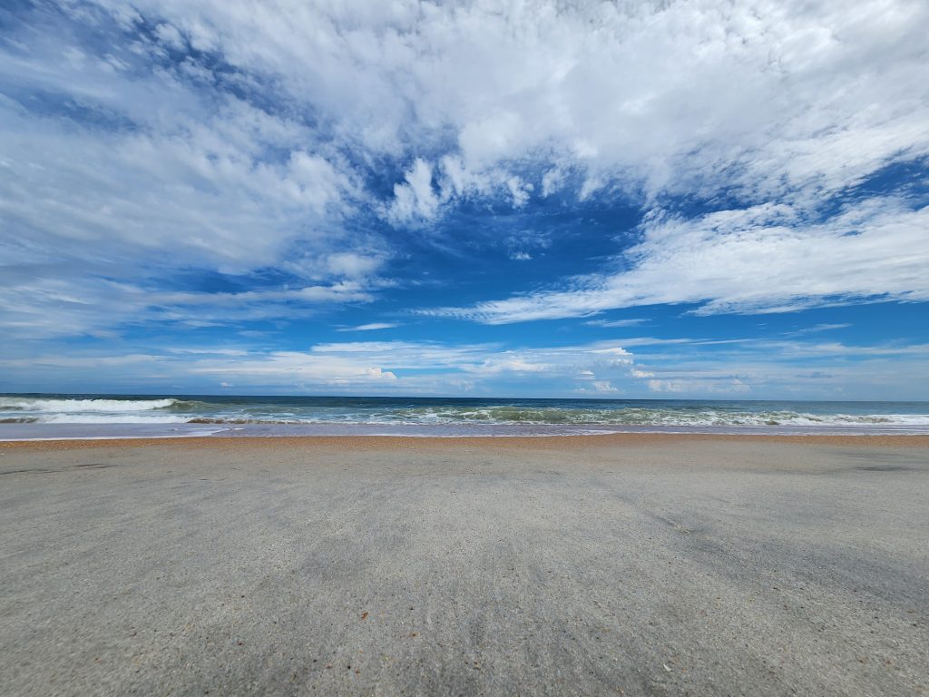
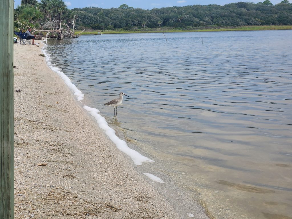
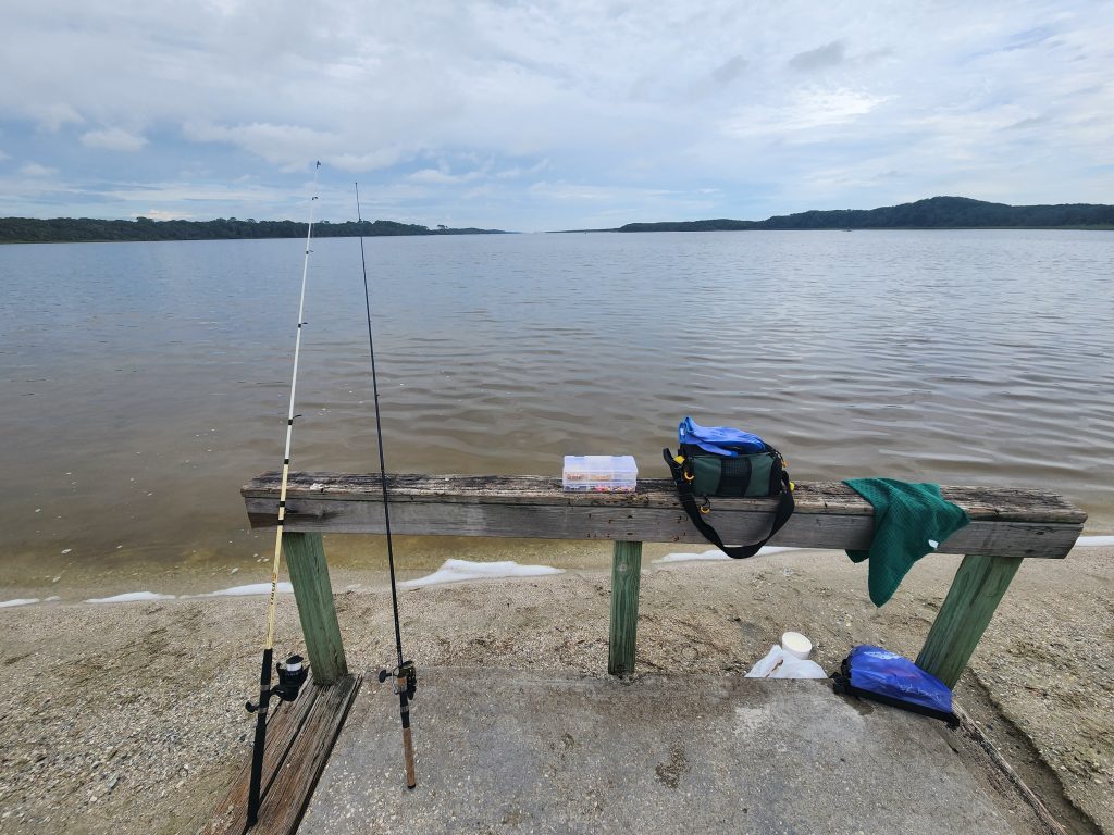
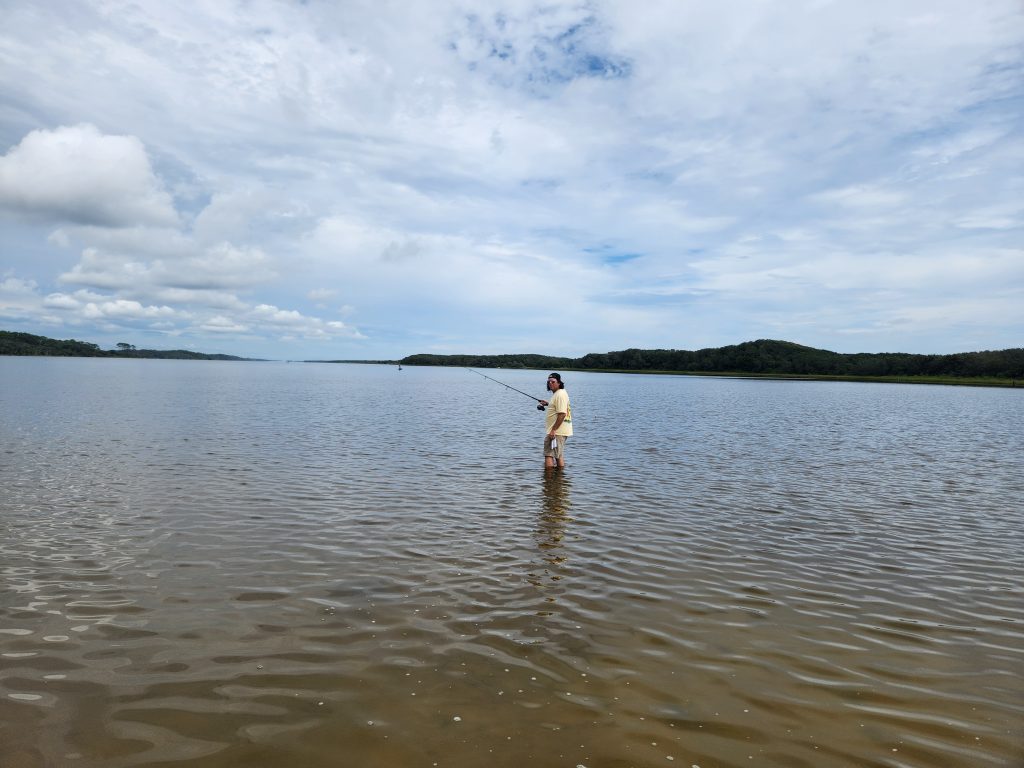
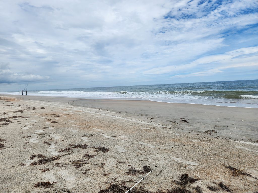
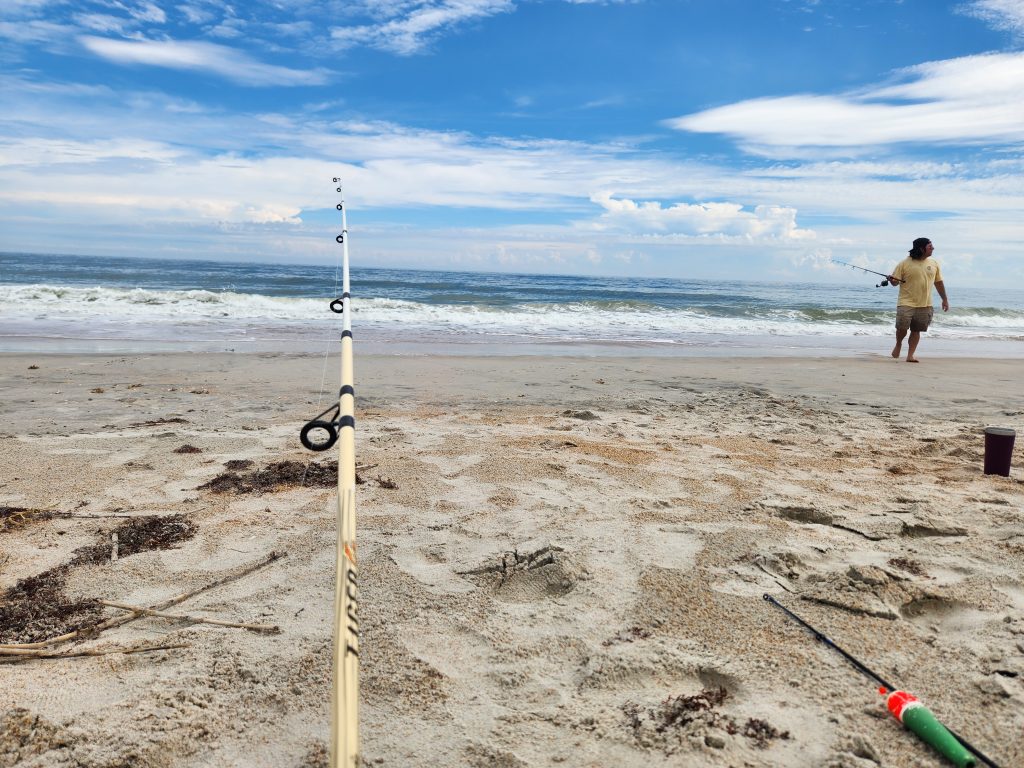
Met up with Joe-Cool at Guana (GTM). It was a great day, not too hot at all, but, after about an hour or two, we didn’t catch anything. Even the people to the right and left of us packed up and left because they weren’t catching anything either. So, we decided to jump across A1A and try our luck on the beach. Joe-Cool caught a whiting, but he popped off the hook before we could get a picture.
All-in-all, even though I didn’t get on a trail or in a kayak, it was a great adventure today! Even though nature soothes my mind, just getting away is also a major stress reliever.
Happy Camping!
See you on the trail!
~T.B. Pug
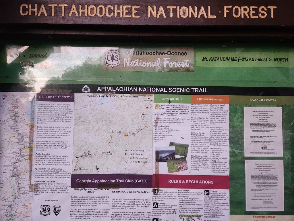
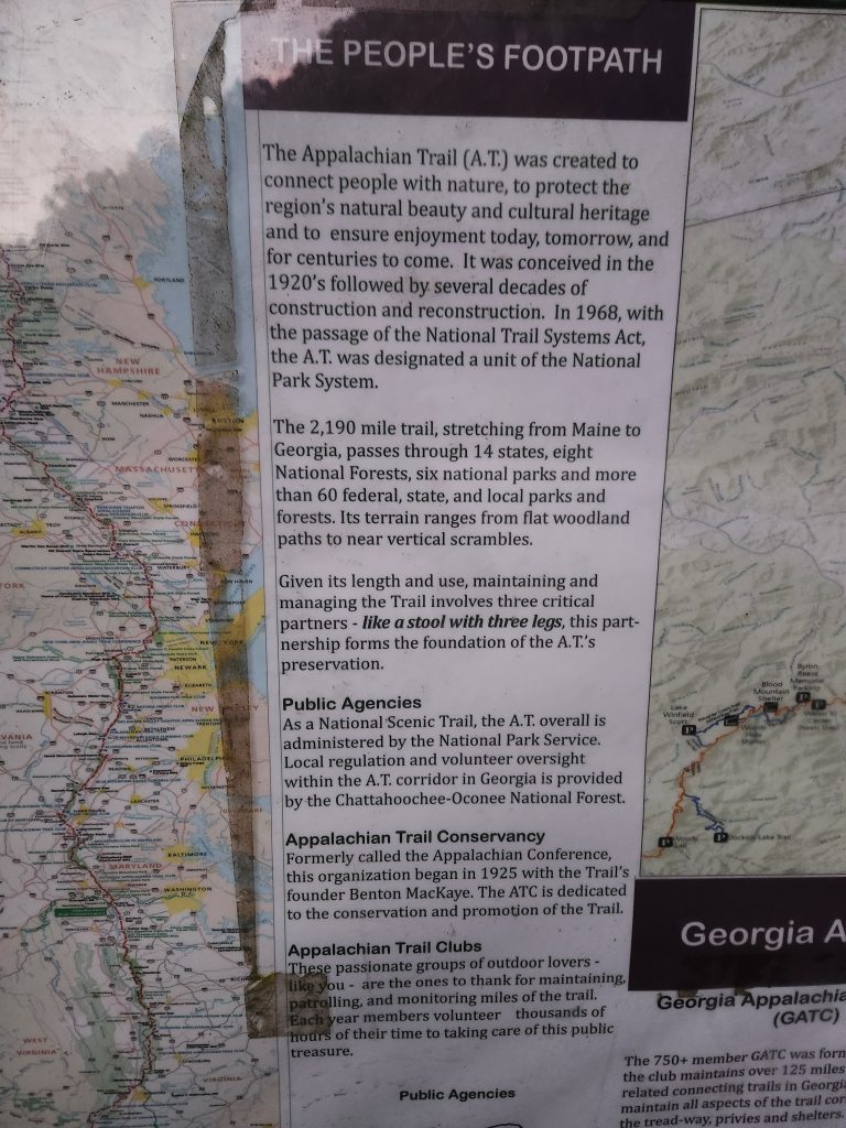
Appalachian Trail (Unicoi to Dicks Creek Gap)
Address: (Parking only) Hiawassee, GA 30546
Telephone: (888) 867-2757
Lat/Long: 34.801642, -83.742959
Website: https://appalachiantrail.org/
Date: September 6th 2024
Media: *Located within and at the bottom of each post
Hardware used for media: GoPro 10, Galaxy S21
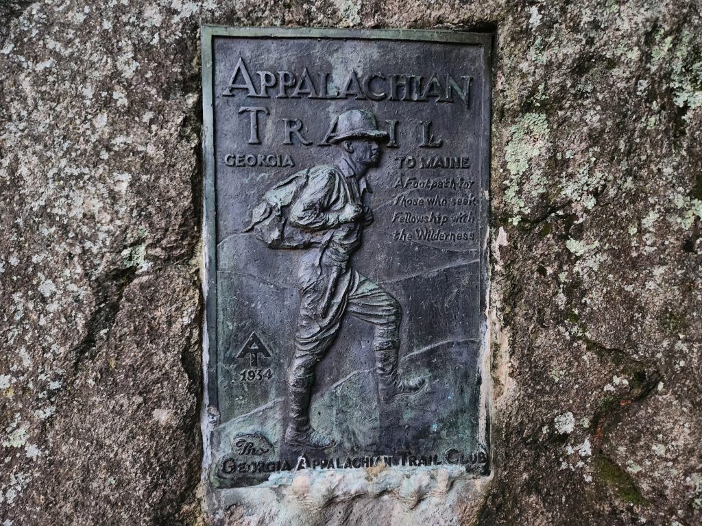
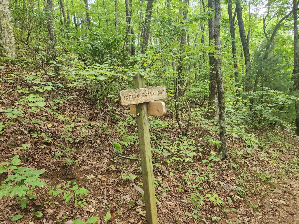
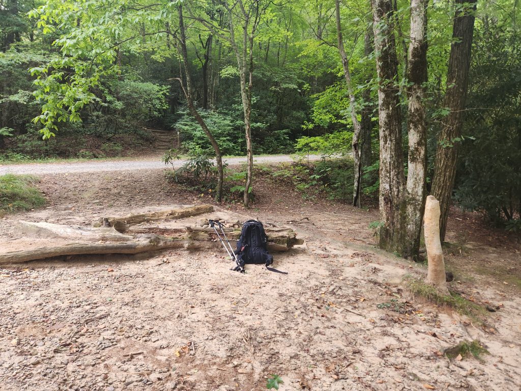
I had been planning for this trip for nearly a year, getting everything I needed to hike the wilderness for several days. I left around 3pm on September 5th and arrived at Dicks Creek Gap around midnight on September 6th. I will never again drive on mountain roads in the middle of the night, that was terrifying, and it didn’t help that there was a vehicle behind me trying to push me faster. It was pitch black, and once I was able to see how close the drop off was… Needless to say, the truck behind me was stuck doing the speed limit.
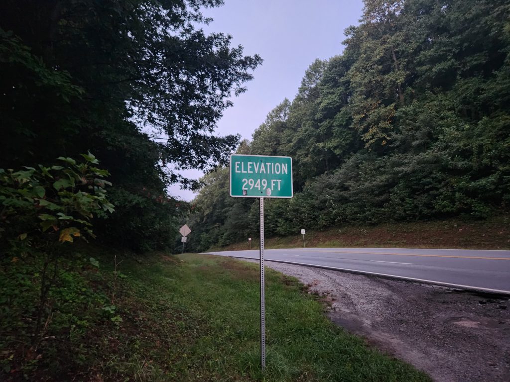
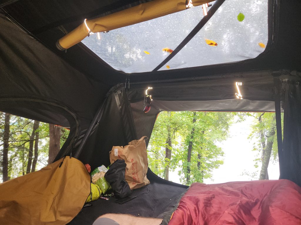
I spent the evening camping in the backseat of my truck (This was before my Roof Top Tent). The cars passing by every now and then kept me awake, plus I was excited to get on the trail. My trail guide, Bandit, came and picked me up (promptly I might add) and we rode over to Unicoi Gap where I was to start my first A.T. section. It was still dark so I waited around for about 20 or so minutes till the sun came up.
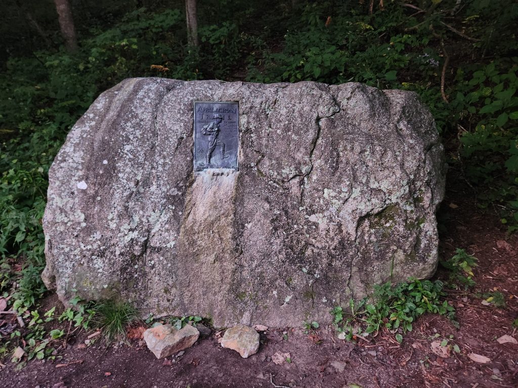
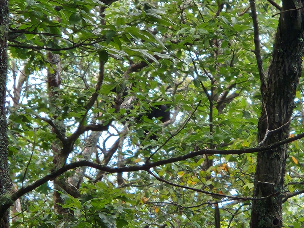
Literally 20 minutes into this section I started hearing some rustling in the woods. I stopped to look around and I see something off in the distance way up on a tree. IT WAS A BLACK BEAR! I tried to quickly grab my camera to get a few pics but only managed one. When maneuvering to grab a better picture my trek pole hit a rock and scared him away. So much so, he was down the tree and gone in seconds!
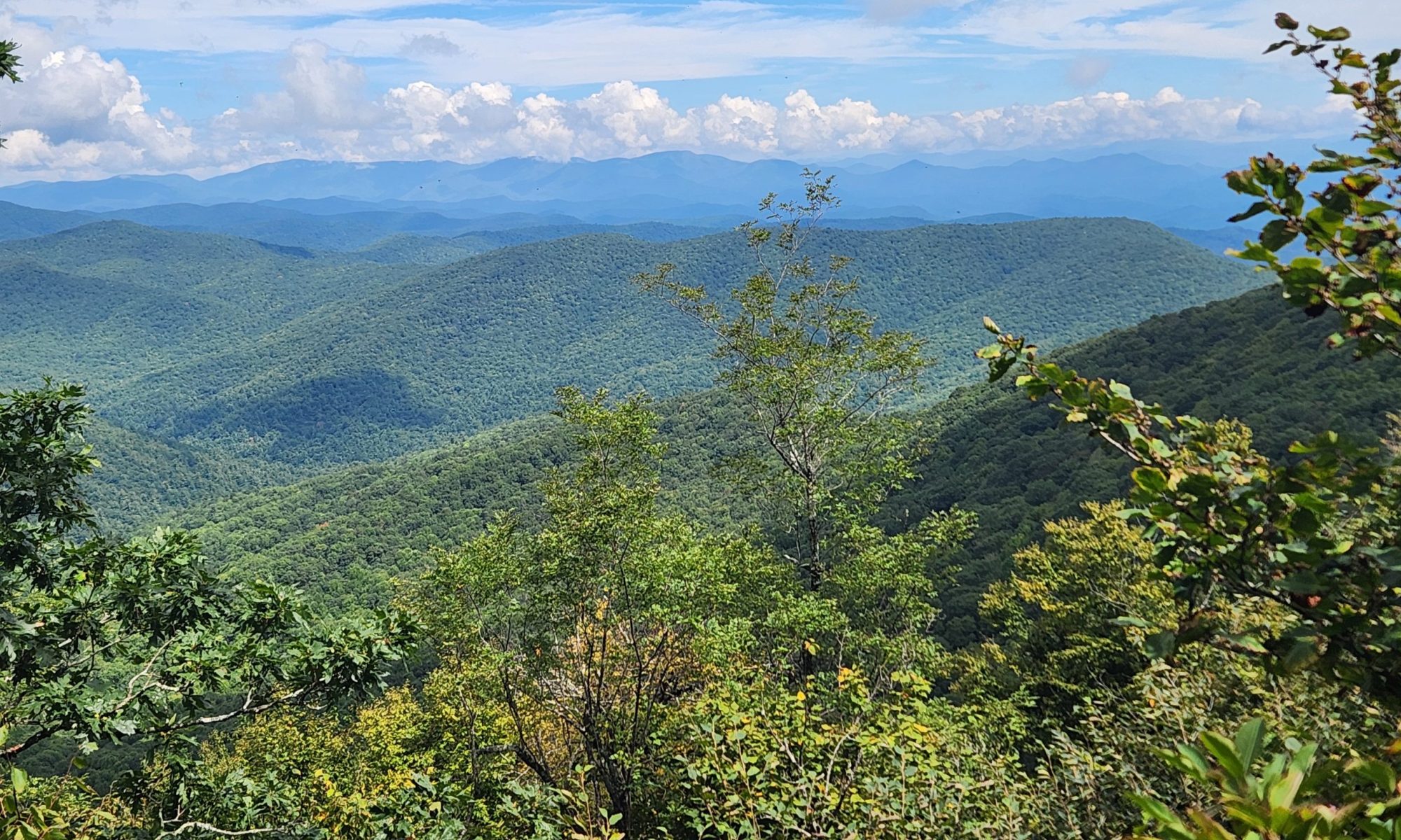
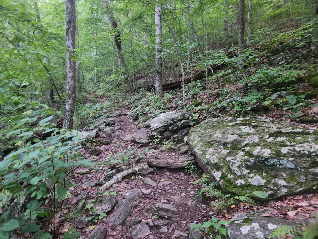
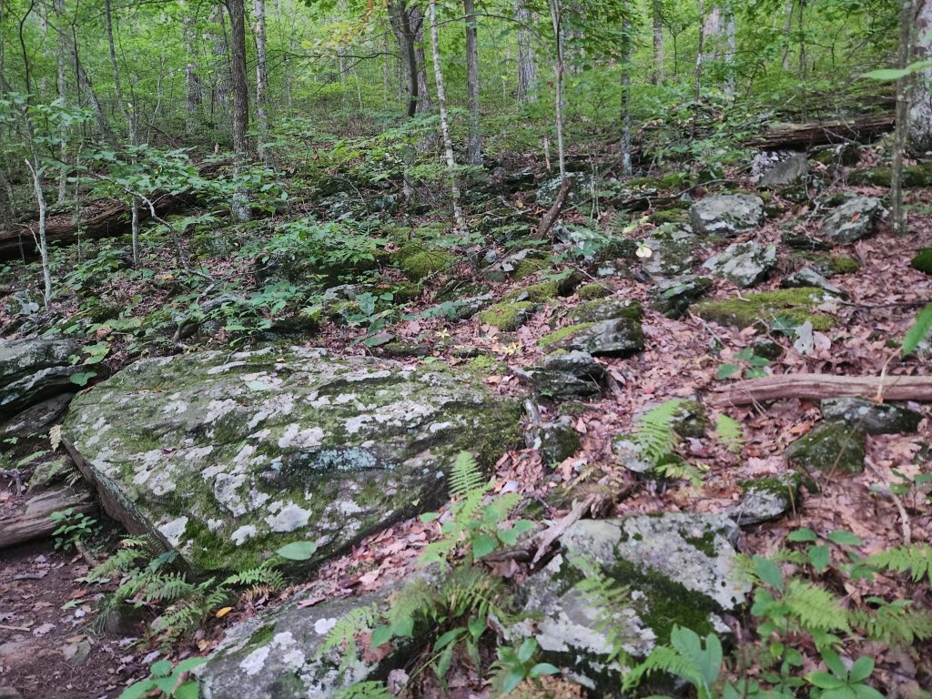
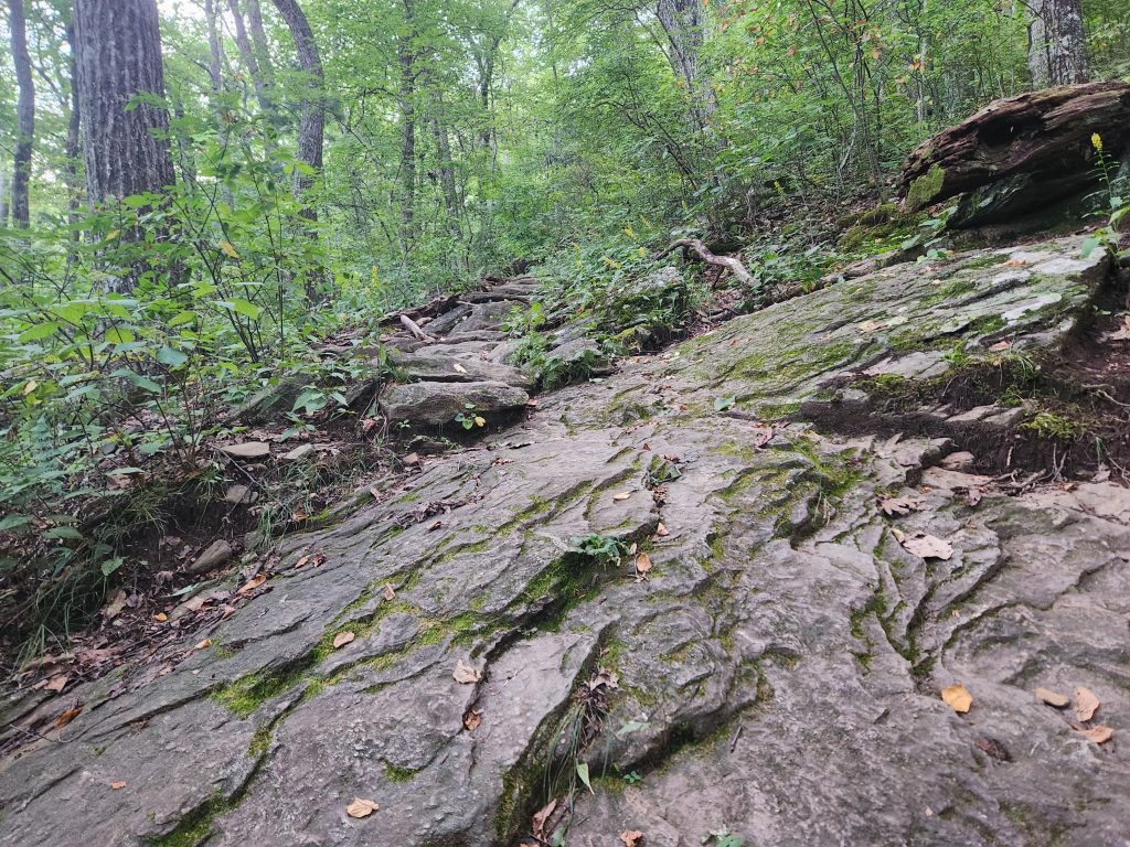
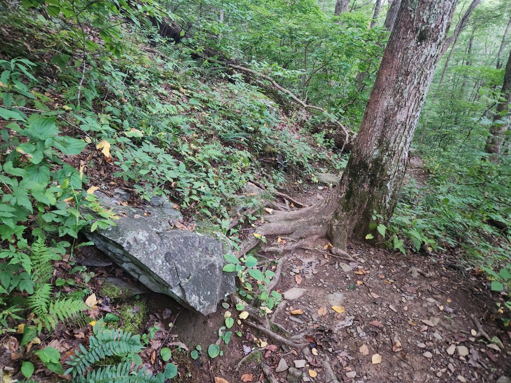
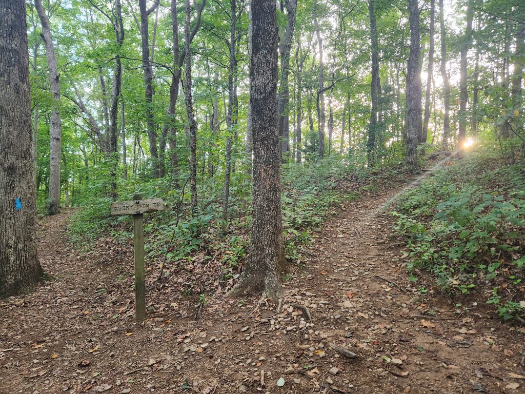
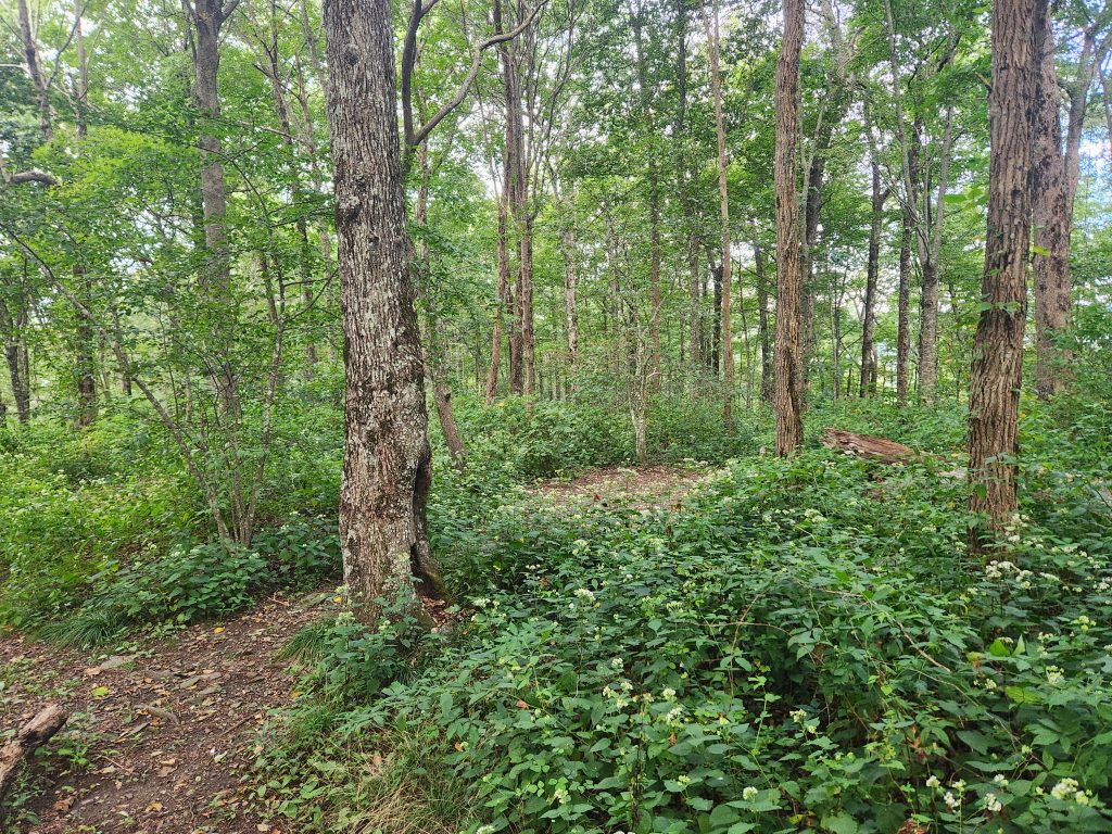
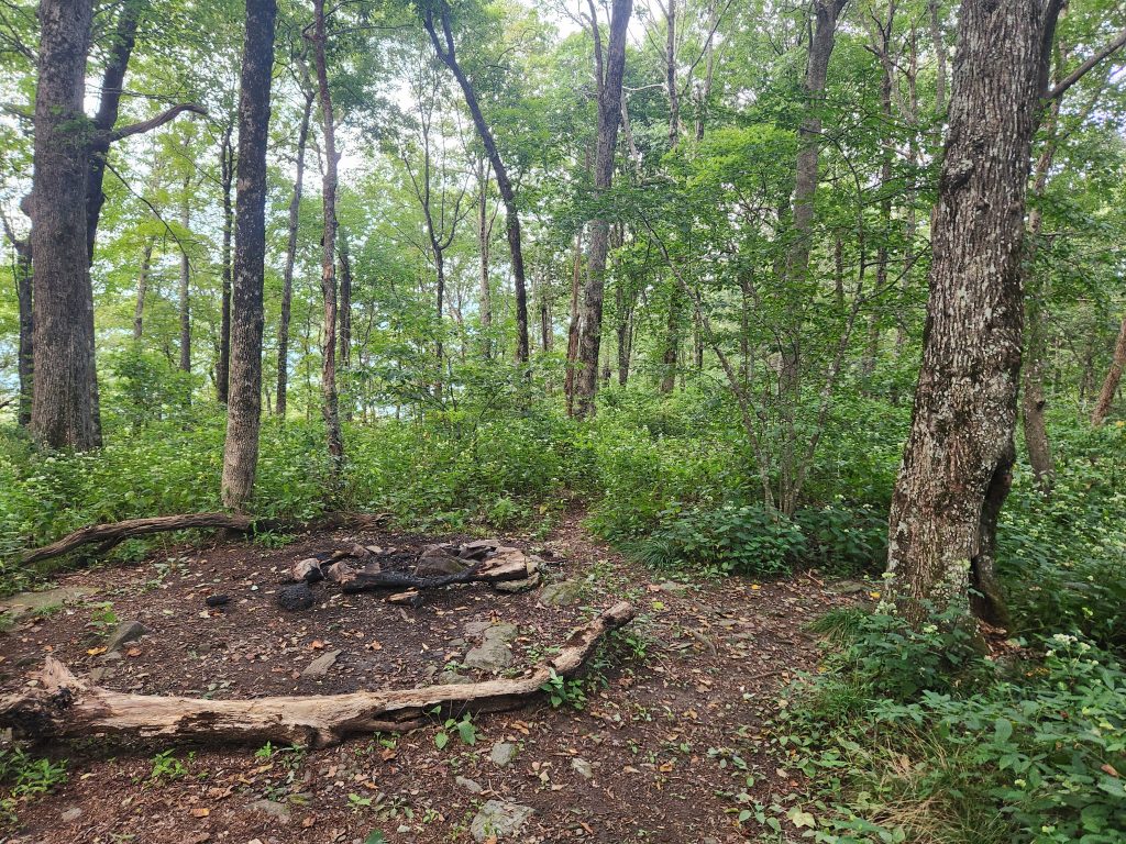
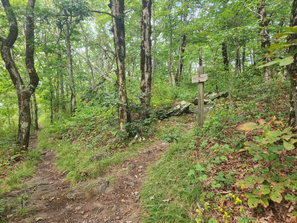
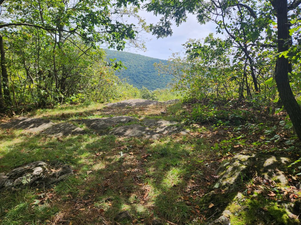
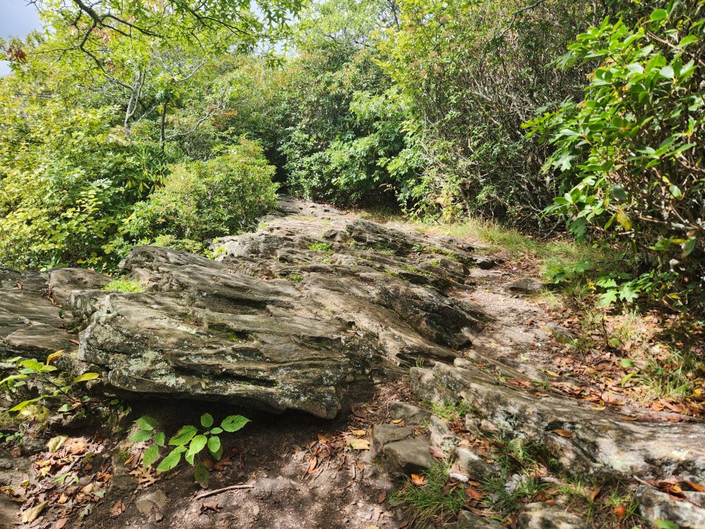
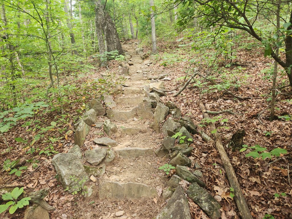
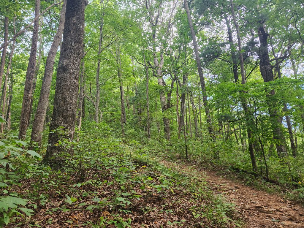
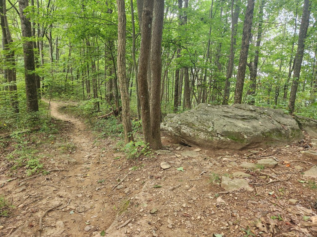
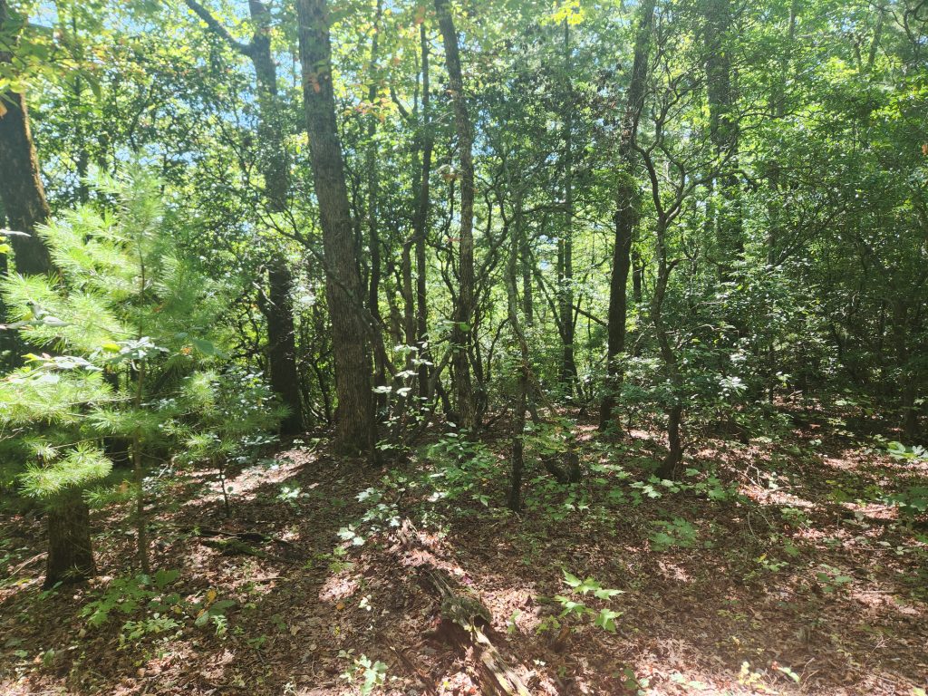
Even though I was training for about a year to start these sections, I was taken aback at how fast the elevation increased in such a short distance. The first 1-2 miles was a gradual assent, and this Floridians’ calves were already feelin it. The rocky path was beautiful. In Florida, we don’t have many rocks on our trails, only dirt and sand. I also came across a few primitive campsites along the way.
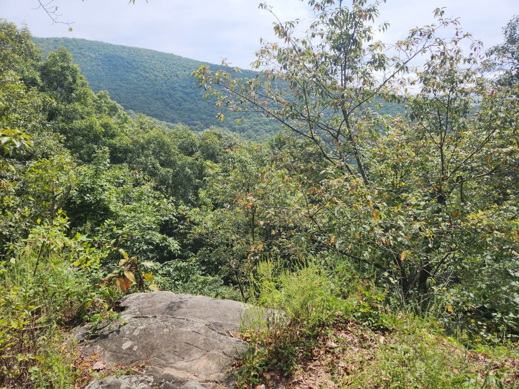
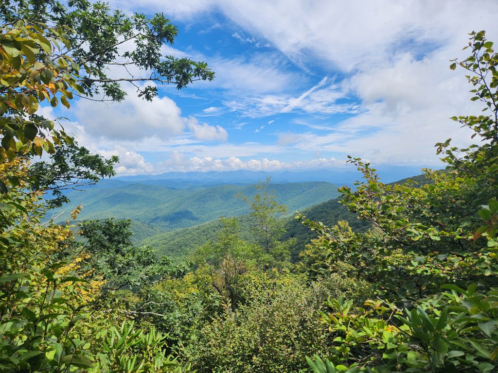
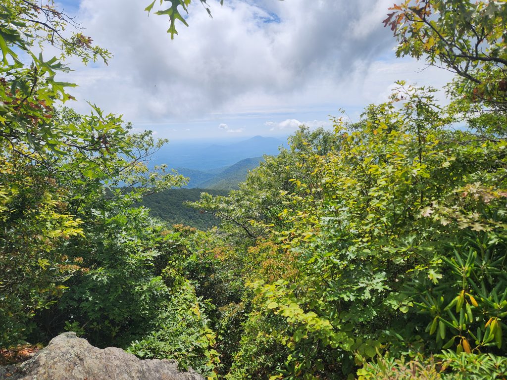
A few miles in, I was rewarded with a few stunning views. The openings were few and far between but when I found them, WOW! I couldn’t move away when I saw the first opening of a view of Tray Wilderness from the top of a mountain. I had to force myself to turn and keep hiking! *Holy crap, I just realized how much weight I’ve lost in a year.
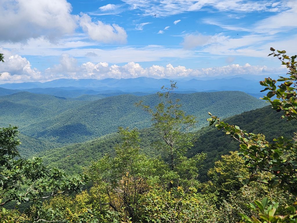
I made it to Tray Mountain shelter by around 1ish. But there was an issue on the ascent. An ankle injury I had in my mid-20’s started coming back in full force. I had been putting it off for a while thinking I could just “live with it”. I had a bone spur on my right ankle. Normally it never really bothered me much unless I was exercising heavily. And today was that day it decided to say NOPE! *rolls eyes*
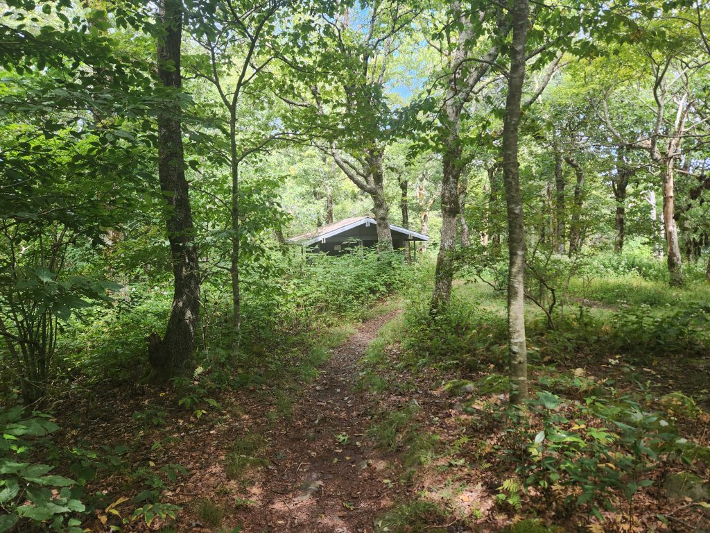
I wound up trying to reach out to Bandit while sitting at Tray Mountain Shelter. Luckily he was able to come to get me immediately. I didn’t want to attempt the remaining section with my ankle the way it was. On the ride out he advised me that the remaining part of that section isn’t as bad as the first 3-4 miles. I’ll eventually finish that section and continue my A.T. trek. Below are a few other random images from this day.
Happy Camping!
See you on the trail!
~T.B. Pug
Guana Tolomato Matanzas Reserve Hike
Location: Guana Tolomato Matanzas National Estuarine Research Reserve
Address: 505 Guana River Rd #6527, Ponte Vedra Beach, FL 32082
Telephone: (904) 380-8600
Lat/Long: 30.022299, -81.332612
Website: https://gtmnerr.org/visit/
Date: September 20th 2025
Media: *Located within and at the bottom of each post
Hardware used for media: Galaxy S21
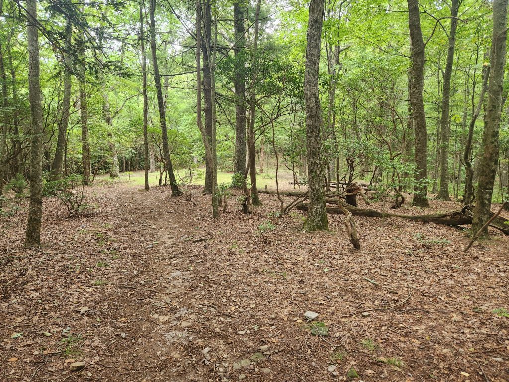
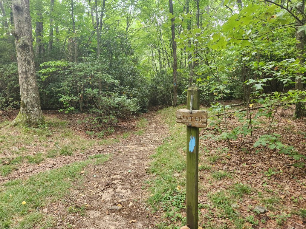
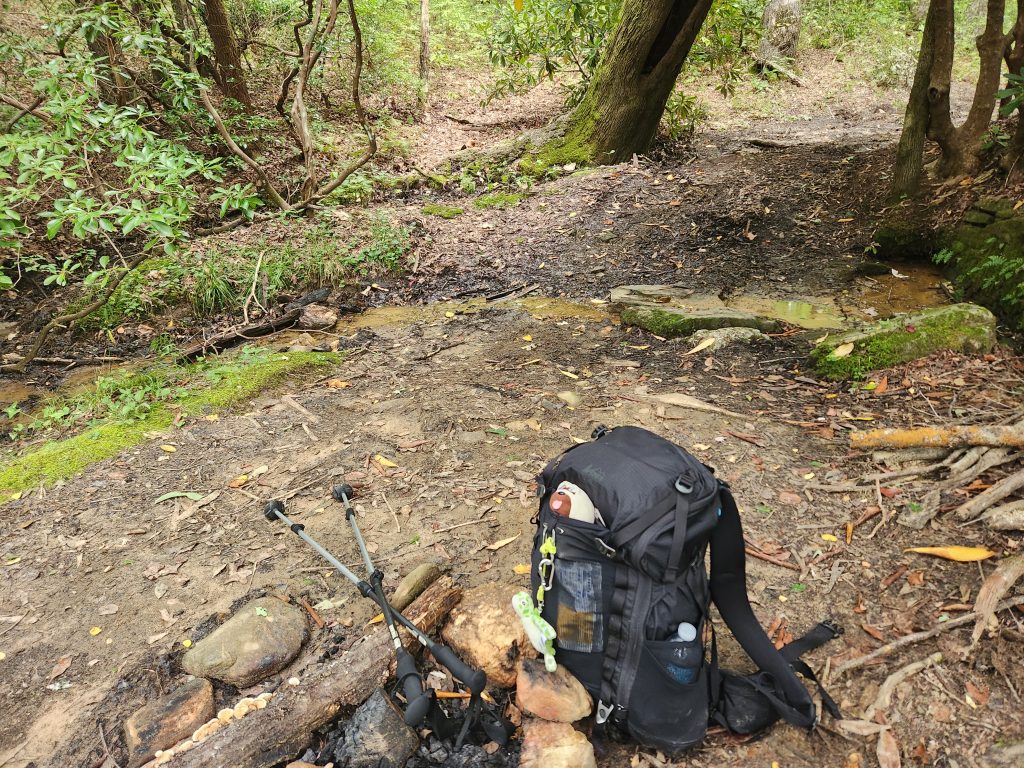
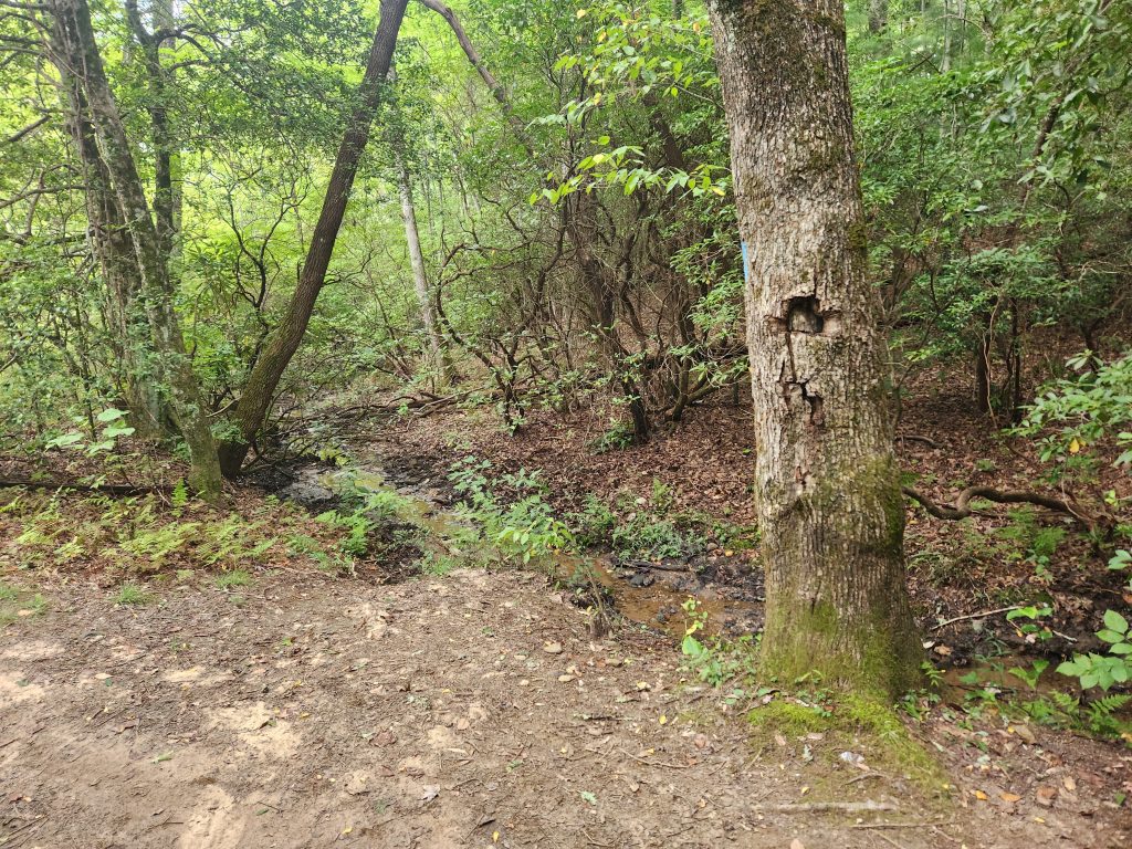
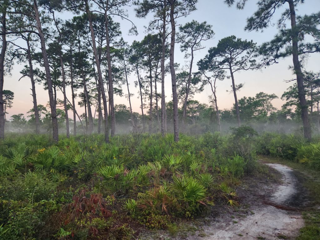
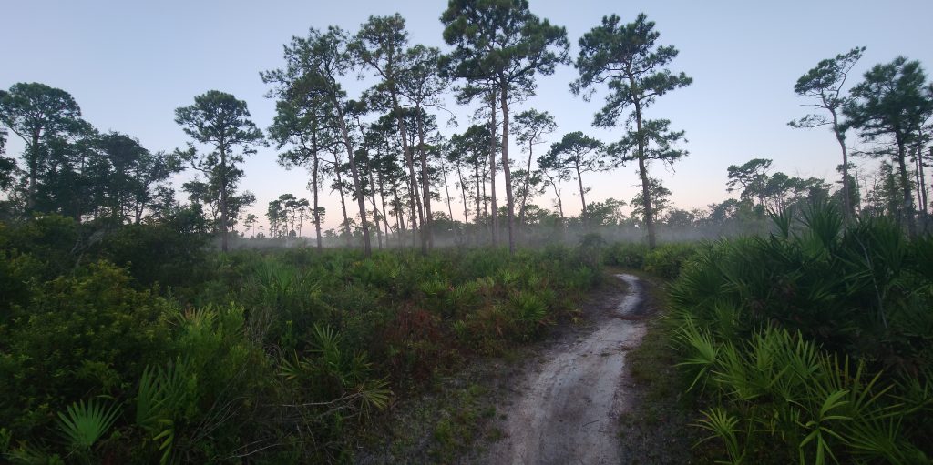
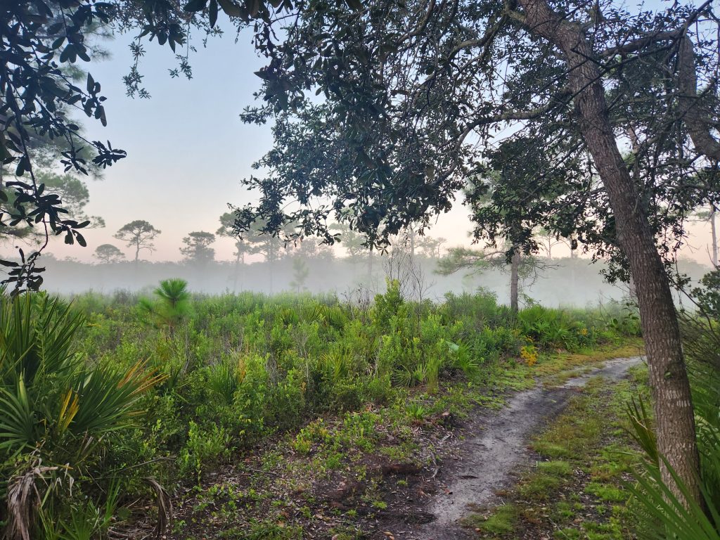
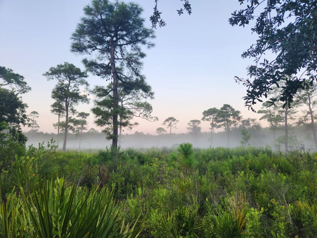
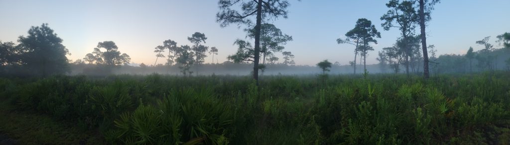
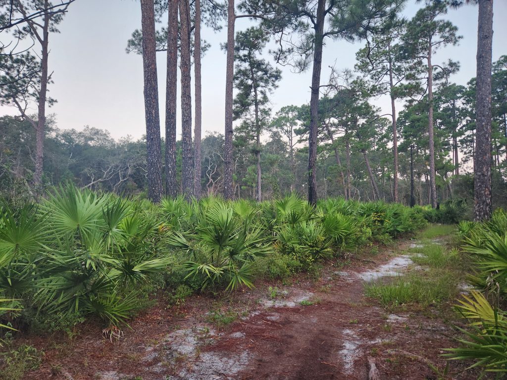
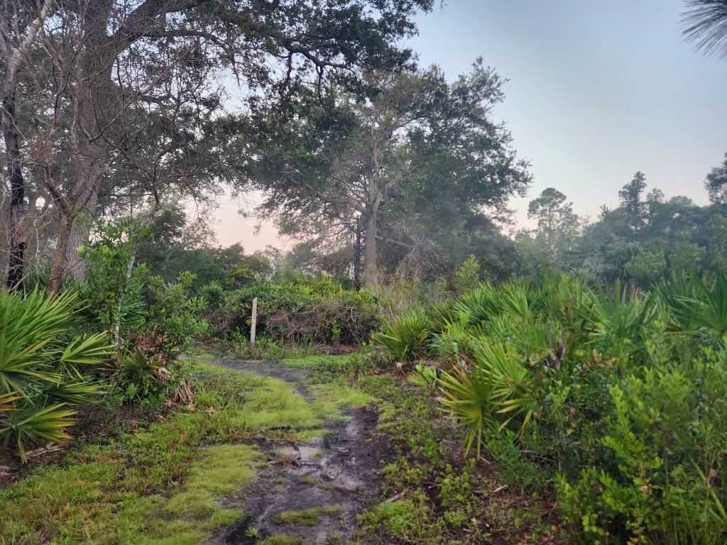
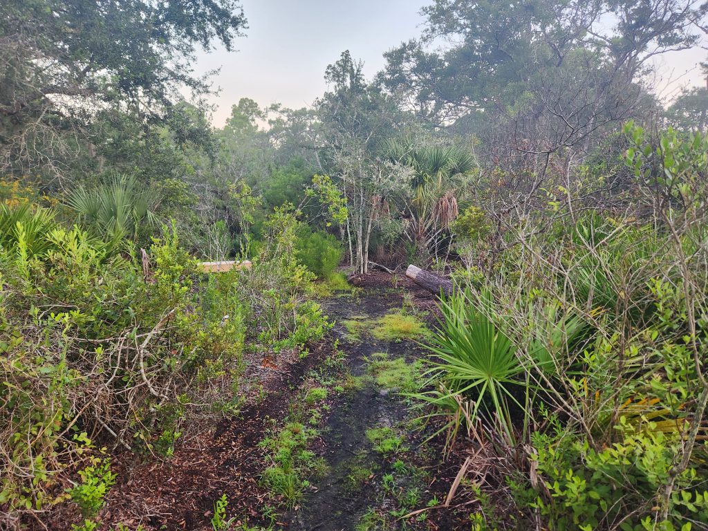
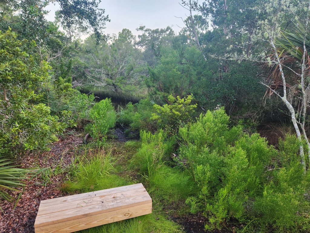
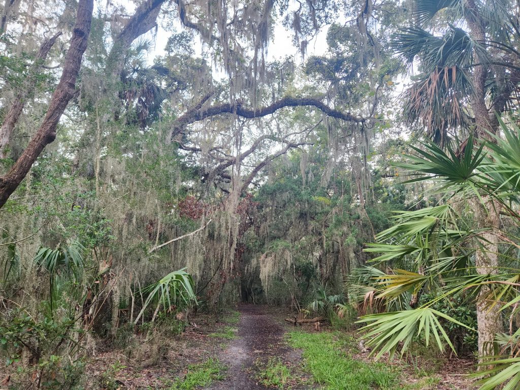
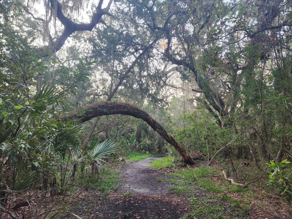
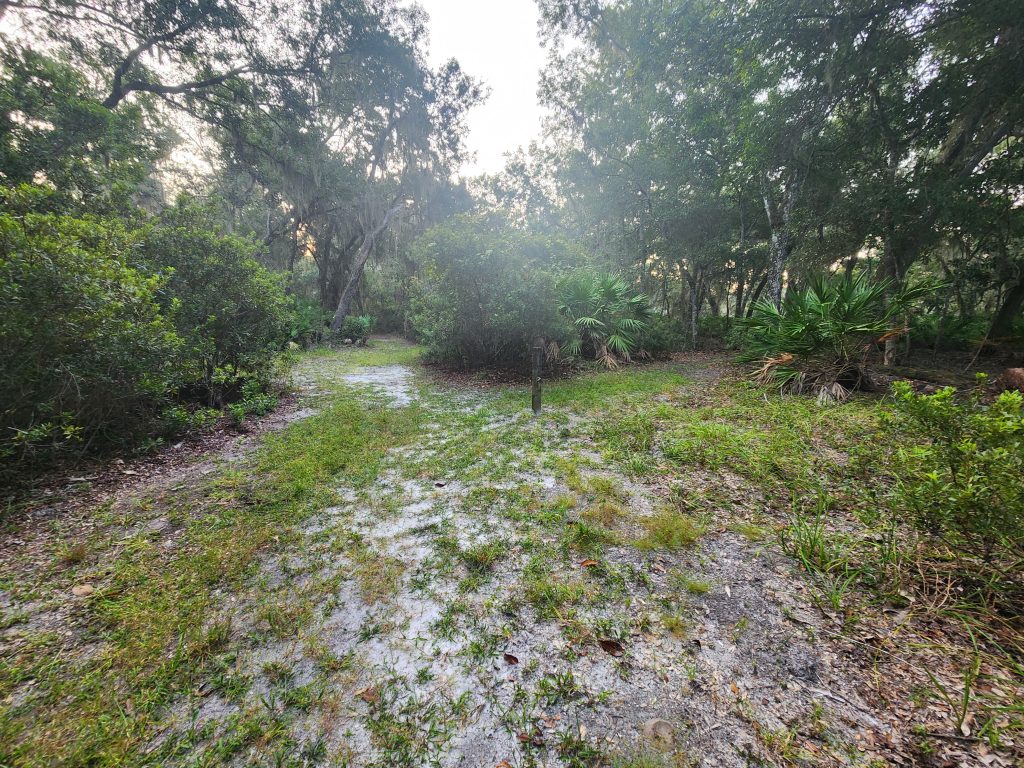
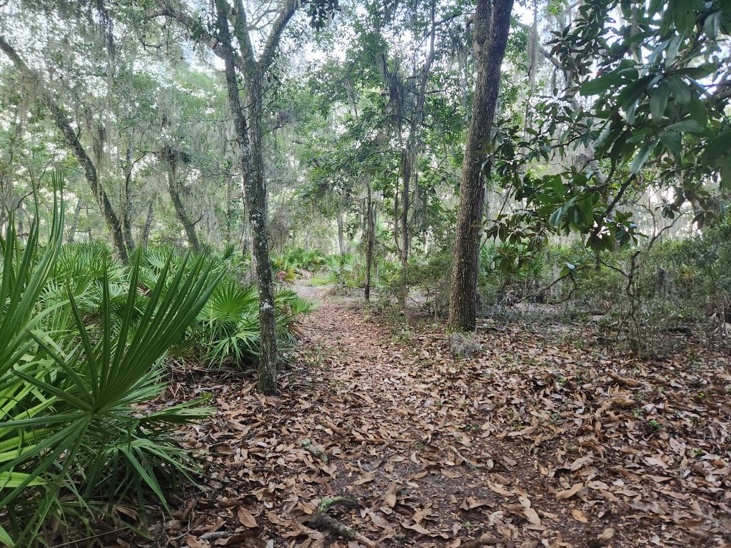
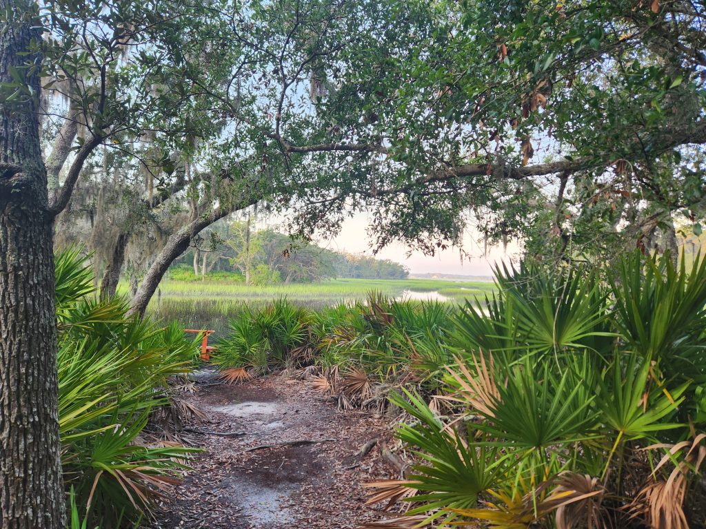
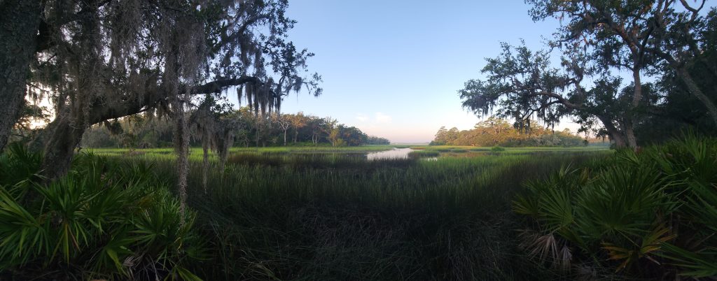
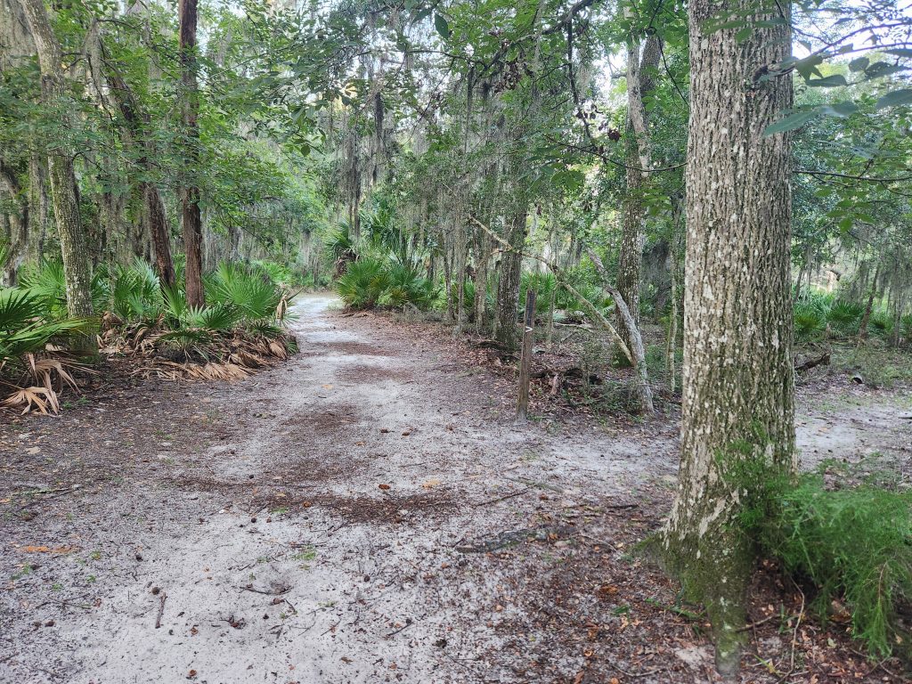
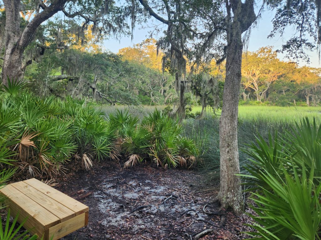
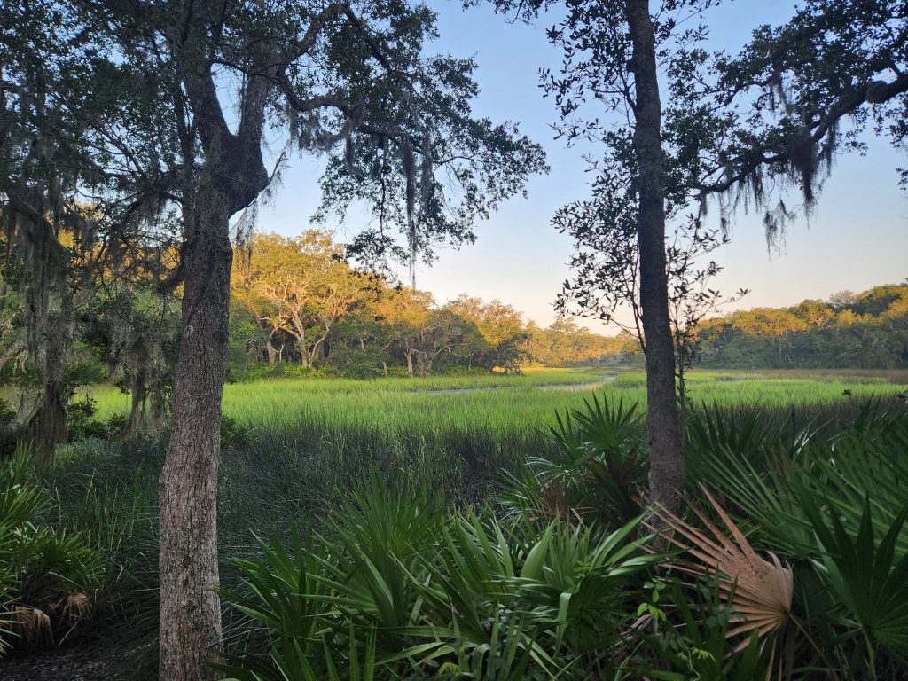
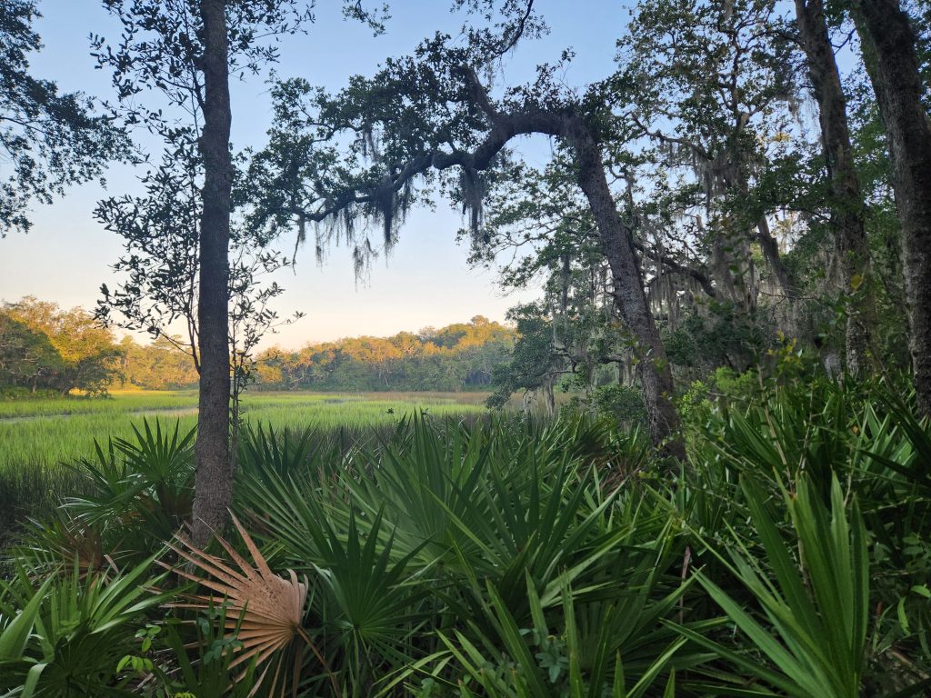
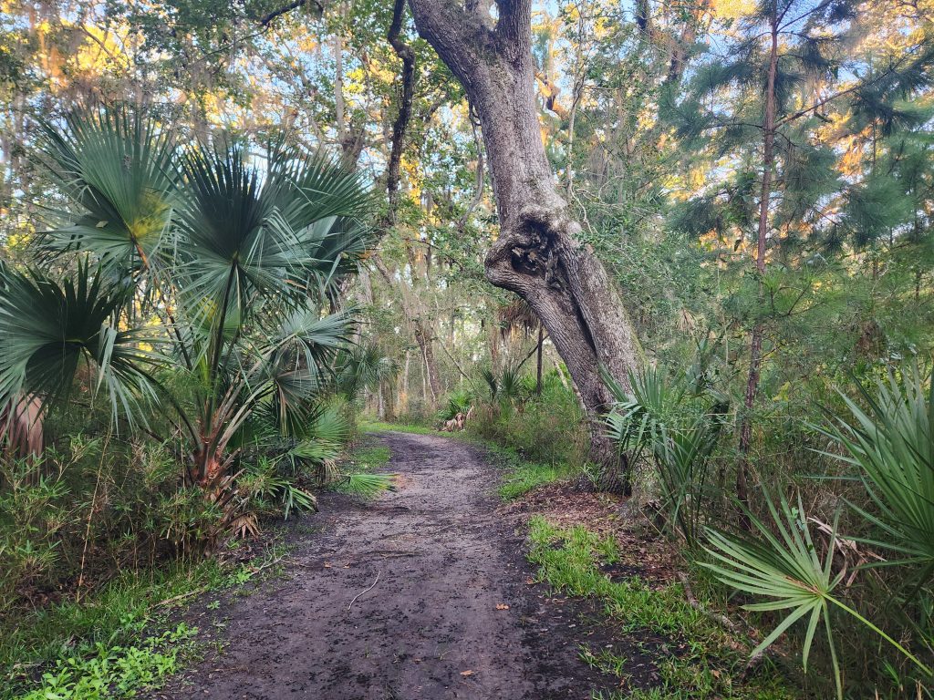
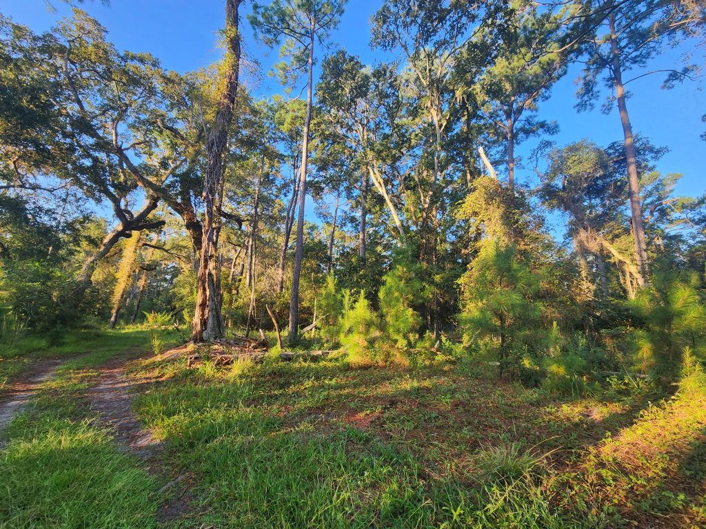
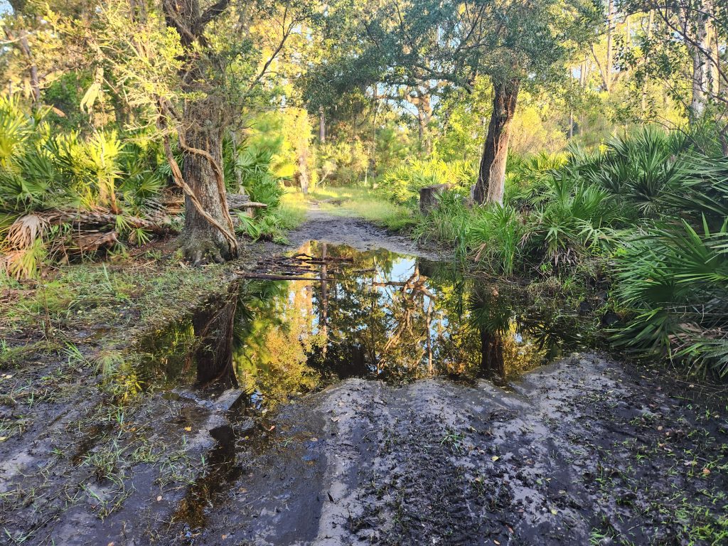
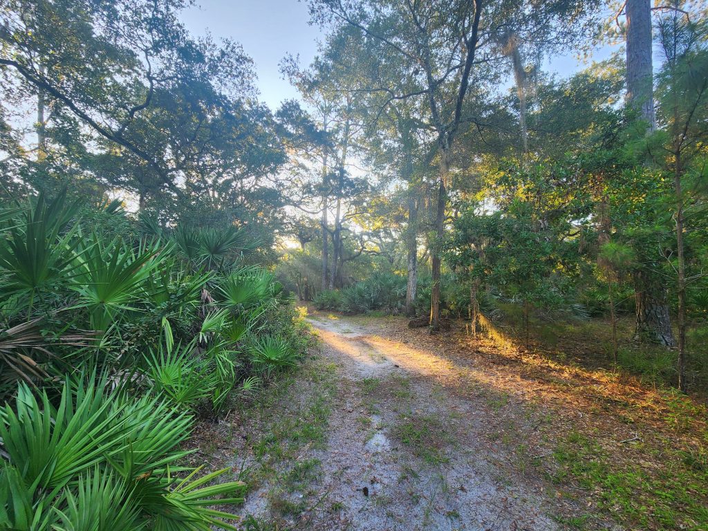
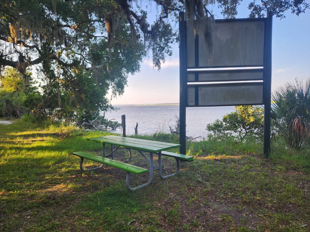
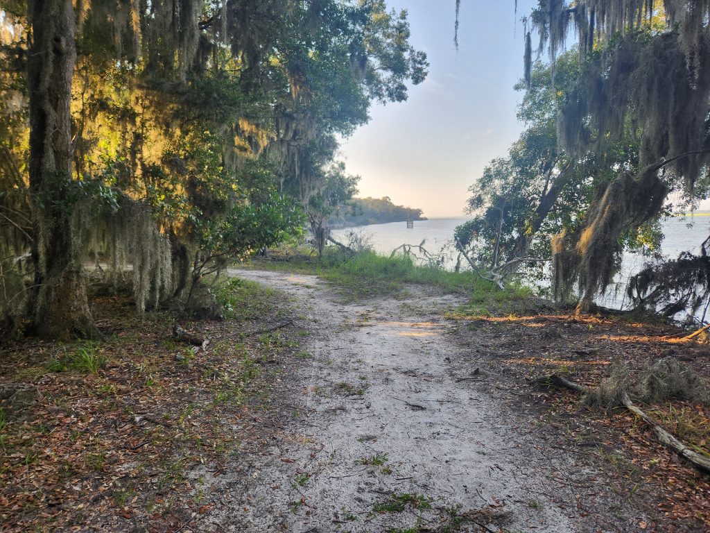
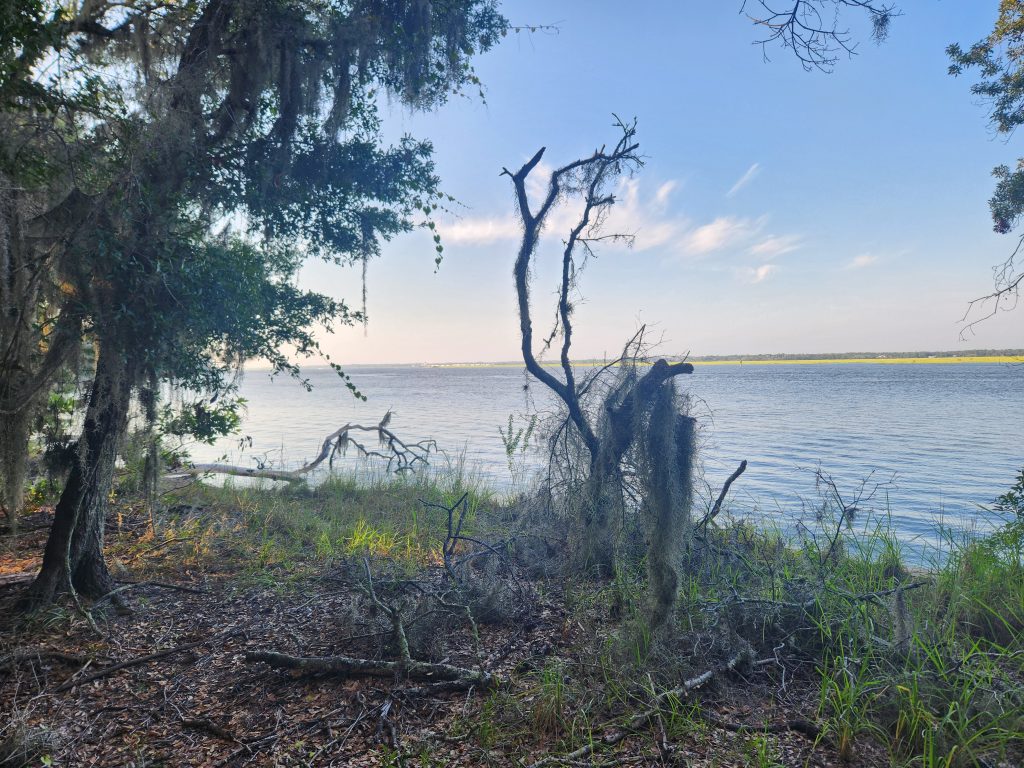
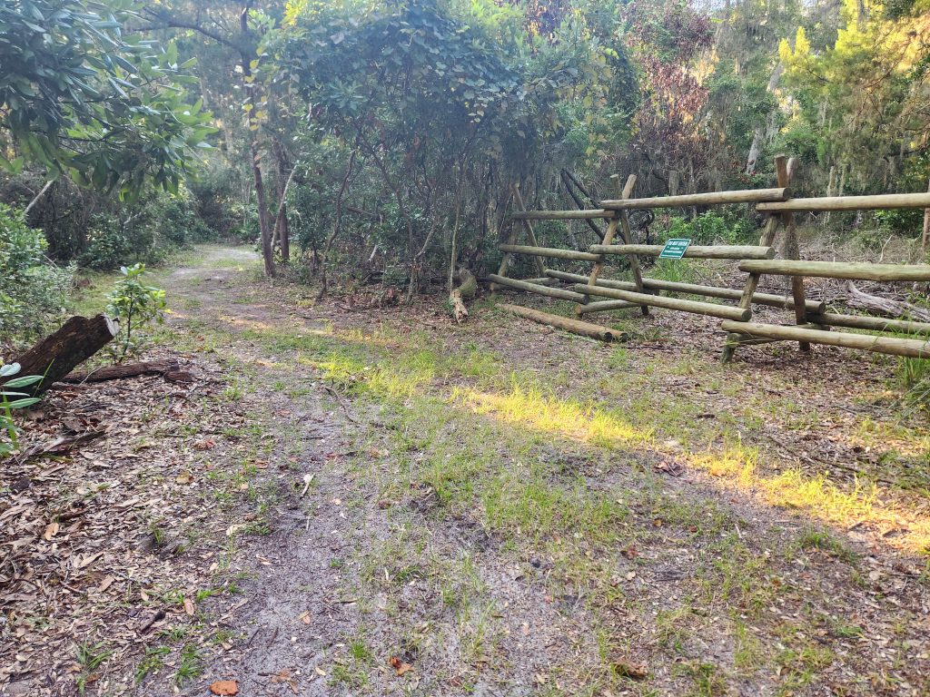
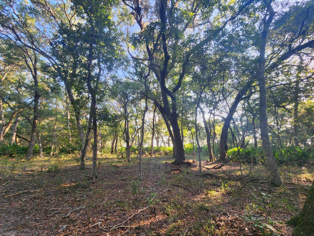
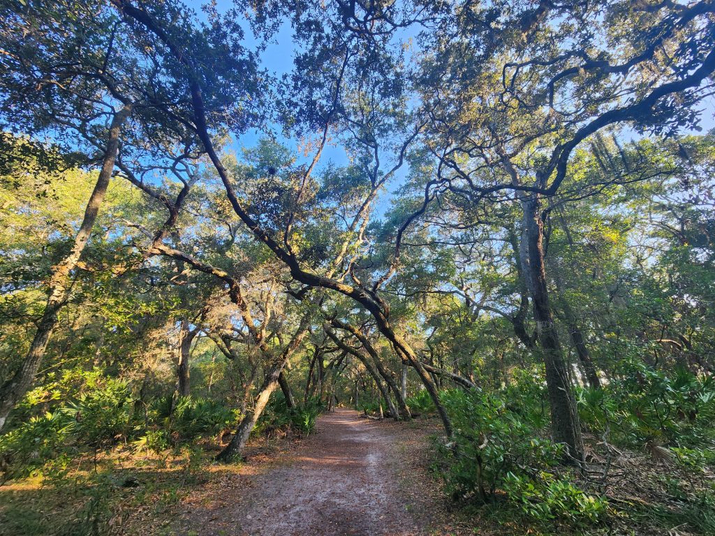
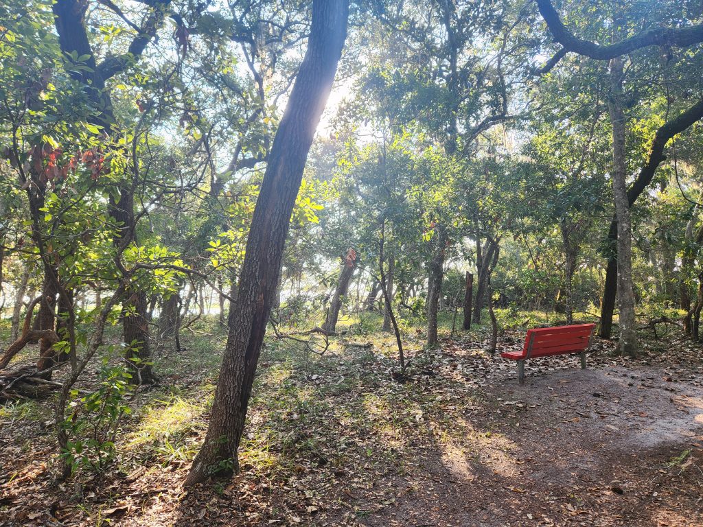
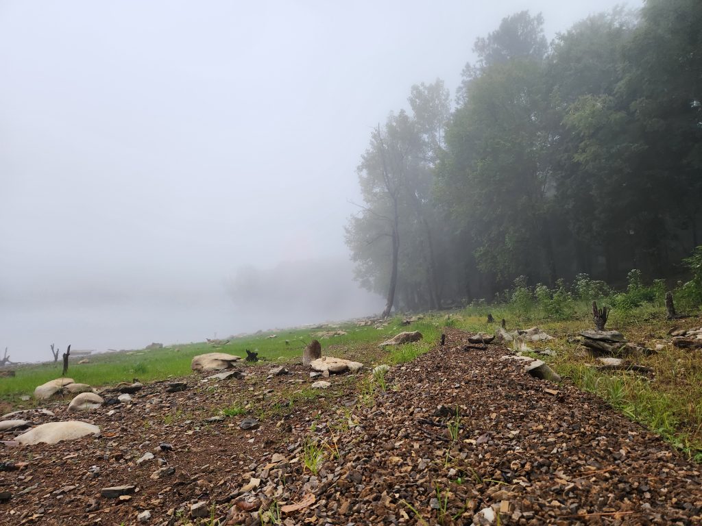
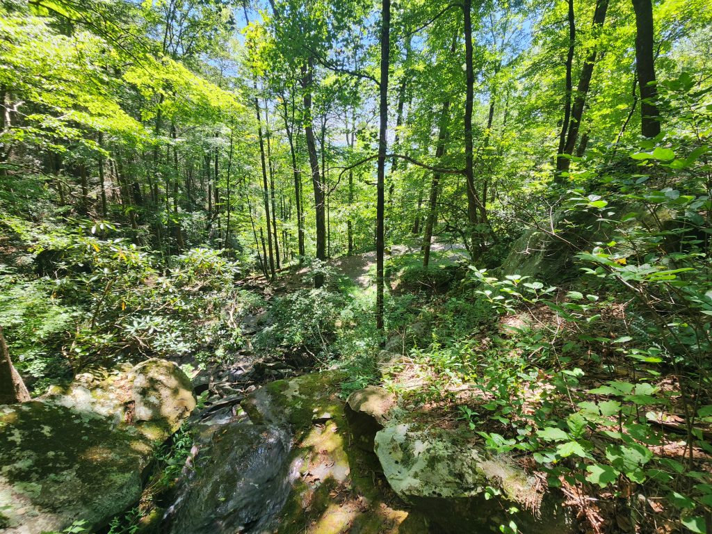
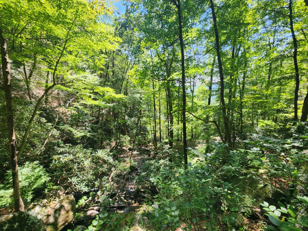
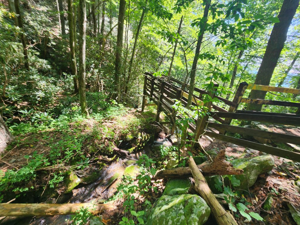
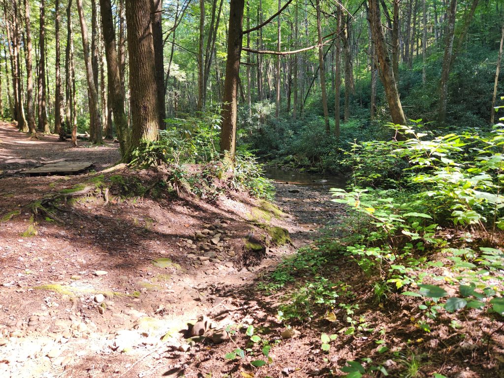
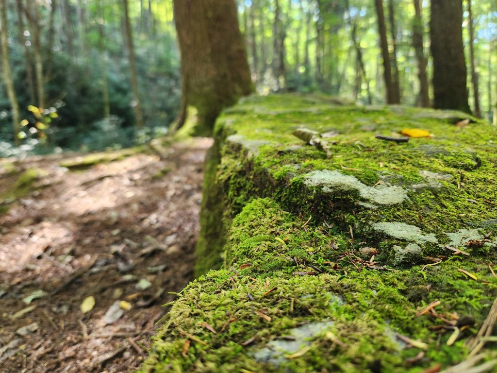
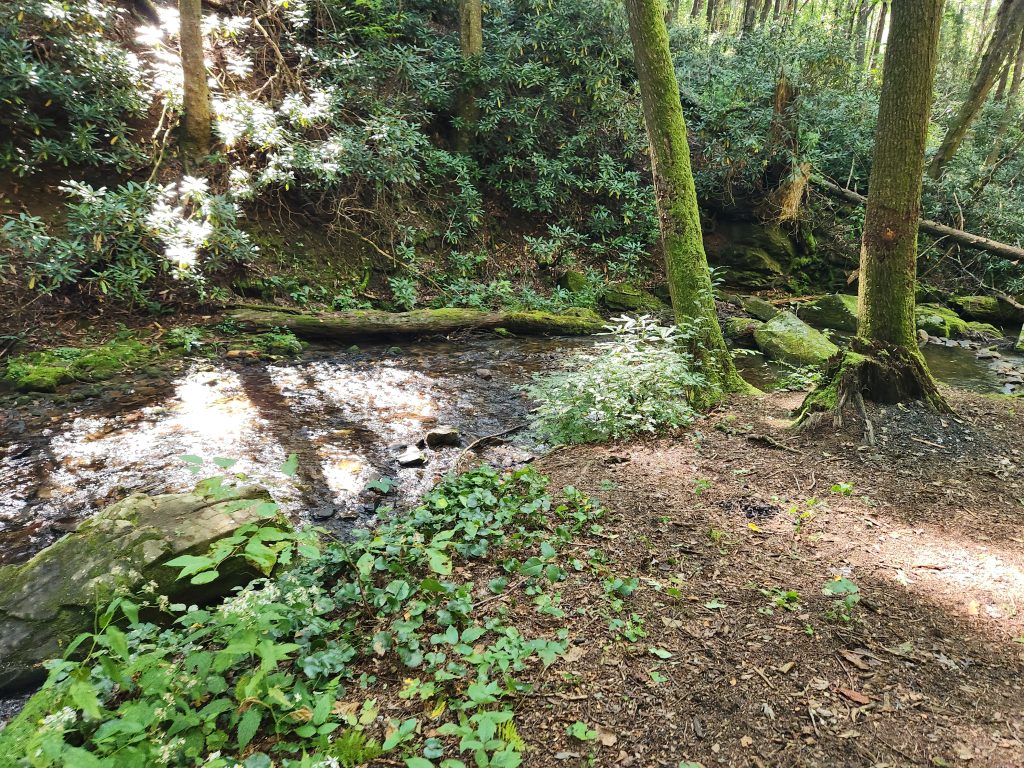
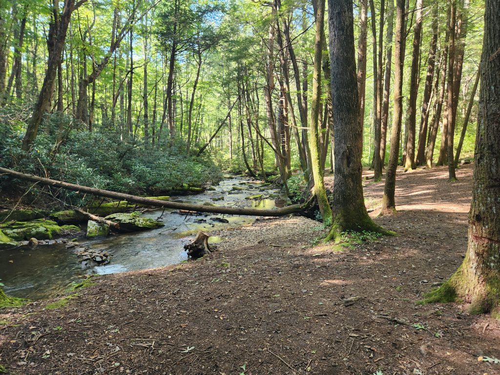
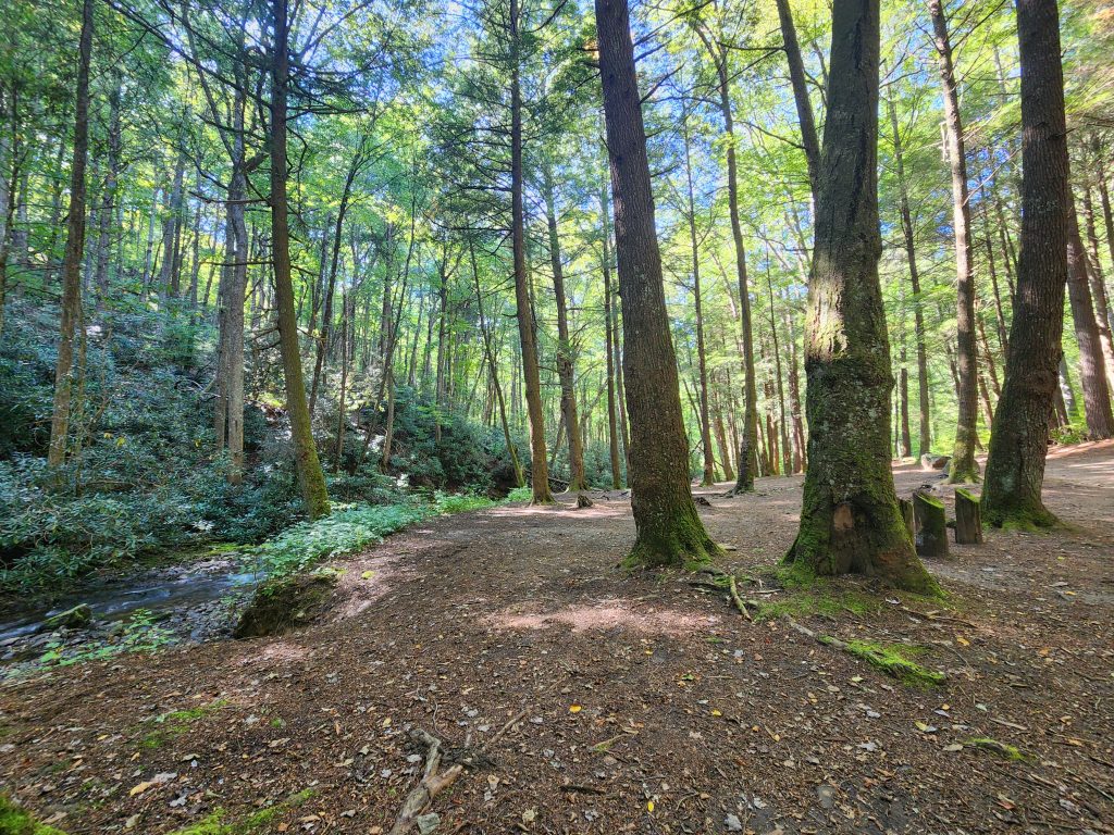
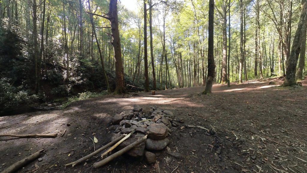
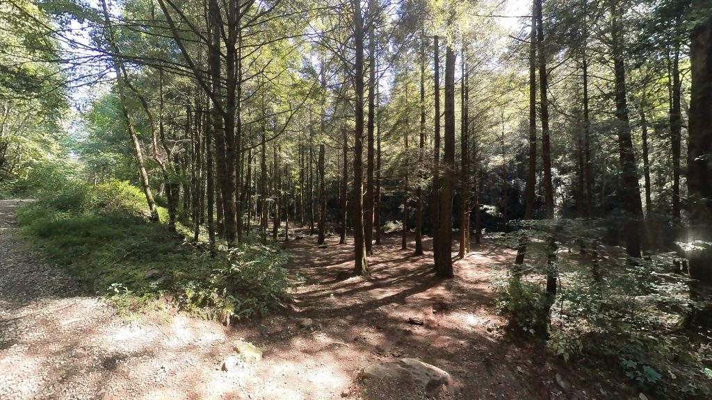
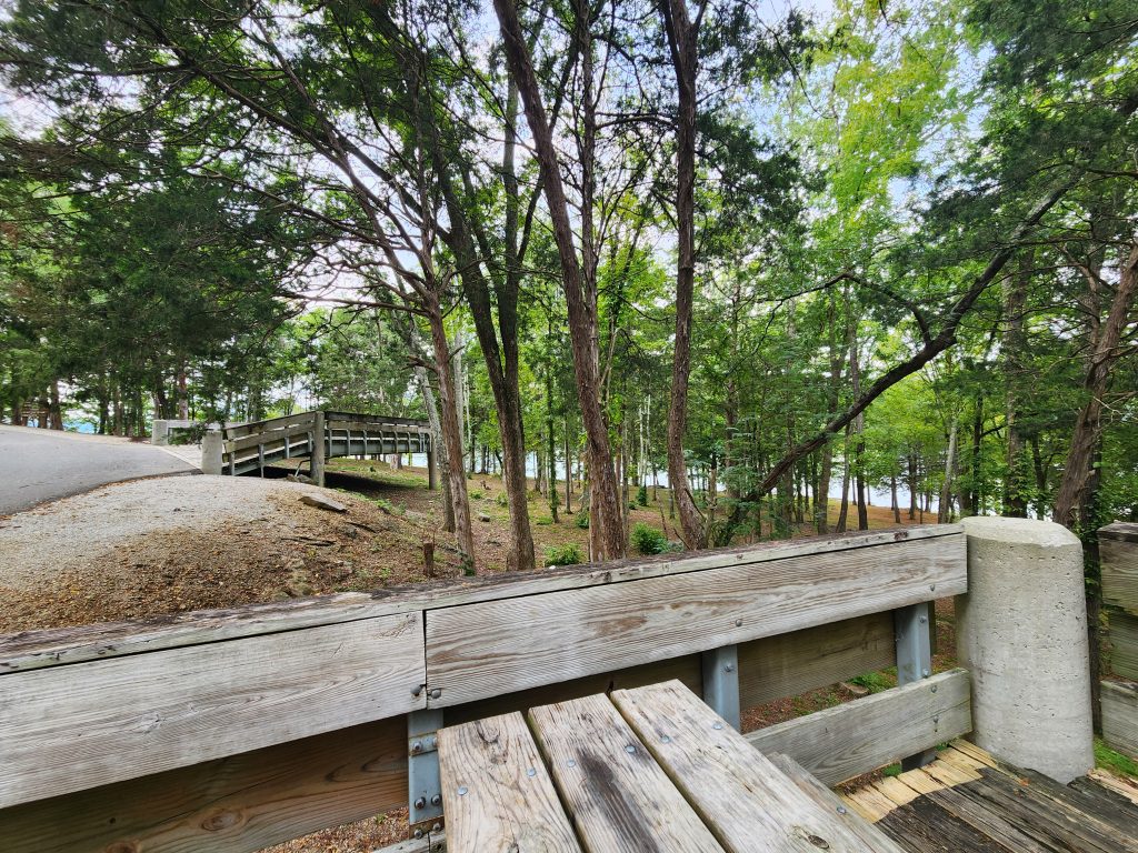
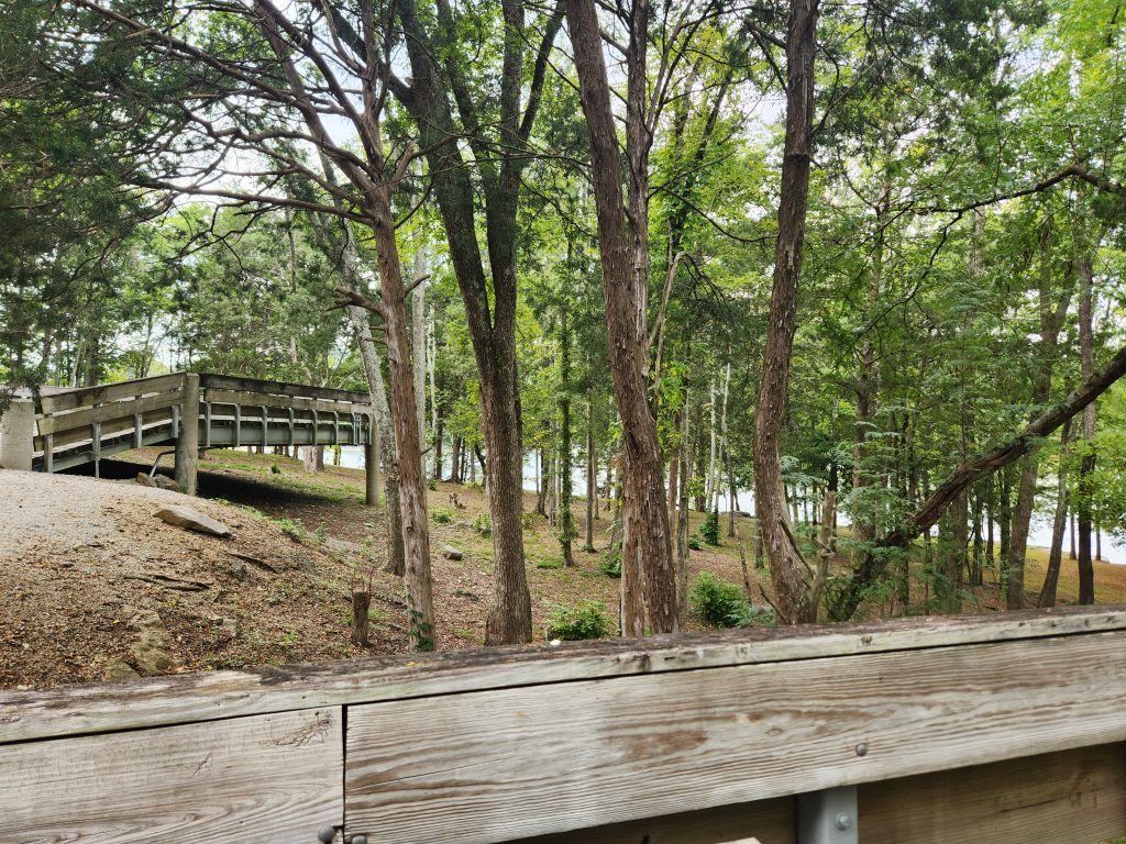
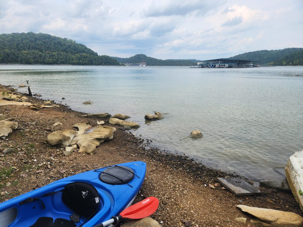
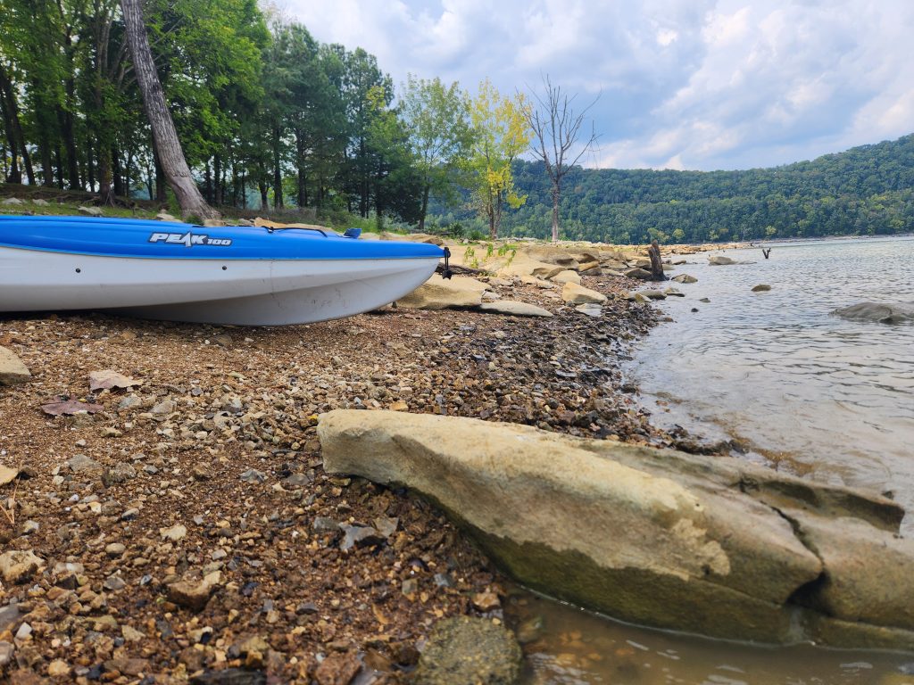
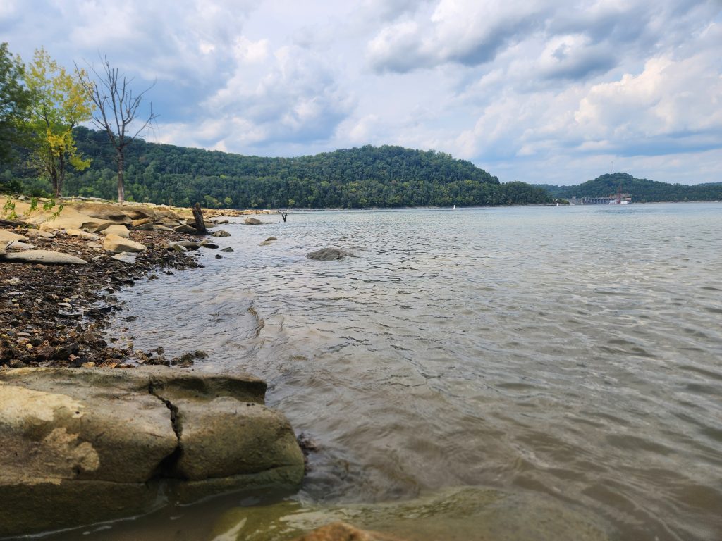
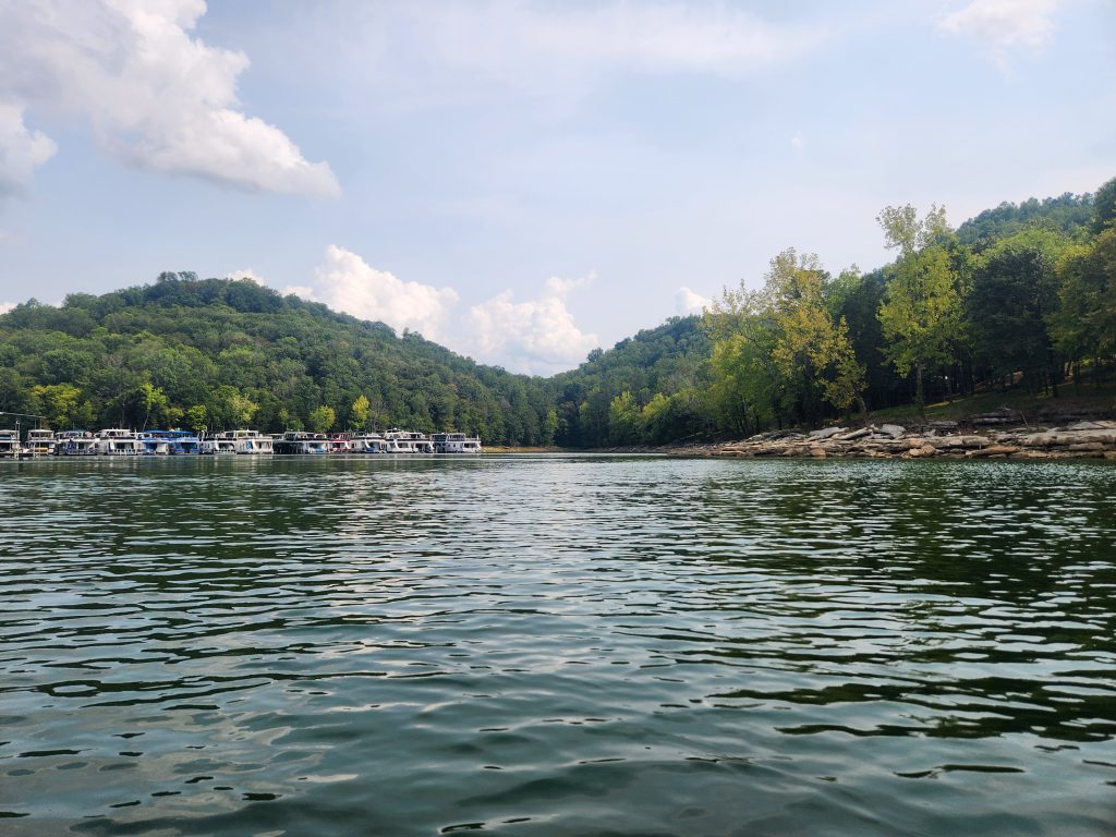
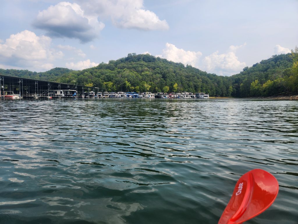
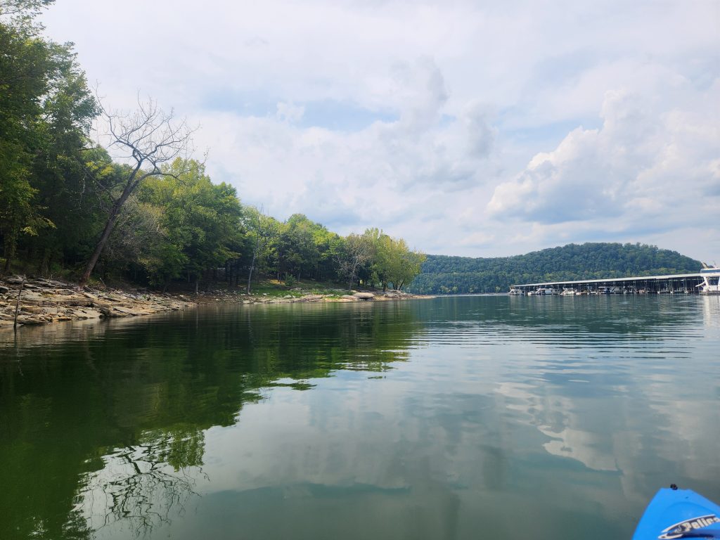
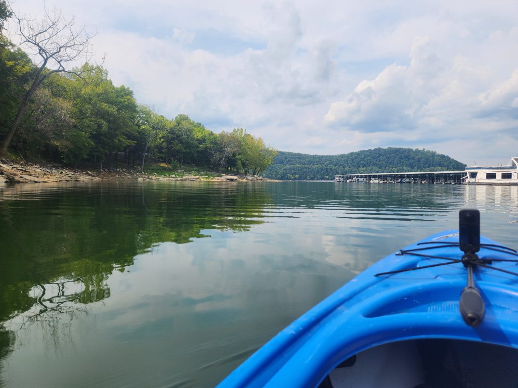
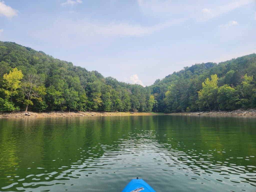
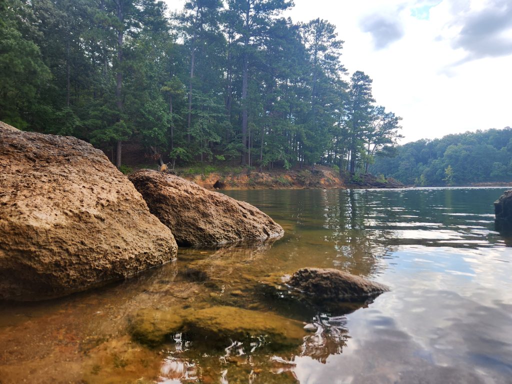
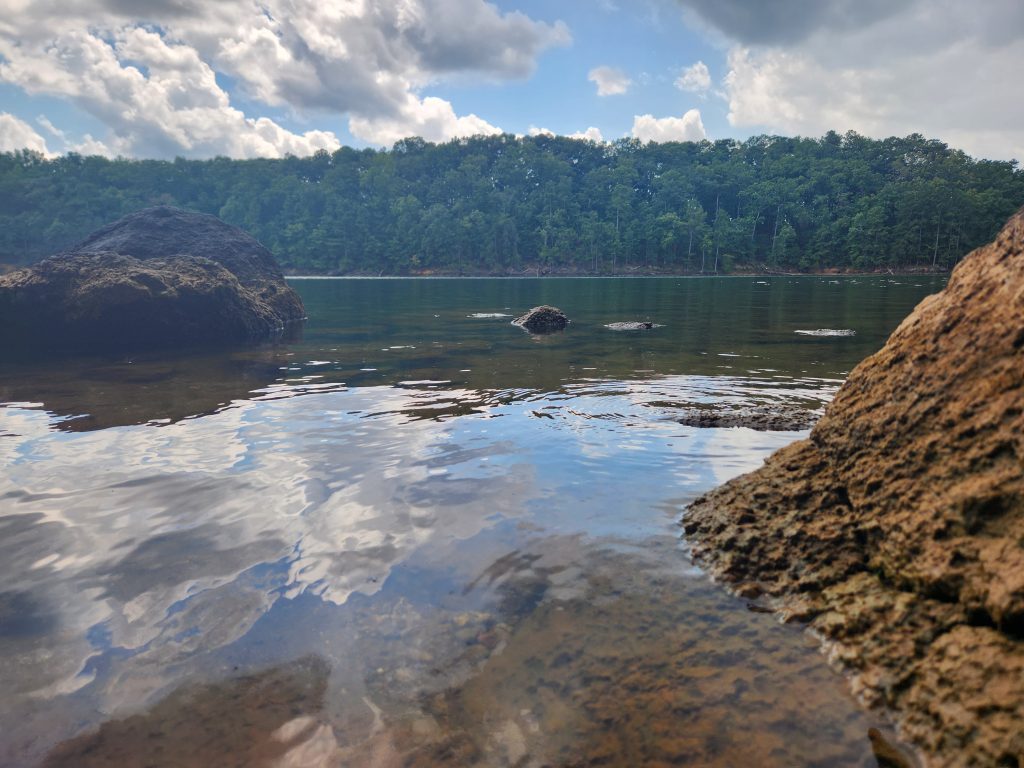
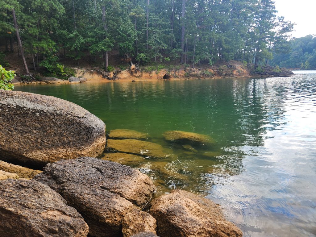
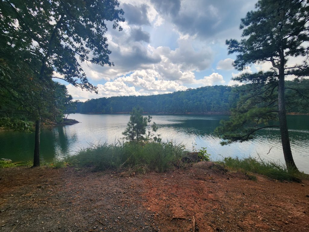
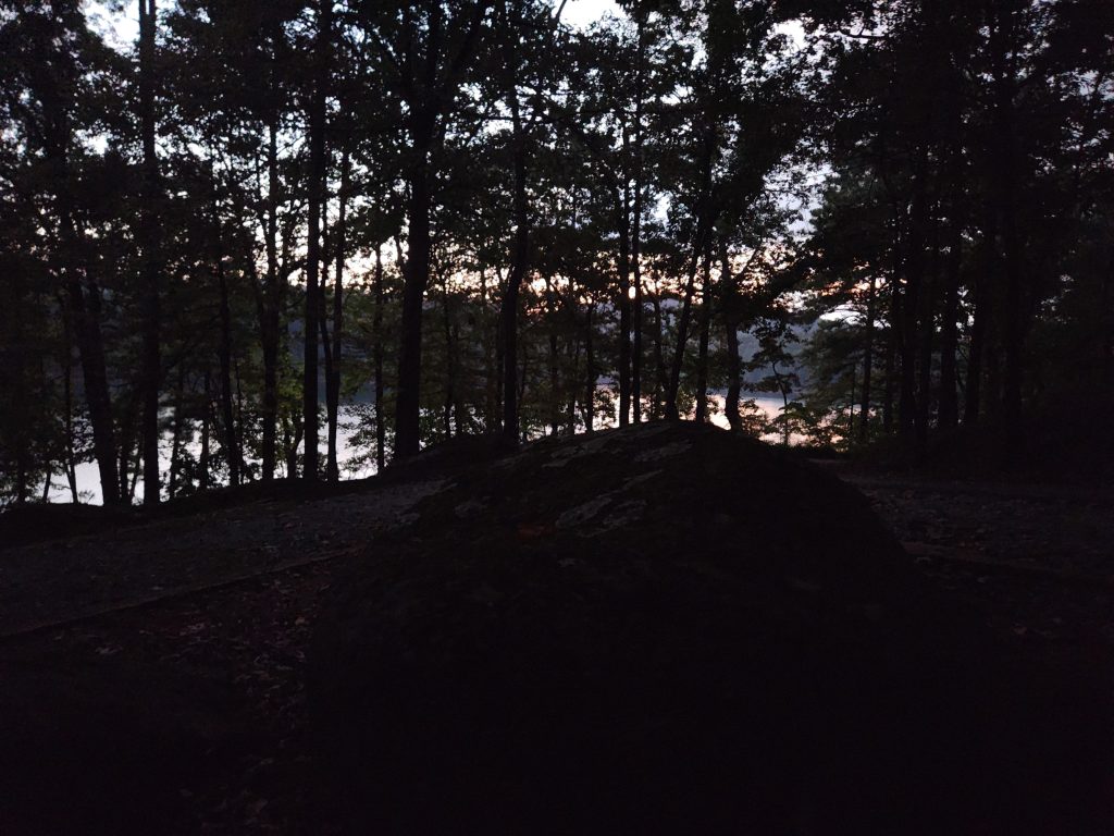
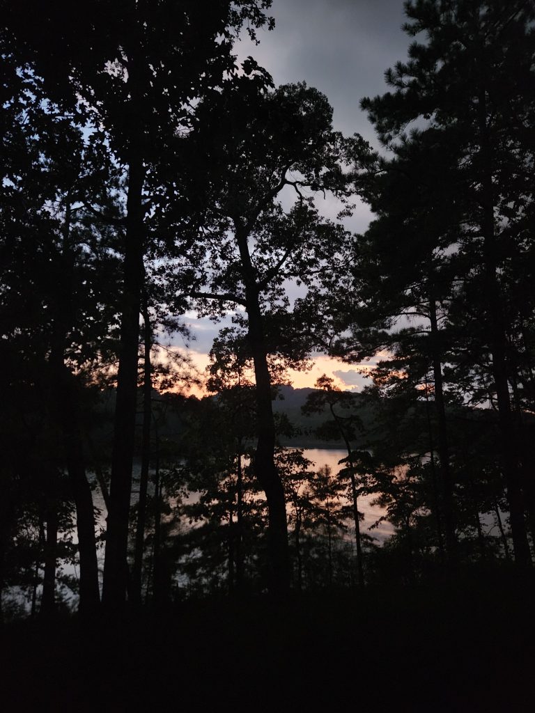
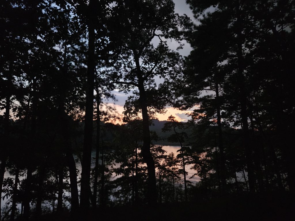
As many times as I’ve come here I’m always amazed at finding new things. This is one of my go-to local day hikes. I arrived extremely early, 6:30am. I was surprised to see there were already 8 cars parked near the boat ramps and people already fishing off the dam, in pitch black!
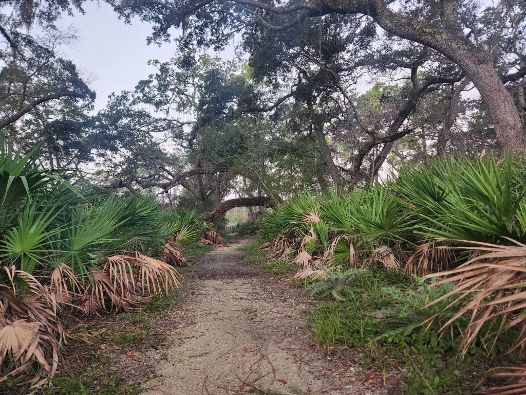
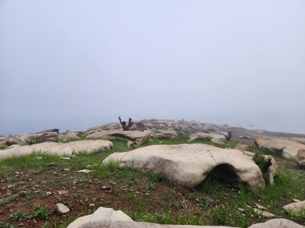
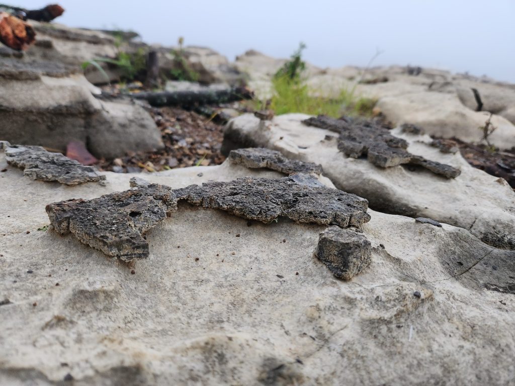
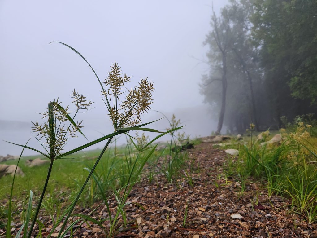
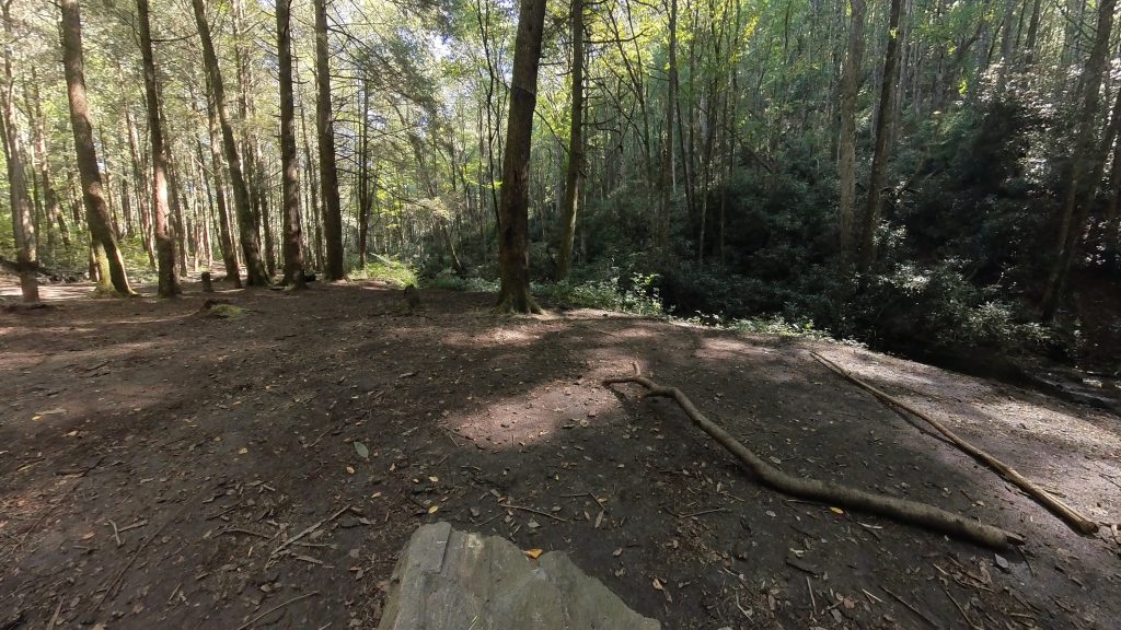
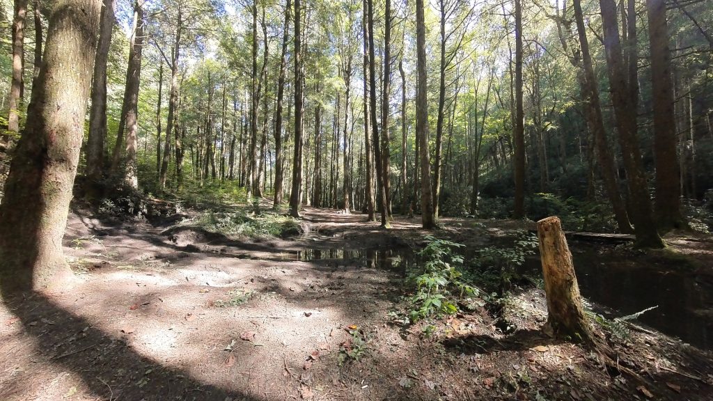
I’m keeping this short because this is one of my regular hikes, so it’s mostly pictures. But I did come across several deer on the path. It’s so hard to catch a picture of them, they get frightened easily. The morning mist pictures are a first for me on this trail. Loved how the fog just hung out in the open areas.
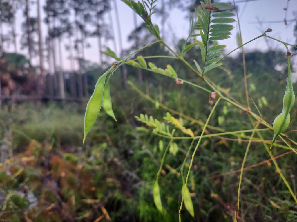
Also, can anyone tell me what the hell this plant is, because those look like edamame, buuuuuuuuuut they’re not!
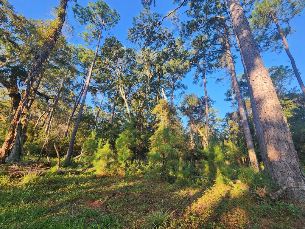
The one drawback to this trail is the banana spiders!! As early as I get on-trail, there’s no one that’s walked it yet for the day, sooooo you kinda have to keep swinging your trek pole in front of you in case there’s spider webs you can’t see. Other than that, it’s a great place for a nice 3 hour, 7 mile hike!
*And sometimes it’s good to turn around once in a while and see whose watching you! : )
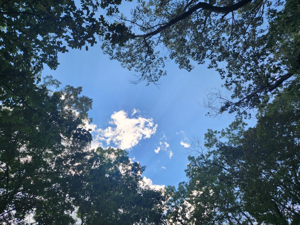
The sun peeking through the forest was stunning!
Happy Camping!
See you on the trail!
~T.B. Pug
Edgar Evins Morning & Mapping New Sites (Day #3)
Location: Edgar Evins
Address: 1630 Edgar Evins State Park Rd, Silver Point, TN 38582
Telephone: (888) 867-2757
Lat/Long: 36.082730, -85.832353
Website: https://tnstateparks.com/parks/edgar-evins
Date: September 7th 2025
Media: *Located within and at the bottom of each post
Hardware used for media: GoPro 10, Insta360 X3, Galaxy S21
This will be a multi-post, as this was my ride back home day, with several stops along the way.
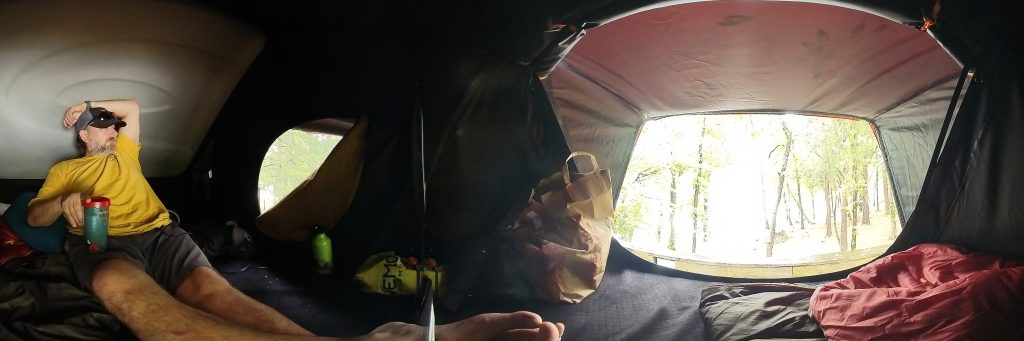
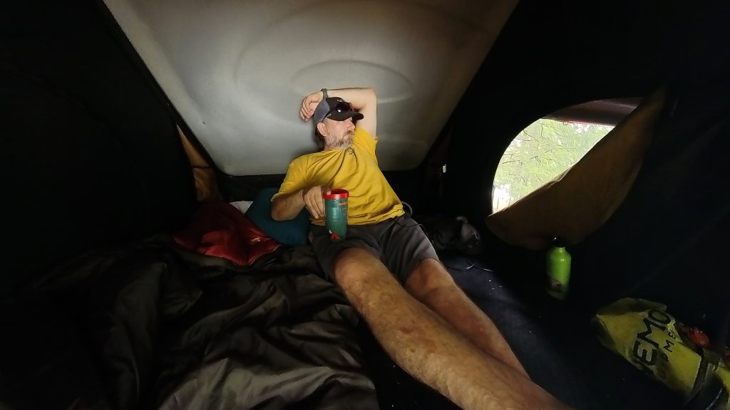
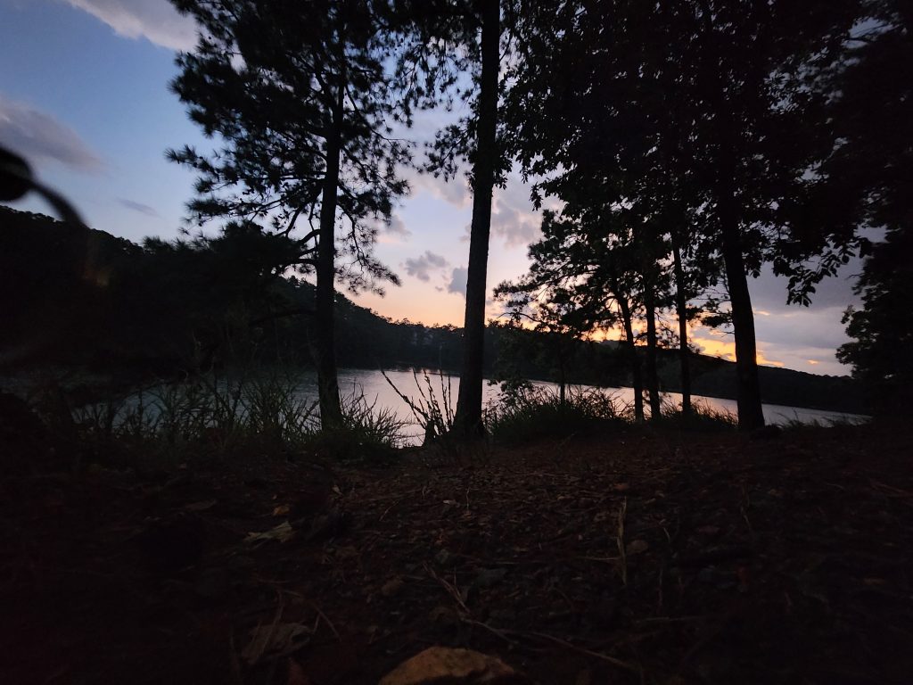
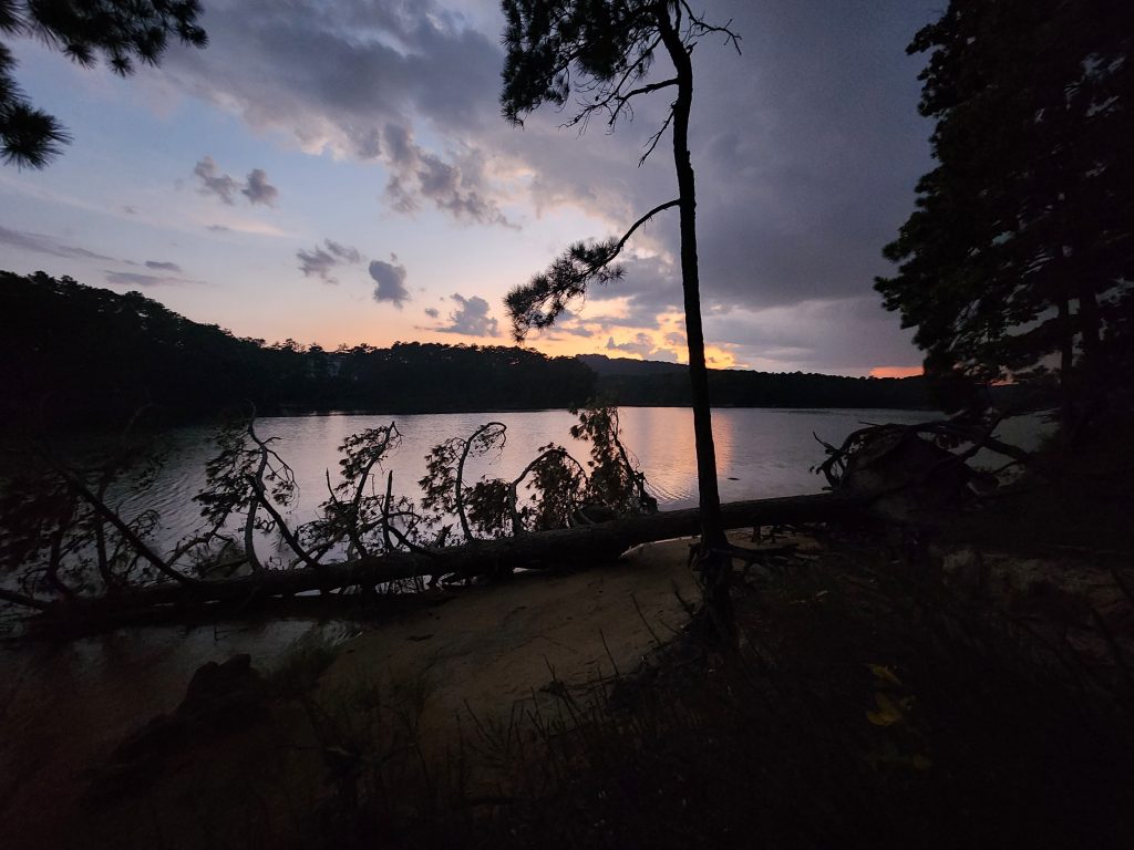
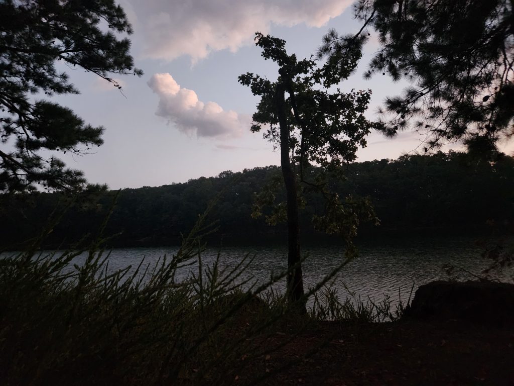
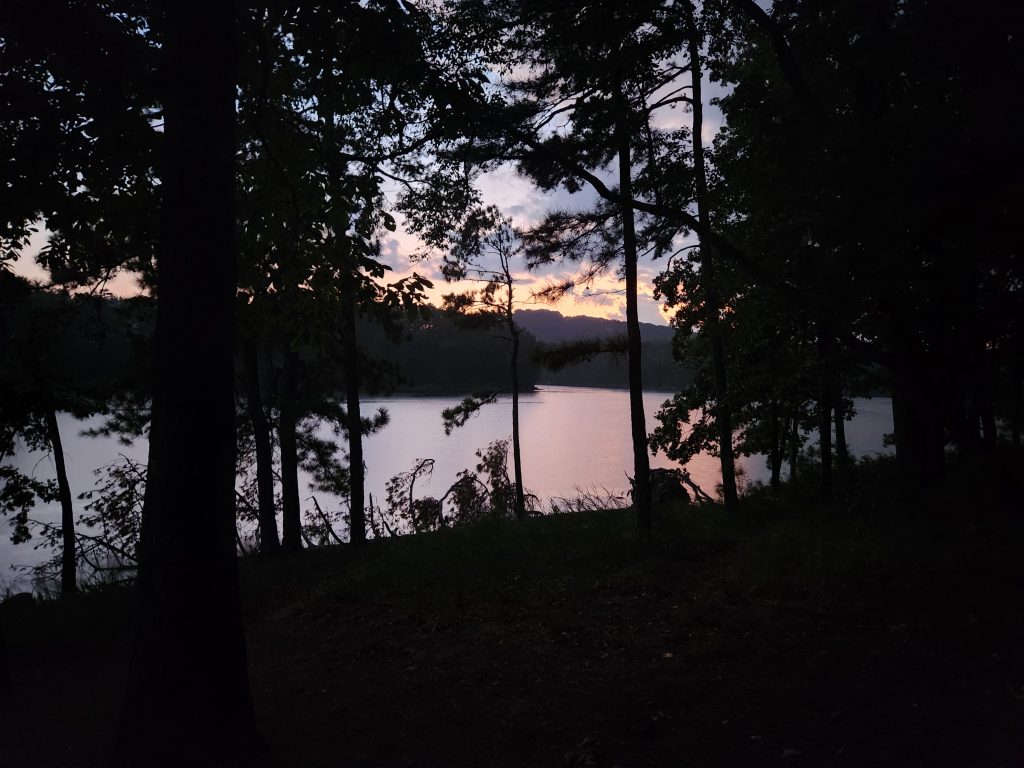
I woke up to an extremely chilly 52 degrees. Great test of my new Exped 3 season sleeping bag. It worked great. I didn’t realize how cold it was, even with all my windows open or slightly open, until I moved out of the sleeping bag! Going from 90+ degree temps in FL to the 50’s in 2 days was a bit of a shocker, but a wonderful bonus!
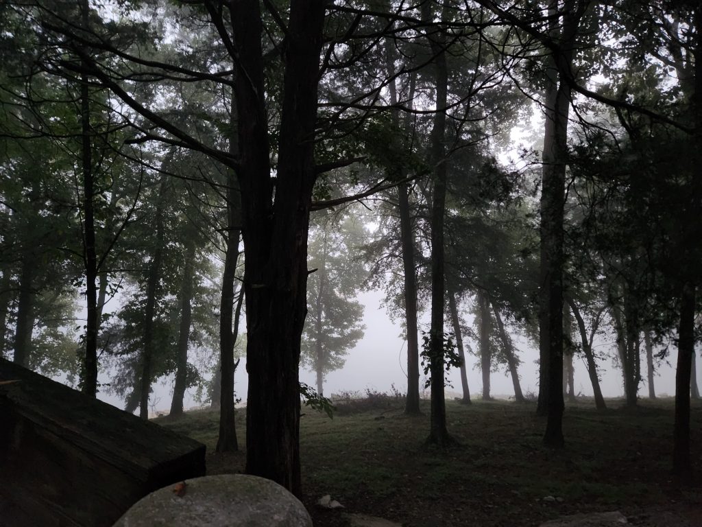
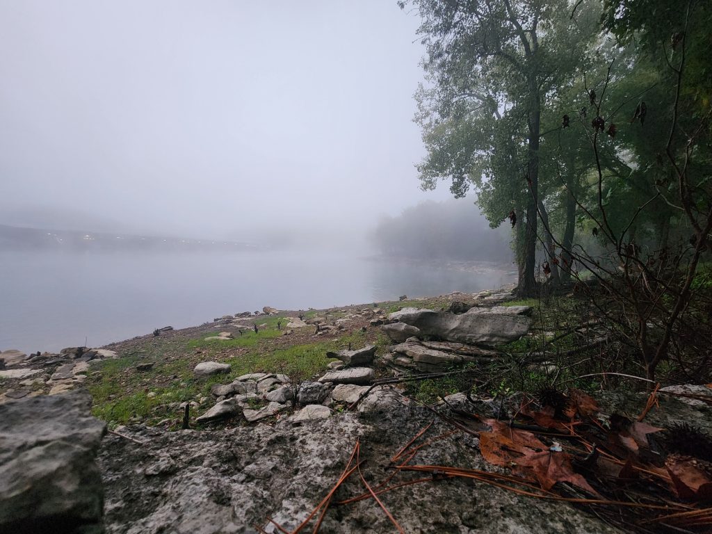
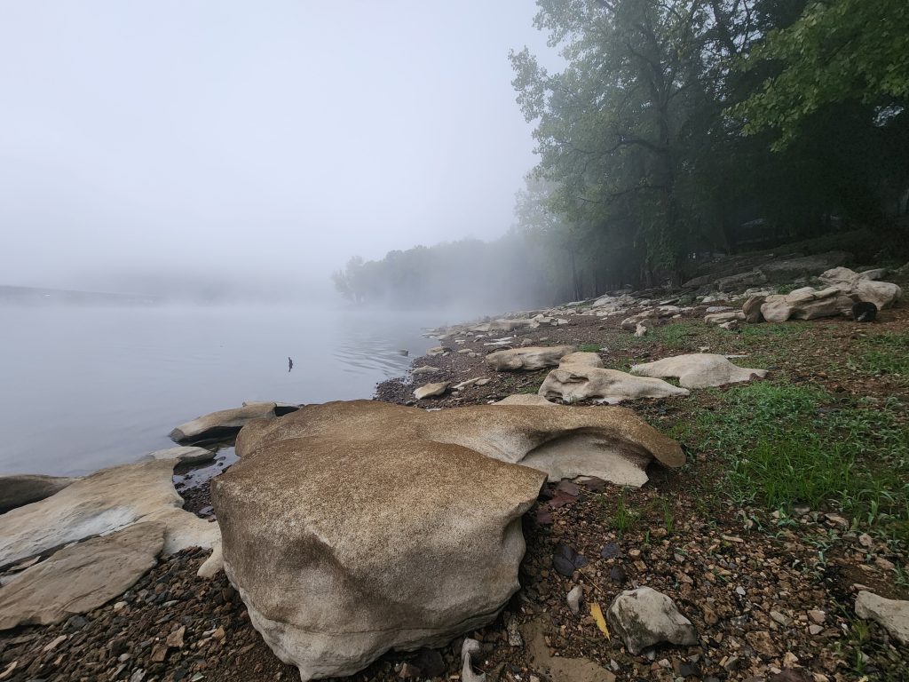
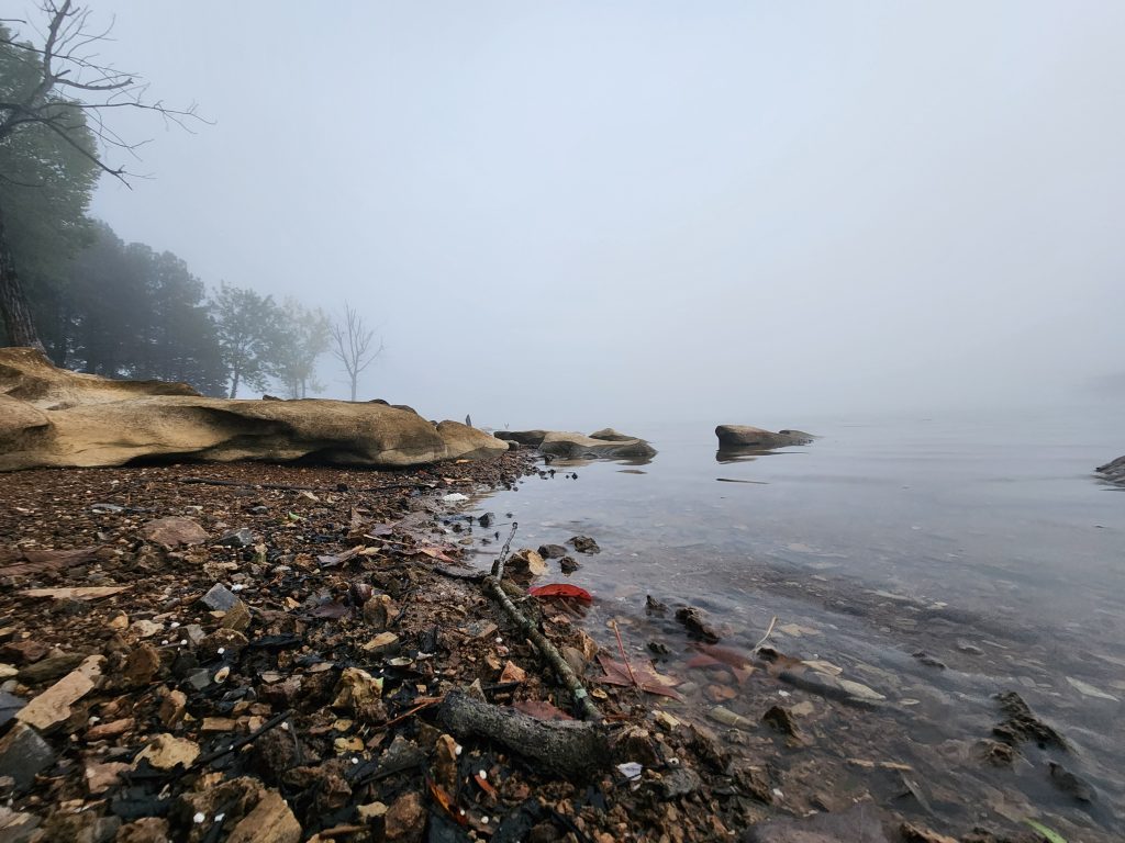
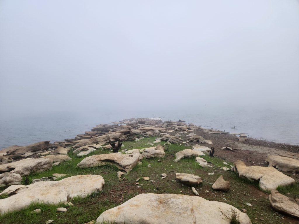
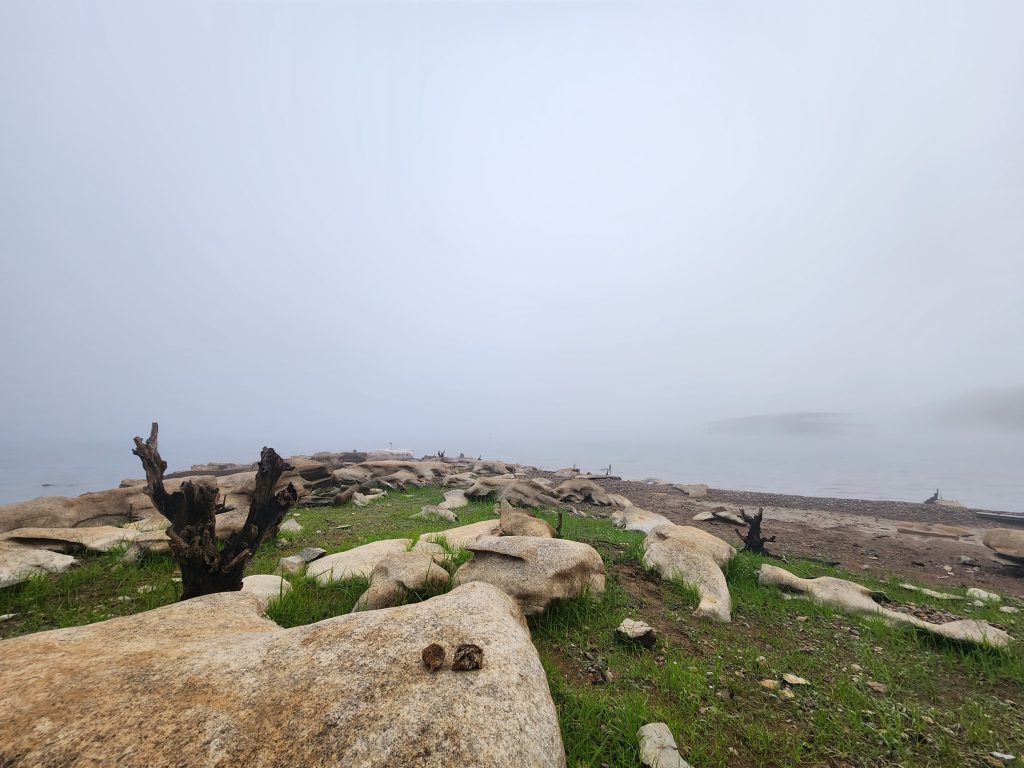
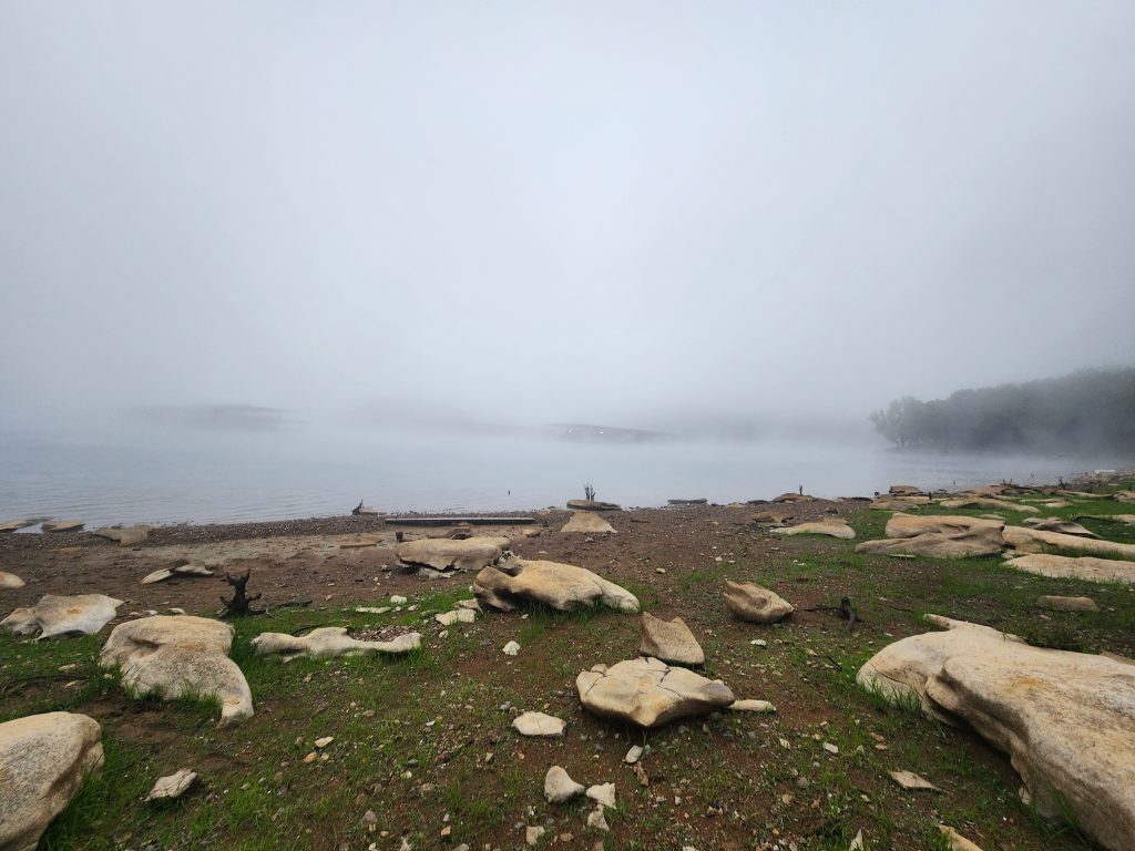
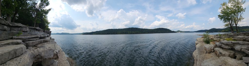
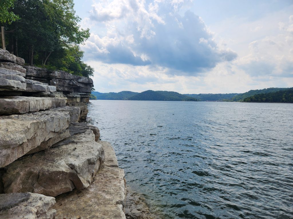
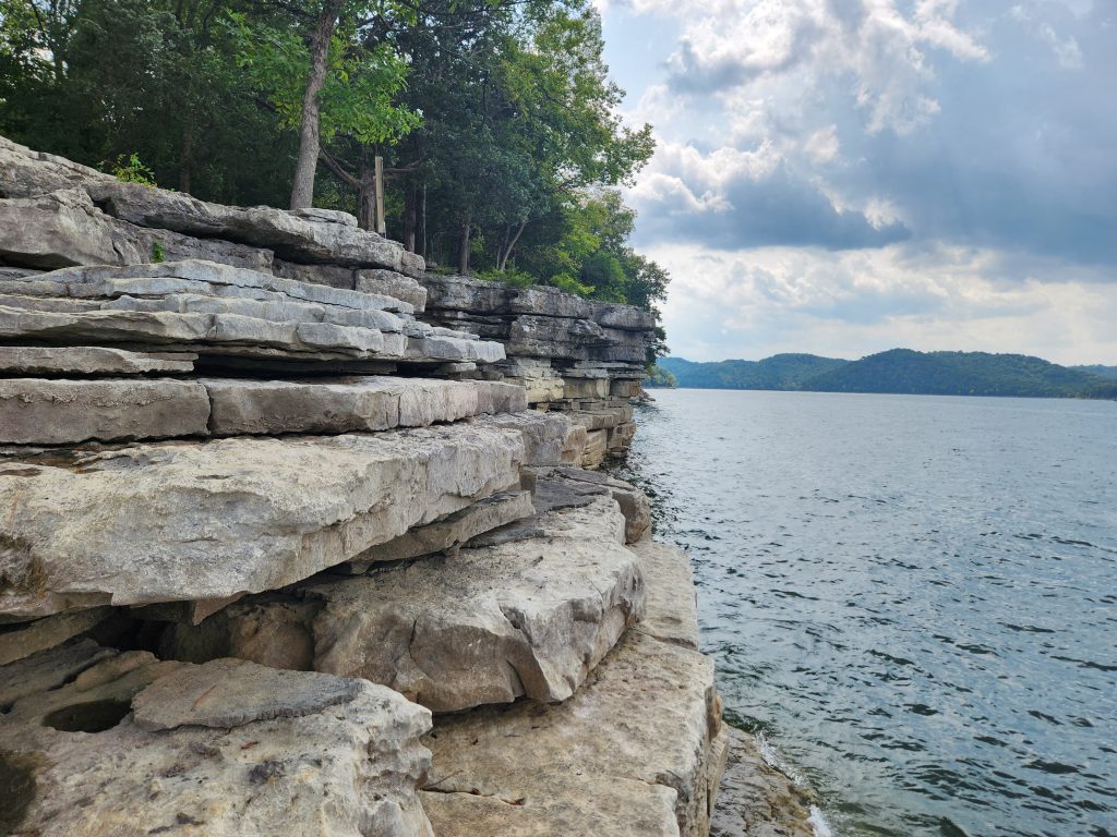
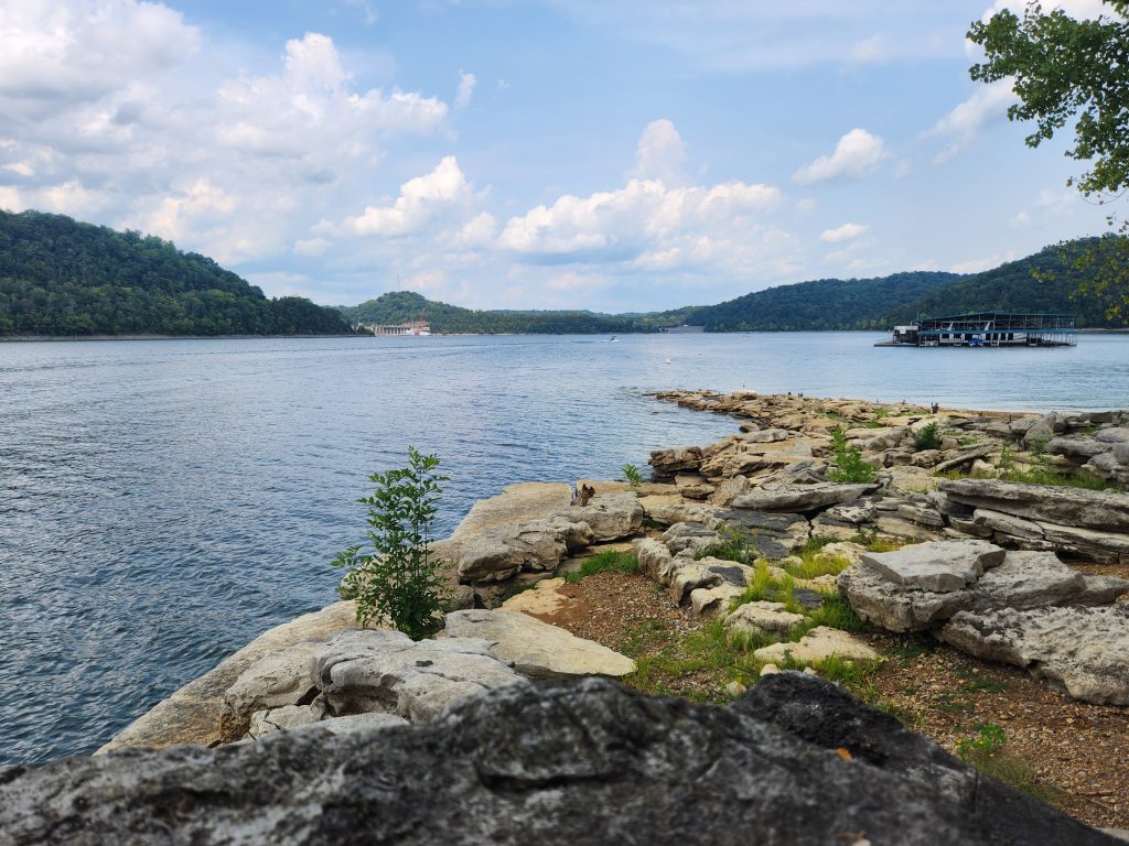
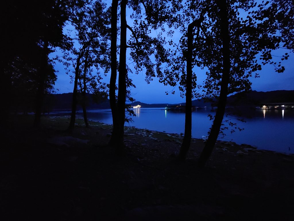
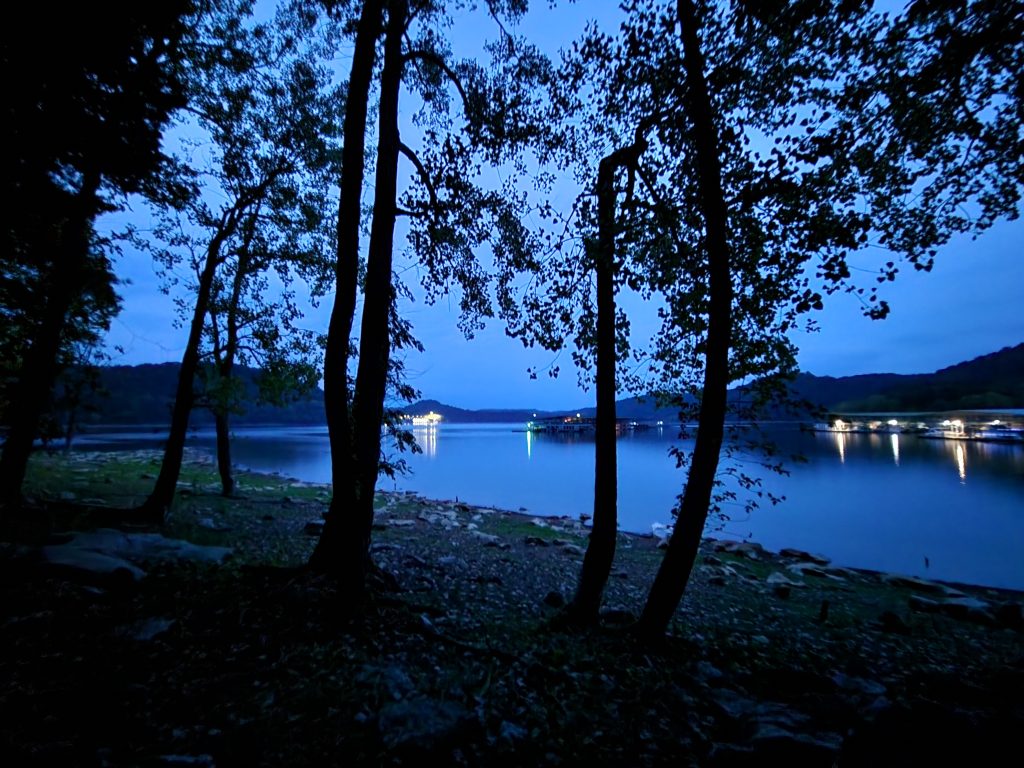
After I made myself some breakfast (oatmeal and crasins) I noticed while I was eating that the lake was EXTREMELY foggy! Felt like I was in the film “The Mist”. So I quickly ate my breakfast, packed most of my camp up, grabbed all my cameras and headed down to the water to see what kind of images I could grab. HOLY HELL, it was so calm and serine, not a single sound. LITERALLY, you could hear a pin drop. Course, it was around 6am, and I’m sure I annoyed someone while I was packing my camp up, but ya know what, that’s payback for keeping me up till 1am!!! This was a quick 30-60 minutes because I had several places to check out on my way home.
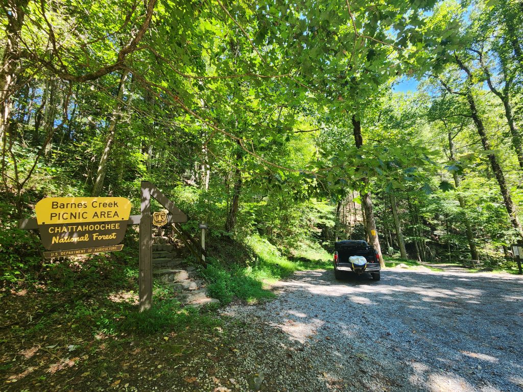
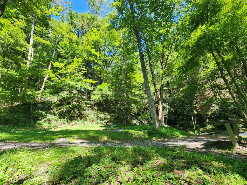
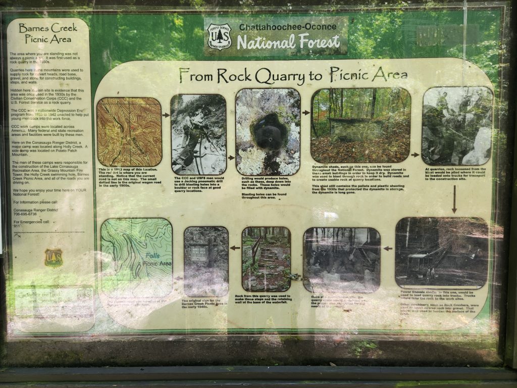
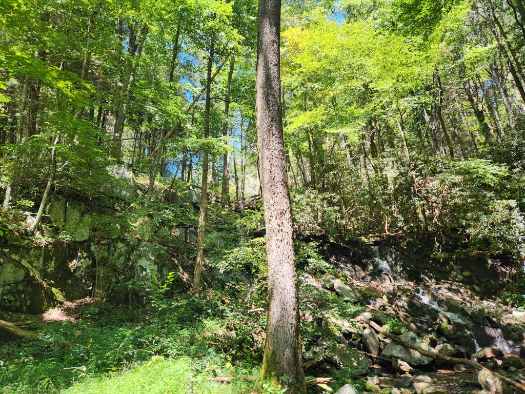
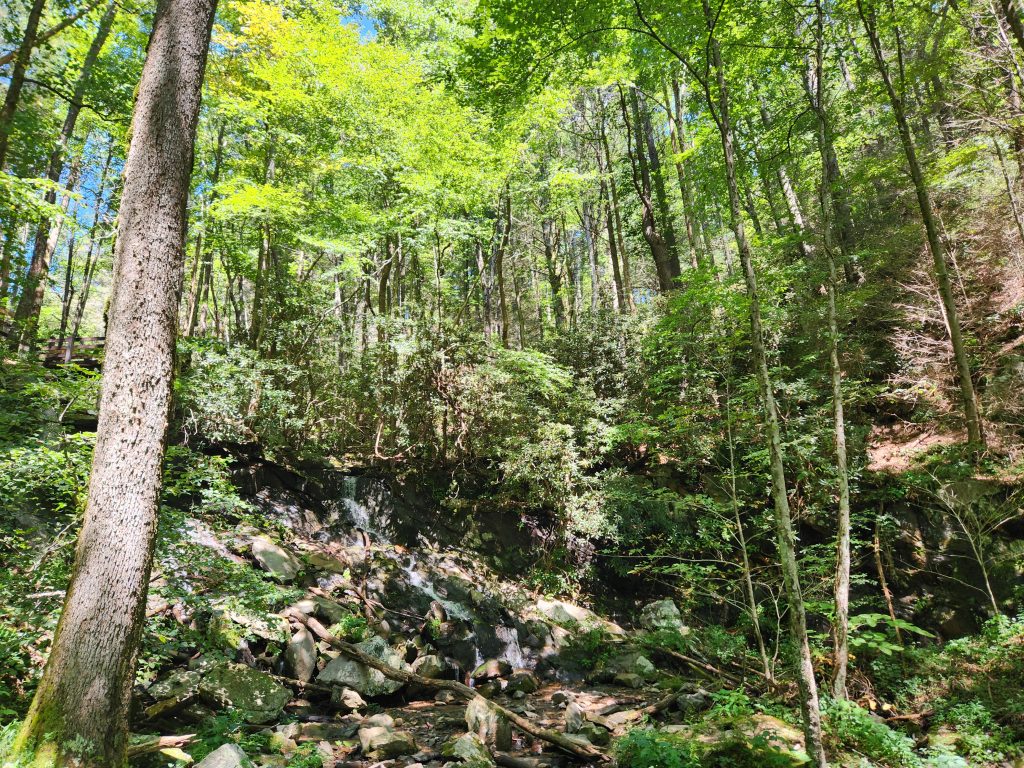
Location: Barnes Creek Falls
Address: None, it’s a F.S. Road! Use the coordinates.
Telephone: N/A
Lat/Long: 34.825979, -84.582195
Website: https://www.gawaterfalls.com/barnes-creek-falls.html
Date: September 7th 2025
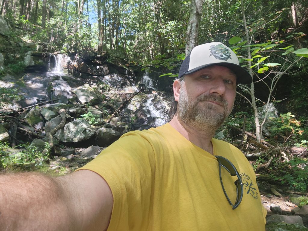
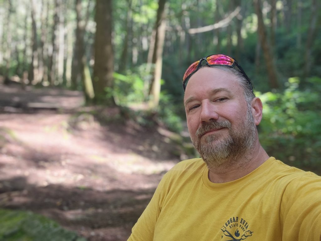
*Don’t mind my lack of smile, I’m in bliss here!
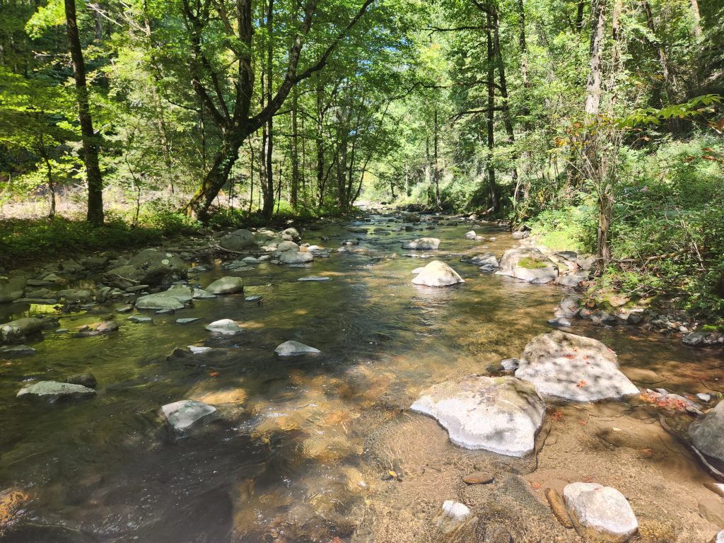
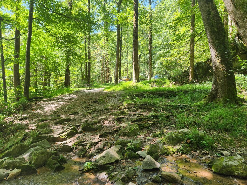
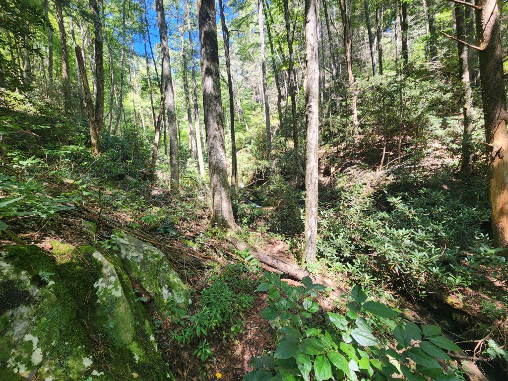
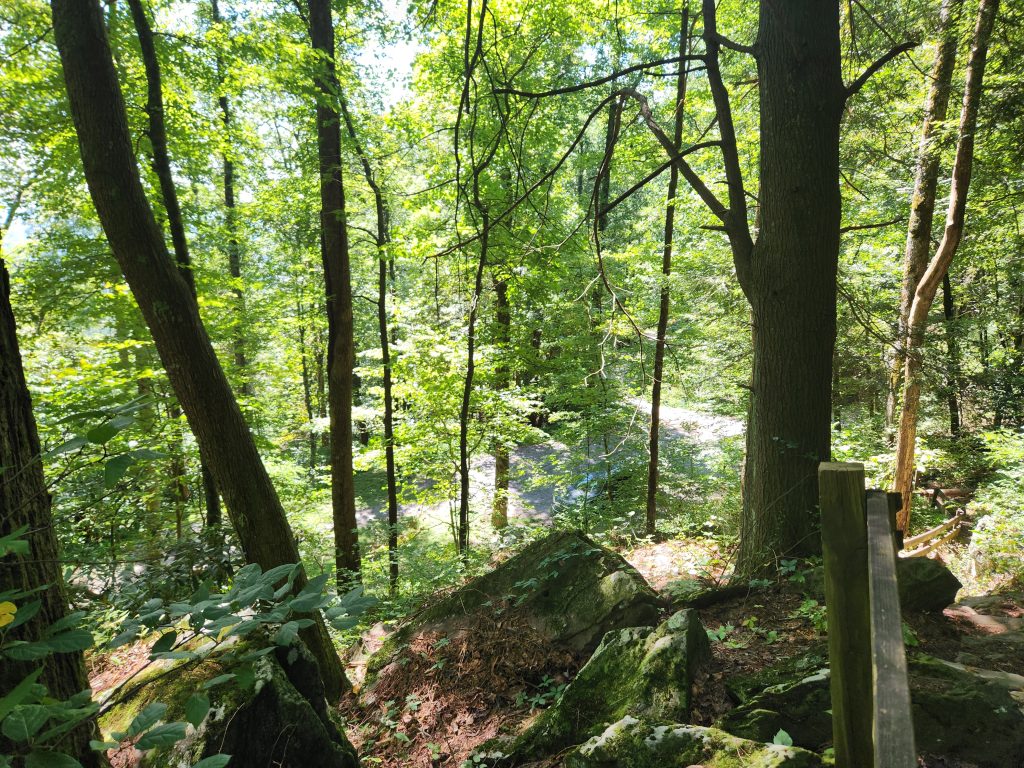
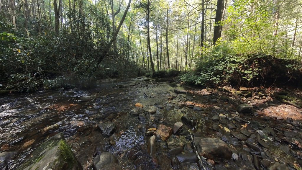
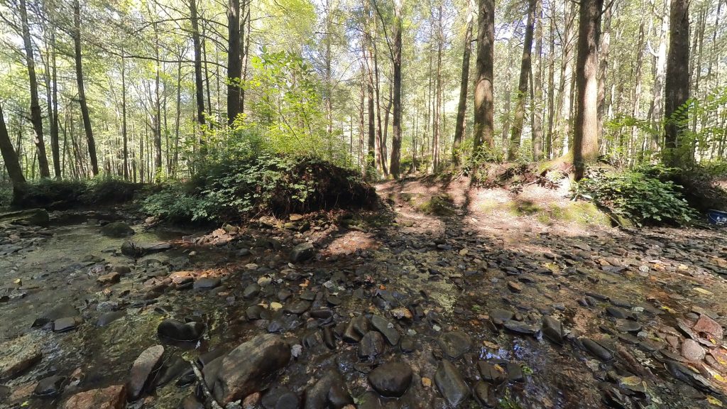
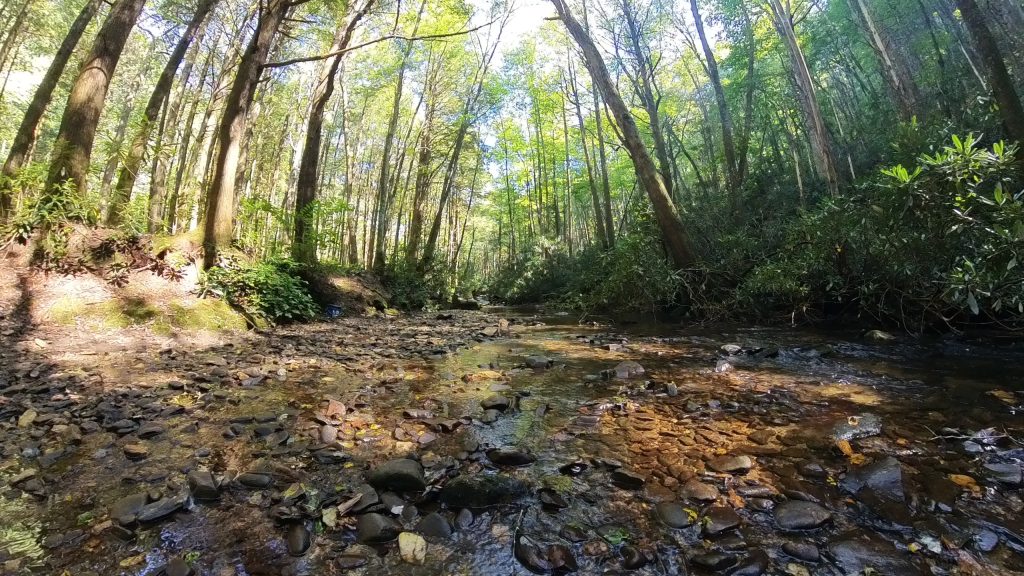
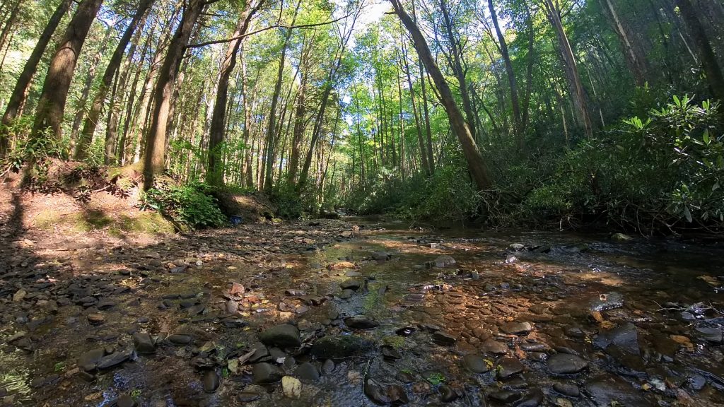
HO-LY-CRAP! I’m so glad I made this a pit-stop! It was sort of on my way to Tray Mountain (read further down) and I was on the fence about going, seeing as I was already running a bit late. This waterfall was AMAZING!!! It may be small, but any falls that I can set my camera(s) right in the middle of, is, in my opinion, a perfect waterfall! On the way up the F.S. Road this creek runs alongside for some ways, and I saw a couple of fly fishermen out in the creek.
Once I got to the waterfall, it was amazing!
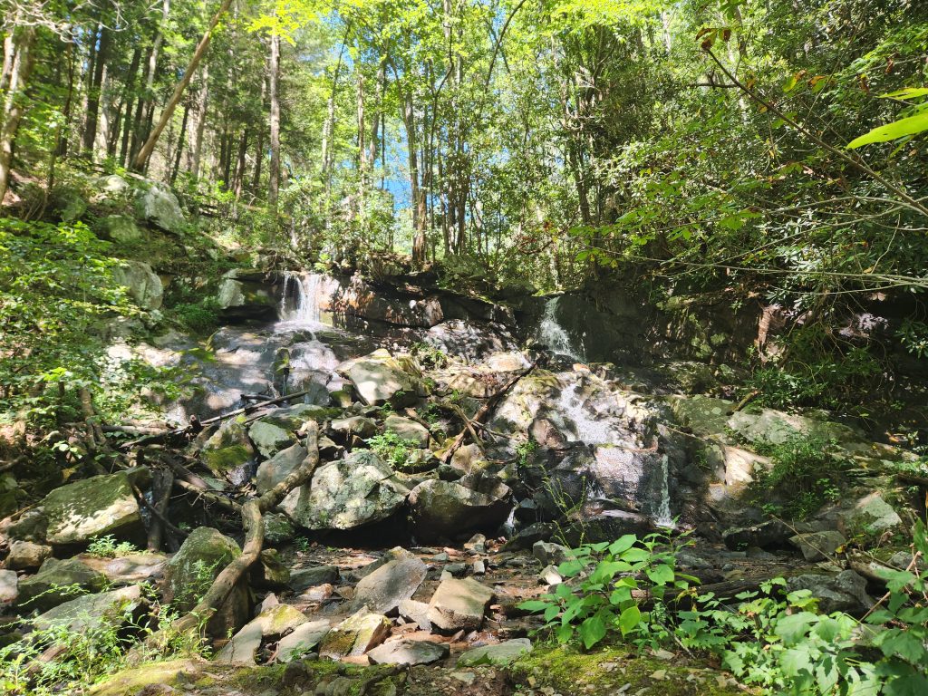
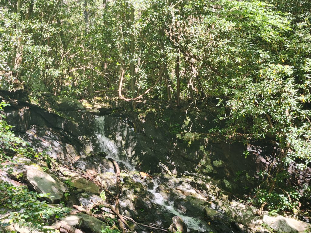
I managed to make one video of this fall, which was my sole intent for visiting. *Also located in my relaxation section. (Click the mute/unmute button for audio)
Location: Tray Mountain Wilderness
Address: None, it’s a F.S. Road! Use the coordinates.
Telephone: N/A
Lat/Long: 34.809066, -83.686124
Website: https://exploregeorgia.org/helen/outdoors-nature/hiking/tray-mountain-wilderness-area-cnf
Date: September 7th 2025
My entire purpose for making this trek is that I wanted to grab the exact location of a particular campsite that’s right on the mountain I’m currently working on completing. The Appalachian Trail on Tray Mountain from Unicoi to Dicks Creek Gap. And if you’re a serious camper, don’t shoot me, because I know people try to hide this camp site. I know, because I’ve been googling for the exact location ever since I got back from my section hike in 2024.
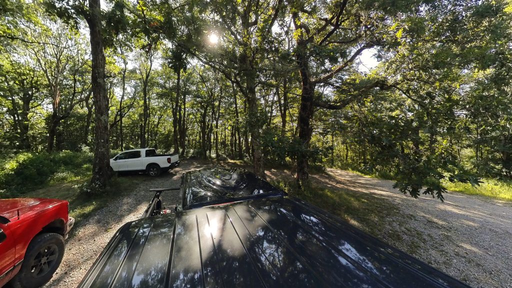
Along the way, I wanted to try and mark the coordinates of the other sites as well. They were smaller sites that could fit anywhere from 1 to 3 vehicles and not a lot of space for camping. Ignore the dropped points on the Garmin Explore screenshot below. Those are not of these sites! I accidentally left my Garmin GPSMAP in the bed of my truck and I guess all the bouncing around kept adding points! *It’s literally 1 button to add points and really annoying because I add them accidentally all the time. These sites are north of the Tray Mountain label on the map.
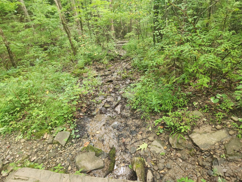
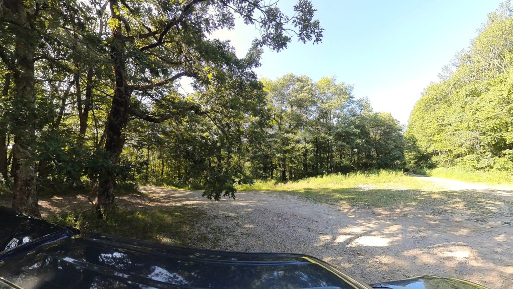
I knew what I was getting into, however what I failed to take into account was current road conditions. The path I had to take was an 8+ mile, side-of-the-mountain forest service road that’s barely large enough to fit a full-size truck most of the way. I did record the entire drive up and down the mountain, it was insane, and as soon as I get to that I’ll add some screen captures or a video or two from it.
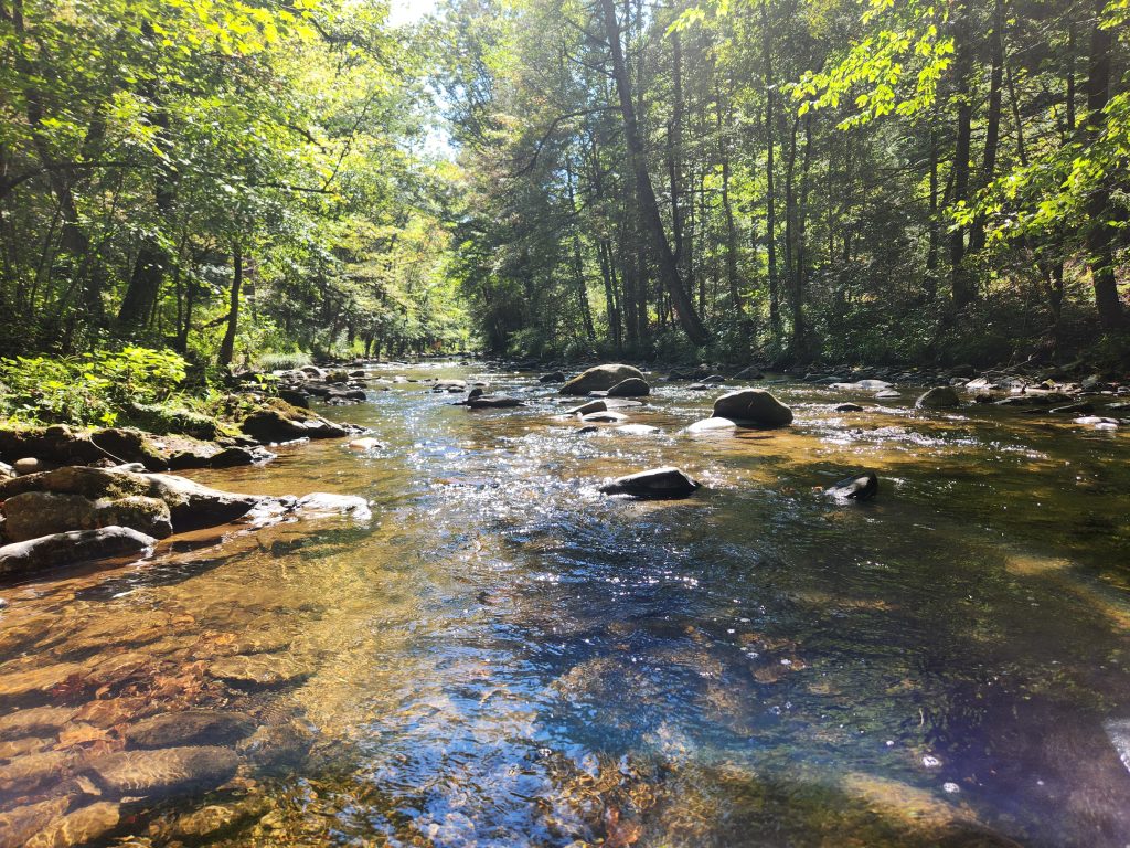
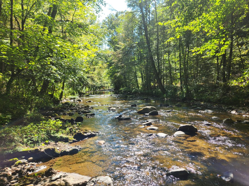
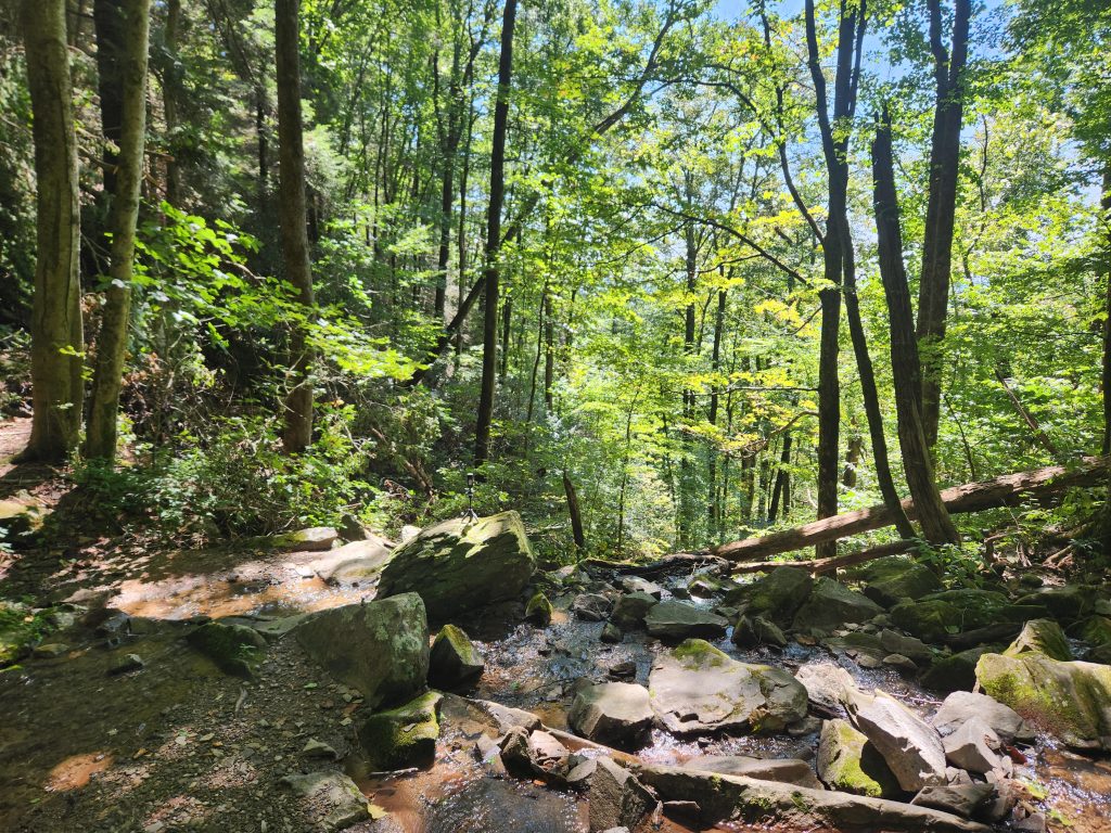
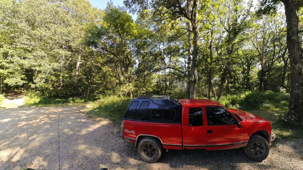
I left my GPS recording my route all the way from Barnes creek falls, dropping a point every 0.01 of a mile for accuracy, there were holes and divots in the Forest road the size of an adult tree trunk and rocks and boulders the size of a Galapagos turtle! I’m giving everyone fair warning, this path is not for the lighthearted! Most of the forest road was a 90° drop on one side and a 90° cliff face on the other. But once I got to the campsite, I was amazed at how big it actually is. There’s enough room there to park like 10-15 trucks! Not to mention (and I didn’t know this previously) Corbin creek (I believe that’s the name of this one, there’s so many) runs right next to the campsite! I have GOT to come back and camp here!!!
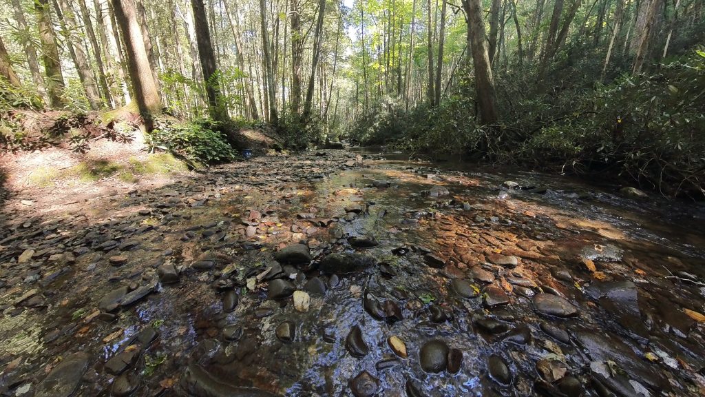
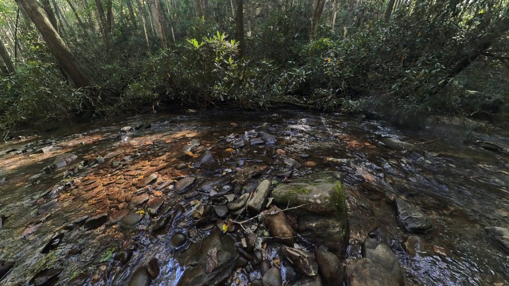
I managed to make one video of this creek. *It’s also located under my relaxation section for easier access. (Click the mute/unmute button for audio)
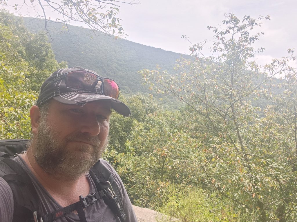
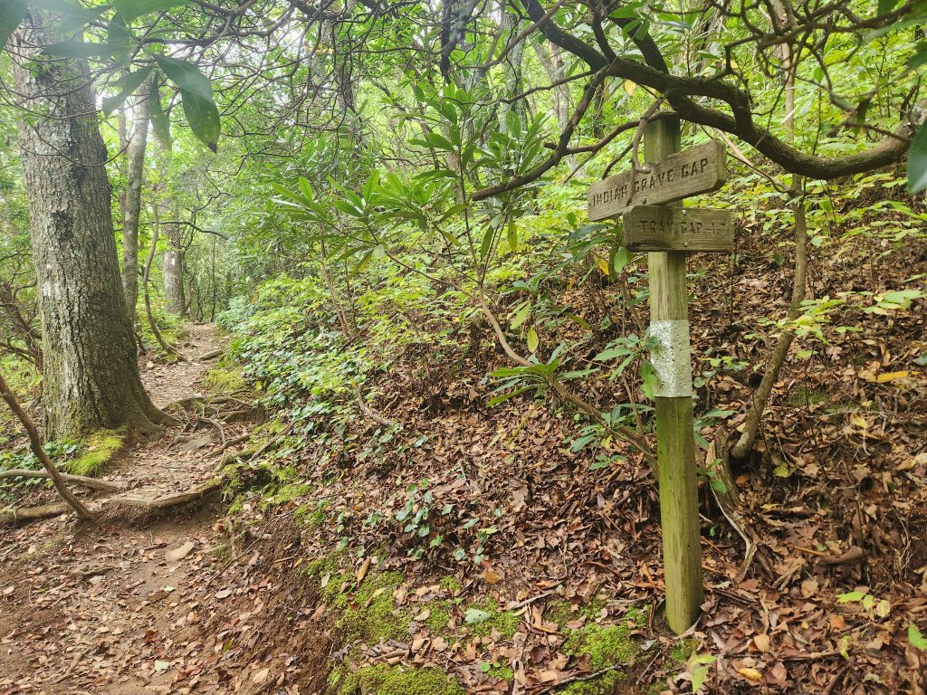
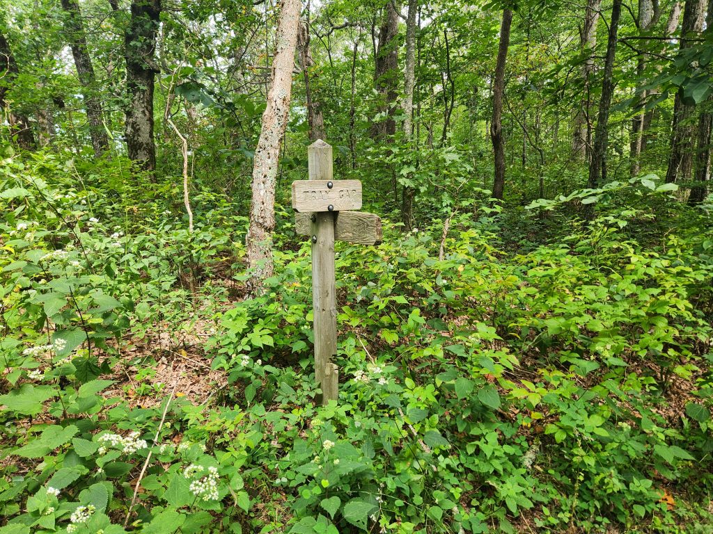
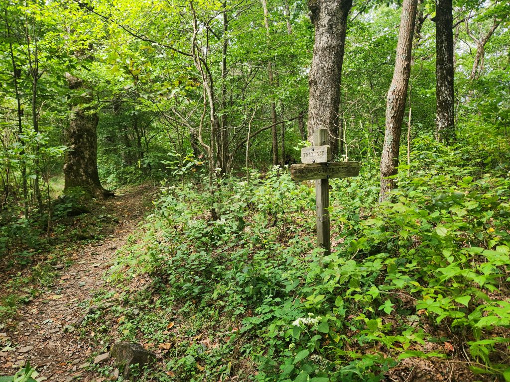
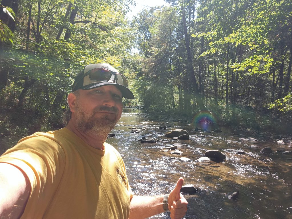
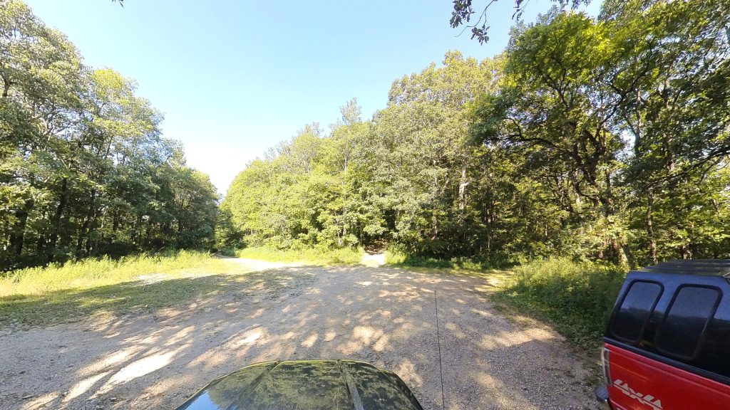
I did also make a quick pit stop at Tray Gap, this was the location Bandit, my GA trail guide came to rescue my injured ass! 🤣 I can’t thank him enough for being there when I needed him! Tray Mountain shelter (and an absolutely gorgeous view) are quite literally a short hour hike up the path through the trees on the right in the last image. I would have went back up there to take a few more pics but eh, I already have those! My main background image is from that lookout, you’ll see the rest of em when I get to posting my section from last year!
After completing my tasks and feeling very accomplished, I started heading home. It was gonna be a long 6 hour drive. I wound up pulling in my driveway at 12:15 am Monday morning.
Happy Camping!
See you on the trail!
~T.B. Pug
Edgar Evins State Park Campgrounds (Day #2)
Address: 1630 Edgar Evins State Park Rd, Silver Point, TN 38582
Telephone: (888) 867-2757
Lat/Long: 36.082730, -85.832353
Website: https://tnstateparks.com/parks/edgar-evins
Date: September 6th 2025
Media: *Located within and at the bottom of each post
Hardware used for media: GoPro 10, Insta360 X3, Galaxy S21
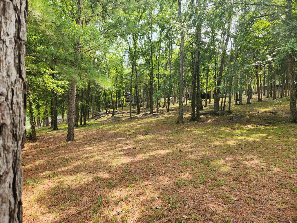
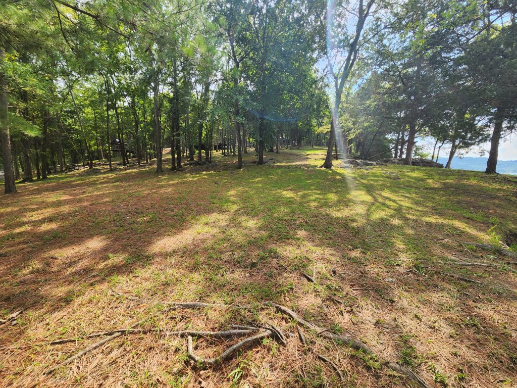
What an interesting evening that was… and unfortunately this will be a short post since I was rained out for most of the day. The park has a quiet time from 11pm to 6am. I heard kids and dogs well into the 1am hour. 🙄 Aside from that it was a restful sleep. Unfortunately, the rain persisted. I was already on-the-fence about taking my hike on the Clayborn Millennium and Merritt Ridge Trailhead due to the amount of people at this location, but since it was quite literally pouring for most of the morning, my hike was cancelled indefinitely. I might go back and try this hike on a weekday, considering my last spot in GA was empty on Thursday! It may look bright in these images, but I believe that has to do with my idiocy in not knowing how to change my camera settings. Maybe my daughter can help me with that since she’s into photography. 🧡
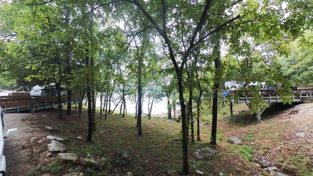
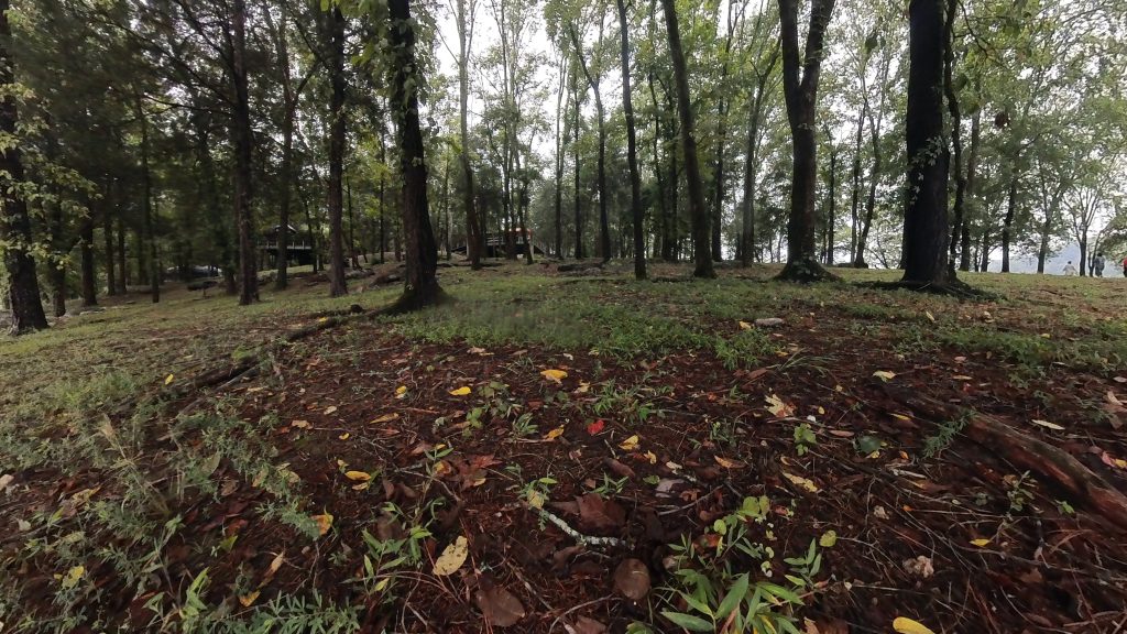
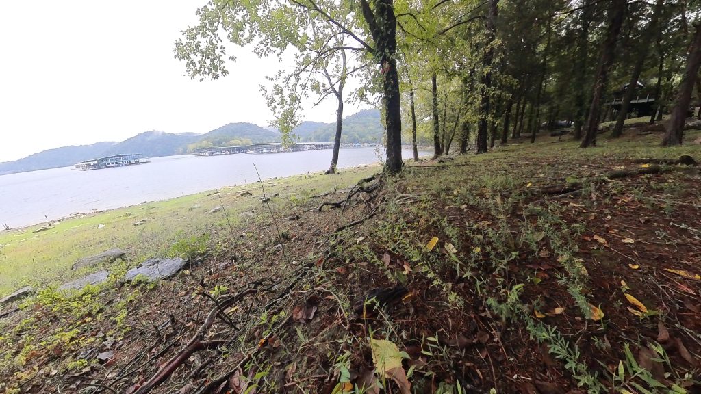
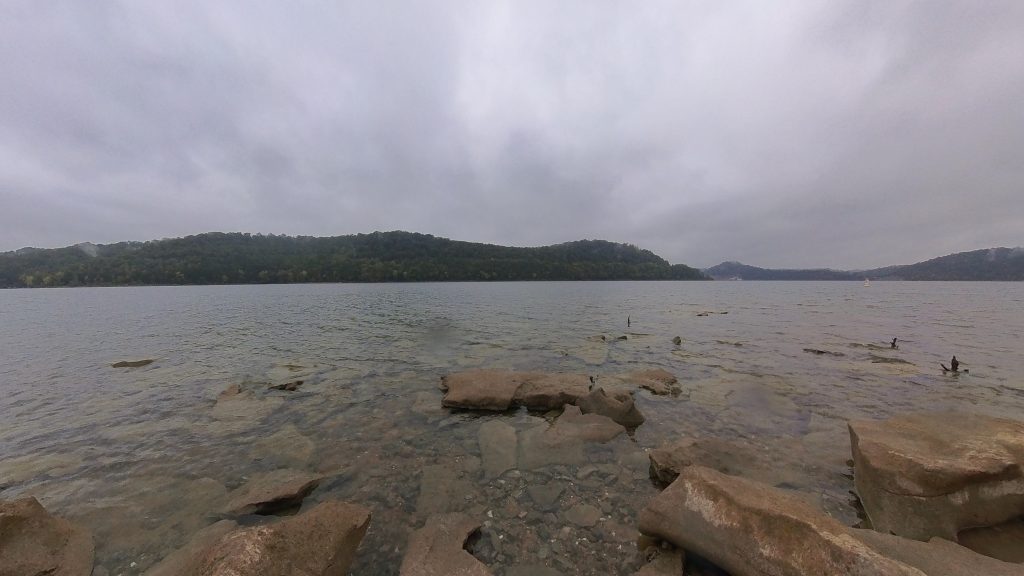
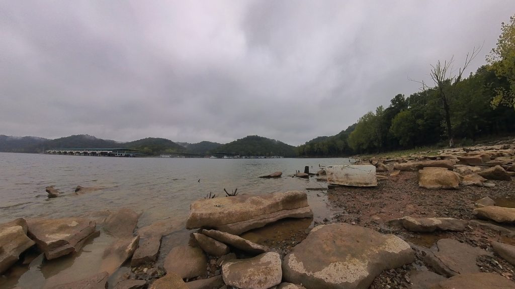
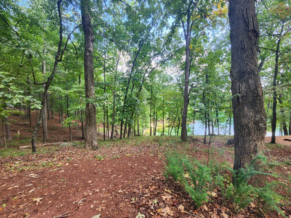
After the rain subsided I decided to take a stroll around the campgrounds and the waterline. The view was amazing. And being far away from the campgrounds, the wind drowned out the noise. It was extremely overcast so the images didn’t quite come out as pretty as I’d hoped, being there was a different story entirely. The view, the breeze, the nice chill 72 degrees temp… Just perfect!
After about 3 or so hours, the drizzling started picking back up, so I headed back to camp and rode it out while working on what images, video and GPS routes I had already taken. It turns out I need more storage on my phone. Lol I did bring my laptop, so I ran to my truck and grabbed that to work on. The rain kept up till the evening but luckily it was light rain.
In its entirety, the park is beautiful. The restroom was ok, but it wasn’t as clean and nice as Red Top Mountains’. I would also strongly suggest staying during the week, since this appears to be an extremely family-orientated campgrounds on weekends.
Happy Camping!
See you on the trail!
~T.B. Pug
Edgar Evins State Park Campgrounds (Day #1)
Edgar Evins State Park Campgrounds (Day #1)
Address: 1630 Edgar Evins State Park Rd, Silver Point, TN 38582
Telephone: (888) 867-2757
Lat/Long: 36.082730, -85.832353
Website: https://tnstateparks.com/parks/edgar-evins
Date: September 5th 2025
Media: *Located within and at the bottom of each post
Hardware used for media: GoPro 10, Insta360 X3, Galaxy S21
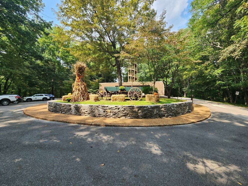
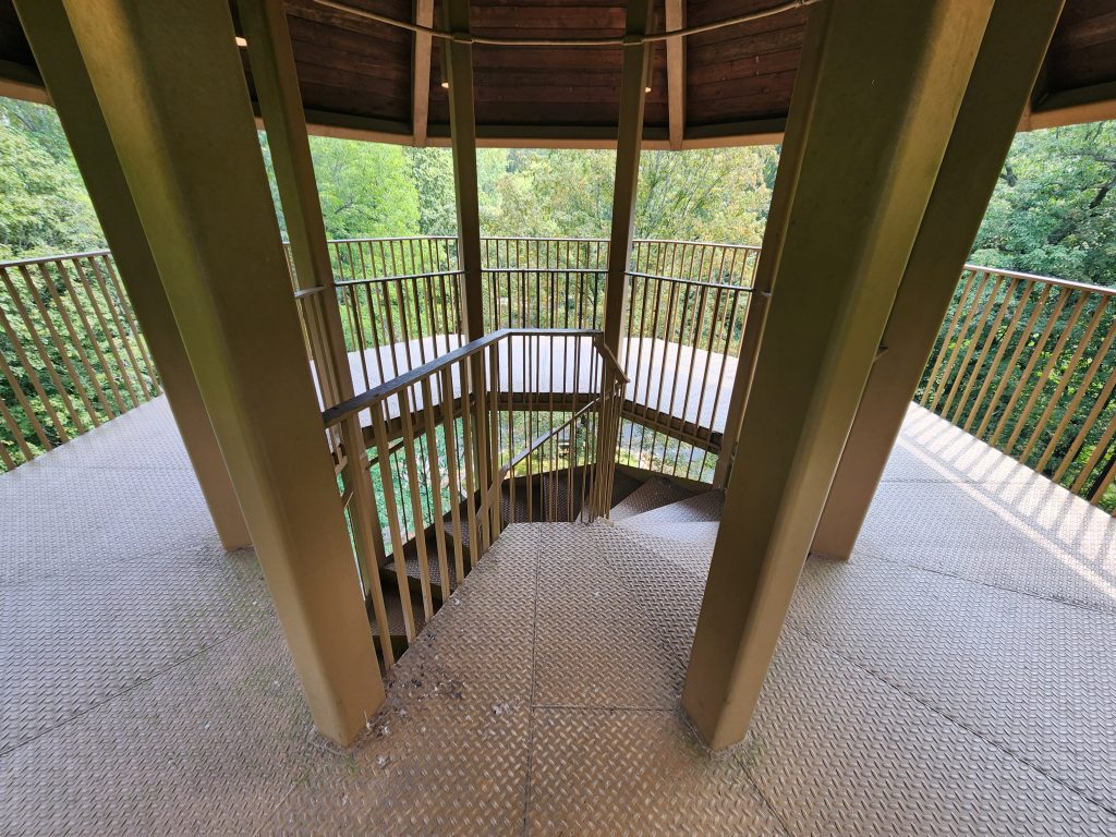
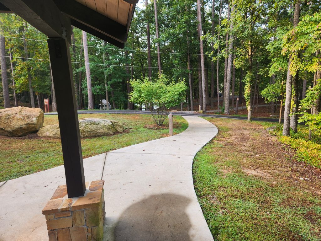
I arrived at Edgar Evins State Park Campgrounds around 11am on Friday, check-in time is noon. I decided to see if I could climb up this massive Fire Tower to see if I could get a better look at the area. Apparently, the only time to view the area is in winter, when there’s no leaves on the trees. 🤣
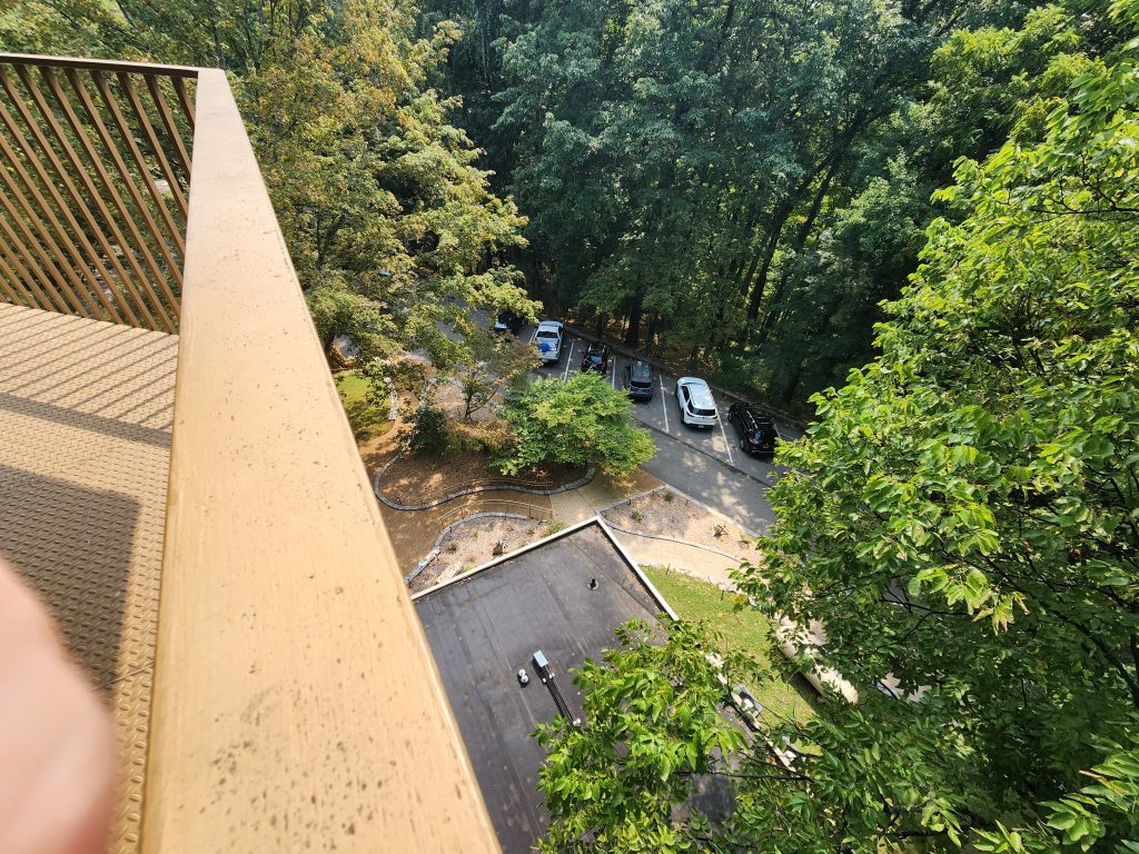
After I got checked in (and grabbed all my merch… lol) I rode over to my camp-site, #44. I was somewhat disappointed to see hundreds of kids and families taking over the entire campgrounds as I passed by them. Seems like there was an entire group that registered for like 20 camp sites with like 2-4 families per camp site all right next to one another because they were all friendly and playing games together.
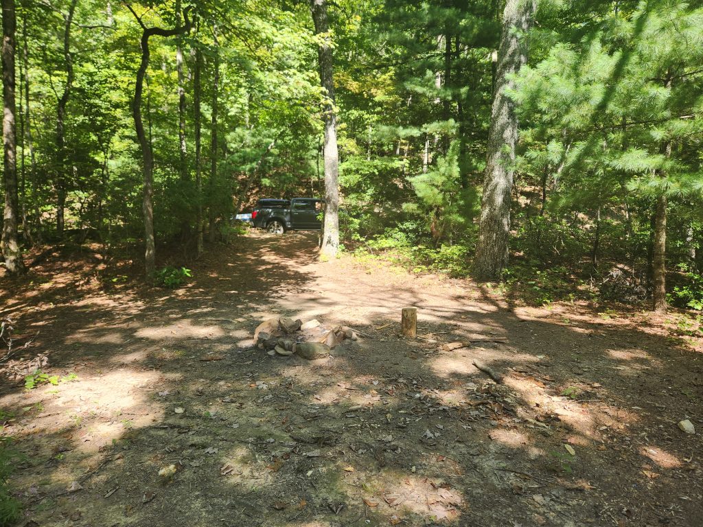
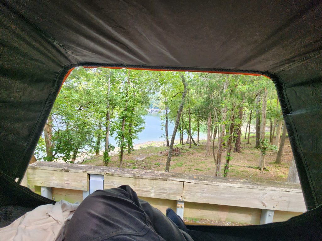
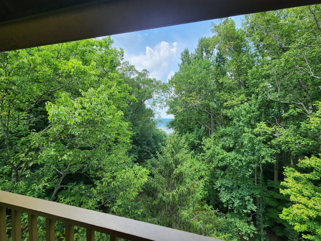
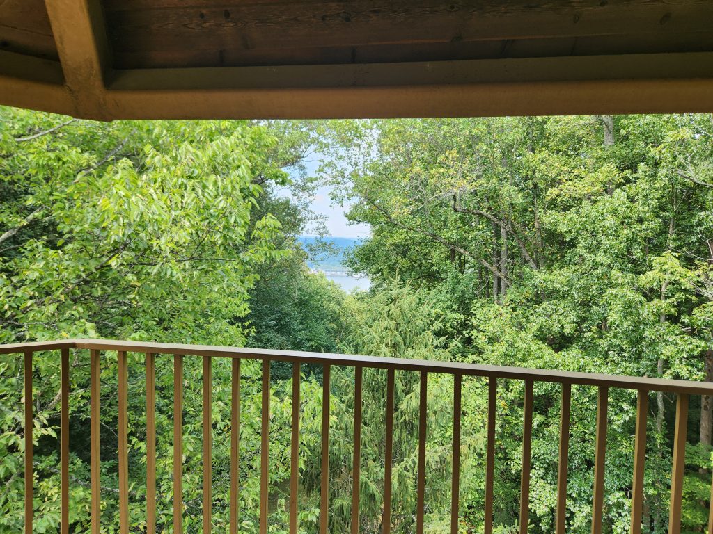
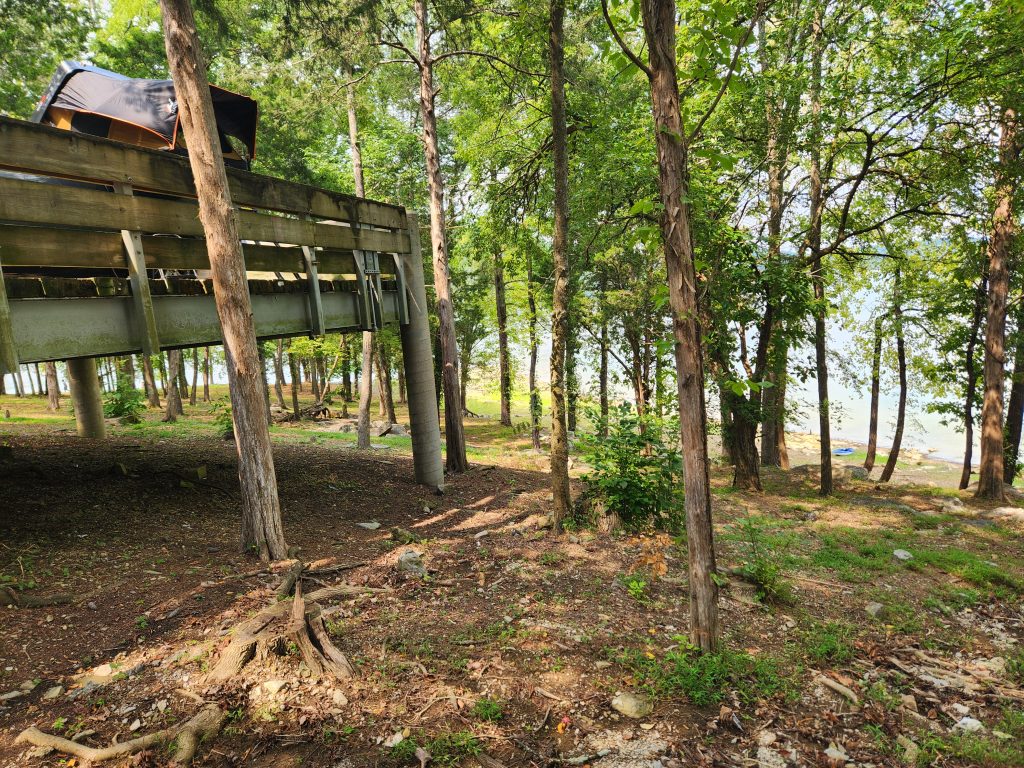
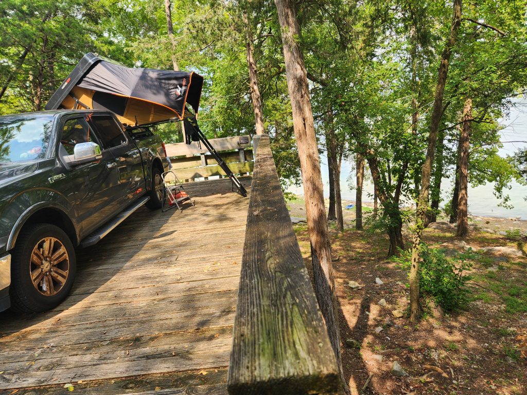
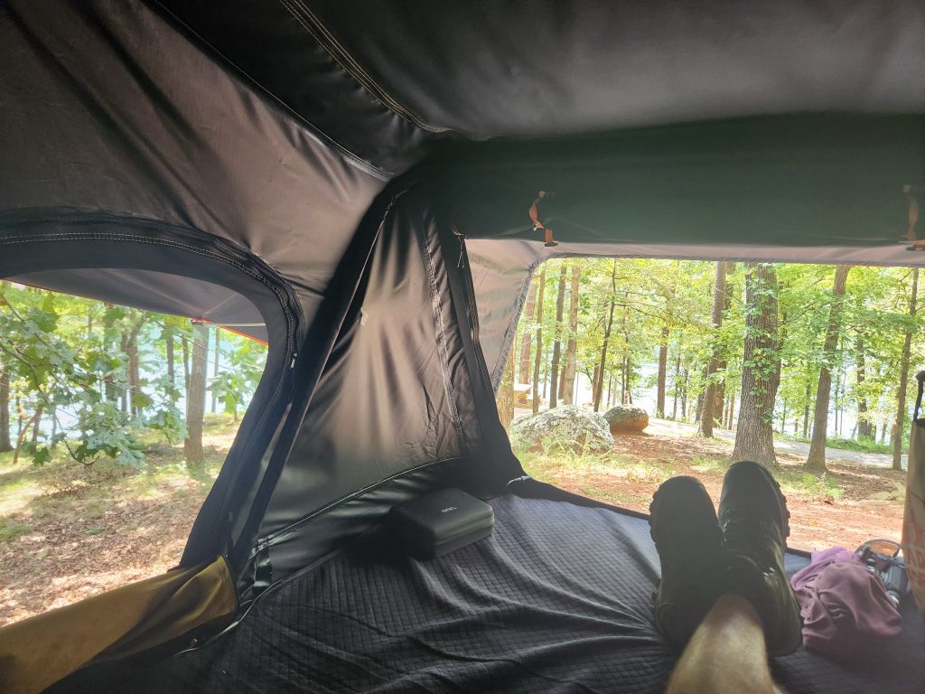
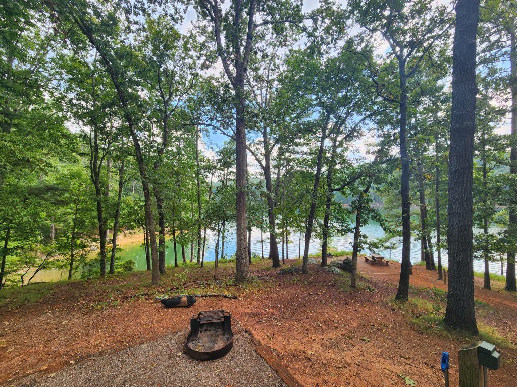
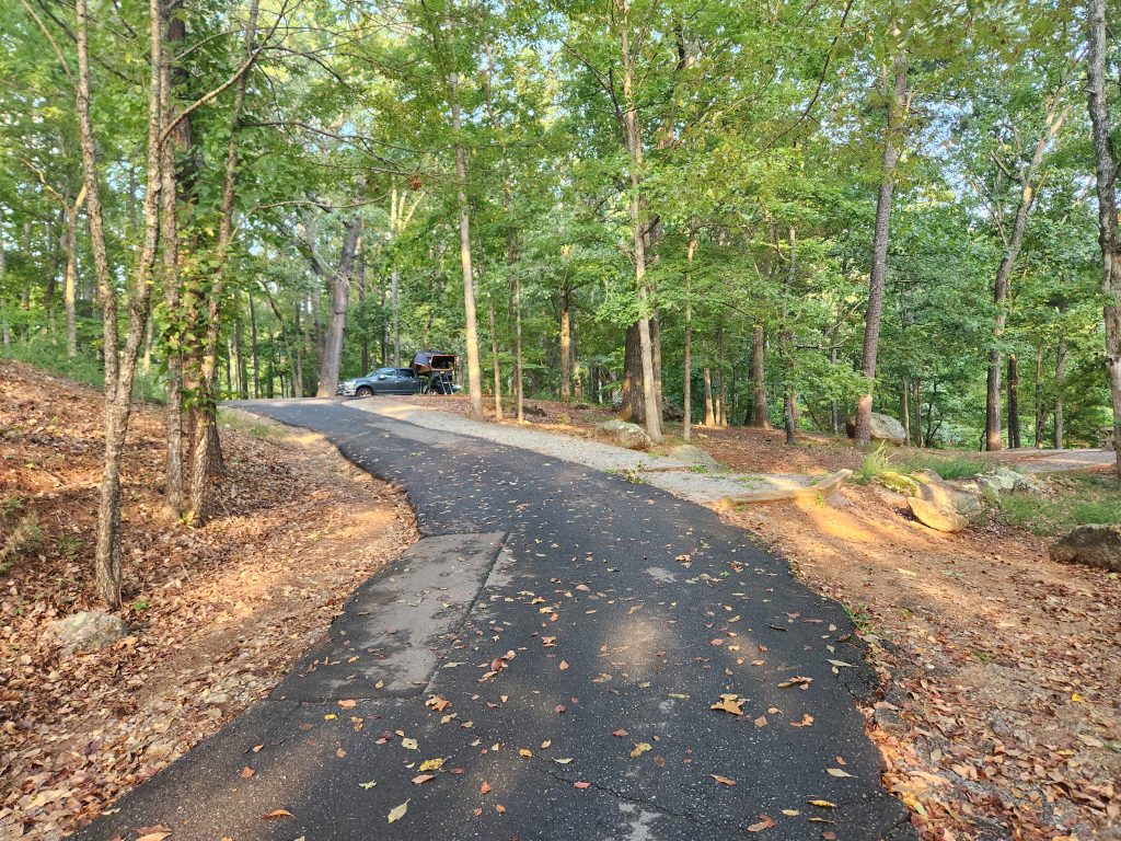
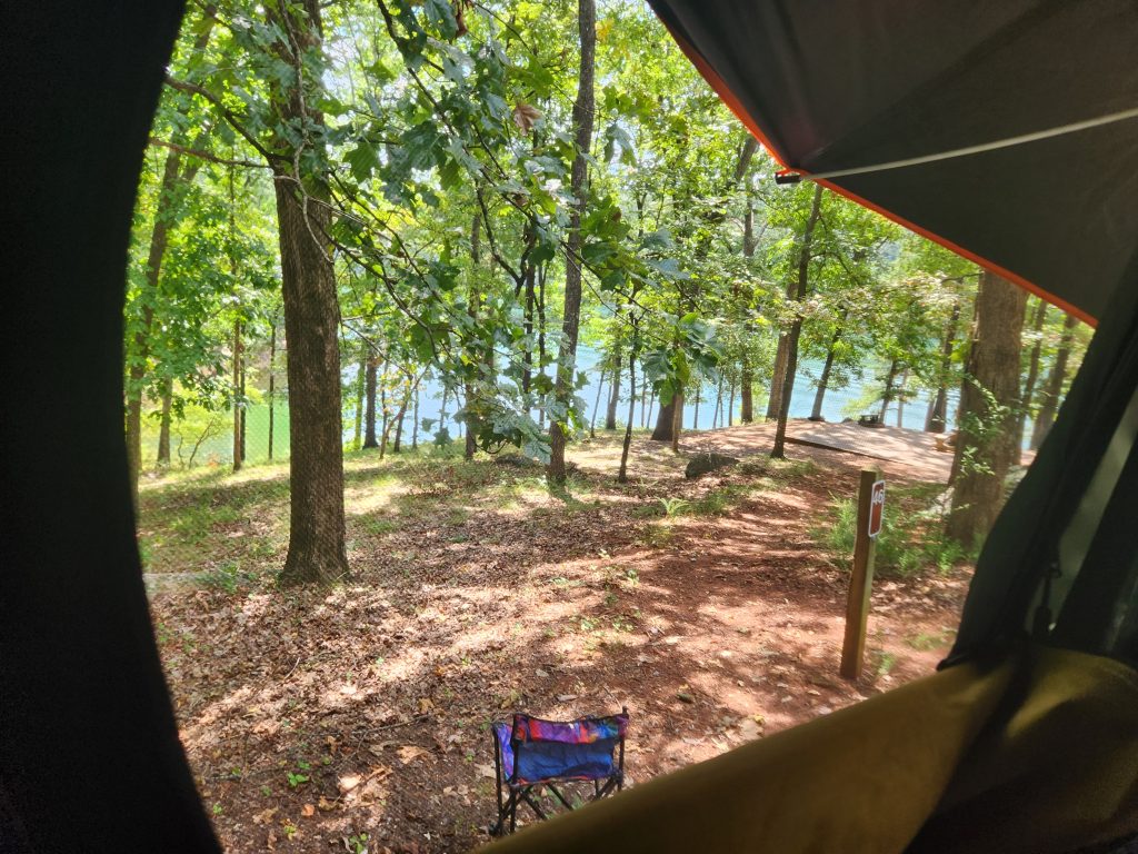
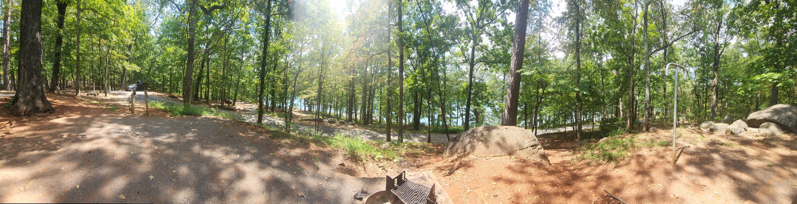
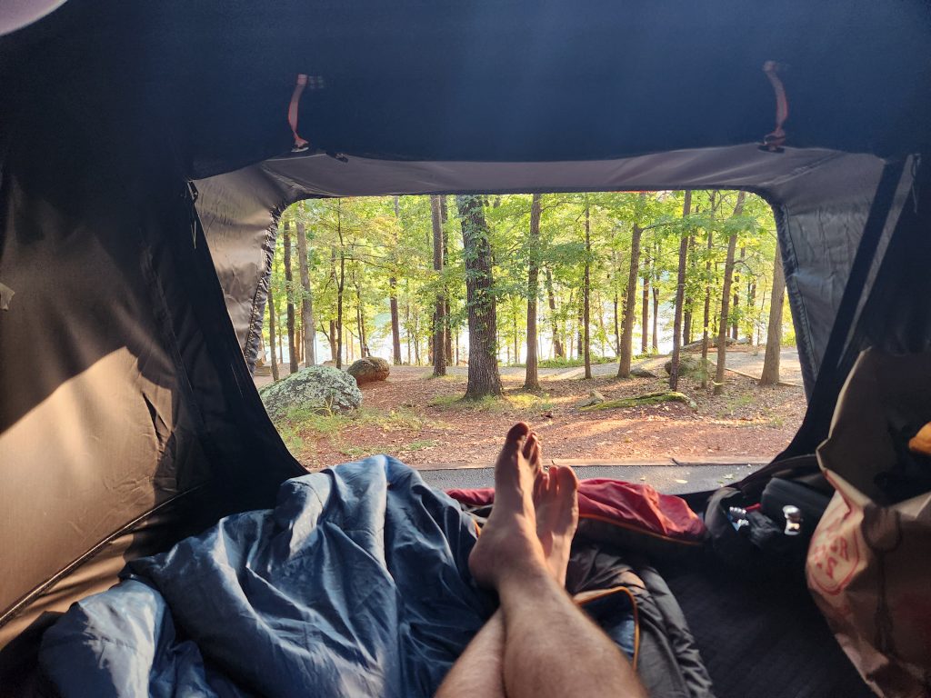
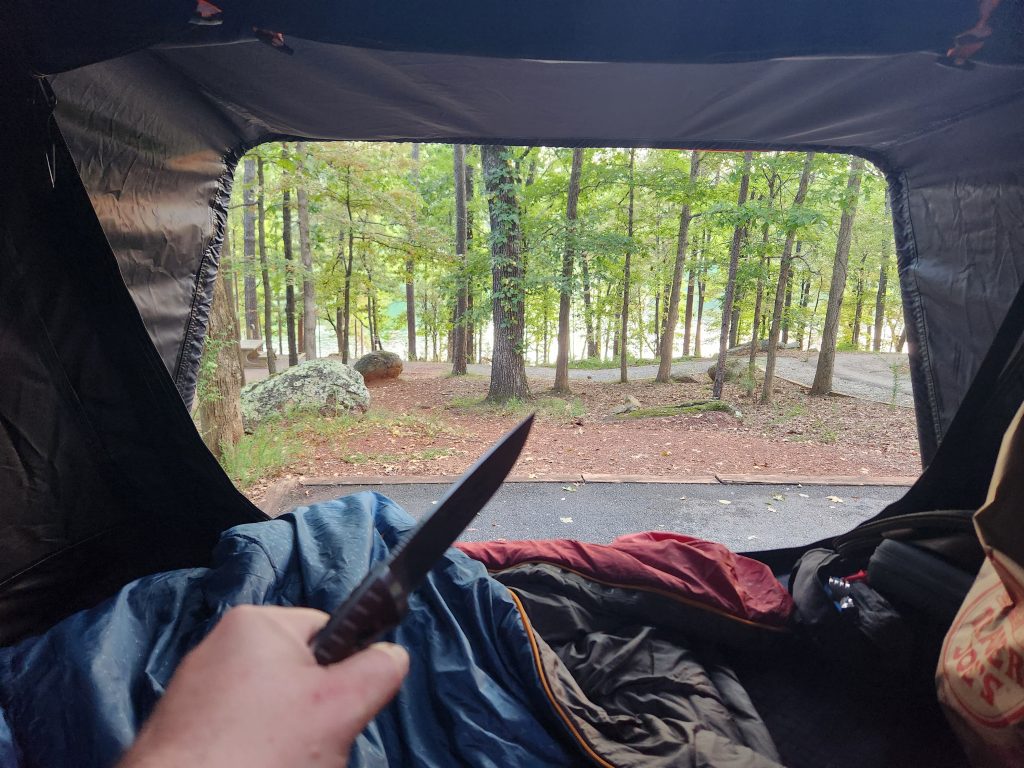
I got to my campsite, and it was a beautiful overlook view from the tent once I got my campsite setup. The spots in the area I was in seem to be dual purpose. You could essentially park 2 cars on the deck, but I probably wouldn’t attempt it. There is electric and water connections, but I’m no expert on those since I power my tent with a 2nd battery. If you come with an RV, you may need adapters to connect. The fire pit is located just to the right or left of the deck, right next to the road, depending on which site you get.
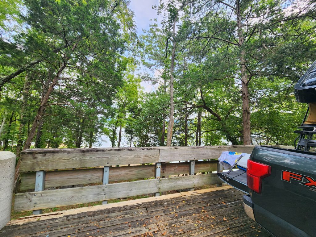
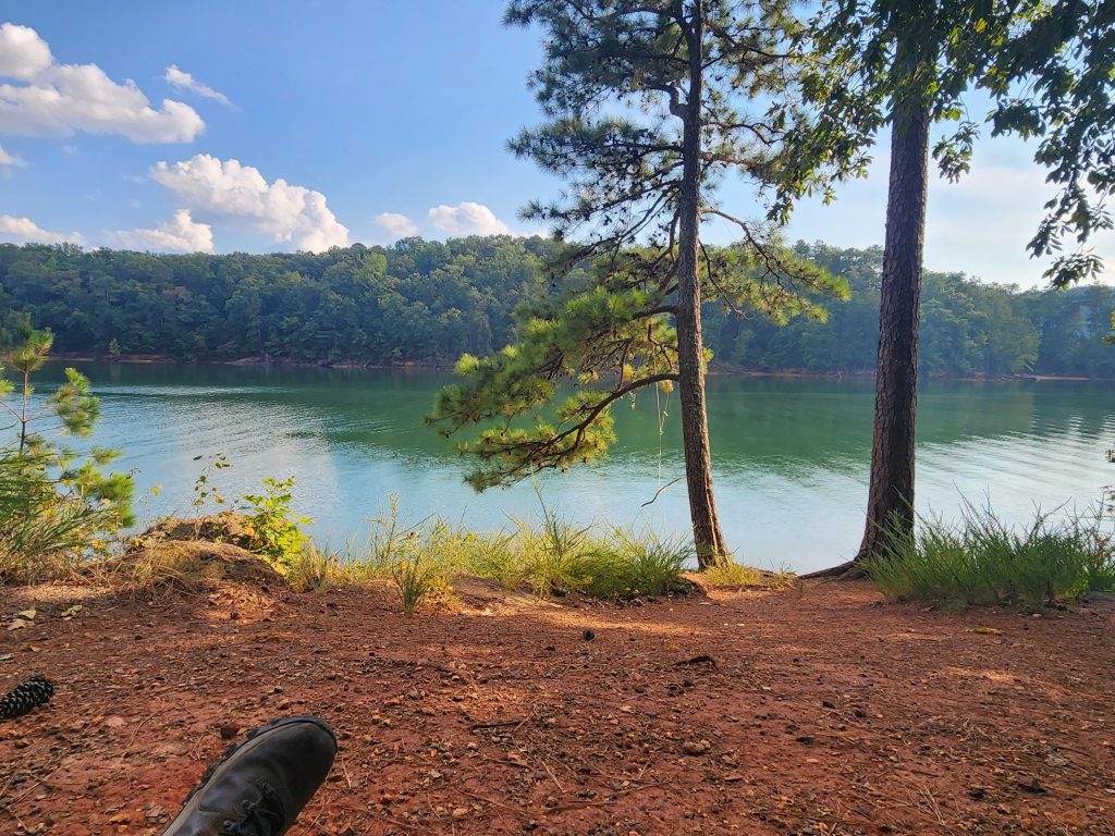
Once settled, I took a stroll down to the lake to take in the beauty of the area. Unfortunately, my “peacefulness” was obliterated by a ton of kids yelling, screaming and playing as well as dogs barking nonstop. But I digress, I was there for myself, and for nature. The waterline and lake with the mountains in the background were insanely beautiful. I almost forgot about the screaming kids… almost. lol
Since I was expecting to hike the Clayborn Millennium & Merrit Ridge Trail on Saturday, I decided to try to get some kayak time in before it got dark. The hill behind my camp spot was steep, so I’m glad I brought my Pelican and not the Hobie. The Hobie does have wheels, but even with wheels, that is a steep grade to try to roll a 60-80 lb kayak down! The lake was great, it would have been much better without boat wakes. But that’s asking a bit much. The scenery however was stunning! Unfortunately, I’m not gonna upload that entire video to this site, it’s 13GB! Maybe I’ll try and make YouTube host it since they don’t give a crap about storage. 🤣
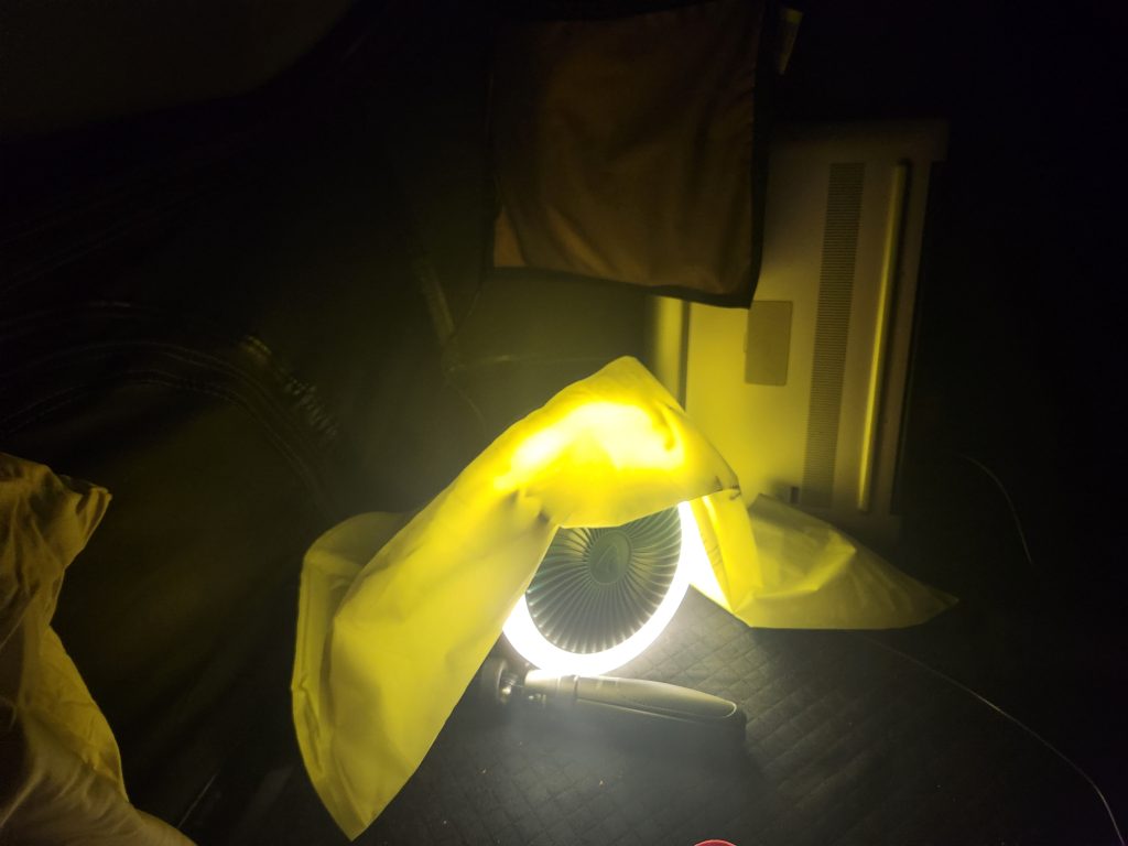
After I got back from my hour yak tour of the lake, I went ahead and made some dinner and chilled in the tent while listening to all the commotion outside I got my cameras ready since I was waiting for sunset to try my hand at a 360 time lapse video of the night sky. Unfortunately, that cold front was moving in slower than expected but I did get a few images and about 30 seconds of time lapse video. (*This is also in the Time Lapse section on my site)
I did try to get some videos of the stormfront moving in over the lake because it was beautiful. But for some reason I can’t figure out how to make my Insta360 shoot in night mode. The only thing you can make out in the video, and very faintly I might add, are the lightning flashes. Oh well, maybe someone can help me change the cameras settings correctly. 😊
While the view and raindrops were a relaxing escape, I could still hear the kids and dogs. So I turned on some tunes and crashed for the evening to the sound of raindrops and Pandora radio.
Happy Camping!
See you on the trail!
~T.B. Pug
Red Top Mountain State Park Campgrounds
Address: 50 Lodge Road SE Acworth, GA 30102
Telephone: (800) 864-7275
Lat/Long: 34.140036, -84.711783
Website: https://gastateparks.org/RedTopMountain
Date: September 4th 2025
Media: *Located within and at the bottom of each post
Media Resources: GoPro Hero 10, Insta360 X3, Samsung Galaxy S21
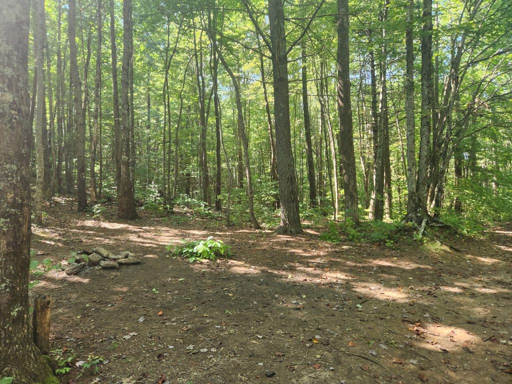
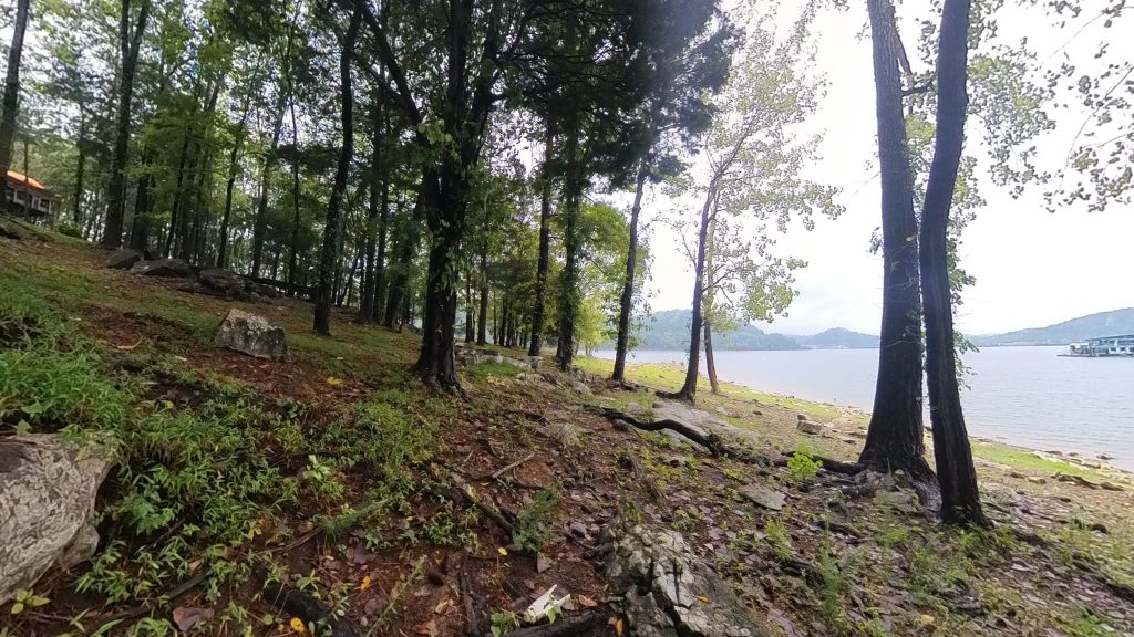
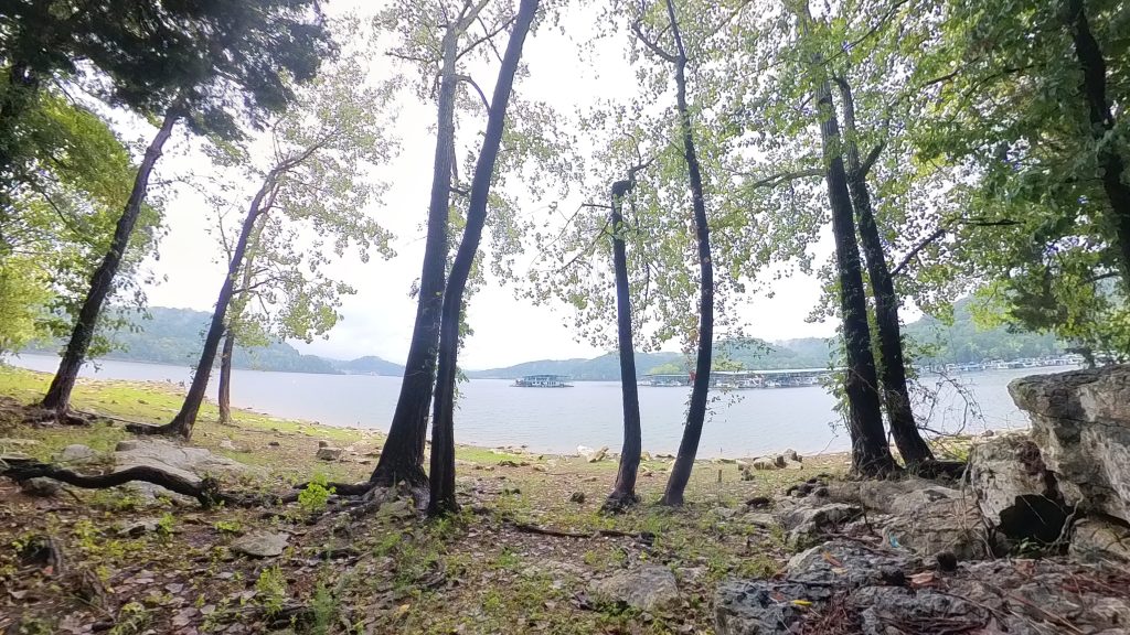
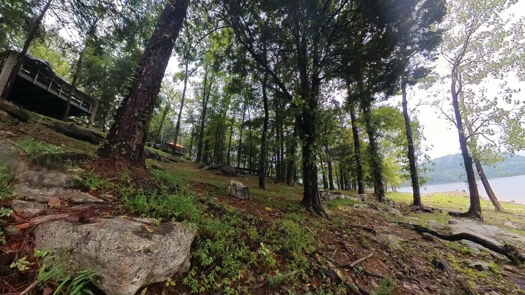
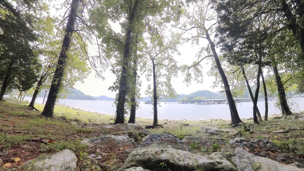
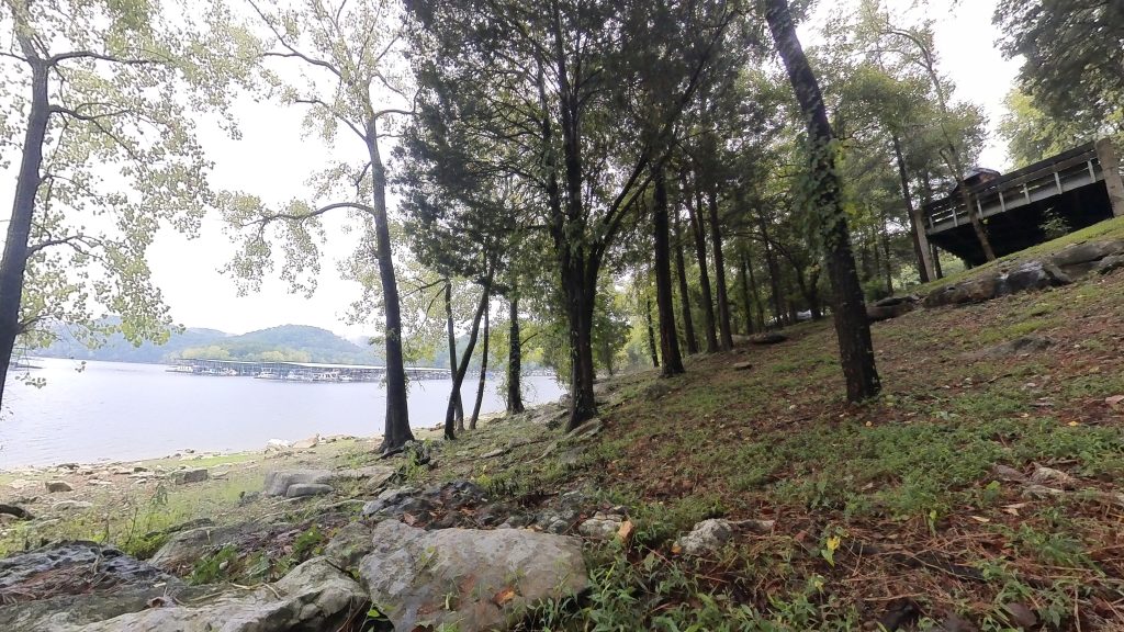
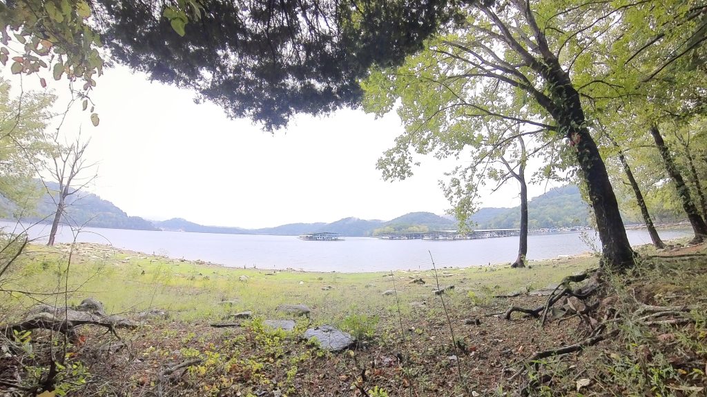
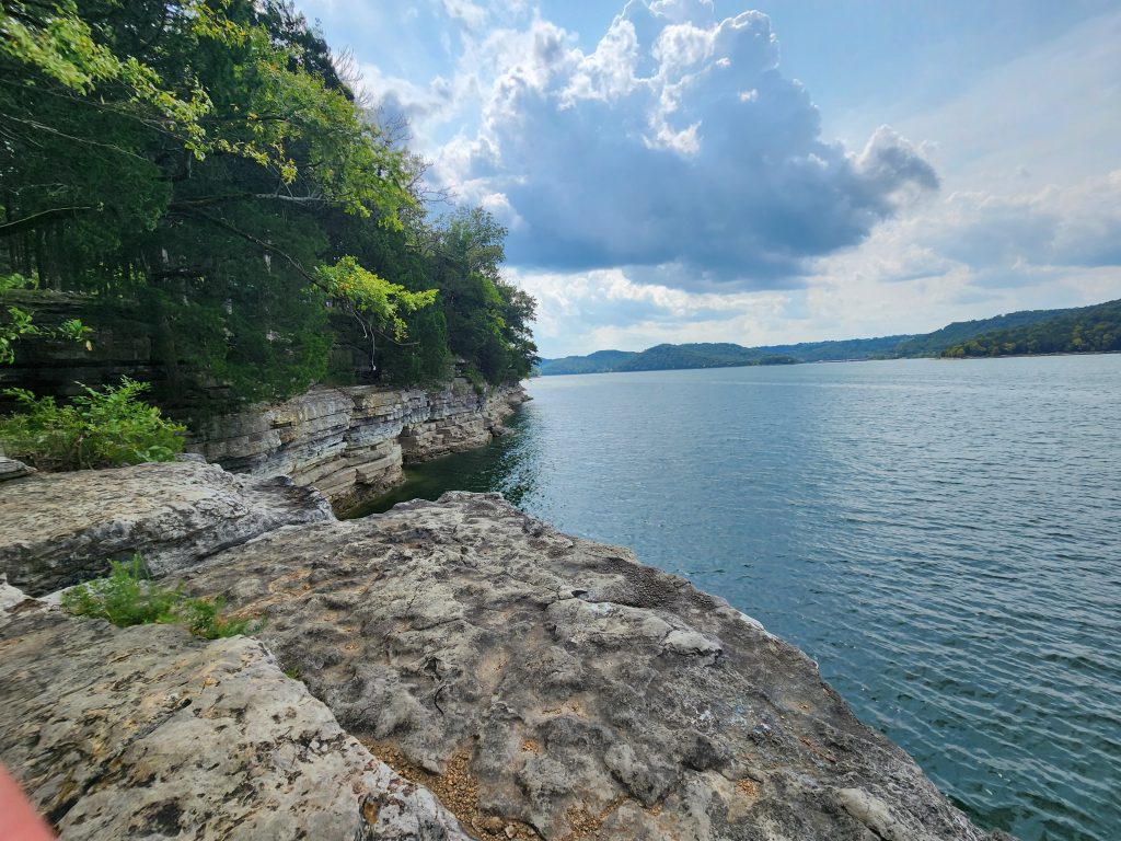
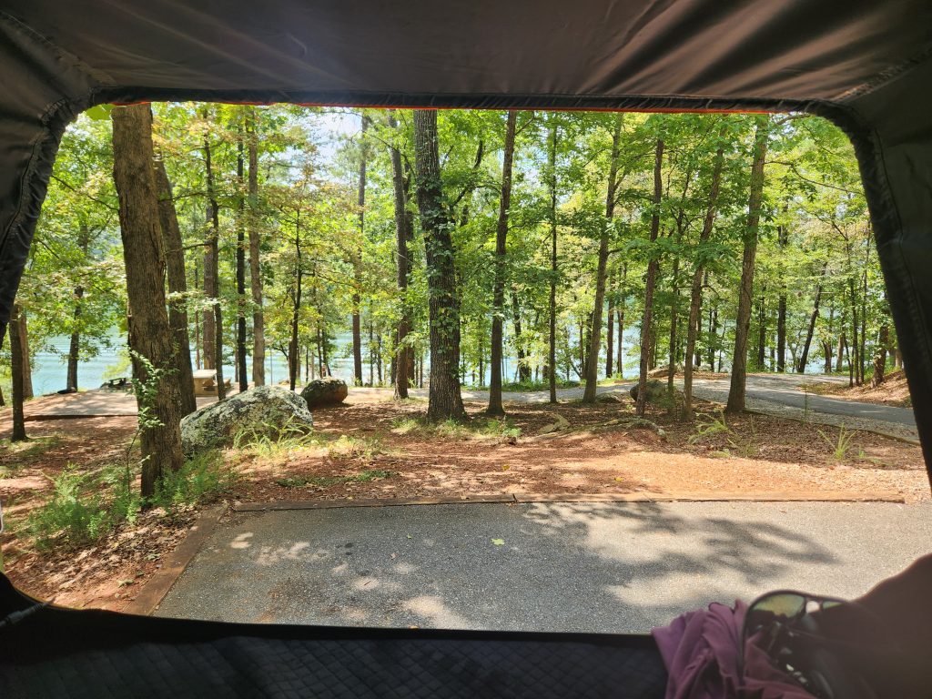
I arrived at Red Top Mountain State Park around 2pm on Thursday. The drive up was quiet and easy being that it was a weekday. When I arrived, the ride through the campgrounds was stunning. There was barely a camper in sight. The windy roads curve around the lake while passing through falling leaves, it could not have been more perfect.
I found my camp spot, number 45, and I quickly realized this was a primitive camping site with campsite 46’s parking spot right next to mine. Luckily there was enough room for me to park my truck further to the side so that way I could pull out my tent. The lady at the front office did tell me there was someone else registered that evening in the spot next to mine but I never saw them. I did, however, have some neighbors the next campsite over, but that was about a block or two away and they seemed like a nice older couple. I loved their VW Bus! It had one of those roofs that pops up and I did manage to get a picture, but I gotta find it.
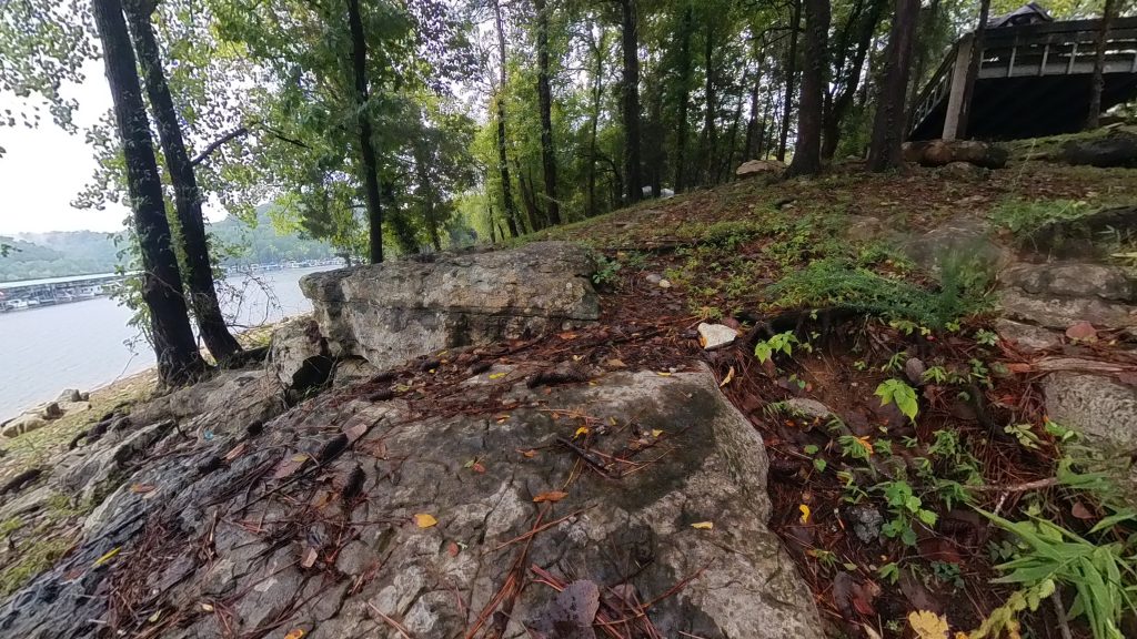
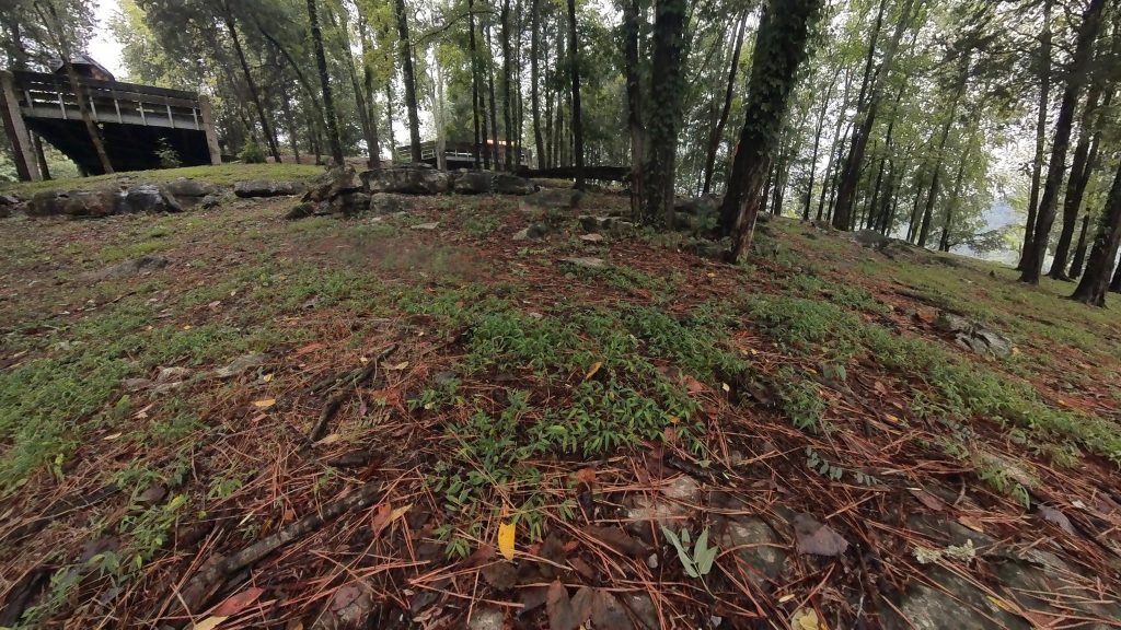
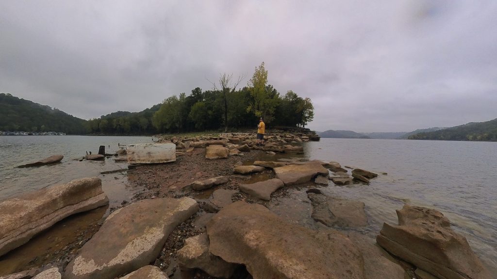
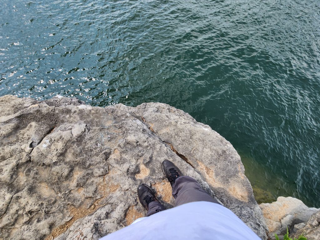
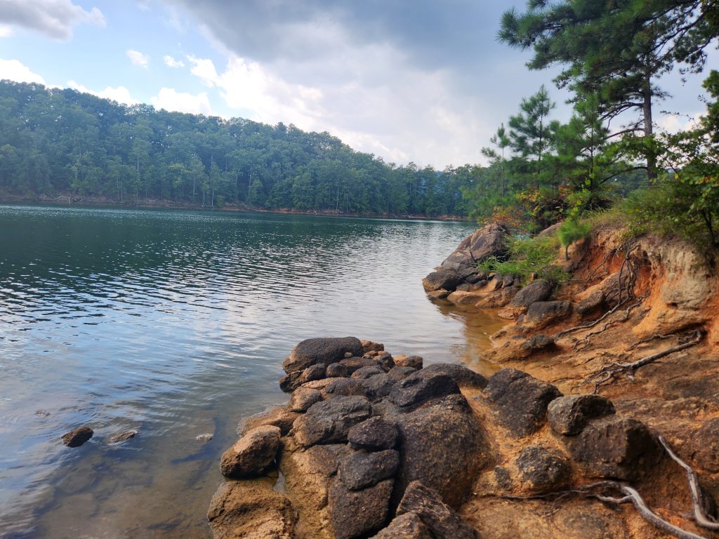
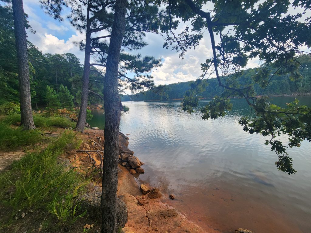
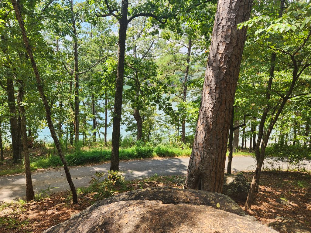
Once I had camp setup I went exploring. The lake here is beautiful. I had an early dinner/snack of crackers, cheese and meats. I wasn’t that hungry since I was sitting in a car for 6+ hours. I also took a stroll around the campgrounds and the lakefront, taking many pictures and videos. The red clay and rocks along the waterline was simply beautiful, but extremely slippery! So be cautious.
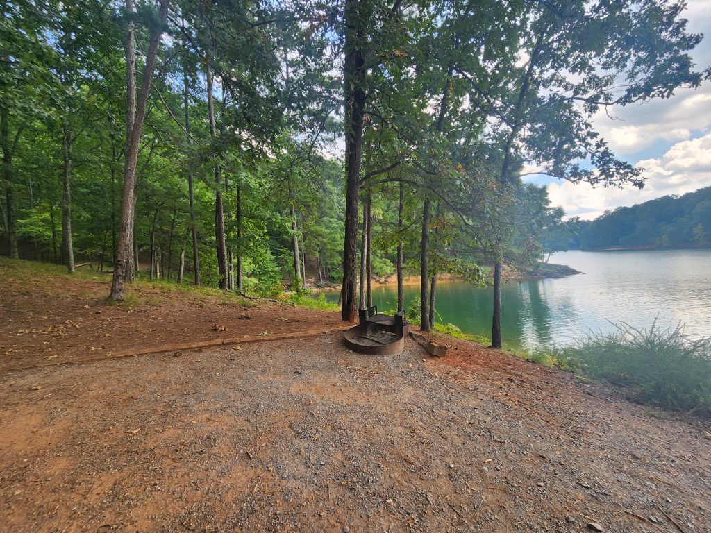
The evening was also nice and calm. Aside from the occasional car slowly passing by, no other campers’ setup up near me. There was, however, a group of campers that had a perfect spot. A little further down, the path was a camp site that had 4 parking spots together, and the camp was about a 30 second walk onto what appeared to be a small peninsula where up to 5 tents could fit. I’ve got to research that spot for next time! It did however start drizzling, but that was expected as I was paying attention to the weather forecasts and that front looked like it was passing my spots in GA and TN by Friday afternoon. I attempted to get a time lapse video, but it was pointless to keep it, seeing as it was only like 2 minutes long since it started raining more heavily and I had to bring my camera inside.
That was literally, the best sleep of my life! I woke up feeling refreshed. I packed up camp and decided to take one last stroll to the lake and grab more pictures. The sunrise over the lake and mountains in the background was stunning.
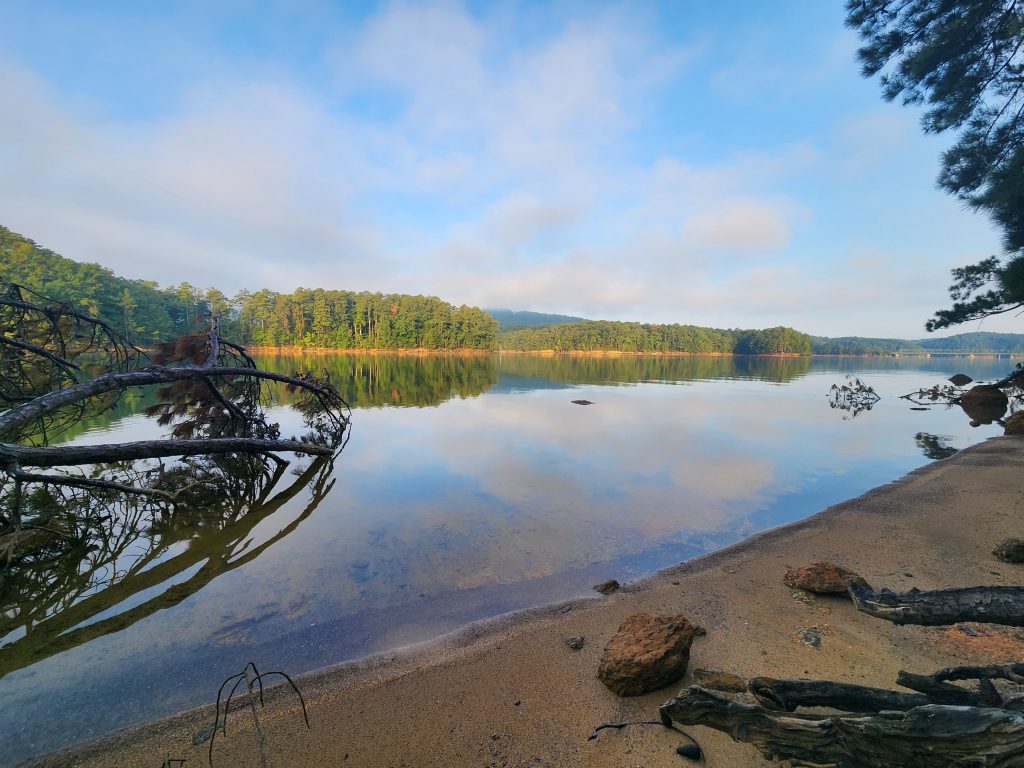
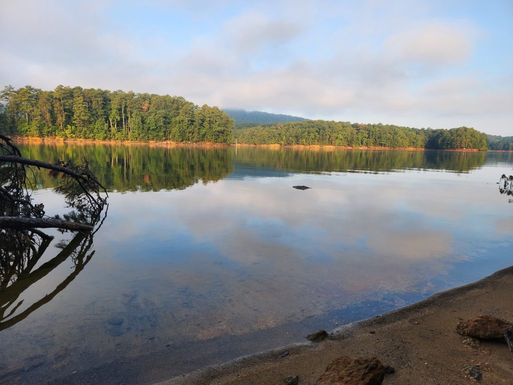
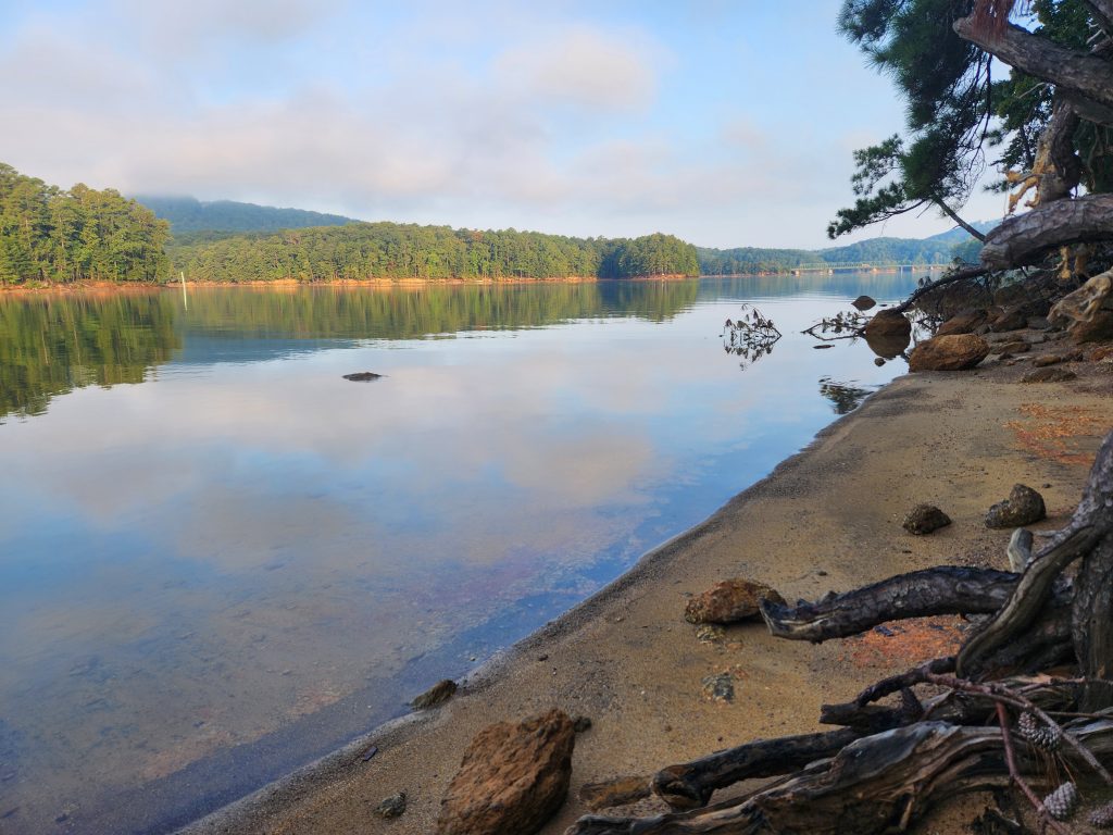
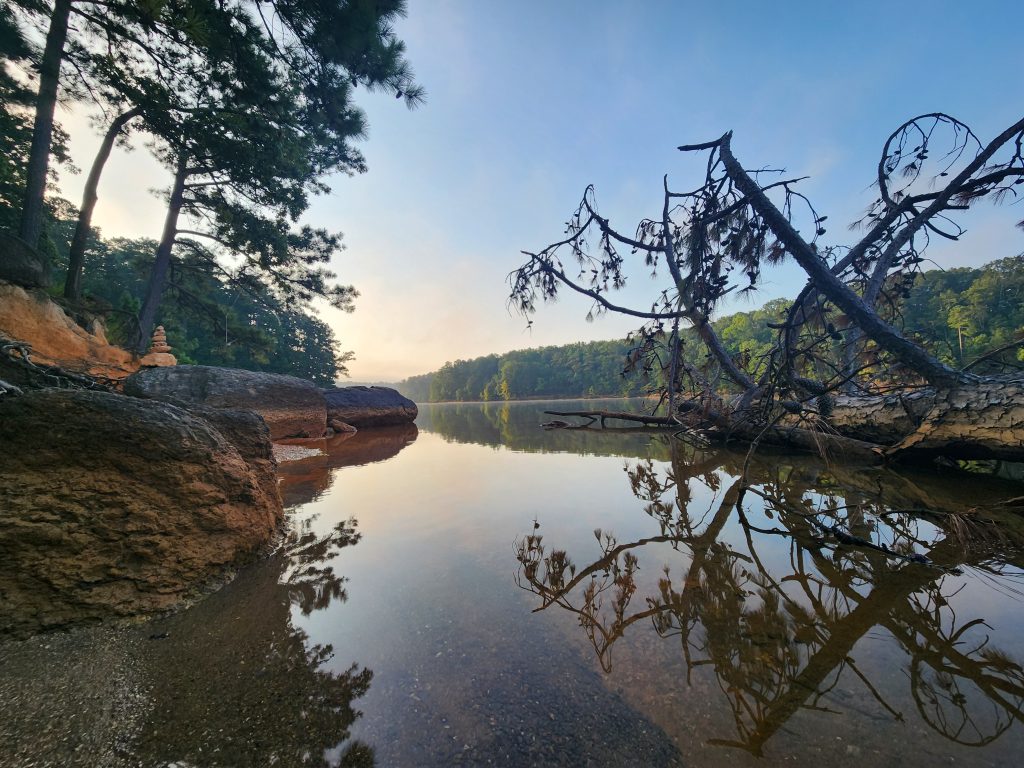
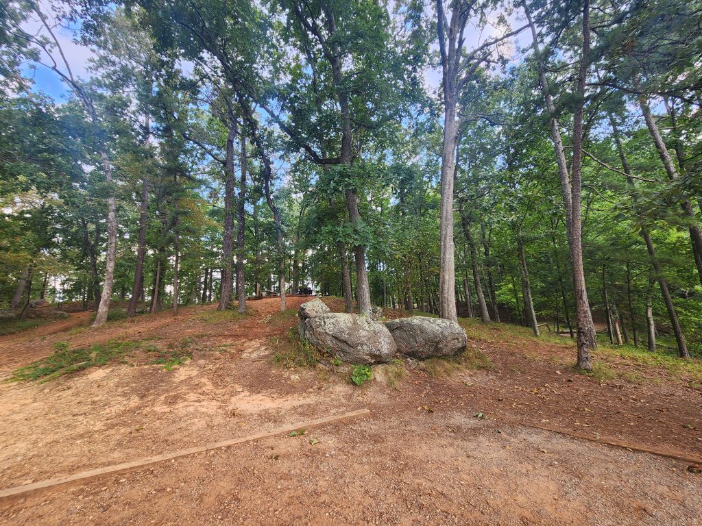
Image Gallery: Below are other images related to this campsite.
That’s all, I hope you enjoyed the scenery! Come back soon to see more of my adventures!
Happy camping!
See you on the trail!
~T.B. Pug